The best hikes from bus stations in East Dunbartonshire
4.5
(471)
8,149
hikers
91
hikes
Bus station hiking trails in East Dunbartonshire offer access to diverse landscapes, from the volcanic Campsie Fells to tranquil woodlands and historic waterways. The region is characterized by rolling hills, extensive forests, and significant water features like the Forth and Clyde Canal and various lochs. Hikers can explore remnants of the Roman Antonine Wall and the starting point of the West Highland Way, providing varied terrain and historical interest.
Best bus station hiking trails in East Dunbartonshire
- The most popular…
Last updated: June 28, 2026
4.9
(30)
156
hikers
10.7km
02:56
170m
170m
Moderate hike. Good fitness required. Easily-accessible paths. Suitable for all skill levels.
3.8
(13)
125
hikers
Moderate hike. Good fitness required. Easily-accessible paths. Suitable for all skill levels.

Sign up for free
5.0
(6)
64
hikers
4.69km
01:28
180m
180m
Easy hike. Great for any fitness level. Easily-accessible paths. Suitable for all skill levels.
4.7
(6)
47
hikers
6.80km
01:51
100m
100m
Easy hike. Great for any fitness level. Easily-accessible paths. Suitable for all skill levels.
5.0
(1)
39
hikers
Moderate hike. Good fitness required. Easily-accessible paths. Suitable for all skill levels.
Get access to more routes and recommendations from other explorers.
Sign up for free
Already have an account?
Our route recommendations are based on thousands of hikes, rides, and runs completed by other people on komoot.
Start today with a free account
Your next adventure awaits.
Login or Signup
Popular around East Dunbartonshire
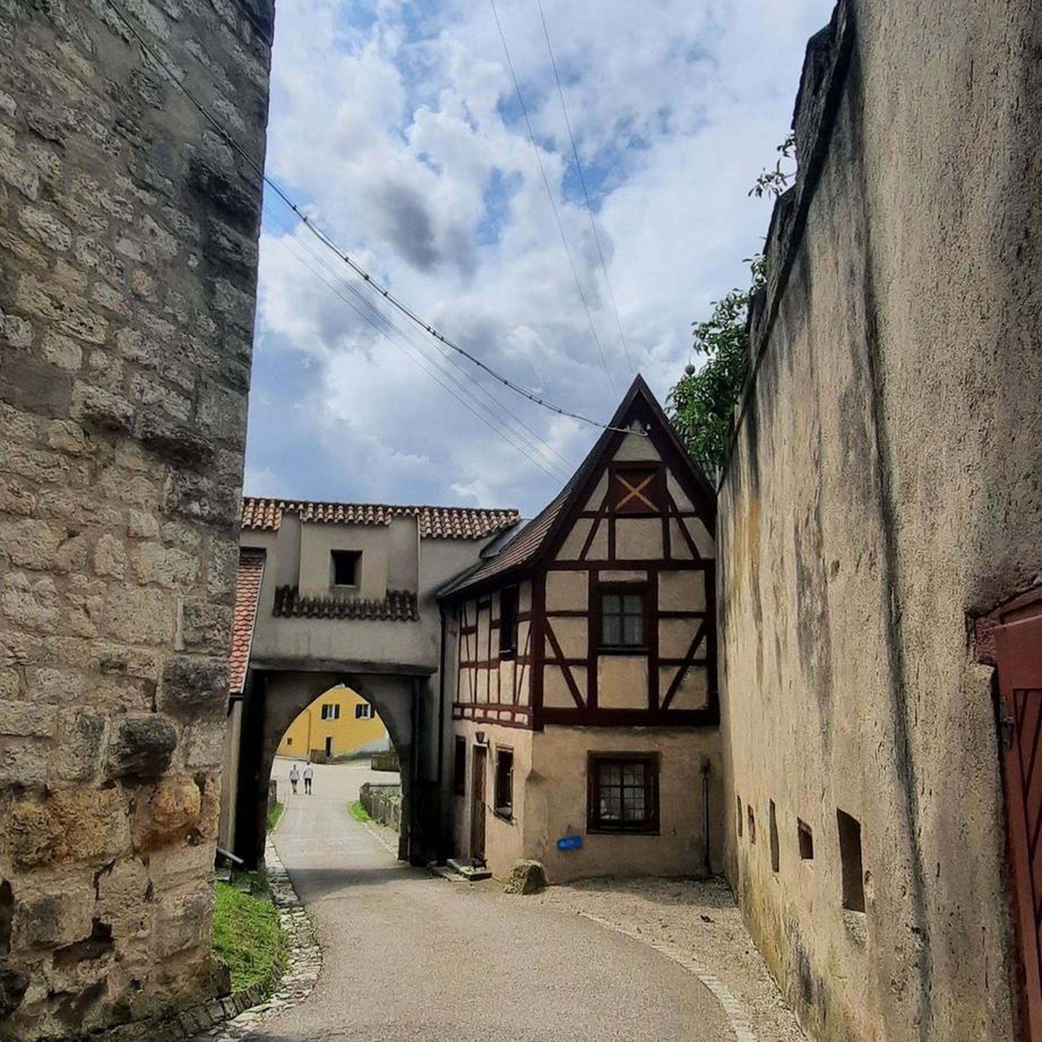
Hikes from bus stations around Campsie
Hikes from bus stations around Kirkintilloch
Hikes from bus stations around Bardowie Loch
Hikes from bus stations around Antermony Loch
Hikes from bus stations around Milngavie
Hikes from bus stations around Lenzie
Hikes from bus stations around Twechar
Hikes from bus stations around Bearsden North
Hikes from bus stations around Bearsden East
Hikes from bus stations around Bishopbriggs


Tips from the Community

The location of the 'location' pin on the Bing map is incorrect
0
0

Vintage Inn country pub with large beer garden next to canal. Very dog-friendly
0
0

The ruined remains of Lennox Castle. Originally built in ~1840 as a private property it was sold to The Glasgow Corporation (predecessor to the City Council) in 1927 and turned into a hospital for those with learning difficulties. In the 1940's-60's it also operated as a maternity home, and was the birth place of singer Lulu. It closed in 2002 and unfortunately was subject to a fire in 2008 which left it in its current state.
1
0
Cadder Parish Church of Scotland. There's a carpark next to the canal so you can start/finish the walk there, or further along the canal
0
0

On a nice day it’s the perfect little spot to take a wee break and grab a bite or a drink. It’s situated right on the tow path so you don’t need to worry about finding it!
0
0
The Antonine Wall was a turf wall, built on stone foundations by the Romans, about 20 years after Hadrian's Wall. It stretches from coast to coast across the central belt of Scotland. Croy Hill was a minor fort on the wall.
0
0

Unfortunately everything is fenced off, walled up or otherwise blocked off. But not bad for a walk. Unfortunately, it seems that a bunch of unreasonable people throw their rubbish in the forest there. From up here, go down to a mountain bike trail.
0
0

Croy Hill was a Roman fort,and probable temporary camp
0
0
Frequently Asked Questions
How many bus station hiking trails are there in East Dunbartonshire?
There are nearly 100 hiking trails in East Dunbartonshire that are easily accessible from bus stations. These routes offer a variety of experiences, from gentle strolls to more challenging ascents.
What kind of terrain can I expect on bus-accessible hikes in East Dunbartonshire?
East Dunbartonshire offers diverse terrain. You can find routes along the level towpaths of the Forth and Clyde Canal, through tranquil woodlands like Lennox Forest, or up into the rolling hills of the Campsie Fells. Some trails, particularly in the Fells, can be rugged with significant elevation changes, while others are gentle and well-maintained.
Are there easy hiking options accessible by bus in East Dunbartonshire?
Yes, East Dunbartonshire has many easy bus-accessible hiking options. For example, the Café Sonas Bistro – Glen Burn Waterfall loop from Clachan of Campsie is an easy route that includes a waterfall. Another gentle option is the Lennox Castle Ruins – Ruins of Lennox Castle loop from Lennoxtown, which explores woodland paths.
What do other hikers enjoy most about bus-accessible trails in East Dunbartonshire?
The bus-accessible trails in East Dunbartonshire are highly rated by the komoot community, with an average score of 4.38 stars. Hikers often praise the region's blend of natural beauty, historical sites, and the convenience of reaching trailheads via public transport. The varied landscapes, from canal paths to hill climbs, are frequently highlighted.
Are there any circular routes I can do from a bus stop?
Yes, many bus-accessible routes in East Dunbartonshire are circular, allowing you to start and end your hike at the same bus stop. An example is the Bar Hill Roman Fort – Croy Hill Roman Fort loop from Twechar, which offers historical insights and scenic views.
Can I find hikes with waterfalls near bus stations?
Yes, you can. The Café Sonas Bistro – Glen Burn Waterfall loop from Clachan of Campsie is an easy route that takes you to the beautiful Glen Burn Waterfall, starting conveniently from Clachan of Campsie.
Are there family-friendly bus-accessible hikes in East Dunbartonshire?
East Dunbartonshire offers several family-friendly options. Many trails within Mugdock Country Park are suitable for families, featuring well-marked paths and points of interest like Mugdock Castle. The level towpaths of the Forth and Clyde Canal also provide easy, safe walking for all ages.
Are bus-accessible trails in East Dunbartonshire suitable for dogs?
Most trails in East Dunbartonshire are dog-friendly, though it's always best to keep dogs on a lead, especially near livestock or in nature reserves. Areas like Mugdock Country Park and the Forth and Clyde Canal towpath are popular choices for walks with canine companions.
What historical landmarks can I see on bus-accessible hikes?
East Dunbartonshire is rich in history. You can explore remnants of the Roman Antonine Wall, a UNESCO World Heritage Site, at locations like Croy Hill, which is part of the Bar Hill Roman Fort – Croy Hill Roman Fort loop from Twechar. Mugdock Country Park also features ancient ruins like Mugdock Castle. You can also find the Castle Hill Iron Age Fort.
Are there routes that offer good views or viewpoints?
Absolutely. Many trails in East Dunbartonshire provide stunning views. The Campsie Fells offer panoramic vistas that can extend to the Firth of Forth and the Kilsyth Hills. For example, the View of Glasgow from Crow Road – Crichton's Cairn loop from Clachan of Campsie provides excellent views. You can also find viewpoints like Earl's Seat Summit and Cort-ma-Law Summit.
Can I combine a hike with a visit to a pub or cafe?
Yes, several bus-accessible routes pass near villages and towns with amenities. For instance, the Forth and Clyde Canal – Stables Inn Canal View loop from East Dunbartonshire offers opportunities to stop at establishments along the canal. Clachan of Campsie, a starting point for some routes, also has local cafes and bistros.
What natural features or attractions can I explore along these bus-accessible routes?
Beyond the trails themselves, you can discover a variety of natural features and attractions. The region boasts the dramatic Campsie Fells, tranquil lochs like Craigallian Loch, and significant waterways such as the Rivers Kelvin and Allander. The Forth and Clyde Canal Towpath is also a prominent feature, offering peaceful waterside walks.
Most popular routes in East Dunbartonshire
Most popular attractions in East Dunbartonshire

Get inspired with the komoot mobile app


Didn’t find what you were looking for?
Check out more Hikes throughout East Dunbartonshire below and find the perfect route in your destination.
Explore more
Browse the best Hikes in other regions.
