The best hikes from bus stations in Drenthe
4.5
(36834)
194,307
hikers
3,520
hikes
Bus station hiking trails in Drenthe traverse a landscape characterized by extensive heathlands, dense forests, and shifting sand drifts. The region features meandering stream valleys and unique geological formations like the Hondsrug, a glacial ridge. Ancient hunebeds are prominent throughout the terrain, offering a blend of natural and historical exploration. This diverse environment provides varied hiking experiences across its well-preserved natural areas.
Best bus station hiking trails in Drenthe
- The most popular bus station hiking route is A varied autumn…
Last updated: August 21, 2026
4.7
(306)
990
hikers
9.31km
02:21
10m
10m
Moderate hike. Good fitness required. Easily-accessible paths. Suitable for all skill levels.
4.8
(276)
1,237
hikers
Moderate hike. Good fitness required. Easily-accessible paths. Suitable for all skill levels.

Sign up for free
4.7
(252)
1,040
hikers
Moderate hike. Good fitness required. Easily-accessible paths. Suitable for all skill levels.
4.6
(156)
635
hikers
Moderate hike. Good fitness required. Easily-accessible paths. Suitable for all skill levels.
4.7
(108)
551
hikers
Easy hike. Great for any fitness level. Easily-accessible paths. Suitable for all skill levels.
Get access to more routes and recommendations from other explorers.
Sign up for free
Already have an account?
Our route recommendations are based on thousands of hikes, rides, and runs completed by other people on komoot.
Start today with a free account
Your next adventure awaits.
Login or Signup
Popular around Drenthe

Hikes from bus stations in Nationaal Park Drentsche Aa

Hikes from bus stations around Nationaal beek- en esdorpenlandschap Drentsche Aa

Hikes from bus stations around Dwingelderveld National Park

Hikes from bus stations in Boswachterij Exloo

Hikes from bus stations around Leekstermeer
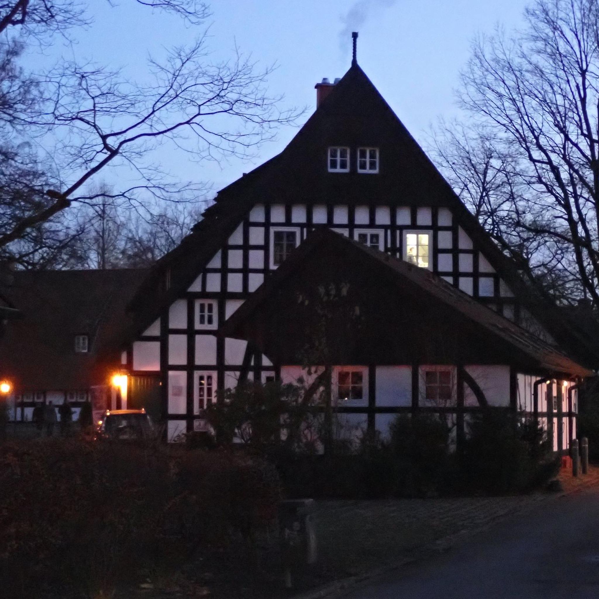
Hikes from bus stations around Drents-Friese Wold

Hikes from bus stations in Elperstroomgebied
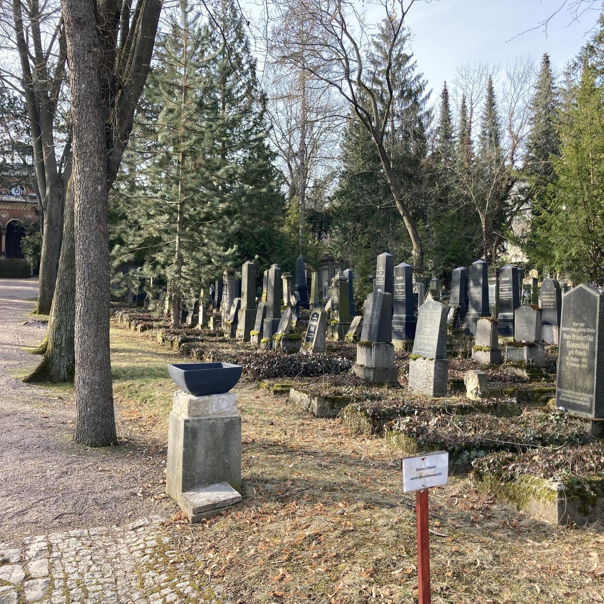
Hikes from bus stations around Hoornseplas

Hikes from bus stations in Boswachterij Odoorn

Hikes from bus stations in Boswachterij Schoonloo
Other adventures in Drenthe


Tips from the Community

The boardwalk is still broken where the tree fell through it. But a tree further up has disappeared. However, the path is overgrown in places, e.g. by brambles. Be careful not to step off the boardwalks.
0
0

on this route you can find many small highlights. This is one of them :-)
0
0
on this route you can find many small highlights.
0
0

The Mantingerzand is a vast nature reserve between the villages of Mantinge and Nieuw-Balinge. This area, better known as the Mantingerveld, consists largely of heathland, fens, forests, and some small drifting sands. Former agricultural lands are also part of the Natura 2000 area. These lands have been developed by the owner, Natuurmonumenten, for nature development. The main goal of these interventions was to connect isolated heathlands into one large nature reserve. Heathlands such as the Hullenzand, the Balingerzand and Mantingerzand, Martensplek, and the Lentsche Veen. These nature reserves were valuable remnants of a vast heathland between Hoogeveen and Westerbork, which was increasingly reclaimed over the course of the 20th century. Each of the four areas individually still possessed high natural quality, but were under considerable pressure due to their small size. A striking feature of the Natura 2000 area is the extensive and magnificent juniper thickets, which are among the most beautiful thickets in the Netherlands. The dry and wet heathlands, fens, and drifting sands also demonstrate the area's great diversity. Several old deciduous forests and a number of reclaimed forests are also part of the Natura 2000 area. Source: https://www.provincie.drenthe.nl/onderwerpen/natuur-milieu/natuur/natuurbeleid-regels/natura-2000/gebieden/mantingerzand/
0
0
The Mantingerzand is a vast nature reserve between the villages of Mantinge and Nieuw-Balinge. This area, better known as the Mantingerveld, consists largely of heathland, fens, forests, and some small drifting sands. Former agricultural lands are also part of the Natura 2000 area. These lands have been developed by the owner, Natuurmonumenten, for nature development. The main goal of these interventions was to connect isolated heathlands into one large nature reserve. Heathlands such as the Hullenzand, the Balingerzand and Mantingerzand, Martensplek, and the Lentsche Veen. These nature reserves were valuable remnants of a vast heathland between Hoogeveen and Westerbork, which was increasingly reclaimed over the course of the 20th century. Each of the four areas still possessed high natural quality, but their small size put them under considerable pressure. A striking feature of the Natura 2000 area is the extensive and magnificent juniper thickets, which are among the most beautiful thickets in the Netherlands. The dry and wet heathlands, fens, and drifting sands also demonstrate the area's great diversity. Several old deciduous forests and a number of reclaimed forests are also part of the Natura 2000 area. Source: https://www.provincie.drenthe.nl/onderwerpen/natuur-milieu/natuur/natuurbeleid-regels/natura-2000/gebieden/mantingerzand/
1
0
The Mantingerzand is a vast nature reserve between the villages of Mantinge and Nieuw-Balinge. This area, better known as the Mantingerveld, consists largely of heathland, fens, forests, and some small drifting sands. Former agricultural lands are also part of the Natura 2000 area. These lands have been developed by the owner, Natuurmonumenten, for nature development. The main goal of these interventions was to connect isolated heathlands into one large nature reserve. Heathlands such as the Hullenzand, the Balingerzand and Mantingerzand, Martensplek, and the Lentsche Veen. These nature reserves were valuable remnants of a vast heathland between Hoogeveen and Westerbork, which was increasingly reclaimed over the course of the 20th century. Each of the four areas individually still possessed high natural quality, but were under considerable pressure due to their small size. A striking feature of the Natura 2000 area is the extensive and magnificent juniper thickets, which are among the most beautiful thickets in the Netherlands. The dry and wet heathlands, fens, and drifting sands also demonstrate the area's great diversity. Several old deciduous forests and a number of reclaimed forests are also part of the Natura 2000 area. Source: https://www.provincie.drenthe.nl/onderwerpen/natuur-milieu/natuur/natuurbeleid-regels/natura-2000/gebieden/mantingerzand/
1
0
The Mantingerzand is a vast nature reserve between the villages of Mantinge and Nieuw-Balinge. This area, better known as the Mantingerveld, consists largely of heathland, fens, forests, and some small drifting sands. Former agricultural lands are also part of the Natura 2000 area. These lands have been developed by the owner, Natuurmonumenten, for nature development. The main goal of these interventions was to connect isolated heathlands into one large nature reserve. Heathlands such as the Hullenzand, the Balingerzand and Mantingerzand, Martensplek, and the Lentsche Veen. These nature reserves were valuable remnants of a vast heathland between Hoogeveen and Westerbork, which was increasingly reclaimed over the course of the 20th century. Each of the four areas individually still possessed high natural quality, but were under considerable pressure due to their small size. A striking feature of the Natura 2000 area is the extensive and magnificent juniper thickets, which are among the most beautiful thickets in the Netherlands. The dry and wet heathlands, fens, and drifting sands also demonstrate the area's great diversity. Several old deciduous forests and a number of reclaimed forests are also part of the Natura 2000 area. Source: https://www.provincie.drenthe.nl/onderwerpen/natuur-milieu/natuur/natuurbeleid-regels/natura-2000/gebieden/mantingerzand/
2
0

Added to the collection: https://www.komoot.com/de-de/collection/3600632/-naturdenkmaeler-besondere-baeume-und-weitere-schaetze-der-natur
0
0
Frequently Asked Questions
How many bus-accessible hiking trails are there in Drenthe?
Drenthe offers a vast network of hiking trails, with over 3,400 routes accessible from bus stations. This includes more than 1,900 easy routes and over 1,300 moderate options, ensuring there's a suitable path for every hiker.
What makes Drenthe a great region for bus-accessible hiking?
Drenthe is ideal for bus-accessible hiking due to its diverse and well-preserved natural landscapes, including vast heathlands, dense forests, and unique geological formations like the De Hondsrug UNESCO Global Geopark. The extensive public transport network allows easy access to trailheads, letting you explore tranquil nature without needing a car.
What do other hikers enjoy most about bus-accessible trails in Drenthe?
The komoot community highly rates the hiking experience in Drenthe, with an average score of 4.48 stars. Hikers frequently praise the region's peaceful atmosphere, the variety of landscapes from heath to forest, and the well-marked paths that make navigation straightforward. Many appreciate the convenience of reaching these natural gems by bus.
When is the best time of year to hike from bus stations in Drenthe?
While Drenthe is beautiful year-round, late summer (August-September) is particularly stunning when the heathlands, such as those in Dwingelderveld or Drouwenerzand, burst into vibrant purple bloom. Spring offers fresh greenery and blooming wildflowers, while autumn provides rich fall colors in the forests. Even winter hikes can be magical, especially in areas like Fochteloërveen, offering quiet solitude.
Are there easy or beginner-friendly bus-accessible hikes in Drenthe?
Yes, Drenthe has plenty of easy and beginner-friendly routes accessible by bus. For example, the Boardwalk in Drentsche Aa – Wolvenspoor Trail loop is an easy option that lets you experience the picturesque stream valleys. The View of Drouwenerzand Heath loop is another accessible and relatively short easy hike.
Can I find circular hiking routes accessible by bus in Drenthe?
Absolutely. Many of Drenthe's bus-accessible trails are designed as circular routes, allowing you to start and end at the same bus stop without retracing your steps. Examples include the Sheep in the Bakkeveense Duinen loop and the Mantingerzand Nature Reserve loop, which offer varied landscapes and return you to your starting point.
Are the bus-accessible trails in Drenthe suitable for families?
Many bus-accessible trails in Drenthe are well-suited for families, offering relatively flat terrain and shorter distances. Areas like the Drentsche Aa National Park provide gentle paths through stream valleys, while the Drouwenerzand offers unique sand drifts and heathlands that can be exciting for children to explore. Look for 'easy' graded routes for the most family-friendly options.
Are dogs allowed on bus-accessible hiking trails in Drenthe?
Generally, dogs are welcome on many hiking trails in Drenthe, especially in national parks and nature reserves, often on a leash. However, specific rules can vary by area, particularly in protected zones or near grazing livestock. It's always best to check local signage or the specific route description on komoot for details regarding dog access before you go.
What natural features can I expect to see along bus-accessible routes?
Drenthe's bus-accessible routes showcase a rich variety of natural features. You can expect to encounter vast heathlands, dense forests, shifting sand drifts, and picturesque stream valleys. Notable areas include the Dwingelderveld National Park with its wet heath, the unique ecosystem of Fochteloërveen, and the ancient landscapes of the Drentsche Aa National Park.
Are there any historical or cultural landmarks near bus-accessible hiking trails?
Yes, Drenthe is rich in history. Many trails pass by ancient Hunebeds (dolmens), which are megalithic burial monuments over 5,000 years old. You can find these near highlights like Dolmen D10, Gasteren or Dolmen D53. The region also features traditional villages and historical sites like the Bomb Craters on the Havelteberg, offering a blend of nature and heritage.
Are there viewpoints or places to rest along bus-accessible routes?
Many trails in Drenthe offer scenic viewpoints and opportunities for rest. For instance, the Fochteloërveen area has watchtowers providing panoramic views. You might also find shelters or bird hides, such as the Diependal Bird Hide or View of Bargerveen Through the Observation Window, perfect for a break and wildlife spotting. Some routes also pass through villages with cafes or benches.
Where can I find more information about Drenthe's nature and national parks?
For more in-depth information about the natural beauty and national parks of Drenthe, you can visit the official tourism website: visitdrenthe.com/nature-nationalparks. This resource provides details on the region's diverse ecosystems and conservation efforts.
Most popular routes in Drenthe
Most popular attractions in Drenthe

Get inspired with the komoot mobile app


Didn’t find what you were looking for?
Check out more Hikes throughout Drenthe below and find the perfect route in your destination.
Explore more
Browse the best Hikes in other regions.
