The best hikes from bus stations at the Αποκεντρωμένη Διοίκηση Αιγαίου
4.4
(18936)
96,191
hikers
813
hikes
Bus station hiking trails at the Αποκεντρωμένη Διοίκηση Αιγαίου traverse diverse landscapes, from volcanic formations and mountainous terrains to lush forests and extensive coastlines. The region features prominent peaks, ancient footpaths, and coastal routes offering sea views. Many trails follow historical "monopatia" and "kalderimia" connecting villages and ancient sites, often passing through old cultivated terraces.
Best bus station hiking trails at the Αποκεντρωμένη Διοίκηση Αιγαίου
- The most popular bus station hiking route is View of Oia – Fira to Oia…
Last updated: August 21, 2026
4.8
(349)
2,861
hikers
16.0km
05:00
630m
630m
Hard hike. Very good fitness required. Easily-accessible paths. Suitable for all skill levels.
4.7
(192)
893
hikers
9.98km
04:18
630m
630m
Hard hike. Good fitness required. Sure-footedness, sturdy shoes and alpine experience required.

Sign up for free
4.8
(119)
811
hikers
9.24km
03:54
590m
590m
Hard hike. Good fitness required. Sure-footedness, sturdy shoes and alpine experience required.
4.4
(135)
430
hikers
Moderate hike. Good fitness required. Mostly accessible paths. Sure-footedness required.
4.4
(179)
484
hikers
10.3km
02:53
200m
200m
Moderate hike. Good fitness required. Easily-accessible paths. Suitable for all skill levels.
Get access to more routes and recommendations from other explorers.
Sign up for free
Already have an account?
Our route recommendations are based on thousands of hikes, rides, and runs completed by other people on komoot.
Start today with a free account
Your next adventure awaits.
Login or Signup
Popular around Αποκεντρωμένη Διοίκηση Αιγαίου
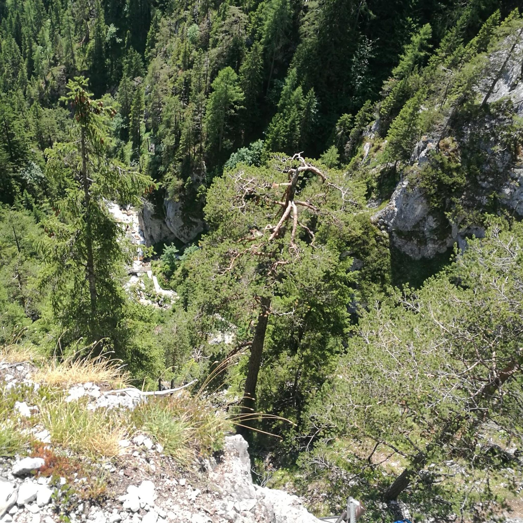
Hikes from bus stations in Φανάρι (Φιλοτίου Νάξου)
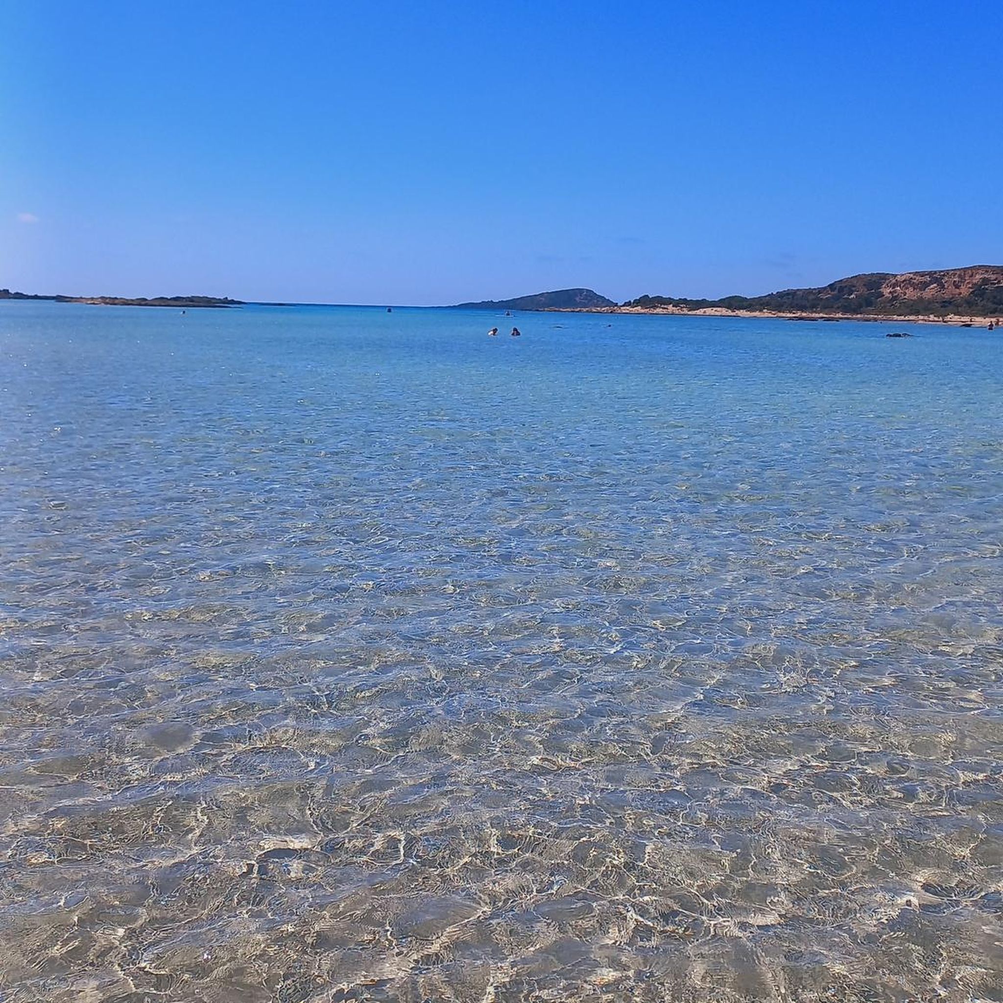
Hikes from bus stations in Samos
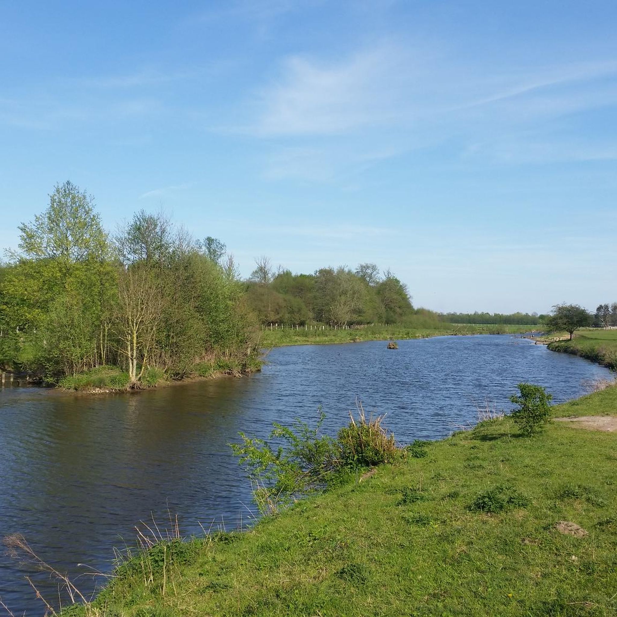
Hikes from bus stations in Φάρος Ακρωτηρίου-Οίας (Θήρας Θέση Καλντέρας)
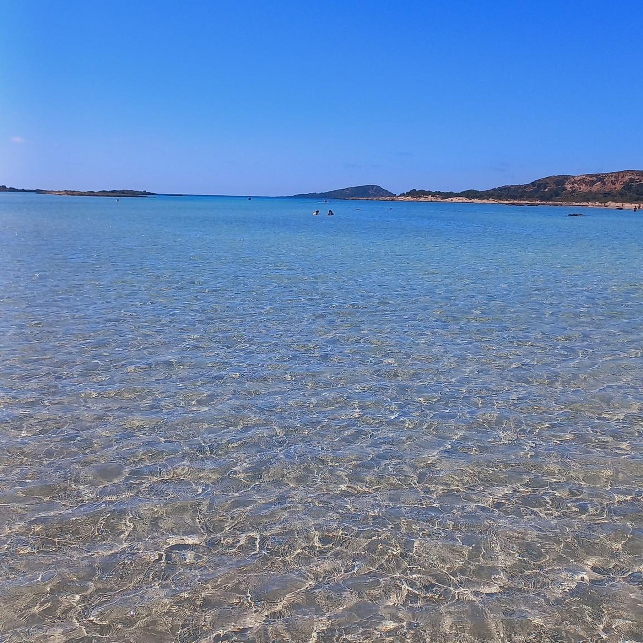
Hikes from bus stations in Άσπρος Βράχος Δενδριάς (Αμπέλου-Μανολάτων)

Hikes from bus stations around Milos
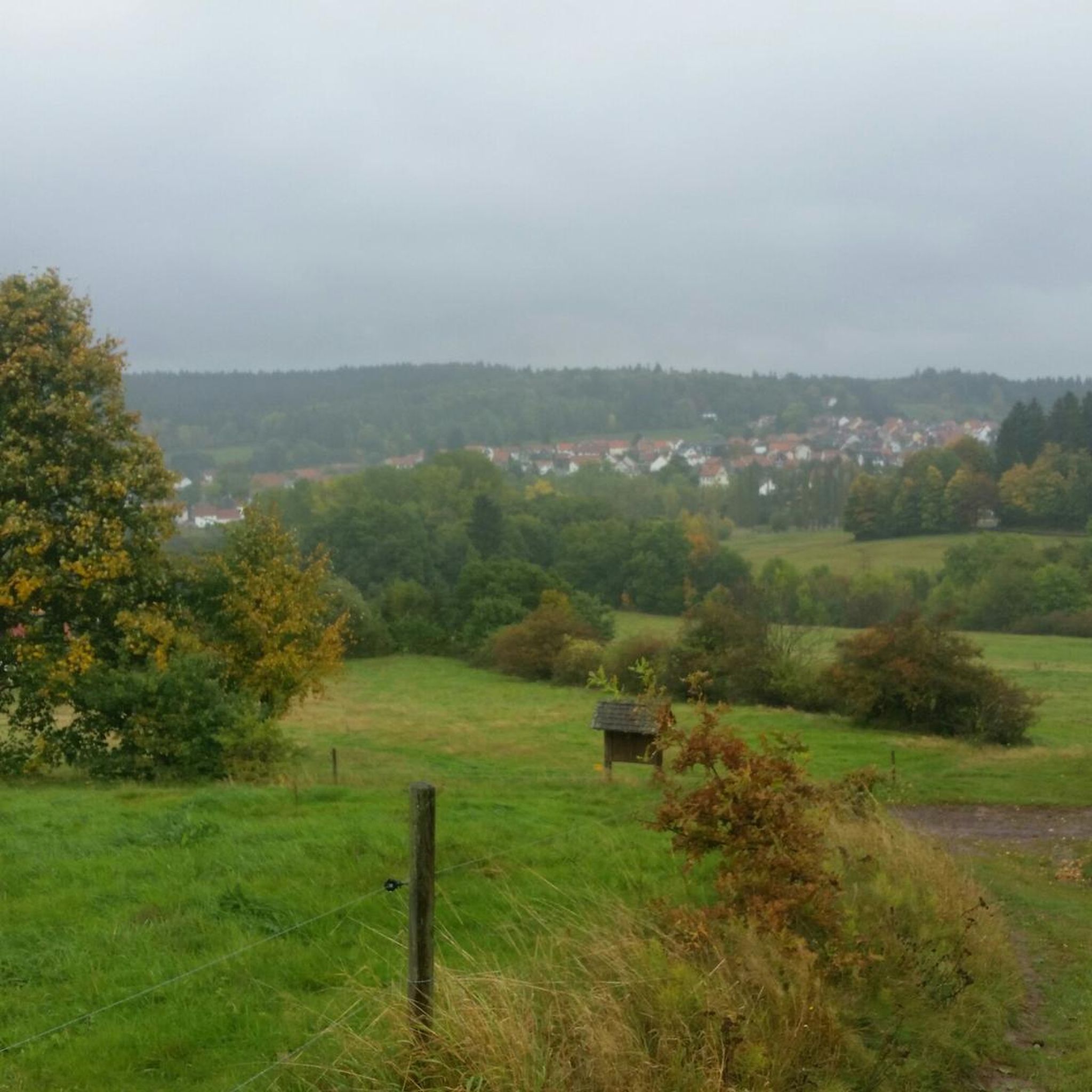
Hikes from bus stations in Νότια (Παροικιάς Πάρου)
Hikes from bus stations in Άγιοι Πάντες - Στρούμπουλα Νήσου Πάρου
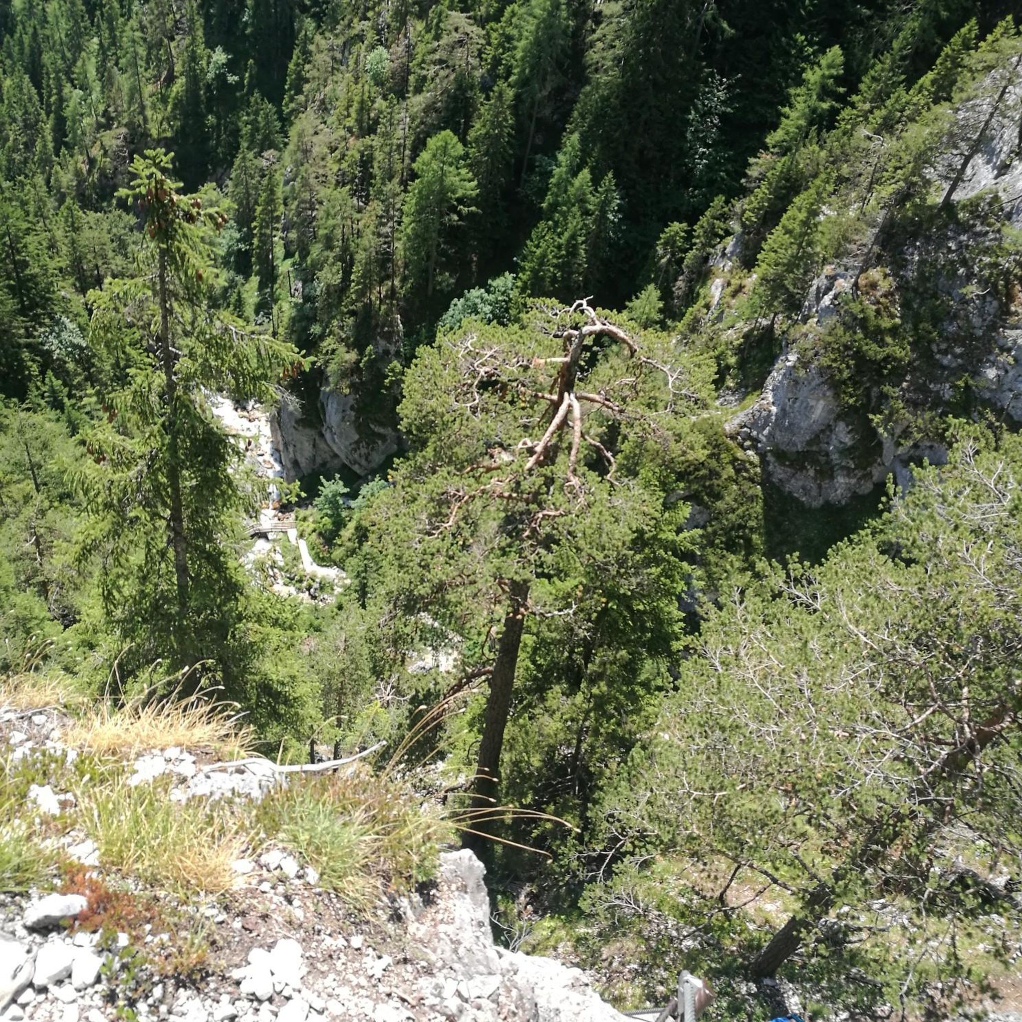
Hikes from bus stations in Τρούλος (Φιλοτίου Νάξου)

Hikes from bus stations in Κάστρο, Τσαγκάρη, Τσαμπί, Σαμπέη, Αέρας Δήμου Ηρακλειδών Νήσου Κω

Hikes from bus stations around Tinos
Tips from the Community

The path is only worth it for the view of the bay. Otherwise, there's nothing here.
0
0

A truly beautiful bay near Faliraki. You can take a nice break on the beach during your hike and maybe go for a swim. There's also a popular restaurant on site. The bay, actually called Vagies Bay, was named after actor Anthony Quinn, who filmed "The Guns of Navarone" here with Gregory Peck, David Niven, and other actors.
0
0

The narrow switchbacks up the mountain were a small highlight in themselves, but the view of the bay from above was the real highlight. It was named after actor Anthony Quinn, who was captivated by the beauty of the place while filming "The Guns of Navarone." The bay is characterized by its clear, emerald-green waters, rocky surroundings, and pine trees, and is a popular destination for swimming, snorkeling, and diving.
0
0

In Filoti there are several staircases worth seeing, including the marble stairs inside the tower of Filoti, which has three floors, the stairs that lead to the church where the Folklore Museum is located, and so on.
0
0
A small museum that welcomes donations. A visit is worthwhile. The building has stood since 1730.
0
0


The path to the beach or to the Hochburg Monastery is challenging, very rocky and slippery, so please be careful
0
0
It's best to arrive early so you can climb the steps to the monastery without the tourist crowds. There's also plenty of shade while climbing the mountain.
0
0
Frequently Asked Questions
How many bus station hiking trails are available in the Αποκεντρωμένη Διοίκηση Αιγαίου?
There are over 800 hiking trails in the Αποκεντρωμένη Διοίκηση Αιγαίου that are accessible from bus stations. This includes a wide range of options, from easy strolls to challenging mountain ascents.
What types of landscapes can I expect on bus-accessible hikes in the Aegean region?
The Αποκεντρωμένη Διοίκηση Αιγαίου offers an incredibly diverse range of landscapes. You can find trails through volcanic terrains on islands like Nisyros and Santorini, mountainous paths on Naxos and Samos, lush forests on islands such as Samothrace and Lesbos, and stunning coastal routes with sea views. Many trails also follow ancient footpaths and terraces, offering a glimpse into the region's history.
Are there easy bus-accessible hiking trails suitable for beginners or families?
Yes, there are over 330 easy hiking trails accessible by bus in the Αποκεντρωμένη Διοίκηση Αιγαίου. These routes are generally shorter and have less elevation gain, making them ideal for beginners or families looking for a relaxed outdoor experience. While specific family-friendly routes are not listed here, many easy trails are suitable for all ages.
What are some challenging bus-accessible hikes for experienced hikers?
For experienced hikers, the region offers numerous challenging routes. One notable option is the Mount Zas Trail (Naxos) – Mount Zas Summit (Naxos) loop from Φιλότι, which involves significant elevation gain to reach the highest peak in the Cyclades. Another demanding route is the View of Oia – Fira to Oia Caldera Trail loop from Imerovigli, offering dramatic caldera views with considerable distance and elevation changes.
Are there any circular hiking routes accessible from bus stations?
Yes, many bus-accessible routes in the Αποκεντρωμένη Διοίκηση Αιγαίου are circular, allowing you to start and end your hike at the same point, often near a bus stop. Examples include the Mount Zas Trail (Naxos) loop and the Tsambika Monastery loop. These loops are convenient for public transport users as they eliminate the need for return travel arrangements from a different endpoint.
What interesting landmarks or natural features can I see along bus station hiking trails?
The trails often lead to fascinating landmarks and natural features. You can discover summits like Summit of Mount Dikeos or Mount Zas Summit (Naxos), dramatic rock formations such as Skaros Rock, and beautiful waterfalls like those in Butterfly Valley or the Potami Gorge and Waterfalls. Historical sites, ancient monasteries, and traditional villages are also common sights.
Can I find trails with waterfalls accessible by bus?
Yes, the region offers trails that feature waterfalls. Samothrace is particularly known for its numerous waterfalls and natural pools (Vathres) on Saos Mountain. On Samos, you can find routes leading to the Potami waterfalls. Look for trails that pass through lush, forested areas, as these are often where you'll discover these refreshing natural features.
What is the best time of year to hike from bus stations in the Αποκεντρωμένη Διοίκηση Αιγαίου?
Spring (April to June) and autumn (September to November) are generally considered the best seasons for hiking in the Aegean. During these periods, the weather is milder, the landscapes are vibrant, and the summer crowds are smaller. Summers can be very hot, especially for longer or more exposed routes, while winters can bring unpredictable weather, though some coastal walks remain pleasant.
What do other hikers enjoy most about hiking in the Αποκεντρωμένη Διοίκηση Αιγαίου?
The hiking trails in the Αποκεντρωμένη Διοίκηση Αιγαίου are highly rated by the komoot community, with an average score of 4.45 stars from over 16,000 ratings. Reviewers often praise the stunning panoramic views, the diverse landscapes ranging from volcanic to lush green, the historical significance of ancient paths, and the opportunity to discover hidden coves and traditional villages.
Are there any specific permits required for hiking certain trails in the region?
Generally, no specific permits are required for hiking most public trails in the Αποκεντρωμένη Διοίκηση Αιγαίου. However, it's always advisable to check local regulations, especially if you plan to visit protected natural areas or specific archaeological sites, as some may have entrance fees or restricted access. For unique volcanic areas like Nisyros, you can find more information on local tourism sites like visitnisyros.gr.
Are bus-accessible hiking trails in the Αποκεντρωμένη Διοίκηση Αιγαίου suitable for dogs?
While many outdoor areas in Greece are generally dog-friendly, specific regulations can vary. It's always best to keep your dog on a leash, especially in areas with livestock or wildlife, and to clean up after them. Check local signage or specific island guidelines for any restrictions on trails or in protected natural parks. Always ensure your dog is well-hydrated, especially during warmer months.
Most popular routes at the Αποκεντρωμένη Διοίκηση Αιγαίου
Most popular attractions at the Αποκεντρωμένη Διοίκηση Αιγαίου

Get inspired with the komoot mobile app


Didn’t find what you were looking for?
Check out more Hikes throughout Αποκεντρωμένη Διοίκηση Αιγαίου below and find the perfect route in your destination.
Explore more
Browse the best Hikes in other regions.
