The best hikes from bus stations in Vilnius County
4.6
(2483)
26,974
hikers
754
hikes
Hiking in Vilnius County offers diverse natural landscapes, characterized by extensive forests, numerous tranquil lakes, and picturesque river valleys. The region's varied topography includes the Medininkai highlands, home to Aukštojas Hill, Lithuania's highest point at 293 meters above sea level. Hikers can explore a blend of end moraine ridges, glaciofluvial terraces, and erosional slopes, providing a range of terrain. Even within the city of Vilnius, significant green spaces like Pavilniai Regional Park and Vingis Park offer accessible trails.
Best bus…
Last updated: August 21, 2026
4.9
(56)
484
hikers
9.15km
02:24
70m
70m
Moderate hike. Good fitness required. Easily-accessible paths. Suitable for all skill levels.
4.7
(59)
355
hikers
Easy hike. Great for any fitness level. Easily-accessible paths. Suitable for all skill levels.

Sign up for free
4.7
(46)
396
hikers
10.3km
02:44
100m
100m
Moderate hike. Good fitness required. Easily-accessible paths. Suitable for all skill levels.
4.8
(82)
252
hikers
19.2km
05:06
200m
200m
Hard hike. Very good fitness required. Easily-accessible paths. Suitable for all skill levels.
4.8
(70)
262
hikers
15.1km
04:07
210m
210m
Moderate hike. Good fitness required. Easily-accessible paths. Suitable for all skill levels.
Get access to more routes and recommendations from other explorers.
Sign up for free
Already have an account?
Our route recommendations are based on thousands of hikes, rides, and runs completed by other people on komoot.
Start today with a free account
Your next adventure awaits.
Login or Signup
Popular around Vilnius County
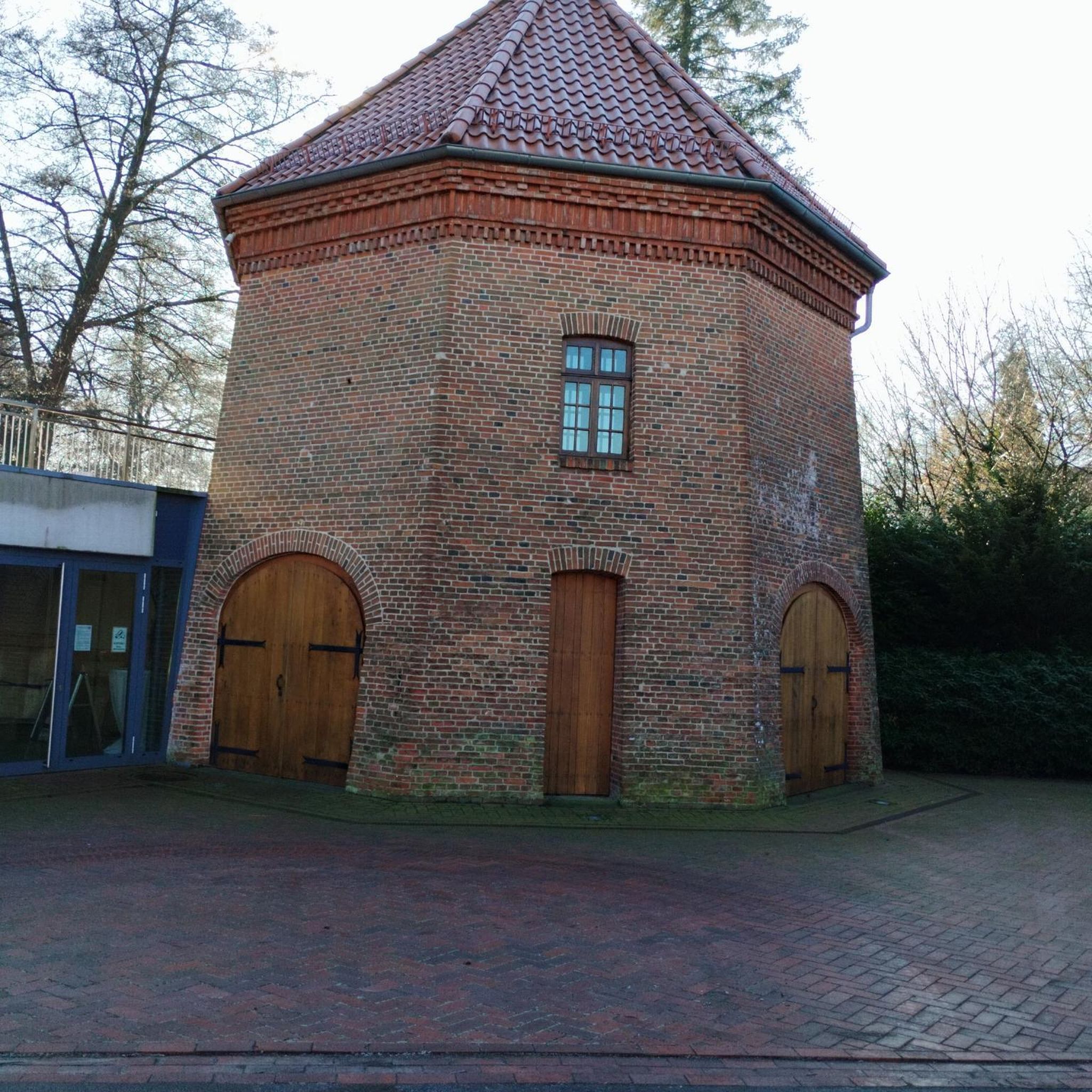
Hikes from bus stations in Verkių Regioninis Parkas
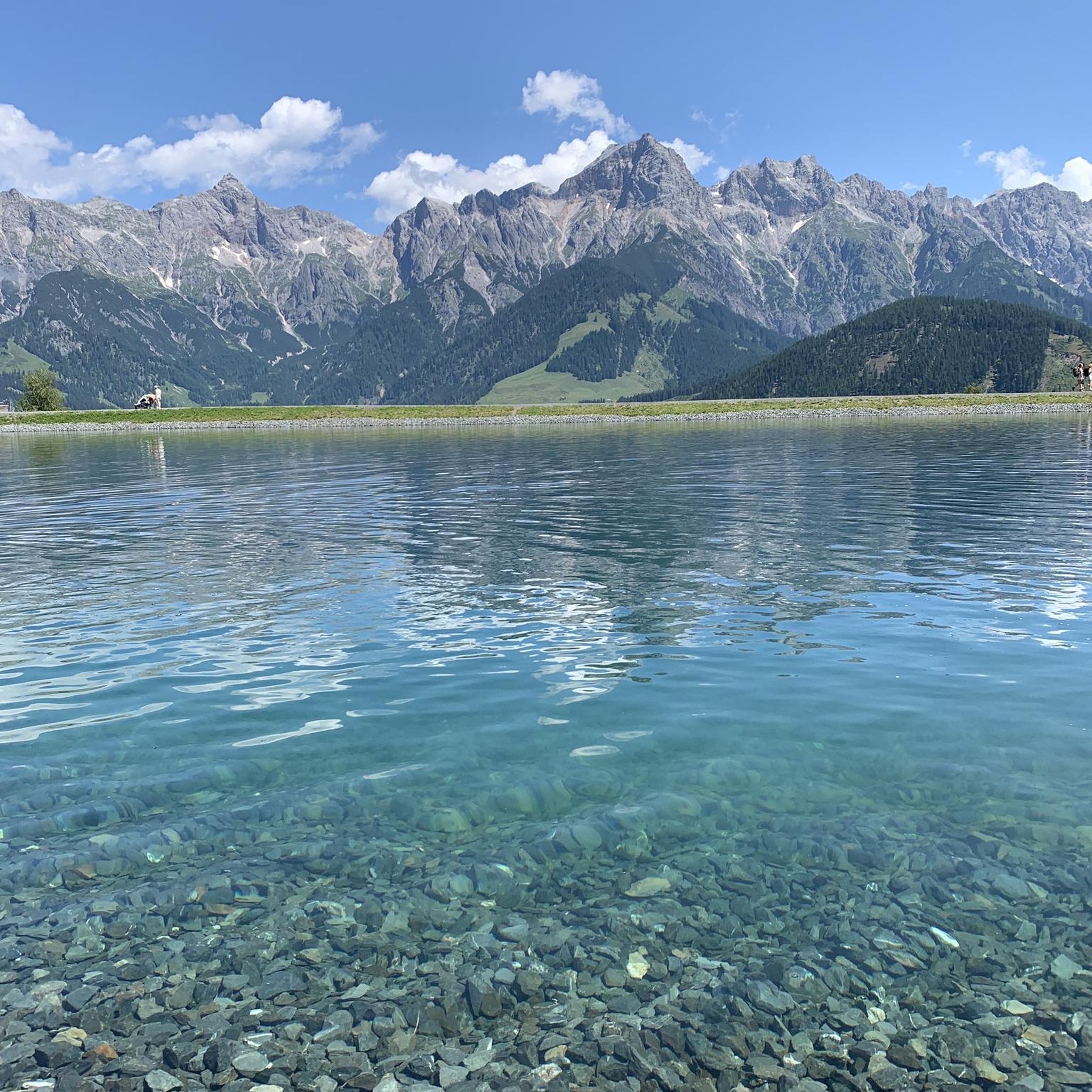
Hikes from bus stations in Račkūnų Miškas
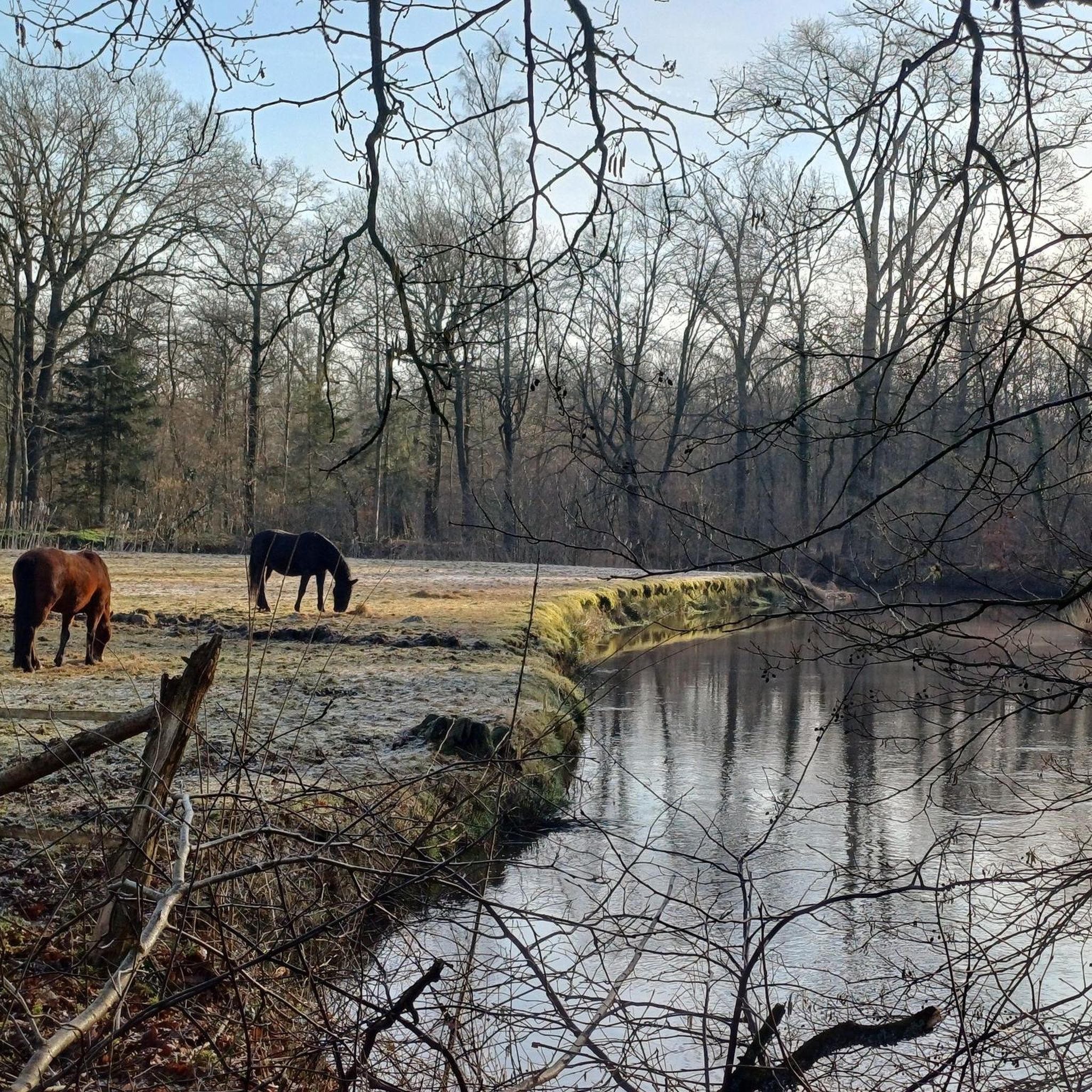
Hikes from bus stations in Varnikų Miškas
Hikes from bus stations in Naujojo Lentvario Botaninis Draustinis

Hikes from bus stations in Vokės Senslėnio Šlaitų Geomorfologinis Draustinis

Hikes from bus stations around Griovių geomorfologinis draustinis
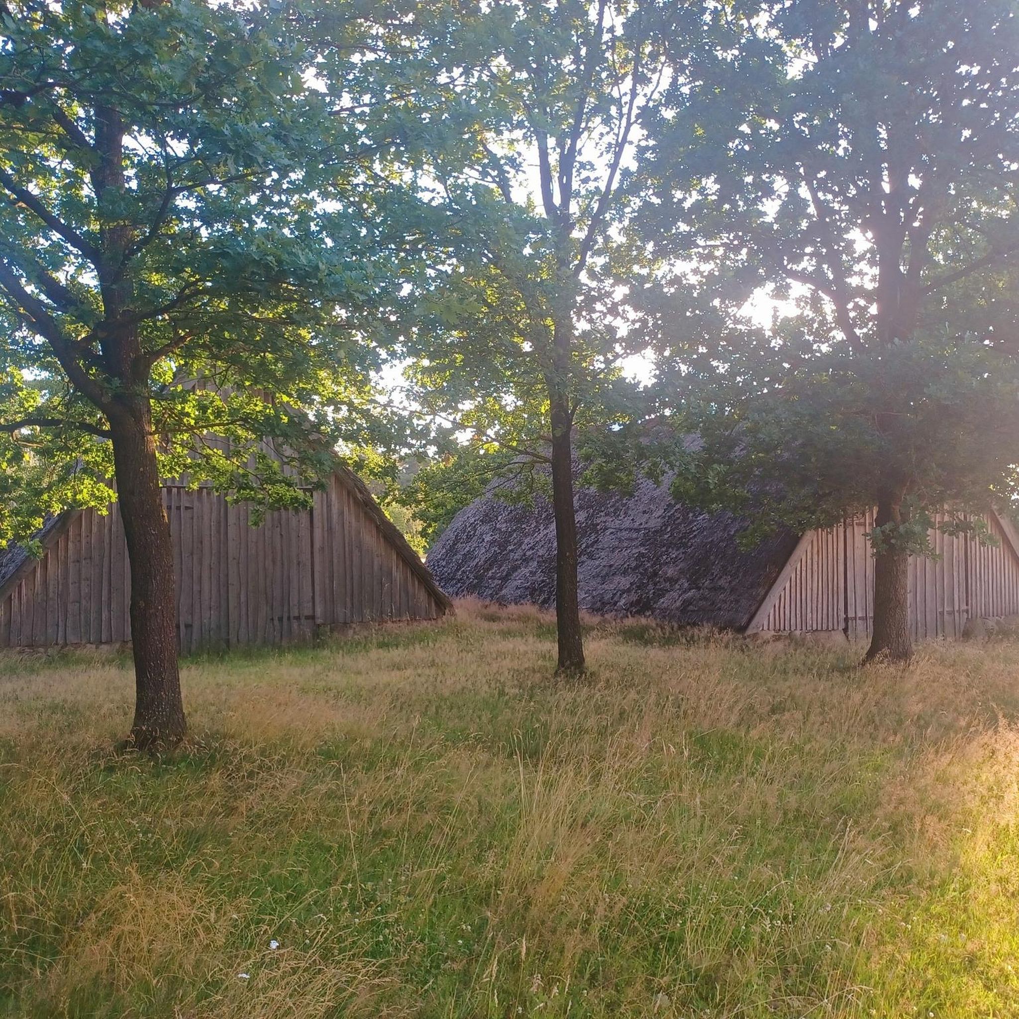
Hikes from bus stations in Vilnios Hidrografinis Draustinis
Hikes from bus stations in Rūdninkų Girios Biosferos Poligonas
Tips from the Community

Užupis is a republic of artists that is sometimes compared to the Parisian district of Montmartre or Christiania in Copenhagen. It is famous for its own anthem, its constitution (which can be read at the beginning of Paupis street on the fence), its president, its bishop, one of the oldest cemeteries, the Bernardine Cemetery of Vilnius, two churches, and the bronze Angel of Užupis that crowns it all. This is one of the oldest districts of Vilnius and is already mentioned in historical sources in the 16th century. In ancient times, numerous mills flourished here; it was a poor suburb where mainly artisans lived, and once there was a red-light district nearby.
2
0
Unfortunately currently cordoned off and under renovation.
5
0
St. Anna is only original on the outside. Inside, Napoleon destroyed a lot. Nothing is original anymore.
3
0

Beautiful, wobbly suspension bridge. over the Vilna.
0
0

The Church of Saint Anne is a masterpiece of the late Gothic period. It is surrounded by many legends. The most famous one says that Napoleon Bonaparte, after seeing this beauty, would have liked to carry the Church of Saint Anne on his palm to Paris.
2
0

A must when you are there
0
0

Beautiful Gothic church from 1500. Right next door is the Church of St. Francis of Assisi.
2
0
Vilnius Cathedral was built in 1779.
3
1
Frequently Asked Questions
How many bus-accessible hiking trails are available in Vilnius County?
Vilnius County offers a wide array of hiking opportunities accessible by bus, with over 700 routes available. These trails cater to various preferences, from easy strolls to more challenging excursions through diverse landscapes.
Are there easy hiking routes accessible by bus for beginners or casual walkers?
Yes, Vilnius County has numerous easy bus-accessible trails perfect for beginners or those seeking a relaxed walk. For instance, the View of Liepkalnis and Rasos – Ribiškės Nature Trail loop from Rasos eldership is an easy 5.8 km loop that offers scenic views without significant elevation changes. Many trails within urban parks like Vingis Park or sections of Pavilniai Regional Park are also easily reachable by public transport and suitable for all skill levels.
Can I find circular hiking routes that start and end at a bus station?
Absolutely. Many bus-accessible trails in Vilnius County are designed as loops, allowing you to start and finish at the same point, often conveniently located near a bus stop. An example is the Danosai Burial Mounds – Strėva Sinkhole loop from Strėva, which offers a moderate 9 km circular hike.
What kind of terrain can I expect on bus-accessible trails in Vilnius County?
The terrain varies significantly across Vilnius County. You can expect a mix of extensive forests, tranquil lake shores, and picturesque river valleys. Trails often feature gentle slopes, but some areas, particularly within Neris Regional Park or the Medininkai highlands, might include more challenging ascents and descents, such as the hilly terrain along the Dukta stream. Many paths are well-maintained, while others offer a more natural, unpaved experience.
Are there family-friendly hiking trails accessible by bus?
Yes, many bus-accessible trails are suitable for families. The region's numerous parks and natural areas offer shorter, less strenuous options. The Dukta Oak Forest Trail in Neris Regional Park, for example, is a flat 2 km path perfect for families. Urban parks like Vingis Park and Bernardine Garden also provide easy, accessible walks with amenities.
Can I bring my dog on these bus-accessible trails?
Generally, dogs are welcome on most hiking trails in Vilnius County, provided they are kept on a leash and owners clean up after them. Specific rules may apply in certain protected areas or nature reserves, so it's always best to check local signage. Public transport regulations for pets should also be considered when planning your trip.
What natural features can I explore on bus-accessible hikes in Vilnius County?
Bus-accessible hikes in Vilnius County offer a chance to explore diverse natural features. You can discover ancient forests, winding river valleys like the Neris, and numerous lakes such as the Green Lakes (Žalieji Ežerai) or Lake Gėla. Highlights include the unique Strėva Sinkhole, impressive outcrops along the Neris River, and the scenic Vilnia River Valley within Pavilniai Regional Park.
Are there any historical or cultural landmarks near bus-accessible hiking routes?
Many trails in Vilnius County seamlessly blend natural beauty with historical and cultural sites. You can find ancient hillforts, traditional villages, and unique attractions. For example, the Three Crosses Monument is accessible via a short forest walk and offers stunning views. The Pūčkoriai Educational Trail passes by the Pūčkoriai hillfort, and the Naujoji Vilnia Burial Mounds and Ancient Carved Stones are also points of interest along certain routes.
When is the best time of year to hike these bus-accessible trails?
Vilnius County offers beautiful hiking experiences throughout the year. Spring (April-May) brings blooming flora, while summer (June-August) is ideal for warmer weather and longer daylight hours. Autumn (September-October) is particularly scenic with vibrant fall foliage. Even winter (November-March) offers unique opportunities for serene, snow-covered walks, especially on well-maintained paths.
What do other hikers enjoy most about hiking in Vilnius County?
The hiking trails in Vilnius County are highly rated by the komoot community, with an average score of 4.66 stars. Reviewers often praise the region's diverse and easily accessible natural landscapes, the tranquility of its forests and lakes, and the well-maintained paths that make exploring a pleasure. The blend of nature with historical sites is also frequently highlighted as a unique aspect of the experience.
Are there any challenging bus-accessible hikes for experienced hikers?
Yes, for those seeking a more challenging experience, Vilnius County offers several bus-accessible routes with greater distances and elevation changes. The Lake Alsas – Main Beach of Lake Balsis loop from Verkiai is a difficult 19.2 km hike with significant elevation, providing a good workout. The Dukta Trail in Neris Regional Park, known for its hilly terrain, also offers a more demanding option.
Can I explore urban hiking routes accessible by bus in Vilnius?
Absolutely. Even within the city of Vilnius, extensive green spaces are easily reachable by bus. Routes like the Vilnius Town Hall Square – Užupis District loop from Vilnius or the Uzupis Bridge – Užupis District loop from Vilnius offer a blend of urban exploration and natural beauty, passing through charming districts and green areas. Pavilniai Regional Park, located within the city, also provides numerous scenic trails.
Most popular routes in Vilnius County
Most popular attractions in Vilnius County

Get inspired with the komoot mobile app


Didn’t find what you were looking for?
Check out more Hikes throughout Vilnius County below and find the perfect route in your destination.
Explore more
Browse the best Hikes in other regions.
