The best road cycling routes around Ludwigshöhe
4.5
(272)
4,092
riders
135
rides
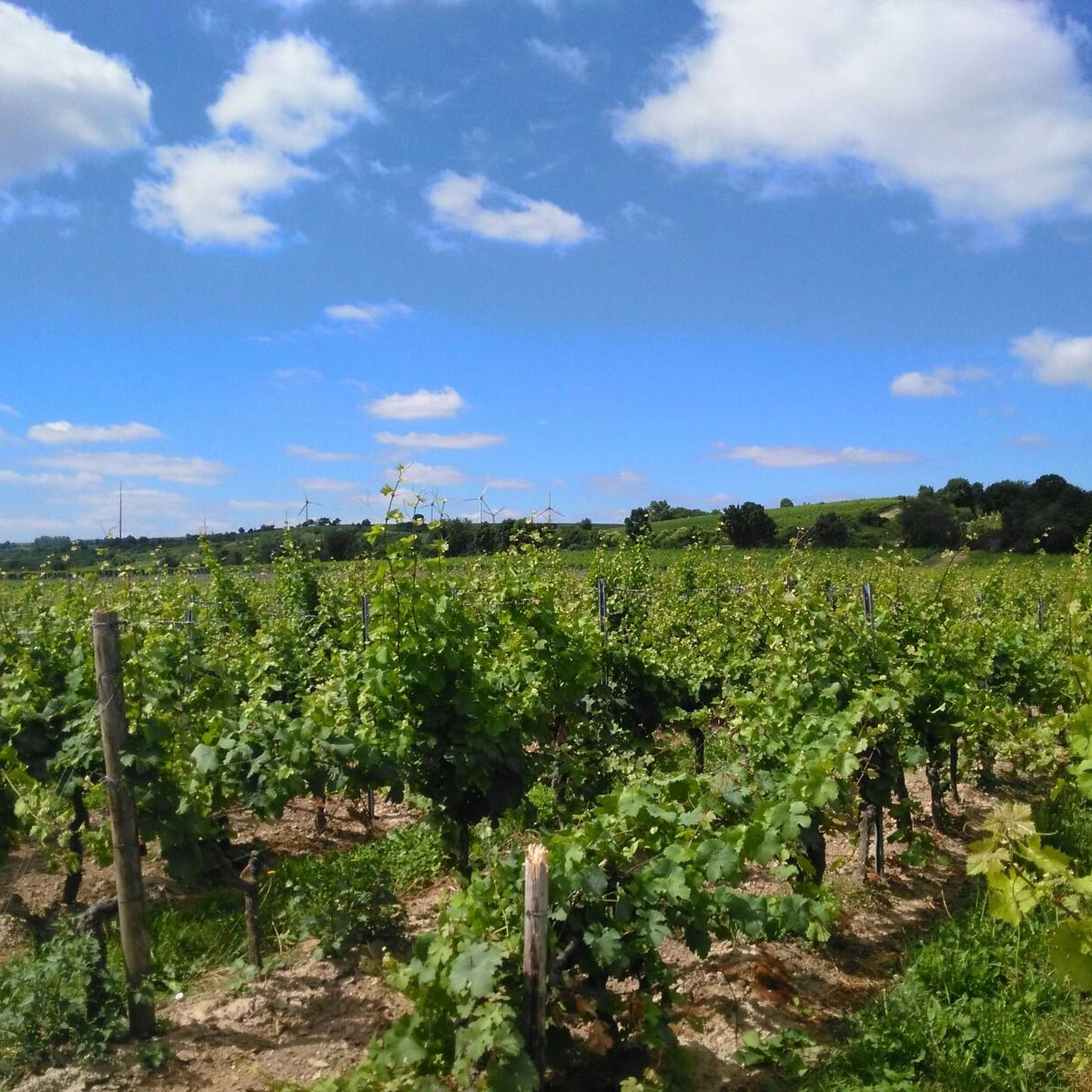
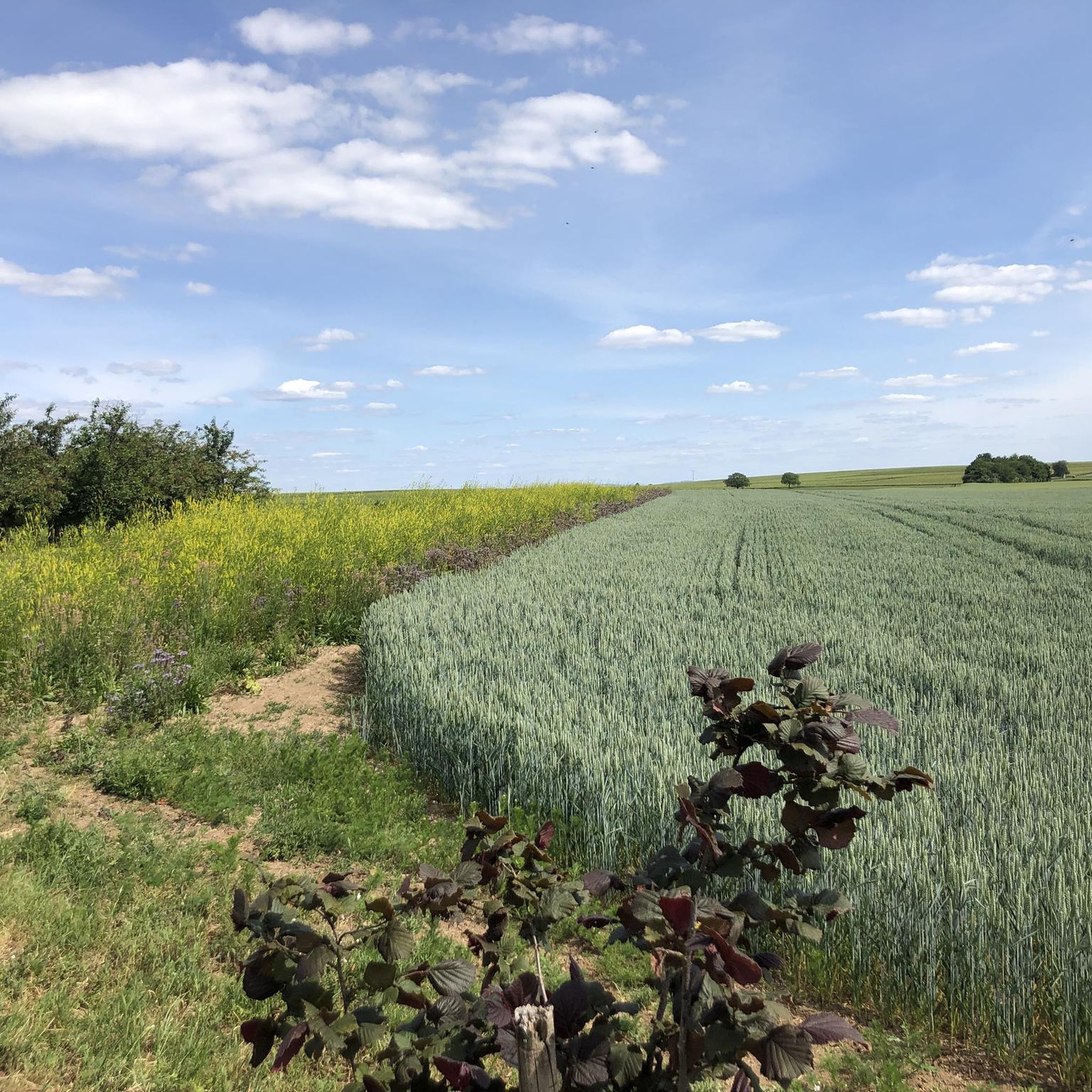
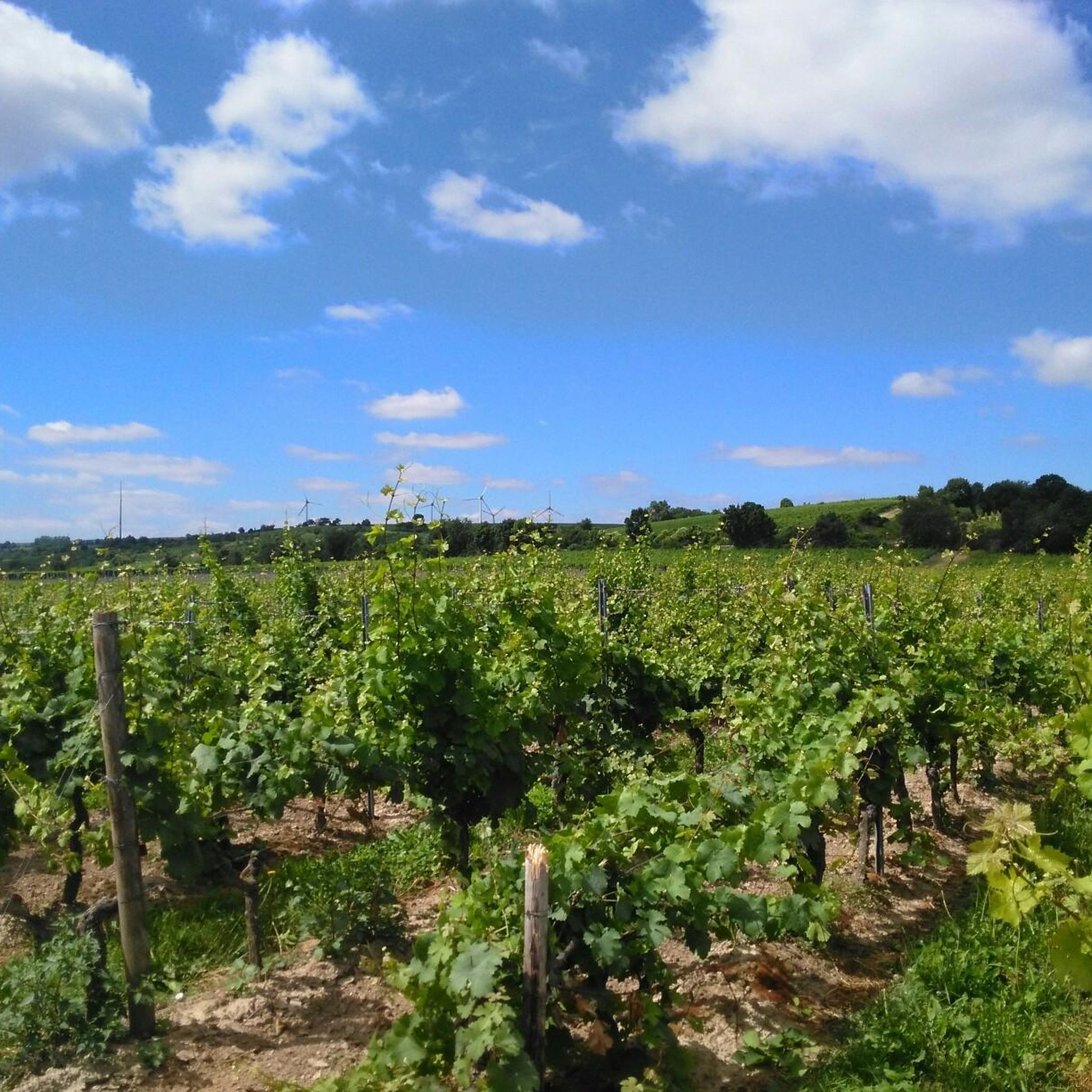
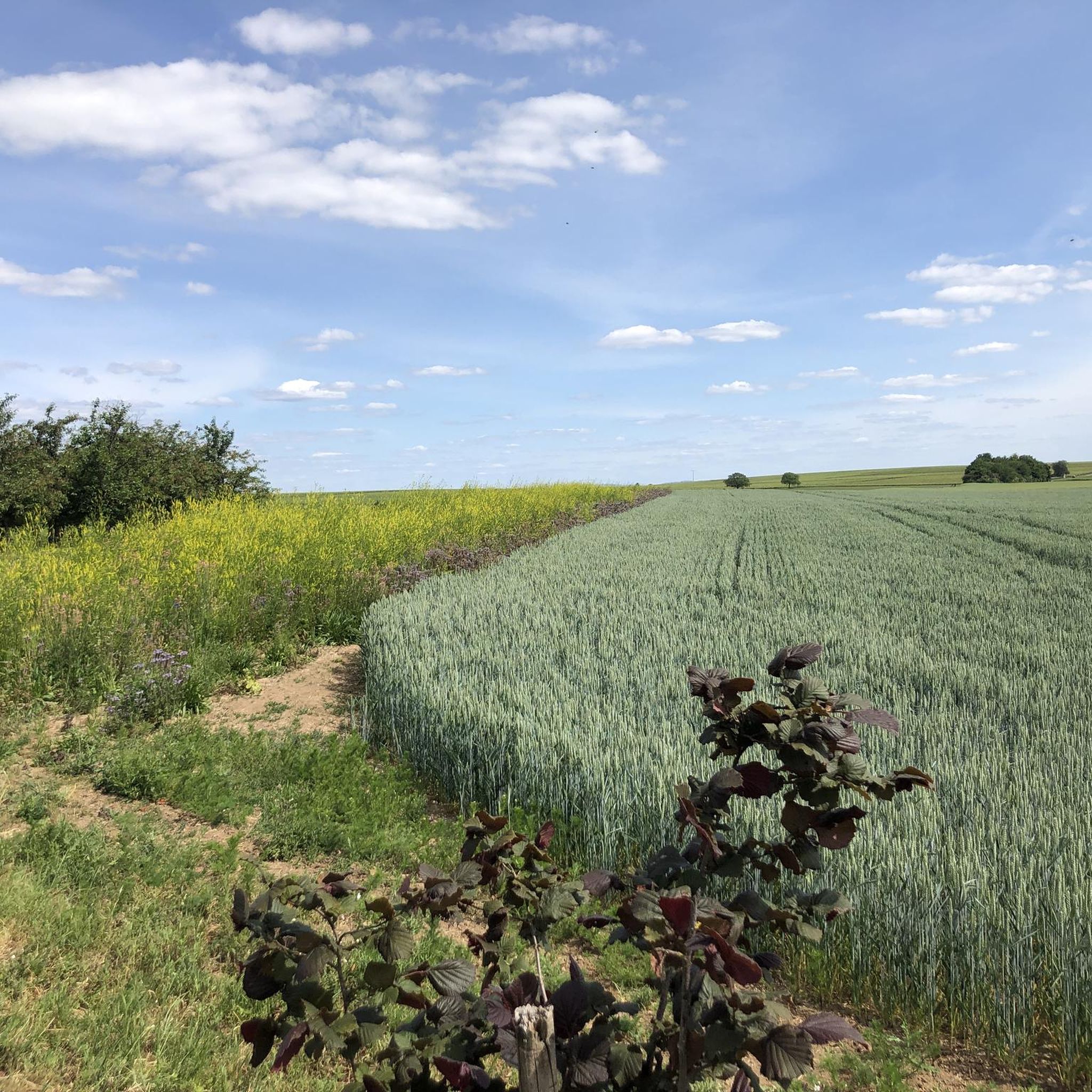
Road cycling routes around Ludwigshöhe traverse a diverse landscape characterized by the Rhine River, extensive vineyards, and the rolling hills of the Palatinate Forest. The region offers a mix of flat riverside paths and more challenging routes with notable elevation gains. Road cyclists can explore well-paved surfaces that wind through natural areas and past cultural landmarks.
Best road cycling routes around Ludwigshöhe
- The most popular road cycling route is Rhine Cycle Path at Fischsee – Rheindürkheim Rhine Promenade loop from Dienheim, a 33.7 miles (54.3 km) trail that takes 2 hours 15 minutes to complete. This route follows the Rhine River, offering scenic views with minimal elevation gain.
- Another top favourite among local road cyclists is Osthofen Concentration Camp Memorial – View of Mettenheim loop from Guntersblum, a moderate 24.6 miles (39.5 km) path. This route features a mix of open landscapes and historical points of interest, with gentle gradients.
- Local road cyclists also love the Gundheim Church – Zellertal Memorial loop from Dienheim, a 52.1 miles (83.8 km) trail leading through varied terrain with significant elevation gain, often completed in about 3 hours 46 minutes.
- Road cycling around Ludwigshöhe is defined by river paths, vineyard landscapes, and the hilly sections of the Palatinate Forest. The network offers options for different ability levels, from leisurely rides to routes with challenging climbs.
- The routes in Ludwigshöhe are highly rated by the komoot community with an average score of 4.6 stars from over 250 reviews. More than 4000 road cyclists have used komoot to explore Ludwigshöhe's varied terrain.
Last updated: July 1, 2026
4.9
(22)
364
riders
Moderate road ride. Good fitness required. Some segments of this route may be unpaved and difficult to ride.
4.8
(5)
87
riders
Moderate road ride. Great for any fitness level. Some segments of this route may be unpaved and difficult to ride.

Sign up for free
39
riders
83.8km
03:46
830m
830m
Moderate road ride. Good fitness required. Mostly well-paved surfaces and easy to ride.
4.7
(6)
26
riders
16.8km
00:44
40m
40m
Moderate road ride. Great for any fitness level. Some segments of this route may be unpaved and difficult to ride.
4.5
(2)
15
riders
Moderate road ride. Good fitness required. Some segments of this route may be unpaved and difficult to ride.
Get access to more routes and recommendations from other explorers.
Sign up for free
Already have an account?
Our route recommendations are based on thousands of hikes, rides, and runs completed by other people on komoot.
Start today with a free account
Your next adventure awaits.
Login or Signup

Tips from the Community

Very beautiful old building
0
0
Always makes sense on a bike path
0
0
Great bike path if there is no headwind
0
0
great place to look at the Rhine
0
0

With a total length of around 1,233 kilometers, the Rhine is one of the longest, most historically significant, and economically important rivers in Europe. The river originates in the Swiss Alps, where it is formed from the two headwaters, the Vorder- and Hinterrhein. After flowing through Lake Constance, it plunges down at the Rhine Falls near Schaffhausen and then, as the High Rhine, forms the border between Switzerland and Germany. Further on, as the Upper Rhine, it flows through the Upper Rhine Plain past major cities such as Karlsruhe and Ludwigshafen, as well as directly past the region of Mainz and Wiesbaden. In this area, the river makes a sharp turn west at the so-called "Rhine Knee" (Rheinknie) before reaching the spectacular Middle Rhine. This section between Bingen and Koblenz – known as the Upper Middle Rhine Valley (Obere Mittelrheintal) – has been protected as a UNESCO World Heritage site since 2002 due to its density of castles, historic vineyards, and the legend of the Loreley rock. Via the Lower Rhine (Niederrhein) and the metropolitan regions of Cologne and Düsseldorf, the Rhine finally continues into the Netherlands. There it divides into a widely branched delta and finally flows into the North Sea near Rotterdam. As an international waterway, the Rhine is the logistical backbone of Western Europe. It connects major industrial centers and seaports directly with the hinterland, and is used annually by tens of thousands of cargo ships for the transport of coal, ores, containers, and chemical goods. In addition to its industrial function, the Rhine Valley serves as a lifeline for tourism, as a rich source of energy through hydropower plants, and as a valuable natural and recreational area for millions of people.
8
0
Today's Theodor Heuss Bridge connects the Rhineland-Palatinate state capital Mainz with the Mainz-Kastel district of the Hessian state capital Wiesbaden across the Rhine.
19
0
Frequently Asked Questions
What kind of terrain can I expect on road cycling routes near Ludwigshöhe?
The region around Ludwigshöhe offers a diverse road cycling experience. You'll find flat, scenic paths along the Rhine River, extensive vineyard landscapes, and more challenging, hilly sections in areas like the Palatinate Forest. This variety allows for both leisurely rides and tours with significant elevation gains.
How many road cycling routes are available around Ludwigshöhe?
There are over 140 road cycling routes around Ludwigshöhe, catering to various skill levels. These routes have been explored by more than 4000 road cyclists using komoot.
What are the difficulty levels of road cycling routes in Ludwigshöhe?
The routes around Ludwigshöhe range from easy to difficult. Approximately 47 routes are considered easy, 79 are moderate, and 14 offer a more challenging experience with significant climbs, particularly in the hilly landscapes near the Palatinate Forest.
Are there any circular road cycling routes in the Ludwigshöhe area?
Yes, many road cycling routes around Ludwigshöhe are designed as loops. For example, the Roadbike loop from Oppenheim offers a moderate ride, while the Rhine Cycle Path at Fischsee – Rheindürkheim Rhine Promenade loop from Dienheim provides scenic views along the river.
What natural features or landmarks can I see while road cycling around Ludwigshöhe?
Road cycling routes often pass by significant natural and historical sites. You can explore the picturesque Rhine River, vast vineyards like the Roter Hang, and historical points of interest such as the Landskron Castle Ruins. The region also features the protected Rheinauen (Rhine floodplains) and various viewpoints.
Are there any good viewpoints along the road cycling routes?
Yes, the region offers several excellent viewpoints. You might encounter spots like the Schlappeswörth Birdwatching Platform, the Fockenberg Hut Viewpoint, or the View from Brudersberg – Rheinhessen’s Most Beautiful Wine View, offering panoramic vistas of the Rhine and surrounding landscapes.
When is the best time of year for road cycling in Ludwigshöhe?
The spring and autumn months are particularly pleasant for road cycling in Ludwigshöhe. During these seasons, the weather is generally mild, making it ideal for exploring the diverse landscapes, from riverside paths to vineyard routes.
How can I get to the road cycling routes around Ludwigshöhe using public transport?
While specific public transport connections to every trailhead vary, the region is generally accessible. Major towns like Darmstadt, near Ludwigshöhe, are well-connected by public transport. For detailed information on reaching specific starting points, it's advisable to check local public transport schedules for the towns closest to your chosen route.
Is parking available near the road cycling trailheads?
Parking is generally available in towns and villages that serve as starting points for road cycling routes, such as Oppenheim or Dienheim. Many routes begin near public parking areas, though it's always recommended to check specific route details for designated parking facilities.
What do other road cyclists enjoy the most about road cycling in Ludwigshöhe?
The road cycling experience in Ludwigshöhe is highly rated by the komoot community, with an average score of 4.6 stars from over 250 reviews. Cyclists often praise the diverse terrain, from flat riverside paths to challenging vineyard climbs, and the scenic views of the Rhine and surrounding landscapes.
Are there family-friendly road cycling routes in Ludwigshöhe?
Yes, the region offers several family-friendly road cycling options, particularly along the flatter sections of the Rhine River. These routes often feature well-paved surfaces and minimal elevation, making them suitable for cyclists of all ages. The Rhine Cycle Path at Fischsee – Rheindürkheim Rhine Promenade loop from Dienheim is an example of a route with minimal elevation gain.
Are there challenging climbs for experienced road cyclists?
For experienced road cyclists seeking a challenge, the hilly landscapes, particularly those bordering the Palatinate Forest, offer demanding routes with significant elevation gains. The Gundheim Church – Zellertal Memorial loop from Dienheim, for instance, features over 800 meters of ascent, providing a rigorous workout.
Most popular routes around Ludwigshöhe
Most popular attractions around Ludwigshöhe

Get inspired with the komoot mobile app


Explore more
Browse the best Road cycling routes in other regions.
