The best hikes from bus stations in Bezirk Oberpullendorf
4.6
(2036)
10,080
hikers
167
hikes
Bus station hiking trails in Bezirk Oberpullendorf traverse a landscape characterized by rolling hills, expansive forests, and picturesque valleys within Austria's Burgenland region. The terrain offers varied options for hikers, ranging from gentle paths through vineyards to more challenging routes in nature parks. Key features include the Geschriebenstein, the highest point in Burgenland, and the diverse ecosystems of the Rosalia-Kogelberg Nature Park. The region's well-maintained trail networks provide access to natural and historical landmarks.
Best bus station hiking trails in Bezirk Oberpullendorf
- The most popular bus station hiking route is M63 Waldquelle Kraftquellenweg – Von Kobersdorf nach Landsee durch den Naturpark Landseer Berge, a 8.5 miles (13.8 km) trail that takes 4 hours 3 minutes to complete. This moderate route connects Kobersdorf and Landsee, passing through the Landseer Berge Nature Park.
- Another top favourite among local hikers is Hétforrás (Seven Springs) – Óház Peak loop from Liebing, a moderate 9.1 miles (14.7 km) path. This loop from Liebing explores the area around Seven Springs and Óház Peak, offering varied forest and hill terrain.
- Local hikers also love the Ruins of Landsee Castle – Landsee Castle Ruins loop from Naturpark Landseer Berge, a 6.5 miles (10.5 km) trail leading through the Naturpark Landseer Berge, often completed in about 3 hours 2 minutes.
- Hiking in Bezirk Oberpullendorf is defined by rolling hills, extensive oak-hornbeam forests, and scenic vineyard paths. The region's network of 175 routes offers options for various ability levels, from easy strolls to more challenging ascents.
- The routes in Bezirk Oberpullendorf are highly rated by the komoot community with an average score of 4.6 stars from more than 1,700 reviews. More than 9,000 hikers have used komoot to explore Bezirk Oberpullendorf's varied terrain.
Last updated: October 1, 2026
4.5
(6)
25
hikers
Moderate hike. Good fitness required. Easily-accessible paths. Suitable for all skill levels.
4.5
(19)
60
hikers
15.3km
04:29
400m
400m
Moderate hike. Good fitness required. Easily-accessible paths. Suitable for all skill levels.

4.6
(50)
446
hikers
Easy hike. Great for any fitness level. Easily-accessible paths. Suitable for all skill levels.
4.9
(21)
48
hikers
Moderate hike. Good fitness required. Easily-accessible paths. Suitable for all skill levels.
4.9
(21)
48
hikers
Moderate hike. Good fitness required. Easily-accessible paths. Suitable for all skill levels.
Get access to more routes and recommendations from other explorers.
Already have an account?
Our route recommendations are based on thousands of hikes, rides, and runs completed by other people on komoot.
Start today with a free account
Your next adventure awaits.
Popular around Bezirk Oberpullendorf
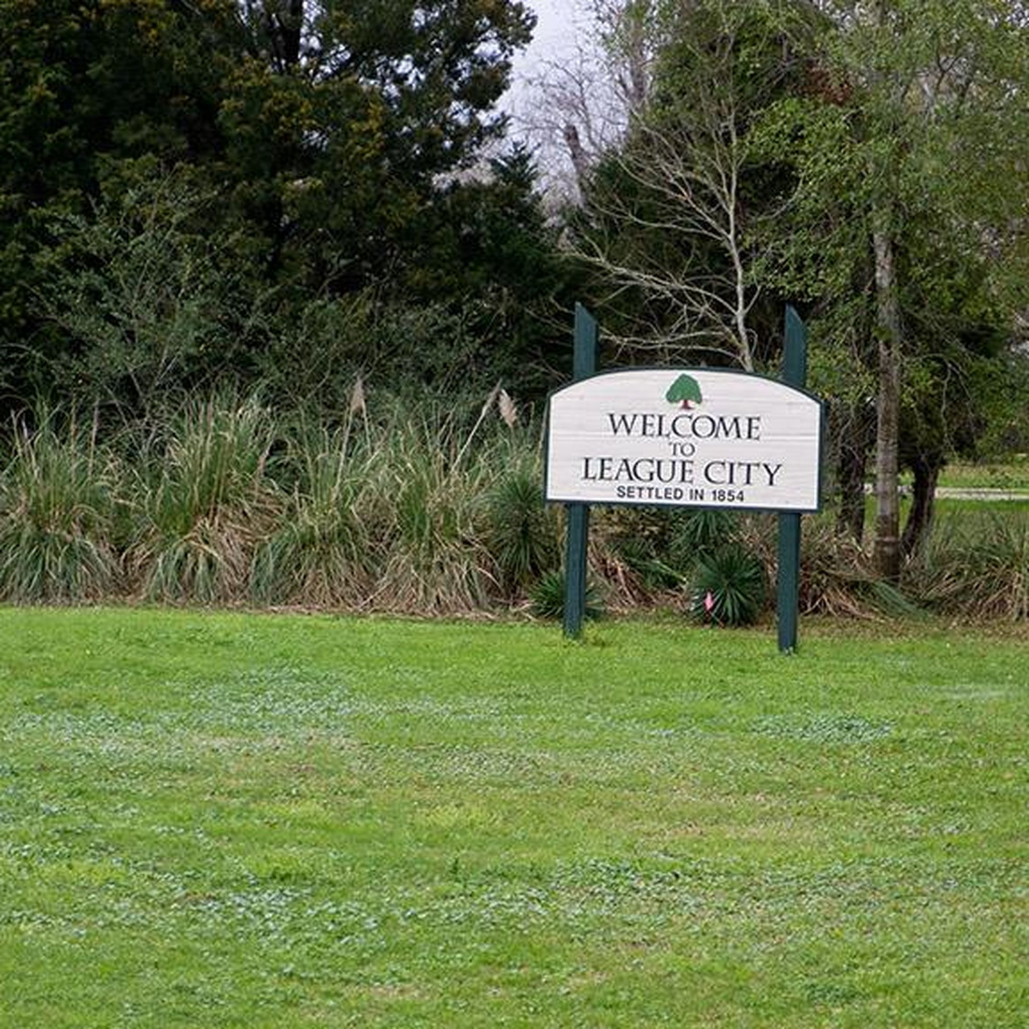
Hikes from bus stations in Geschriebenstein

Hikes from bus stations in Rote Erde
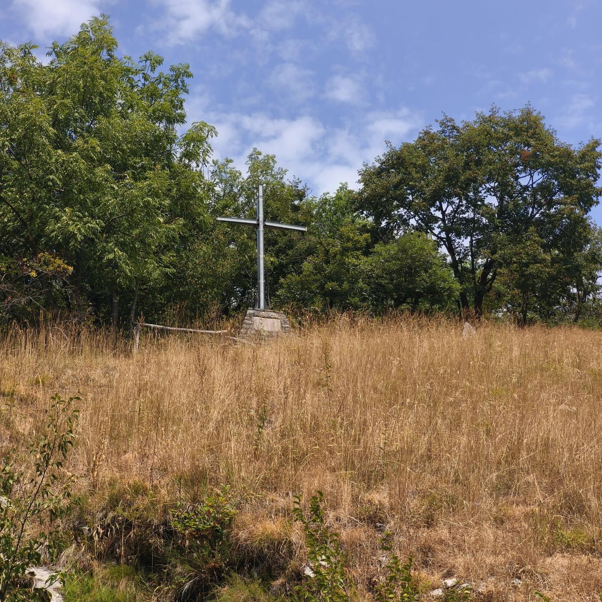
Hikes from bus stations in Naturpark Landseer Berge
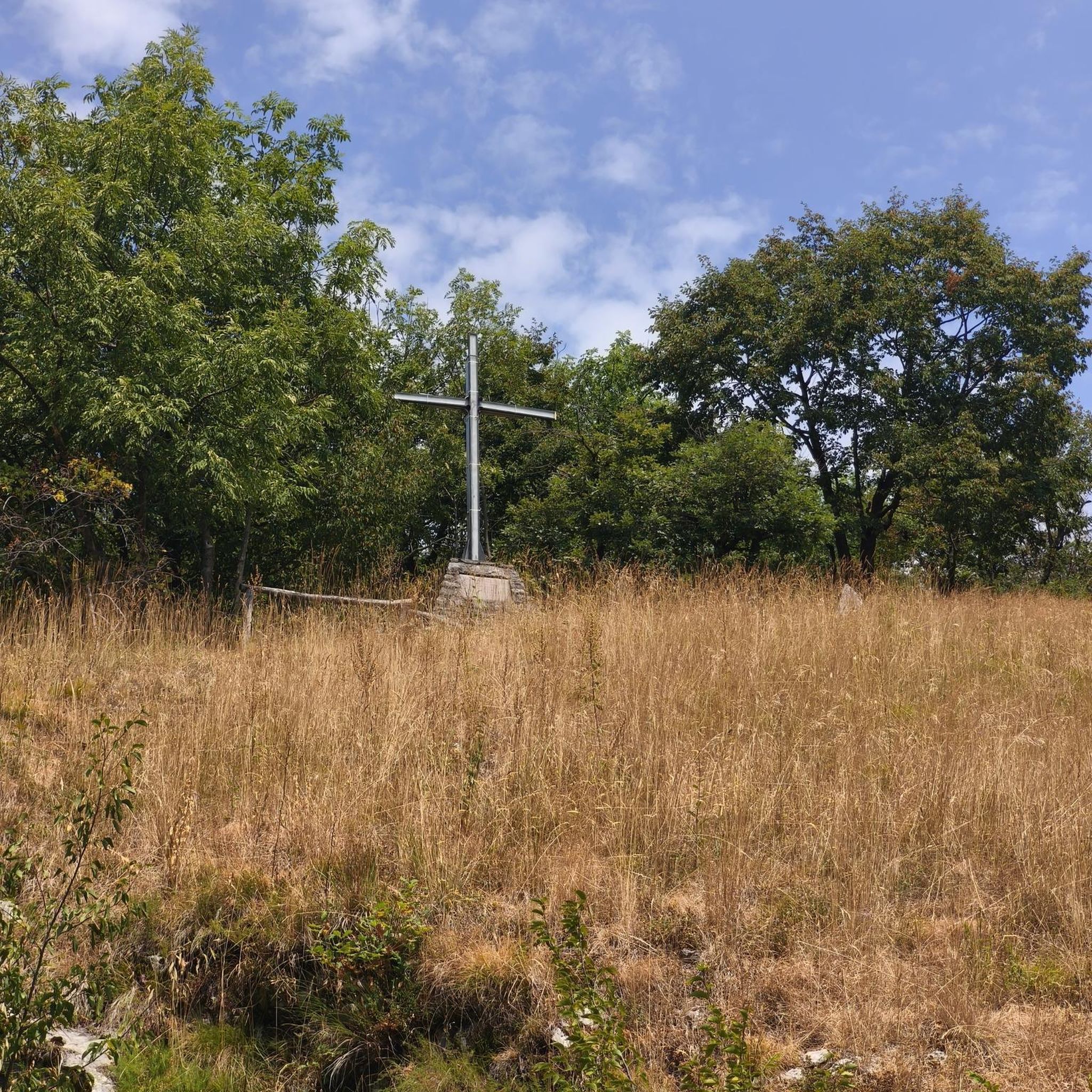
Hikes from bus stations in Urbarialwald
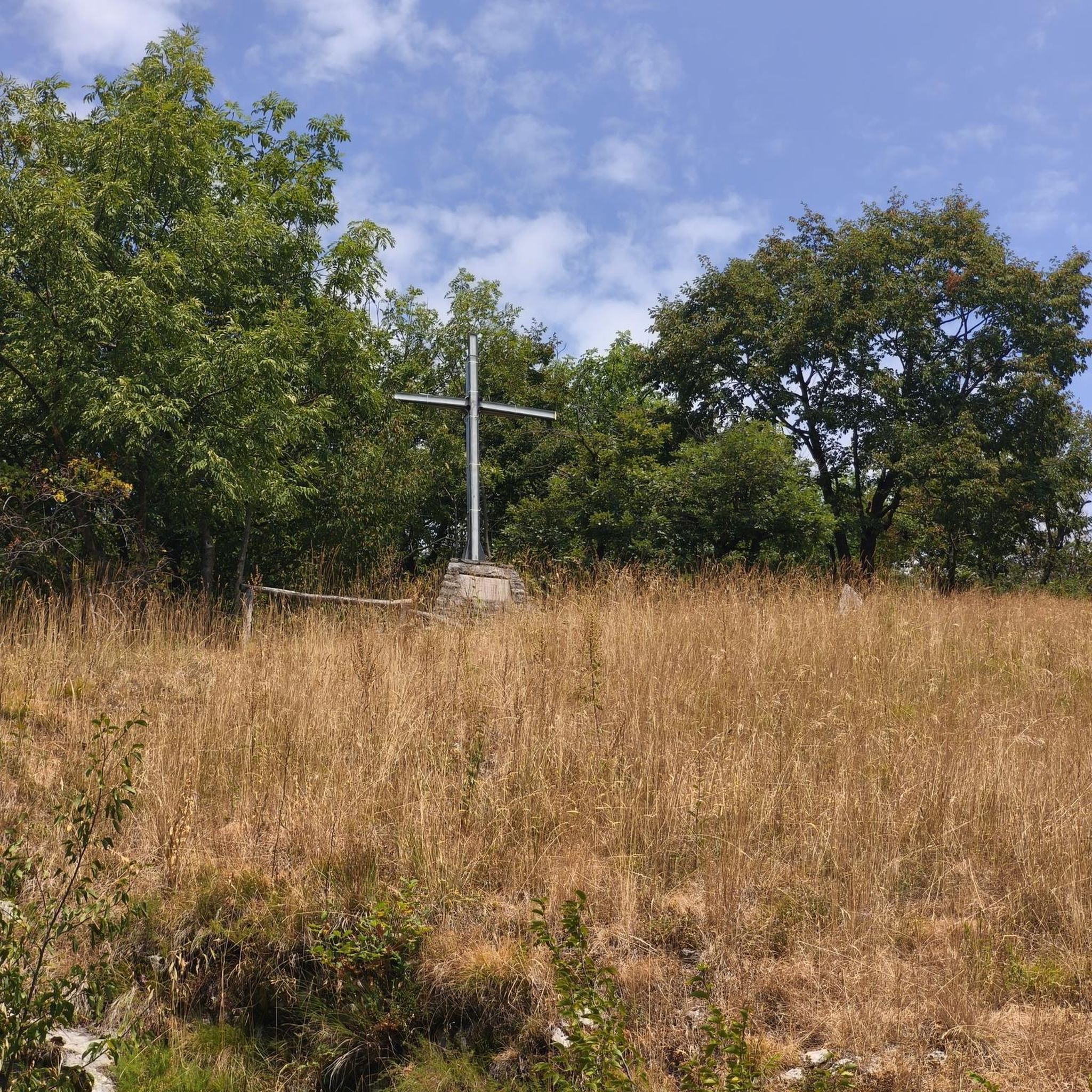
Hikes from bus stations around Markt Sankt Martin
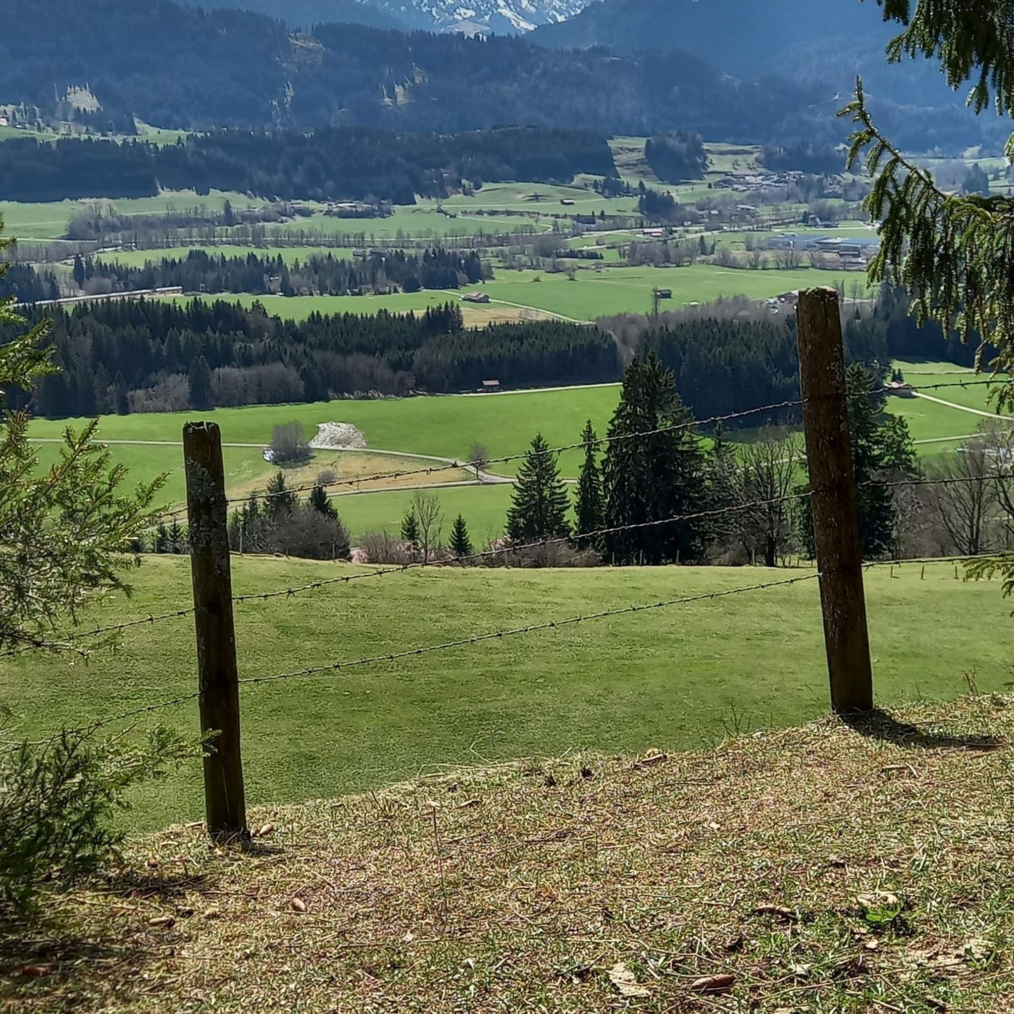
Hikes from bus stations around Kobersdorf

Hikes from bus stations around Lockenhaus
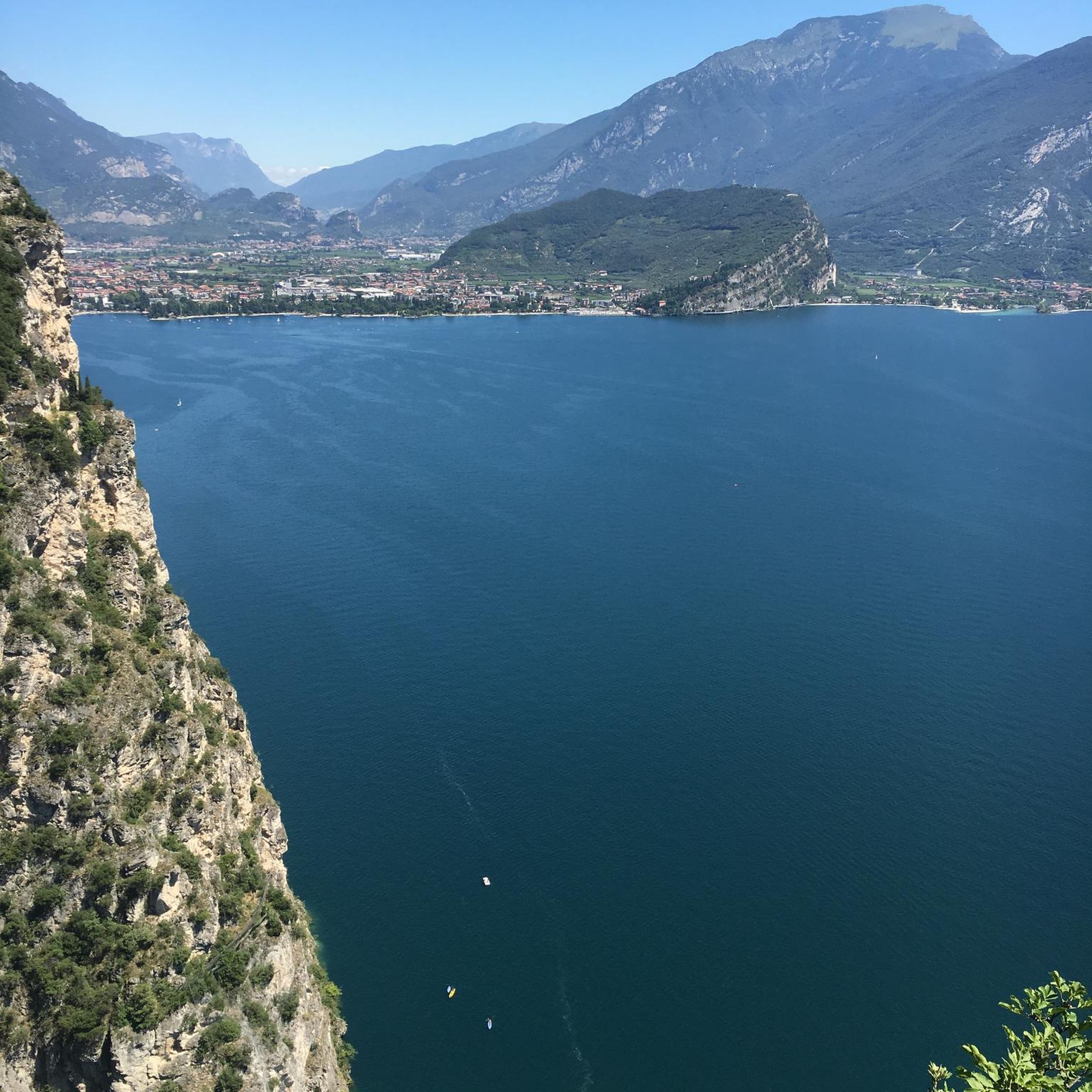
Hikes from bus stations in Äußerer Wald
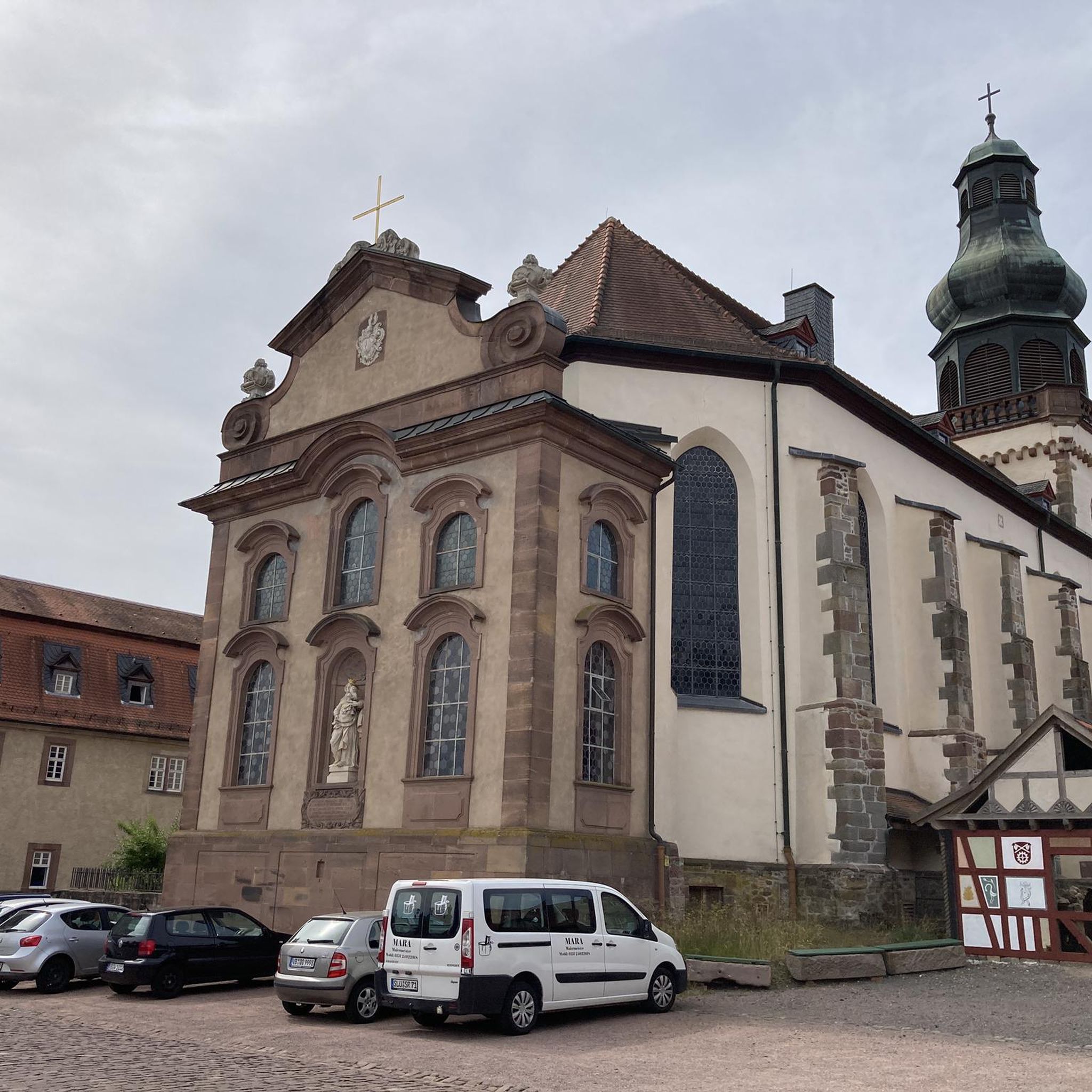
Hikes from bus stations in Nikitscher Wald

Hikes from bus stations in Herrschaftswald
Other adventures in Bezirk Oberpullendorf


Tips from the Community

Beautiful to look at from the outside and from the inside
3
0

The modern summit cross stands a short distance from the highest point of the Geschriebenstein, where the popular viewing tower is enthroned instead. It is made of aluminum, firmly anchored to a rock, and can be reached relaxed during a leisurely hike through the nature park. Incidentally, the border between Austria and Hungary runs directly over this historic border point.
2
0
At the Geschriebenstein Pass summit in the district of Oberpullendorf, the local chapel serves as a well-known and popular starting point for excursions into nature. Directly after the small house of worship, numerous hiking trails and mountain bike trails begin. In addition, the impressive state memorial of Burgenland, which architecturally also resembles a chapel, is located very close by.
1
0
The Geschriebenstein pass height is located at 802 meters above sea level in the Günser Gebirge mountains and connects the towns of Lockenhaus and Rechnitz as a road crossing. At the same time, this crossing serves as a perfect and popular starting point for leisurely hikes and bike tours up to the nearby summit of the Geschriebenstein, which at around 882 to 884 meters represents the highest elevation in Burgenland. Directly on site, the state memorial, designed in 1961, also commemorates the victims of the two world wars.
1
0
The Head Trail directly at the summit of the Geschriebenstein is a brilliant entry-level trail for the whole family and all mountain bike fans. While the upper section with some stones and roots is still a bit more technical, from the middle onwards you roll along absolutely relaxed and child-friendly. The route is perfectly suited for warming up on the highest mountain in Burgenland before venturing into more demanding downhill adventures.
1
0
The Burgenland Trails parking lot Ranch is considered the central main starting point for the popular mountain bike trails around the Geschriebenstein. There you will find plenty of parking spaces for your car, and the official shuttle for bikers also ends there. From this spot, you can start directly into crisp downhill descents like the Rechnitz Trail or head upwards.
1
0

The origin of the Landsee ruin cannot be determined at present, but it was first mentioned in the tradition book of the Göttweig Abbey in 1158. Children and parents can still recognize the imposing fortification in this castle ruin today.
0
0
Documented as early as the 13th century, it experienced turbulent times as a Hungarian border fortress before being expanded to its characteristic form in the 16th and 17th centuries: Striking round towers with mighty conical roofs define its exterior today. In addition to the well-known festivals, the castle is also a venue for concerts, exhibitions, and seminars. Parts of the castle, along with the garden, can be rented for conferences, celebrations, and weddings. Guided tours are also possible by appointment.
0
0
Frequently Asked Questions
How many bus-accessible hiking trails are available in Bezirk Oberpullendorf?
Bezirk Oberpullendorf offers a wide selection of bus-accessible hiking trails, with over 170 routes available. These trails cater to various preferences, from easy strolls to more challenging hikes.
What kind of landscapes can I expect on these bus-accessible trails?
The trails in Bezirk Oberpullendorf traverse diverse landscapes, including rolling hills, expansive forests, and picturesque valleys. You'll find routes through the Naturpark Landseer Berge, as well as areas characterized by vineyards, dry grasslands, and unique flora, particularly within the Geschriebenstein-Írottkő and Rosalia-Kogelberg Nature Parks.
Are there easy hiking options accessible by bus for beginners or casual walkers?
Yes, there are many easy options. Approximately 68 of the bus-accessible routes are classified as easy. An example is the Geschriebenstein Pass summit loop from Geschriebenstein / Írott-kő, which offers a gentle walk with scenic views.
Can I find trails that lead to interesting historical sites or castles?
Absolutely. Several bus-accessible trails offer opportunities to explore historical landmarks. For instance, you can find routes that pass by Kobersdorf Castle or the impressive Ruins of Landsee Castle. The region also features Lockenhaus Castle, a historic knight's castle.
Are there any circular routes accessible from bus stops?
Yes, many of the trails are designed as circular routes, allowing you to start and end your hike at the same bus stop. The Ruins of Landsee Castle – Landsee Castle Ruins loop from Naturpark Landseer Berge is a great example of a moderate circular hike.
What is the best time of year to go hiking from bus stations in Bezirk Oberpullendorf?
The best seasons for hiking in Bezirk Oberpullendorf are typically spring and autumn. During these times, the weather is mild, and nature displays vibrant colors, making for a particularly enjoyable experience on the trails.
Are there any trails that offer panoramic views or observation towers?
Yes, the region is known for its scenic viewpoints. The Geschriebenstein Pass summit – Hirschenstein Transmitter loop offers excellent vistas. Additionally, the Margarethenwarte Observation Tower and the lookout tower at the Geschriebenstein summit provide panoramic views stretching from the Alps to the Pannonian region.
Are the bus-accessible hiking trails in Bezirk Oberpullendorf suitable for families with children?
Many trails are family-friendly, especially those in the nature parks. The Geschriebenstein Nature Park, for example, features a 'fairy tale trail' with interactive stations, making it ideal for families. Look for easy to moderate routes for a pleasant family outing.
What do other hikers enjoy most about hiking from bus stations in Bezirk Oberpullendorf?
The area is highly rated by the komoot community, with an average score of 4.6 stars from over 1,700 ratings. Reviewers often praise the well-maintained paths, the diverse natural beauty, and the convenience of accessing trails directly from public transport.
Can I reach the Geschriebenstein-Írottkő Nature Park by bus for hiking?
Yes, the Geschriebenstein-Írottkő Nature Park, home to Burgenland's highest point, is accessible by public transport. You can find bus stops that serve trailheads leading into this cross-border park, which offers over 500 km of marked trails.
Are there any trails that feature unique natural attractions like springs or specific flora?
Indeed. The region boasts unique natural features. The Hétforrás (Seven Springs) – Óház Peak loop from Liebing is one such route. The nature parks also showcase diverse flora, including unique plants like the dittany and various orchid species in Geschriebenstein-Írottkő, and the Hungarian iris in Rosalia-Kogelberg.
Most popular routes in Bezirk Oberpullendorf
Most popular attractions in Bezirk Oberpullendorf

Get inspired with the komoot mobile app


Didn’t find what you were looking for?
Check out more Hikes throughout Bezirk Oberpullendorf below and find the perfect route in your destination.
Explore more
Browse the best Hikes in other regions.
