The best hikes from bus stations in Andelfingen
4.6
(9544)
51,078
hikers
124
hikes
Hiking in Andelfingen offers diverse landscapes within the Zürcher Weinland, characterized by rolling hills, agricultural land, and traditional half-timbered houses. The region is shaped by the Thur River, which flows through the area, and its proximity to the Rhine River and the Rhine Falls. Trails often feature riverside paths, elevated viewpoints, and access to historical landmarks.
Best bus station hiking trails in Andelfingen
- The most popular bus station hiking route is View of Buchberg Church – Eglisau Rhine Bridge loop…
Last updated: May 16, 2026
4.9
(27)
140
hikers
10.2km
02:45
60m
60m
Moderate hike. Good fitness required. Mostly accessible paths. Sure-footedness required.
4.7
(37)
153
hikers
6.94km
01:51
80m
80m
Easy hike. Great for any fitness level. Easily-accessible paths. Suitable for all skill levels.

Sign up for free
4.8
(29)
94
hikers
20.4km
05:32
270m
270m
Hard hike. Very good fitness required. Easily-accessible paths. Suitable for all skill levels.
4.7
(23)
123
hikers
Moderate hike. Good fitness required. Easily-accessible paths. Suitable for all skill levels.
4.3
(18)
105
hikers
Moderate hike. Good fitness required. Easily-accessible paths. Suitable for all skill levels.
Get access to more routes and recommendations from other explorers.
Sign up for free
Already have an account?
Our route recommendations are based on thousands of hikes, rides, and runs completed by other people on komoot.
Start today with a free account
Your next adventure awaits.
Login or Signup
Popular around Andelfingen
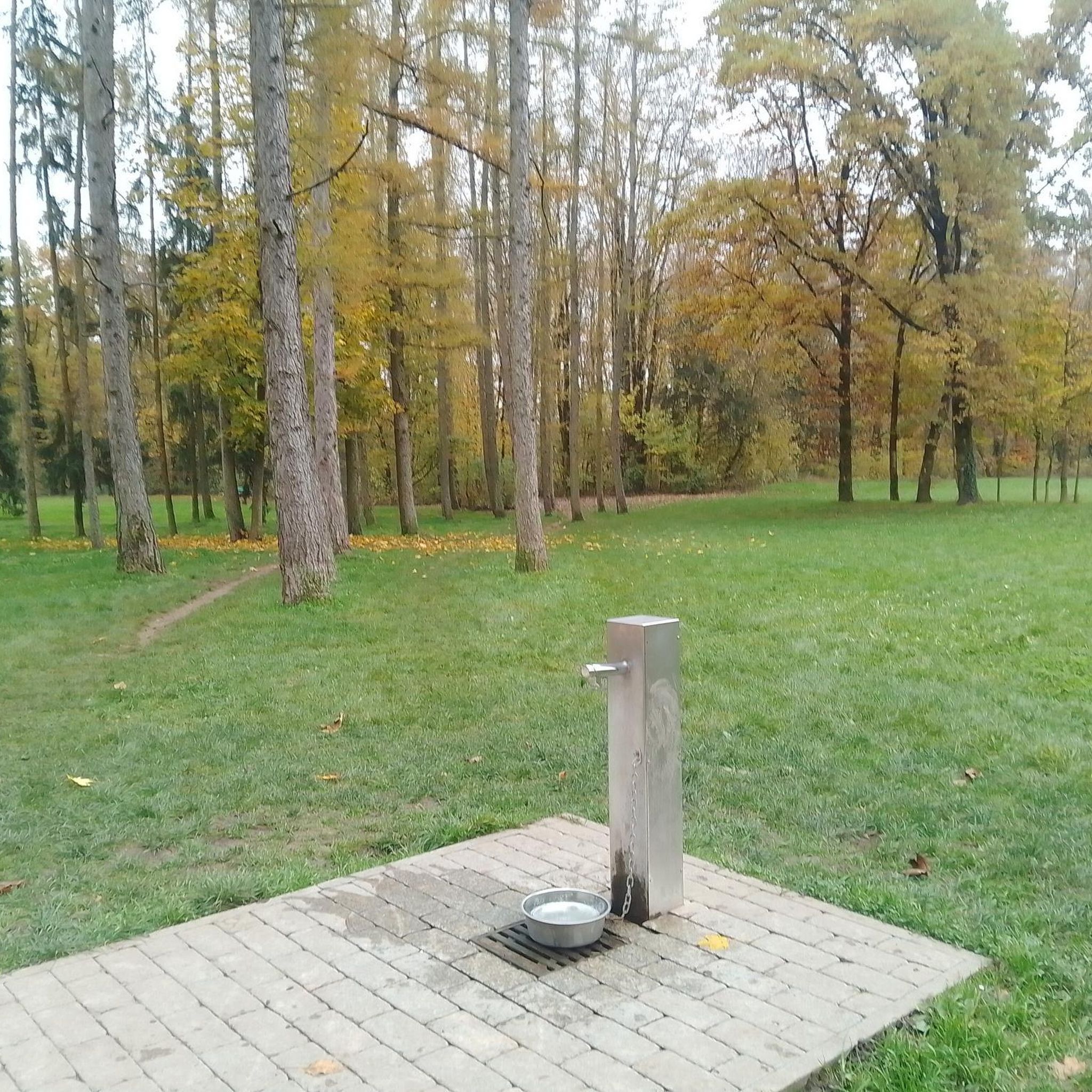
Hikes from bus stations in Irchel
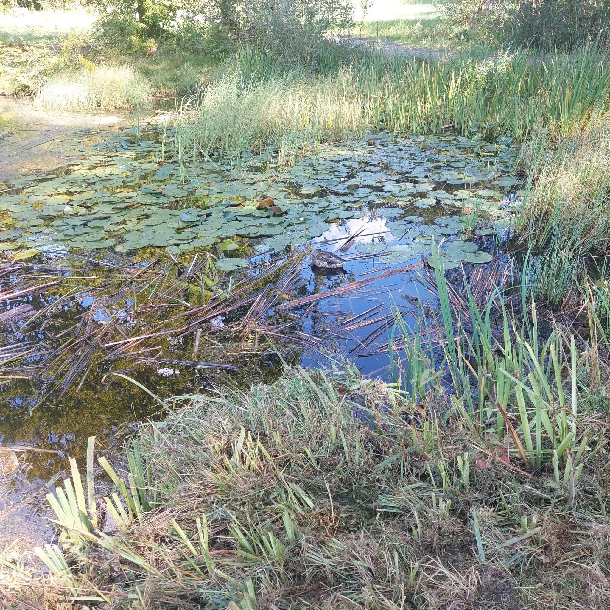
Hikes from bus stations in Kohlfirst
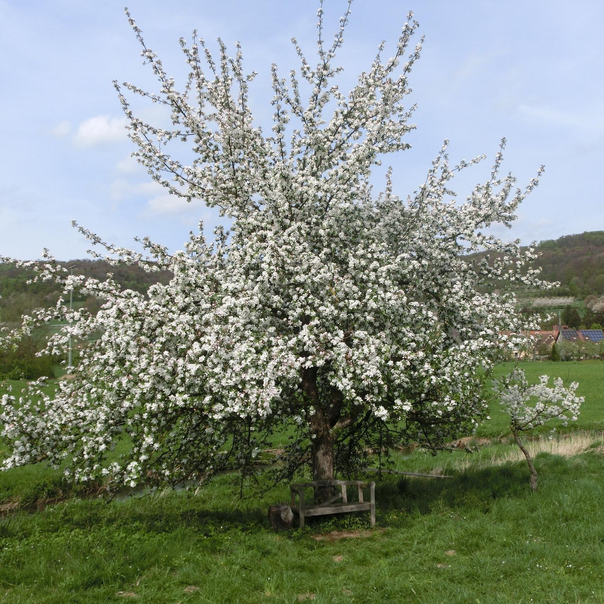
Hikes from bus stations around Stammerberg
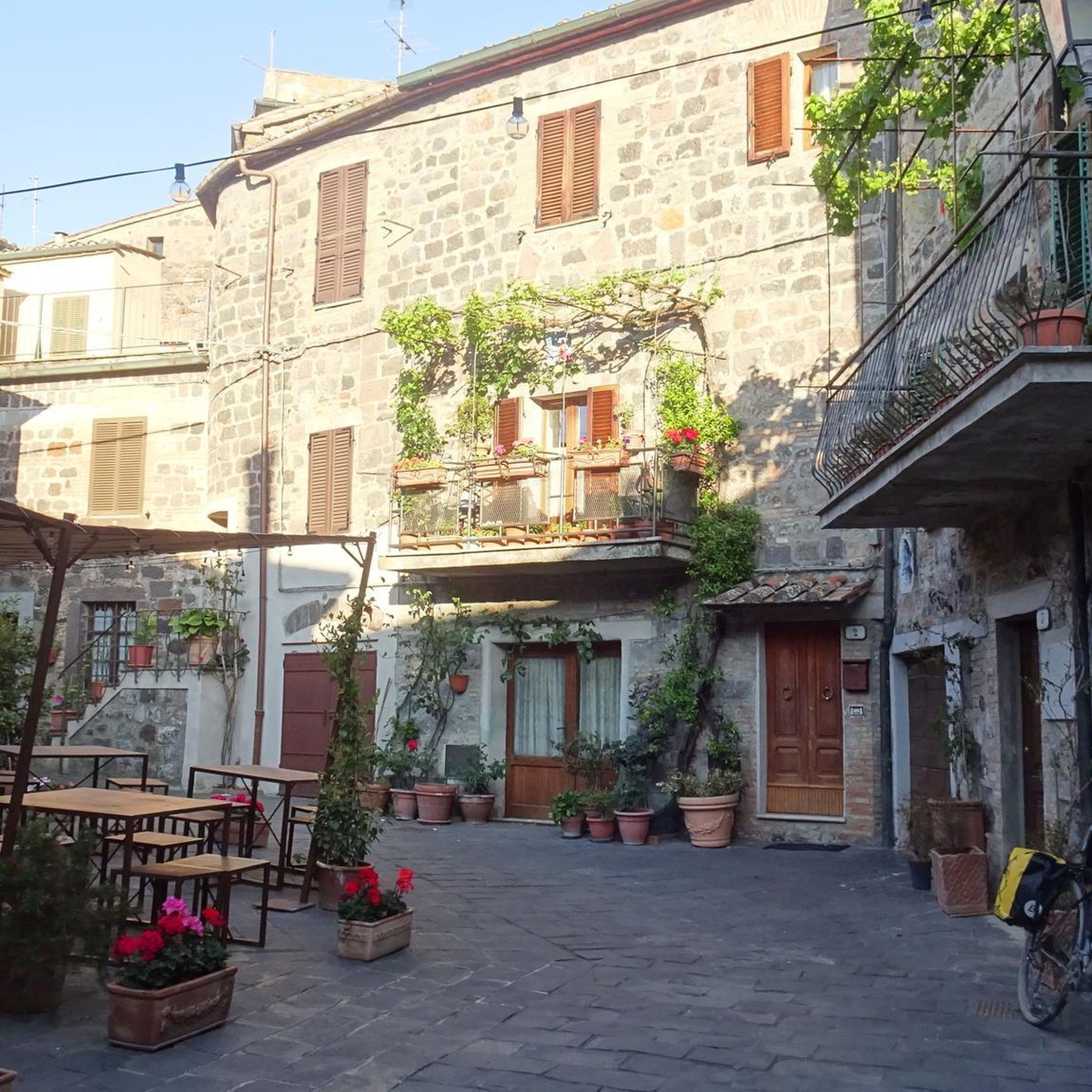
Hikes from bus stations around Husemersee

The Rhine Cycle Path — From the source to the North Sea
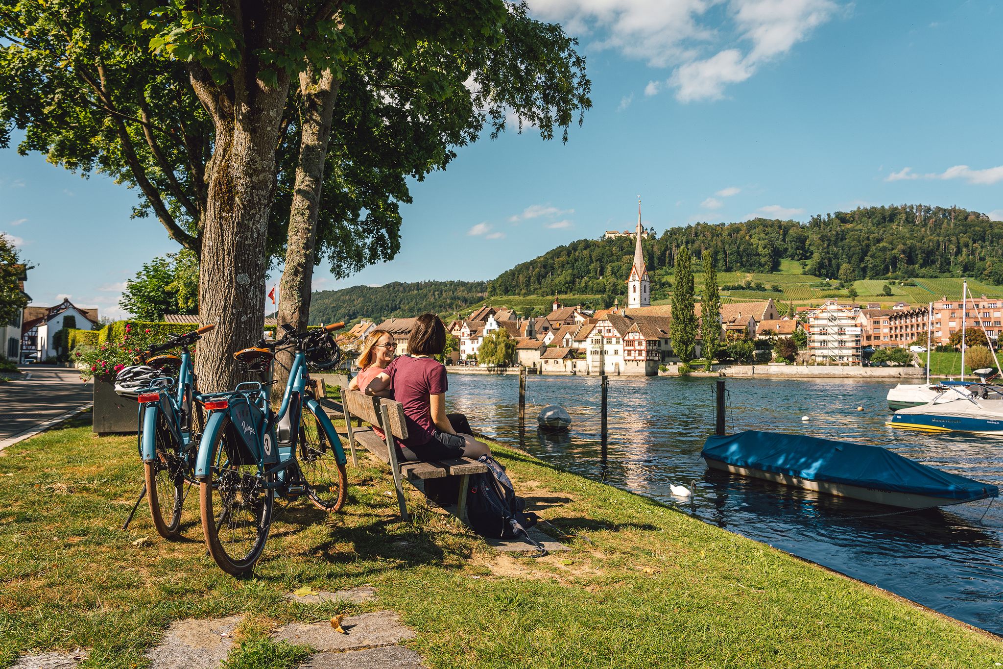
Rhine, vines, Randen – the top 5 cycle routes in Schaffhauserland
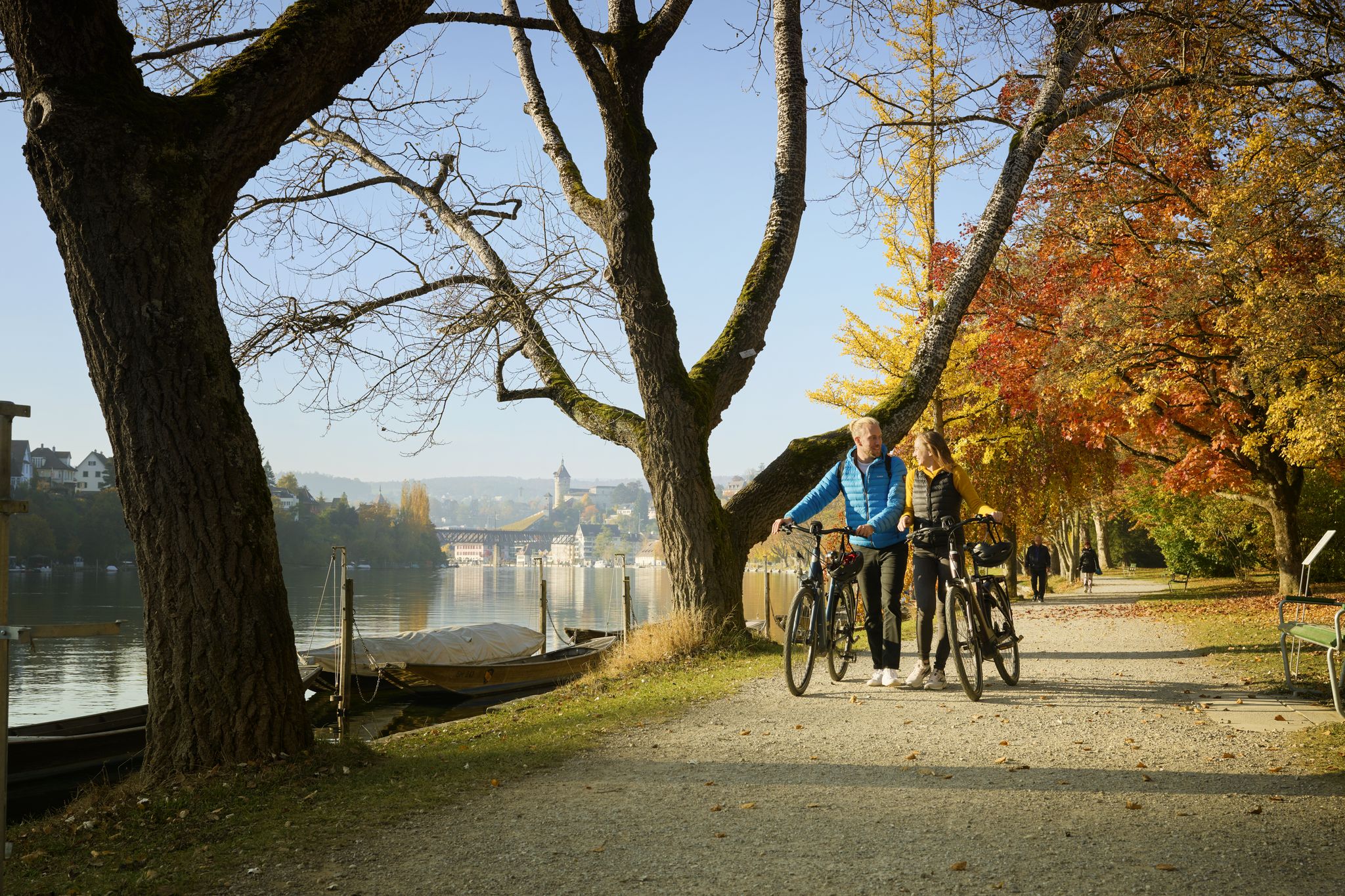
Rhine, Vines and Randen – autumn cycling routes in Schaffhauserland
Other adventures in Andelfingen


Tips from the Community

The Rhine is completely different here in the High Rhine region, the colours alone are simply stunning
0
0

A relatively unspectacular hiking trail along both sides of the Rhine… but you will find peace here
7
0
Crossing in one-way traffic… Cars and pedestrians share the road here… so ⚠️
8
1


Nice place with a very nice view directly onto the Rhine
1
0

From the Rhine bank path you also have a great view of the Rhine Falls.
6
0
Very beautiful idyllic path directly along the Rhine.
7
0
Frequently Asked Questions
How many hiking trails are accessible directly from bus stations in Andelfingen?
Andelfingen offers a wide variety of hiking trails accessible by public transport, with over 130 routes starting conveniently from bus stations. These routes cater to various preferences, including easy strolls and more challenging excursions through the diverse landscapes of the Zürcher Weinland.
What kind of landscapes can I expect on bus station hikes in Andelfingen?
Hikes from Andelfingen's bus stations lead you through a picturesque mosaic of golden cornfields, lush meadows, and traditional half-timbered houses. You'll experience rolling hills, agricultural beauty, and the scenic Rhine Riverside Trail, often with views of the Thur River, which flows through the region.
Are there any easy, family-friendly hikes accessible by bus in Andelfingen?
Yes, there are many easy options suitable for families. For example, the Rhine Riverside Trail – Rhine Falls loop from Neuhausen is an easy 6.9 km route that offers impressive views of the Rhine Falls and is well-suited for a family outing. Many other shorter, less strenuous loops are available along the Rhine Riverside Path.
Can I find circular hiking routes starting from bus stations in Andelfingen?
Absolutely. Many routes accessible by bus in Andelfingen are circular, allowing you to return to your starting point without needing additional transport. An example is the moderate Old Rhine Riverside Path – View of Thurspitz loop from Rüdlingen, which offers a scenic return to the bus station.
What natural features or landmarks can I see on these trails?
The trails offer a blend of natural beauty and historical sites. You can encounter the majestic Rhine River and its famous Rhine Falls, the confluence of the Thur and Rhine rivers at Thurspitz, and the historic Rheinau Covered Bridge. The Irchel Tower also provides panoramic views of the wine country and, on clear days, even the Alps.
Are there any dog-friendly hiking trails accessible by bus in Andelfingen?
Many trails in the Andelfingen region are dog-friendly, allowing you to enjoy the natural beauty with your canine companion. It's always recommended to keep dogs on a leash, especially near agricultural areas or wildlife, and to check local signage for any specific restrictions.
What is the best time of year to hike from bus stations in Andelfingen?
Andelfingen is beautiful year-round, but spring and autumn offer particularly pleasant hiking conditions with mild temperatures and vibrant scenery. Spring brings blooming wildflowers, while autumn showcases the golden hues of the vineyards and forests. Summer is also popular, though it can be warmer, and winter offers a serene, often snowy, landscape for those prepared for colder conditions.
Are there any challenging hikes accessible by bus in the region?
Yes, for those seeking a more strenuous experience, there are challenging routes available. The Rheinau Covered Bridge – Rhine Falls loop from Rheinau is a difficult 20.4 km hike with significant elevation gain, offering a rewarding adventure through varied terrain.
What do other hikers enjoy most about the bus station trails in Andelfingen?
The area is highly rated by the komoot community, with an average score of 4.59 stars. Reviewers often praise the diverse landscapes, the convenience of public transport access, and the stunning views along the Rhine and Thur rivers. The blend of natural beauty and historical landmarks is also frequently highlighted.
Can I combine a hike with a visit to the Rhine Falls?
Absolutely. Several bus-accessible routes are designed to incorporate the majestic Rhine Falls. The Rhine Riverside Trail – Rhine Falls loop from Neuhausen is a prime example, allowing you to experience this powerful natural wonder as part of your hike.
Are there any routes that offer views of the Zürcher Weinland?
Many trails provide excellent views of the Zürcher Weinland's characteristic rolling hills and agricultural landscapes. Hikes that ascend to viewpoints like the Irchel Tower offer expansive panoramas over the vineyards and surrounding countryside.
Most popular routes in Andelfingen
Most popular attractions in Andelfingen

Get inspired with the komoot mobile app


Didn’t find what you were looking for?
Check out more Hikes throughout Andelfingen below and find the perfect route in your destination.
Explore more
Browse the best Hikes in other regions.
