The best running trails in Andelfingen
4.2
(126)
1,669
runners
108
runs
Jogging routes in Andelfingen traverse the scenic Zurich wine country, characterized by rolling meadows, golden cornfields, and agricultural land. The region is shaped by the River Thur, offering flat and accessible paths along its banks. This landscape provides a tranquil backdrop for running, with varied terrain suitable for different preferences.
Best jogging routes in Andelfingen
- The most popular jogging route is Rhine Falls – Rhine Falls loop from Feuerthalen, a 6.7 miles (10.8 km) trail that takes 1 hour…
Last updated: August 11, 2026
4.5
(26)
641
runners
10.8km
01:10
150m
150m
Moderate run. Good fitness required. Mostly paved surfaces. Suitable for all skill levels.
5.0
(1)
78
runners
12.9km
01:25
100m
100m
Moderate run. Good fitness required. Mostly paved surfaces. Suitable for all skill levels.

Sign up for free
4.3
(3)
57
runners
35.8km
03:49
310m
310m
Hard run. Very good fitness required. Mostly paved surfaces. Suitable for all skill levels.
51
runners
14.7km
01:33
100m
100m
Moderate run. Good fitness required. Mostly paved surfaces. Suitable for all skill levels.
3.8
(4)
50
runners
14.3km
01:31
70m
70m
Moderate run. Good fitness required. Mostly paved surfaces. Suitable for all skill levels.
40
runners
Moderate run. Good fitness required. Mostly paved surfaces. Suitable for all skill levels.
44
runners
24.1km
02:32
120m
120m
Hard run. Very good fitness required. Mostly paved surfaces. Suitable for all skill levels.
23
runners
12.3km
01:20
120m
120m
Moderate run. Good fitness required. Mostly paved surfaces. Suitable for all skill levels.
2.0
(1)
24
runners
7.73km
00:49
30m
30m
Moderate run. Good fitness required. Mostly paved surfaces. Suitable for all skill levels.
29
runners
11.8km
01:15
80m
80m
Moderate run. Good fitness required. Mostly paved surfaces. Suitable for all skill levels.
Get access to more routes and recommendations from other explorers.
Sign up for free
Already have an account?
Our route recommendations are based on thousands of hikes, rides, and runs completed by other people on komoot.
Start today with a free account
Your next adventure awaits.
Login or Signup
Popular around Andelfingen
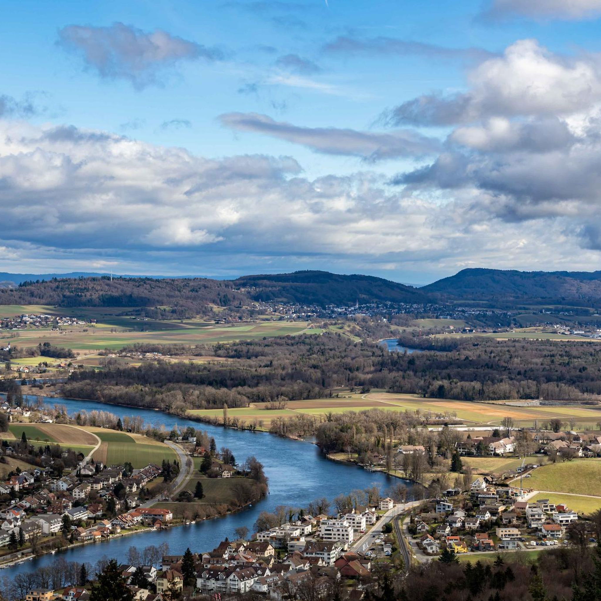
Running Trails around Flurlingen
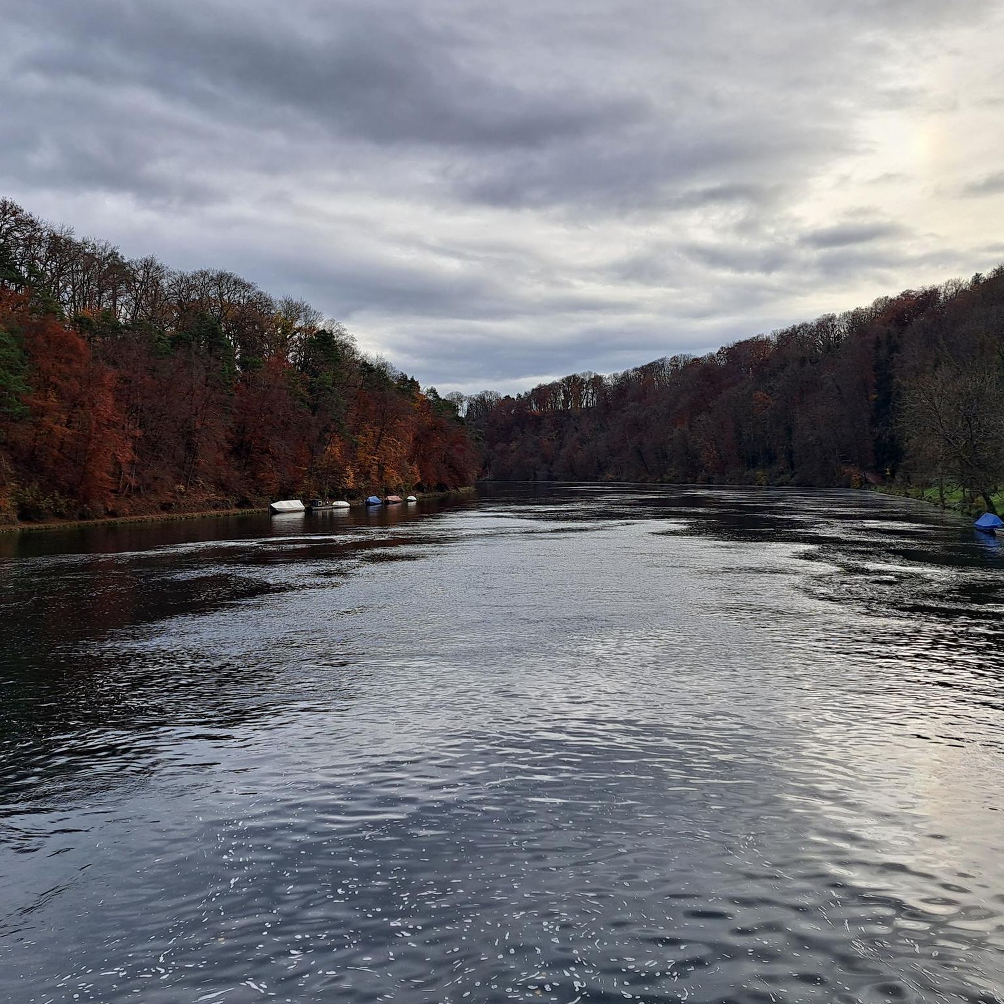
Running Trails around Laufen-Uhwiesen
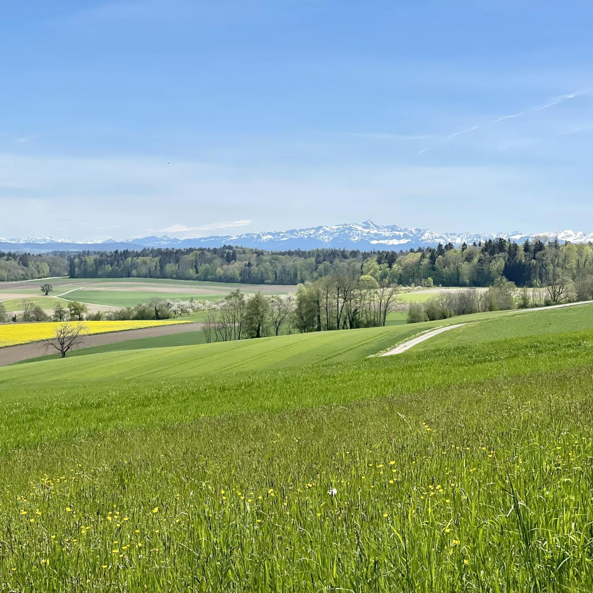
Running Trails in Kohlfirst
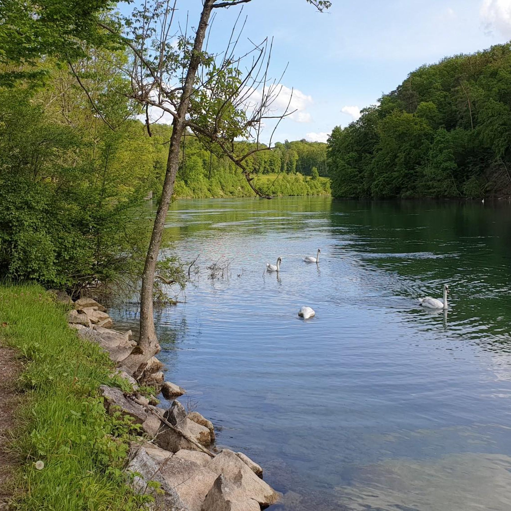
Running Trails around Dachsen
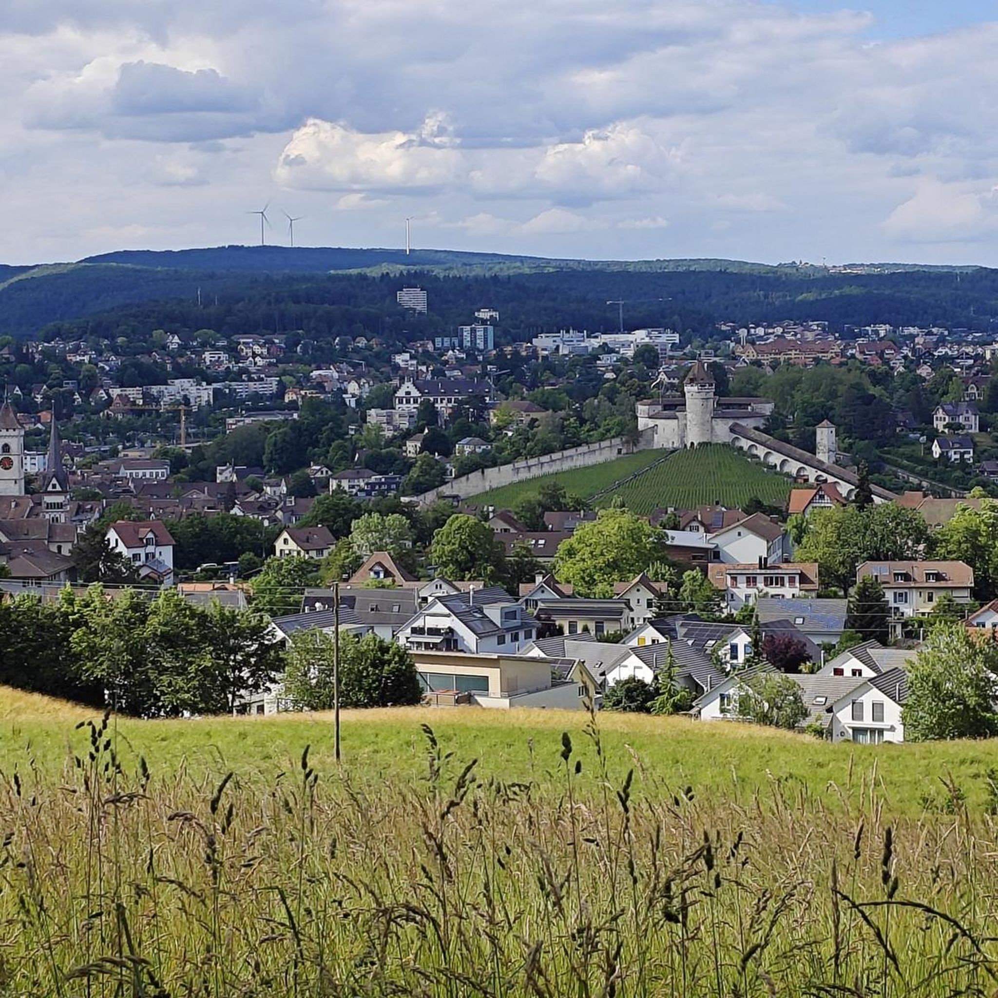
Running Trails around Feuerthalen
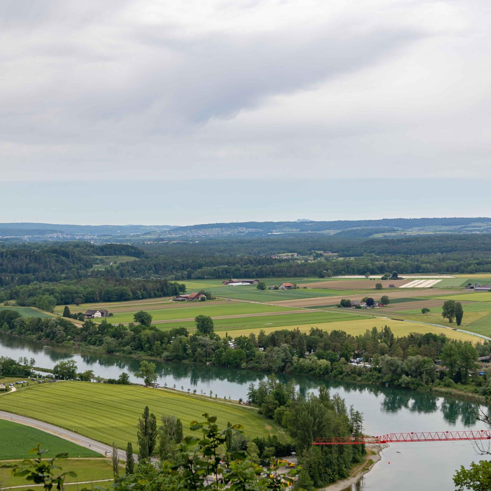
Running Trails in Irchel
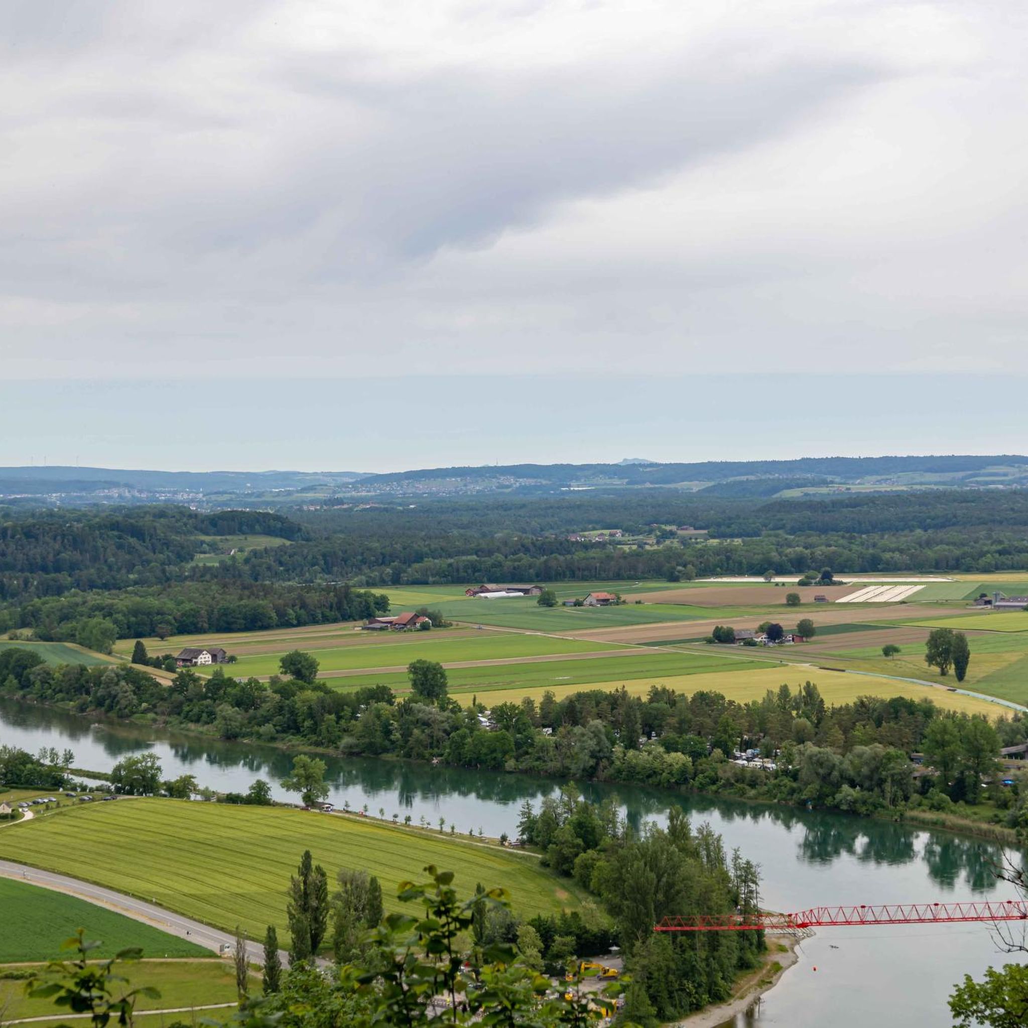
Running Trails around Berg am Irchel
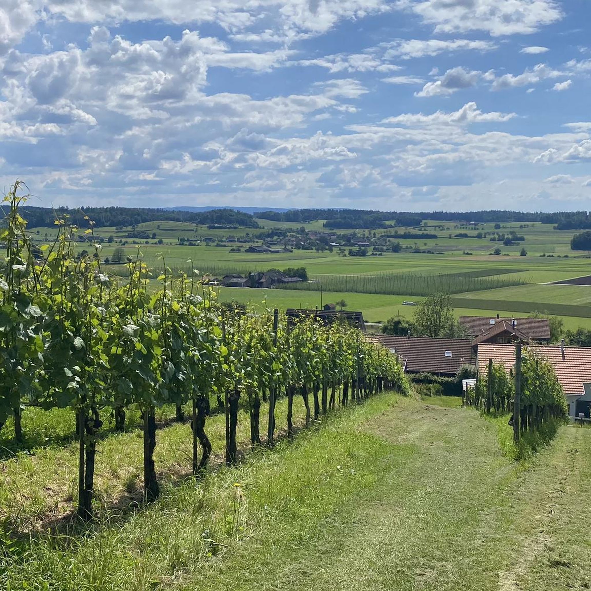
Running Trails around Stammerberg
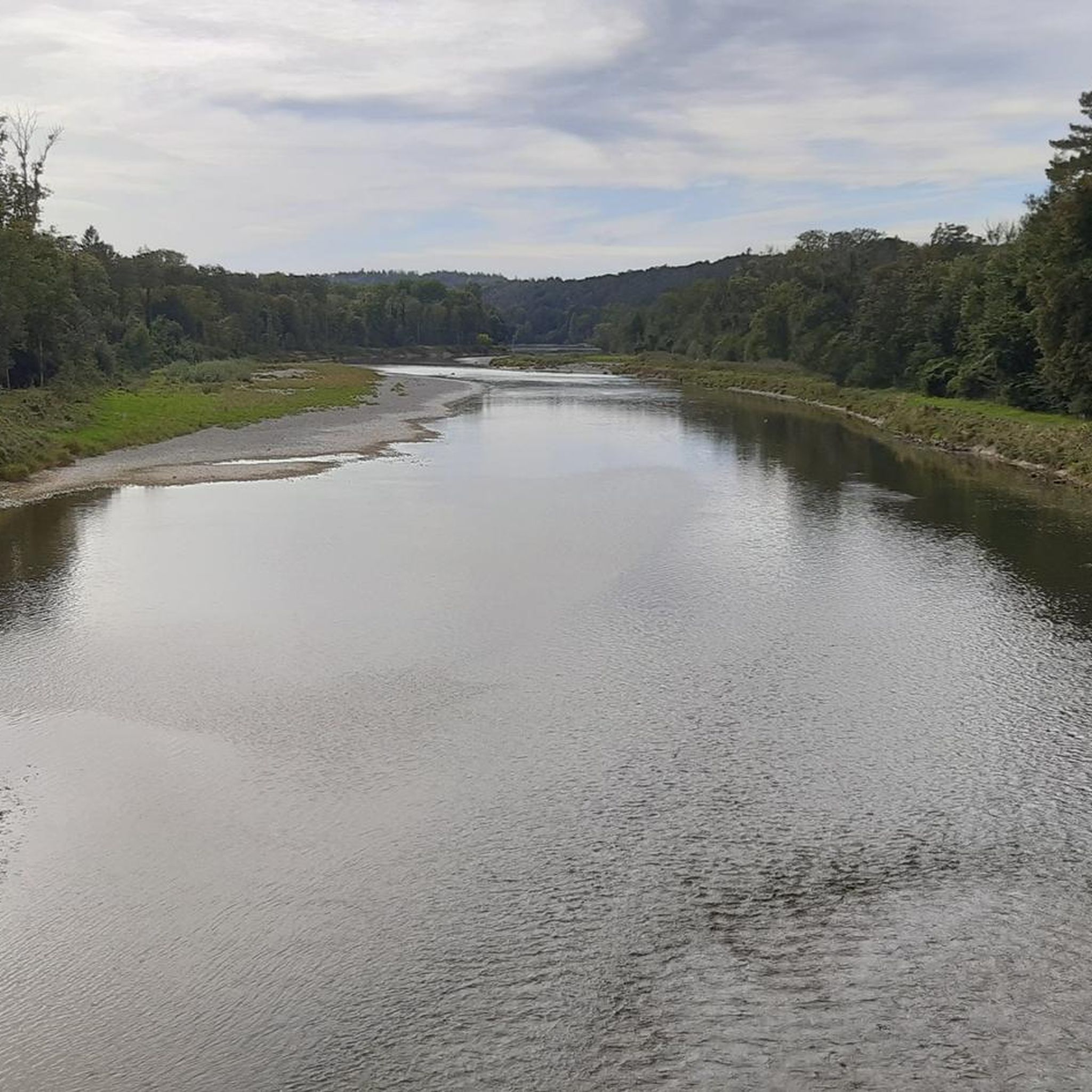
Running Trails around Flaach
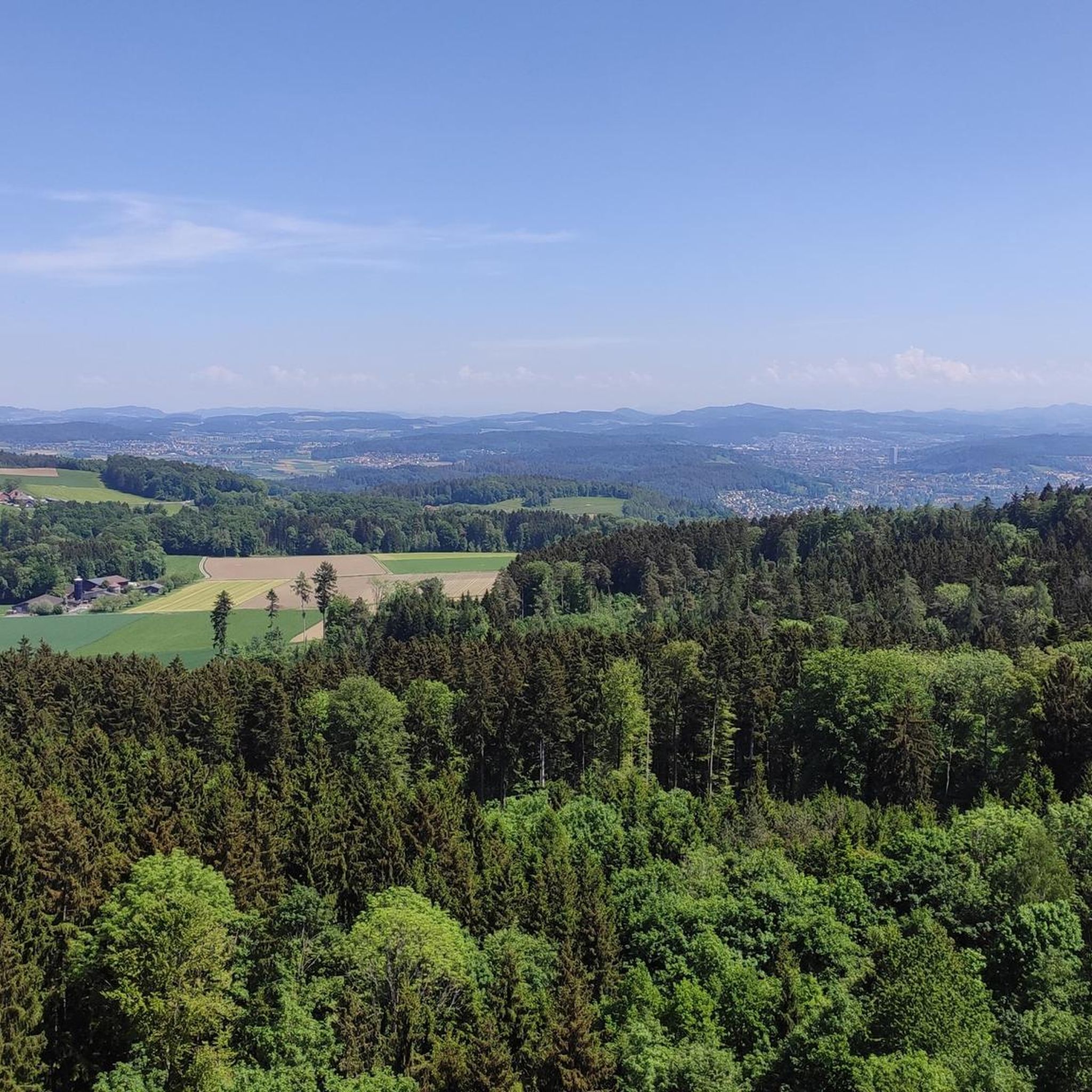
Running Trails around Buch am Irchel
Other adventures in Andelfingen


Tips from the Community

Getting there by trainThe Rhine Falls are excellently connected to the Swiss rail network. There are two train stations directly at the waterfall: South bank (Schloss Laufen): Use the S-Bahn line S33 (from the direction of Winterthur/Zurich or Schaffhausen) to the Schloss Laufen am Rheinfall station. From there, a short walk or a glass panoramic elevator leads directly to the castle and the platforms.
0
0
Rhine crossing (Ferry / Red Line): Connects the north bank (Schlössli Wörth) with the south bank (Schloss Laufen). Price: from approx. CHF 6.00 per person for the round trip. Note for families: Children under 6 years of age usually travel free of charge accompanied by an adult.
1
0
Audio tour (Pink Line - approx. 30 min.): A leisurely tour with explanations via headphones about the history of the Rhine Falls.Price: approx. CHF 14.00 per person.
1
0
Small round trip (Blue line - approx. 15 min.): Leads very close to the roaring masses of water. Price: approx. CHF 10.50 per person. Rock tour (Yellow line): The absolute highlight, where the boat takes you to the middle rock, which you can climb via steps. Price: from approx. CHF 22.50 per person (including transfer).
1
0
Frequently Asked Questions
How many running routes are available in Andelfingen?
Andelfingen offers a wide selection of over 100 running routes. These range from easy, flat paths along the rivers to more challenging trails with varied terrain, catering to all fitness levels.
What kind of terrain can I expect on jogging routes in Andelfingen?
The jogging routes in Andelfingen primarily feature the scenic Zurich wine country, characterized by rolling meadows, golden cornfields, and agricultural land. You'll find many flat and accessible paths along the Thur and Rhine rivers, as well as routes through more open, natural landscapes.
Are there any easy or beginner-friendly running trails in the area?
Yes, Andelfingen has several easy running routes perfect for beginners or those looking for a relaxed jog. For instance, the region offers routes with minimal elevation gain, often following the riverbanks, providing a gentle and scenic experience.
Can I find challenging or long-distance running routes in Andelfingen?
Absolutely. For those seeking a challenge, there are difficult routes like the 22.6 miles (36.3 km) Büsingen on the High Rhine – Seal Tower, Diessenhofen loop from Feuerthalen, which leads through the High Rhine area. Another long-distance option is the 15 miles (24.1 km) Thur Riverside Trail – Thur Bridge loop from Bezirk Andelfingen.
Are there any circular jogging routes in Andelfingen?
Many of the running routes in Andelfingen are designed as loops, offering convenient circular paths. An example is the 6.7 miles (10.8 km) Rhine Falls – Rhine Falls loop from Feuerthalen, which provides stunning views and brings you back to your starting point.
What scenic landmarks or viewpoints can I see while running in Andelfingen?
Jogging in Andelfingen offers beautiful sights. You can enjoy views of the Rhine Falls, the historic covered wooden bridge over the Thur River, and the picturesque landscapes of the Zurich wine country. Some routes also pass by historic sites like the View of Schaffhausen and the Rhine from Feuerthalen Bridge.
Are there any family-friendly running trails in Andelfingen?
Yes, the region's flat riverside paths and open meadows are ideal for family outings. Routes with lower difficulty and shorter distances, such as the 4.6 miles (7.5 km) View of the Rhine Falls – Rhine Falls Viewing Platform loop from Neuhausen, are great for families to enjoy together.
Are dogs allowed on the running trails in Andelfingen?
Many of the natural trails and riverside paths in Andelfingen are dog-friendly, making it a great place to run with your canine companion. Always ensure your dog is under control and check for any specific local regulations or protected areas.
What do other runners say about jogging in Andelfingen?
The running routes in Andelfingen are highly rated by the komoot community, with an average score of 4.3 stars from over 100 reviews. Runners often praise the tranquil backdrop of rolling meadows, the accessible riverside paths, and the varied terrain suitable for different preferences.
Are there any historical sites or castles near the running routes?
Yes, the Andelfingen area is rich in history. You can find several castles nearby, such as Girsberg Castle, Wyden Castle, and Eigental Castle. Some routes may pass close to these historic landmarks, offering a glimpse into the region's past.
Which running routes offer views of the Rhine River?
Several routes provide excellent views of the Rhine River. The 8.1 miles (13.0 km) Rheinfalluferweg – Rhine Riverside Path near Nohl loop from Rheinau and the 7.7 miles (12.4 km) View of the Rhine River – Rhine Riverside Path near Nohl loop from Dachsen are both great options for enjoying the riverside scenery.
Are there any routes that pass through the Thur wetlands?
Yes, some trails in the region offer access to the Thur wetlands. For example, the Trail through the Thur wetlands to the viewing platform is a highlight that allows you to experience this unique natural environment while running.
Most popular routes in Andelfingen
Most popular attractions in Andelfingen

Get inspired with the komoot mobile app


Didn’t find what you were looking for?
Check out more Running Trails & Routes throughout Andelfingen below and find the perfect route in your destination.
Explore more
Browse the best Running Trails & Routes in other regions.
