The best city hikes and walks in Ering
4.6
(2257)
21,700
hikers
30
hikes
Urban hiking trails in Ering are characterized by the scenic Inn River, its floodplains, and the surrounding rolling hills of Bavaria. The region offers diverse natural features, including the Europareservat Unterer Inn, known for birdwatching, and picturesque village paths. Hikers can explore well-maintained routes that often provide views of the river and lead through charming local landscapes.
Best urban hiking trails in Ering
- The most popular urban hiking route is Tourbillon Castle – Tourbillon Castle Garden loop from Sion,…
Last updated: May 16, 2026
4.6
(19)
229
hikers
4.89km
01:25
130m
130m
Easy hike. Great for any fitness level. Easily-accessible paths. Suitable for all skill levels.
4.5
(2)
13
hikers
9.25km
02:24
60m
60m
Moderate hike. Good fitness required. Easily-accessible paths. Suitable for all skill levels.

Sign up for free
4.5
(2)
3
hikers
3.59km
01:06
120m
120m
Easy hike. Great for any fitness level. Easily-accessible paths. Suitable for all skill levels.
7
hikers
5.18km
01:21
30m
30m
Easy hike. Great for any fitness level. Easily-accessible paths. Suitable for all skill levels.
5.0
(1)
9
hikers
1.81km
00:34
60m
60m
Easy hike. Great for any fitness level. Easily-accessible paths. Suitable for all skill levels.
Get access to more routes and recommendations from other explorers.
Sign up for free
Already have an account?
Our route recommendations are based on thousands of hikes, rides, and runs completed by other people on komoot.
Start today with a free account
Your next adventure awaits.
Login or Signup
Popular around Ering
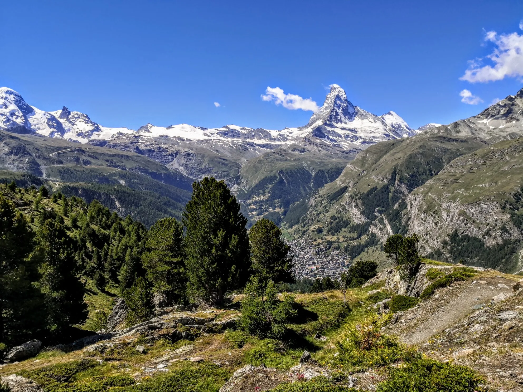
Walker's Haute Route – The ultimate alpine adventure

Alpine Passes Trail – hiking 700km across Switzerland

Alpine Passes Trail in Switzerland – 34 stages of pure mountain fun
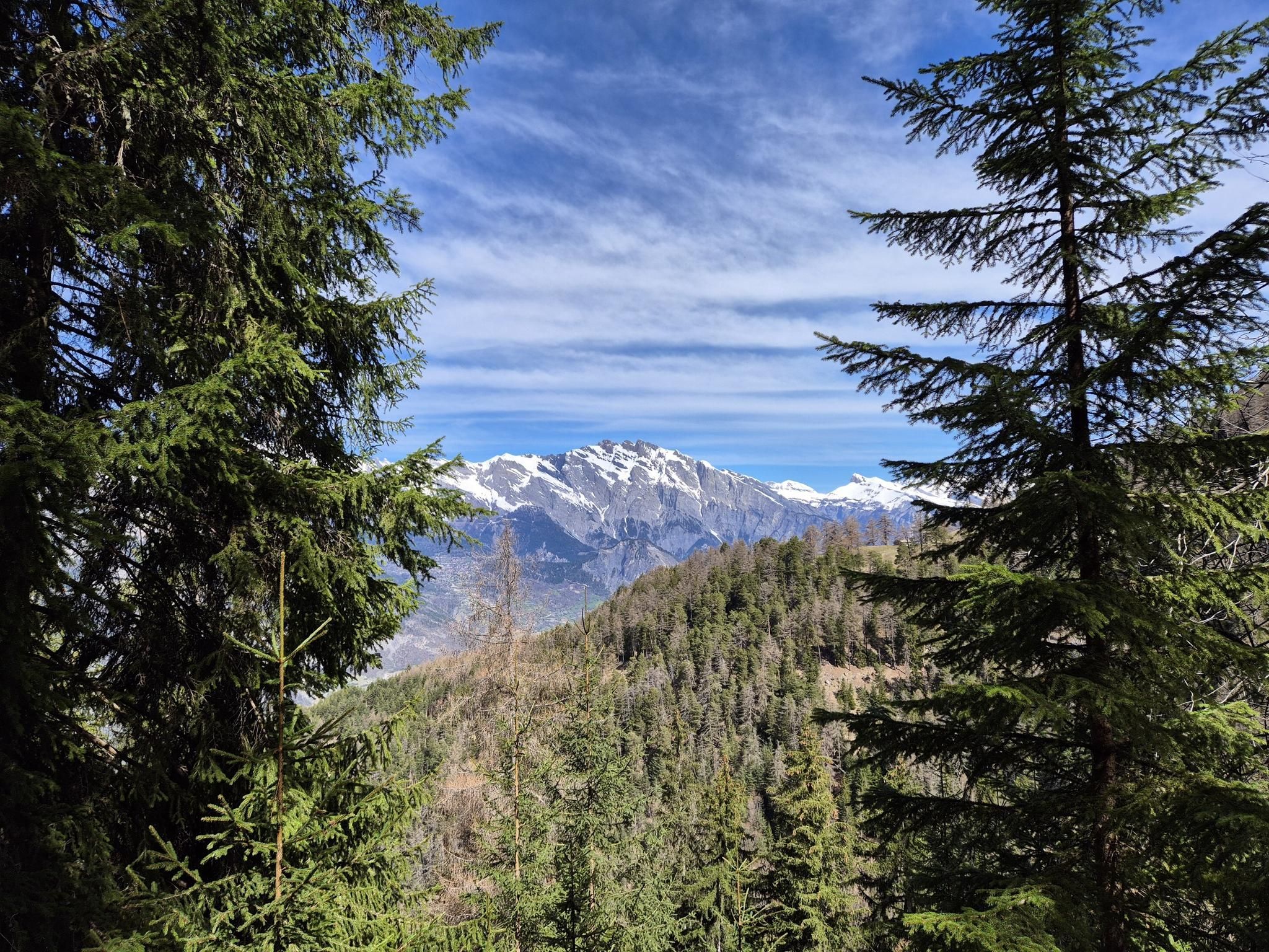
The sacred waters of the Valais - Le Chemin des Bisses
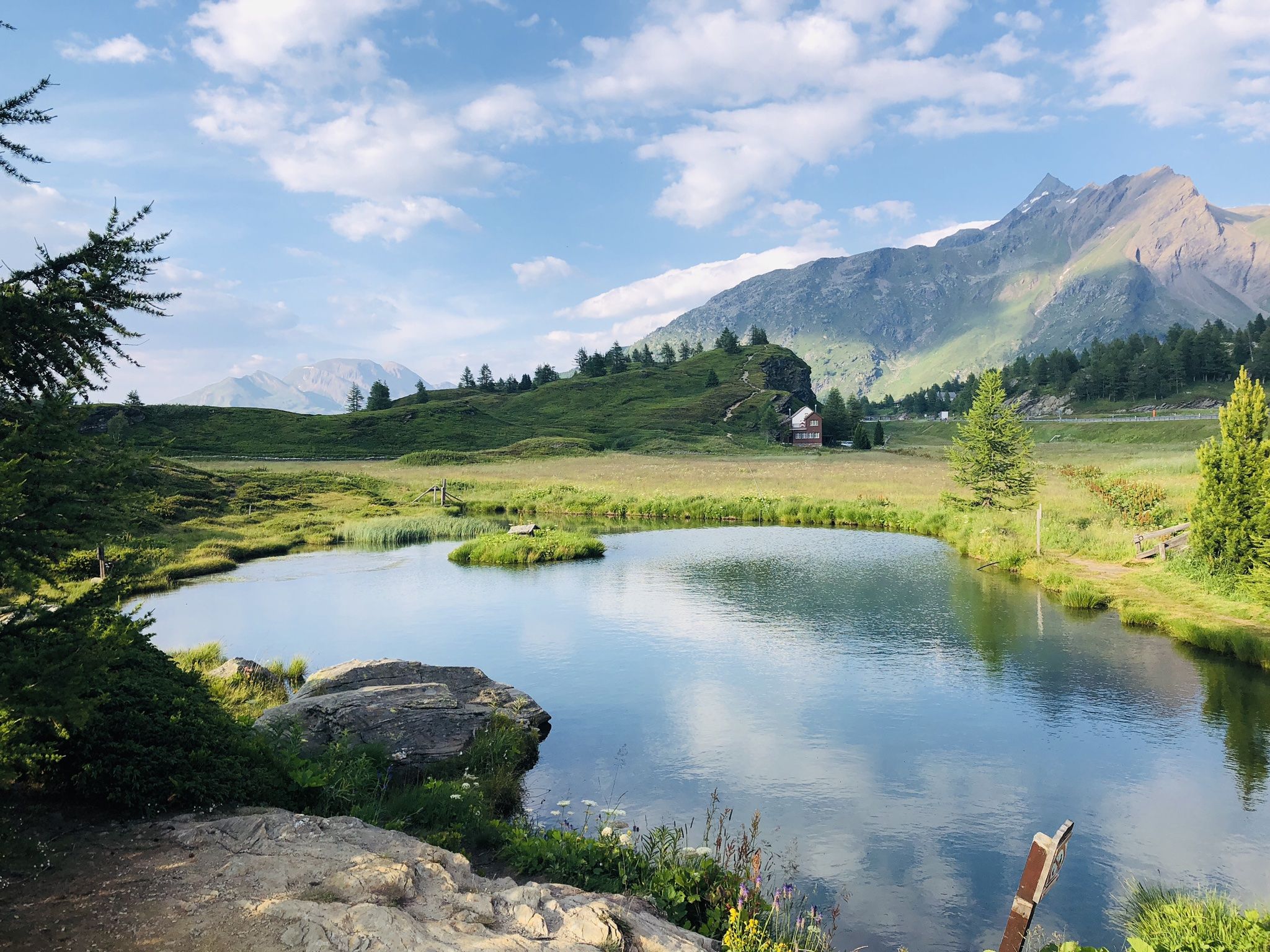
The closest place to the sun in Switzerland – multiday Tours in Valais
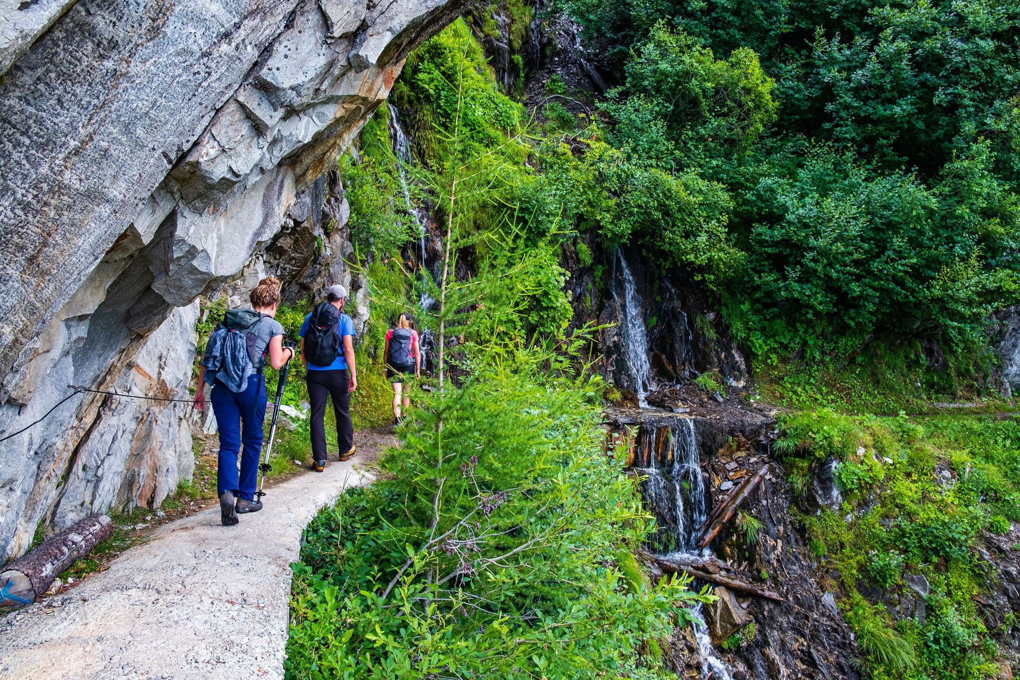
Passes, lakes and alpine huts in Switzerland – discover the Valais
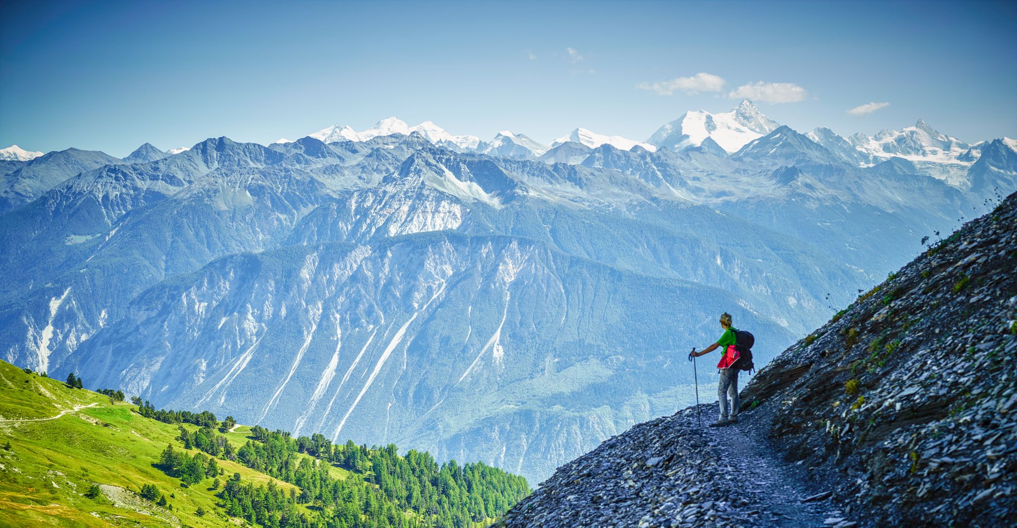
High altitude hikes in Vallois – Blogger Hike Challenge 2019
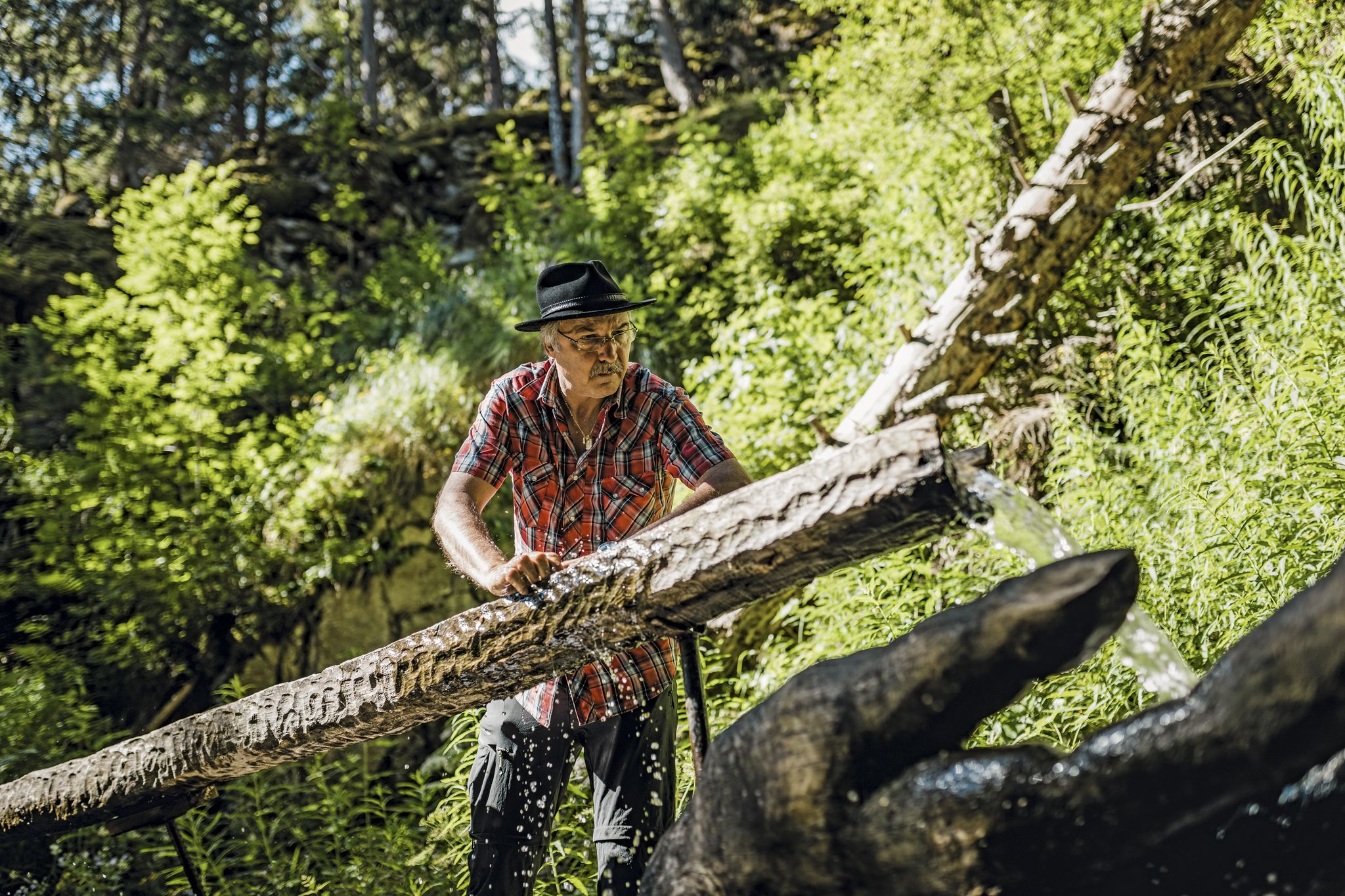
Liquid gold from Nendaz-Veysonnaz

Road to Lisbon – bikepacking the Alps, Pyrenees and Picos de Europa
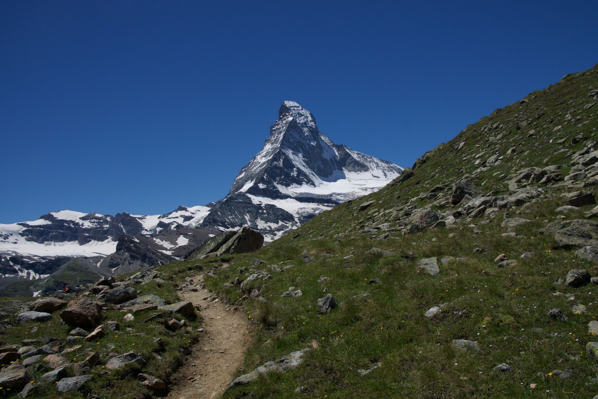
On the noble rock of the Alps – Cervino Matterhorn Ultra Race
Other adventures in Ering


Tips from the Community

Dominating the Sion skyline from one of the two hills overlooking the capital of Valais, Valère Castle is a fortified complex that seems suspended in time. Inside, it houses the Basilica of Our Lady of Valère, an architectural masterpiece blending Romanesque and Gothic styles. The castle is world-renowned for housing one of the oldest functioning organs on the planet, dating back to the 14th century, whose notes still resonate within the medieval walls today. Strolling through its courtyards and ramparts, one enjoys an unparalleled view of the Rhône Valley and the surrounding peaks. The sacred and military atmosphere of the fortified village reflects centuries of history and spiritual power, making it an unmistakable symbol of the Swiss landscape.
0
0

Finally, we return to the train station by crossing through the new Cour de Gare district.
0
0
This area, long dominated by industry, is reinventing itself and developing into a vibrant and sustainable neighborhood. To improve the quality of life in this transforming area, the street was redesigned as a shared space in 2023 – with numerous seating options, drinking fountains, and ample green space to reduce urban heat islands.
0
0

The view of the Basilica de Valère and the Rhône Valley alone is worth the climb to Tourbillon
0
0

Directly behind the Basilica of Our Lady on the Valère hill, the viewing platform offers a magnificent view of the old town of Sion / Sitten, the local mountain Mont d'Orge, the Rhône valley and numerous mountain peaks, such as Haut de Cry (2976 m), Grand Chavalard (2903 m), Dent de Nendaz (2467 m)...
1
0


Beautiful old town with some very narrow streets. The fountain is on a slightly larger street, but in the pedestrian area near the town hall.
0
0
It is not clear to me why a picture of the bishopric is on the title picture - the castle ruins offer enough corners worth seeing of their own. Definitely worth a visit. A guided tour is also offered, giving access to some rooms, e.g. the chapel.
0
0
Frequently Asked Questions
How many urban hiking trails are available in Ering?
Ering offers a good selection of urban hiking trails, with over 25 routes available on komoot. These range from easy strolls to more moderate walks, allowing you to explore the village and its scenic surroundings.
What is the best time of year for urban hiking in Ering?
The best time to enjoy urban hiking in Ering is generally between May and September. During these months, the weather is typically warm and sunny, providing ideal conditions to explore the picturesque landscapes and the Inn River floodplains.
Are there any easy urban walks suitable for beginners or families in Ering?
Yes, Ering has many easy urban walks. Over 20 of the available routes are classified as easy, making them perfect for beginners or families looking for a relaxed outing. These trails often feature well-maintained paths through the village and along the river.
What kind of natural features can I expect to see on urban hikes in Ering?
Urban hikes in Ering often feature the beautiful Inn River and its floodplains, which are part of the 'Europareservat Unterer Inn' – a significant area for birdwatching. You'll also encounter rolling hills and picturesque Bavarian village scenery. The Lake Tseuzier and Blue Lake are also notable natural highlights in the broader region.
Are there any circular urban walks in Ering?
Many of Ering's urban hiking trails are designed as circular routes, allowing you to start and end your journey in the same location. The 'Europareservat Unterer Inn' specifically highlights circular routes for exploring its natural beauty.
What are some interesting landmarks or places to explore along Ering's urban trails?
Beyond the natural beauty, you can explore charming villages and historical sites. The Tannbach Castle Park offers well-tended gardens and magnificent views of the Inn River. Other regional highlights include the Mont Rouge Summit and the Madonna and Child Statue on Mont Noble, offering scenic viewpoints.
What do other hikers enjoy most about urban hiking in Ering?
The area is highly rated by the komoot community, with an average score of 4.6 stars from over 2,200 ratings. Reviewers often praise the diverse natural features, the well-maintained trails, and the peaceful atmosphere, especially along the Inn River and through the picturesque villages.
Are there any urban hiking routes that offer good viewpoints in Ering?
Yes, the region around Ering, with its rolling hills, provides several opportunities for scenic viewpoints. The Tannbach Castle Park offers magnificent views of the Inn River, and routes like the 'Ering - Sankt Anna - St. Anna - Tannenberg Route' pass through elevated areas, including the Tannenberg summit, providing panoramic vistas.
Can I find urban hikes in Ering that are suitable for a moderate challenge?
Absolutely. While many trails are easy, Ering also offers 7 moderate urban hiking routes for those seeking a bit more of a challenge. An example is the 'Ering - Sankt Anna - St. Anna - Tannenberg Route', which covers approximately 7 km with a moderate elevation gain, taking about two hours to complete.
Are there any specific urban trails that highlight the Inn River in Ering?
Yes, the Inn River is a central feature of Ering's landscape. Trails like the 'Inn Valley Hiking Trail Ering' and 'Ering Route 18' are specifically designed to showcase the river and its surrounding floodplains, offering beautiful riverside walks and opportunities for birdwatching in the nature reserve.
What are the typical distances and durations for urban hikes in Ering?
Urban hikes in Ering vary in length and duration. You can find shorter walks, such as the Basilica of Valère loop from Sion at 1.8 km, taking around 30 minutes. Longer routes, like the 'Ering - Sankt Anna - St. Anna - Tannenberg Route', can be around 7 km and take nearly two hours, offering a more extended experience.
Most popular routes in Ering
Most popular attractions in Ering

Get inspired with the komoot mobile app


Explore more
Browse the best Hikes in other regions.
