The best road cycling routes in Ering
4.6
(30)
2,278
riders
16
rides
Road cycling in Ering, situated in Bavaria's Rottal-Inn district, offers diverse terrain along the Inn River and through rolling hills. The region is characterized by its location on the Inn River, which forms a natural border, and features extensive floodplains. Cyclists can expect a mix of flatter sections along the river and gently undulating routes through forested areas and the wider countryside.
Best road cycling routes in Ering
- The most popular road cycling route is Circuit Vallonné des Pyramides d'Euseigne…
Last updated: June 27, 2026
4.0
(1)
9
riders
27.1km
01:48
780m
780m
Moderate road ride. Good fitness required. Mostly well-paved surfaces and easy to ride.
5.0
(5)
106
riders
64.5km
03:50
1,590m
1,590m
Hard road ride. Very good fitness required. Mostly well-paved surfaces and easy to ride.

Sign up for free
5.0
(1)
88
riders
30.7km
02:01
930m
930m
Hard road ride. Very good fitness required. Some segments of this route may be unpaved and difficult to ride.
85
riders
27.4km
01:34
470m
470m
Moderate road ride. Good fitness required. Some segments of this route may be unpaved and difficult to ride.
4.7
(3)
79
riders
22.7km
01:29
580m
580m
Moderate road ride. Good fitness required. Mostly well-paved surfaces and easy to ride.
4.0
(2)
58
riders
49.3km
03:30
1,770m
1,770m
Hard road ride. Very good fitness required. Some segments of this route may be unpaved and difficult to ride.
5.0
(1)
49
riders
39.2km
02:21
970m
970m
Hard road ride. Very good fitness required. Mostly well-paved surfaces and easy to ride.
51
riders
24.2km
01:54
930m
920m
Hard road ride. Very good fitness required. Some segments of this route may be unpaved and difficult to ride.
47
riders
35.1km
02:28
1,240m
1,240m
Hard road ride. Very good fitness required. Mostly well-paved surfaces and easy to ride.
5.0
(1)
33
riders
57.0km
03:31
1,430m
1,430m
Hard road ride. Very good fitness required. Mostly well-paved surfaces and easy to ride.
Get access to more routes and recommendations from other explorers.
Sign up for free
Already have an account?
Our route recommendations are based on thousands of hikes, rides, and runs completed by other people on komoot.
Start today with a free account
Your next adventure awaits.
Login or Signup
Popular around Ering
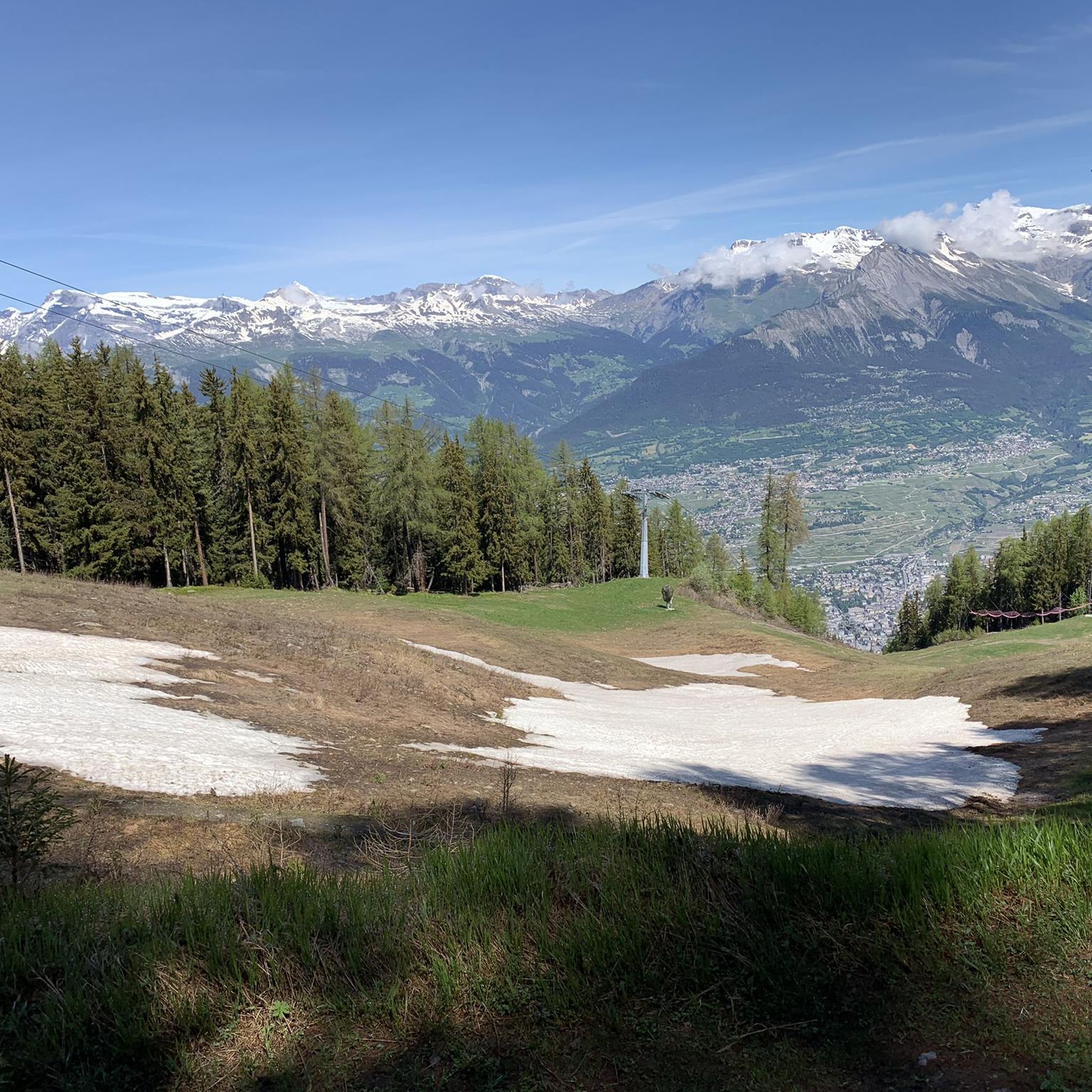
Road Cycling Routes around Les Agettes
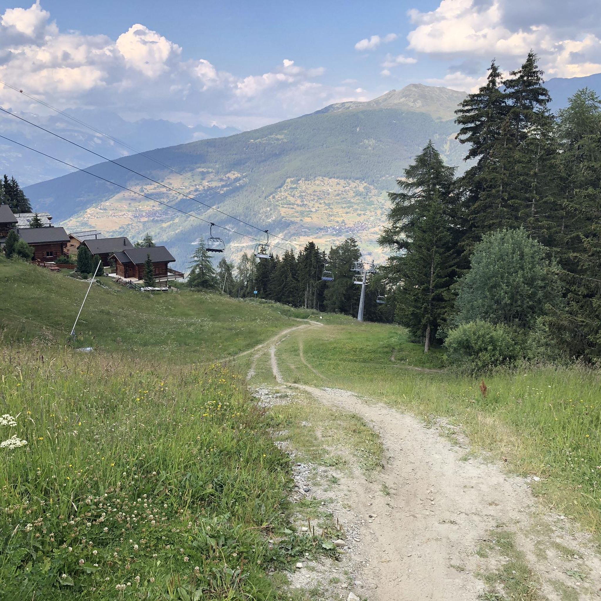
Road Cycling Routes around Vex
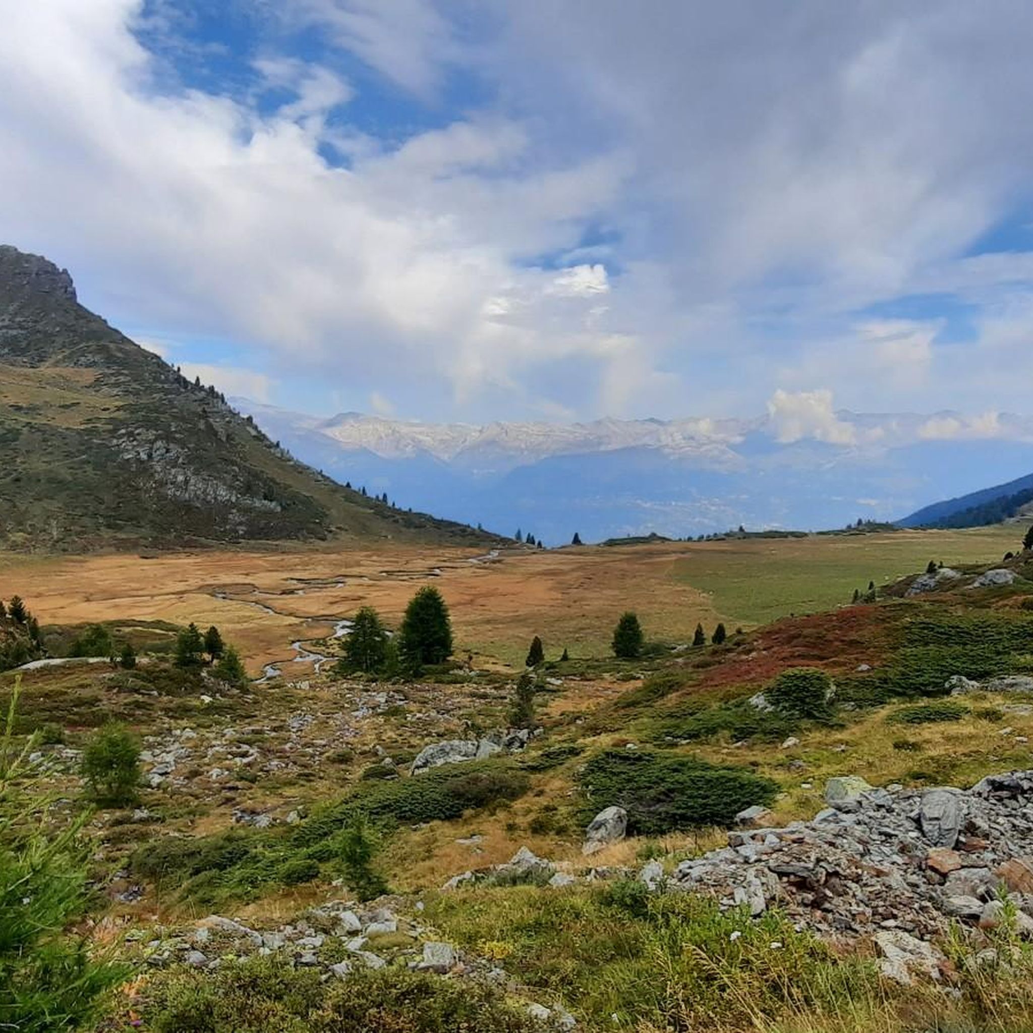
Road Cycling Routes around Mont-Noble
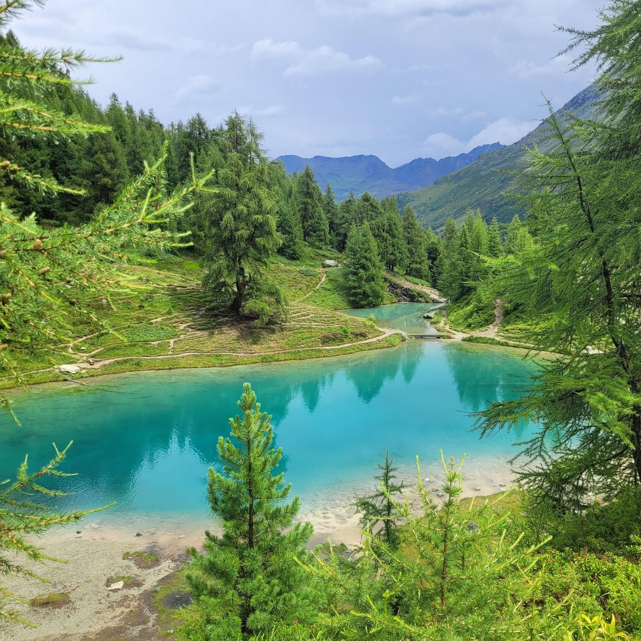
Road Cycling Routes around Evolène
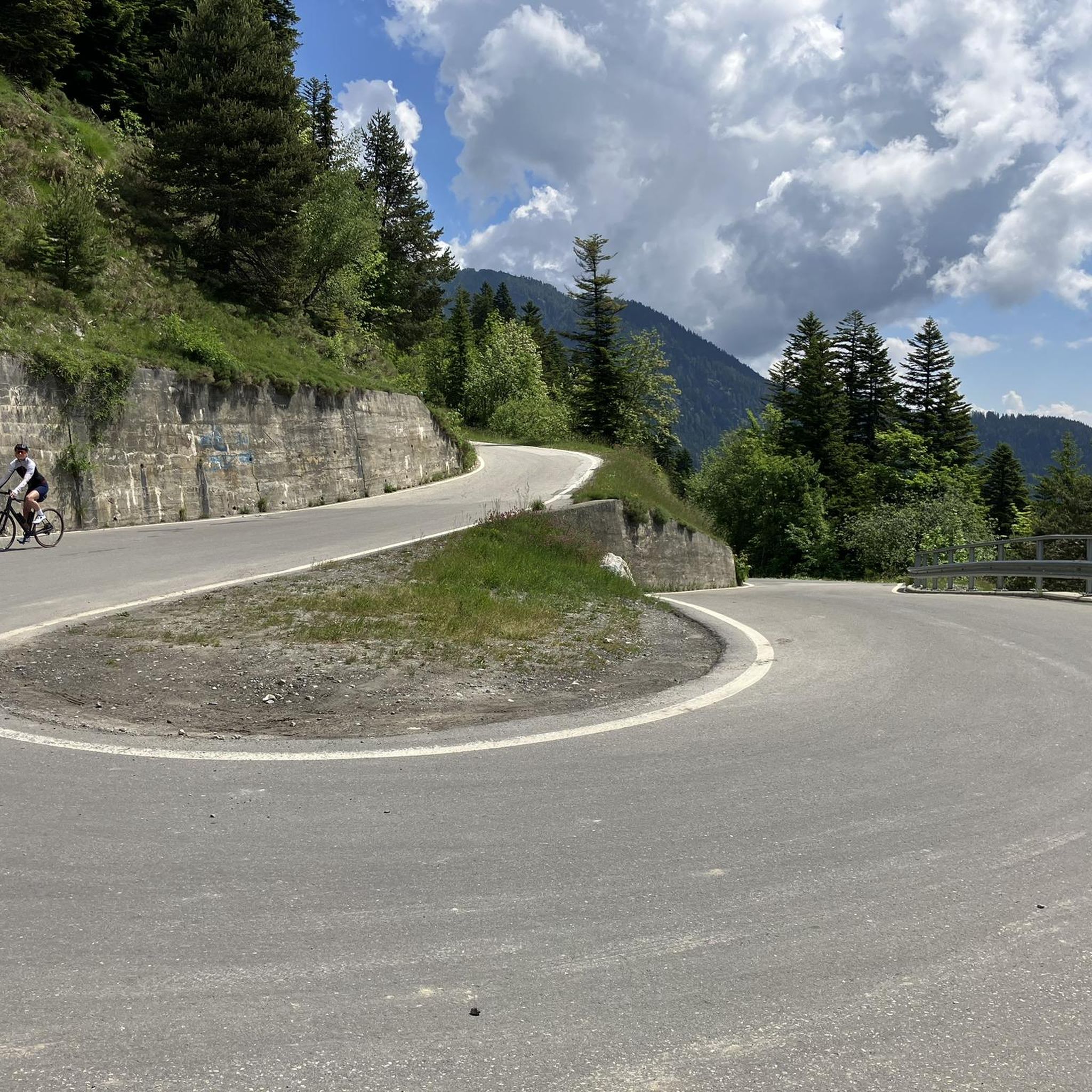
Road Cycling Routes around Ayent
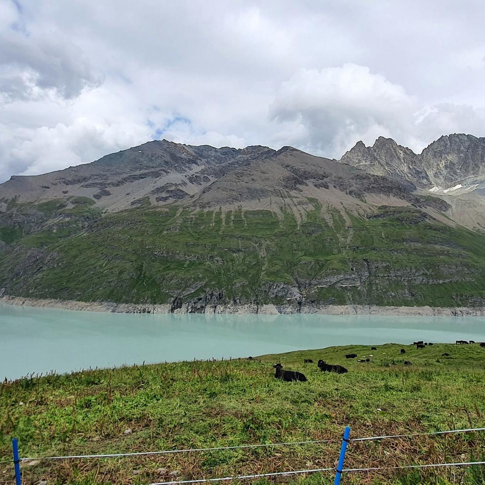
Road Cycling Routes around Hérémence
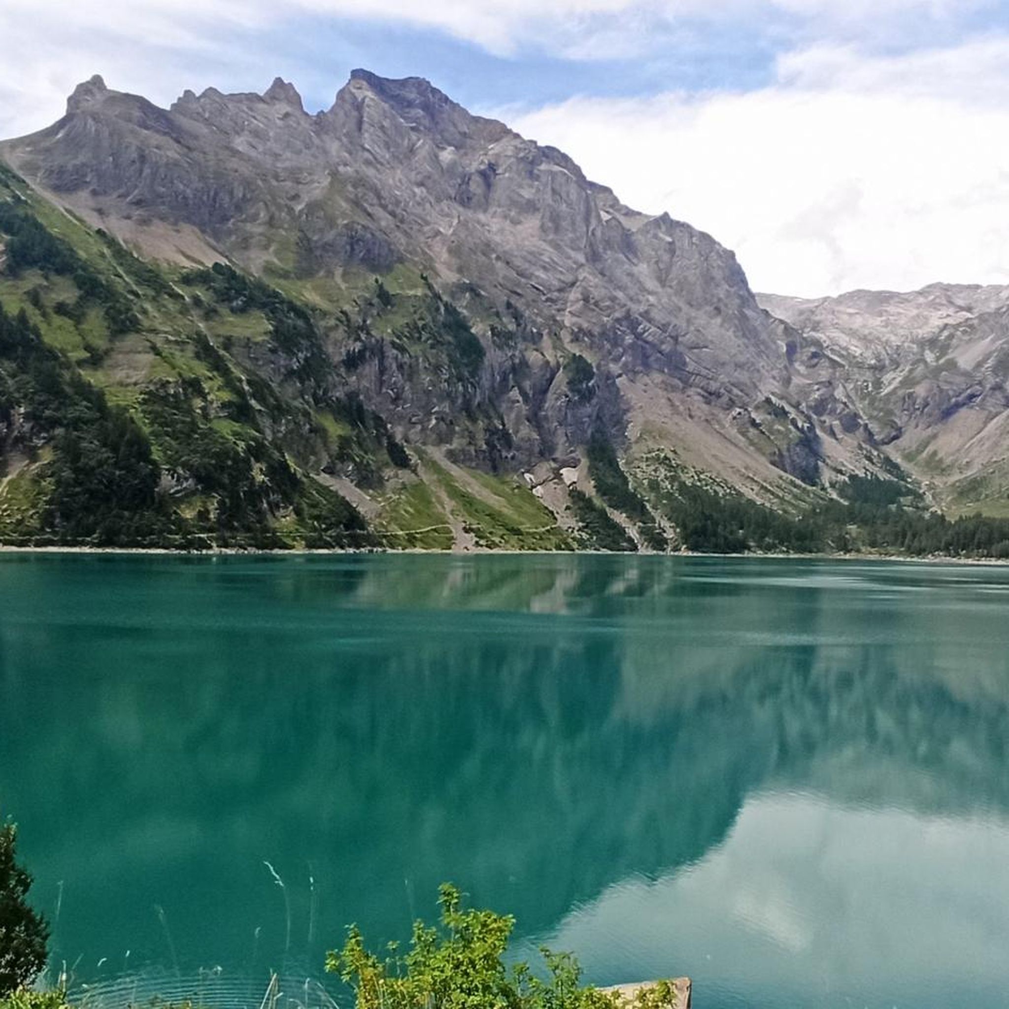
Road Cycling Routes around Lac de Tseuzier
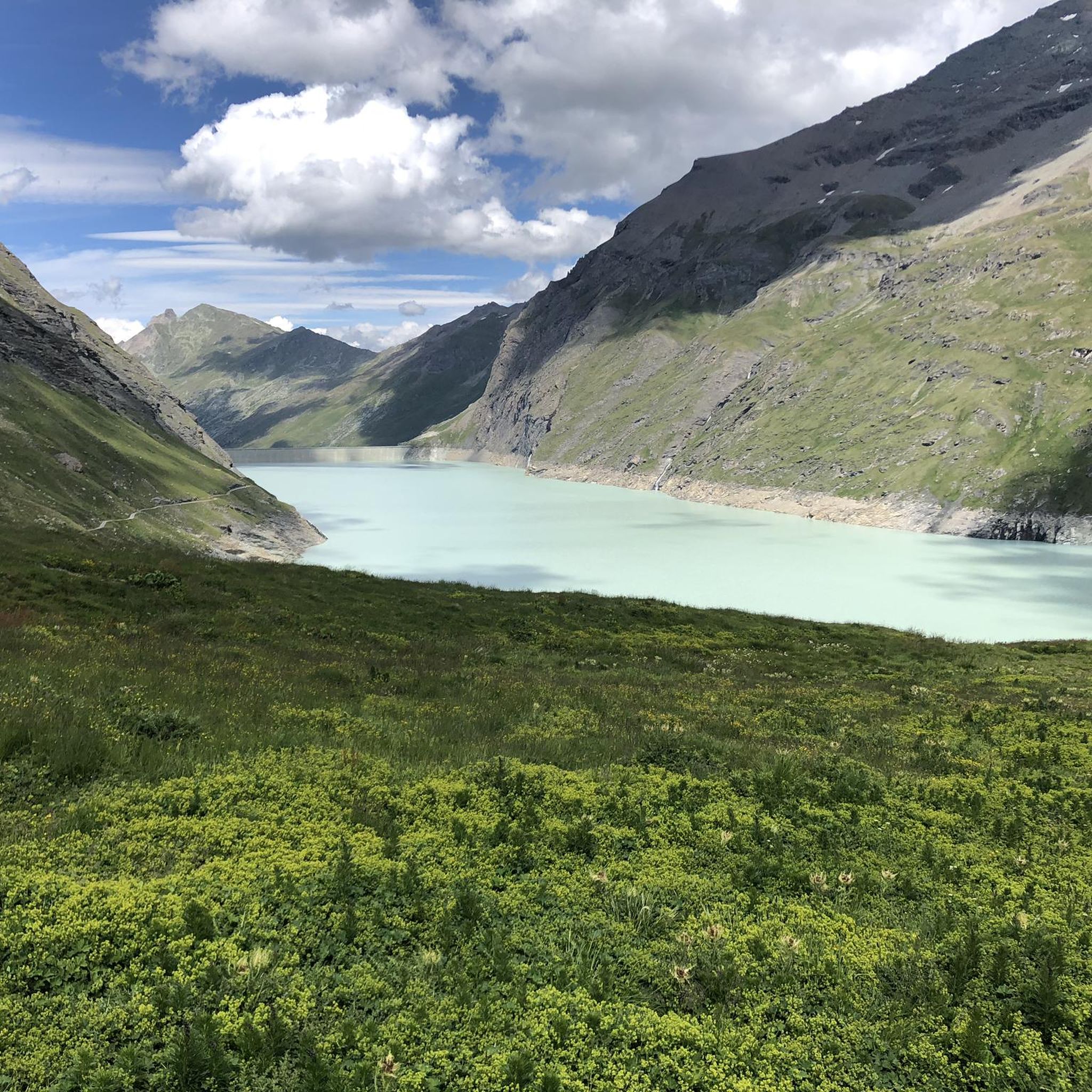
Road Cycling Routes around Lac des Dix
Walker's Haute Route – The ultimate alpine adventure

Alpine Passes Trail – hiking 700km across Switzerland
Other adventures in Ering


Tips from the Community


The Pont de la Monta allows you to cross the Borgne in the Val d’Hérens. The 75-metre footbridge offers magnificent views along the valley.
0
0

Arolla's town center is very pleasant. You'll find a mini-market, a sports shop with a great welcome, a tourist office, and hotels with terraces where you can enjoy a drink with a magnificent view of the mountains surrounding the town.
2
0
Can't give an opinion because the place was closed when we went there, but from the outside this place is very nice.
0
0
A stunning road that weaves its way through the vineyards that grow on the hillsides above Sion, with views out the peak of Le Châtelard.
0
0

A stunning road that weaves its way through the vineyards that grow on the hillsides above Sion, with views out the peak of Le Châtelard.
0
0


Arolla a local museum for the hotel industry and ski infrastructure
0
0
Frequently Asked Questions
What kind of terrain can I expect when road cycling in Ering?
Ering offers a diverse road cycling landscape. You'll find extensive flat sections along the Inn River, particularly on the Inn Cycle Path, which is ideal for relaxed rides. Away from the river, the region features gently rolling hills and forested areas, providing a more undulating and varied experience.
Are there road cycling routes suitable for beginners in Ering?
While the Komoot guide for Ering currently lists no easy road cycling routes, there are 7 moderate routes available. These routes offer a good balance for those looking to progress beyond beginner level, often featuring varied terrain without extreme climbs. The flat sections of the Inn Cycle Path are also very accessible for those new to road cycling, even if not explicitly categorized as 'easy' on Komoot.
What are the options for experienced road cyclists seeking a challenge in Ering?
For experienced road cyclists, Ering and its surrounding region offer plenty of challenging options. The Komoot guide features 9 difficult routes, which include significant climbs and elevation gains. For example, the Euseigne Pyramids loop from Arolla is a difficult 40.1-mile (64.5 km) path with an elevation gain of 5,229 feet (1,594 meters), providing a substantial workout.
What is the best time of year for road cycling in Ering?
The best time for road cycling in Ering is generally from spring through autumn. During these seasons, the weather is most favorable, and the natural beauty of the Inn River floodplains and rolling hills is at its peak. Summer offers warm temperatures, while spring and autumn provide cooler, pleasant conditions for longer rides.
Are there any family-friendly road cycling routes in the Ering area?
Yes, the broader Rottal-Inn region, where Ering is located, offers family-friendly cycling routes. The Inn Cycle Path, with its generally flat sections along the river, is very suitable for families. Additionally, the Rottal Cycle Route and the Three-Valley Cycle Route connect to the Inn Cycle Path, providing a network of paths through charming and accessible landscapes.
What attractions or points of interest can I see along road cycling routes in Ering?
Road cycling in Ering allows you to explore several interesting sights. You can cycle along the Inn River, which forms part of the 'European Reserve on the Lower Inn', a haven for diverse wildlife. Notable landmarks include the Ering-Frauenstein Hydroelectric Power Plant and the historic Frauenstein Castle. The nearby village of Aigen am Inn also offers historical sights like the Kastengebäude.
How do other cyclists rate the road cycling routes in Ering?
The road cycling routes in Ering are highly regarded by the Komoot community, with an average score of 4.67 stars from over 30 reviews. Cyclists often praise the varied terrain, from the scenic river paths to the challenging climbs, and the overall natural beauty of the region.
Are there any circular road cycling routes available in Ering?
Yes, Komoot offers several circular road cycling routes in the Ering area. For instance, the Circuit Vallonné des Pyramides d'Euseigne is a popular moderate 16.9-mile (27.1 km) loop. Another option is the La Monta Suspension Bridge – Arolla village centre loop from Les Haudères, a difficult 19.1-mile (30.7 km) trail.
What are the typical distances and durations for road cycling routes in Ering?
The road cycling routes in Ering vary significantly in length and duration. You can find moderate routes like the Vineyards Above Sion – Lac de la Brèche loop from Saint-Léonard, which is 17 miles (27.4 km) and takes about 1 hour 33 minutes. For longer rides, there are difficult options such as the Daillet–Nax Mountain Road loop from Vernamiège, spanning 30.4 miles (48.9 km) and typically completed in around 3 hours 29 minutes.
Are there opportunities for post-ride relaxation near Ering?
Absolutely. After a day of road cycling, you can unwind at the renowned thermal springs of Bad Füssing, which are conveniently located within reach of Ering. This offers a perfect opportunity for rejuvenation and muscle recovery.
How many road cycling routes are available on Komoot for Ering?
Komoot currently features 16 road cycling routes in the Ering area. These routes cater to various skill levels, with 7 categorized as moderate and 9 as difficult, ensuring options for both improving cyclists and seasoned riders.
Can I access road cycling routes in Ering using public transport?
Ering's integration into the regional transport network means that some starting points for cycling routes may be accessible via public transport. It's advisable to check local bus or train schedules for connections to Ering and surrounding villages that serve as route access points, especially if you plan to cycle sections of the Inn Cycle Path.
Where can I find parking for road cycling routes in Ering?
Parking for road cycling routes in Ering is generally available in the village center and at designated parking areas near popular trailheads or attractions like the Inn River access points. Look for public parking facilities in Ering or nearby towns such as Aigen am Inn, which often cater to visitors exploring the region.
Most popular routes in Ering
Most popular attractions in Ering

Get inspired with the komoot mobile app


Didn’t find what you were looking for?
Check out more Road cycling routes throughout Ering below and find the perfect route in your destination.
Explore more
Browse the best Road cycling routes in other regions.
