The best hikes from bus stations around Geisa
4.6
(11076)
38,214
hikers
85
hikes
Bus station hiking trails around Geisa offer access to the diverse landscapes of the Rhön Biosphere Reserve and the Thuringian Forest. The region is characterized by rolling hills, river valleys like the Ulsteraue, and historic routes such as the Green Belt. These trails provide varied terrain, from gentle paths to moderate ascents, suitable for exploring the natural and cultural heritage of the area.
Best bus station hiking trails around Geisa
- The most popular bus station hiking route is Rhön views…
Last updated: June 28, 2026
4.7
(22)
71
hikers
13.8km
04:03
390m
390m
Moderate hike. Good fitness required. Easily-accessible paths. Suitable for all skill levels.
4.8
(34)
127
hikers
6.56km
01:52
140m
140m
Easy hike. Great for any fitness level. Easily-accessible paths. Suitable for all skill levels.

Sign up for free
4.8
(26)
90
hikers
7.23km
02:03
150m
150m
Moderate hike. Good fitness required. Easily-accessible paths. Suitable for all skill levels.
4.6
(31)
98
hikers
10.3km
02:55
220m
220m
Moderate hike. Good fitness required. Easily-accessible paths. Suitable for all skill levels.
4.5
(26)
78
hikers
5.54km
01:45
220m
220m
Easy hike. Great for any fitness level. Easily-accessible paths. Suitable for all skill levels.
Get access to more routes and recommendations from other explorers.
Sign up for free
Already have an account?
Our route recommendations are based on thousands of hikes, rides, and runs completed by other people on komoot.
Start today with a free account
Your next adventure awaits.
Login or Signup
Popular around Geisa

Wonderful Green Band
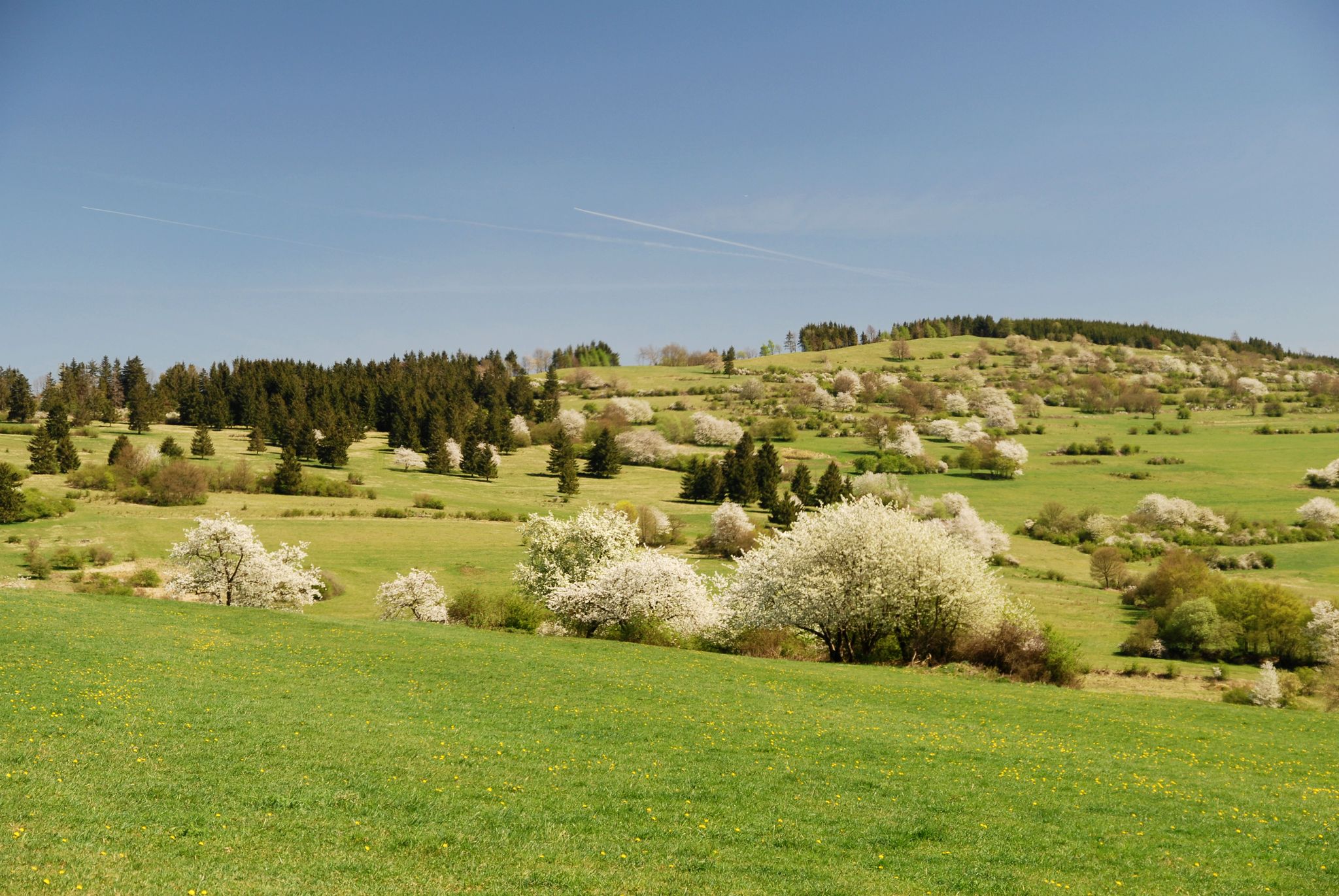
Extra tours North - excellent premium hiking trails of Rhön
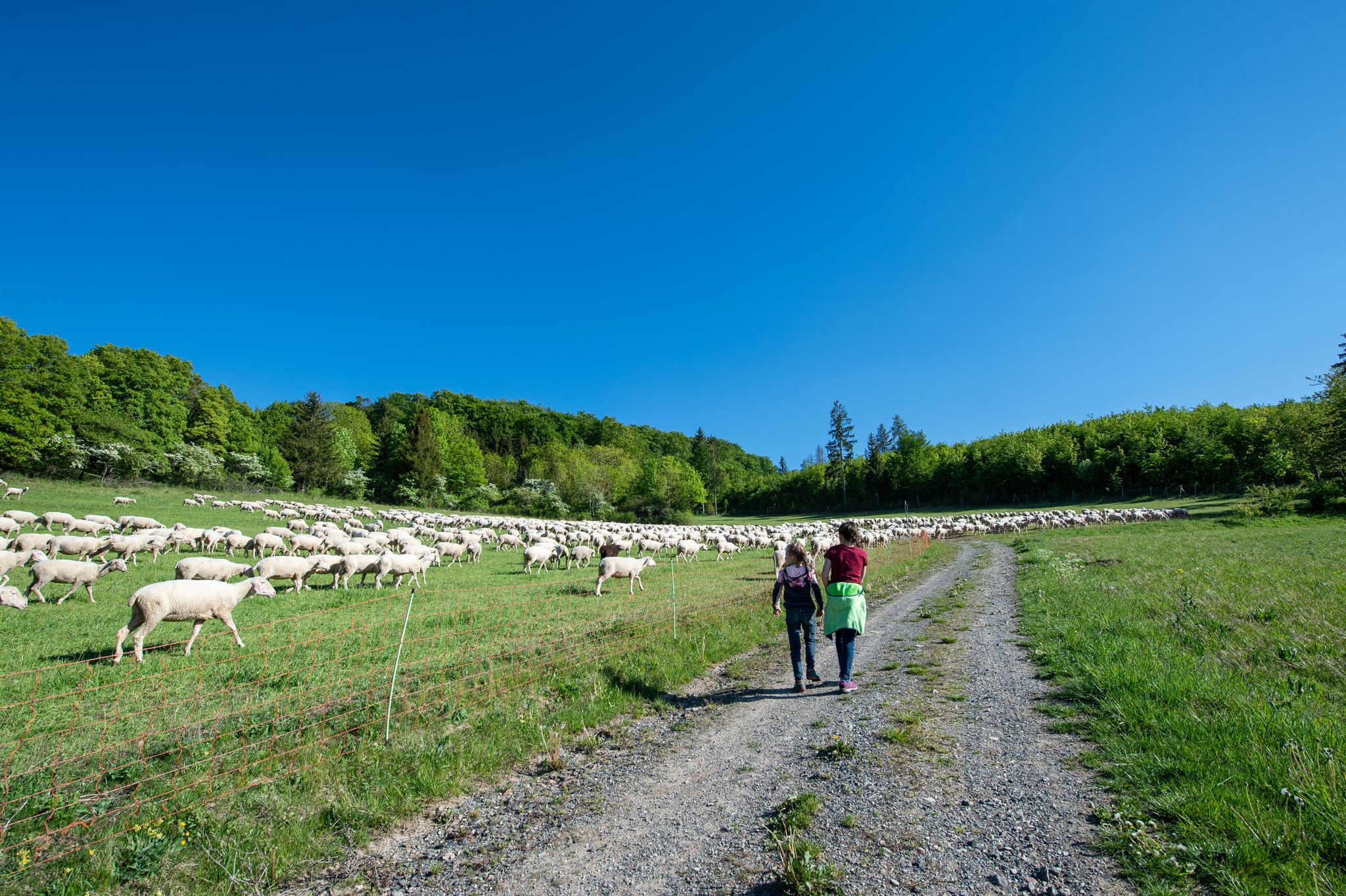
Family paths - on the way with kids in the Rhön
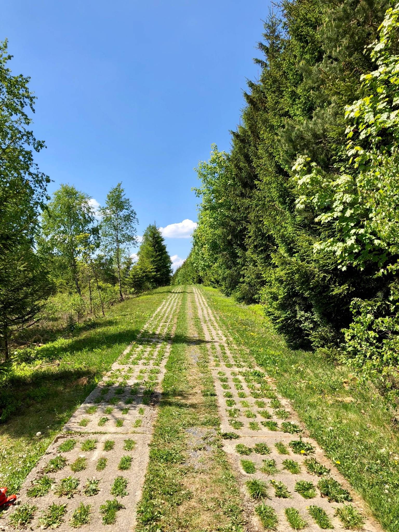
Experience history – day Tours at the Green Belt in Thuringia

Discover the nature along the “Greenbelt” together with the BUND
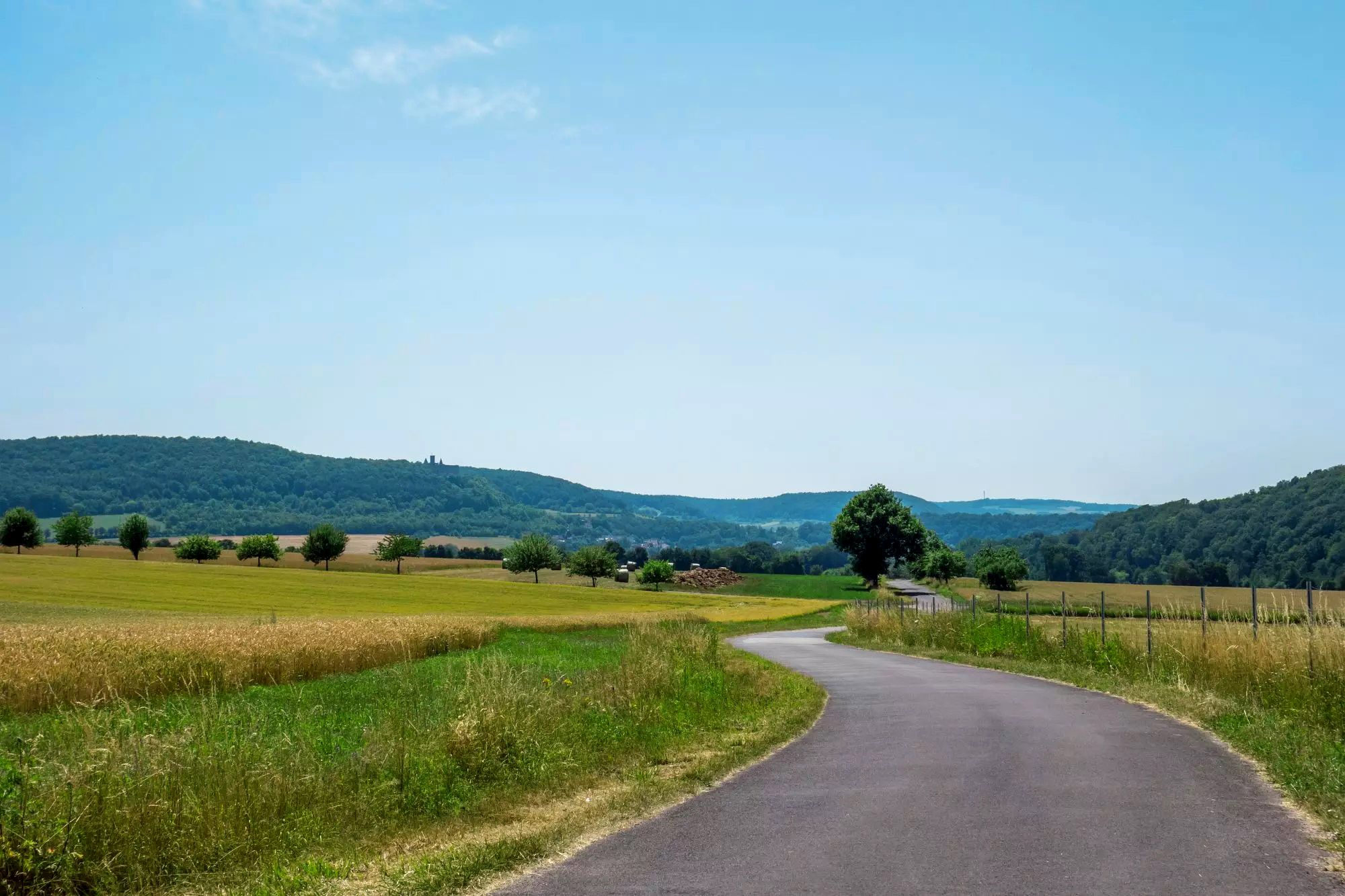
Rhön Cycleway in Germany – Cycling in the Land of Open Distances
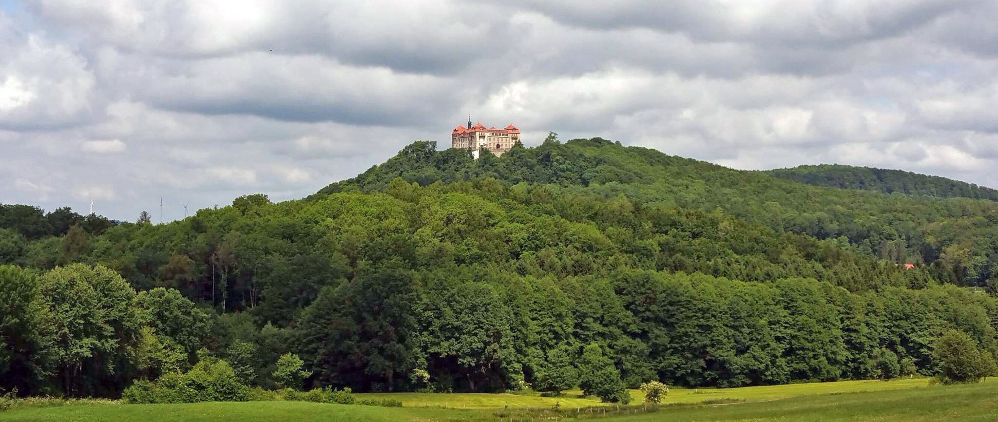
BahnRadweg Hessen — castles, palaces & beautiful nature
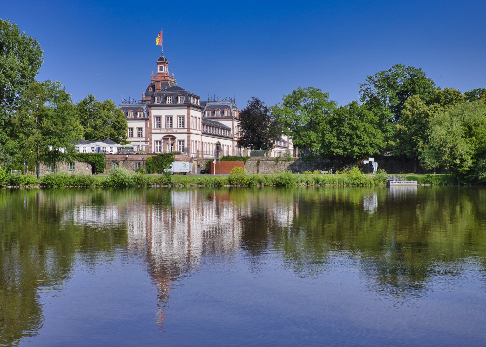
Rad-Kurzurlaube im RMV – Einfach mal raus!
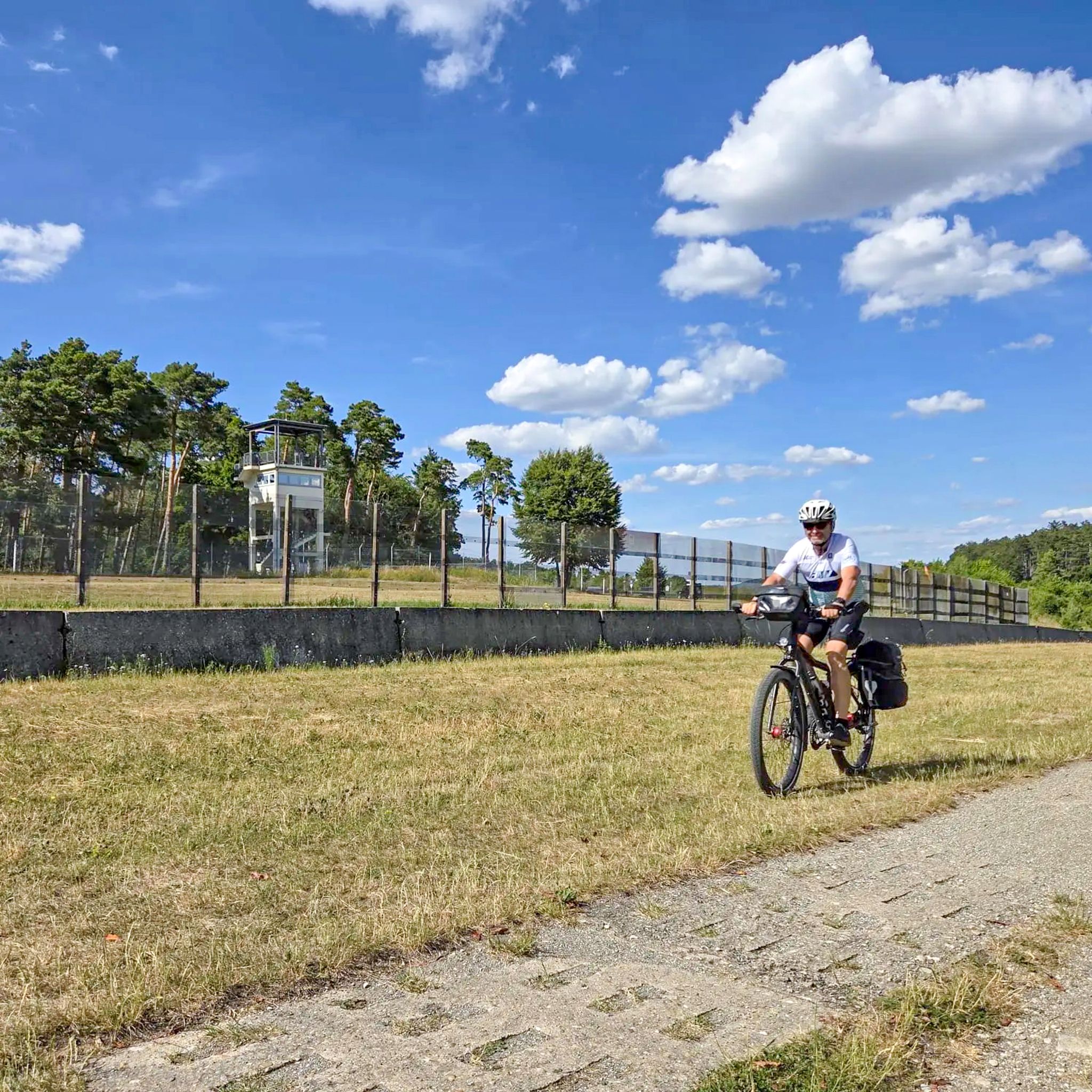
Radtouren zum Tag der Deutschen Einheit – Unterwegs im Fulda-Gap
Other adventures around Geisa


Tips from the Community

Small adventure trail for children (just not after heavy rain)
0
0

In the background, you can see the Rhön Biosphere Reserve.
1
0
After the "fall of the Wall" on November 9, 1989, there were even around 6000 dogs that suddenly became orphaned due to their unemployment and thus uselessness. Previously, they had been part of the GDR's border protection as so-called 'Mauerhunde' (wall dogs). The German Shepherd was particularly popular as a wall dog, although other large shepherd dogs, Rottweilers, Great Danes, and Giant Schnauzers were also trained. Their task was to guard at difficult-to-access or unclear border sections and to alert republic fugitives so that the border patrol could catch them. For this purpose, dog runs were created, in which the animals moved on a leash about 5 meters long, which in turn was attached to a 70 to 100 meter long wire rope. Source: https://gudog.de/blog/passierte-mit-den-mauerhunden-nach-der-wiedervereinigung
1
0
The „Path of Hope“ consists of 14 monumental figures by the artist Dr. Ulrich Barnickel, which are based on the biblical Way of the Cross. They are set up along the death strip at the former border and connect the Christian aspect with the experiences of people at the inner-German border. The artwork commemorates the resistance against the communist dictatorships of Central and Eastern Europe, under which people suffered for decades.
1
0
The Jewish community in Geisa had a cemetery since the second half of the 18th century, which was expanded in 1857. The older part of the cemetery is located on a wooded slope with 27 still recognizable gravestones. The number of burials is estimated at around 200.
1
0
The Ulstertal with its wonderfully original low mountain landscape is a gem in the heart of the Kuppenrhön.
1
0
As early as the 19th century, the Rhönklub branch Geisa created this path as a panoramic trail – the name says it all: the path winds its way along a narrow strip on the slope towards Geisa – a scenically attractive, natural passage between deciduous forest and valley views.
1
0

Unfortunately, we can only look from the outside because the gate is closed (chain)... February 2026
0
0
Frequently Asked Questions
How many hiking trails are accessible from bus stations around Geisa?
There are over 80 hiking trails around Geisa that are easily accessible from local bus stations. These routes offer a diverse range of experiences, from leisurely strolls to more challenging day hikes, all within reach of public transport.
Are there easy, family-friendly hiking trails accessible from Geisa's bus stations?
Yes, Geisa offers several easy, family-friendly options. The region is known for routes like the "Geisböckchenweg" which is perfect for families. An excellent choice accessible by bus is the Point Alpha Memorial – View of the Rhön Highlands loop from Geisa, an easy 6.5 km route that combines natural beauty with historical significance.
Can I bring my dog on the hiking trails around Geisa?
Many trails in the Rhön Biosphere Reserve, including those around Geisa, are dog-friendly. However, it's always recommended to keep your dog on a leash, especially in nature protection areas and near livestock. Always carry waste bags and ensure your dog has enough water. Specific rules may apply in certain protected zones, so look for local signage.
Are there circular hiking routes starting near Geisa's bus station?
Absolutely. Many of the trails around Geisa are designed as circular routes, allowing you to start and end your hike conveniently at the same point, often close to a bus stop. For example, the Geisa Town Hall – Jewish Cemetery Geisa loop from Geisa is a moderate 10 km circular route that starts and finishes in the town.
What kind of landscapes and scenic views can I expect on these bus-accessible hikes?
The trails around Geisa offer a rich variety of landscapes, situated between the rolling hills of the Rhön Biosphere Reserve and the Thuringian Forest. You can expect breathtaking views from spots like the "Spahler Höhen" along the historic Green Belt, picturesque river meadows in the Ulsteraue, and expansive vistas of the Rhön Highlands. The Rhön views at the "Spahler Höhen" - hiking along the Green Belt route is particularly renowned for its scenery.
What historical or cultural attractions can I explore along the hiking trails?
Geisa's trails often combine natural beauty with significant historical sites. A prominent example is the Point Alpha Memorial – View of the Rhön Mountains loop from Geisa, which takes you past the former US observation post Point Alpha, a poignant Cold War memorial. You can also discover local castles like Geisa Castle or the Tann Castle, and various other historical landmarks.
What is the best season for hiking around Geisa?
Geisa offers rewarding hiking experiences throughout the year. Spring brings blooming meadows, while summer provides lush green landscapes. Autumn is particularly beautiful with vibrant fall foliage, making it ideal for scenic walks. Even winter can be charming for hiking, especially on cleared paths, offering a serene and quiet atmosphere. Always check local weather conditions before heading out.
Are there places to eat or drink near the bus-accessible hiking trails?
Yes, Geisa town center, where many bus routes converge, offers various cafes and restaurants. Some trails may also pass by traditional inns or rest stops. It's always a good idea to check opening hours in advance, especially in smaller villages or during off-peak seasons. Consider packing snacks and drinks for longer routes.
What is the general difficulty level of the bus-accessible hikes in Geisa?
The hikes accessible from Geisa's bus stations cater to various fitness levels. You'll find a good mix of easy, moderate, and some more difficult routes. Approximately 36 routes are easy, 42 are moderate, and 8 are considered difficult. This ensures there's a suitable trail for everyone, from casual walkers to experienced hikers.
What do other hikers enjoy most about hiking in Geisa?
The area is highly rated by the komoot community, with an average score of 4.6 stars from over 10,000 ratings. Reviewers often praise the diverse landscapes, the well-maintained paths, and the unique combination of natural beauty with significant historical sites like Point Alpha. The accessibility by public transport is also frequently highlighted as a major advantage.
Are there any specific permits or rules for hiking in the Rhön Biosphere Reserve?
As Geisa is located within the Rhön Biosphere Reserve, hikers are encouraged to respect the natural environment. Generally, no specific permits are required for hiking on designated trails. However, always stay on marked paths, do not disturb wildlife, and take all your waste with you. Some areas might have specific regulations regarding dogs or access during certain seasons, so pay attention to local signage.
What if I prefer to drive? Is there parking available near the bus stations for trail access?
While this guide focuses on bus-accessible trails, if you prefer to drive, there is usually parking available in Geisa town center, often near the main bus station. From these parking areas, you can easily connect to the trails that also start from the bus stops. Always check for local parking regulations and fees.
Most popular routes around Geisa
Most popular attractions around Geisa

Get inspired with the komoot mobile app


Explore more
Browse the best Hikes in other regions.
