Easy hikes and walks around Geisa
4.6
(11694)
38,832
hikers
156
hikes
Easy hiking trails around Geisa traverse a landscape characterized by rolling hills, dense forests, and the cultural scenery of the Rhön Biosphere Reserve. The region features varied terrain, including paths along the Ulstertal Valley and around the Geisa reservoir. Elevations are generally moderate, with many routes offering views over the surrounding countryside.
Best easy hiking trails around Geisa
- The most popular easy hiking route is Family hiking trail Geisböckchenweg – with the kids in the Rhön, a 1.0 mile…
Last updated: October 4, 2026
1.69km
00:28
30m
30m
Easy hike. Great for any fitness level. Easily-accessible paths. Suitable for all skill levels.
4.8
(39)
133
hikers
6.56km
01:52
140m
140m
Easy hike. Great for any fitness level. Easily-accessible paths. Suitable for all skill levels.

4.5
(27)
80
hikers
5.53km
01:45
220m
220m
Easy hike. Great for any fitness level. Easily-accessible paths. Suitable for all skill levels.
4.5
(24)
69
hikers
4.62km
01:25
170m
170m
Easy hike. Great for any fitness level. Easily-accessible paths. Suitable for all skill levels.
4.7
(12)
83
hikers
4.06km
01:04
30m
30m
Easy hike. Great for any fitness level. Easily-accessible paths. Suitable for all skill levels.
Get access to more routes and recommendations from other explorers.
Already have an account?
Our route recommendations are based on thousands of hikes, rides, and runs completed by other people on komoot.
Start today with a free account
Your next adventure awaits.
Popular around Geisa

Wonderful Green Band
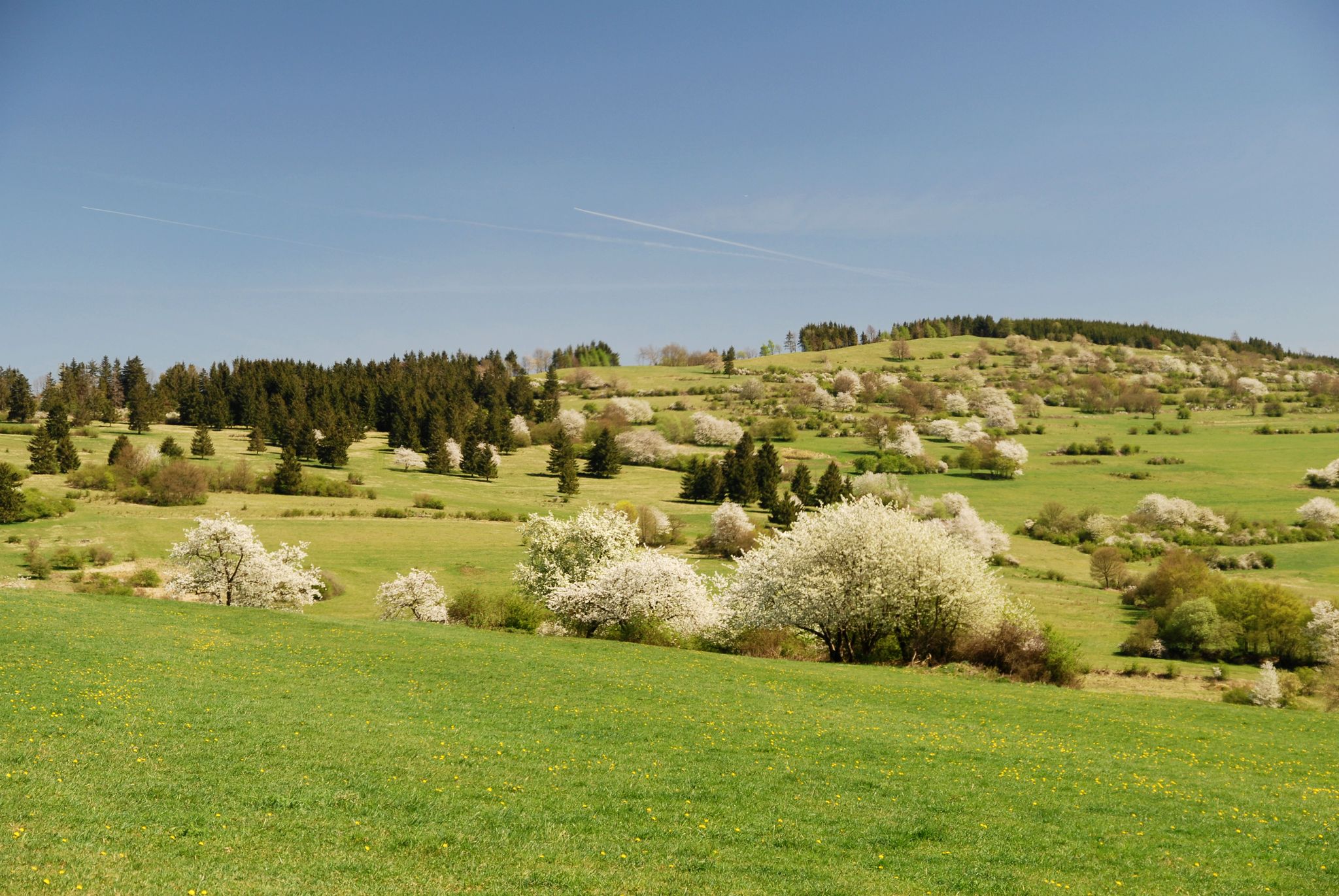
Extra tours North - excellent premium hiking trails of Rhön
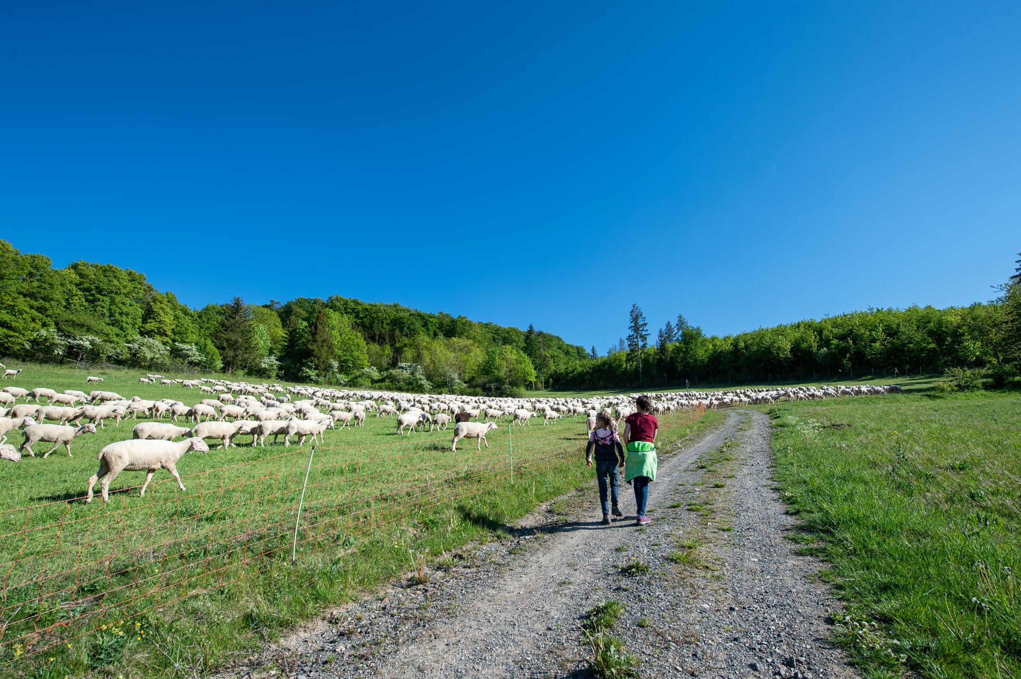
Family paths - on the way with kids in the Rhön
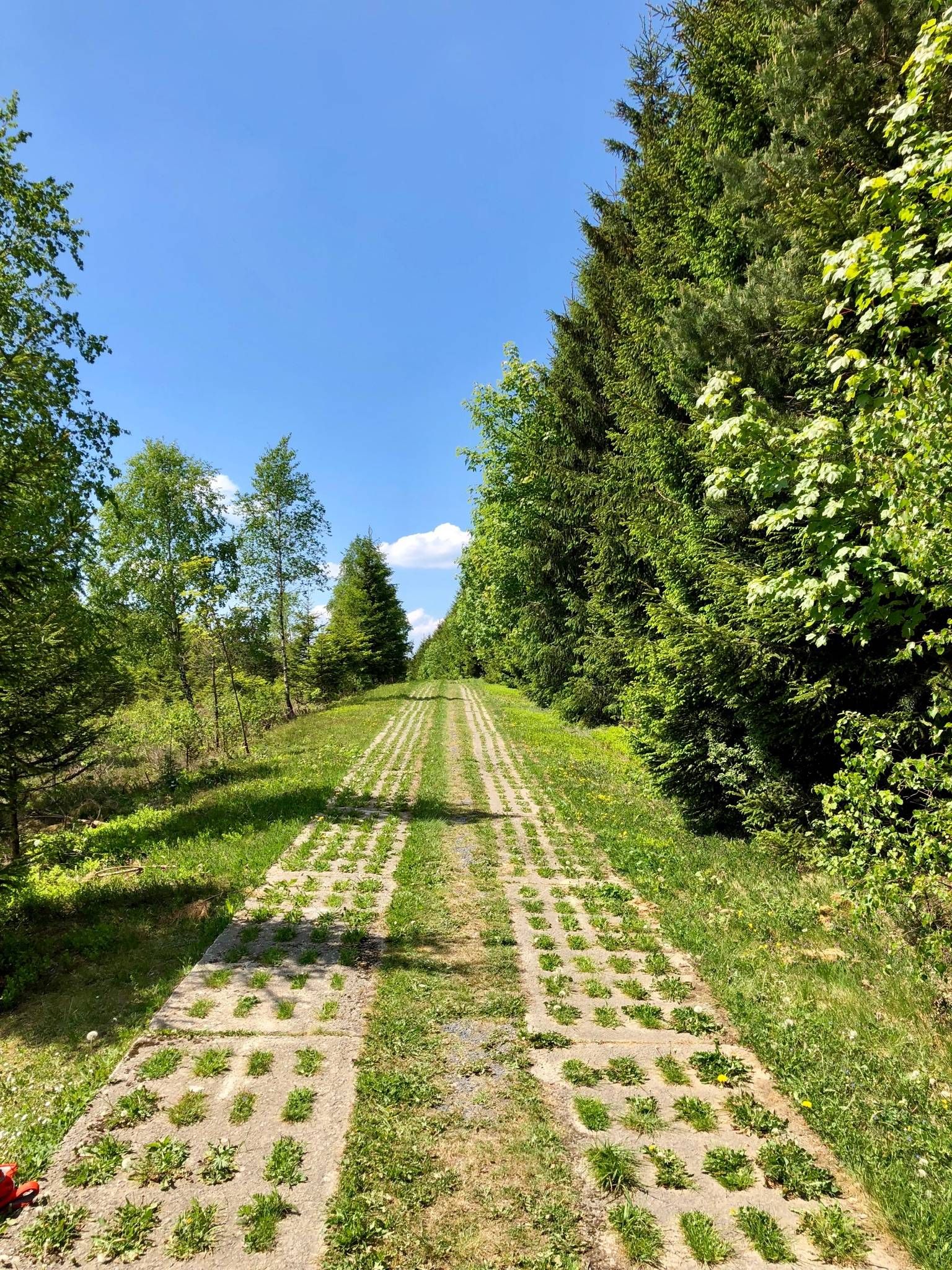
Experience history – day Tours at the Green Belt in Thuringia

Discover the nature along the “Greenbelt” together with the BUND
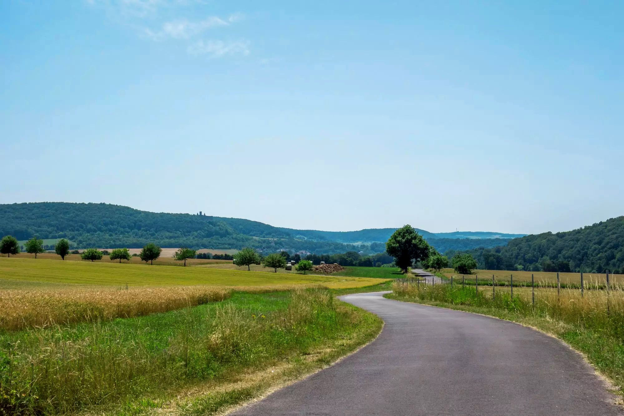
Rhön Cycleway in Germany – Cycling in the Land of Open Distances
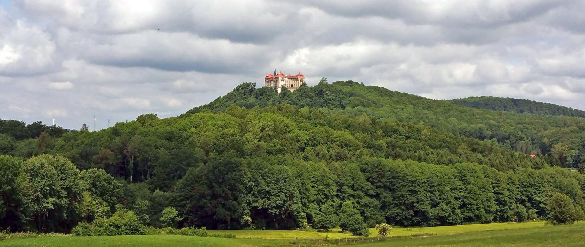
BahnRadweg Hessen — castles, palaces & beautiful nature
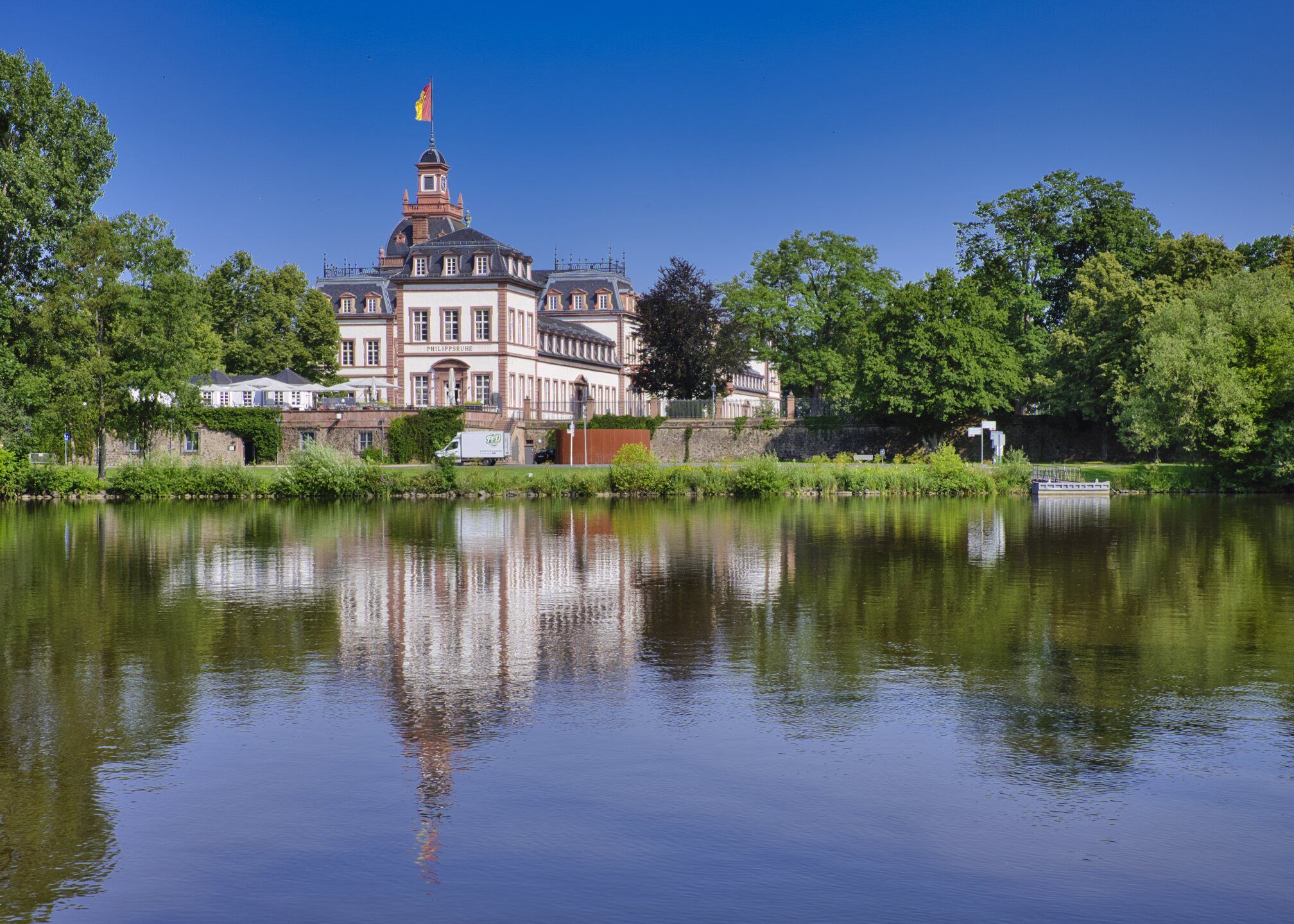
Rad-Kurzurlaube im RMV – Einfach mal raus!
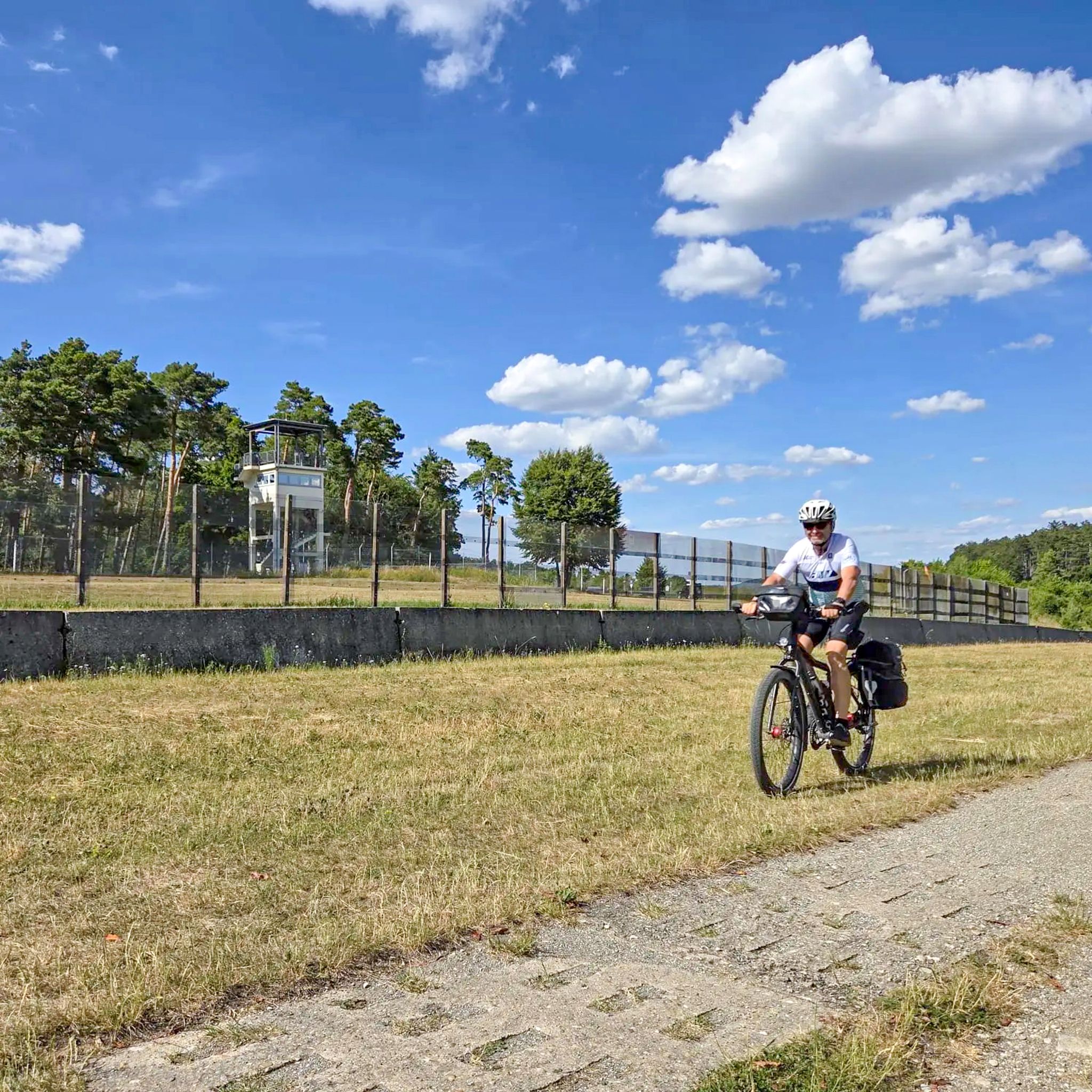
Radtouren zum Tag der Deutschen Einheit – Unterwegs im Fulda-Gap
Other adventures around Geisa


Tips from the Community

This was extremely frightening and cruel in its time.
0
0

In the background, you can see the Rhön Biosphere Reserve.
1
0
After the "fall of the Wall" on November 9, 1989, there were even around 6000 dogs that suddenly became orphaned due to their unemployment and thus uselessness. Previously, they had been part of the GDR's border protection as so-called 'Mauerhunde' (wall dogs). The German Shepherd was particularly popular as a wall dog, although other large shepherd dogs, Rottweilers, Great Danes, and Giant Schnauzers were also trained. Their task was to guard at difficult-to-access or unclear border sections and to alert republic fugitives so that the border patrol could catch them. For this purpose, dog runs were created, in which the animals moved on a leash about 5 meters long, which in turn was attached to a 70 to 100 meter long wire rope. Source: https://gudog.de/blog/passierte-mit-den-mauerhunden-nach-der-wiedervereinigung
1
0
On January 1, 2008, the cross-border Point Alpha Foundation was established. The foundation's goal is to profile the Point Alpha Memorial as a place of remembrance of German division, as well as a place for documentation and research of the Cold War in Europe. In addition to the care and preservation of the memorial, the foundation sees the development of continuous educational and research work as one of its main areas of focus. With the appointment of the full-time board on December 1, 2008, the foundation became operational. The foundation's capital came from the federal government, the states of Hesse and Thuringia, the Fulda district and the Wartburg district, as well as the city of Geisa and the municipality of Rasdorf. Quelle: https://www.pointalpha.com/stiftung/
2
0
On the southeast corner is the almost ten-meter-high tower, popularly known as "Diebstürmchen", which is equipped with several loopholes. Previously, the Diebstürmchen was three stories high, the basement was filled in, and the middle story was connected to the city wall with a rampart walk.
1
0

These boundary stones were erected in the 18th and 19th centuries to clearly define property, tax, and judicial boundaries. SW = Grand Duchy of Saxe-Weimar-Eisenach PK = Kingdom of Prussia
0
0

View of the Rhön mountains from Geisa.
0
0
Facility located on the former border.
0
0
Frequently Asked Questions
How many easy hiking trails are available around Geisa?
There are 71 easy hiking trails around Geisa, offering a wide range of options for all skill levels. The region features diverse landscapes, from rolling hills to dense forests, and paths along the Ulstertal Valley and around the Geisa reservoir.
What kind of terrain can I expect on easy hikes in Geisa?
Easy hikes in Geisa typically feature rolling hills, dense forests, and cultural landscapes within the Rhön Biosphere Reserve. You'll find well-maintained paths with generally moderate elevations, often providing scenic views over the surrounding countryside and the Ulstertal Valley.
Are there any family-friendly easy hikes in Geisa?
Yes, Geisa offers several family-friendly options. A popular choice is the Family hiking trail Geisböckchenweg, which is an easy circular route connecting to the historic old town. The region also features a 'Fairytale Hiking Trail' with characters, playgrounds, and picnic spots, perfect for younger adventurers.
What historical landmarks can I see on easy hikes near Geisa?
Many easy hikes in Geisa incorporate significant historical sites. The Point Alpha Memorial – View of the Rhön Highlands loop from Geisa passes by the pivotal Point Alpha Memorial, a former US observation post during the Cold War. Another route, the Friedenswind Sculpture – Point Alpha Memorial loop from Geisa, leads through the former inner-German border area, offering insights into the region's past.
Are there easy circular hiking routes around Geisa?
Yes, Geisa has several easy circular routes. The Point Alpha Memorial – View of the Rhön Highlands loop from Geisa and the Friedenswind Sculpture – Point Alpha Memorial loop from Geisa are both easy loops. Additionally, the Geisa reservoir offers an approximately 10-kilometer circular route through forests and past picturesque lake scenery.
What do other hikers say about the easy trails in Geisa?
The easy trails in Geisa are highly regarded by the komoot community, with an average rating of 4.7 out of 5 stars from over 1,000 reviews. Hikers often praise the well-maintained paths, the blend of natural beauty with historical insights, and the diverse landscapes of the Rhön Biosphere Reserve.
Are easy hikes in Geisa suitable for dogs?
While specific dog-friendly designations for every easy trail are not listed, the natural landscapes of Geisa, including its forests and open paths, are generally welcoming for dogs. Always ensure your dog is on a leash, especially in nature reserves or near wildlife, and carry waste bags. Check local signage for any specific restrictions.
What natural features can I expect to see on easy hikes?
Easy hikes around Geisa offer views of the Rhön Biosphere Reserve's impressive cultural landscapes, rolling hills, and dense forests. You can also explore picturesque lakescapes, such as the Geisa reservoir, and enjoy magnificent views over the Ulstertal Valley. Some routes may also feature viewpoints like the View to the north from Obergruben Saddle.
When is the best time of year for easy hiking in Geisa?
Geisa is suitable for easy hiking throughout much of the year. Spring and autumn offer pleasant temperatures and vibrant scenery, with blooming flowers or colorful foliage. Summer provides longer daylight hours, while winter can offer serene, snow-covered landscapes, though some paths might require appropriate footwear. Always check local weather conditions before heading out.
Are there any cafes or places to eat near the easy hiking trails in Geisa?
Geisa, as an idyllic town, offers amenities including cafes and pubs. Many trails, especially those connecting to the historic old town like the Geisböckchenweg, provide easy access to local establishments where you can refresh after your hike.
Are there any easy hikes that offer views of castles or other notable structures?
Yes, some routes in the broader Geisa area offer scenic views of historical structures. For instance, you might find viewpoints that offer a View of Bieberstein Castle, adding a historical dimension to your natural exploration.
Can I reach easy hiking trails in Geisa using public transport?
Geisa is a town with local public transport connections. While specific bus stops directly at trailheads vary, many easy routes start from or are accessible near the town center, making them reachable by public transport. It's advisable to check local bus schedules for the most convenient access points.
Most popular routes around Geisa
Most popular attractions around Geisa

Get inspired with the komoot mobile app


Explore more
Browse the best Hikes in other regions.
