The best traffic-free bike rides around Mellingen
4.5
(524)
2,056
riders
25
rides
No traffic touring cycling routes around Mellingen, Thuringia, are characterized by a mix of river valleys, agricultural lands, and forested areas. The region offers varied terrain, from gentle riverside paths to more undulating sections through the countryside. Cyclists can explore the Ilm river valley and surrounding landscapes, which include open fields and wooded stretches. This diverse environment provides a range of natural settings for touring cyclists.
Best no traffic touring cycling routes around Mellingen
- The most popular no traffic touring…
Last updated: June 28, 2026
4.8
(150)
556
riders
Easy bike ride. Great for any fitness level. Mostly paved surfaces. Suitable for all skill levels.
4.5
(34)
173
riders
130km
07:56
950m
950m
Hard bike ride. Very good fitness required. Mostly paved surfaces. Suitable for all skill levels.

Sign up for free
4.5
(19)
79
riders
23.2km
01:34
270m
270m
Moderate bike ride. Good fitness required. Mostly paved surfaces. Suitable for all skill levels.
4.5
(20)
62
riders
46.4km
03:02
500m
500m
Hard bike ride. Very good fitness required. Mostly paved surfaces. Suitable for all skill levels.
4.7
(116)
353
riders
Moderate bike ride. Good fitness required. Mostly paved surfaces. Suitable for all skill levels.
Get access to more routes and recommendations from other explorers.
Sign up for free
Already have an account?
Our route recommendations are based on thousands of hikes, rides, and runs completed by other people on komoot.
Start today with a free account
Your next adventure awaits.
Login or Signup
Popular around Mellingen
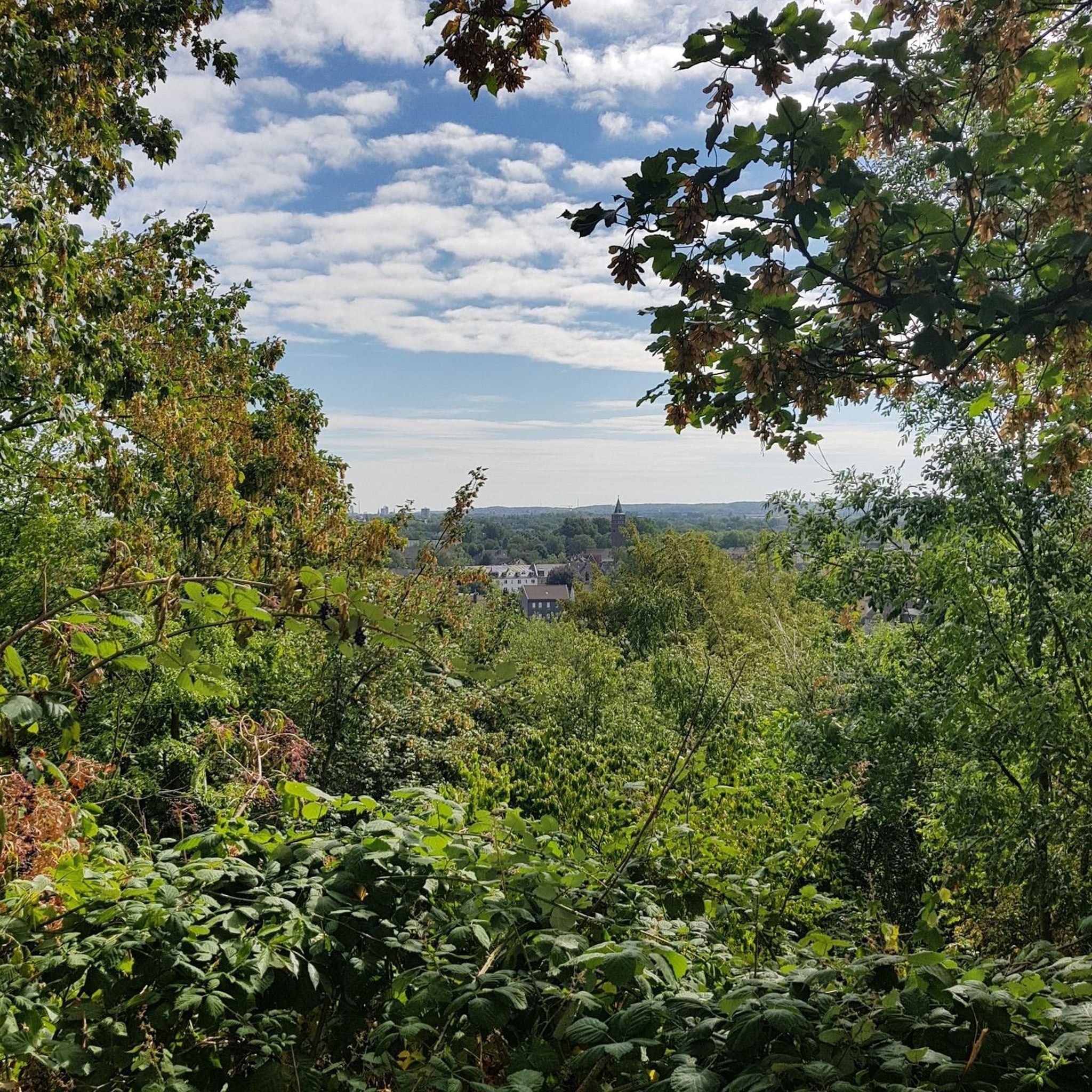
Tips from the Community

Great fire brigade in town.
0
0

Easy-to-ride cycle path, partly gravel, otherwise good asphalt...
0
0

🏞️ Landscape & Location - Buchfart lies directly on the Ilm River, nestled in a narrow valley with steep, wooded limestone slopes. - The surrounding area is ideal for hikes, especially to the Balsamine, a viewpoint at an altitude of 340 meters. - The Ilm River winds its way through the valley here and offers a spectacular display of colors in autumn. --- 🕰️ History - First documented mention: 1348, by the knight Lutolf von Heitingsburg. - The place name is derived from "Furt" and "Buchenwald" – hence "Buchfart." - The area was already settled in the Neolithic period, as archaeological finds confirm. - The Buchfart Castle, a castle complex in the limestone cliff above the town, is shrouded in legend and was explored by the mineralogist Georgius Agricola as early as 1551. --- 🏛️ Sights - Historic Water Mill: The Pfeiffer Mill has been lovingly restored and now houses a meeting center for millers, a farm shop, and even a small village brewery. - Ilm Bridge: An old stone bridge connects the village districts and is a popular photo opportunity. - Village Church: Simple yet charming – a place of peace and history. --- 🧙♂️ Legends & Myths - The Buchfarter Caves are the setting for numerous legends – from ghosts guarding treasures to little men who lead bricklayers into underground passages. - The Schlossberg is also shrouded in legend and offers exciting stories for curious hikers.
0
0

Great wooden bridge 🤩. But be careful, it's still busy in places.
16
0
The Buchfarter Felsenburg, located on the steep shell limestone slope of the Illm River, is the only structure of its type in Central Germany and of particular cultural and historical significance. It was originally a castle complex belonging to the Counts of Orlamünde. Around the 12th century, 12 chambers of varying sizes were carved into the steep rock face in a row extending approximately 110 meters in length and at a height of 40 meters above the Illm River. The chambers were connected by a Romanesque hillside wall. Some wall remains and a round-arched doorway are still visible today. The rock castle had no military significance in the late Middle Ages. However, it served as a fully developed, impregnable refuge for a long line of counts, dukes, and electors.
18
0

A wonderful section of the cycle path where you'll gladly take advantage of such a well-maintained rest area.
0
0

Ilm cycle path towards Ziegengraben, very nice to cycle here.
0
0
The viaduct has a total length of 201.30 meters, has 13 arches, and is 18 meters high. It was considered one of the largest railway bridges at the time. The keystone was laid on June 28, 1893, in the presence of the Princely Couple of Schwarzburg-Rudolstadt and other guests of honor.
1
0
Frequently Asked Questions
How many no traffic touring cycling routes are available around Mellingen?
There are over 25 dedicated no traffic touring cycling routes around Mellingen, offering a variety of distances and difficulty levels. This includes 6 easy routes, 11 moderate, and 8 more challenging options for experienced cyclists.
What is the best time of year for no traffic touring cycling in Mellingen?
The months of April and May are particularly popular for cycling in Mellingen, suggesting favorable weather conditions for exploring the region's no traffic routes. The pleasant temperatures and blooming landscapes make it an ideal time for touring.
What kind of terrain can I expect on these no traffic routes?
The no traffic routes around Mellingen offer diverse terrain. Many routes follow the Reuss River, providing pleasant riverside paths. The broader region features hilly terrain and extensive forests, so you can expect a mix of flat sections along the river and gentle climbs through woodlands, offering varied scenery.
Are there any circular no traffic touring routes?
Yes, many of the no traffic touring routes around Mellingen are designed as circular loops, allowing you to start and end at the same point. An example is the challenging Buchfart Watermill – Ilmtal Cycle Path loop from Mellingen (Thür), which offers a substantial ride.
Are there easy no traffic touring routes suitable for beginners?
Absolutely. Mellingen offers 6 easy no traffic touring routes perfect for beginners or those seeking a relaxed ride. A good option to start with is the Goethe's Garden House – Weimar Market Square loop from Mellingen (Thür), which is just under 19 km with minimal elevation gain.
What natural features can I see along the no traffic touring cycling routes?
Many routes follow the picturesque Reuss River, known for its 'green oasis' feel with jungle-like banks and islands. You might also encounter various ponds and lakes, such as the Dreiteichsgrund Ponds or Frieden Pond in the Herressener Promenade, offering tranquil spots for a break.
Are there historical landmarks or cultural sights to visit on these routes?
Yes, Mellingen's medieval old town, with its clock tower and Lenzburg Gate, is a charming cultural interlude. The Dominiloch Footbridge over the Reuss River offers views of the St. Martin monastery. Nearby Baden also features a cozy old town and a wooden bridge, which can be incorporated into longer tours.
Are the no traffic touring routes around Mellingen suitable for families?
Many of the easy and moderate no traffic routes are suitable for families, especially those that follow the Reuss River on well-maintained paths. The absence of car traffic makes for a safer and more enjoyable experience for all ages. Consider routes with lower elevation gains for younger riders.
Where can I find places to rest or eat along the no traffic routes?
While specific cafes and guesthouses vary by route, the region around Mellingen, including its medieval old town, offers various amenities. For longer rides, you might find huts like Forsthaus Jena or St. Hubertus Hut in Kohlgrund, which can serve as resting points.
Is parking available near the starting points of these routes?
Parking is generally available in and around Mellingen, particularly near the town center or designated recreational areas. It's advisable to check local signage for specific parking regulations and availability before your tour.
Can I reach the starting points of these routes by public transport?
Mellingen is well-connected within the canton of Aargau, making it accessible by public transport. This allows cyclists to reach various starting points for the no traffic routes, offering flexibility for one-way trips or accessing routes further afield.
What do other touring cyclists enjoy the most about touring cycling in Mellingen?
The area is highly rated by the komoot community, with an average score of 4.4 stars from over 470 ratings. Reviewers often praise the diverse scenery, from tranquil riverside paths to forested hills, and the opportunity to explore historical towns like Mellingen without vehicle traffic.
Most popular routes around Mellingen
Most popular attractions around Mellingen

Get inspired with the komoot mobile app


Explore more
Browse the best Cycling routes in other regions.
