The best traffic-free bike rides around Bingen
4.3
(345)
1,646
riders
10
rides
No traffic touring cycling routes around Bingen offer diverse landscapes at the confluence of the Rhine and Nahe rivers. The region features rolling hills, expansive vineyards, and river floodplains, particularly within the UNESCO World Heritage Upper Middle Rhine Valley. Further inland, the Hunsrück mountains and Binger Forest provide varied terrain. This area is characterized by its significant waterways and elevated viewpoints like Rochusberg.
Best no traffic touring cycling routes around Bingen
- The most popular no traffic touring cycling route is…
Last updated: June 28, 2026
5.0
(2)
15
riders
Moderate bike ride. Good fitness required. Mostly paved surfaces. Suitable for all skill levels.
5.0
(1)
26
riders
19.6km
01:14
120m
120m
Easy bike ride. Great for any fitness level. Mostly paved surfaces. Suitable for all skill levels.

Sign up for free
2.0
(1)
5
riders
13.9km
00:55
130m
130m
Easy bike ride. Great for any fitness level. Mostly paved surfaces. Suitable for all skill levels.
3.5
(2)
4
riders
24.6km
01:39
280m
280m
Moderate bike ride. Good fitness required. Mostly paved surfaces. Suitable for all skill levels.
5.0
(2)
8
riders
28.7km
01:49
240m
240m
Moderate bike ride. Good fitness required. Mostly paved surfaces. Suitable for all skill levels.
Get access to more routes and recommendations from other explorers.
Sign up for free
Already have an account?
Our route recommendations are based on thousands of hikes, rides, and runs completed by other people on komoot.
Start today with a free account
Your next adventure awaits.
Login or Signup
Popular around Bingen
Tips from the Community

Beautiful paths along meadows and fields near the Lauchert 🌊 - Bittelschießer Täle 🏞🥾 - Bingen - LKR. Sigmaringen
0
0
The Bittelschießer Täle is a canyon-like, densely wooded breakthrough valley in the lower reaches of the Lauchert, west of Bingen in the Sigmaringen district of Baden-Württemberg. The canyon is only about 400 meters long, 20–60 m wide and up to 30 m high (another 24 m of river sediments down to the rock floor). It is a scenically attractive part of the "Flächenalb" and also a geologically particularly significant Quaternary geotop. From the Middle Ages to the 19th century, the canyon and the Lauchert were also economically and as manorial property significant. The narrow valley is just as popular with hikers and cyclists from far and wide as it is for walks and local recreation for the residents of the surrounding villages. Until the Mindel glaciation (~1 Ma), the Lauchert used its current riverbed, but flowed into the then Upper Danube about five kilometers earlier at "Rückhau", between Hitzkofen and Heudorf, which at that time followed a more northerly route from Scheer to Riedlingen. At the end of the Mindel glaciation, about 900,000 years ago, an ancient Danube broke through the small pass near "Bahnhof Hanfertal" (today part of Sigmaringen-Nord). It shortened its route to Riedlingen by using the Lauchert bed to then continue its then more northerly route to Riedlingen. In the middle Riss glaciation, about 200,000 years ago, glacial masses from the Alpine Rhine Glacier advanced northwards in the area around Sigmaringen in two cold phases via the then Upper Danube. The glacier fan reached its maximum advance in its second cold phase ("Vilsingen-Stand II", location still south of the present-day Danube) near "Hertenstein, Lauchert", Billafingen, Langenenslingen and Riedlingen. The glacial sediments were so thick that the Upper Danube and the Lauchert were dammed. The backwater of the Upper Danube reached at least as far as Tuttlingen, that of the Lauchert probably as far as Hausen an der Lauchert. The Lauchert valley between "Hanfertal" station and Hitzkofen, used by the Upper Danube before the Riss glaciation and further deepened by it, and then completely blocked by moraine debris by the glacial advances, was again freed and used by the Lauchert from glacial debris – with one exception: a large mass limestone rock of the "Liegenden Bankkalk" formation standing in the direct path was not bypassed as before (as, incidentally, also previously by an ancient Danube), .... Source: https://de.wikipedia.org/wiki/Bittelschie%C3%9Fer_T%C3%A4le
0
0
Burg Hornstein is the ruin of a hilltop castle on a spur-like rocky ridge above the Lauchert at around 630 m above sea level near the Bingen district of Hornstein in the Sigmaringen district of Baden-Württemberg. It was first mentioned in 1244. The castle was imperial immediate property, and its first documentary mention dates back to 1244. Before that, the Lords of Hornstein, mentioned as early as the 11th century, probably resided in a castle in the Hornstein area. As the ancestral seat of the noble family of Hornstein of the same name, the castle experienced several construction phases until it was converted into a stately Baroque palace around 1700. In 1787, the Hornsteins sold their property to the Princes of Hohenzollern-Sigmaringen. In 1818, the Prince of Hohenzollern-Sigmaringen decreed that a Hohenzollern "house of correction and reformatory" should be established in the castle. After the conversion, the institution began operation on December 14, 1818. The institution's regulations also stipulated that "lunatics" were to be admitted. In 1850, the Hohenzollern principalities were incorporated into Prussia. The Prussian state continued to run the institution, and in 1859 it became a penal and correctional institution for men. The female inmates were transferred to Habsthal at the time. In 1869, the institution was closed. In 1873, the complex was sold for demolition, the buildings were demolished, and the walls were left to decay. Only the castle chapel, a Baroque gem, was preserved, where the Christian annual cycle is celebrated. From 1947 to 1962, the ruin was used as an open-air stage. Source: https://de.wikipedia.org/wiki/Ruine_Hornstein_(Bingen)
1
0

The Lauchertal is a gentle meadow valley in which the Lauchert meanders strongly. I find it so calming, soothing in its seclusion and "peacefulness" every time. Peaceful and simple bike route without big climbs
0
1

The Bittelschießer Täle is a few meters away from the Fäulesloch hiking parking lot. It is very natural. The path leads along the Lauchert and past numerous rock formations to the Bittelschießer Cave.
0
0

The leafless tree isn't standing on the Danube, but on the Lauchert.
0
0

Barbecue and run into the stream.
0
0

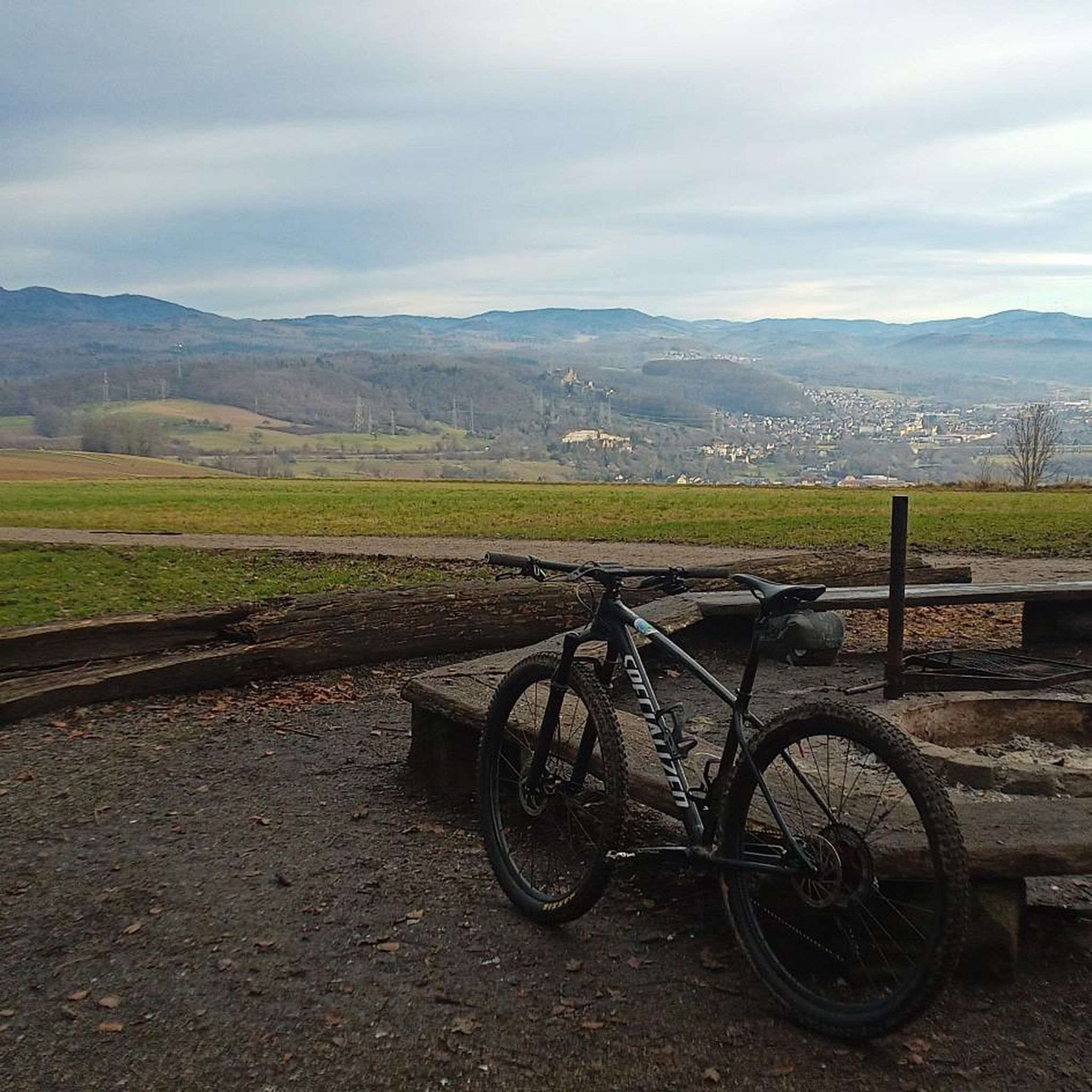
The barbecue area looks well-maintained. When I was there, the hut was locked.
0
0
Frequently Asked Questions
How many no-traffic touring cycling routes are available around Bingen?
There are 9 dedicated no-traffic touring cycling routes around Bingen, offering a variety of experiences. These include 2 easy, 5 moderate, and 2 difficult routes, ensuring options for different skill levels.
What kind of landscapes can I expect on these car-free cycling routes near Bingen?
The no-traffic routes around Bingen offer diverse landscapes. You'll cycle through picturesque river floodplains along the Rhine and Nahe, past rolling hills covered in vineyards, and experience the dramatic scenery of the UNESCO World Heritage Upper Middle Rhine Valley. Some routes also venture towards the Hunsrück Mountains and Binger Forest, providing varied terrain.
Are there any easy, car-free touring cycling routes suitable for beginners in Bingen?
Yes, there are easy, car-free touring cycling routes perfect for beginners. For example, the Hornstein Castle Ruins – Lauchert Valley loop from Bingen (Hohenz) Hp is an excellent choice, offering a gentle ride of about 14 km with minimal elevation changes.
What are some notable attractions or landmarks I can see along the no-traffic cycling routes?
Many routes offer glimpses of historical landmarks and natural beauty. You might encounter impressive castles like Sigmaringen Castle or the Ruins of Gebrochen Gutenstein. The routes also pass through stunning natural features such as the Danube Valley in the Upper Danube Nature Park and the Inzigkofer caves and rock gate.
Are there any circular no-traffic cycling routes available around Bingen?
Yes, several no-traffic routes are designed as loops, allowing you to start and end in the same location. Examples include the challenging Sigmaringen Castle – Great Danube cycle path section loop from Bingen (Hohenz) and the moderate Hohmichele Celtic Burial Mound – Häussler Backdorf loop from Bingen (Hohenz).
What is the best time of year to enjoy no-traffic touring cycling in Bingen?
The best time to enjoy no-traffic touring cycling in Bingen is typically from spring to autumn. During these seasons, the weather is generally pleasant, and the vineyards offer beautiful scenery, especially in autumn when the leaves change color. The riverside paths are particularly enjoyable in warmer months.
What do other touring cyclists enjoy most about the no-traffic routes in Bingen?
The no-traffic touring cycling routes in Bingen are highly rated by the komoot community, with an average score of 4.57 stars from over 300 ratings. Reviewers often praise the peacefulness of the car-free paths, the stunning riverside views, and the opportunity to explore the region's rich history and vineyards without vehicle interference.
Are there any longer, more challenging car-free touring routes for experienced cyclists?
Absolutely. For experienced cyclists seeking a longer, more challenging car-free experience, routes like the Sigmaringen Castle – Great Danube cycle path section loop from Bingen (Hohenz) offer a substantial distance of over 140 km and significant elevation gain, providing a rewarding challenge.
Can I find routes that combine cycling with views of the Rhine and Nahe rivers?
Many of the no-traffic touring cycling routes in Bingen are designed to showcase the region's iconic rivers. You'll find numerous paths that run directly along the Rhine and Nahe, offering continuous scenic views of the water, vineyards, and historic towns. Bingen's location at their confluence makes this a central feature of the cycling experience.
Are there any routes that pass through the UNESCO World Heritage Upper Middle Rhine Valley?
Yes, Bingen is considered the gateway to the UNESCO World Heritage Upper Middle Rhine Valley, and several routes will immerse you in this globally recognized landscape. You'll cycle past dramatic rock formations, medieval castles, and expansive vineyards that define this romantic stretch of the Rhine.
Are there any routes that are particularly good for exploring vineyards?
The region around Bingen, including Rheinhessen and Rheingau, is famous for its vineyards. Many no-traffic routes wind through these areas, offering cyclists the chance to experience the wine culture firsthand. You'll cycle past vast vineyards, especially along the rolling hills, providing a beautiful backdrop for your tour.
Most popular routes around Bingen
Most popular attractions around Bingen

Get inspired with the komoot mobile app


Explore more
Browse the best Cycling routes in other regions.
