The best MTB trails around Ludesch
4.6
(129)
662
riders
17
rides
Mountain biking around Ludesch, nestled at the foot of the Alps, offers diverse terrain for cyclists. The region is characterized by majestic mountains, green forests, and river valleys, providing a range of routes from challenging climbs to more leisurely rides. Its varied topography includes steep mountain landscapes and paths along river banks, making it suitable for different skill levels. Ludesch is an ideal destination for exploring the natural beauty of the Bludenz district on two wheels.
Best mountain bike trails…
Last updated: October 5, 2026
4.8
(51)
260
riders
42.0km
04:25
1,510m
1,510m
Hard mountain bike ride. Very good fitness required. Advanced riding skills necessary. Some portions of the route may require you to push your bike.
4.6
(9)
53
riders
48.5km
04:00
1,130m
1,130m
Hard mountain bike ride. Very good fitness required. Advanced riding skills necessary.

4.9
(9)
54
riders
32.2km
03:51
1,380m
1,380m
Hard mountain bike ride. Very good fitness required. Advanced riding skills necessary. Some portions of the route may require you to push your bike.
4.5
(13)
57
riders
36.1km
03:09
810m
810m
Moderate mountain bike ride. Good fitness required. Advanced riding skills necessary.
4.4
(9)
49
riders
92.5km
07:21
2,020m
2,020m
Hard mountain bike ride. Very good fitness required. Advanced riding skills necessary.
Get access to more routes and recommendations from other explorers.
Already have an account?
Our route recommendations are based on thousands of hikes, rides, and runs completed by other people on komoot.

Tips from the Community

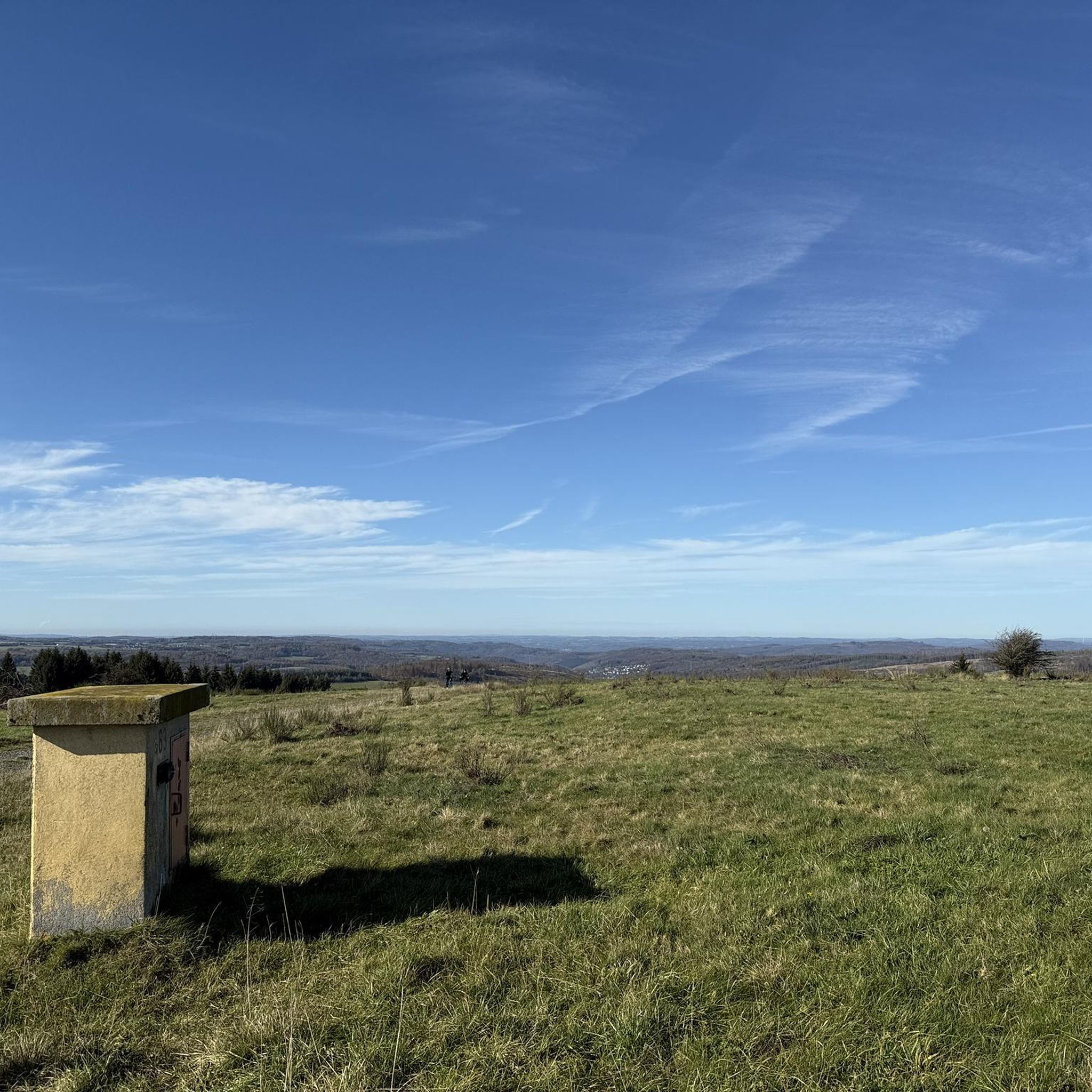
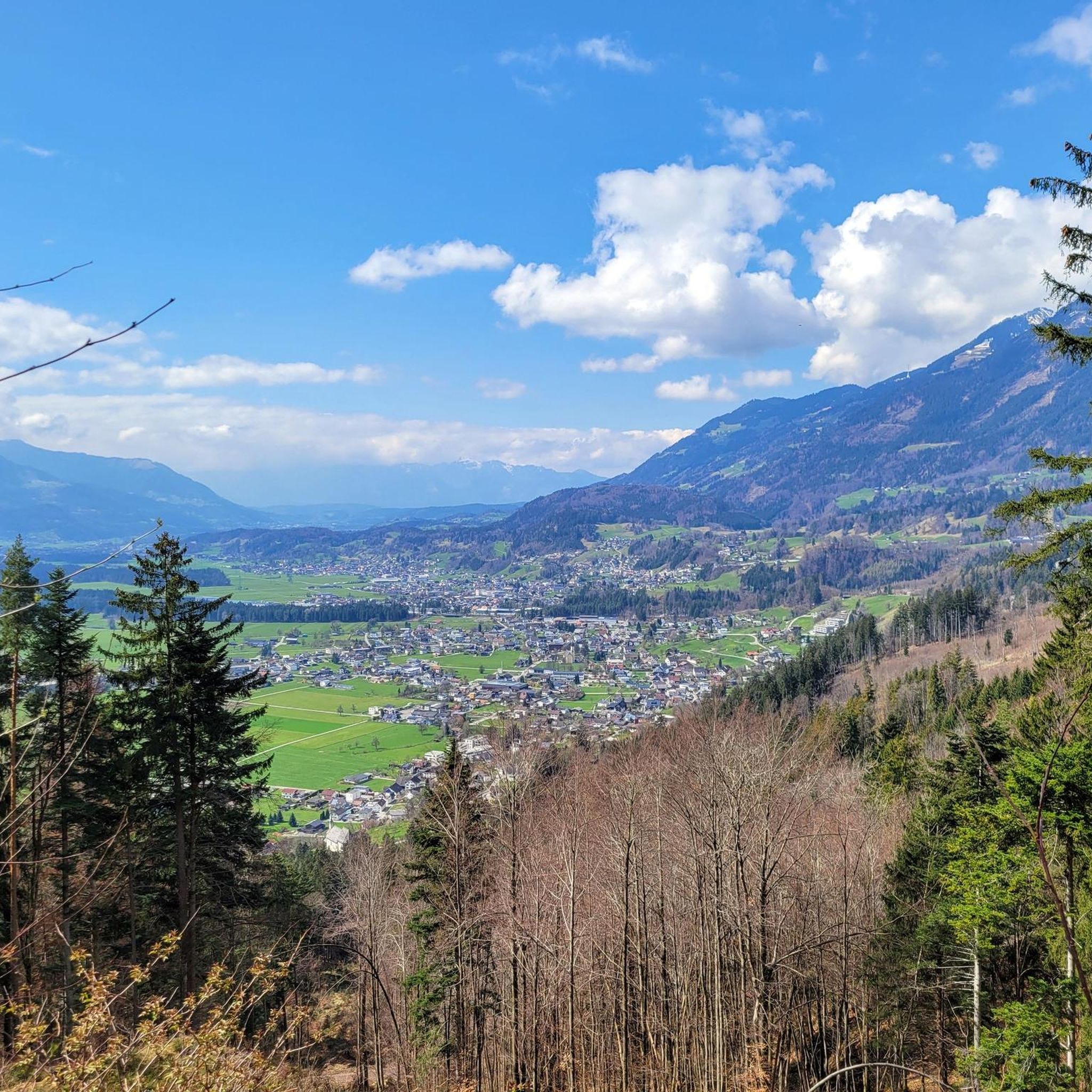
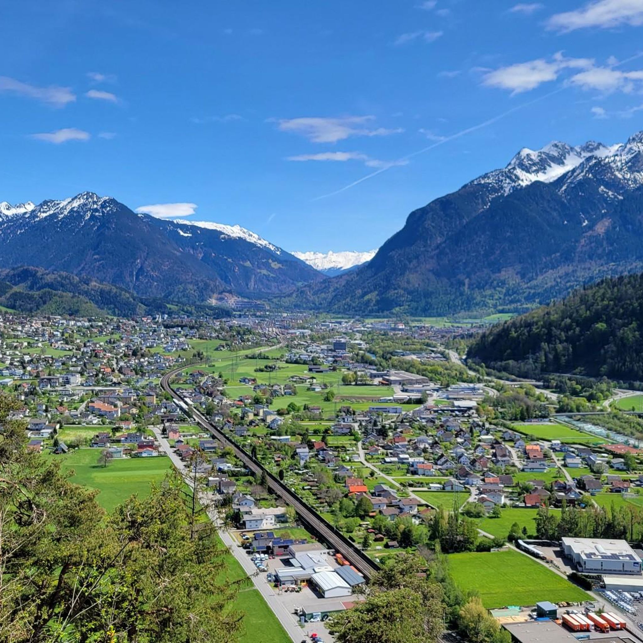
A wonderful view, with the panorama simply breathtakingly beautiful.
0
0

Beautiful small lake with many fish and dragonflies. Next to it an artwork from the AlpineArt round ("Feiger Hochstand")
0
0

The sulfur bath is not accepted; the facility is neglected and no longer usable
2
1

The Lutzuferweg is part of the Walserweg.
2
0
Nice guesthouse for a day trip. The rooms are historically simple, showers and toilets on the floor. The charm lies in the simplicity.
2
0
Nice guesthouse for a day trip. The rooms are historically simple, showers and toilets on the floor. The charm lies in the simplicity.
3
0

Montiola Weiher, Thüringen The Montjola-Weiher were created in 1837 for the use of water power for the textile industry in Thüringen. Besides that, the Montjola-Weiher have been a popular destination for excursions and a local recreation area. The Montjola-Weiher (also: Montjola-See or Montiola-Weiher, 686 m above sea level) are located on the Quadern high plateau in the municipality of Thüringen. The Montjola-Weiher were created in 1837 for the operation of the spinning and weaving mill founded by John Douglass and partners. In the 1980s, the ponds were dredged. In 2016, Montjola-Weiher II was renovated and redesigned for approximately 250,000 Euros[2] and the infrastructure was slightly expanded.[3][4] At the same time, a "Historical Experience and Educational Trail" was established, illustrating the long history of water power utilization for industry in Thüringen. A significant portion of the costs was funded through the LEADER action program of the European Union. In 2024, to relieve the ponds and as flood protection, an approximately 700-meter-long tunnel was laid using the Micromining method, which diverts the excess water of the Schwarzbach via the Schlosstobel into the Lutz. In spring 2025, the planting of the renatured pond took place with the participation of students from the Thüringen primary school. Text / Source: Austria-Forum https://austria-forum.org/af/AustriaWiki/Montjola-Weiher
14
0
Montiola Weiher, Thüringen The Montjola ponds were created in 1837 for the utilization of water power for the textile industry in Thüringen. In addition, the Montjola ponds have since been a popular destination for excursions and a local recreation area. The Montjola ponds (also: Montjola-See or Montiola-Weiher, 686 m above sea level) are located on the Quadern high plateau in the municipality of Thüringen. The Montjola ponds were created in 1837 for the operation of the spinning and weaving mill founded by John Douglass and partner. In the 1980s, the ponds were dredged. In 2016, Montjola pond II was renovated and redesigned for approximately 250,000 Euros[2], and the infrastructure was slightly expanded.[3][4] At the same time, a "Historical Experience and Educational Trail" was established, illustrating the long history of water power utilization for industry in Thüringen. A significant portion of the costs was funded through the European Union's LEADER action program. In 2024, a roughly 700-meter-long tunnel was laid using the micromining method to relieve the ponds and provide flood protection, diverting excess water from the Schwarzbach via the Schlosstobel into the Lutz. In the spring of 2025, planting of the renatured pond took place with the participation of students from the Thüringen elementary school. Text / Source: Austria-Forum https://austria-forum.org/af/AustriaWiki/Montjola-Weiher
14
0
Frequently Asked Questions
How many mountain bike trails are available around Ludesch?
Our guide features 18 mountain bike trails around Ludesch. These routes cater to various skill levels, with 10 moderate and 8 difficult options, ensuring a diverse experience for every rider.
Are there mountain bike trails suitable for beginners or families in Ludesch?
While Ludesch is known for its challenging terrain, our guide currently lists 10 moderate mountain bike trails that are suitable for riders with some experience. For those seeking a more leisurely pace, the region offers diverse paths along river banks, though specific beginner-focused MTB trails are not highlighted in this guide.
What kind of terrain can I expect on mountain bike trails in Ludesch?
Ludesch's mountain bike trails offer a diverse range of terrain, from challenging climbs through steep alpine landscapes to more leisurely rides along river banks. You'll encounter majestic mountains, green forests, and river valleys, providing varied surfaces and scenic views.
What are some of the longer mountain bike routes in the area?
For those looking for longer rides, the Spuller Lake – View of Spullersee loop from Ludesch is a challenging 57.7-mile (92.9 km) route. Another substantial option is the Montjola Pond – Bad Rothenbrunnen Inn loop from Ludesch, which covers 30.6 miles (49.3 km).
Are there any circular mountain bike routes starting from Ludesch?
Yes, all the mountain bike routes featured in this guide are circular loops that start and end in Ludesch. This makes planning your ride convenient, as you'll always return to your starting point.
What is the best time of year for mountain biking in Ludesch?
The best seasons for mountain biking in Ludesch are spring, summer, and autumn. Spring and summer offer pleasant temperatures and vibrant nature, while autumn provides an idyllic backdrop with forests showcasing beautiful colors, making for particularly scenic rides.
What do other mountain bikers say about the trails in Ludesch?
The mountain bike trails in Ludesch are highly rated by the komoot community, with an average score of 4.6 stars from over 110 reviews. Riders often praise the diverse terrain, challenging climbs, and the stunning natural beauty of the alpine landscapes and forests.
Are there any notable natural attractions or landmarks to see while mountain biking in Ludesch?
Yes, the region is rich in natural beauty. You might encounter impressive natural monuments like the Bürserschlucht Trail, a dramatic gorge sculpted by water and ice. The Netschelweg Trail and Waterfalls also offers scenic views and natural features.
Can I find trails that pass by waterfalls in the Ludesch area?
Yes, the Ludesch area features several beautiful waterfalls. The Netschelweg Trail and Waterfalls is a notable trail segment that offers scenic views of waterfalls. Other highlights include the Glingabrunn Waterfalls and the Sarotla Valley Waterfalls.
Are there any mountain peaks accessible or visible from the trails?
Absolutely. Ludesch is nestled at the foot of the Alps, offering breathtaking mountain views. You can see majestic peaks like the Mondspitze Summit Cross, known for its magnificent all-round views, and the Glatthorn Summit, the highest mountain in the Bregenzerwald.
Are there any specific trails that offer particularly scenic views?
Many trails in Ludesch offer stunning vistas. The Elsalpe – Scenic Trail to Els Alpe loop from Ludesch is specifically highlighted for its scenic journey through alpine landscapes. The region's varied topography ensures panoramic views throughout many routes.
Most popular routes around Ludesch
Most popular attractions around Ludesch

Get inspired with the komoot mobile app


Explore more
Browse the best MTB trails in other regions.
