The best city hikes and walks around Dettingen an der Erms
4.6
(31525)
120,319
hikers
28
hikes
Urban hiking trails around Dettingen an der Erms are situated at the foot of the central Swabian Alb, characterized by rolling hills and green forests. The region features the Erms River, which flows through the valley, and offers diverse natural features. This landscape provides a variety of paths suitable for exploring both natural and urban environments.
Best urban hiking trails around Dettingen an der Erms
- The most popular urban hiking route is View of Calverbühl – Hauserbrunnen Fountain loop from…
Last updated: August 21, 2026
13
hikers
Easy hike. Great for any fitness level. Easily-accessible paths. Suitable for all skill levels.
5.0
(3)
8
hikers
Moderate hike. Good fitness required. Easily-accessible paths. Suitable for all skill levels.

Sign up for free
1
hikers
Easy hike. Great for any fitness level. Easily-accessible paths. Suitable for all skill levels.
5.0
(1)
2
hikers
4.29km
01:08
40m
40m
Easy hike. Great for any fitness level. Easily-accessible paths. Suitable for all skill levels.
2
hikers
Easy hike. Great for any fitness level. Easily-accessible paths. Suitable for all skill levels.
Get access to more routes and recommendations from other explorers.
Sign up for free
Already have an account?
Our route recommendations are based on thousands of hikes, rides, and runs completed by other people on komoot.
Start today with a free account
Your next adventure awaits.
Login or Signup
Popular around Dettingen an der Erms


Tips from the Community


Originally there was a Romanesque church here, which was demolished in 1864, and then the Neo-Gothic church was built.
0
0


An insect hotel with a birdhouse on the other side.
0
0

A charming café with a great selection of cakes. You can spend your afternoon there with a good cup of coffee in a tasteful atmosphere. The owner is very hospitable. You can always find special events with music at Café Peschke on Instagram. I'll be happy to come back. 😍
0
0


A beautifully landscaped park on the Erms
0
0

The Calverbühl (also Calver Bühl, formerly Karpfenbühl) is a striking 509 m above sea level elevation south of Dettingen an der Erms in the district of Reutlingen. On the summit of the Calverbühl there is a linden tree that is clearly visible from afar. Until the Reformation in 1534 there was a chapel up here. The Calverbühl Chapel was a regular destination for the people of Dettingen on St. Mark's Day (April 25th) for a pilgrimage. The Calverbühl is a small volcanic vent of the Swabian Volcano. The rock is characterized by numerous lapilli. Geophysical measurements have shown that a strong geomagnetic anomaly occurs on the Calverbühl, which is caused by the ferromagnetic minerals (especially magnetite) present within the volcanic rock. In a recent publication, Otto Mäussnest mentions that the magnetism of the Calverbühl was increased by lightning strikes. The Calverbühl with the lime tree on the summit and the semi-dry grassland on the slopes is a protected natural monument and is also protected as a geotope under the name Calverbühl, about 1000 m south of Dettingen a. d. Erms on the western slope of the Ermstal. It is embedded in both the Reutlinger and Uracher Alb landscape conservation area and the Swabian Alb biosphere reserve.
0
0
Frequently Asked Questions
How many urban hiking trails are there in Dettingen an der Erms?
Dettingen an der Erms offers a good selection of urban hiking trails, with over 20 routes available. These range from easy strolls to more moderate walks, allowing you to explore the town and its immediate surroundings.
What is the best time of year for urban hiking in Dettingen an der Erms?
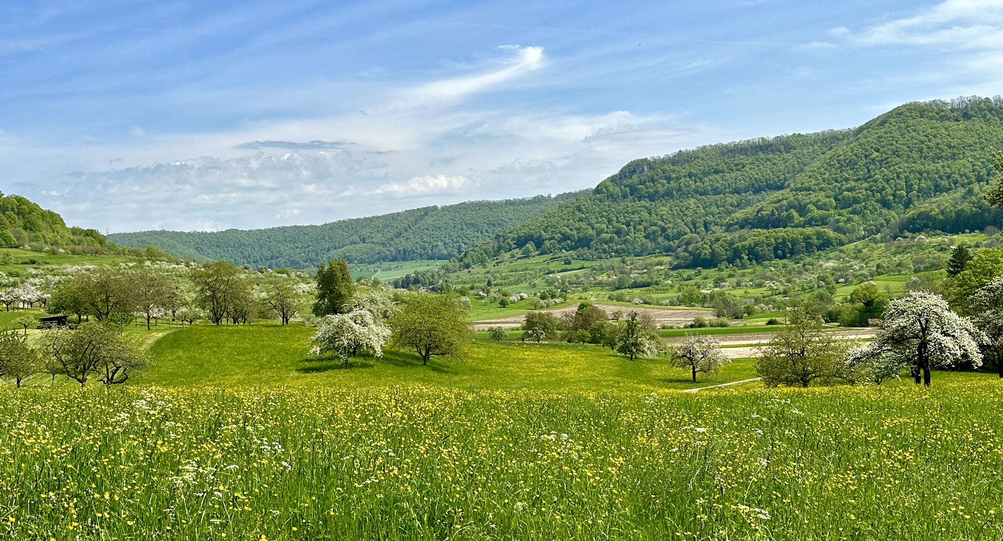
The best seasons for urban hiking in Dettingen an der Erms are typically spring and autumn. During these times, the weather is mild, and the natural surroundings display vibrant colors, making for a very pleasant experience. Spring brings cherry blossoms, especially around the Calverbühl area, while autumn offers beautiful foliage.
Are there easy urban hikes suitable for beginners in Dettingen an der Erms?
Yes, Dettingen an der Erms has many easy urban hiking options perfect for beginners. Out of the available routes, 19 are classified as easy. An example is the Middle Bakehouse, Dettingen – Book exchange at the bus stop loop from Goldland-Klausenberg, which offers a gentle walk.
Can I find urban hikes that pass by historical sites or landmarks?
Absolutely. Many urban hikes in the region offer glimpses of historical sites. While not directly within the urban core, the broader area features significant historical landmarks. For example, the Hohenurach Castle Ruins are a notable historical site nearby, and the 'Klosterweg' mentioned in regional research leads to the ruins of the former Bebenhausen monastery.
Are there urban hiking routes that include water features like rivers or waterfalls?
Yes, you can find urban hiking routes that incorporate water features. The Erms River flows through the area, and trails often follow its banks, offering scenic views. While the major waterfalls like Urach and Güterstein are a bit further afield, some urban routes, such as the Rapids on the Erms River – Middle Bakehouse, Dettingen loop from Goldland-Klausenberg, allow you to experience the river's presence.
Are dogs allowed on urban hiking trails in Dettingen an der Erms?
Generally, dogs are welcome on urban hiking trails in Dettingen an der Erms. It's always recommended to keep your dog on a leash, especially in populated areas or near wildlife, and to clean up after them. Always check local signage for any specific restrictions in certain areas.
Are there circular urban hiking routes available?
Yes, many urban hiking routes in Dettingen an der Erms are designed as circular loops, allowing you to start and end at the same point. An example is the View of Calverbühl – Hauserbrunnen Fountain loop from Goldland-Klausenberg, which offers a convenient round trip.
How long do urban hikes in Dettingen an der Erms typically take?
The duration of urban hikes in Dettingen an der Erms varies. Shorter, easy routes can take around 1 to 1.5 hours, while longer, moderate trails might take 3 hours or more. For instance, the Hiking loop from Goldland-Klausenberg is an easy route that takes approximately 1 hour and 8 minutes.
Are there options for parking near urban hiking trails?
Yes, parking is generally available near the starting points of many urban hiking trails in Dettingen an der Erms. Look for designated parking areas within the town or at the outskirts where trails begin. Specific parking information can often be found on individual route descriptions.
Can I reach urban hiking trails in Dettingen an der Erms using public transport?
Dettingen an der Erms is well-connected by public transport, making it possible to reach many urban hiking trails without a car. The town has bus stops that can serve as convenient starting points for various routes. Checking local bus schedules will help you plan your access to specific trailheads.
What do other hikers say about urban trails in Dettingen an der Erms?
The urban hiking trails in Dettingen an der Erms are highly regarded by the komoot community, with an average rating of 4.7 out of 5 stars. Hikers often praise the scenic views, the well-maintained paths, and the peaceful atmosphere that allows for a refreshing escape into nature right from the town.
Most popular routes around Dettingen an der Erms
Most popular attractions around Dettingen an der Erms

Get inspired with the komoot mobile app


Explore more
Browse the best Hikes in other regions.
