The best waterfall hikes and walks around Dettingen an der Erms
4.6
(31353)
120,251
hikers
67
hikes
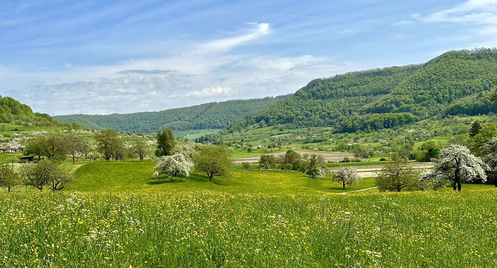
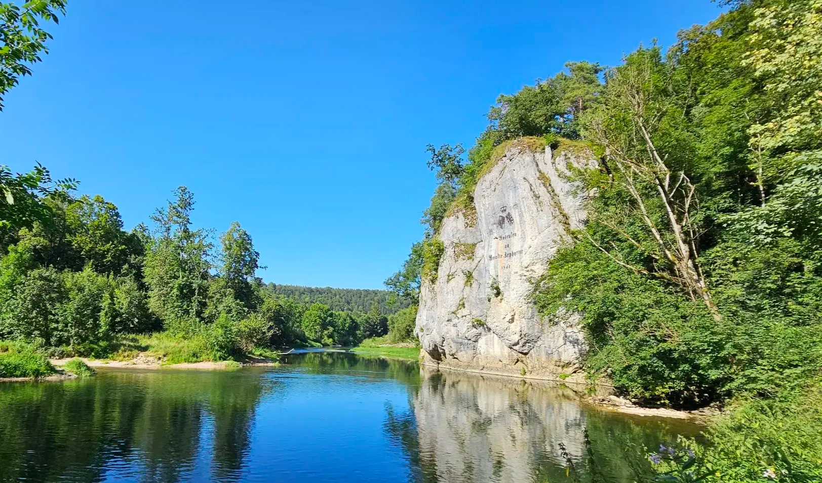
Waterfall hiking trails around Dettingen an der Erms are situated within the UNESCO Biosphere Reserve Swabian Alb, characterized by rolling hills, lush forests, and the Ermstal valley. The landscape features dramatic escarpments, plateaus, and unique rock formations, including limestone canyons. This geological setting provides diverse terrain for hikers seeking natural features like waterfalls.
Best waterfall hiking trails around Dettingen an der Erms
- The most popular waterfall hiking route is Güterstein waterfall – View of Hohenurach Castle loop from Dettingen Erms…
Last updated: August 19, 2026
4.8
(58)
207
hikers
Hard hike. Very good fitness required. Mostly accessible paths. Sure-footedness required.
4.7
(55)
186
hikers
Moderate hike. Good fitness required. Mostly accessible paths. Sure-footedness required.

Sign up for free
4.9
(19)
66
hikers
Hard hike. Very good fitness required. Mostly accessible paths. Sure-footedness required.
4
hikers
Moderate hike. Good fitness required. Mostly accessible paths. Sure-footedness required.
Get access to more routes and recommendations from other explorers.
Sign up for free
Already have an account?
Our route recommendations are based on thousands of hikes, rides, and runs completed by other people on komoot.
Start today with a free account
Your next adventure awaits.
Login or Signup
Popular around Dettingen an der Erms


Tips from the Community

Unfortunately very heavily frequented!
2
0

From the Rutschenfelsen, a great view of Bad Urach and Hohenurach ruin
0
0


A worthwhile destination at any time of year, whether hiking or cycling.
0
0

Here you can enjoy wonderful views of the impressive landscape.
2
0

A very beautiful path along the water. There's a lot to discover here.
1
0
The circular trail offers wonderful views throughout. This is one of many.
1
0

Frequently Asked Questions
How many waterfall hiking trails are there around Dettingen an der Erms?
There are over 60 waterfall hiking trails around Dettingen an der Erms, offering a wide range of experiences for different skill levels. You'll find everything from easy strolls to more challenging routes with significant elevation changes.
What are the difficulty levels of waterfall hikes in this region?
The trails vary significantly in difficulty. You can find around 9 easy routes, 48 moderate routes, and 10 difficult routes. This ensures there's a suitable option whether you're looking for a leisurely walk or a more strenuous adventure through the Swabian Alb's varied terrain.
What natural features can I expect to see on waterfall hikes near Dettingen an der Erms?
Beyond the impressive waterfalls, the region is rich in natural wonders. You can explore the unique limestone canyon of the Dettinger Höllenlöcher, experience the dramatic escarpments of the Albtrauf, and discover numerous caves within the UNESCO Biosphere Reserve Swabian Alb. The landscape is characterized by rolling hills and lush forests.
Are there any circular waterfall walks available?
Yes, many of the waterfall trails are designed as circular routes, allowing you to start and end at the same point. For example, the Güterstein waterfall – View of Hohenurach Castle loop from Dettingen Erms Mitte is a popular circular option, as is the Güterstein waterfall – View of Hohenurach Castle loop from Dettingen Erms Freibad.
What is the best time of year to visit the waterfalls?
The waterfalls, particularly the Urach Waterfall and Güterstein Waterfall, are especially stunning after heavy rain or snowmelt, typically in spring or late autumn. During these times, the water volume is at its peak, enhancing their natural beauty. However, the trails are enjoyable year-round, with each season offering a different charm.
Are the waterfall hiking trails suitable for families with children?
Many trails are suitable for families, especially the easier routes. The diverse landscape and natural features like the waterfalls and the Dettinger Höllenlöcher offer engaging experiences for children. Always check the specific route's difficulty and length to ensure it matches your family's capabilities.
Can I bring my dog on the waterfall hikes?
Generally, dogs are welcome on most hiking trails in the region. However, it's always advisable to keep them on a leash, especially in nature reserves, near wildlife, or in crowded areas. Some paths, like the steel ladder descent in the Dettinger Höllenlöcher, might be challenging for dogs.
What historical sites or viewpoints can I find along these trails?
The region combines natural beauty with historical interest. You can visit the extensive Hohenurach Castle Ruins, which offer views of the Urach Waterfall. Other notable viewpoints include the Sonnenfelsen and Olgafels, providing panoramic vistas over the Ermstal valley and the Albtrauf.
How long do the waterfall trails typically take to complete?
The duration varies greatly depending on the trail's length and your pace. For instance, the Güterstein waterfall – View of Hohenurach Castle loop from Dettingen Erms Mitte is about 9 miles (14.5 km) and typically takes around 4 hours 38 minutes. Shorter, easier routes can be completed in an hour or two, while longer, more challenging ones might take half a day.
What do other hikers enjoy most about hiking in Dettingen an der Erms?
The area is highly rated by the komoot community, with an average score of 4.7 stars from over 6,300 reviews. Reviewers often praise the stunning natural beauty, the variety of trails, and the well-maintained paths that lead to impressive waterfalls and panoramic viewpoints.
Are there any specific geological formations to look out for?
Absolutely. Besides the waterfalls, the Dettinger Höllenlöcher ('Hell Holes') is a must-see. This unique limestone canyon is a tension crack up to 30 meters deep, offering a cooler microclimate and an adventurous path, sometimes involving a steel ladder descent. It's a prime example of the region's geological richness.
Are there options for public transport to reach the hiking areas?
Dettingen an der Erms is situated in the Ermstal valley, and local public transport options are available. Routes often start from central points like 'Dettingen Erms Mitte' or 'Dettingen Erms Freibad', which are typically accessible by bus or train, making it possible to reach the trailheads without a car.
Most popular routes around Dettingen an der Erms
Most popular attractions around Dettingen an der Erms

Get inspired with the komoot mobile app


Explore more
Browse the best Hikes in other regions.
