The best hikes from bus stations around Gorleben
4.6
(912)
3,393
hikers
21
hikes
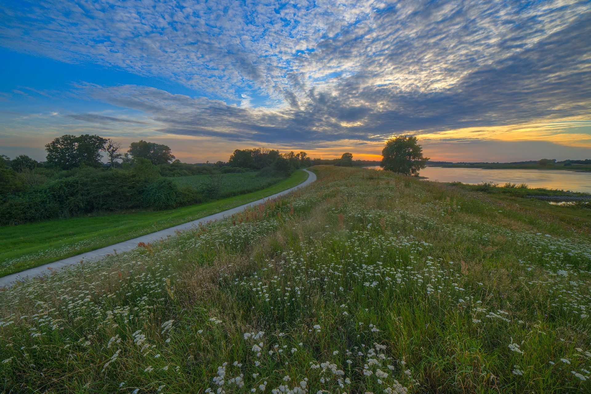
Bus station hiking trails around Gorleben offer access to a diverse landscape shaped by the Elbe River and glacial activity. The region features extensive floodplains and riparian forests along the Elbe, protected within the Lower Saxony Elbe Valley Biosphere Reserve. To the south, the Gartower Tannen presents a hilly pine forest, while the Höhbeck terminal moraine rises as a prominent "Pleistocene island" providing elevated viewpoints. The terrain generally ranges from flat river paths to varied forest and hill routes.
Best…
Last updated: May 15, 2026
4.7
(6)
22
hikers
13.6km
03:26
30m
30m
Moderate hike. Good fitness required. Easily-accessible paths. Suitable for all skill levels.
5.0
(3)
6
hikers
24.6km
06:18
100m
100m
Hard hike. Very good fitness required. Easily-accessible paths. Suitable for all skill levels.

Sign up for free
5.0
(2)
10
hikers
9.71km
02:28
20m
20m
Moderate hike. Good fitness required. Easily-accessible paths. Suitable for all skill levels.
5.0
(1)
8
hikers
Moderate hike. Good fitness required. Easily-accessible paths. Suitable for all skill levels.
11
hikers
2.80km
00:43
10m
10m
Easy hike. Great for any fitness level. Easily-accessible paths. Suitable for all skill levels.
Get access to more routes and recommendations from other explorers.
Sign up for free
Already have an account?
Our route recommendations are based on thousands of hikes, rides, and runs completed by other people on komoot.
Start today with a free account
Your next adventure awaits.
Login or Signup
Popular around Gorleben
Other adventures around Gorleben

Tips from the Community

Very beautifully restored houses!
0
1
Shortly before the bridge (coming from Meetschow) there is a detailed representation of the early medieval border station between the Frankish Empire and the Slavs - a pity that nothing can be seen of it today
0
0
Supposedly open from April to October - but unfortunately not today (May 1st)!
0
0
Very idyllic spot - this bridge is intact
0
0
Historically very interesting, from the viewing platform you have a good view of the Elbe. No wonder this place was strategically so important.
0
0
Many fish gather in front of the weir
0
0

A very, very small half-timbered church. However, it is beautifully situated in the village.
0
0
Frequently Asked Questions
How many bus station hiking trails are available around Gorleben?
There are 21 hiking trails around Gorleben that are easily accessible from bus stations. These routes offer a variety of experiences, from leisurely strolls to more challenging treks through the region's diverse landscapes.
What kind of terrain and natural features can I expect on these bus-accessible trails?
The trails around Gorleben offer varied terrain. You can expect flat paths along the Elbe River, through extensive floodplains and riparian forests, as well as more undulating sections in areas like the Höhbeck terminal moraine and the Gartower Tannen pine forest. The region is part of the Lower Saxony Elbe Valley Biosphere Reserve, known for its rich ecosystems.
Are there family-friendly hiking options accessible by bus in Gorleben?
Yes, many of the trails are suitable for families, offering easy to moderate difficulty. For example, the route "Gartower See Weir – White-tailed Eagle Area loop from Laasche" is a moderate 8.8 km loop that provides a great outdoor experience for families. The generally gentle elevation changes make many routes enjoyable for all ages.
Can I bring my dog on these bus station hiking trails?
Yes, dogs are generally welcome on the hiking trails around Gorleben. However, as much of the area is within the Lower Saxony Elbe Valley Biosphere Reserve, it is important to keep dogs on a leash, especially to protect wildlife and livestock. Always be mindful of local signage regarding dog regulations.
Are there circular hiking routes that start and end near bus stops?
Yes, several circular routes are accessible from bus stations. For instance, the "Will Hermann Marina – Gorleben Chapel loop from Gorleben" is a moderate 9.7 km circular hike that starts and ends conveniently in Gorleben, making it ideal for public transport users.
What interesting landmarks or viewpoints can I discover along these routes?
The region offers several points of interest. You can find beautiful views of the Gartower Lake, explore the Gartower Lake itself, or visit the Auenblick Observation Hut on the Elbe Dike for wildlife viewing. The Höhbeck area also features observation towers like Aussichtsturm Schwedenschanze, offering panoramic views over the Elbe and surrounding landscapes.
What is the best time of year to hike around Gorleben?
The best time for hiking in the Gorleben and Elbe Valley region is typically from spring to autumn. Spring brings blooming nature, while summer offers warm weather for riverside walks. Autumn provides beautiful foliage and comfortable temperatures. Winter hiking is possible, but some paths might be muddy or icy, and daylight hours are shorter.
Are there any easy routes for beginners or those looking for a relaxed walk?
Yes, there are 7 easy routes available. While specific easy routes are not listed in the provided data, the general terrain along the Elbe River is often flat and suitable for relaxed walks. Look for routes with minimal elevation gain for a comfortable experience.
Where can I find food or drink near the hiking trails accessible by bus?
While specific establishments are not listed, the villages and towns along the Elbe, such as Gorleben itself, Gartow, and Hitzacker, offer local cafes, restaurants, and pubs where you can refresh yourself after a hike. It's always a good idea to check opening times in advance.
What do other hikers enjoy most about hiking in Gorleben?
The hiking trails around Gorleben are highly rated by the komoot community, with an average score of 4.6 stars from 879 ratings. Hikers often praise the tranquil natural beauty of the Elbe River landscape, the diverse terrain, and the opportunities for wildlife observation, particularly in the Biosphere Reserve.
How do I find the bus stops for these hiking trails?
Many routes are designed to be accessible from local bus stops. For example, routes starting "from Gorleben" or "from Laasche" indicate proximity to bus stations in those villages. You can use local public transport apps or websites to plan your journey to the starting points of these trails, such as the Gorleben Alte Burg bus stop.
Most popular routes around Gorleben
Most popular attractions around Gorleben

Get inspired with the komoot mobile app


Explore more
Browse the best Hikes in other regions.
