The best gravel rides around Gorleben
4.9
(22)
93
riders
4
rides
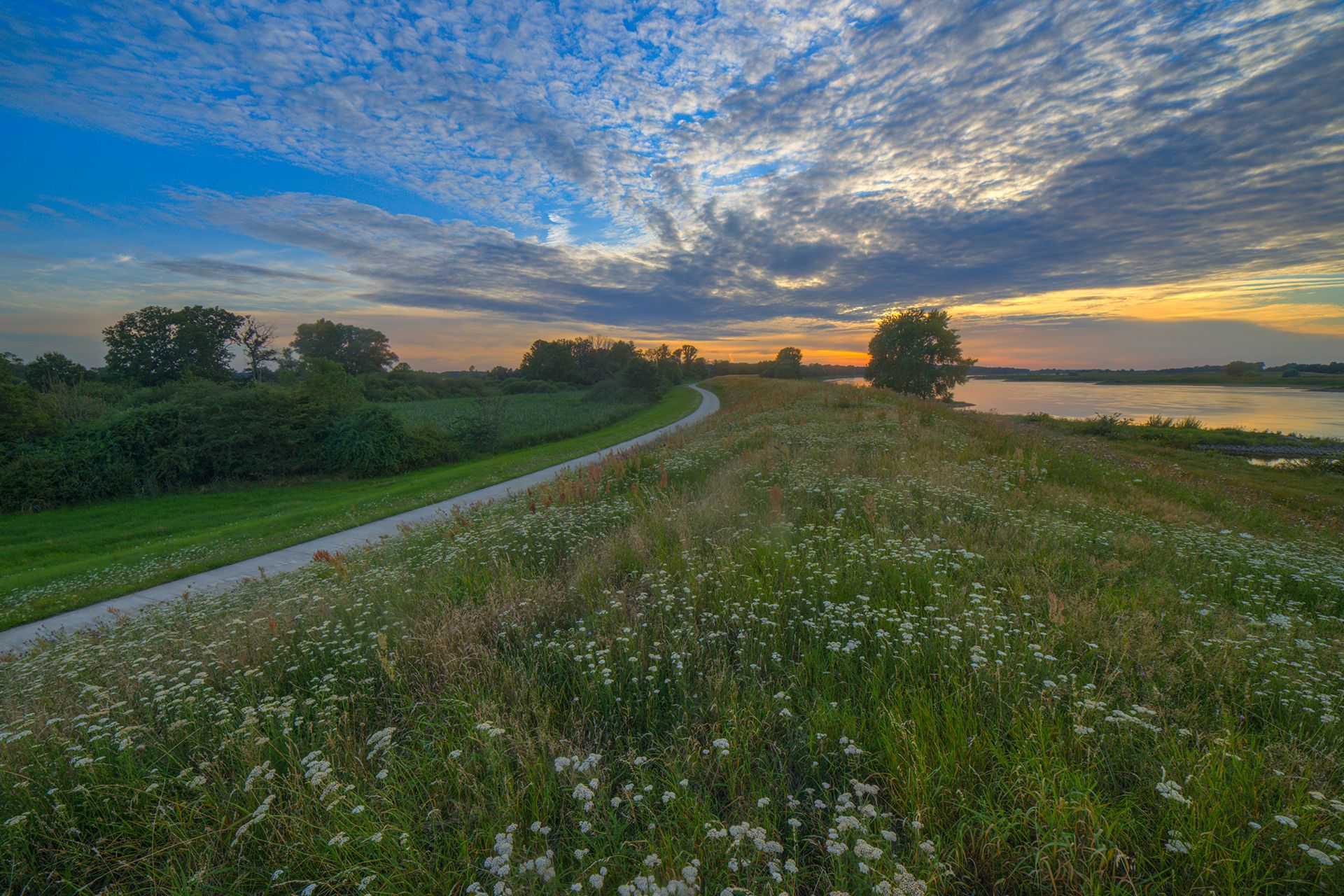
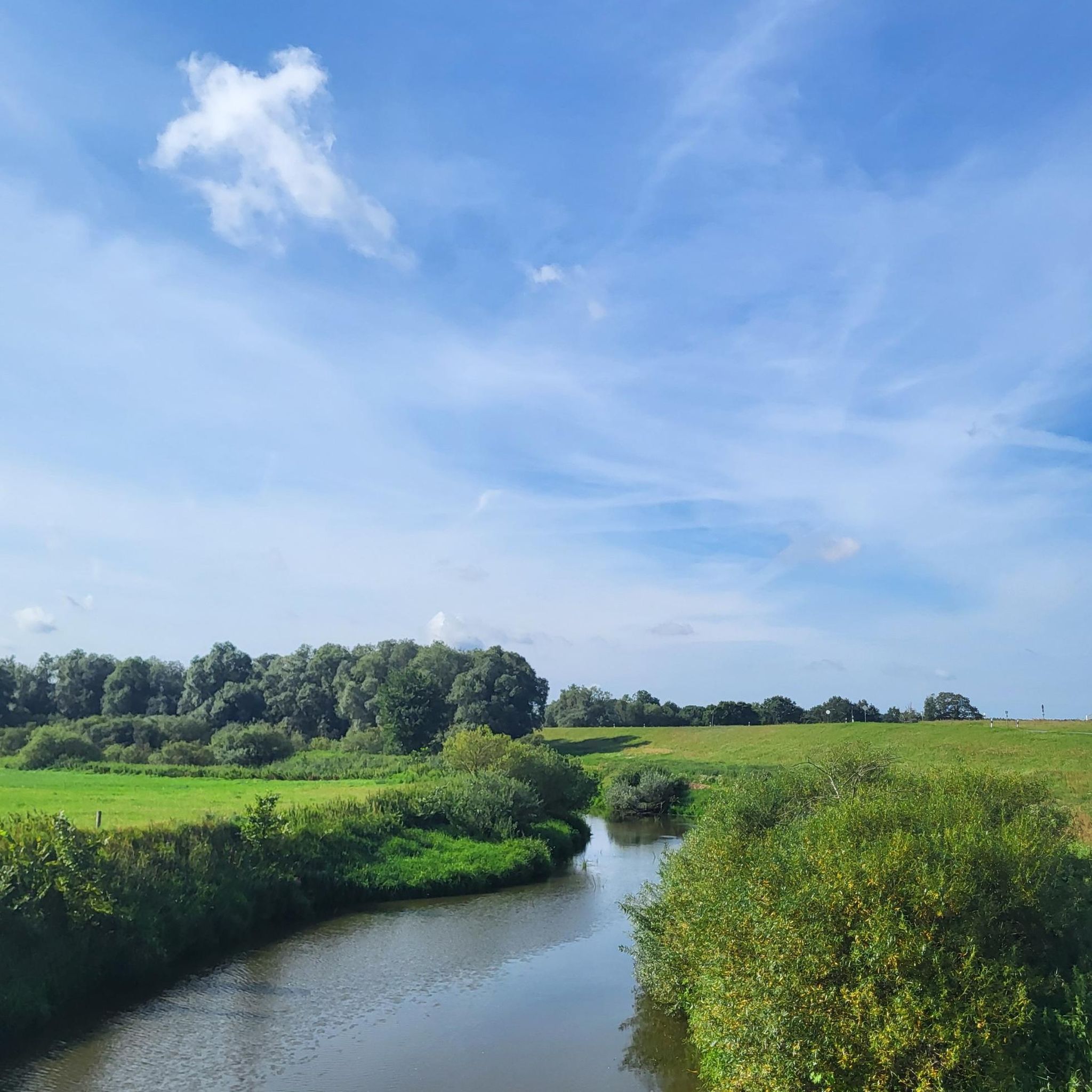
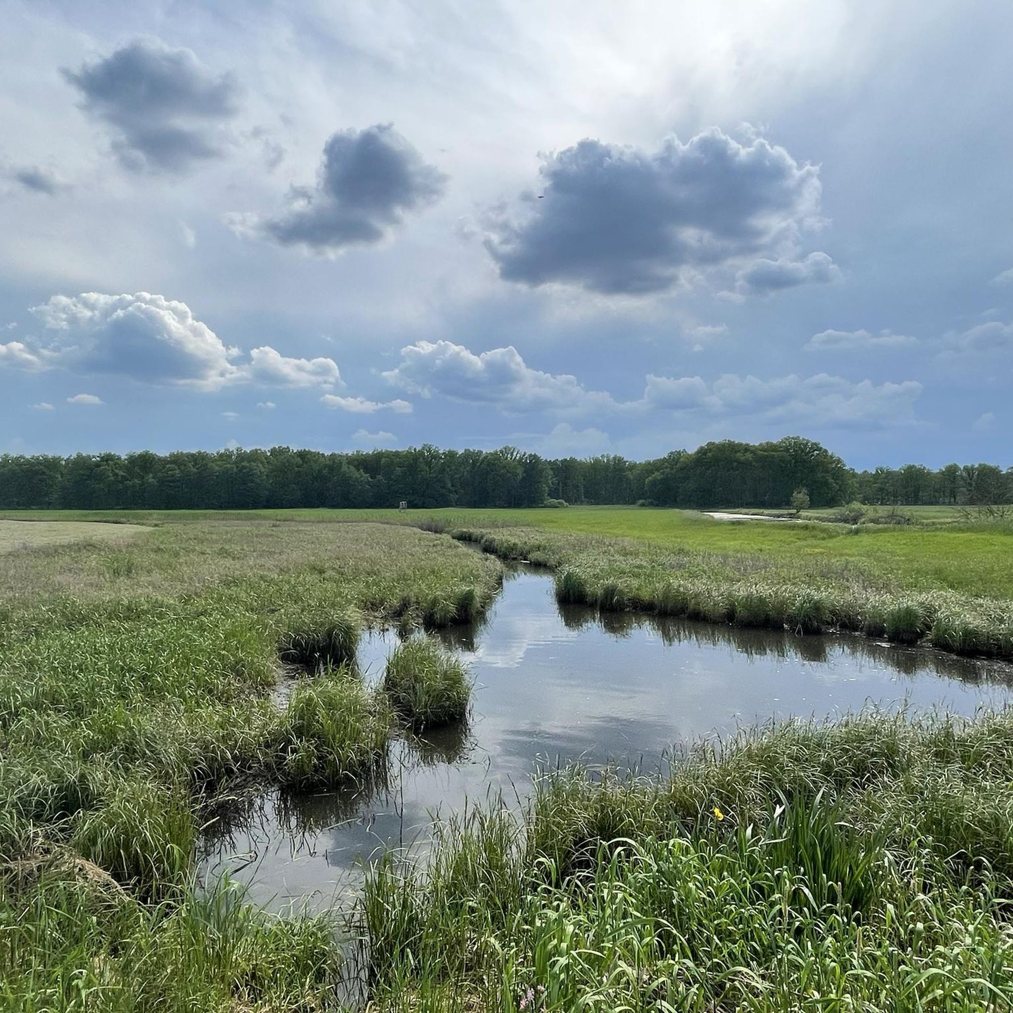
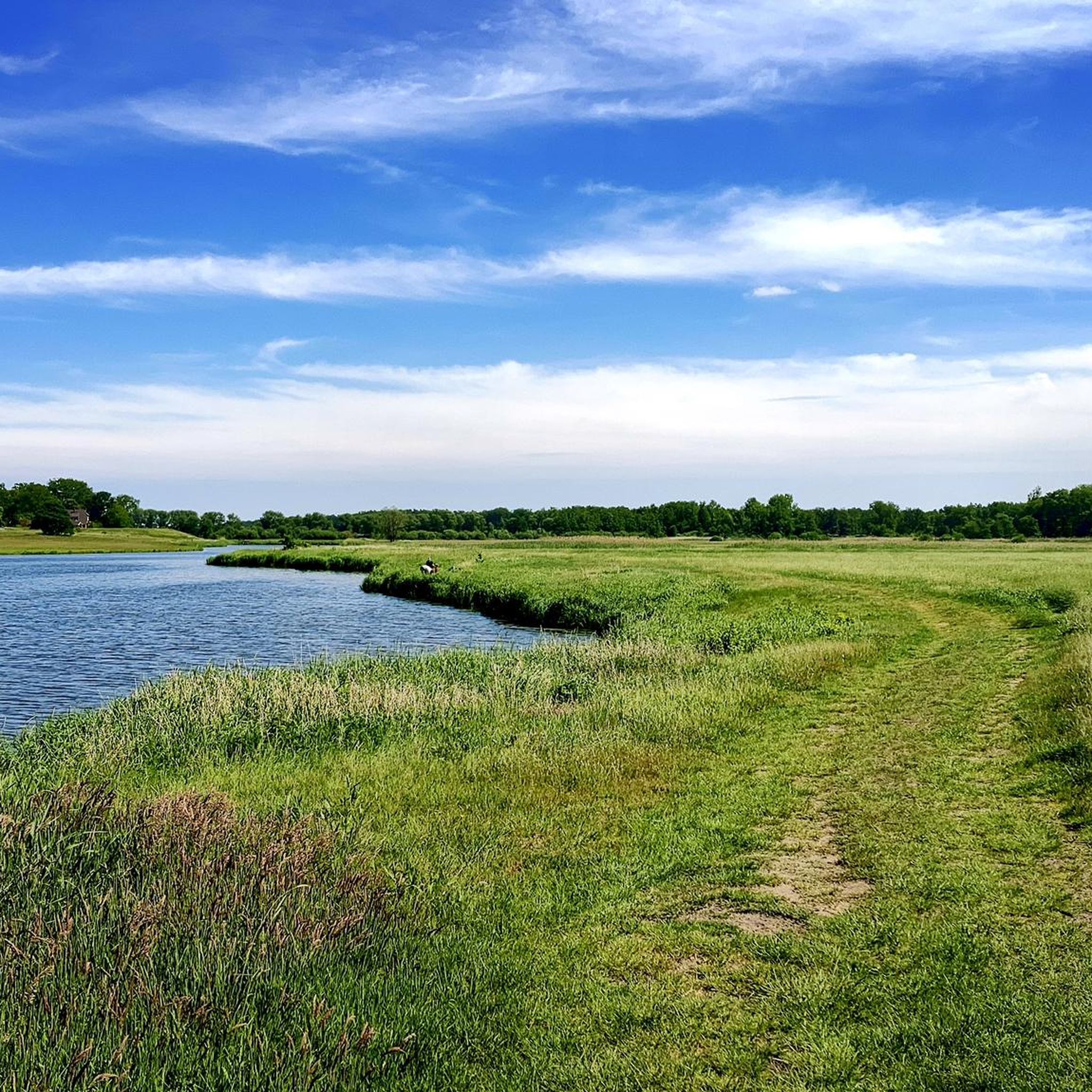
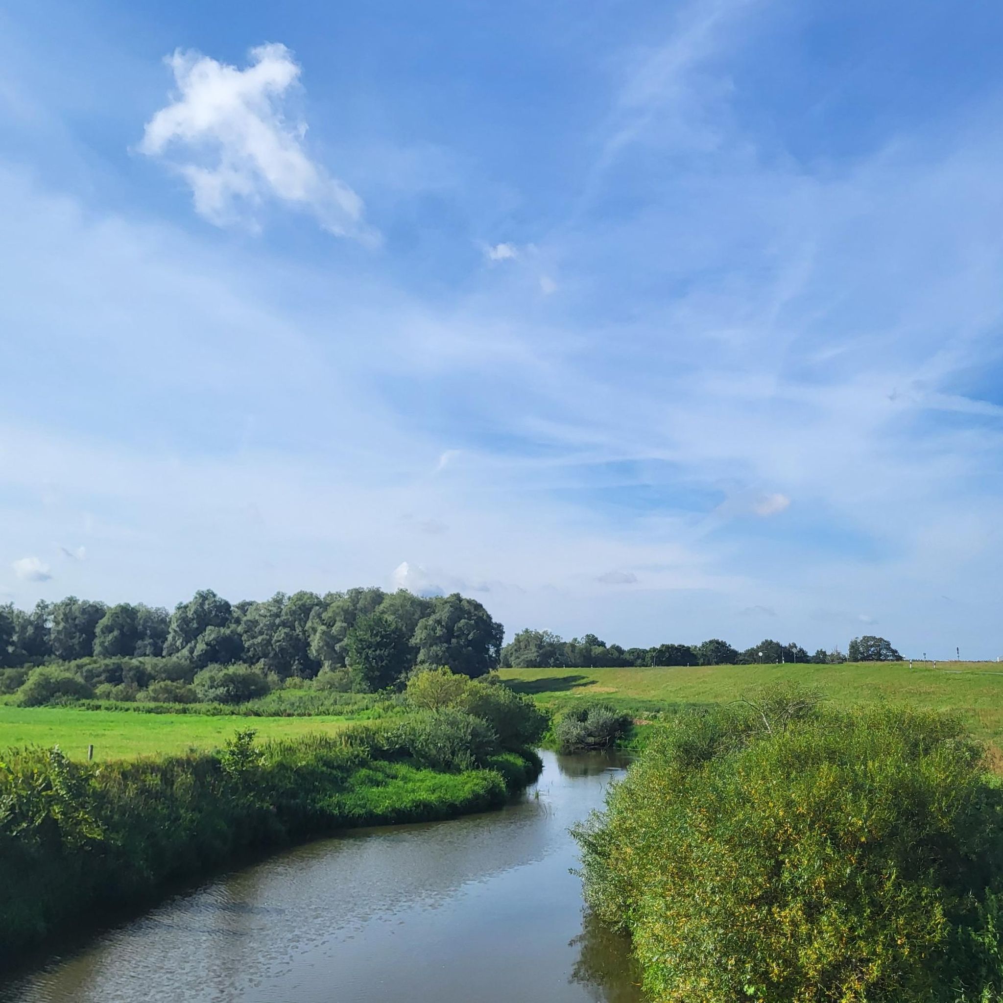
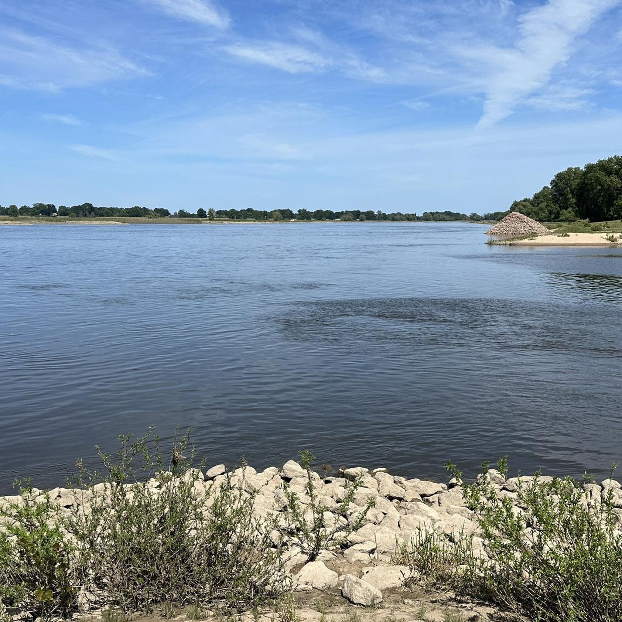
Gravel biking around Gorleben features routes through a landscape shaped by the Elbe River and its floodplains, alongside various lakes. The terrain is generally flat, with occasional gentle rises such as the area around Höhbeck Observation Tower. This region offers a mix of natural riverine environments, open fields, and some forested sections, providing varied surfaces for gravel cyclists. The network of trails connects small towns and natural points of interest, making it suitable for exploring the local geography.
Best gravel…
Last updated: May 21, 2026
4.9
(7)
26
riders
51.3km
02:35
150m
150m
Moderate gravel ride. Good fitness required. Mostly paved surfaces. Suitable for all skill levels.
5.0
(4)
20
riders
39.2km
01:56
60m
60m
Easy gravel ride. Great for any fitness level. Mostly paved surfaces. Suitable for all skill levels.

Sign up for free
5.0
(1)
5
riders
Easy gravel ride. Great for any fitness level. Mostly paved surfaces. Suitable for all skill levels.
2
riders
Easy gravel ride. Great for any fitness level. Mostly paved surfaces. Suitable for all skill levels.
Our route recommendations are based on thousands of hikes, rides, and runs completed by other people on komoot.
Start today with a free account
Your next adventure awaits.
Login or Signup
Other adventures around Gorleben

Tips from the Community

Hello, role model teachers who keep their phones to their ears while cycling with their class! Take the students and their e-bikes to places where there's something interesting to explain and make it accessible to them.
0
0

Luckily, this ferry was running despite the low tide. So I was able to complete my trip as planned. Tip: It's best to call at least a day in advance to check if the ferry is running!
0
0

The name of the "highlight" doesn't really fit here. Schnackenburg and Pevestorf are located on opposite sides of the Elbe. However, the section where the highlight is marked is located between Lütkenwisch and the Lenzener Schutzhafen.
0
0

Here you can cross the Elbe by ferry. It takes 1-2 minutes and costs 2 euros per adult and bicycle. Very nice and convenient.
0
0

Very beautiful landscape if you love peace and quiet.
0
0
KM long cycle paths very nice.
3
0
Great cycle path along the Elbe.
0
0

Frequently Asked Questions
What is the general difficulty level of gravel bike trails around Gorleben?
The gravel bike trails in Gorleben are generally accessible, with a mix of easy and moderate routes. You'll find 3 easy routes and 3 moderate routes, making the area suitable for various skill levels. There is also one more challenging route for experienced riders.
Are there any beginner-friendly gravel bike routes in Gorleben?
Yes, Gorleben offers several beginner-friendly gravel bike routes. A great option is the Lenzerwische Floodplain – Stork Nest loop from Werder Mödlich, which is an easy 24.3-mile (39.2 km) path through natural floodplains. Another easy route is the View of Lake Gartow – Klaus Bahlsen Tower loop from Samtgemeinde Gartow, covering 17.1 miles (27.5 km).
What kind of terrain can I expect on gravel bike trails in Gorleben?
The terrain around Gorleben is largely flat, shaped by the Elbe River and its floodplains, with occasional gentle rises, particularly around the Höhbeck Observation Tower. You'll encounter a mix of natural riverine environments, open fields, and some forested sections, providing varied surfaces for gravel cycling.
Are there any longer gravel bike routes for more advanced riders?
For those seeking a longer ride, the Elbe Ferry (Lenzen) – Dömitz Railway Bridge (Skywalk) loop from Gorleben is a moderate 31.7-mile (51.0 km) trail that takes around 3 hours 13 minutes to complete. It offers views of the Elbe River and crosses the historic Dömitz Railway Bridge.
What are some scenic viewpoints or natural attractions along the gravel bike routes?
Many routes offer scenic views of the Elbe River and its floodplains. You can visit the Schwedenschanze viewing tower on the Höhbeck for panoramic vistas, or explore the Brandenburg Elbe River Floodplain Biosphere Reserve. The Auenblick Observation Hut on the Elbe Dike also provides excellent opportunities for birdwatching and enjoying the river landscape.
Are there any historical landmarks or points of interest to explore?
Yes, you can incorporate historical sites into your ride. The Lenzen Border Tower – St. Catherine's Church, Lenzen loop from Werder Mödlich, for example, leads through historical sites. You can also visit the Lenzen Border Tower itself, a significant landmark in the region.
What is the best time of year for gravel biking in Gorleben?
The region is enjoyable for gravel biking throughout the warmer months, from spring to autumn, when the weather is mild and the natural landscapes are vibrant. The flat terrain also makes it accessible for winter rides, though conditions can vary, so checking local weather forecasts is always recommended.
Are there many loop trails available for gravel biking?
Most of the gravel bike routes around Gorleben are designed as convenient loop trails, allowing you to start and end at the same point. Examples include the Höhbeck Observation Tower – Lake Gartow loop from Gartow, which is 16.1 miles (26.0 km) long, and the Elbe Ferry (Lenzen) – Dömitz Railway Bridge (Skywalk) loop from Gorleben.
What do other gravel bikers say about the routes in Gorleben?
The gravel biking routes in Gorleben are highly regarded by the komoot community, holding an impressive average rating of 4.97 out of 5 stars from over 14 reviews. Riders often praise the diverse riverine landscapes, the quiet paths, and the well-maintained trails that connect various points of interest.
Are there any facilities or rest areas along the trails?
Yes, you can find various facilities and rest areas. For instance, there's an Observation Tower and Rest Area, and a Rest area with barbecue hut and view of the Elbe at Höhbeck, perfect for a break during your ride. You might also encounter smaller shelters like the Thatched-Roof Shelter — Nemitzer Heide.
How many gravel bike routes are available in the Gorleben area?
There are currently 7 gravel bike routes documented around Gorleben, offering a good selection for different preferences and skill levels. These routes have been explored by over 60 gravel bikers using komoot.
Most popular routes around Gorleben
Most popular attractions around Gorleben

Get inspired with the komoot mobile app


Explore more
Browse the best Gravel rides in other regions.
