The best hikes from bus stations around Langelsheim
4.6
(21580)
75,529
hikers
262
hikes
Bus station hiking trails around Langelsheim offer access to the diverse landscapes at the edge of the Harz Mountains in Germany. The region is characterized by dense forests, rolling hills, and significant water bodies like the Granestausee and Innerstetalsperre reservoirs. Hikers can explore a varied topography that includes river valleys and elevated sections, providing a range of experiences from gentle strolls to more challenging ascents. This area serves as a gateway to the Harz National Park, known for its natural…
Last updated: May 15, 2026
4.7
(798)
2,703
hikers
Moderate hike. Good fitness required. Easily-accessible paths. Suitable for all skill levels.
4.6
(644)
2,308
hikers
12.0km
03:17
150m
150m
Moderate hike. Good fitness required. Mostly accessible paths. Sure-footedness required.

Sign up for free
4.7
(412)
1,328
hikers
5.19km
01:31
140m
140m
Easy hike. Great for any fitness level. Easily-accessible paths. Suitable for all skill levels.
4.7
(392)
1,340
hikers
11.2km
03:22
360m
360m
Moderate hike. Good fitness required. Easily-accessible paths. Suitable for all skill levels.
4.7
(196)
626
hikers
9.18km
02:40
220m
220m
Moderate hike. Good fitness required. Mostly accessible paths. Sure-footedness required.
Get access to more routes and recommendations from other explorers.
Sign up for free
Already have an account?
Our route recommendations are based on thousands of hikes, rides, and runs completed by other people on komoot.
Start today with a free account
Your next adventure awaits.
Login or Signup



Tips from the Community

A nice place for a break
0
0

Beautiful seating area with a view of the quarry
0
0

Good path with beautiful views.
1
0

Bench with a beautiful view of Lauenthal.
0
0

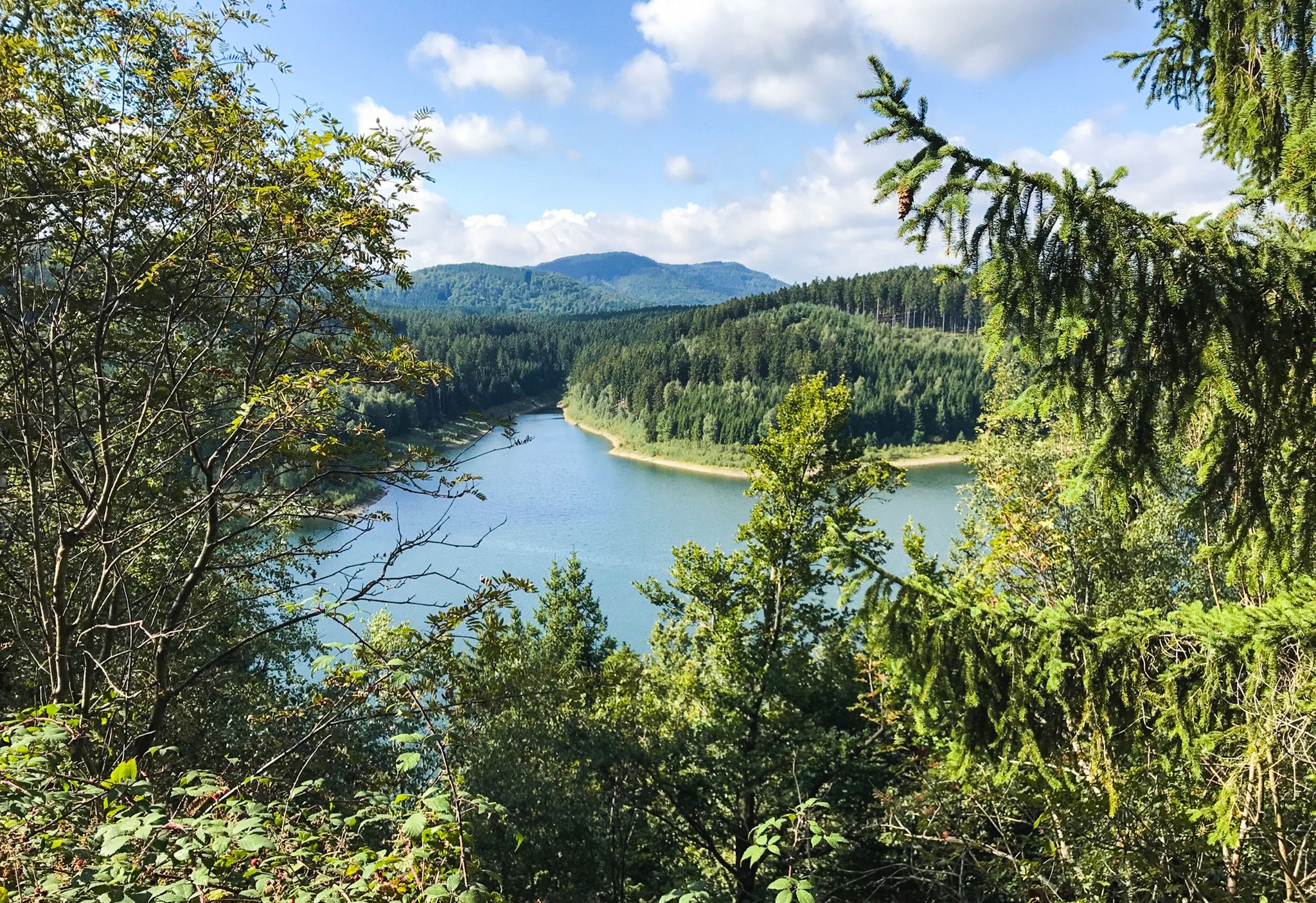
On the tour you often have a beautiful view of the reservoir
3
0

Perfect seating with a fantastic view of the dam
5
0

Beautiful old house with history
0
0

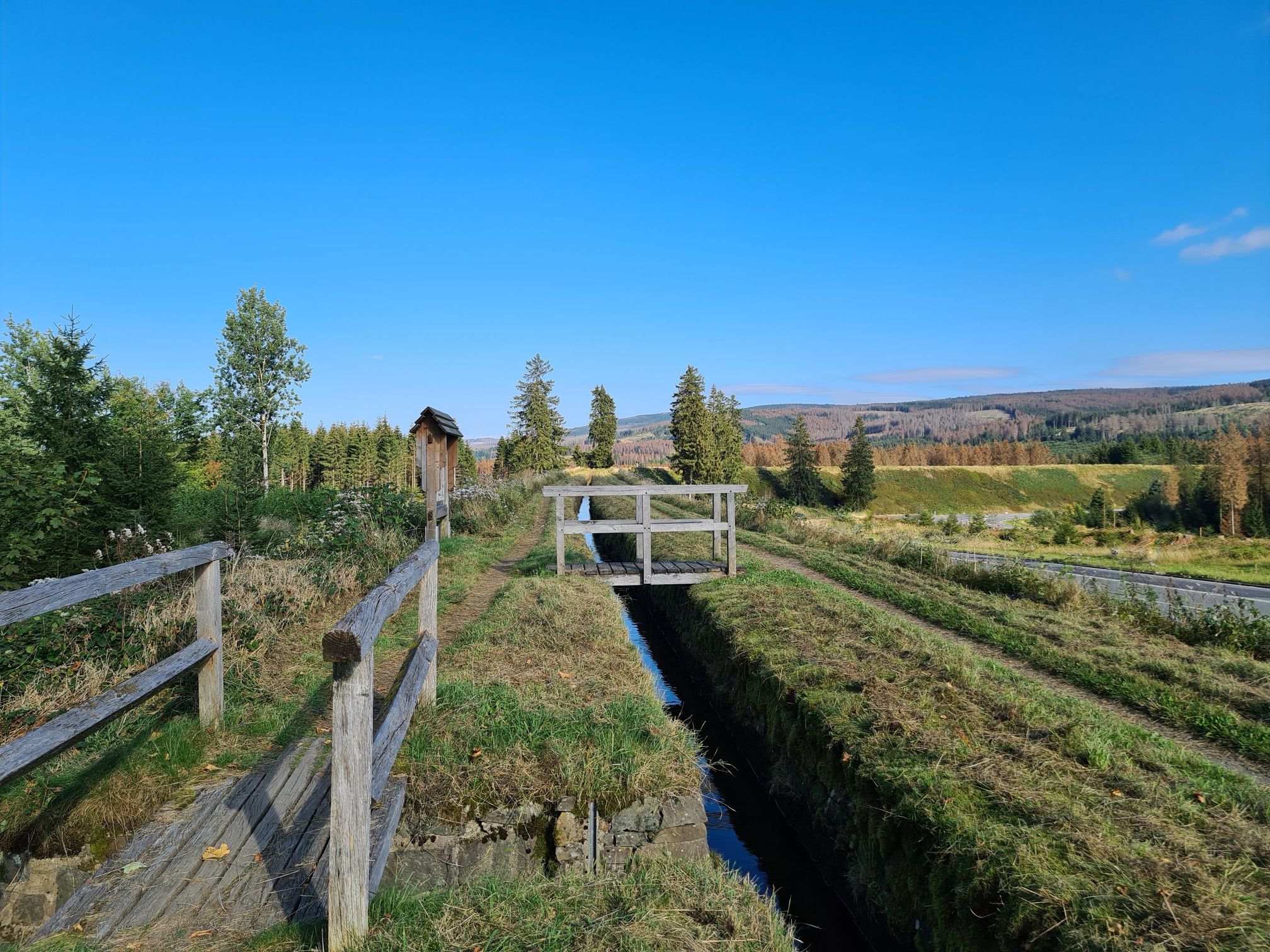
Under the bridge, the Innerste flows towards the dam.
0
0
Frequently Asked Questions
How many bus-accessible hiking trails are available around Langelsheim?
There are over 260 hiking trails around Langelsheim that are easily accessible by bus. These routes cater to various skill levels, from easy strolls to more challenging mountain expeditions, all starting conveniently close to public transport stops.
Are there easy hiking trails accessible by bus from Langelsheim?
Yes, Langelsheim offers a good selection of easy hiking trails accessible by bus. For instance, the Fossecken Shelter – Spur der Steine Trail loop from Langelsheim is an easy 5.2 km route perfect for a relaxed outing. Many of these easier paths are found around the Granestausee, offering gentle terrain and scenic views.
Can I find circular hiking routes starting from bus stations in Langelsheim?
Absolutely. Many of the bus-accessible trails around Langelsheim are circular, allowing you to start and end your hike at the same bus stop. An example is the View of the Granetalsperre reservoir – Grane Reservoir loop from Herzog Juliushütte, a moderate 15.5 km loop offering beautiful reservoir views.
Are there family-friendly hiking trails accessible by bus in Langelsheim?
Yes, the region offers several family-friendly options. The area around the Granestausee is particularly suitable, with its tranquil paths, picnic areas, and play zones. The Grumbach Waterfall is also a popular destination for families, reachable via well-marked trails.
Can I bring my dog on these bus-accessible hikes?
Many trails in the Langelsheim area, especially those within the Harz National Park, are dog-friendly. It's always recommended to keep dogs on a leash to protect local wildlife and ensure a pleasant experience for all hikers. Always check specific trail regulations if you plan to enter protected areas.
Which bus-accessible trails feature waterfalls near Langelsheim?
You can find beautiful waterfalls on bus-accessible trails. The Grumbach Waterfall is a notable attraction. You can explore it via routes like the Grumbach Waterfall – Lower Grumbach Pond loop from Lautenthal, which is a moderate 11.2 km hike.
Are there bus-accessible hikes with scenic viewpoints in the Langelsheim area?
Yes, the Harz Mountains offer numerous viewpoints. While some require more challenging climbs, you can find accessible options. The Steinberg Tower (HWN111) offers panoramic views and is often incorporated into local hiking routes. The region's diverse topography ensures many opportunities for scenic vistas.
Can I hike around lakes or reservoirs from a bus station in Langelsheim?
Absolutely. The Granestausee (Grane reservoir) and Innerstetalsperre (Innerste dam) are popular spots for hiking. The View of the Granetalsperre reservoir – Grane Reservoir loop from Herzog Juliushütte is a great example of a bus-accessible route around a reservoir, offering tranquil paths and beautiful water views.
What is the best time of year for bus-accessible hiking in Langelsheim?
Spring and autumn are generally considered the best seasons for hiking around Langelsheim. In spring, the landscape bursts with blossoms, while autumn offers vibrant foliage. The weather is typically mild, making for comfortable hiking conditions. However, the region also offers charm in summer and winter, with appropriate gear.
What do other hikers enjoy most about hiking in Langelsheim?
The komoot community highly rates the hiking experience in Langelsheim, with an average score of 4.6 stars. Reviewers often praise the diverse landscapes, from dense forests to rolling hills, and the well-maintained trails. The accessibility by public transport and the natural beauty of the Harz National Park are frequently highlighted as major advantages.
Are there any historical or cultural points of interest along bus-accessible trails?
Yes, the region is rich in history. The Innerste River – Innerste River at Lautenthal loop from Lautenthal follows a path along the Innerste river, echoing historical routes. The nearby Lautenthals-Glück Mining Museum also offers insights into the region's mining heritage, often accessible via local bus connections and short walks.
Most popular routes around Langelsheim
Most popular attractions around Langelsheim

Get inspired with the komoot mobile app


Explore more
Browse the best Hikes in other regions.
