The best hikes from bus stations around Dransfeld
4.6
(1108)
7,016
hikers
106
hikes
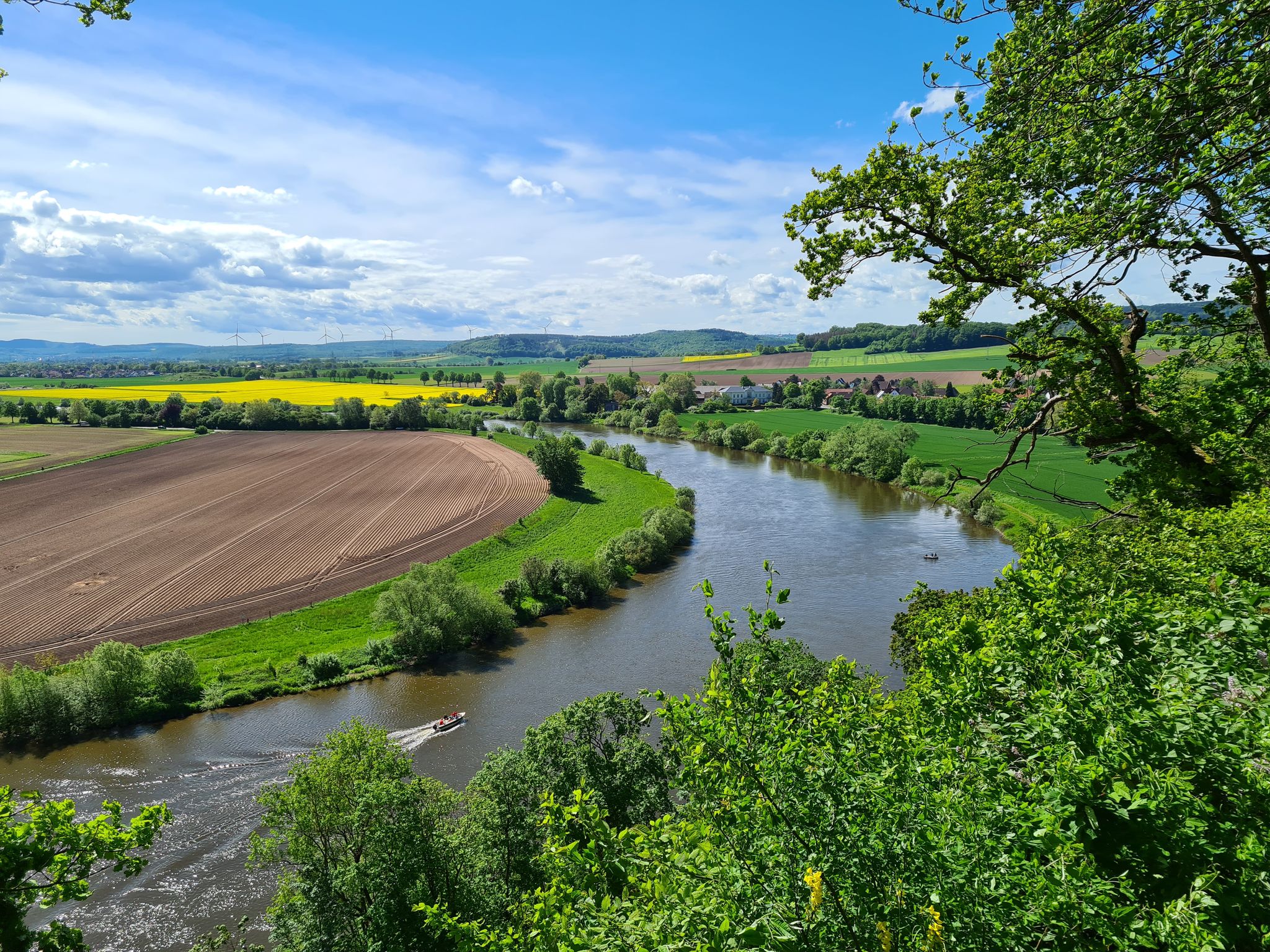
Bus station hiking trails around Dransfeld navigate a landscape characterized by rolling hills, green meadows, and dense forests within the Münden Nature Park. The region features the Hoher Hagen, a volcanic mountain reaching 508 meters, known for its basalt formations. Numerous small rivers crisscross the area, contributing to varied terrain. This topography offers a range of hiking experiences, from open cultural landscapes to woodlands.
Best bus station hiking trails around Dransfeld
- The most popular bus station hiking route is Altar…
Last updated: August 21, 2026
4.6
(23)
82
hikers
8.83km
02:29
180m
180m
Moderate hike. Good fitness required. Easily-accessible paths. Suitable for all skill levels.
4.9
(8)
44
hikers
13.7km
03:52
290m
290m
Moderate hike. Good fitness required. Easily-accessible paths. Suitable for all skill levels.

Sign up for free
4.7
(16)
75
hikers
4.67km
01:17
70m
70m
Easy hike. Great for any fitness level. Easily-accessible paths. Suitable for all skill levels.
5.0
(12)
55
hikers
Moderate hike. Good fitness required. Easily-accessible paths. Suitable for all skill levels.
4.4
(12)
45
hikers
13.0km
03:36
230m
230m
Moderate hike. Good fitness required. Easily-accessible paths. Suitable for all skill levels.
Get access to more routes and recommendations from other explorers.
Sign up for free
Already have an account?
Our route recommendations are based on thousands of hikes, rides, and runs completed by other people on komoot.
Start today with a free account
Your next adventure awaits.
Login or Signup
Popular around Dransfeld
Other adventures around Dransfeld

Tips from the Community

An interesting collection of stones next to a dilapidated hut. The broken stone exhibits bowl-shaped depressions that were not caused by weathering. Excavations have uncovered quartzite tools. This suggests that Paleolithic people mined and prepared material for stone tools here.
4
0
The basalt wall of the quarry at Germany's northernmost volcano is quite impressive
1
0

From the viewpoint you can see as far as the Hercules in Kassel if the weather is good
0
1


Unfortunately, when I visited (September 2024), everything was overgrown. It's a real shame that it is no longer looked after.
1
0
Frequently Asked Questions
How many bus-accessible hiking trails are available around Dransfeld?
There are over 100 hiking routes around Dransfeld that are easily accessible from bus stations. These trails cater to various fitness levels, with a good mix of easy and moderate options.
What kind of landscapes can I expect on bus-accessible hikes in Dransfeld?
Hikes around Dransfeld, particularly those accessible by bus, traverse a diverse landscape within the Münden Nature Park. You'll encounter rolling hills, green meadows, dense forests, and small rivers. A prominent feature is the Hoher Hagen, a mountain of volcanic origin, offering unique basalt formations and scenic views.
Are there any easy, circular routes from a bus stop suitable for beginners or families?
Yes, Dransfeld offers several easy, circular routes perfect for beginners or families. For instance, the BBQ hut at Silbersee – Lange Trift Trail loop from Dransfeld is an easy option that provides a pleasant walk without significant elevation changes.
What are some notable natural features or viewpoints I can discover on these trails?
Many bus-accessible trails lead to significant natural features. The Hoher Hagen is a key highlight, offering remnants of Tertiary volcanic activity and a geo-educational trail around its former basalt quarry. You can explore routes like the BBQ hut at Silbersee – Viewpoint at Hoher Hagen loop from Dransfeld to experience these natural wonders and enjoy expansive views.
Can I find historical sites or interesting landmarks along bus-accessible hiking routes?
Absolutely. The region around Dransfeld is rich in history. You can find routes that pass by historical points of interest such as the Hünenburg. Additionally, the nearby Historic Old Town of Hann. Münden with its half-timbered houses, and the Confluence of the Werra and Fulda rivers are significant attractions easily reachable from Dransfeld.
Are there any moderate hikes from bus stations that offer a good challenge?
For those seeking a moderate challenge, Dransfeld has several excellent options. The Altar Stones – Gauss Tower loop from Dransfeld is a popular moderate route that takes you through varied terrain and past interesting geological formations.
What do other hikers say about the bus-accessible trails in Dransfeld?
The bus-accessible trails around Dransfeld are highly regarded by the komoot community, with an average rating of 4.6 out of 5 stars from over 1000 reviews. Hikers frequently praise the well-maintained paths, the diverse scenery ranging from forests to open meadows, and the convenience of public transport access.
Are there any routes that explore the unique basalt formations of the Dransfelder Hochfläche?
Yes, the volcanic origins of the Hoher Hagen mean there are routes specifically designed to showcase these unique geological features. Consider the Basalt Quarry at Hohen Hagen – Altar Stones loop from Dransfeld, which directly explores the basalt quarry and surrounding formations.
Are there any bus-accessible hikes that include a visit to the Hünenburg?
Yes, you can explore the area around the Hünenburg via bus-accessible routes. The Grenzstein-Walker Bench – Hünenburg (Dransfeld) loop from Ossenberg - Fehrenbusch is a moderate trail that incorporates this historical site into its path.
When is the best time of year to go hiking from bus stations in Dransfeld?
The spring and autumn seasons are particularly recommended for hiking around Dransfeld. During these times, the weather is generally pleasant, and the natural scenery is vibrant, with blooming flowers in spring and colorful foliage in autumn, making for an ideal hiking experience.
Most popular routes around Dransfeld
Most popular attractions around Dransfeld

Get inspired with the komoot mobile app


Explore more
Browse the best Hikes in other regions.
