The best traffic-free bike rides around Weitersweiler
4.8
(18)
55
riders
12
rides
No traffic gravel bike trails around Weitersweiler navigate a landscape characterized by rolling hills, diverse forests, and open country roads. The region is situated within the scenic Donnersberg area, offering varied terrain suitable for gravel biking. This includes paths through woodlands and along the base of the Donnersberg Massif, the highest elevation in the Palatinate. The area provides a mix of challenging climbs and more leisurely sections across its undulating topography.
Best no traffic gravel bike trails around Weitersweiler
- The most popular no traffic gravel bike trail is Steinbacher Pond – Keiperweg loop from Kirchheimbolanden, a 24.5 miles (39.4 km) trail that takes 3 hours 0 minutes to complete, featuring significant elevation changes through forested areas.
- Another top favourite among local gravel bikers is Waldlock Forest Café & Nature Resort – View of Donnersberg loop from Münchweiler (Alsenz), a moderate 14.9 miles (23.9 km) path. This route offers views of the Donnersberg Massif and passes through varied forest and open terrain.
- Local gravel bikers also love the Eiswoog – Lake Eiswoog and Viaduct loop from Ramsen, a 17.0 miles (27.4 km) trail leading through picturesque lake and viaduct scenery, often completed in about 1 hour 48 minutes.
- Gravel biking around Weitersweiler is defined by rolling hills, dense forests, and views of the Donnersberg Massif. The network offers options for different ability levels, from moderate to difficult routes.
- The routes in Weitersweiler are highly rated by the komoot community with an average score of 4.9 stars from over 10 reviews. More than 50 gravel bikers have used komoot to explore Weitersweiler's varied terrain.
Last updated: June 27, 2026
5.0
(3)
9
riders
39.4km
03:00
660m
660m
Hard gravel ride. Very good fitness required. Mostly paved surfaces. Suitable for all skill levels.
7
riders
Moderate gravel ride. Good fitness required. Mostly paved surfaces. Suitable for all skill levels.

Sign up for free
5.0
(3)
5
riders
27.4km
01:48
300m
300m
Moderate gravel ride. Good fitness required. Mostly paved surfaces. Suitable for all skill levels.
5.0
(1)
4
riders
33.9km
02:18
530m
540m
Hard gravel ride. Very good fitness required. Mostly paved surfaces. Suitable for all skill levels.
33.7km
02:38
600m
600m
Hard gravel ride. Very good fitness required. Mostly paved surfaces. Suitable for all skill levels.
Get access to more routes and recommendations from other explorers.
Sign up for free
Already have an account?
Our route recommendations are based on thousands of hikes, rides, and runs completed by other people on komoot.
Start today with a free account
Your next adventure awaits.
Login or Signup
Popular around Weitersweiler
Tips from the Community

you automatically drive through when you go to Imsbach
0
0

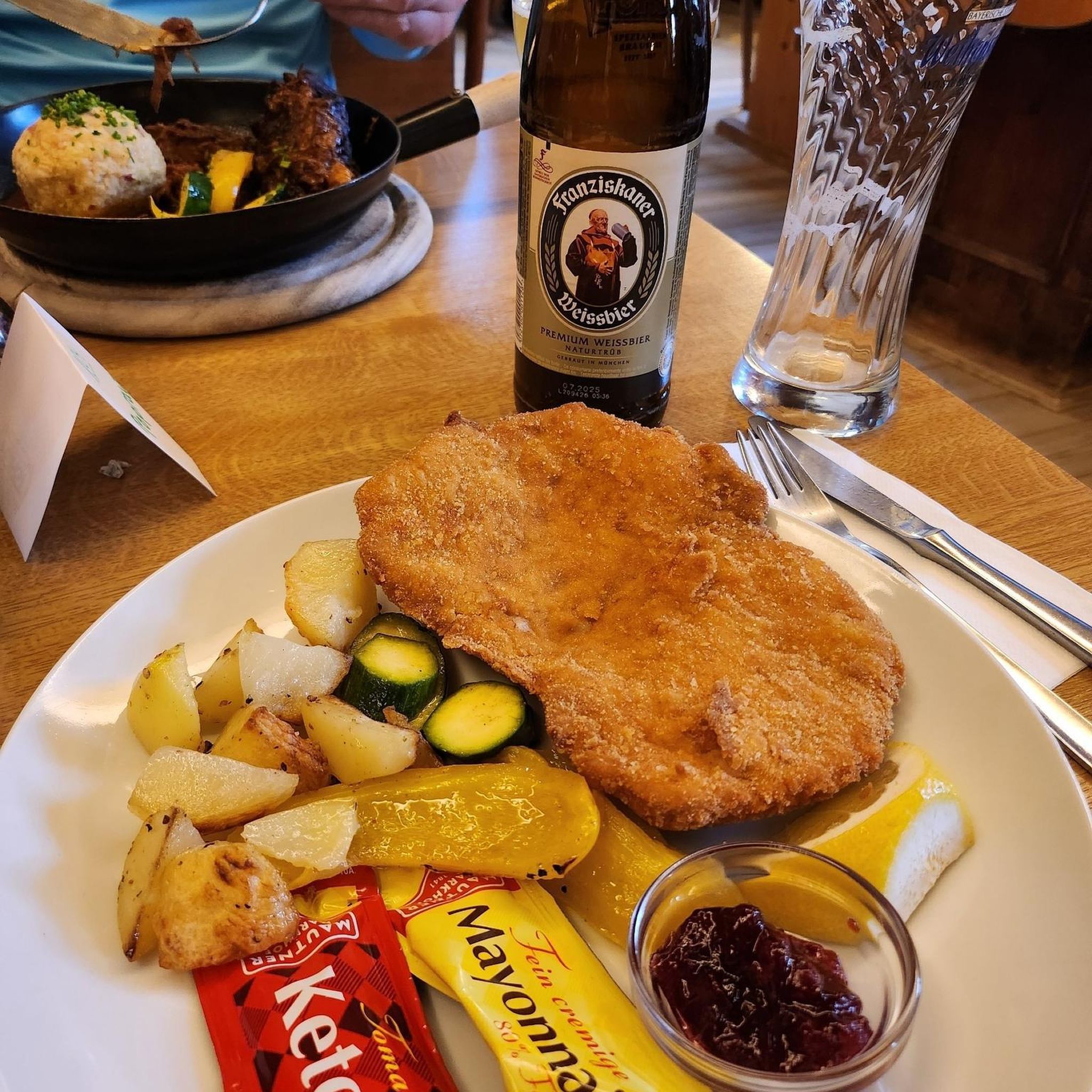
We ate very good regional dishes here at fair prices.
0
0
nice place for a break
0
0
great place to stop for refreshments https://www.retzberghuette.de/
0
0
Frequently Asked Questions
How many no-traffic gravel bike trails are available around Weitersweiler?
Our guide features 12 carefully selected no-traffic gravel bike trails around Weitersweiler, offering a variety of experiences for cyclists looking to explore the region's quiet paths.
What kind of terrain can I expect on these no-traffic gravel trails?
The no-traffic gravel trails around Weitersweiler traverse a diverse landscape of rolling hills, picturesque forests, and open country roads. You'll encounter a mix of well-maintained forest paths, unpaved tracks, and possibly sections near vineyards, all suitable for gravel bikes. The region's varied terrain ensures an engaging ride without vehicle interference.
Are there options for different skill levels on the no-traffic gravel trails?
Yes, the no-traffic gravel trails around Weitersweiler cater to various skill levels. You'll find routes ranging from moderate to difficult, with 7 moderate and 5 difficult options. While there are no 'easy' routes specifically listed in this selection, moderate trails offer a good balance for most gravel cyclists, and the more difficult ones provide a challenge with greater elevation changes.
What natural landmarks or viewpoints can I discover on these routes?
Many no-traffic gravel routes offer stunning natural sights. You can ride towards the majestic Königsstuhl (Donnersberg summit), the highest point in the Palatinate, or visit the Adlerbogen Viewpoint for breathtaking easterly views. The Ludwig Tower on the Donnersberg is another notable landmark providing panoramic vistas.
Are there any historical sites or cultural points of interest along the no-traffic gravel routes?
Absolutely! The region around Weitersweiler is rich in history. While cycling, you might pass by historic castles such as Weitersweiler Castle, Falkenstein Castle, and Neuleiningen Castle. Additionally, the Celtic Sculpture Trail, with its informational stations, offers a unique cultural experience, particularly when exploring the Donnersberg area.
What is the best time of year for gravel biking in Weitersweiler?
The spring and autumn months are particularly enchanting for gravel biking around Weitersweiler. In spring, the blossoming meadows create a vibrant backdrop, while autumn transforms the forests into a spectacle of rich colors. These seasons generally offer pleasant temperatures and beautiful scenery, enhancing your no-traffic riding experience.
Are the no-traffic gravel bike trails around Weitersweiler dog-friendly?
Generally, the natural and forest paths that make up these no-traffic gravel trails are dog-friendly. However, it's always recommended to keep your dog on a leash, especially in nature reserves, near wildlife, or when passing through villages. Please ensure your dog is well-behaved and that you clean up after them to preserve the natural environment for everyone.
Are there family-friendly no-traffic gravel routes suitable for children?
While this guide features mostly moderate to difficult routes, many of the no-traffic forest and country roads can be enjoyed by families with older children who are comfortable with longer distances and some elevation. For example, the Waldlock Forest Café & Nature Resort – View of Donnersberg loop from Münchweiler (Alsenz) is a moderate 23.9 km route that could be suitable for active families.
Are there circular no-traffic gravel routes available?
Yes, all the no-traffic gravel bike trails listed in this guide are circular routes, meaning you'll start and end at the same point. This makes planning your ride convenient, as you won't need to arrange for transport back to your starting location.
What do other gravel bikers enjoy most about the no-traffic trails in Weitersweiler?
The komoot community highly rates the gravel biking experience around Weitersweiler, with an average score of 4.875 stars from 17 ratings. Riders frequently praise the peaceful, car-free nature of the trails, the diverse and scenic landscapes, and the rewarding views from elevated points like the Donnersberg.
Where can I find parking for these no-traffic gravel bike trails?
While specific parking locations aren't detailed for every trailhead, you can typically find parking in or near the starting villages mentioned for each route, such as Kirchheimbolanden, Münchweiler (Alsenz), or Ramsen. Look for designated public parking areas or consider parking near local amenities, ensuring you respect local regulations.
Are there opportunities for refreshments or cafe stops along the no-traffic gravel routes?
Yes, some routes offer opportunities for refreshment. For instance, the Waldlock Forest Café & Nature Resort – View of Donnersberg loop from Münchweiler (Alsenz) specifically mentions a forest café. Additionally, many villages in the region, including Weitersweiler itself and nearby towns, have cafes and restaurants where you can refuel before or after your ride.
Most popular attractions around Weitersweiler

Get inspired with the komoot mobile app


Explore more
Browse the best Gravel rides in other regions.
