The best gravel rides around Weitersweiler
4.8
(16)
51
riders
24
rides
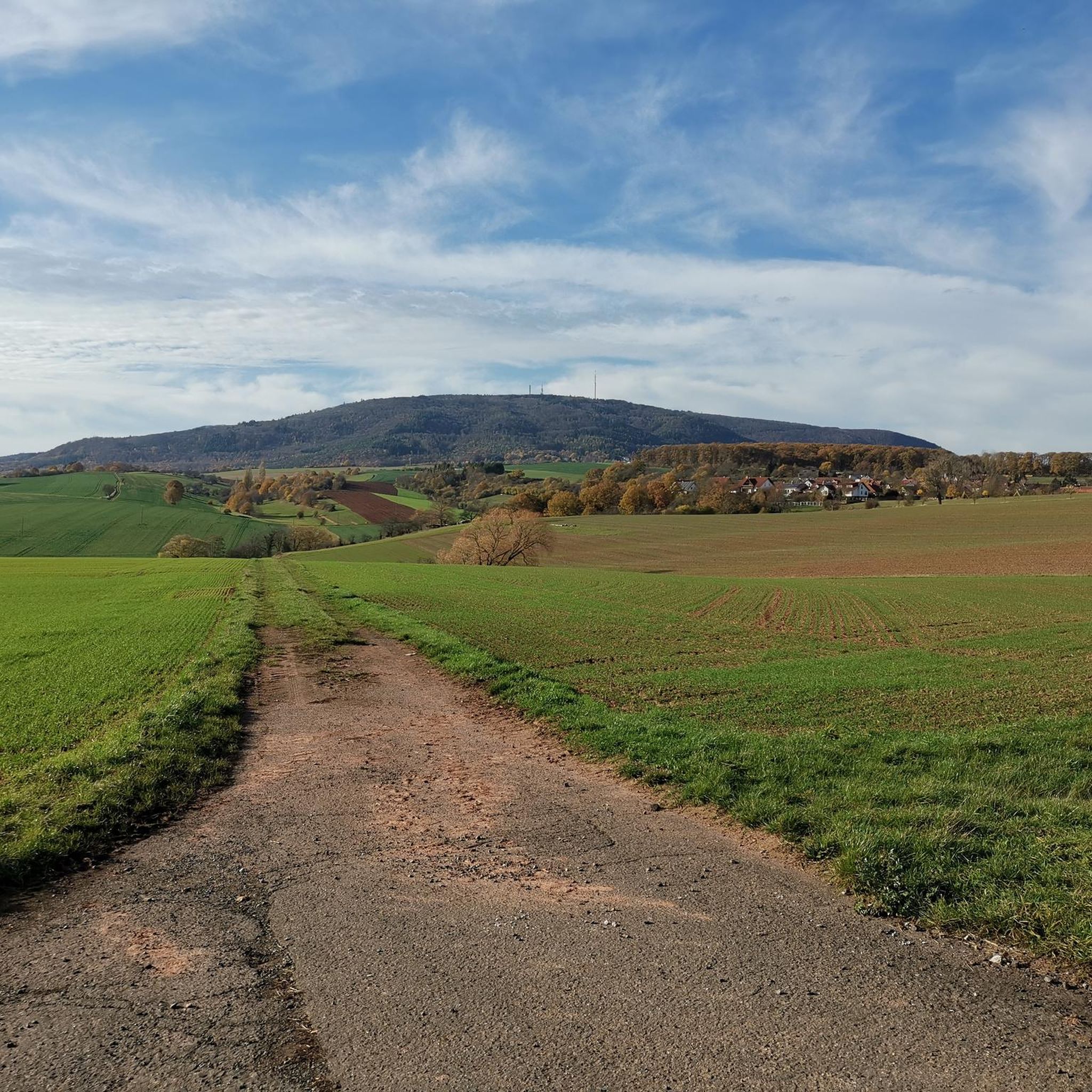
Gravel biking around Weitersweiler offers a diverse landscape characterized by rolling hills, forested sections, and scenic valleys. The region features numerous ponds and viaducts, providing varied terrain for gravel bike enthusiasts. Trails often follow river valleys like the Appelbach and pass by natural features such as the Eistal Viaduct and various ponds. This area provides a mix of challenging climbs and more moderate paths, suitable for different skill levels.
Best gravel bike trails around Weitersweiler
- The most popular gravel bike…
Last updated: May 22, 2026
5.0
(1)
7
riders
39.4km
03:00
660m
660m
Hard gravel ride. Very good fitness required. Mostly paved surfaces. Suitable for all skill levels.
4.8
(4)
6
riders
Moderate gravel ride. Good fitness required. Mostly paved surfaces. Suitable for all skill levels.

Sign up for free
4.8
(4)
12
riders
33.9km
02:09
370m
370m
Moderate gravel ride. Good fitness required. Mostly paved surfaces. Suitable for all skill levels.
5
riders
46.4km
03:00
660m
660m
Hard gravel ride. Very good fitness required. Mostly paved surfaces. Suitable for all skill levels.
7
riders
Moderate gravel ride. Good fitness required. Mostly paved surfaces. Suitable for all skill levels.
Get access to more routes and recommendations from other explorers.
Sign up for free
Already have an account?
Our route recommendations are based on thousands of hikes, rides, and runs completed by other people on komoot.
Start today with a free account
Your next adventure awaits.
Login or Signup
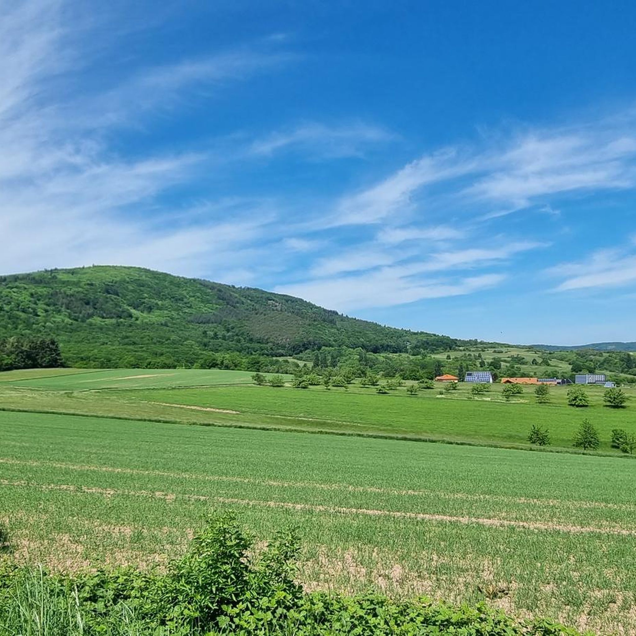
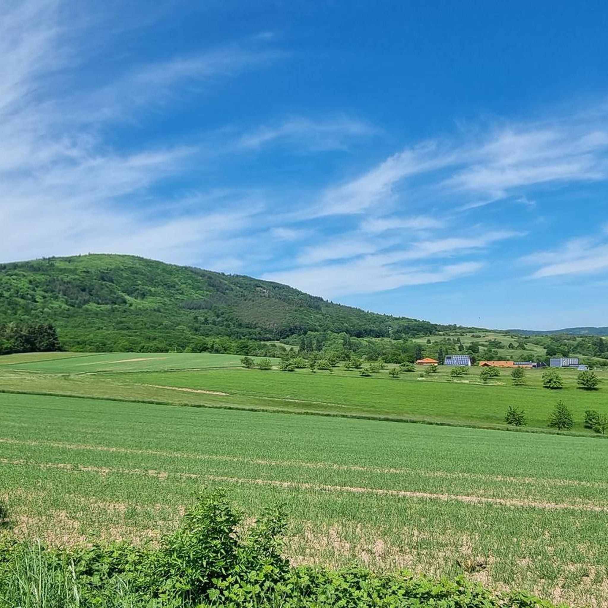
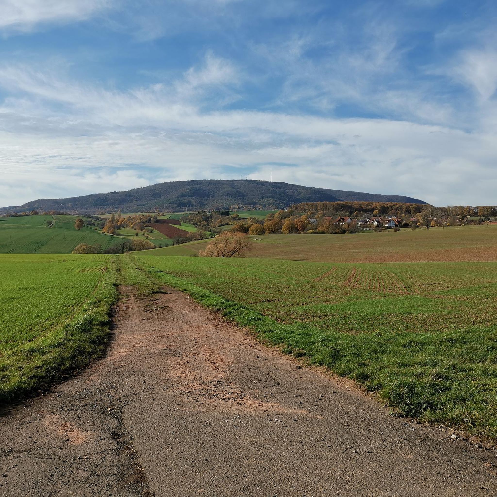
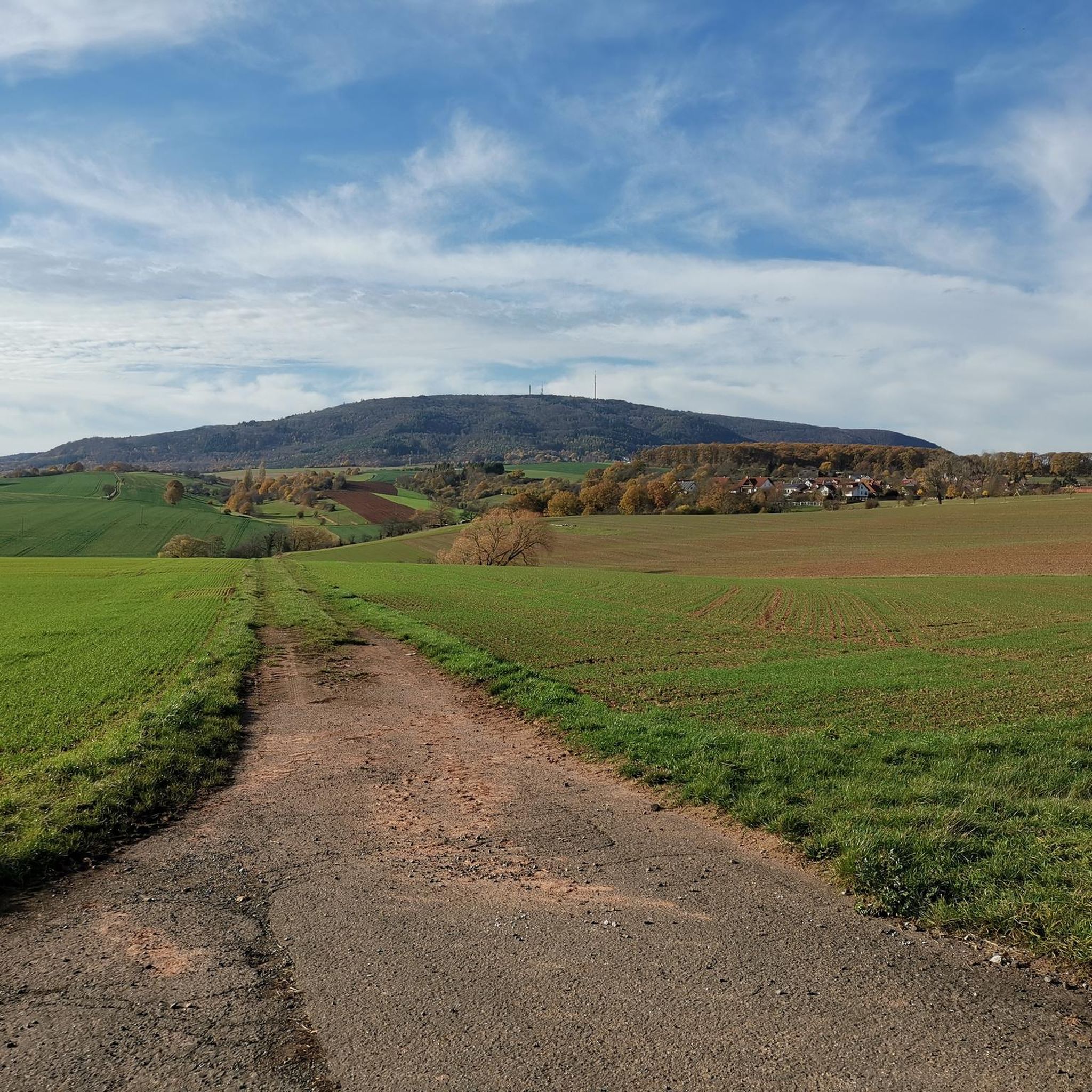
Tips from the Community


We ate very good regional dishes here at fair prices.
0
0
nice place for a break
0
0
great place to stop for refreshments https://www.retzberghuette.de/
0
0
very beautiful old tree
0
0
Ideal for a photo
0
0
Frequently Asked Questions
How many gravel bike trails are available around Weitersweiler?
The Weitersweiler region offers nearly 40 gravel bike trails, providing a wide range of options for different skill levels and preferences. You'll find routes winding through rolling hills, forested sections, and scenic valleys.
Are there beginner-friendly gravel routes in Weitersweiler?
Yes, there are several moderate gravel routes suitable for beginners or those looking for a less strenuous ride. For example, the Eistal Viaduct (Eistalviadukt) – Lake Eiswoog and Viaduct loop from Münchweiler (Alsenz) is a moderate 18.4-mile path that explores the scenic Eistal valley, passing by impressive viaducts and Lake Eiswoog.
What are some challenging gravel routes for experienced riders?
For experienced gravel bikers seeking a challenge, routes like the Steinbacher Pond – Keiperweg loop from Kirchheimbolanden offer significant elevation gain over 24.4 miles. Another demanding option is the Bockbach Valley Viaduct – Eistal Viaduct (Eistalviadukt) loop from Kirchheimbolanden, which covers over 40 miles with substantial climbing.
Can I find circular gravel bike routes in the Weitersweiler area?
Many of the gravel bike routes around Weitersweiler are designed as loops, allowing you to start and end at the same point. An example is the Wurzelbuche – Third Sippersfeld Pond loop from Winnweiler, which takes you through varied forest and pond landscapes.
What kind of views or landmarks can I expect along the trails?
The region is rich in natural beauty and interesting landmarks. You can expect to see impressive structures like the Eistal Viaduct, numerous ponds, and scenic river valleys. There are also several viewpoints such as the Adlerbogen Viewpoint and Hirtenfels Viewpoint, offering panoramic vistas of the landscape.
Are there any routes that follow river valleys?
Yes, several routes in the Weitersweiler area follow picturesque river valleys. The View of Donnersberg – Appelbach Cycle Path loop from Göllheim-Dreisen, for instance, incorporates sections along the Appelbach, offering a different perspective of the region's waterways.
What is the best time of year for gravel biking in Weitersweiler?
The diverse landscape of Weitersweiler, with its forests and open areas, makes it enjoyable for gravel biking across multiple seasons. Spring and autumn offer pleasant temperatures and vibrant scenery, while summer provides longer daylight hours. Even in winter, many trails remain accessible, though conditions may vary.
Are there places to stop for refreshments or a break along the routes?
While specific cafe stops are not always directly on every trail, the region features various huts and points of interest where you might find opportunities for a break. For example, the Kupferberg Hut and Kronbuchenhütte are located in the broader area and could be incorporated into longer rides or visited nearby.
What do other gravel bikers enjoy most about Weitersweiler?
The area is highly rated by the komoot community, with an average score of 4.9 stars. Reviewers often praise the varied terrain, which includes a mix of forested hills, open valleys, and routes passing by ponds and historic viaducts, making for a diverse and engaging gravel biking experience.
Is it possible to access the gravel trails using public transport?
While many routes start from towns like Kirchheimbolanden or Münchweiler (Alsenz) which may have public transport connections, direct access to all trailheads by public transport can be limited. It's advisable to check local bus or train schedules for specific starting points if you plan to use public transport.
Where can I park my car when gravel biking in Weitersweiler?
Many of the gravel routes around Weitersweiler start from towns and villages like Kirchheimbolanden, Münchweiler (Alsenz), or Winnweiler. These locations typically offer designated parking areas, often near trailheads or town centers, making it convenient to access the trails by car.
Most popular routes around Weitersweiler
Most popular attractions around Weitersweiler

Get inspired with the komoot mobile app


Explore more
Browse the best Gravel rides in other regions.
