The best traffic-free bike rides around Gütenbach
4.7
(651)
8,313
riders
11
rides
No traffic road cycling routes around Gütenbach are situated in the central Black Forest, offering a varied topography for cyclists. The region features elevations ranging from 530 to 1120 meters above sea level, creating a dynamic landscape with both challenging climbs and gentler routes. Cyclists can navigate deep valleys, dark forests, and gentle mountain meadows, primarily on paved surfaces. This area provides a mix of ascents and descents, appealing to road cyclists seeking diverse experiences.
Best no traffic road cycling…
Last updated: June 27, 2026
5.0
(3)
42
riders
32.4km
01:51
720m
720m
Moderate road ride. Good fitness required. Mostly well-paved surfaces and easy to ride.
4.0
(1)
17
riders
31.0km
01:28
420m
420m
Moderate road ride. Good fitness required. Mostly well-paved surfaces and easy to ride.

Sign up for free
5.0
(8)
82
riders
Moderate road ride. Good fitness required. Some segments of this route may be unpaved and difficult to ride.
5.0
(1)
13
riders
Moderate road ride. Good fitness required. Some segments of this route may be unpaved and difficult to ride.
4.0
(1)
6
riders
Easy road ride. Great for any fitness level. Mostly well-paved surfaces and easy to ride.
Get access to more routes and recommendations from other explorers.
Sign up for free
Already have an account?
Our route recommendations are based on thousands of hikes, rides, and runs completed by other people on komoot.
Start today with a free account
Your next adventure awaits.
Login or Signup
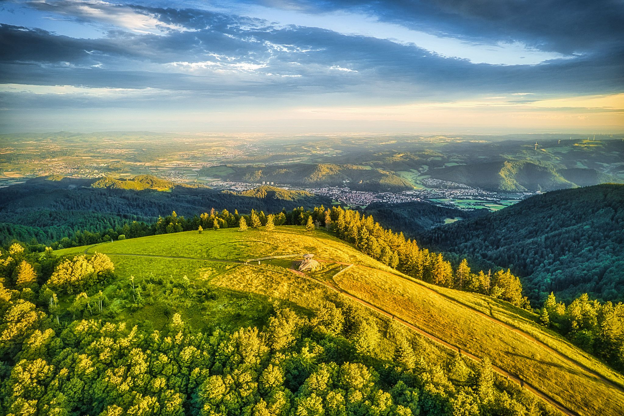
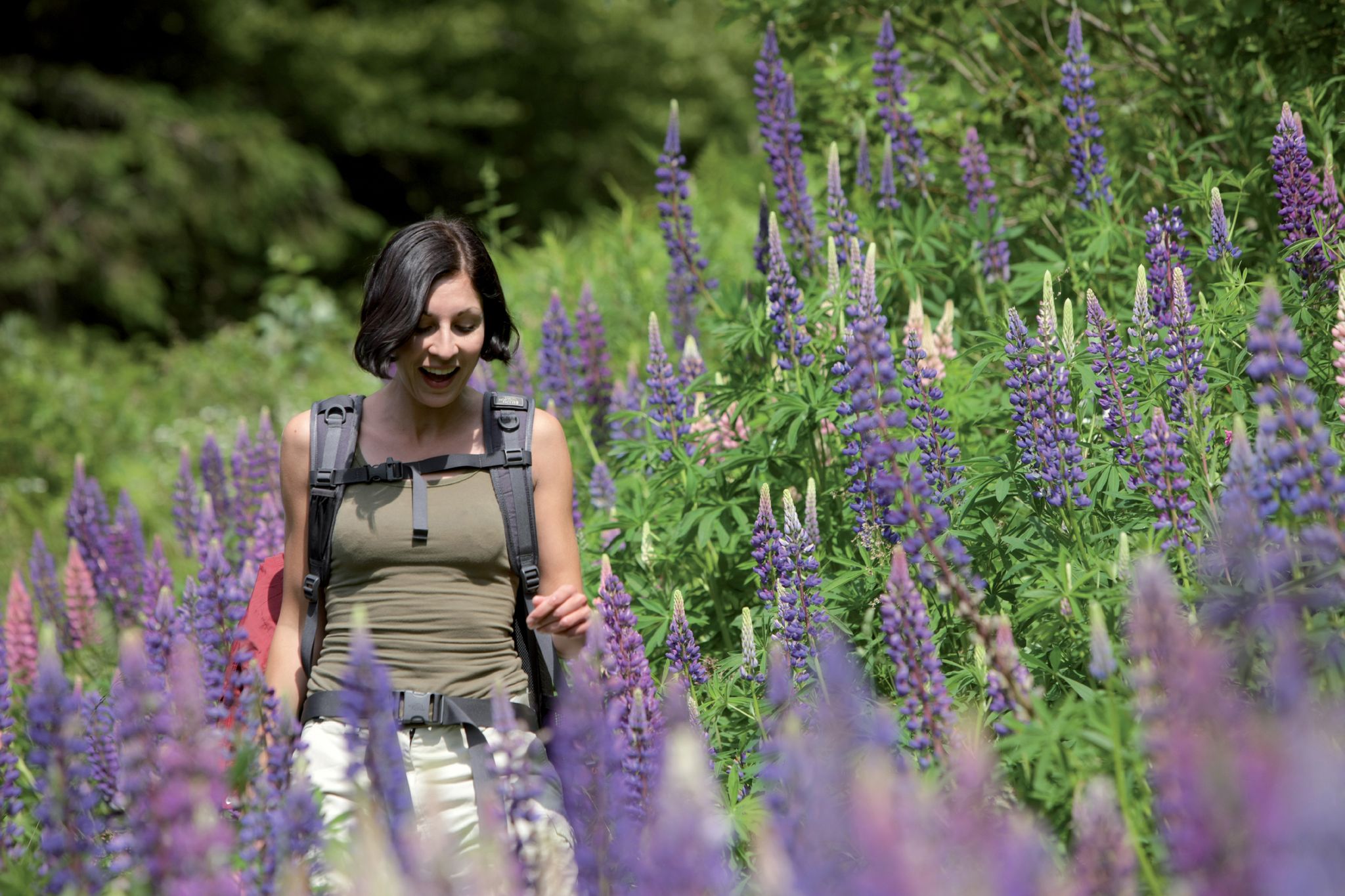



Tips from the Community

Very pleasant, traffic-calmed ascent to Schwärzenbach
0
0

The view over the Black Forest meadows is a dream!
0
0

Beautiful little cycle path, away from traffic
0
0

A beautiful view of the valley
0
0


Via the Blindensee (Fuchsbach) high moor to Schonach, via Rohrhardsberg summit - Schwedenschanze to Prechtal, via Weissenbach to Schönwald
0
0
Frequently Asked Questions
How many no-traffic road cycling routes are available around Gütenbach?
There are over 10 dedicated no-traffic road cycling routes around Gütenbach, offering a variety of distances and difficulty levels. These routes are designed to provide a serene cycling experience away from vehicle traffic.
What is the typical elevation gain on these no-traffic road cycling routes?
Gütenbach is nestled in the central Black Forest, with elevations ranging from 530 to 1120 meters. This means routes often feature dynamic landscapes with both ascents and descents. For example, the Hohtal Valley Road – Hexenlochmühle loop from Furtwangen includes over 700 meters of elevation gain, while the Katzensteigstraße – Moorland Below Blindensee loop from Furtwangen has around 440 meters.
Are there easy no-traffic road cycling routes suitable for beginners in Gütenbach?
Yes, there are a couple of easy no-traffic road cycling routes perfect for beginners or those looking for a more relaxed ride. An example is the Schonach Village Park – Idyll by the roadside loop from Schonach im Schwarzwald, which is under 14 km with moderate elevation.
Are there challenging no-traffic road cycling routes for experienced cyclists?
Absolutely. The varied topography of the Black Forest provides challenging options. There is at least one difficult route, and many moderate routes feature significant elevation changes, such as the Stockwald Scenic Road – Villingen Old Town (Historic Centre) loop from Triberg, which covers over 50 km with more than 750 meters of climbing.
What natural attractions can I see along the no-traffic road cycling routes?
The region is rich in natural beauty. You might encounter stunning waterfalls like the Triberg Waterfalls or the more rugged Zweribach Waterfalls. The legendary Blindensee, a lake within a hilly moorland, is also a notable sight, with a boardwalk allowing you to explore its delicate ecosystem.
Are there any notable viewpoints or landmarks on these routes?
Yes, the Black Forest offers numerous scenic spots. You could visit the Kandel Summit and Lookout Pavilion for panoramic views, or the Brend Tower. The unique natural monument of Balzer Herrgott, a crucifix encased in an ancient sycamore tree, also offers a glimpse into local culture and nature.
What is the typical duration of no-traffic road cycling routes around Gütenbach?
The duration varies significantly based on the route's length and elevation. Shorter, easier routes like the Schonach Village Park loop can take around 40 minutes, while longer, more challenging rides such as the Stockwald Scenic Road loop can take over 2.5 hours.
Are the no-traffic road cycling routes around Gütenbach typically circular?
Many of the no-traffic road cycling routes in the Gütenbach area are designed as loops, allowing you to start and finish at the same point. This is convenient for parking and exploring the surrounding area without needing to retrace your steps.
When is the best time of year for no-traffic road cycling in Gütenbach?
The central Black Forest, including Gütenbach, is ideal for cycling during the warmer months, typically from late spring through early autumn. The 'wildly romantic landscape' with its deep valleys and forests is particularly beautiful when the weather is mild, offering pleasant conditions for exploring the extensive network of trails.
What do other road cyclists enjoy the most about road cycling in Gütenbach?
The komoot community highly rates the road cycling experience in Gütenbach, with an average score of 4.7 out of 5 stars. Reviewers often praise the region's 'wildly romantic landscape,' the extensive network of paved, low-traffic roads, and the stunning views offered by the varied topography, from deep valleys to gentle mountain meadows.
Are these no-traffic road cycling routes suitable for families with children?
While many routes involve significant elevation changes, some of the easier, shorter no-traffic routes can be suitable for families with older children who are comfortable with road cycling. Always check the route's difficulty and elevation profile, such as the Schonach Village Park loop, to ensure it matches your family's fitness level.
Most popular routes around Gütenbach
Most popular attractions around Gütenbach

Get inspired with the komoot mobile app


Explore more
Browse the best Road cycling routes in other regions.
