The best traffic-free bike rides around Oberelz
4.6
(1196)
6,025
riders
260
rides
No traffic touring cycling routes around Oberelz traverse a landscape shaped by its volcanic past, featuring rolling hills, dense forests, and distinctive crater lakes known as maars. The region, part of the Volcanic Eifel, offers diverse terrain with deep river valleys and extensive meadows. Cyclists can expect routes that wind through picturesque nature, often rewarding with views over the Eifel's varied environment. This area provides a network of well-maintained routes suitable for touring cycling.
Best no traffic touring cycling routes…
Last updated: May 15, 2026
4.0
(7)
22
riders
20.1km
01:26
250m
250m
Moderate bike ride. Good fitness required. Mostly paved surfaces. Suitable for all skill levels.
4.7
(3)
21
riders
38.1km
03:10
570m
570m
Hard bike ride. Very good fitness required. Mostly paved surfaces. Suitable for all skill levels.

Sign up for free
5.0
(1)
19
riders
37.8km
03:16
490m
490m
Hard bike ride. Very good fitness required. Mostly paved surfaces. Suitable for all skill levels.
17
riders
Moderate bike ride. Good fitness required. Mostly paved surfaces. Suitable for all skill levels.
5.0
(4)
11
riders
25.9km
01:50
370m
370m
Moderate bike ride. Good fitness required. Mostly paved surfaces. Suitable for all skill levels.
Get access to more routes and recommendations from other explorers.
Sign up for free
Already have an account?
Our route recommendations are based on thousands of hikes, rides, and runs completed by other people on komoot.
Start today with a free account
Your next adventure awaits.
Login or Signup
Popular around Oberelz
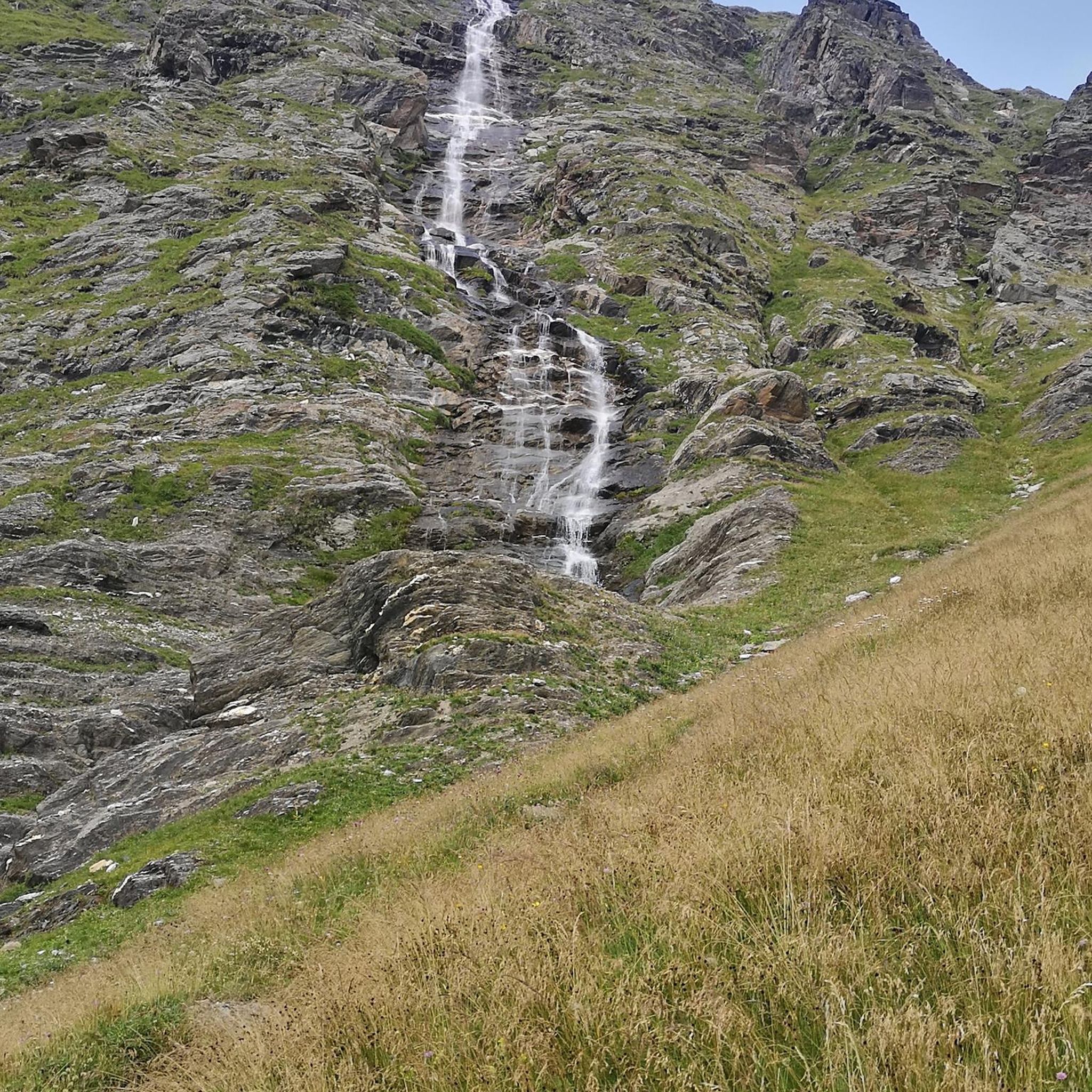
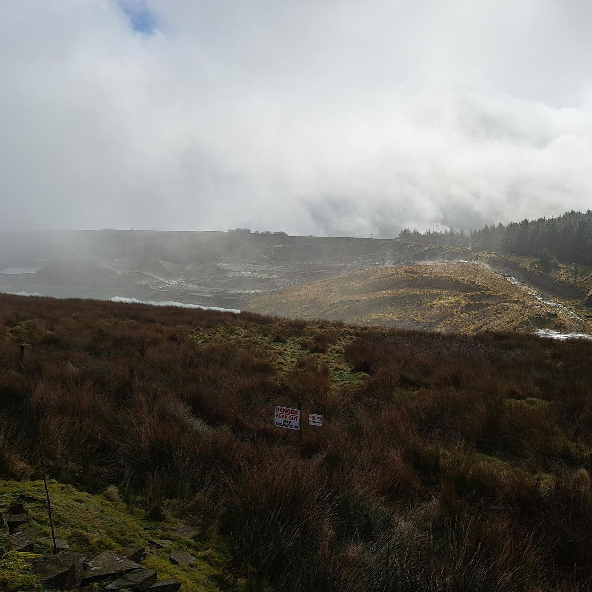
Tips from the Community

The combination of the natural environment and the challenge for riders makes Hocheichen an important and popular section of the "Green Hell". 🌍❤️ The name "Hocheichen" comes from the striking oak trees that line the route, giving it a unique, natural atmosphere. 🌲🌿
0
0

A must for motorsport fans, always worth a visit.
2
0

A true paradise stretches out on the edge of the village of Ulmen on a plateau beneath the Steimelskopf, where a volcano once erupted with a tremendous bang, forming a deep crater with a maar lake, which now serves as a renowned bird sanctuary. The exact age of the Jungferweiher lake cannot be determined, but its morphological shape suggests it is several hundred thousand years old. In early modern times, the Lords of Ulmen used the lake as a fishpond for carp breeding, until it gradually silted up over time, and the residents of Ulmen harvested peat from the former maar for heating purposes. However, in 1942, the decision was made to flood the area again by damming the Ulmener Bach to secure the drinking water supply for the Cochem-Zell district. Today, the Jungferweiher lake, located at an altitude of 428 meters above sea level, covers an area of approximately 170,000 square meters with a depth of 0.8 meters. The pond, along with the Ulmener Maar, is protected for its rare flora and fauna. Many endangered species, such as the snipe and the meadow pipit, breed in the reed-rich banks, while ospreys have been observed hunting. Migratory birds such as cranes, teals, and great grey shrikes roost in the meadows near the Ulmener Jungferweiher every year. Therefore, a walk along the approximately 3-kilometer loop is a must, especially during the migration periods in spring and autumn. At the bird observatory on the western bank, you can observe the birds in their natural habitat. Nowadays, a wide variety of fish species thrive in the shallow waters of the Ulmener Weiher, which can be fished from a fishing pier on the southern bank. Swimming and other water sports are prohibited, however. Fishing permits are issued by the local municipal administration in Ulmen. Since 2023, the Ulmener Maar Tunnel has connected the Jungferweiher underground to the Ulmener Maar. A visit to the 126-metre-long tunnel is highly recommended!
7
0
1 million years of geology. Worth putting your bike aside for a moment.
6
0
The fairy-tale fountain at the Alten Postplatz tells a story. Here, on this spot, it is at its most beautiful.
7
0

On the Elztal cycle path between Gunderath and Uersfeld, there is a very quiet rest area with a bench, picnic table and the "Schacht Bergkrone" climbing tower.
0
0

Great area for e-bike riding was fun
0
0
Frequently Asked Questions
How many no-traffic touring cycling routes are available around Oberelz?
There are over 260 dedicated no-traffic touring cycling routes around Oberelz. These routes cater to various skill levels, with 28 easy, 142 moderate, and 97 difficult options, ensuring a suitable ride for every cyclist.
What kind of terrain can I expect on no-traffic cycling routes in the Volcanic Eifel?
The Volcanic Eifel region, where Oberelz is located, offers diverse terrain shaped by its geological past. You'll encounter rolling hills, dense forests, and ancient volcanic formations known as maars. Many routes utilize former railway lines, like the Maifeld Cycle Path, which means gentle gradients and car-free surfaces, often rewarding cyclists with spectacular views after climbs.
Are there any family-friendly no-traffic cycling routes near Oberelz?
Yes, the region offers several routes suitable for families, particularly those built on former railway lines which feature gentle gradients and are car-free. While specific 'easy' routes are available, it's always good to check the elevation profile for younger riders. For example, routes around the Ulmener Maar often provide scenic and relatively flat sections.
Can I bring my dog on the no-traffic cycling trails around Oberelz?
Many natural trails and paths in the Eifel region are dog-friendly, provided dogs are kept on a leash, especially in nature reserves or near wildlife. Always check local signage on specific routes. The quiet nature of no-traffic routes makes them generally suitable for cycling with a well-behaved dog.
What natural features or landmarks can I see along these routes?
The no-traffic routes around Oberelz often pass by stunning natural features and historical landmarks. You might cycle past volcanic maars like the Ulmener Maar or the Maiden Pond. Historical sites such as Monreal Historic Old Town and the Löwenburg Ruins are also accessible. The region is also known for its deep river valleys, forests, and picturesque Heiligenhäuschen (small shrines).
Are there any circular no-traffic cycling routes available?
Yes, many of the no-traffic routes around Oberelz are designed as circular loops, allowing you to start and end at the same point. An example is the moderate route, Jungfer Pond – Ulmener Maar Tunnel loop from Lirstal, which offers a scenic tour without needing a return trip. You can find various circular options across different difficulty levels.
What is the best time of year to go touring cycling in Oberelz?
The Eifel region is beautiful throughout spring, summer, and early autumn. Spring brings blooming wildflowers, while summer offers warm weather ideal for longer rides. Autumn provides stunning foliage, making for picturesque cycling. Always check the local weather forecast before heading out, as conditions can vary.
Where can I find parking for these no-traffic cycling routes?
Parking is generally available in and around Oberelz, as well as at the starting points of many popular cycling routes in the wider Eifel region. Look for designated parking areas in villages or near trailheads. Some routes, especially those on former railway lines, often have dedicated parking facilities.
How can I access the no-traffic cycling routes using public transport?
Public transport options, including regional buses and trains, connect various towns and villages in the Eifel, some of which are close to cycling routes. It's advisable to check the specific public transport schedules and bike carriage policies for the Eifel region, as these can vary. Planning your route to start or end near a public transport hub can be convenient.
What do other touring cyclists enjoy most about cycling in Oberelz?
The area is highly rated by the komoot community, with an average score of 4.6 stars. Reviewers often praise the peacefulness of the no-traffic routes, the diverse and picturesque landscapes, and the well-maintained paths that make for an enjoyable touring cycling experience. The unique volcanic features and charming villages are frequently highlighted.
Are there any cafes or restaurants along the no-traffic cycling routes?
Yes, many villages and towns along the cycling routes in the Eifel region offer cafes, restaurants, and pubs where you can stop for refreshments or a meal. It's a good idea to plan your route to include these stops, especially on longer rides. Some routes, like the Maifeld Cycle Path, are known for having various rest stops and eateries along the way.
Most popular attractions around Oberelz

Get inspired with the komoot mobile app


Explore more
Browse the best Cycling routes in other regions.
