The best traffic-free bike rides around Ködnitz
4.5
(6)
38
riders
35
rides
Gravel biking around Ködnitz offers diverse terrain, situated on the edge of the Franconian Forest and near the Fichtel Mountains. The region is characterized by extensive forested and hilly landscapes, with routes sometimes traversing more mountainous areas. Riverine landscapes are also present near the confluence of the Red and White Main rivers, providing varied scenery for no traffic gravel bike trails.
Best no traffic gravel bike trails around Ködnitz
- The most popular no traffic gravel bike trail is Ebersbach Kneipp…
Last updated: August 7, 2026
4.0
(3)
6
riders
24.1km
01:42
330m
330m
Moderate gravel ride. Good fitness required. Mostly paved surfaces. Suitable for all skill levels.
5.0
(1)
3
riders
53.2km
03:33
730m
730m
Hard gravel ride. Very good fitness required. Mostly paved surfaces. Suitable for all skill levels.

Sign up for free
5.0
(1)
3
riders
16.0km
01:22
340m
340m
Hard gravel ride. Good fitness required. You may need to push your bike for some segments of this route.
5
riders
Hard gravel ride. Very good fitness required. Mostly paved surfaces. Suitable for all skill levels.
5
riders
38.8km
02:31
540m
540m
Hard gravel ride. Very good fitness required. Mostly paved surfaces. Suitable for all skill levels.
Get access to more routes and recommendations from other explorers.
Sign up for free
Already have an account?
Our route recommendations are based on thousands of hikes, rides, and runs completed by other people on komoot.
Start today with a free account
Your next adventure awaits.
Login or Signup
Popular around Ködnitz
Tips from the Community

Beautiful old well in the center of the market square with the inscription: Errichtet von Staat & Stadt
10
0
The white tower belongs to the old town tour and is part of the older city fortifications. It was a debtors' prison until the 19th century.
9
1

unfortunately no longer managed, in a narrow street, the trail continues from the gravel parking lot, or opposite towards Kleinziegenfelder Tal, do not take the road
0
0

Design: This is a handcrafted, approximately two-meter-high panoramic heart made of steel, bearing the inscription "Görauer Anger." Function: The structure serves as a selfie spot and picture frame for the Jura landscape. It is equipped with a rotating seat. Location: The sculpture is located on the Görauer Anger, a scenic plateau on the edge of the Swabian Alps, offering views of the Kulmbach region and Plassenburg Castle.
1
1

There used to be up to 150 sawmills along the streams in the Franconian Forest valleys. The sawmill at the blast furnace in the Steinach Valley ceased operation in 1980.
19
0

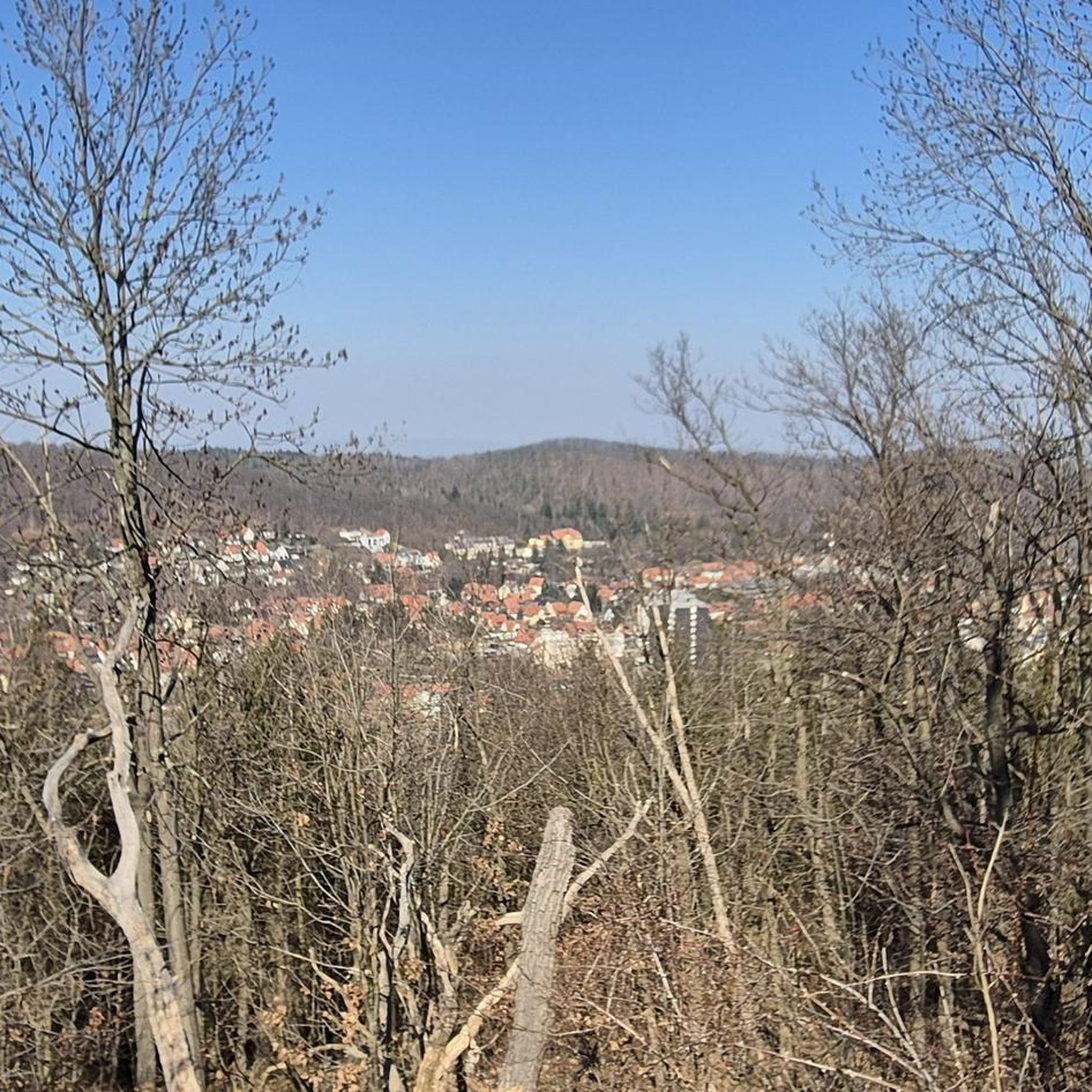
Wonderful view and a really nice hiking trail.
2
0


At the foot of the Radpitze mountain above Seibelsdorf, an absolutely imaginative children's playground has been built. Kids can actively participate, and the Kneipp facility has been well integrated. Truly worth a visit.
1
0
Frequently Asked Questions
How many traffic-free gravel bike trails are available around Ködnitz?
There are over 35 dedicated traffic-free gravel bike trails around Ködnitz, offering a wide range of options for different skill levels. Most routes are rated moderate to difficult, with a few easier options available.
What kind of terrain can I expect on gravel bike trails near Ködnitz?
The terrain around Ködnitz is highly diverse, blending elements of road and mountain biking. You'll encounter a mix of paved roads and unpaved paths, often with challenging climbs and scenic trails through the Franconian Forest and sometimes touching the Fichtel Mountains. Expect varied surfaces, from compacted gravel to forest tracks.
Are there any easy, family-friendly gravel bike routes without traffic?
Yes, while many routes are moderate to difficult, there is at least one easy route suitable for beginners or families. For a moderately challenging but rewarding experience, consider the Ebersbach Kneipp Foot Bath – Spitzeichener Tower loop from Kulmbach, which offers a good introduction to the region's gravel biking.
What are some notable landmarks or natural features I can see along the routes?
Many routes offer opportunities to see significant landmarks and natural features. You might pass by the dramatic Steinach Gorge, a unique natural monument, or the historic Plassenburg Fortress near Kulmbach. The Main Confluence and Kieswäsch Lake in the Mainaue Recreation Area are also popular spots.
What is the best season for gravel biking in Ködnitz?
The diverse landscapes around Ködnitz are generally best enjoyed from spring through autumn. During these seasons, the weather is typically favorable for cycling, and the natural beauty of the Franconian Forest and surrounding areas is at its peak. Winter conditions, especially in higher elevations, can bring snow and ice, making some trails more challenging or inaccessible.
Are there any circular gravel bike routes available?
Yes, many of the traffic-free gravel bike trails around Ködnitz are designed as circular routes, allowing you to start and end at the same point. An example is the Peesten Dance Lime Tree – View from Görauer Anger loop from Mainleus, which offers a longer, challenging loop through scenic areas.
Where can I find parking for these gravel bike trails?
While specific parking areas aren't always explicitly marked for each trail, many routes start from towns or villages like Kulmbach, Mainleus, or Lehenthal, where public parking is generally available. It's advisable to check the starting point of your chosen route for local parking options.
What do other gravel bikers enjoy most about the trails in Ködnitz?
The area is highly rated by the komoot community, with an average score of 4.7 stars. Reviewers often praise the 'rugged beauty' and 'untouched nature' of the Franconian Forest, the challenging climbs, and the rewarding 'dreamlike views' from various viewpoints along the trails.
Are there any routes that include a swimming spot or a place to relax by the water?
Yes, some routes offer access to water features. For instance, the Waldschwimmbad Wirsberg (Wirsberg Forest Swimming Pool) – Schorgast Trail loop from Neuenmarkt-Wirsberg passes by a forest swimming pool, offering a potential spot for a refreshing break. Additionally, the Mainaue Recreation Area with Kieswäsch Lake is a popular destination for cyclists looking to relax by the water.
Are there any routes with significant elevation gain for experienced riders?
Absolutely. Many of the gravel routes around Ködnitz are rated difficult and feature significant elevation gains, catering to experienced riders with good basic fitness. For example, the Peesten Dance Lime Tree – View from Görauer Anger loop from Mainleus includes over 760 meters of ascent, providing a challenging and rewarding experience.
Can I access these gravel trails using public transport?
Access to the region's gravel trails via public transport is possible, particularly to larger towns like Kulmbach or Mainleus, which serve as common starting points for many routes. From these locations, you can often connect directly to the trail network. It's recommended to check local bus and train schedules for specific connections to your desired starting point.
Most popular attractions around Ködnitz

Get inspired with the komoot mobile app


Explore more
Browse the best Gravel rides in other regions.
