The best road cycling routes in Lower Kartli
4.9
(24)
399
riders
9
rides
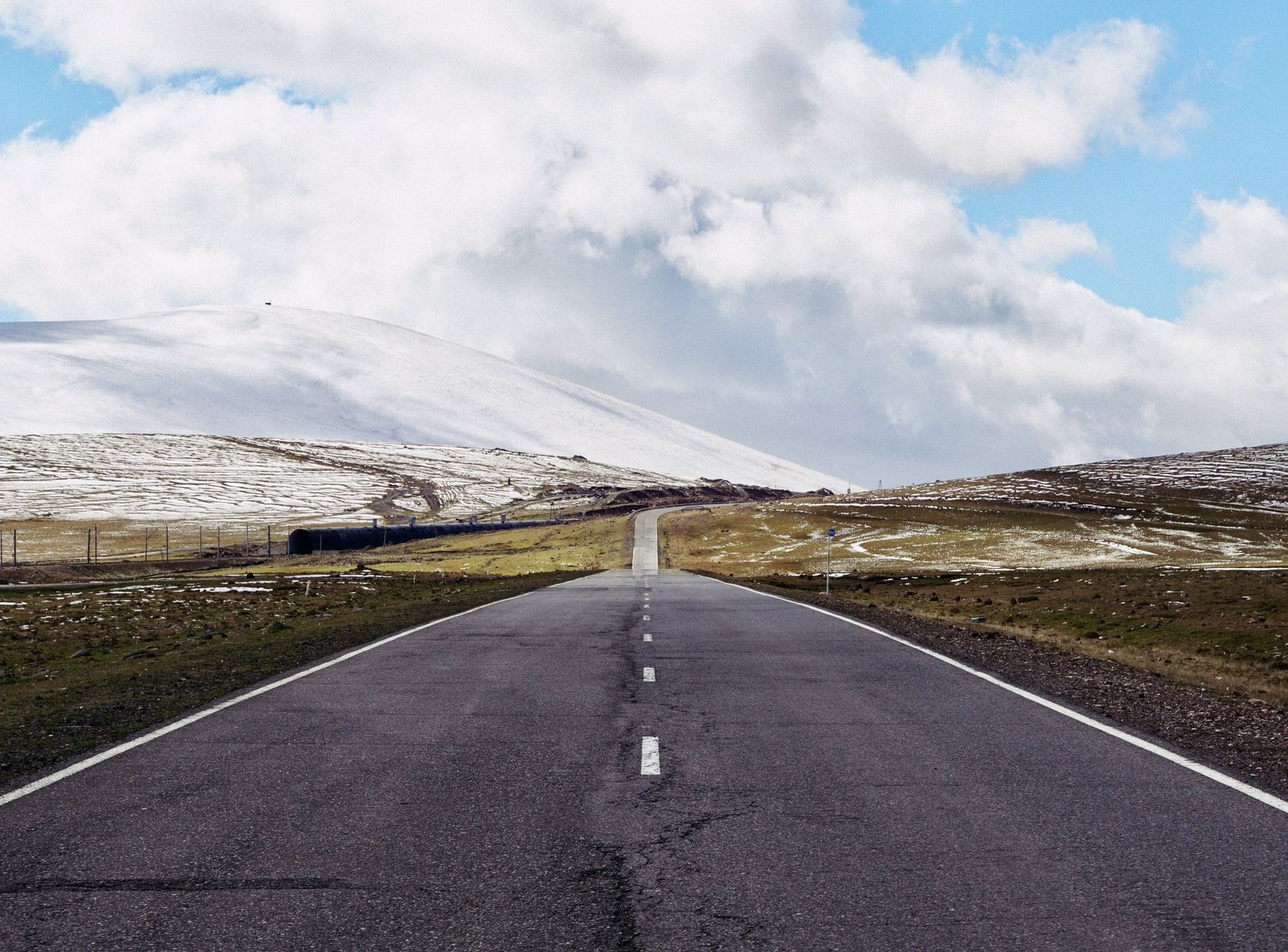
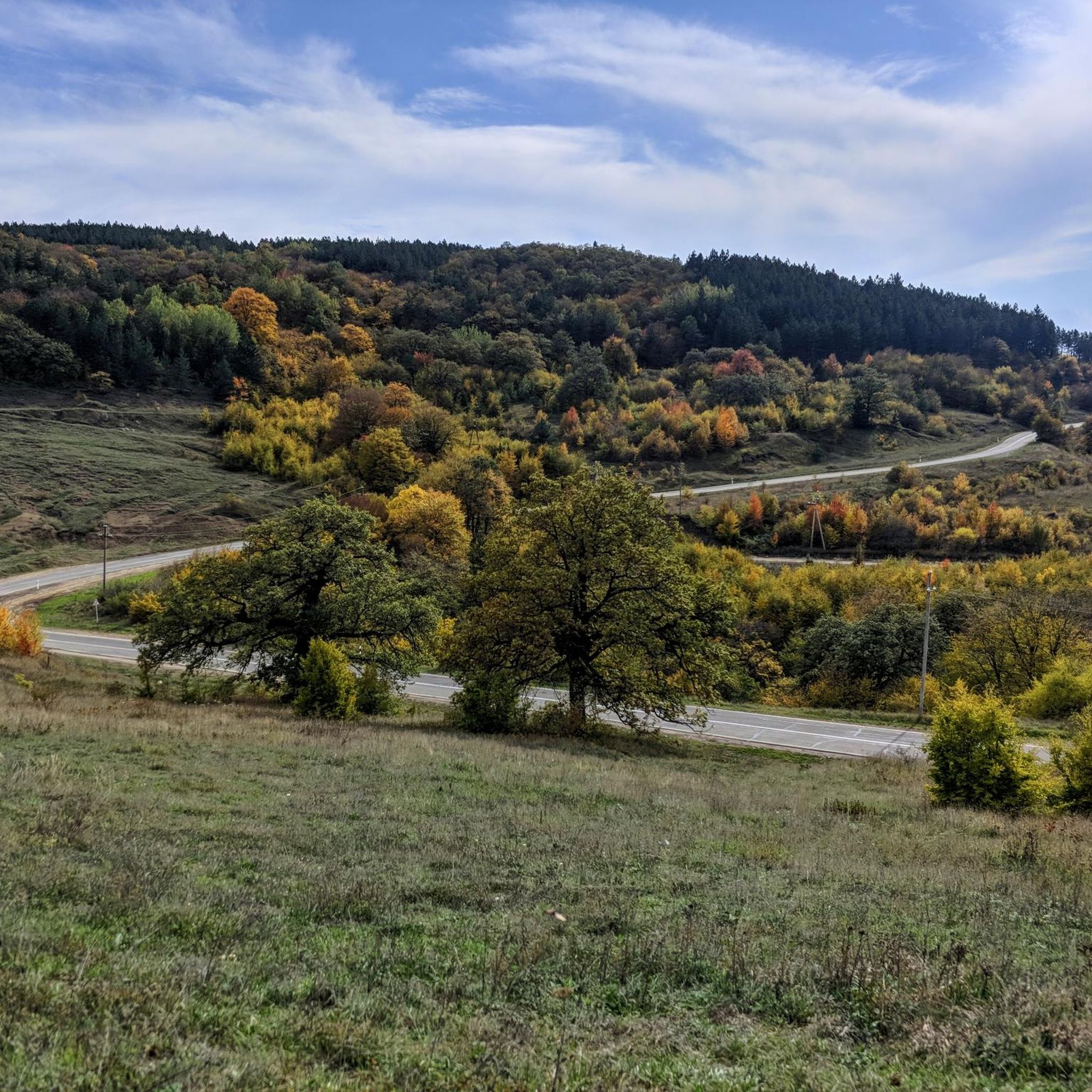
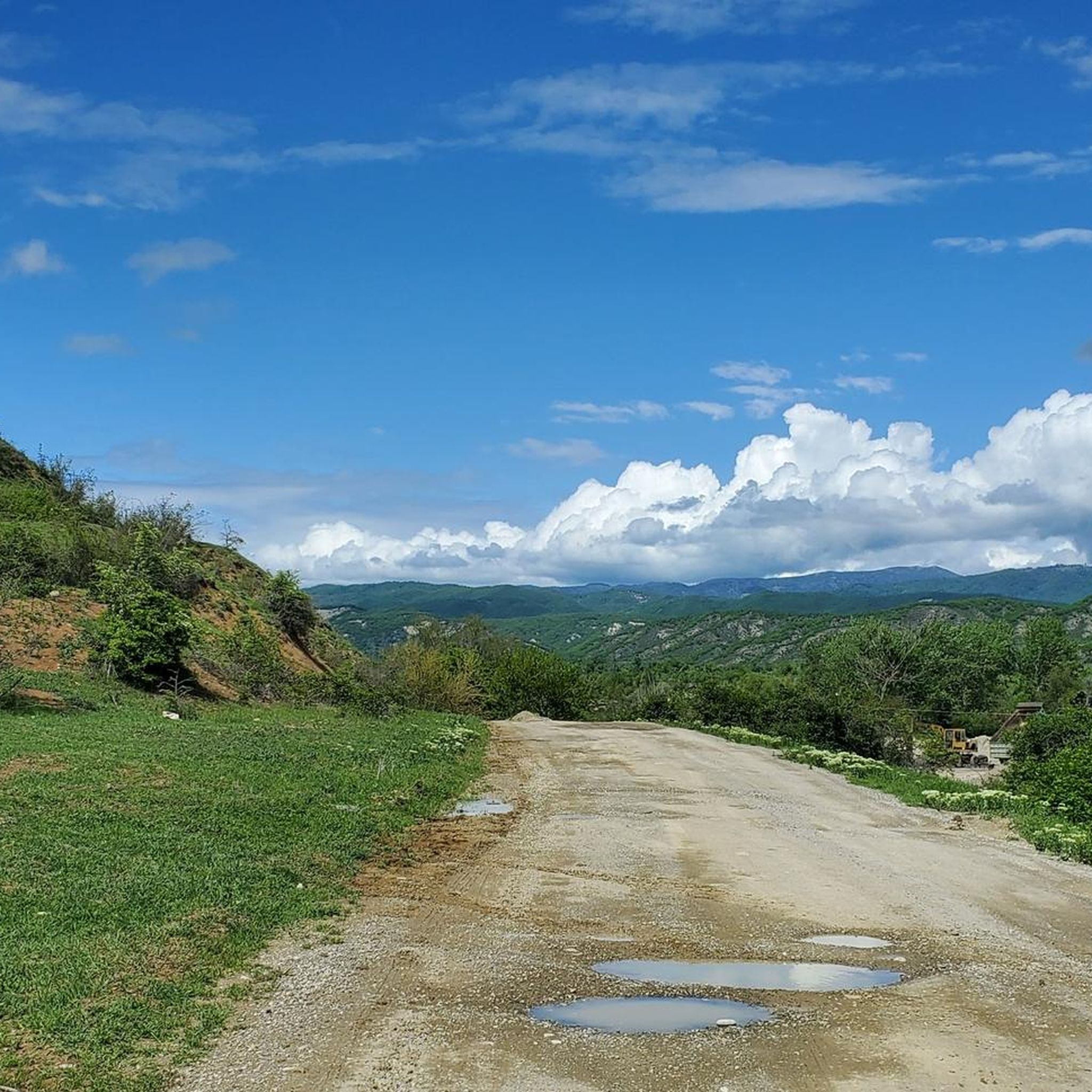
Road cycling in Lower Kartli features diverse terrain, ranging from semi-deserts to alpine areas, mountains, canyons, and forests. The region includes parts of the Trialeti Range and Algeti National Park, offering varied elevations and landscapes. Cyclists encounter routes with paved surfaces, alongside segments that may be unpaved. The area is characterized by its natural features such as canyons, lakes, and river valleys, providing a dynamic environment for road cycling.
Best road cycling routes in Lower Kartli
- The most popular road…
Last updated: October 28, 2026
4.6
(9)
110
riders
49.7km
02:18
510m
510m
Moderate road ride. Good fitness required. Some segments of this route may be unpaved and difficult to ride.
5.0
(6)
101
riders
38.0km
02:14
890m
890m
Moderate road ride. Good fitness required. Mostly well-paved surfaces and easy to ride.

4.5
(4)
70
riders
Hard road ride. Very good fitness required. Some segments of this route may be unpaved and difficult to ride.
5.0
(1)
29
riders
127km
07:13
2,690m
2,690m
Hard road ride. Very good fitness required. Mostly well-paved surfaces and easy to ride.
5
riders
23.7km
01:12
350m
350m
Moderate road ride. Good fitness required. Mostly well-paved surfaces and easy to ride.
5.0
(1)
9
riders
21.4km
01:16
330m
330m
Moderate road ride. Good fitness required. Mostly well-paved surfaces and easy to ride.
8
riders
Easy road ride. Mostly well-paved surfaces and easy to ride.
5.0
(1)
5
riders
Moderate road ride. Good fitness required. Mostly well-paved surfaces and easy to ride.
3
riders
Easy road ride. Mostly well-paved surfaces and easy to ride.
Our route recommendations are based on thousands of hikes, rides, and runs completed by other people on komoot.
Start today with a free account
Your next adventure awaits.

Other adventures in Lower Kartli

Tips from the Community

According to legend, King Vakhtang I Gorgasali discovered the hot springs in the 5th century while hunting, after his falcon and a pheasant fell into them. Impressed by the warm water, he decided to found a city right here. The name "Tiflis" (Georgian Tbilisi) derives directly from the Old Georgian word "tbili", which translates to "warm". As Tiflis was located directly on the ancient Silk Road, the bathhouses developed over centuries into central social meeting places for merchants, travelers, and locals. The bathhouses are fed by natural thermal springs, 38°C to 50°C hot, bubbling up from deep within the earth. The water is extremely rich in sulfur and other minerals.
0
0

Such a beautiful bridge, but unfortunately full of vendors offering boat tours and photos.
0
0

The Peace Bridge is an arched pedestrian bridge over the Mtkvari River in the Georgian capital, Tbilisi. The 150-meter-long, covered bridge was opened on May 6, 2010, and connects Tbilisi's Old Town with the newly designed Rike Park, not far from the Presidential Palace. It is located between the Barachvili and Metheki Bridges and was designed by the Italian architect Michele De Lucchi.
9
0
The original name of the church is unknown. Its current name is taken from a supposedly miraculous 12th-century icon of the Savior, which had been kept in the church since the 17th century and is now on display in the Georgian State Museum of Arts in Tbilisi. The silver icon (Georgian: Khati) came from the Anchi Church in southern Georgia. Its creator was Beka Opisari, a master silversmith of his era (Wikipedia).
7
0

The oldest church in the city. An impressive building.
0
0
You have to cross this bridge! It offers beautiful photo opportunities of the city and the Kura River. The park invites you to linger or take a hot air balloon ride.
0
0

Built between 1880 and 1896 by the German architects Schröter and Stern in the Moorish style that was popular at the time.
0
0

Very beautiful church with impressive old paintings. Unfortunately many parts are difficult to see but still impressive. Access not really suitable for wheelchairs.
0
0
Frequently Asked Questions
How many road cycling routes are available in Lower Kartli?
Lower Kartli offers a diverse network of over 15 road cycling routes. These routes cater to various skill levels, including easy, moderate, and difficult options, ensuring there's something for every cyclist.
What kind of terrain can I expect when road cycling in Lower Kartli?
Road cycling in Lower Kartli features incredibly diverse terrain. You'll encounter everything from semi-deserts and alpine areas to mountains, canyons, and lush forests. The region includes parts of the Trialeti Range and Algeti National Park, offering varied elevations and landscapes. While many routes are paved, some segments may be unpaved, adding to the adventure.
Are there beginner-friendly road cycling routes in Lower Kartli?
Yes, Lower Kartli has several routes suitable for beginners. There are 4 easy-rated routes designed for those new to road cycling or looking for a more relaxed ride. An example of a moderate route that could be suitable for improving beginners is the Mtatsminda – Lakeside Path loop from ვილნიუსის მოედანი, which covers 24.8 km.
What natural attractions can I see while road cycling in Lower Kartli?
Lower Kartli is rich in natural beauty. Cyclists can explore dramatic landscapes such as the Dashbashi Canyon, Tsalka Canyon, and Khrami River Gorge. Routes often pass by scenic lakes like Zalka (Tsalka) Lake and follow river valleys like the Algeti River. You might also encounter parts of the Trialeti Range and Algeti National Park, offering stunning views and diverse ecosystems. For a specific natural highlight, consider visiting Birtvisi Canyon.
Are there historical or cultural sites along road cycling routes in Lower Kartli?
Absolutely. Lower Kartli is steeped in history. You can cycle past ancient castles, churches, and monasteries. Notable sites include the David Gareja Monastery Complex, the Dmanisi Sioni and Archaeological Site, the ruins of Samshvilde, and the Kldekari Fortress. For example, the Natlismtsemeli Monastery, part of the Davit Gareja Monasteries Complex, is a significant religious building you might encounter.
What do other road cyclists think about the routes in Lower Kartli?
The road cycling routes in Lower Kartli are highly regarded by the komoot community, with an average rating of 4.8 out of 5 stars from over 20 reviews. More than 450 road cyclists have used komoot to explore the region, often praising the varied terrain and scenic beauty.
Are there challenging road cycling routes for experienced riders in Lower Kartli?
Yes, experienced road cyclists will find plenty of challenging options. There are 5 difficult-rated routes in Lower Kartli, featuring significant elevation gains and longer distances. A prime example is the View of Tbilisi – Mtatsminda loop from ისანი, a 123.7 km route with over 2,600 meters of elevation gain.
Are there circular road bike routes in Lower Kartli?
Many of the road cycling routes in Lower Kartli are designed as loops, offering convenient starting and ending points. For instance, the Roadbike loop from მარჯანიშვილი is a popular 38.0 km circular path that traverses varied terrain.
What is the best season for road cycling in Lower Kartli?
Lower Kartli offers good cycling conditions for much of the year due to its diverse climate. Spring and autumn generally provide the most pleasant temperatures for road cycling, with vibrant landscapes. Summer can be warm, especially in lower elevations, while higher areas might offer cooler rides. Winter can bring colder temperatures and snow to mountainous regions, making some routes less accessible.
Are there viewpoints along the road cycling routes in Lower Kartli?
Yes, many routes in Lower Kartli offer spectacular viewpoints. Given the region's varied terrain, including mountains and canyons, cyclists can expect numerous opportunities to stop and admire panoramic vistas. The View of Tbilisi – Mtatsminda loop from ისანი, for example, is known for its elevated viewpoints overlooking the city. You can also find specific viewpoints like the View from the Upper Point marked as highlights.
Can I find long-distance road cycling routes in Lower Kartli?
Yes, Lower Kartli provides options for long-distance road cycling. Several routes extend beyond 50 km, with the longest recorded route being over 120 km. These longer routes often traverse multiple types of terrain and offer extensive exploration of the region's natural and cultural landmarks.
Are there routes that offer lakeside views in Lower Kartli?
Yes, some road cycling routes in Lower Kartli feature beautiful lakeside scenery. Zalka (Tsalka) Lake, Georgia's largest reservoir, is a prominent feature in the region, and routes around it provide picturesque views. An example is the Mtatsminda – Lakeside Path loop from მარჯანიშვილი, which offers scenic lakeside views.
Most popular routes in Lower Kartli
Most popular attractions in Lower Kartli

Get inspired with the komoot mobile app


Explore more
Browse the best Road cycling routes in other regions.
