The best road cycling routes in Louisiana
4.6
(38)
1,619
riders
131
rides
Road cycling in Louisiana offers a diverse experience across its generally flat terrain, characterized by extensive river levees, scenic bayous, and pine forests. The state's landscape provides numerous opportunities for cyclists to explore its unique natural features and cultural heritage. Routes often follow the Mississippi River, wind through wetlands, or traverse forested areas, with minimal elevation changes. This makes Louisiana an accessible destination for various road cycling abilities.
Best road cycling routes in Louisiana
- The most popular road cycling route is Mississippi River Levee Trail, an easy 26.0 miles (41.8 km) trail that takes 1 hour 50 minutes to complete. This route offers expansive views along the historic Mississippi River.
- Another top favourite among local road cyclists is Mississippi River and Lake Pontchartrain Loop, a moderate 38.4 miles (61.7 km) path. It combines riverfront perspectives with scenic views of Lake Pontchartrain.
- Local road cyclists also love the Tammany Trace, a 58.8 miles (94.7 km) trail leading through pine forests and wetlands, often completed in about 4 hours 7 minutes.
- Road cycling in Louisiana is defined by Mississippi River levees, tranquil bayous, and quiet roads through pine forests. The network offers options for easy, moderate, and more difficult routes, catering to various ability levels.
- The routes in Louisiana are highly rated by the komoot community with an average score of 4.5 stars from over 30 reviews. More than 1,400 road cyclists have used komoot to explore Louisiana's varied terrain.
Last updated: August 31, 2026
5.0
(3)
68
riders
41.8km
01:50
30m
30m
The Mississippi River Levee Trail offers a uniquely open and expansive road cycling experience, with continuous, unobstructed views of the iconic Mississippi River. You'll be riding on a wide, paved surface, making for a smooth and consistent journey. The flat terrain and lack of technical challenges mean you can focus on the scenery and the rhythm of your ride, enjoying the fresh air and the vastness of the river landscape.
Planning your trip is relatively simple for this accessible route. While specific parking isn't detailed, you can usually find public access points along the levee, particularly near urban areas like the Baton Rouge Waterfront. Given its easy difficulty and 1 hour and 50 minutes estimated duration for 26.0 miles (41.8 km) with only 98 feet (30 metres) of elevation gain, it's a great option for a casual morning or afternoon ride. Remember to carry water, as the levee can be exposed to the sun.
This trail is a prime example of popular paved levee trails along the Mississippi River, offering a distinct perspective on one of America's most famous waterways. It provides a fantastic opportunity for beginner road cycling or for anyone seeking a relaxed, easy ride without significant climbs. The continuous levee path allows for an immersive experience with the river, making it a notable cycling destination in Louisiana.
4.0
(1)
44
riders
61.7km
02:50
20m
20m
This moderate 38.4-mile (61.7 km) road cycling route, with a minimal 56 feet (17 metres) of elevation gain, offers a diverse ride that takes about 2 hours and 49 minutes. You'll experience the dynamic scenery of the Mississippi River levee paths, watching river traffic, before transitioning to the vast, open views of Lake Pontchartrain along its lakefront. The flat, paved terrain makes it accessible, but the distance and potential for wind mean you'll still get a good workout.
Planning your ride means understanding the unique challenge of truly looping both waterways; the Lake Pontchartrain Causeway is typically closed to cyclists, so you'll connect existing paths and urban streets. Be mindful of the exposed sections along the lakefront where winds can be strong, and always prepare for Louisiana's heat and humidity, especially during warmer months.
This route provides a fascinating look at the engineering marvel of the levee system and the unique juxtaposition of two major waterways. It's one of the best road cycling routes near New Orleans for experiencing the region's distinct riverine culture and expansive lake vistas, offering a comprehensive tour of the area's natural and man-made features.

Sign up for free
5.0
(4)
54
riders
94.7km
04:06
70m
70m
The Tammany Trace offers a fantastic opportunity for a long, leisurely road cycling adventure, stretching for 58.8 miles (94.7 km) with a very manageable 234 feet (71 metres) of elevation gain. This moderate route, which typically takes around 4 hours and 6 minutes to complete, follows a dedicated cycle way, providing a smooth and consistent surface for your ride. You'll experience a pleasant journey through St. Tammany Parish, making it one of the popular trails routes for those who enjoy covering distance without significant climbing. The highlight of the route is the Tammany Trace itself, a well-maintained path that makes for enjoyable cycling.
When planning your visit, consider that the Tammany Trace is easily accessible from various points, and you'll find trailhead parking available along its length. If you're wondering how long does it take to cycle Tammany Trace, the estimated duration of just over four hours gives you a good idea for planning your day. For those without their own wheels, Tammany Trace bike rentals are often available in nearby towns, making it easy to get started. Spring and fall are generally the best times to visit, offering cooler temperatures for this extended ride.
This trail is a prime example of a rails-to-trails conversion, transforming an old railway line into a recreational path. This history contributes to its flat, consistent terrain, which is ideal for road cycling. The Tammany Trace is a significant local landmark, providing a green corridor through the parish and connecting several communities. It's a great option if you're looking for a long, uninterrupted ride in a pleasant, natural setting.
21
riders
147km
07:09
90m
90m
The Mississippi River Trail in Louisiana offers a unique road cycling experience, primarily along the historic river's levees. You'll enjoy expansive riverfront views, often spotting large cargo ships, and pass through varied scenery from urban landmarks like the State Capitol in Baton Rouge to rural stretches with ancient oak trees and towering grain elevators. While mostly flat, the sheer distance and exposure to winds make this a challenging ride.
This difficult 91.2-mile (146.7 km) route involves 280 feet (85 metres) of elevation gain and takes approximately 7 hours and 9 minutes to complete. Given the lack of shade and potential for heat, starting early in the day is crucial, and carrying plenty of water and sun protection is a must. Parking is available at various access points, including Audubon Park in New Orleans and Jefferson Park.
Part of a larger 3,000-mile designated trail tracing the entire Mississippi River, this Louisiana section provides a distinctive opportunity to engage with the region's history and culture. Its elevated position on the levees offers a traffic-free vantage point, making it a popular route for those seeking a long, immersive ride along one of America's most iconic waterways.
4.5
(2)
6
riders
47.4km
01:51
10m
10m
The NOLA City Tour offers a fantastic road cycling experience, immersing you in the unique culture and diverse landscapes of New Orleans. This easy 29.5-mile (47.4 km) route, with a minimal 37 feet (11 metres) of elevation gain, guides you through historic districts like the French Quarter and past iconic landmarks such as the Pontalba Buildings. You'll enjoy scenic stretches along the Mississippi River and Lake Pontchartrain, as well as through the expansive green spaces of Audubon Park, all on mostly well-paved, flat surfaces.
Planning your ride is straightforward, as the route is accessible for nearly all fitness levels and takes approximately 1 hour and 51 minutes to complete. While New Orleans is bike-friendly with many lanes, be aware that some street surfaces can be uneven. The best time for cycling is typically during the cooler months, from late fall through spring, to avoid the intense summer heat and humidity.
What makes this route truly special is its ability to connect you intimately with the city's soul, showcasing its vibrant urban life, colonial architecture, and natural beauty. It's a comprehensive way to explore diverse neighborhoods and green spaces, offering a more extensive view than a walking tour. The route highlights the city's distinct character, from the historic mansions along Esplanade Avenue to the tranquil paths of Bayou St. John.
5
riders
113km
04:19
0m
0m
The Chef Menteur Highway to West Pearl Bridge offers a distinctive road cycling experience through the unique marshlands and natural areas of New Orleans East. You'll pedal past houses on stilts and along the fringes of the Bayou Sauvage National Wildlife Refuge, with historical landmarks like Fort Macomb adding interest to the journey. The terrain is predominantly flat and well-paved, making it a moderate 70.1 miles (112.7 km) ride that emphasizes endurance over climbing, perfect for those who enjoy long, steady efforts.
Planning your ride requires a crucial note: the West Pearl River Drawbridge, which marks the route's end, has been closed indefinitely since May 2022, with no repairs anticipated before 2028. This means you won't be able to complete the full advertised distance as originally intended. While the route is generally accessible, be mindful that dedicated cycling infrastructure is limited, and traffic can be present, especially on the Chef Menteur Highway itself. Always carry sufficient water, particularly in warmer weather.
This route stands out for its length and the opportunity to explore the less-seen eastern side of New Orleans, offering a different perspective than typical city rides. It's part of U.S. Route 90, connecting New Orleans and Slidell, and provides a unique glimpse into the region's coastal environment. The minimal 3 feet (1 metres) of elevation gain means you can focus on the scenery and the rhythm of your ride, which typically takes around 4 hours and 18 minutes.
5.0
(1)
8
riders
34.3km
01:19
10m
10m
If you're looking for easy bike rides around Port Pontchartrain, this route delivers a wonderfully scenic experience. You'll glide along the well-maintained Lake Pontchartrain Lakefront Trail, enjoying expansive views of the lake, often with sailboats and waterfowl. The historic Port Pontchartrain Lighthouse stands as a charming landmark, and you can even spot the distant Lake Pontchartrain Causeway, making for a picturesque journey.
Planning your visit is straightforward, as parking is generally available along the lakefront, providing easy access to the trail. For the most memorable experience, aim to cycle during sunrise or sunset, when the light casts a beautiful glow over the water. This 21.3-mile (34.3 km) road cycling route is rated easy, with only 18 feet (5 metres) of elevation gain, and takes about 1 hour and 19 minutes to complete.
This route is part of the larger vision for a "Ring Around Lake Pontchartrain Bike Trail," offering a safe, multi-use path that blends natural beauty with a touch of history. It's an excellent choice for family friendly cycling, providing a relaxed and accessible way to explore the shores of Lake Pontchartrain and enjoy scenic views without a strenuous effort.
4.0
(1)
3
riders
49.5km
01:56
140m
140m
Embark on the Wallace Lake Loop for an easy racebike ride through the serene Louisiana countryside. This route spans 30.8 miles (49.5 km) and features a gentle elevation gain of 464 feet (141 metres), making it perfect for a relaxed outing. You can expect to complete the loop in about 1 hour and 56 minutes, enjoying the peaceful atmosphere of quiet country roads. As you cycle, you'll experience the calm rural scenery, with glimpses of Wallace Lake providing a refreshing backdrop. The smooth roads offer a pleasant escape, allowing you to focus on the ride and the surrounding nature.
Planning your ride on the Wallace Lake Loop is straightforward, as the route is generally accessible throughout the year, offering consistent conditions for road cycling. You will find parking typically available near the starting point, making it convenient to begin your adventure. Before heading out, always remember to check local conditions, especially for any unexpected road closures that might affect your journey. This ensures a smooth and uninterrupted experience on the road.
This loop stands out for its focus on providing a tranquil road cycling experience away from urban hustle. It offers a unique opportunity to connect with the natural environment of the Louisiana countryside, characterized by its flat terrain and lush greenery. The route's design emphasizes a continuous flow, allowing you to maintain a steady pace and fully immerse yourself in the peaceful surroundings. It's an ideal choice if you are looking for a consistent and enjoyable ride without significant challenges.
6
riders
94.0km
04:06
40m
40m
Embark on a journey along the Mississippi River Trail, where you'll find yourself cycling atop vast levees, offering unparalleled views of the iconic river. This route provides a unique perspective of the landscape, transitioning from natural riverbanks to urban backdrops, including glimpses of the historic Algiers Point Historic District. The terrain is largely flat, making it an accessible yet rewarding experience for those who appreciate long, scenic rides.
Planning your visit is straightforward, as this section of the Mississippi River Trail is predominantly paved and often separated from vehicle traffic, ensuring a peaceful ride. While specific trailhead parking isn't detailed, numerous access points along the levee system are available. For the most comfortable experience, consider cycling during the cooler seasons, and always bring ample water for this extensive route.
What makes this trail truly stand out is its designation as part of the US Bicycle Route 45, highlighting its importance for scenic travel and its connection to the Great River Road. It offers a blend of natural beauty, historical richness, and cultural immersion, providing unique vantage points of the Mississippi River from dedicated causeways and levee tops. This segment is a fantastic way to experience the river's grandeur and historical significance.
2
riders
54.3km
02:07
10m
10m
The Chalmette & Belle Chasse route offers a captivating road cycling experience, guiding you through a diverse tapestry of lush wetlands, serene bayous, and impressive Mississippi River vistas. You will pedal along levee paths, where the river unfolds beside you, and might even spot local wildlife like armadillos and butterflies, especially when passing near the Woodlands Conservancy. This journey feels like a true exploration, blending natural beauty with moments of historical reflection.
Planning your ride on this moderate 33.8-mile (54.3 km) route, which takes about 2 hours and 6 minutes with only 39 feet (12 metres) of elevation gain, is straightforward. Parking is available at various points along the route, and it is a good idea to bring plenty of water, especially if you are cycling during warmer weather. This trail is well-suited for cyclists looking for a longer, scenic ride without significant climbing, making it one of the best bike trails in the Belle Chasse area.
What truly sets this route apart are its unique features, including a memorable ferry crossing, such as the Chalmette Ferry, which adds an adventurous twist to your journey. Beyond the natural landscapes, you will encounter significant historical sites like the Chalmette Battlefield and the Algiers Point Historic District, offering glimpses into the region's past. This route is also integrated into a broader bikeway network, connecting with other popular road cycling routes like the Mississippi River Trail.
Get access to more routes and recommendations from other explorers.
Sign up for free
Already have an account?
Our route recommendations are based on thousands of hikes, rides, and runs completed by other people on komoot.
Start today with a free account
Your next adventure awaits.
Login or Signup
Popular around Louisiana
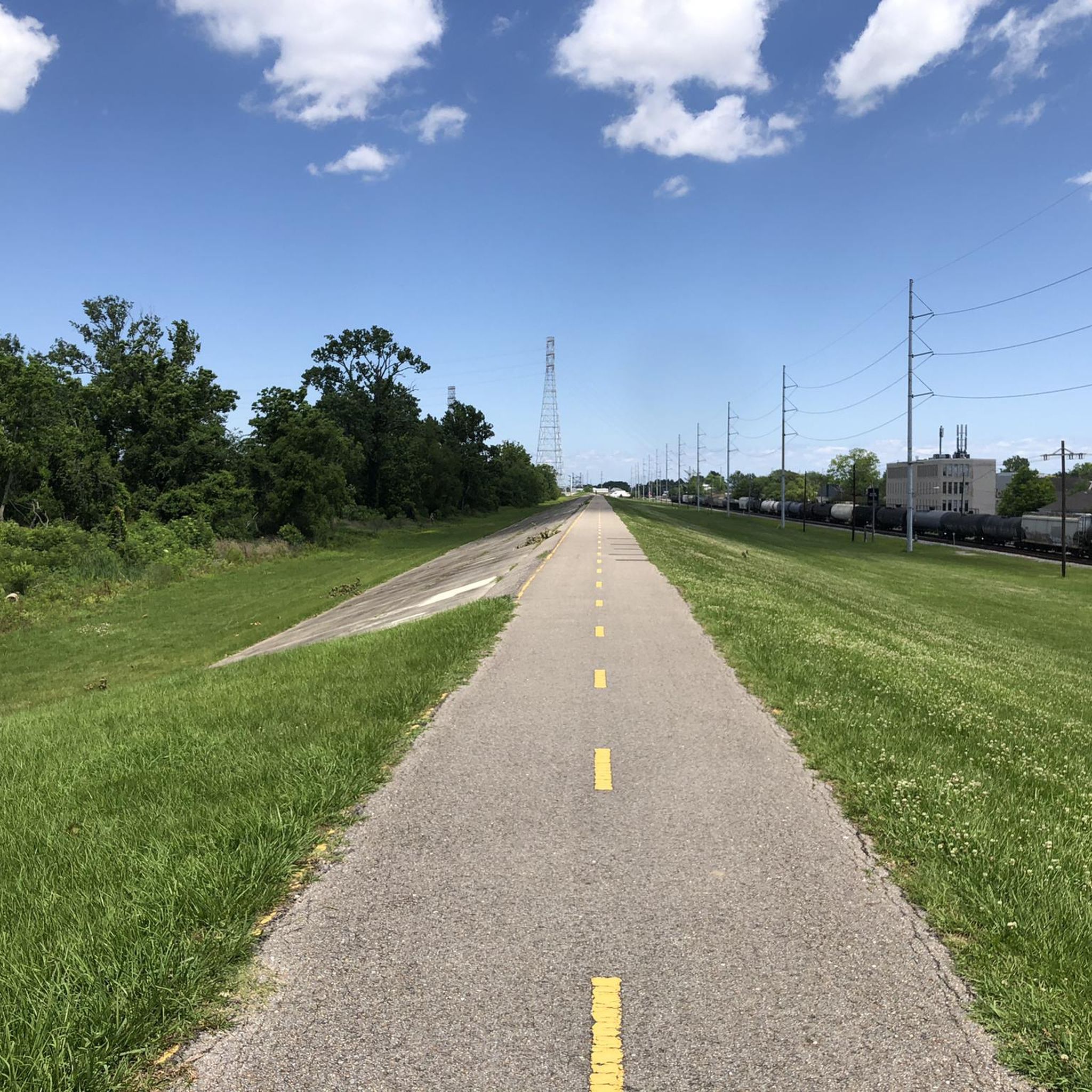
Road Cycling Routes in the Mississippi Delta
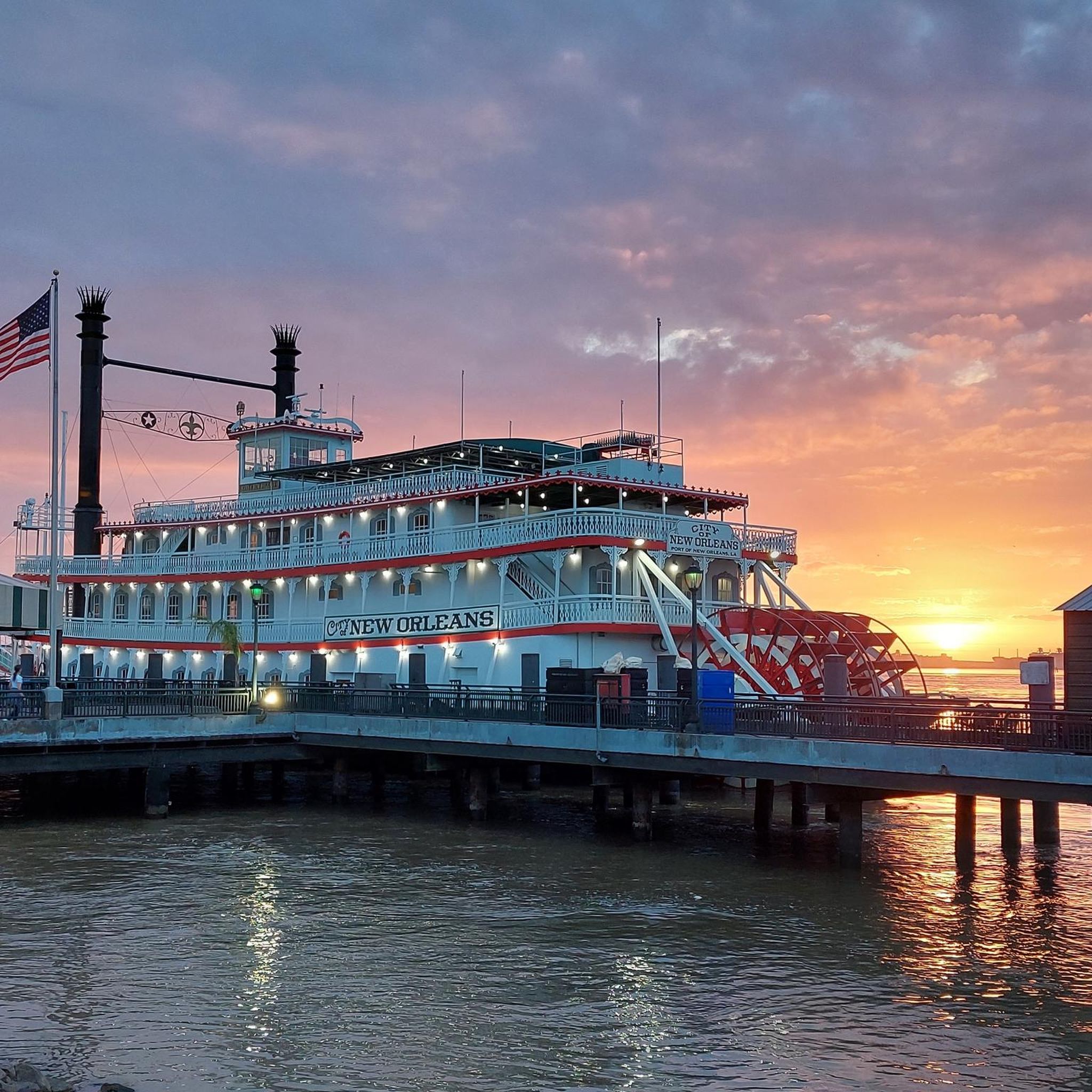
Road Cycling Routes in Orleans Parish
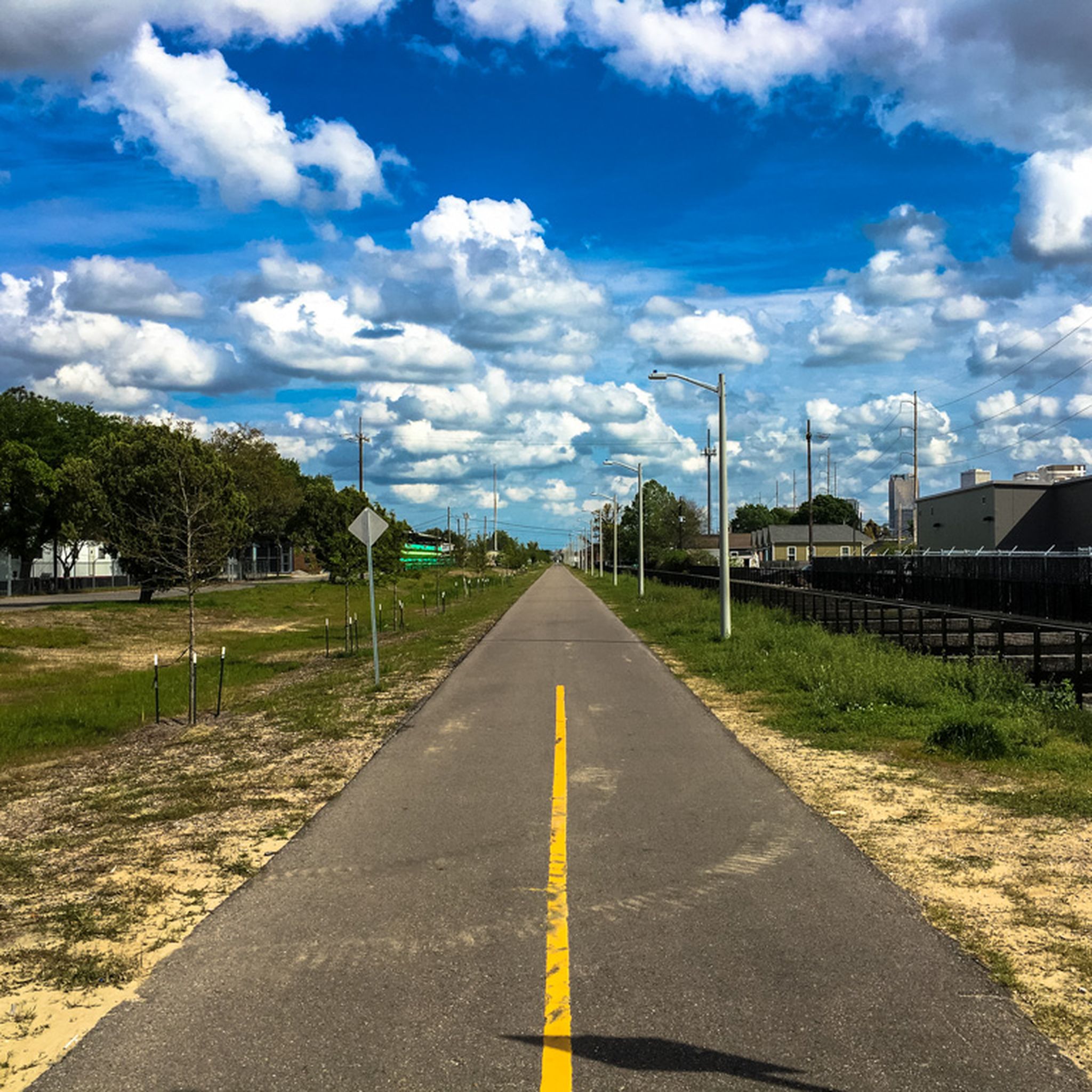
Road Cycling Routes around New Orleans
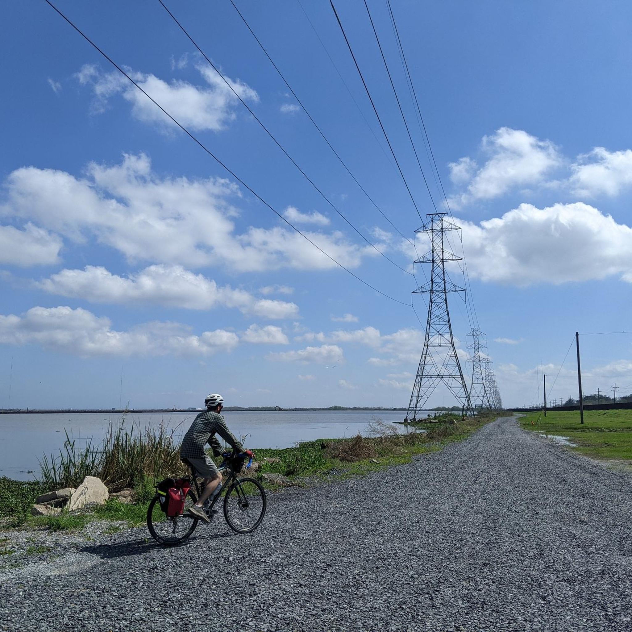
Road Cycling Routes in St. Bernard Parish
Road Cycling Routes in Plaquemines Parish
Road Cycling Routes in St. Tammany Parish

Road Cycling Routes in Lafourche Parish

Road Cycling Routes in Terrebonne Parish
Road Cycling Routes in Jefferson Parish
Road Cycling Routes in West Baton Rouge Parish

Tips from the Community

November 27th 2024 It's still open. You don't even have to lift most bikes. You can mostly go around the barriers. Having the road to yourself is absolutely amazing.
1
0

I'll be through here on October 4th, 2024. It's still passable if you lift your bike over the barrier. After that you have the road to yourself. Quality is still okay.
0
0

The Greenway is one of the best ways to get from Mid-City to Downtown since it is a fully protected route and not in the street. There are a couple of street crossings with crosswalks.
0
0

Very easy to cross for cyclists at the moment (late april 2024). The barriers have enough space for pretty much any touring bike to easily fit through. Chef monteur bridge on road 90 is also closed and even easier to cross
0
0

As of January 2024, it's still possible to go through the closed section by bicycle. The western barrier is open, but you will have to lift your bicycle over the eastern barrier, which might include removing luggage from your bike of course.
0
0
I traveled here on 11/9/23, it does allow “local” traffic. At the blockade it is opened enough for my bike and trailer to get thru. Great to make my journey this way!
1
0

This is a cool public dock that you can walk out onto. You'll have to hop off and push your bike, but it's cool to be able to walk out onto the Mississippi River and look up and down the waterway.
0
0
The Levee Bike Trail follows the Mississippi River south of Baton Rouge. It sticks close to the banks of the river and doesn't really offer any shade since it is in the open the entire time. The path is completely paved and is more popular for cyclists than runners and walkers.
0
0
Frequently Asked Questions
How many road cycling routes are available in Louisiana?
Louisiana offers a wide variety of road cycling experiences, with over 120 routes available on komoot. These routes cater to different preferences, from leisurely rides along scenic waterways to more challenging long-distance journeys.
What kind of terrain can I expect on Louisiana's road cycling routes?
Louisiana's road cycling routes are predominantly flat, characterized by extensive Mississippi River levees, tranquil bayous, and quiet roads winding through pine forests. While much of the state is flat, areas like the Kisatchie National Forest offer a different terrain with magnificent hardwood and pine forests, and even occasional rolling hills.
What is the best time of year for road cycling in Louisiana?
Louisiana's year-round warm weather makes it suitable for road cycling throughout the seasons. Spring offers picturesque adventures with blooming wildflowers, while warmer months provide opportunities to spot active wildlife. Cyclists can enjoy comfortable conditions for most of the year.
Are there options for different skill levels among Louisiana's road cycling routes?
Yes, Louisiana provides road cycling routes for all abilities. The komoot community has identified 69 easy routes, 50 moderate routes, and 5 more difficult options, ensuring there's a suitable ride whether you're a beginner or an experienced cyclist.
What natural features or landmarks can I see along road cycling routes in Louisiana?
Many routes offer views of Louisiana's unique natural beauty. You can cycle past iconic bayous and cypress-tupelo swamps, explore pine forests, or enjoy expansive views of the Mississippi River. Notable natural highlights include Big Lake City Park, Bayou Metairie, and the Sam Houston Jones State Park Cypress Swamp.
Are there any historical sites or cultural attractions accessible by bike?
Absolutely. Louisiana's rich history and culture are often accessible by bike. Routes along the Mississippi River, for instance, can pass historic plantations like Oak Alley Plantation. In New Orleans, you can cycle through historic districts and past landmarks like the Dueling Oaks in City Park.
Are there family-friendly road cycling routes in Louisiana?
Yes, several routes are ideal for families. The Tammany Trace is a popular 31-mile paved rail-trail that runs through pine forests and charming towns, offering a safe and enjoyable experience for all ages. Urban parks in New Orleans, such as City Park and Audubon Park, also provide excellent family-friendly cycling environments.
Can I find circular road cycling routes in Louisiana?
Yes, there are several loop routes available. For example, the Mississippi River and Lake Pontchartrain Loop offers a moderate 38.4-mile ride combining riverfront views with scenic perspectives of Lake Pontchartrain. Another option is the Wallace Lake Loop, an easy 30.8-mile route.
What are some longer distance road cycling options in Louisiana?
For those seeking longer rides, the Mississippi River Trail (Louisiana) offers a challenging 91.2-mile route. Another significant option is the Tammany Trace, which spans 58.8 miles and can be completed in about 4 hours and 7 minutes.
Are there road cycling routes near New Orleans?
New Orleans offers a variety of urban cycling experiences. The NOLA City Tour is an easy 29.5-mile route exploring the city. Cyclists can also explore the oak-lined paths of City Park and Audubon Park, or ride along Lakeshore Drive for scenic views of Lake Pontchartrain.
What do other road cyclists enjoy most about cycling in Louisiana?
The road cycling routes in Louisiana are highly rated by the komoot community, with an average score of 4.5 stars from over 30 reviews. Reviewers often praise the unique landscapes, such as the Mississippi River levees and tranquil bayous, as well as the generally flat terrain that makes routes accessible and enjoyable.
Can I cycle along the Mississippi River in Louisiana?
Yes, cycling along the Mississippi River is a highlight of road biking in Louisiana. The Mississippi River Levee Trail is a popular easy 26.0-mile route offering expansive views of the historic river. The Mississippi River Trail (Louisiana) also provides extensive riverfront perspectives.
Are there routes that explore Louisiana's unique bayous and wetlands?
Yes, Louisiana's iconic bayous and cypress-tupelo swamps offer a distinctive cycling backdrop. Routes through areas like the Atchafalaya Basin National Heritage Area provide opportunities to spot diverse wildlife. The Bayou Teche Scenic Byway, for example, allows cyclists to pedal alongside bayous and marshes, immersing them in these unique ecosystems.
Most popular attractions in Louisiana

Get inspired with the komoot mobile app


Didn’t find what you were looking for?
Check out more Road cycling routes throughout Louisiana below and find the perfect route in your destination.
Explore more
Browse the best Road cycling routes in other regions.
