The best traffic-free bike rides around Thallwitz
4.6
(310)
3,244
riders
128
rides
Road cycling around Thallwitz offers a diverse landscape characterized by rolling hills, expansive meadows, and dense forests, situated on the edge of the Leipziger Neuseenland with numerous lakes. The region features the picturesque floodplain landscape between the Mulde and Lossa rivers, and is part of the Porphyrland Geopark, providing unique geological insights. The terrain includes varied elevations, with some routes featuring gentle climbs and others offering more sustained ascents, all on well-maintained paved surfaces suitable for road bikes. This area…
Last updated: September 30, 2026
4.8
(4)
20
riders
82.7km
03:28
460m
460m
Moderate road ride. Good fitness required. Some segments of this route may be unpaved and difficult to ride.
17
riders
44.8km
01:51
150m
150m
Easy road ride. Great for any fitness level. Mostly well-paved surfaces and easy to ride.

5.0
(1)
17
riders
41.6km
01:47
160m
160m
Easy road ride. Great for any fitness level. Mostly well-paved surfaces and easy to ride.
4.0
(1)
13
riders
38.1km
01:35
100m
100m
Easy road ride. Great for any fitness level. Mostly well-paved surfaces and easy to ride.
4.5
(2)
9
riders
Moderate road ride. Great for any fitness level. Some segments of this route may be unpaved and difficult to ride.
Get access to more routes and recommendations from other explorers.
Already have an account?
Our route recommendations are based on thousands of hikes, rides, and runs completed by other people on komoot.
Tips from the Community

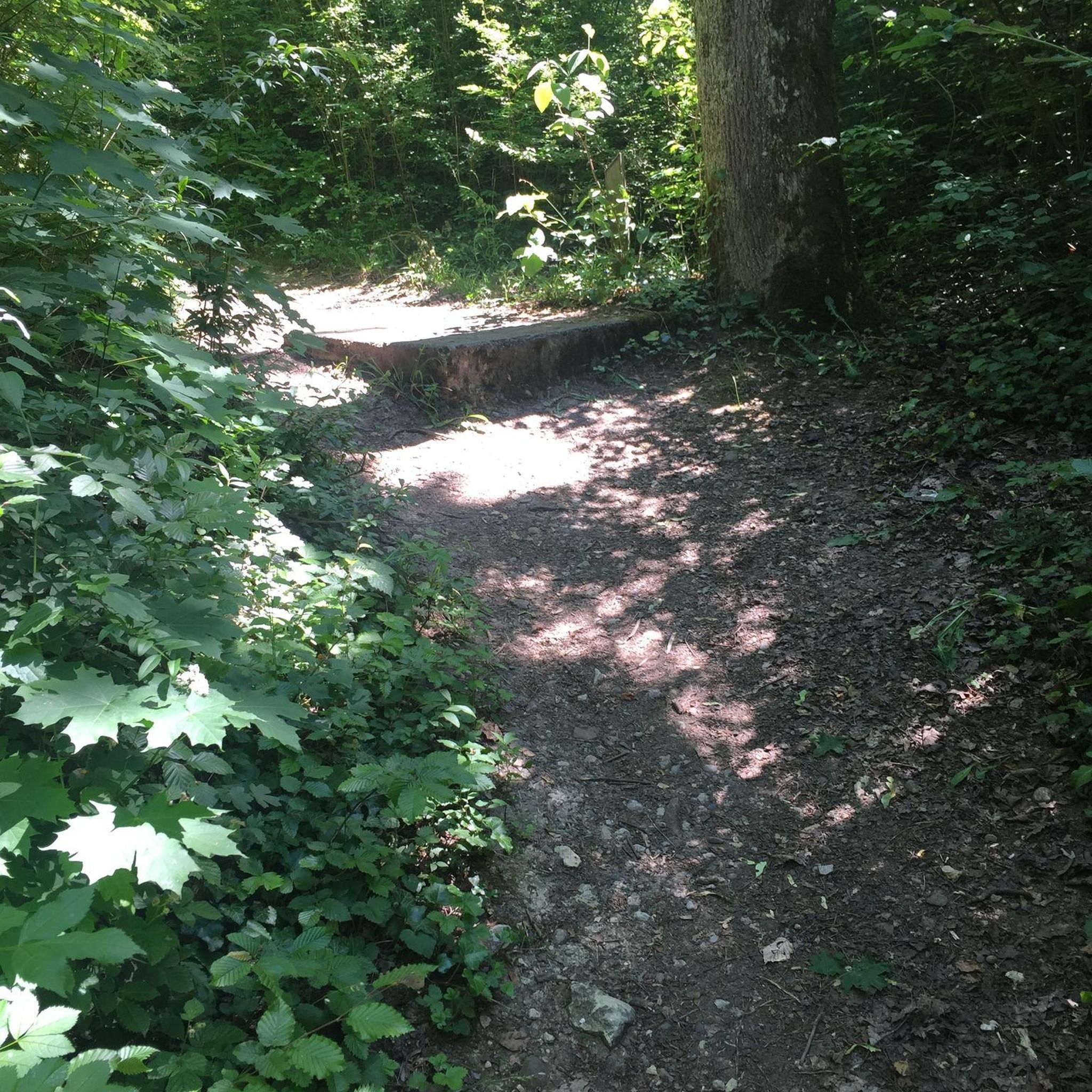
beautiful road through the forest, wonderful to ride!
0
0

The Mulde flows exclusively in the North German Plain, initially through the Saxon Uplands, and passes Grimma, Nerchau, and Trebsen. Approximately near Wurzen, on the western edge of which it flows, the Mulde reaches the Elbe-Mulde Lowland. It then flows through Eilenburg and Bad Düben and shortly thereafter leaves Saxon territory. The remaining course to its mouth is covered by the Mulde in Saxony-Anhalt. Further downstream, until 1975, the Mulde flowed west of the two places Pouch and Friedersdorf in the area of today's Goitzschesee. Since then, it has been dammed up east of the two places in the Muldestausee – a former open-cast mine. Subsequently, the Mulde flows past Muldenstein, Jeßnitz, Raguhn, and Dessau and flows into the Elbe between Dessau and Roßlau after 147 km.[2] The revitalization project "Wilde Mulde" for the lower course in Dessau was recognized in November 2018 as an official project of the UN Decade of Biodiversity.[11][12] Source https://de.wikipedia.org/wiki/Mulde_(Fluss)#Hochwasser
4
0
Although the confluence of the two source rivers takes place at approximately half the total length of the Mulde, the Freiberger Mulde and Zwickauer Mulde already contribute over 80% of the total water volume. This is due to the shape of the catchment area, which is very wide in the Ore Mountains and narrows towards the Elbe, and also to the higher precipitation in the mountains and simultaneously higher proportion of runoff water. The shape of the catchment areas also means that the longer Zwickauer Mulde is the smaller of the two source rivers at the confluence. The hydrologically strongly dominating main branch of the Freiberger Mulde river system is the Zschopau. In its upper catchment area, it is again a named tributary, the Flöha, that contributes the larger water flow and is thus the actual source river of the Mulde. Along this main flow path, the Mulde is approximately 267 kilometers long, and along the longest flow path (Zwickauer Mulde) a good 314 kilometers.[3] The Mulde catchment area shows total drops of 600 to 900 meters for many important flow paths, so that exceptionally high flow velocities prevail here for Northern Germany. The Mulde is sometimes even referred to as the fastest flowing river in Central Europe.[10] Source https://de.wikipedia.org/wiki/Mulde_(Fluss)#Hochwasser
4
0
The Mulde, also known as Vereinte Mulde or Vereinigte Mulde, is a left-hand, non-navigable tributary of the Elbe. It is formed southeast of Leipzig near Sermuth (Saxony) by the confluence of two large headwaters, the longer Zwickauer Mulde and the Freiberger Mulde, which drains a larger catchment area with a greater discharge. The river's catchment area covers large parts of Saxony and, in particular, by far the largest part of the northern slopes of the Ore Mountains. With a water flow of approximately 73 m³/s at its mouth[8], it is the fourth largest tributary of the Elbe. The old name for the Mulde, Milda, is translated by linguists as "the water-rich one".[9] The word component Mel, referring to grinding, is sometimes associated with the name in view of the large number of mills previously operated on the river, which overlooks the fact that river names represent the oldest, often Slavic or Celtic, geographical name layer.
4
0
In the western facade half facing the market square is the round-arched entrance portal with its rusticated surround. It is preceded by a terrace, which is accessible via a wide side staircase. The stair landing, clad in Rochlitzer Porphyr, has an upward-closing cornice. The entrance to the Ratskeller is located west, below the terrace. The plinth level is provided with a grey rendered groove, which is interrupted by the external staircase and partly by the bay window. A plinth cornice forms the separation to the ground and first floors. The windows on these floors have a repeating profiled surround. In the ground floor, on the outer western facade, there is a bay window supported by two consoles. The bay window, framed by ashlar, is crowned by the Eilenburg town coat of arms, which in turn is flanked by two volutes and bordered at the top by a triangular pediment. Between the first and second floors runs a string course, which, as a former roof cornice, marks the height of the roof edge of the predecessor building. This string course offsets the dormer with a round-arched gable, which projects from the second floor. In this projection, there is a small balcony, and above it – separated again by a cornice – the town hall clock. The window surrounds of the second floor, which was added in 1949, are based on the design of the lower floors, but are not further profiled. The facade is finished by a massive roof cornice, which is interrupted by the projecting dormer. The high roof has four small shed dormers facing the market square. The high gables were rebuilt after the war, preserving their Renaissance character. They have a horizontal division with two cornices. Pilasters, which on the outside in the tapering gable rise to a capital crowned by a sphere, represent the vertical division. On the rear facade facing Nikolaiplatz, there is a single-storey extension from the reconstruction period. This is designed so that a small courtyard is created behind the town hall, which is accessible from Nikolaiplatz via a gate entrance.
4
0
The town hall in Eilenburg, North Saxony, is a multi-story Renaissance building. It dates partly back to 1545. In its current appearance, the town hall has existed since 1949, when reconstruction after the Second World War was completed. The building forms the southern edge of the market square and, due to its local and architectural historical significance, is a registered cultural monument in the monument list of the Saxon State Office for Monument Preservation. Source https://de.wikipedia.org/wiki/Rathaus_Eilenburg
4
0
Beautiful section for cycling
0
0

The road is really good to drive on.
0
0
Frequently Asked Questions
How many no-traffic road cycling routes are available around Thallwitz?
There are over 130 dedicated no-traffic road cycling routes around Thallwitz, offering a wide range of options for cyclists. These routes are predominantly easy to moderate, ensuring an enjoyable experience for various skill levels.
What kind of terrain can I expect on the no-traffic road cycling routes in Thallwitz?
The routes around Thallwitz feature a charming mix of rolling hills, expansive meadows, and dense forests. You'll find well-maintained paved surfaces, often following riverbanks like the Mulde, and exploring the diverse landscapes of the Porphyrland Geopark. While generally not overly challenging, some routes offer gentle ascents and descents.
Are there any family-friendly no-traffic road cycling routes in Thallwitz?
Yes, Thallwitz offers several family-friendly options. Many routes are designed with easy difficulty, making them suitable for cyclists of all ages. For example, the Thallwitz Castle – Kaolingrube Lake and Rest Area loop from Eilenburg Ost is an easy route that passes by interesting sights and offers a pleasant ride for families.
What are the best seasons for no-traffic road cycling in Thallwitz?
The best seasons for road cycling in Thallwitz are typically spring, summer, and early autumn. During these months, the weather is generally mild, and the natural landscapes are at their most vibrant. Spring brings blooming fields, summer offers warm days, and autumn provides beautiful foliage, making for picturesque rides.
What attractions can I see along the no-traffic road cycling routes in Thallwitz?
Many routes pass by historical and natural points of interest. You can discover magnificent castles like Thallwitz Castle and Nischwitz Castle. The region is also dotted with scenic lakes such as Kaolin Lake, perfect for a refreshing stop. The Mulde River Cycle Path, for instance, offers views of the Mulde loop from Wurzen and connects to various cultural sites.
Are there any circular no-traffic road cycling routes around Thallwitz?
Yes, many of the no-traffic road cycling routes around Thallwitz are designed as loops, allowing you to start and end at the same point. Routes like the Town Hall and St. Nicholas' Church loop from Eilenburg or the Gallen–Wölpern Cycle Route loop from Eilenburg offer convenient circular options for exploring the area.
What do other road cyclists enjoy most about the no-traffic routes in Thallwitz?
The komoot community highly rates the road cycling experience in Thallwitz, with an average score of 4.6 out of 5 stars from over 260 ratings. Cyclists frequently praise the quiet, well-maintained paths, the scenic diversity of the landscapes, and the opportunity to explore historical sites and natural beauty without heavy traffic.
Can I find places to eat or rest along the no-traffic road cycling routes?
Yes, the Thallwitz region is well-equipped for cyclists. You'll find various cafes, restaurants, and guesthouses in the towns and villages along the routes. The Gruna Ferry, for example, offers good food at its ferry house and a relaxing beer garden, making it a popular stop for cyclists.
Are there any specific long-distance cycle paths that pass through Thallwitz?
Yes, the popular Mulde Cycle Path runs directly through Thallwitz, following the scenic banks of the Mulde River. This path provides an excellent, mostly no-traffic route for longer rides and connects to other regional cycling networks, offering extensive exploration opportunities.
What are the parking options for accessing no-traffic road cycling routes in Thallwitz?
Parking is generally available in and around Thallwitz, particularly in larger towns and near popular starting points for cycle routes. Many routes can be accessed from public parking areas in places like Eilenburg or Wurzen, providing convenient access to the no-traffic paths.
Is it possible to reach Thallwitz and its cycling routes using public transport with a bike?
Yes, Thallwitz and the surrounding region are accessible by public transport. It is often possible to take bicycles on regional trains, though specific rules and peak hour restrictions may apply. Checking the local transport provider's website for current regulations regarding bicycle carriage is recommended for a smooth journey.
Most popular attractions around Thallwitz

Get inspired with the komoot mobile app


Explore more
Browse the best Road cycling routes in other regions.
