The best hikes from bus stations around Grebenhain
4.7
(1630)
5,713
hikers
245
hikes
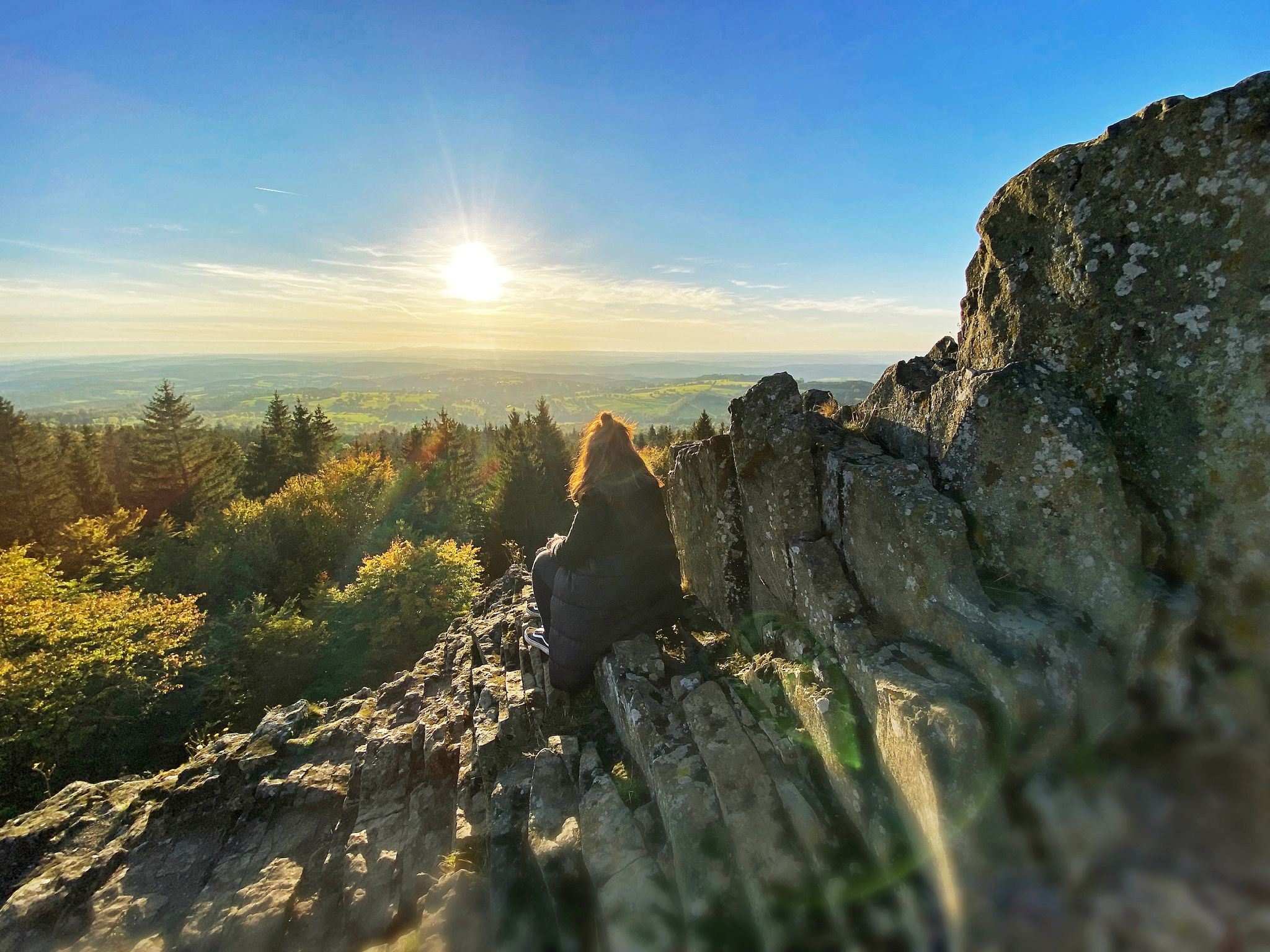
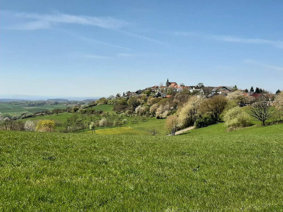
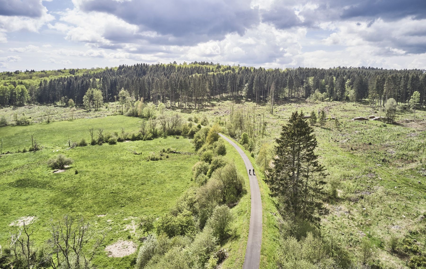
Bus station hiking trails around Grebenhain are situated within the Vogelsberg Mountains, an area characterized by its unique volcanic landscapes and extensive forests. The region features rolling hills, basalt formations, and idyllic rivers, with elevations often exceeding 500 meters. This terrain provides a diverse network of paths suitable for various hiking experiences.
Best bus station hiking trails around Grebenhain
- The most popular bus station hiking route is Uhuklippen Natural Monument – Schwarzbach Stream loop from Ilbeshausen-Hochwaldhausen, a 5.6 miles…
Last updated: May 15, 2026
4.6
(51)
157
hikers
Moderate hike. Good fitness required. Mostly accessible paths. Sure-footedness required.
4.6
(33)
100
hikers
12.1km
03:24
240m
240m
Moderate hike. Good fitness required. Mostly accessible paths. Sure-footedness required.

Sign up for free
4.7
(36)
110
hikers
Moderate hike. Good fitness required. Mostly accessible paths. Sure-footedness required.
5.0
(13)
62
hikers
9.27km
02:35
170m
170m
Moderate hike. Good fitness required. Easily-accessible paths. Suitable for all skill levels.
4.8
(13)
60
hikers
19.9km
05:39
410m
410m
Hard hike. Very good fitness required. Mostly accessible paths. Sure-footedness required.
Get access to more routes and recommendations from other explorers.
Sign up for free
Already have an account?
Our route recommendations are based on thousands of hikes, rides, and runs completed by other people on komoot.
Start today with a free account
Your next adventure awaits.
Login or Signup
Other adventures around Grebenhain


Tips from the Community

A tranquil, unspoiled valley surrounds the Schwarzbach stream, characterized by mossy banks, dense forest, and the constant sound of rushing water. Near Hochwaldhausen, the Schwarzbach reveals itself as particularly diverse – sometimes a small trickle, sometimes a powerful torrent.
6
0
A small, charming wooden bridge over the Schwarzbach stream – an idyllic spot in the valley. Perfect for a short break by the water, taking photos, or as a landmark on the path along the stream.
6
0
A simple, weatherproof hikers' hut in the Vogelsberg region – ideal for a short rest, a snack break, or shelter from rain and snow. Quietly situated in the forest and often nestled along popular hiking trails. The perfect stop to catch your breath and enjoy the tranquility of the woods.
5
0
A narrow stream that originates as a small trickle in the Vogelsberg hills and gradually grows larger along its course. The route often follows it for several kilometers – sometimes gently babbling, sometimes flowing more powerfully. A beautiful, natural companion through the forests around the Hoherodskopf.
6
0
From the Hoherodskopf summit, a sweeping view opens up across the Vogelsberg region – on a clear day, you can even see as far as the Taunus, Rhön, and Spessart mountains. It's the perfect spot for a short break, taking photos, and enjoying the open plateau. 🏔️🌄🌬️
7
0

Has something the tower, climbing park as well as a kiosk with a large beer garden is on site
6
0


Soul food and delicious things - a wonderful place
0
0
Frequently Asked Questions
How many bus station hiking trails are available around Grebenhain?
Grebenhain offers an extensive network of over 245 hiking trails accessible directly from bus stations. These routes cater to various fitness levels, with 97 easy, 136 moderate, and 12 difficult options.
What is the best time of year to hike from Grebenhain's bus stations?
The Vogelsberg region around Grebenhain is beautiful year-round. Spring and autumn offer vibrant colors and pleasant temperatures, ideal for exploring the forests and volcanic landscapes. Summer is perfect for enjoying the tranquil Upper Trout Pond (Upper Nidda Valley), while winter transforms the area into a snowy wonderland, with options for cross-country skiing and winter hiking, especially around the Herchenhainer heights.
What do other hikers say about the trails around Grebenhain?
The hiking trails around Grebenhain are highly rated by the komoot community, with an average score of 4.68 stars from over 1600 ratings. Hikers frequently praise the well-maintained paths, the diverse volcanic landscapes, and the peaceful atmosphere of the forests.
Are there easy hiking trails accessible from bus stations in Grebenhain?
Yes, Grebenhain offers 97 easy hiking trails that are perfect for beginners or those looking for a relaxed stroll. These routes typically feature gentle inclines and well-marked paths, making them enjoyable for all ages.
What kind of terrain can I expect on these bus-accessible hikes?
The terrain around Grebenhain is characterized by its volcanic origins. You can expect rolling hills, extensive forests, and distinctive basalt formations, particularly in the Oberwald. Trails often follow forest paths, open meadows, and sometimes lead through charming villages, offering a varied and scenic experience.
Are there any circular hiking routes starting from bus stations?
Many of the trails accessible from bus stations in Grebenhain are circular routes, allowing you to start and end your hike at the same point. For example, the moderate Uhuklippen Natural Monument – Schwarzbach Stream loop from Ilbeshausen-Hochwaldhausen offers a scenic round trip.
Can I bring my dog on these bus-accessible hiking trails?
Yes, the hiking trails around Grebenhain are generally dog-friendly. Your canine companion will enjoy the diverse landscapes, from open fields to shaded forest paths. Always remember to keep your dog on a leash where required and clean up after them to ensure a pleasant experience for everyone.
Are there family-friendly options for hiking from bus stations in Grebenhain?
Absolutely! Many of the easier and moderate trails are suitable for families. The region's picturesque forests and gentle paths provide a safe and engaging environment for children. Consider routes that pass by natural attractions like the Upper Trout Pond (Upper Nidda Valley) for added interest.
What natural landmarks or scenic viewpoints can I discover on these trails?
The trails offer numerous natural highlights. You can reach the Bilstein Summit for far-reaching views, or visit the tranquil Upper Trout Pond (Upper Nidda Valley). The View of the Frankfurt Skyline – Herchenhain Height loop from Herchenhain provides stunning panoramic vistas, even extending to Frankfurt on clear days.
Are there any historical or cultural points of interest along the bus station trails?
Yes, the region is rich in history. You might encounter the legendary Teufelsmühle (Devil's Mill) in Ilbeshausen-Hochwaldhausen, a beautifully preserved half-timbered house. The Bridge in the Forest near the Sehmenbach spring offers a mystical, historical spot. While currently under renovation, the Bismarck Tower Taufstein is another significant landmark in the wider area.
Are there any trails that offer unique geological features?
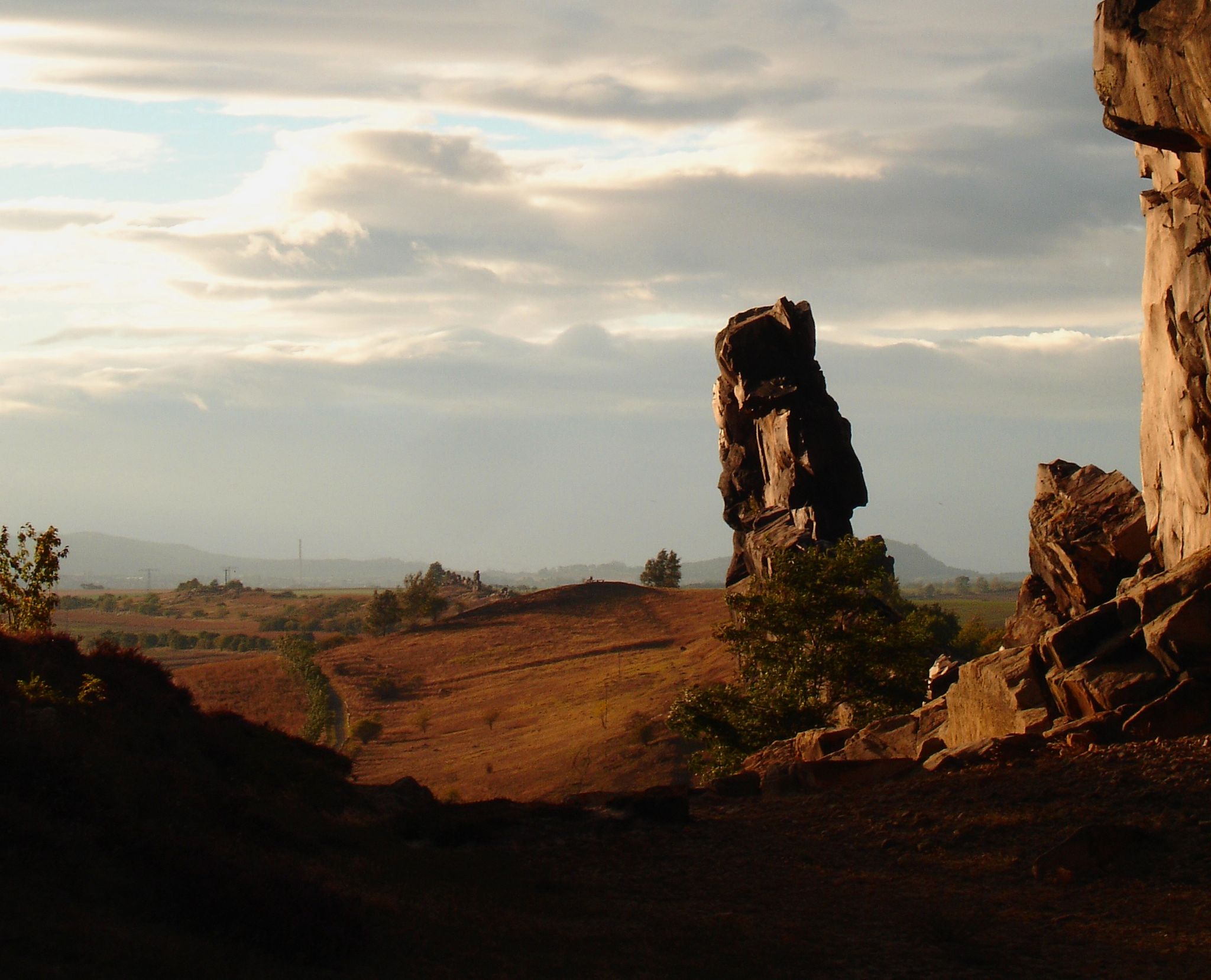
Grebenhain, being in the Vogelsberg volcanic region, is known for its unique geology. Many trails, such as the Spitzen-Stein rock formation – Devil's Pulpit loop from Bermuthshain, will lead you past impressive basalt formations, remnants of Europe's largest extinct volcano. Guided tours of the basalt formations in the Oberwald are also available.
Where can I find refreshments or places to eat near the bus-accessible trails?
Many of the villages around Grebenhain, such as Ilbeshausen-Hochwaldhausen, offer amenities like cafes and guesthouses where you can enjoy a meal or a refreshing drink after your hike. It's always a good idea to check local opening hours, especially in smaller communities.
Are there options for winter hiking from bus stations in Grebenhain?
Yes, Grebenhain is a popular destination for winter sports. The Herchenhainer heights offer opportunities for winter hiking, and the Oberwald forest features an extensive network of cross-country ski trails. Always check local conditions and trail accessibility before heading out in winter.
Most popular routes around Grebenhain
Most popular attractions around Grebenhain

Get inspired with the komoot mobile app


Explore more
Browse the best Hikes in other regions.
