The best walks and hikes around Grebenhain
4.7
(1702)
5,539
hikers
357
hikes
Hiking around Grebenhain offers access to the diverse landscapes of the Vogelsberg Mountains in Hesse, Germany. This region is characterized by its volcanic origin, featuring gentle hills, lush meadows, and dense forests. Hikers can explore a network of trails that traverse varied terrain, including volcanic features and scenic valleys. The area provides opportunities to experience both natural beauty and geological insights.
Best hiking trails around Grebenhain
- The most popular hiking route is Bergmähwiesenpfad (Mountain Meadow Trail), a 5.7 miles…
Last updated: June 27, 2026
4.8
(312)
885
hikers
9.15km
02:40
240m
240m
Moderate hike. Good fitness required. Mostly accessible paths. Sure-footedness required.
4.8
(58)
175
hikers
Moderate hike. Good fitness required. Easily-accessible paths. Suitable for all skill levels.

Sign up for free
4.6
(56)
162
hikers
Moderate hike. Good fitness required. Mostly accessible paths. Sure-footedness required.
4.6
(33)
100
hikers
12.1km
03:24
240m
240m
Moderate hike. Good fitness required. Mostly accessible paths. Sure-footedness required.
4.5
(34)
100
hikers
Moderate hike. Good fitness required. Mostly accessible paths. Sure-footedness required.
Get access to more routes and recommendations from other explorers.
Sign up for free
Already have an account?
Our route recommendations are based on thousands of hikes, rides, and runs completed by other people on komoot.
Start today with a free account
Your next adventure awaits.
Login or Signup
Popular around Grebenhain
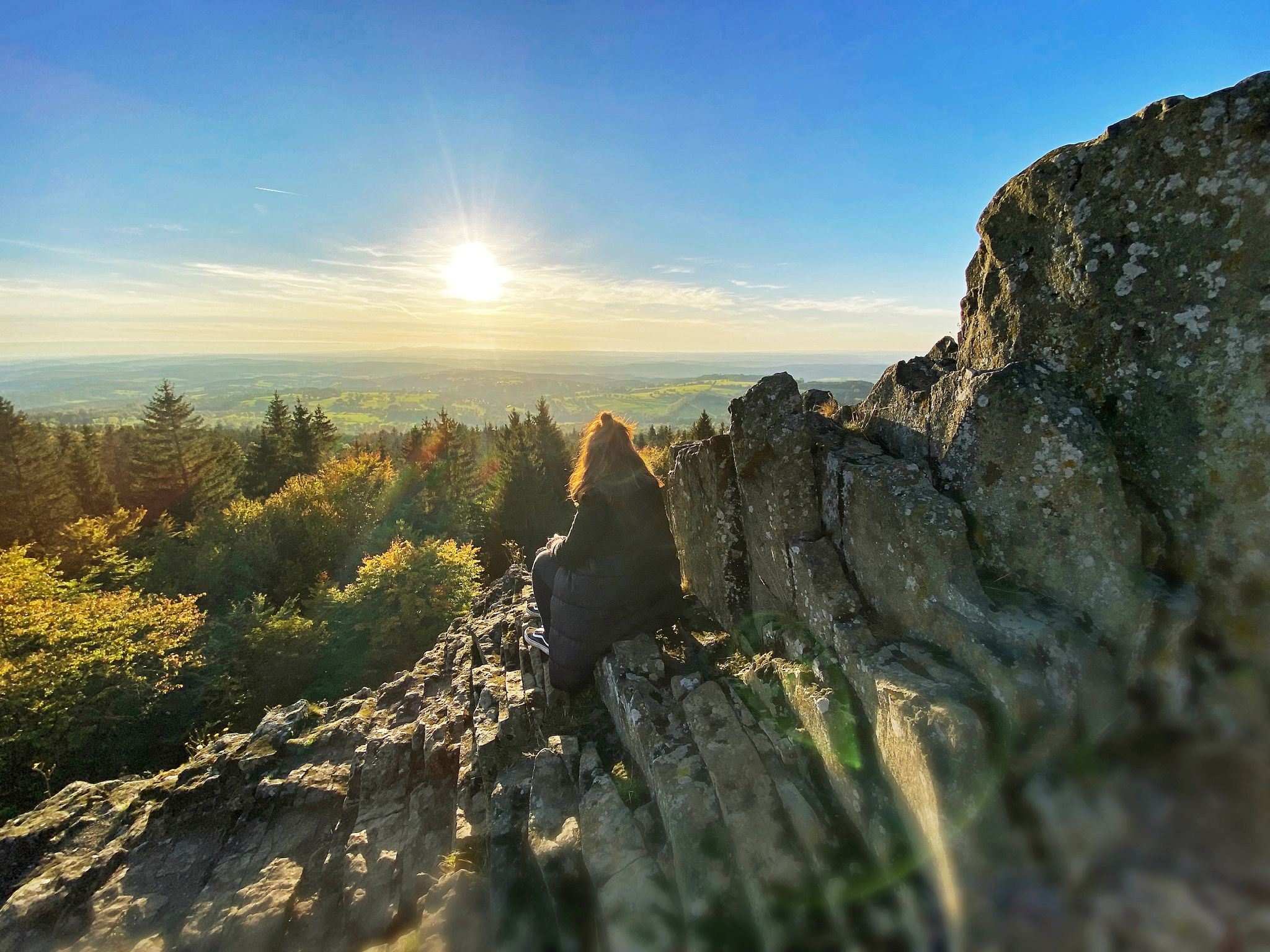
Where trails give you strength: Your hiking getaway in Vogelsberg
On the Bonifatius Route from Mainz to Fulda
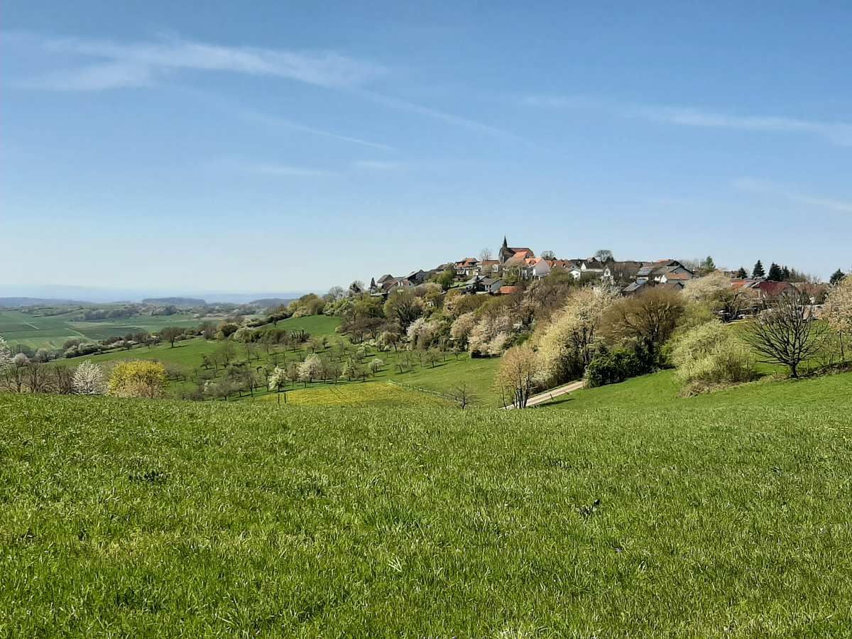
Circumnavigate volcanoes in six days – Vogelsberg Volcano Ring
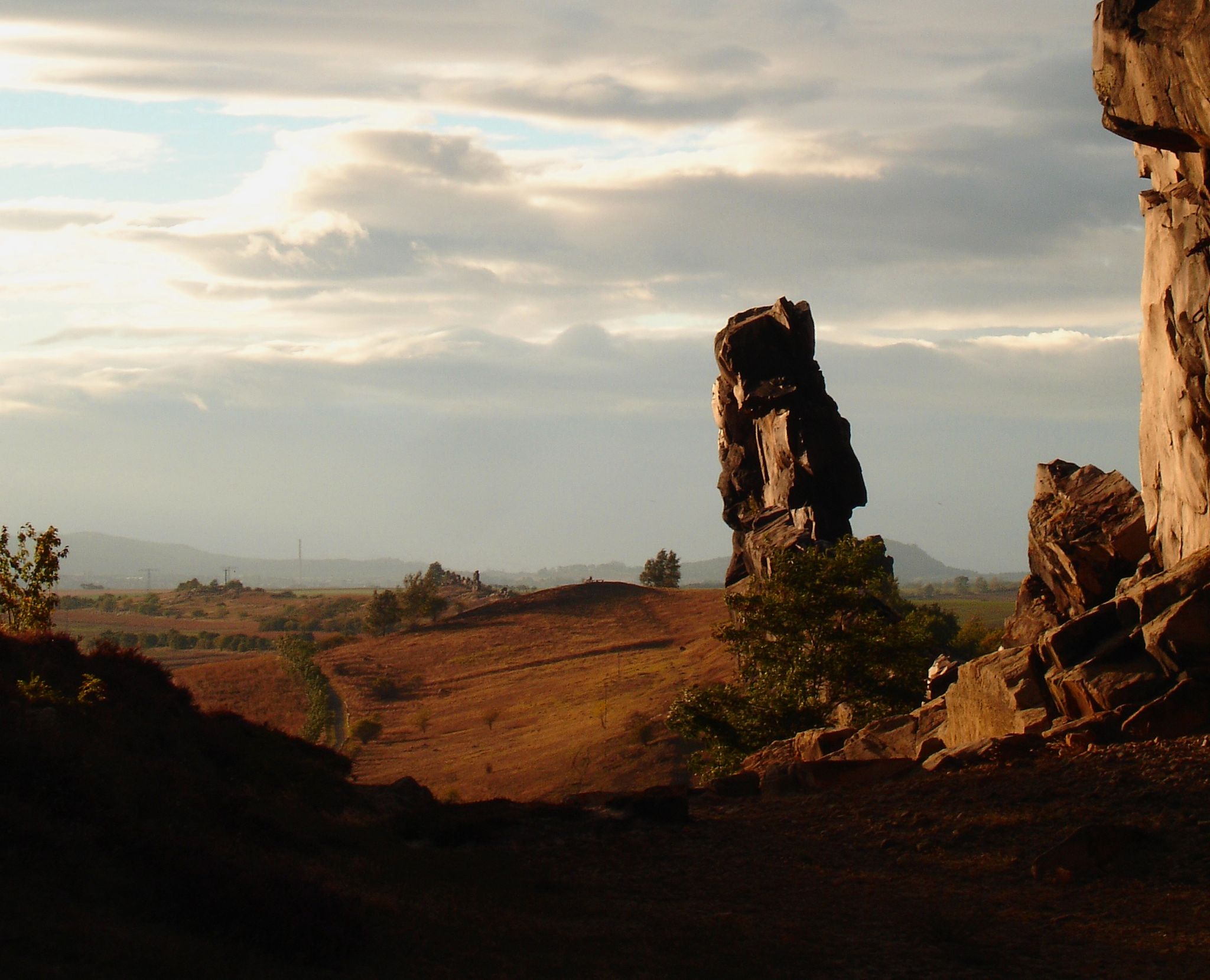
Devilish places
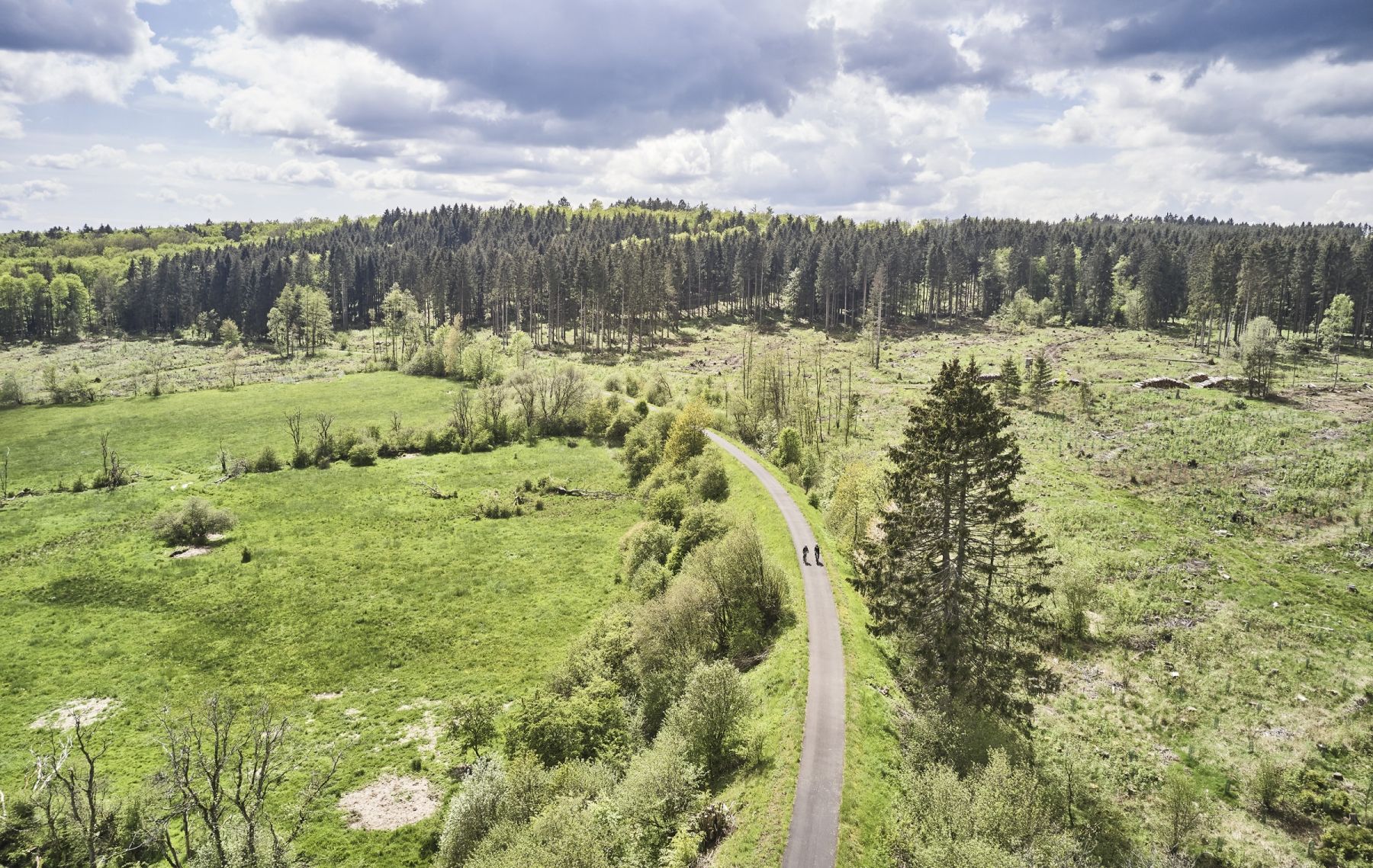
Feuer, Wasser und Weite – Die besten Radrouten im Vogelsberg
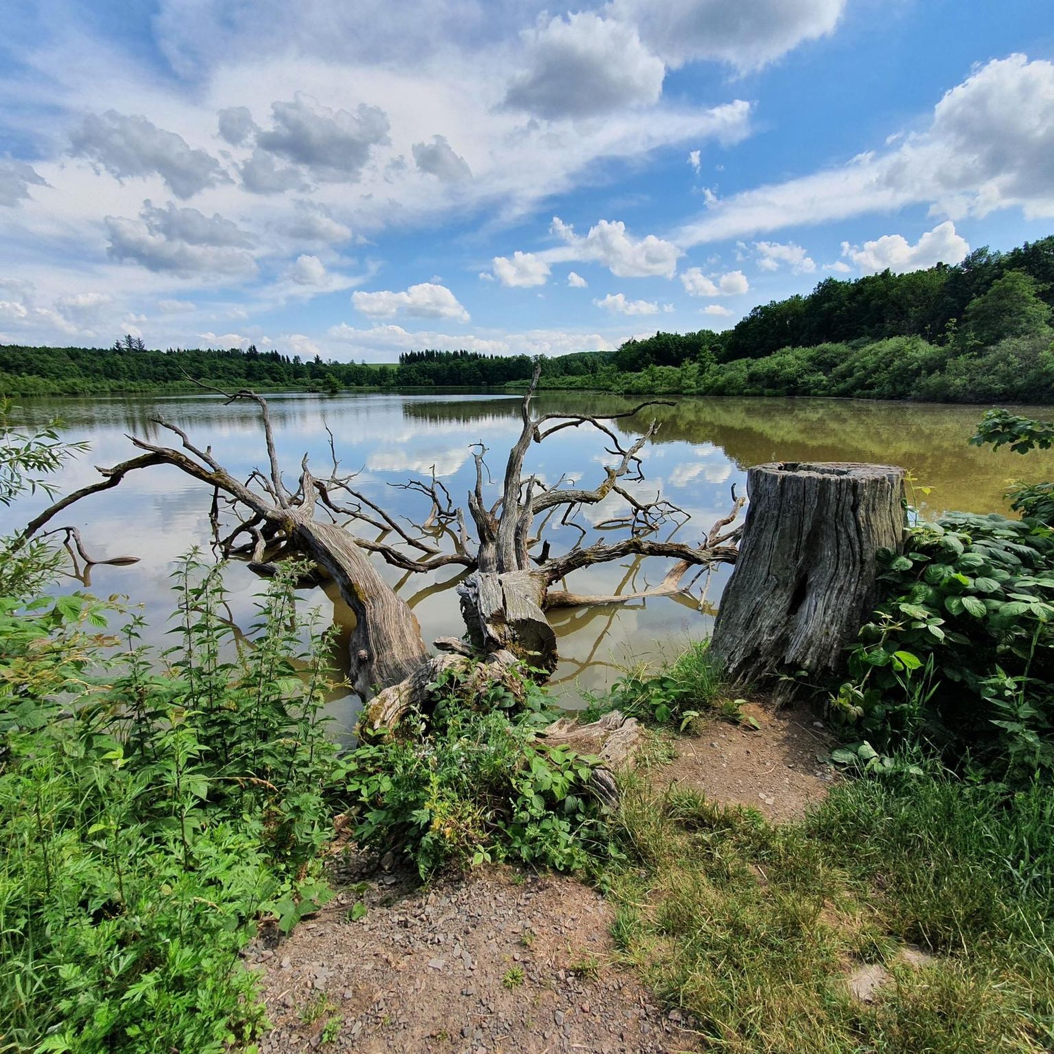
Cycling around Grebenhain
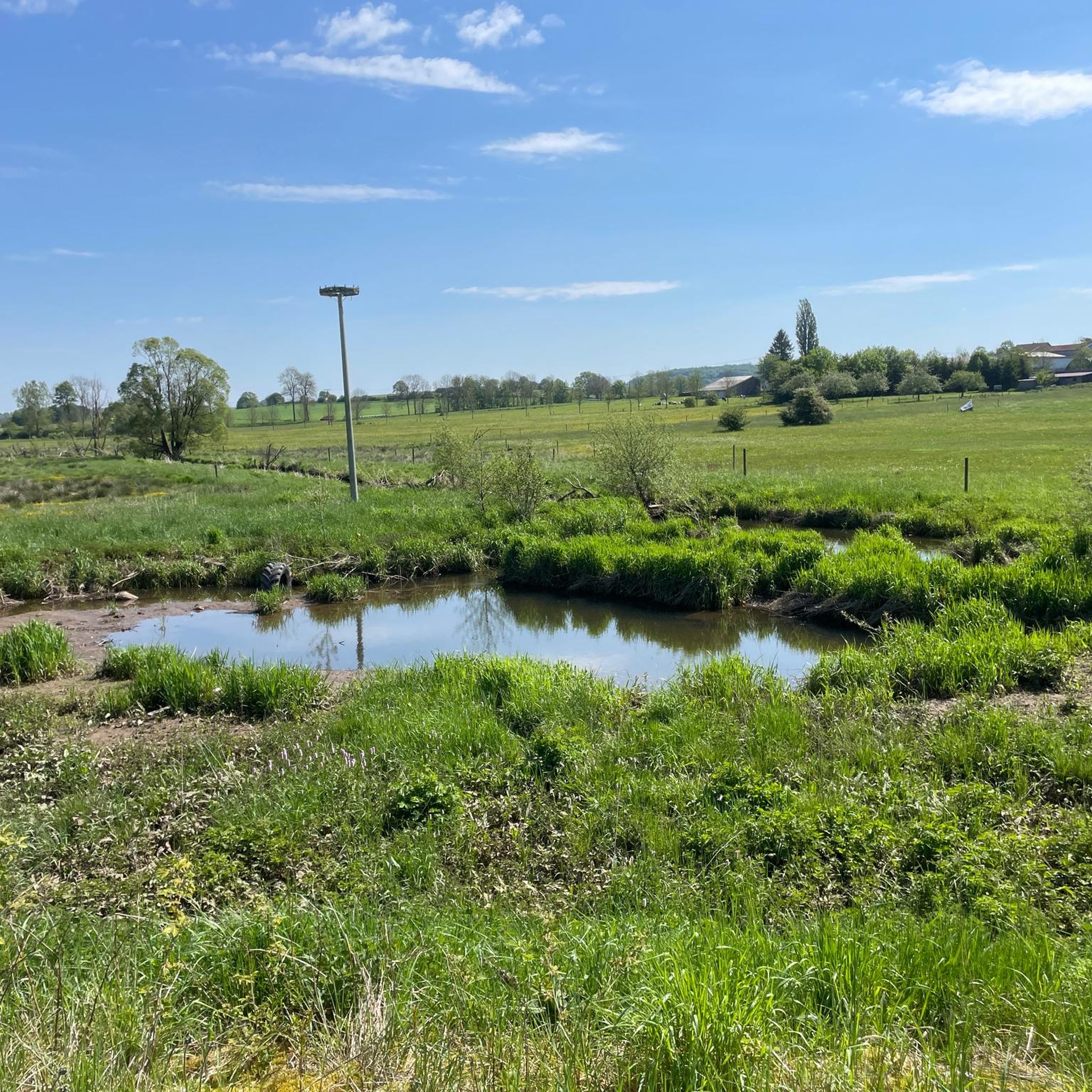
MTB Trails around Grebenhain
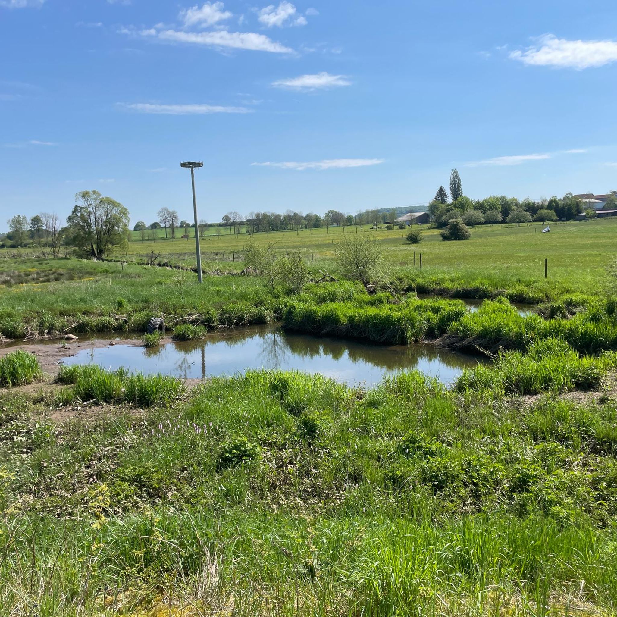
Road Cycling Routes around Grebenhain
Running Trails around Grebenhain
Gravel biking around Grebenhain
Other adventures around Grebenhain


Tips from the Community

It is also called the Bridge of Sighs
0
0
Especially the legend at the table is interesting.
0
0

A tranquil, unspoiled valley surrounds the Schwarzbach stream, characterized by mossy banks, dense forest, and the constant sound of rushing water. Near Hochwaldhausen, the Schwarzbach reveals itself as particularly diverse – sometimes a small trickle, sometimes a powerful torrent.
6
0
A small, charming wooden bridge over the Schwarzbach stream – an idyllic spot in the valley. Perfect for a short break by the water, taking photos, or as a landmark on the path along the stream.
6
0
A simple, weatherproof hikers' hut in the Vogelsberg region – ideal for a short rest, a snack break, or shelter from rain and snow. Quietly situated in the forest and often nestled along popular hiking trails. The perfect stop to catch your breath and enjoy the tranquility of the woods.
5
0
A narrow stream that originates as a small trickle in the Vogelsberg hills and gradually grows larger along its course. The route often follows it for several kilometers – sometimes gently babbling, sometimes flowing more powerfully. A beautiful, natural companion through the forests around the Hoherodskopf.
6
0
Historic raftsman's house on the Schwarzbach stream – a small, traditional wooden building that recalls the former rafting culture in the Vogelsberg region. Today, it's an idyllic spot by the water, perfect for a short break and a glimpse into the region's history.
6
0

Beautiful historic house with a great tree by the pond. A visit is definitely worth it.
1
0
Frequently Asked Questions
How many hiking trails are available in Grebenhain?
Grebenhain offers a wide variety of hiking experiences with over 360 routes. These range from easy strolls to more challenging treks, ensuring there's something for every fitness level. Specifically, you'll find around 168 easy routes, 178 moderate routes, and 14 more difficult trails.
What kind of terrain can I expect when hiking in Grebenhain?
The terrain in Grebenhain is largely shaped by its volcanic origin within the Vogelsberg Mountains. Hikers can expect a diverse landscape featuring gentle hills, lush green meadows, and dense forests. Trails often traverse varied topography, offering both natural beauty and geological insights into the region's past.
What are some notable natural features or viewpoints I can discover on the trails?
Grebenhain's trails lead to several impressive natural features and viewpoints. You can reach the Bilstein Summit for expansive views, or explore the volcanic landscapes along routes like the Geopfad Schwarzbachtal. The Hoherodskopf Summit is another significant attraction, offering spectacular views and an observation tower. You might also encounter idyllic spots like the Upper Trout Pond, perfect for a relaxing break.
Are there any family-friendly hiking options in Grebenhain?
Yes, Grebenhain offers many family-friendly hiking options. The region is known for its easy walks suitable for all ages. A great example is the Bergmähwiesenpfad (Mountain Meadow Trail), which provides a natural experience through beautiful mountain meadows and is generally considered moderate but manageable for families.
Can I bring my dog on the hiking trails in Grebenhain?
Most hiking trails in Grebenhain are dog-friendly, allowing you to enjoy the beautiful Vogelsberg landscape with your canine companion. However, it's always recommended to keep your dog on a leash, especially in nature reserves or near livestock, and to be mindful of local regulations.
What is the best time of year to go hiking in Grebenhain?
The best seasons for hiking in Grebenhain are spring and autumn. In spring, nature is in full bloom, offering vibrant colors and fresh air. Autumn transforms the landscape with stunning foliage, creating a picturesque setting for your hikes. Both seasons generally offer pleasant temperatures for outdoor activities.
Are there any circular hiking routes in Grebenhain?
Yes, many of the trails in Grebenhain are designed as circular routes, allowing you to start and end your hike at the same point without retracing your steps. An excellent example is the Ober-Mooser Pond – Rothenbach Pond loop from Bermuthshain, which offers tranquil pond scenery.
What do other hikers enjoy most about the trails in Grebenhain?
The hiking trails in Grebenhain are highly rated by the komoot community, with an average score of 4.7 stars from over 1500 reviews. Hikers often praise the diverse volcanic landscapes, the extensive network of well-marked paths, and the peaceful atmosphere of the dense forests and gentle hills. The scenic views and varied difficulty levels also contribute to its popularity.
Are there any historical landmarks or cultural sites along the hiking routes?
Beyond natural beauty, some trails in Grebenhain lead past historically significant sites. For instance, the region is part of the Bonifatius-Route, a historical pilgrimage path. You might also encounter cultural monuments or structures like the Teufelsmühle (Devil's Mill) in Ilbeshausen-Hochwaldhausen, adding a cultural dimension to your hike.
Where can I find places to rest or get refreshments during my hike?
Several routes in Grebenhain pass by huts and cabins where you can take a break or find refreshments. Notable spots include the Taufstein Hut, the Walter Kress Hut at Ober-Mooser Pond, and the Hoherodskopf-Klause mountain hut, especially around the popular Hoherodskopf area.
Are there any trails that offer insights into the region's geology?
Yes, the region's volcanic past is a prominent feature, and trails like the Geopfad Schwarzbachtal provide excellent insights into its geology. This trail, leading from Ilbeshausen-Hochwaldhausen towards Hoherodskopf, highlights the unique geological formations of the Vogelsberg Mountains.
What is the typical duration for a hike in Grebenhain?
Hike durations in Grebenhain vary widely depending on the route and your pace. For example, the Schwarzbach Stream – Raftsmen's House loop from Hochwaldhausen typically takes around 2 hours 35 minutes, while the Spitzen-Stein rock formation – Devil's Pulpit loop from Bermuthshain is a longer option, often completed in about 4 hours.
Most popular routes around Grebenhain
Most popular attractions around Grebenhain

Get inspired with the komoot mobile app


Explore more
Browse the best Hikes in other regions.
