The best road cycling routes around Lossatal
4.7
(36)
262
riders
37
rides
Road cycling routes around Lossatal traverse a landscape characterized by rolling hills and extensive forests, offering varied terrain for cyclists. The region features a network of paths that wind through verdant environments, with some routes providing views of the Mulde River. While the Collmberg stands at 312 meters, many road cycling paths navigate the lower elevations and gentle ascents of the area. This makes Lossatal suitable for road cyclists seeking both leisurely rides and moderately challenging routes.
Best road cycling…
Last updated: July 1, 2026
5.0
(6)
93
riders
57.2km
02:21
230m
230m
Moderate road ride. Good fitness required. Mostly well-paved surfaces and easy to ride.
5.0
(1)
8
riders
38.2km
01:30
140m
140m
Easy road ride. Great for any fitness level. Mostly well-paved surfaces and easy to ride.

Sign up for free
4.3
(3)
11
riders
Easy road ride. Great for any fitness level. Mostly well-paved surfaces and easy to ride.
5.0
(1)
9
riders
Easy road ride. Great for any fitness level. Mostly well-paved surfaces and easy to ride.
4.3
(3)
11
riders
22.2km
00:53
120m
120m
Easy road ride. Great for any fitness level. Mostly well-paved surfaces and easy to ride.
Get access to more routes and recommendations from other explorers.
Sign up for free
Already have an account?
Our route recommendations are based on thousands of hikes, rides, and runs completed by other people on komoot.
Start today with a free account
Your next adventure awaits.
Login or Signup
Popular around Lossatal
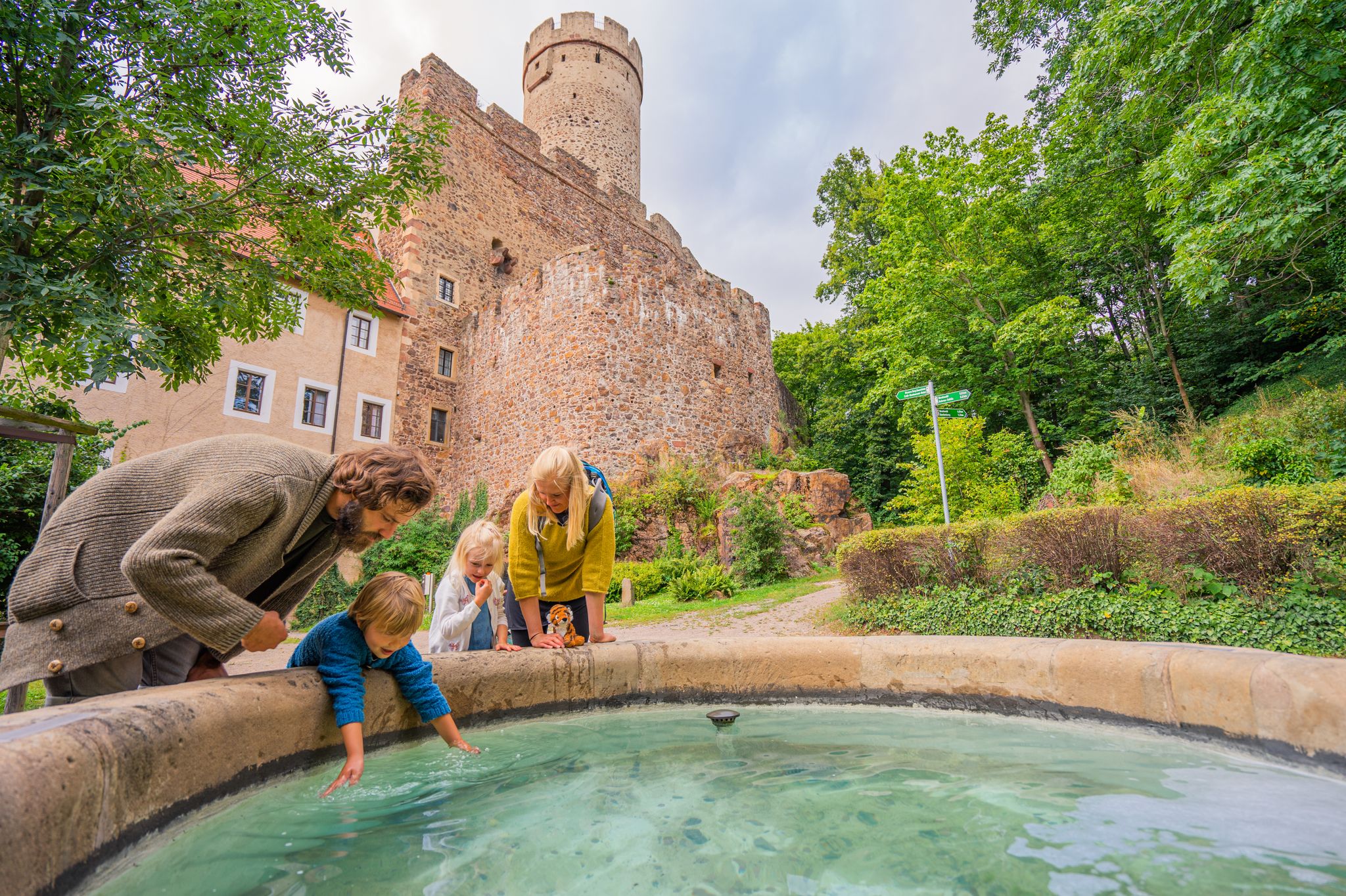
Time for little adventures – family hikes in the Leipzig region
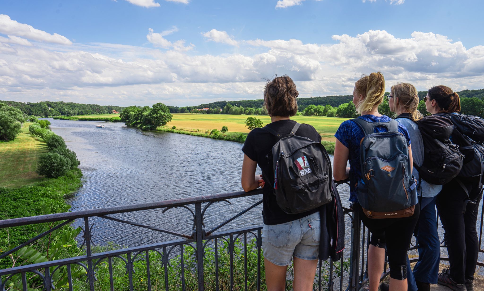
Hiking between big city and nature – urban escapism Leipzig
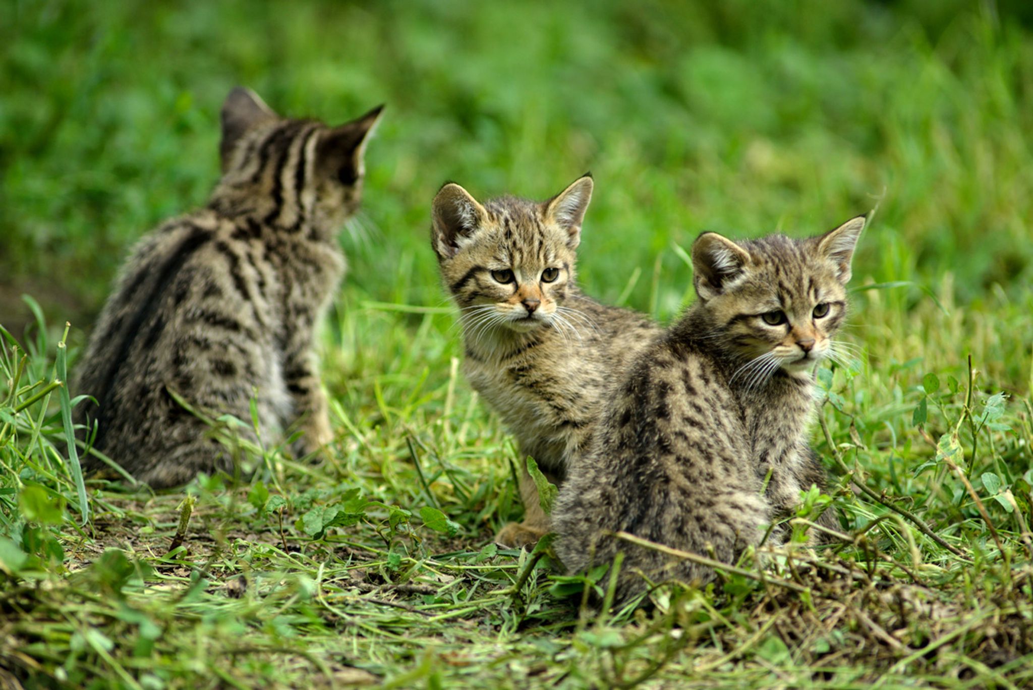
Hike with BUND on the trail of the European wildcat
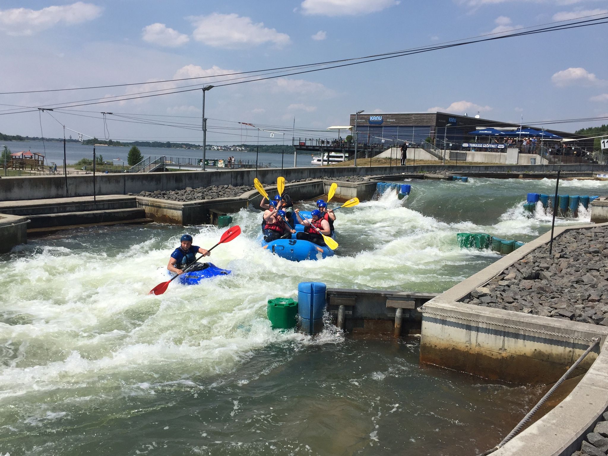
Rafting. Climbing. Hiking — awesome fun around Leipzig
Don't forget your crampons – a high-altitude hike around flat Leipzig
Hiking around Lossatal
Cycling around Lossatal
MTB Trails around Lossatal
Running Trails around Lossatal
Gravel biking around Lossatal
Other adventures around Lossatal


Tips from the Community

Good asphalt. Off the roads. Rides great!
0
0

A plastered quarry stone church, the core of which dates back to the 14th century. A tower top is above the choir. Inside, a 15th-century wall painting, and in the sacristy, a torso of a baptismal angel.
0
0

The climb isn't excessively steep, but it's a long one. But once you reach the top, there's a rapid descent that's quite a challenge.
0
0
A plastered hall church made of fieldstone and rubble stone, Romanesque in its core. A transverse rectangular west tower with an octagonal top, lantern, and spire. Inside, several late Gothic figures and a floating baptismal angel are featured.
0
0
A plastered hall church, with a late Romanesque core, built as a quarry stone structure. A recessed west tower with a staggered pyramid roof dates from 1732.
0
0
A hall church from the first half of the 13th century. A recessed choir. A ridge turret above the west gable with a pyramid roof dates from 1683.
0
0
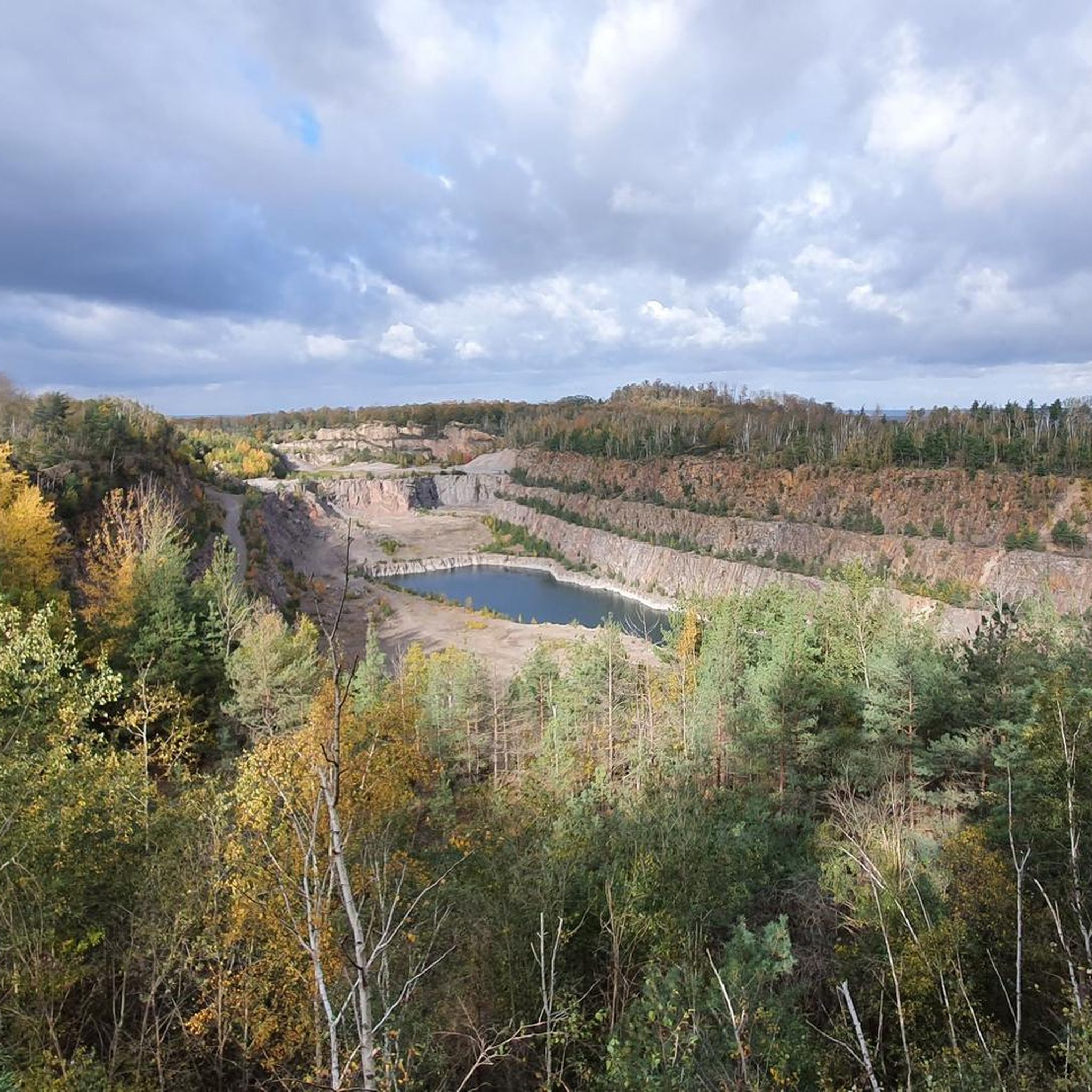
Röcknitz is best known for its quarry, where quartz porphyry is mined. The village playground is modeled after it.
0
0

Frequently Asked Questions
How many road cycling routes are available in Lossatal?
Lossatal offers nearly 40 road cycling routes, catering to various preferences. The majority, around 24, are classified as easy, while 15 are moderate, providing a good range for different skill levels.
What kind of terrain can I expect on road cycling routes in Lossatal?
The region is characterized by rolling hills and extensive forests, offering varied terrain. While the Collmberg reaches 312 meters, many road cycling paths navigate lower elevations and gentle ascents, providing a mix of leisurely rides and moderately challenging sections. You can expect picturesque scenery throughout your ride.
Are there any family-friendly road cycling routes in Lossatal?
Yes, Lossatal has a good selection of family-friendly routes, with 24 out of nearly 40 routes classified as easy. These routes typically feature gentler ascents and shorter distances, making them suitable for families. An example is the Ascent at Röcknitzer Berg – Hohburger Hills loop from Kleiner Berg Hohburg, which is an easy 21.8 km ride.
What are some notable landmarks or natural features I can see along the road cycling routes?
Lossatal's routes often pass by interesting natural and historical sites. You might encounter the 18-meter-high Albert Tower on the Collmberg, offering panoramic views. Other points of interest include various lakes like Schwarzer Bruch Quarry Lake or Carl Pond (Silver Lake), and the Wachtelberg Bismarck Tower. Some routes, like the Monument of the Encounter – Hartenfels Castle loop from Hohburg, explore historical landmarks.
Are there circular road cycling routes available in Lossatal?
Yes, many of Lossatal's road cycling routes are designed as loops, allowing you to start and end at the same point. For instance, the popular Eiscafé Zum Kleinen Pony – Through the Dahlener Heide loop from Frauwalde is a moderate 57.2 km circular trail.
What do other road cyclists enjoy most about cycling in Lossatal?
The road cycling routes in Lossatal are highly rated by the komoot community, with an average score of 4.9 stars from over 20 reviews. Cyclists often praise the varied terrain, the scenic views of rolling hills and forests, and the well-maintained network of paths that offer options for different ability levels.
Are there options for advanced road cyclists seeking more challenging rides?
While Lossatal is known for its easy to moderate routes, offering 15 moderate options, there are currently no routes classified as difficult. However, the rolling hills and longer moderate routes, such as the Monument of the Encounter – Hartenfels Castle loop from Hohburg (58.9 km with 235m elevation gain), can still provide a good workout for experienced riders.
Can I find cafes or pubs along the road cycling routes in Lossatal?
Lossatal is an idyllic village, and while specific cafes or pubs directly on every route are not detailed, the region is generally well-equipped for visitors. Many routes pass through or near villages where you can find local establishments to refresh and refuel. It's advisable to check local amenities for specific routes before you set off.
What is the best time of year for road cycling in Lossatal?
The region's picturesque landscapes with rolling hills and forests are enjoyable throughout the warmer months. Spring and autumn offer pleasant temperatures and beautiful scenery, while summer provides longer daylight hours. The varied topography makes it suitable for cycling across different seasons, avoiding extreme weather.
Are there any routes that offer views of the Mulde River?
Yes, some road cycling routes in Lossatal provide scenic views of the Mulde River. A popular choice is the View of the Mulde – Elephant Fountain, Kühren loop from Falkenhain, an easy 38.9 km trail that leads through scenic areas with river vistas.
Is there public transport access for cyclists in Lossatal?
Lossatal is located in the Leipzig district, and while specific details on public transport allowing bikes directly on all routes are not provided, regional buses and trains in Germany often have provisions for bicycle transport. It's recommended to check the local public transport provider's website for current regulations and schedules regarding bike carriage.
Most popular attractions around Lossatal

Get inspired with the komoot mobile app


Explore more
Browse the best Road cycling routes in other regions.
