The best hikes from bus stations around Niedernhall
4.6
(3528)
14,573
hikers
75
hikes
Bus station hiking trails around Niedernhall offer access to diverse landscapes within the Swabian-Franconian Forest Nature Park. The region is characterized by rolling hills, extensive forests, and the picturesque Kocher River Valley, often flanked by vineyards. Tributary valleys like the Kupfer and Zimmerbach rivers also contribute to varied hiking experiences, providing numerous viewpoints and natural features.
Best bus station hiking trails around Niedernhall
- The most popular bus station hiking route is Wine Hiking Trail Niedernhall, a 10.6 miles (17.0 km) moderate trail that takes about 4 hours 56 minutes to complete, winding through the region's vineyards and offering scenic views.
- Another top favourite among local hikers is Würzburg Gate – Forchtenberg Castle Ruins loop from Niedernhall, a difficult 11.9 miles (19.2 km) path. This route features varied terrain and includes historical landmarks such as the Forchtenberg Castle Ruins.
- Local hikers also love the View of Niedernhall – Lichteneck Castle Ruins loop from Niedernhall, a 7.4 miles (11.9 km) trail leading through forested areas and past historical ruins, often completed in about 3 hours 22 minutes.
- Hiking around Niedernhall is defined by river valleys, vineyard-covered slopes, and dense woodlands, offering a network of routes suitable for various ability levels.
- The routes in Niedernhall are highly rated by the komoot community with an average score of 4.6 stars from more than 3,300 reviews. More than 14,000 hikers have used komoot to explore Niedernhall's varied terrain.
Last updated: June 27, 2026
4.0
(13)
52
hikers
17.0km
04:56
450m
450m
Moderate hike. Good fitness required. Easily-accessible paths. Suitable for all skill levels.
4.6
(95)
286
hikers
18.6km
05:16
390m
390m
Hard hike. Very good fitness required. Easily-accessible paths. Suitable for all skill levels.

Sign up for free
4.9
(31)
115
hikers
23.8km
06:36
430m
430m
Hard hike. Very good fitness required. Easily-accessible paths. Suitable for all skill levels.
4.6
(7)
45
hikers
11.9km
03:21
250m
250m
Moderate hike. Good fitness required. Easily-accessible paths. Suitable for all skill levels.
3.0
(2)
24
hikers
Easy hike. Great for any fitness level. Easily-accessible paths. Suitable for all skill levels.
Get access to more routes and recommendations from other explorers.
Sign up for free
Already have an account?
Our route recommendations are based on thousands of hikes, rides, and runs completed by other people on komoot.
Start today with a free account
Your next adventure awaits.
Login or Signup
Popular around Niedernhall
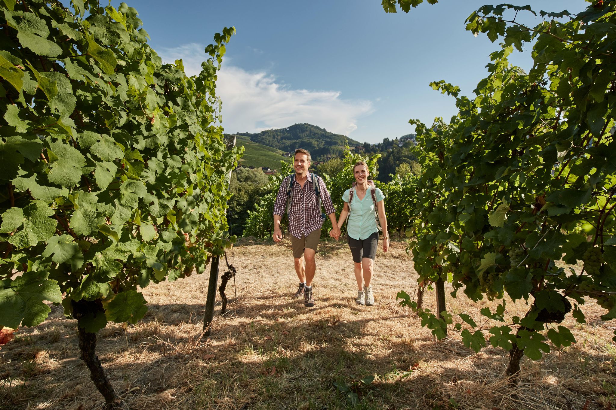
Foodie walks in southern Germany — hiking in Baden-Württemberg
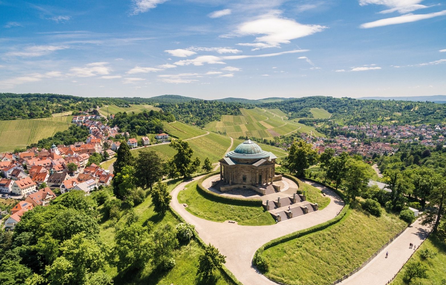
From grape to glass — 8 wine hikes in Württemberg
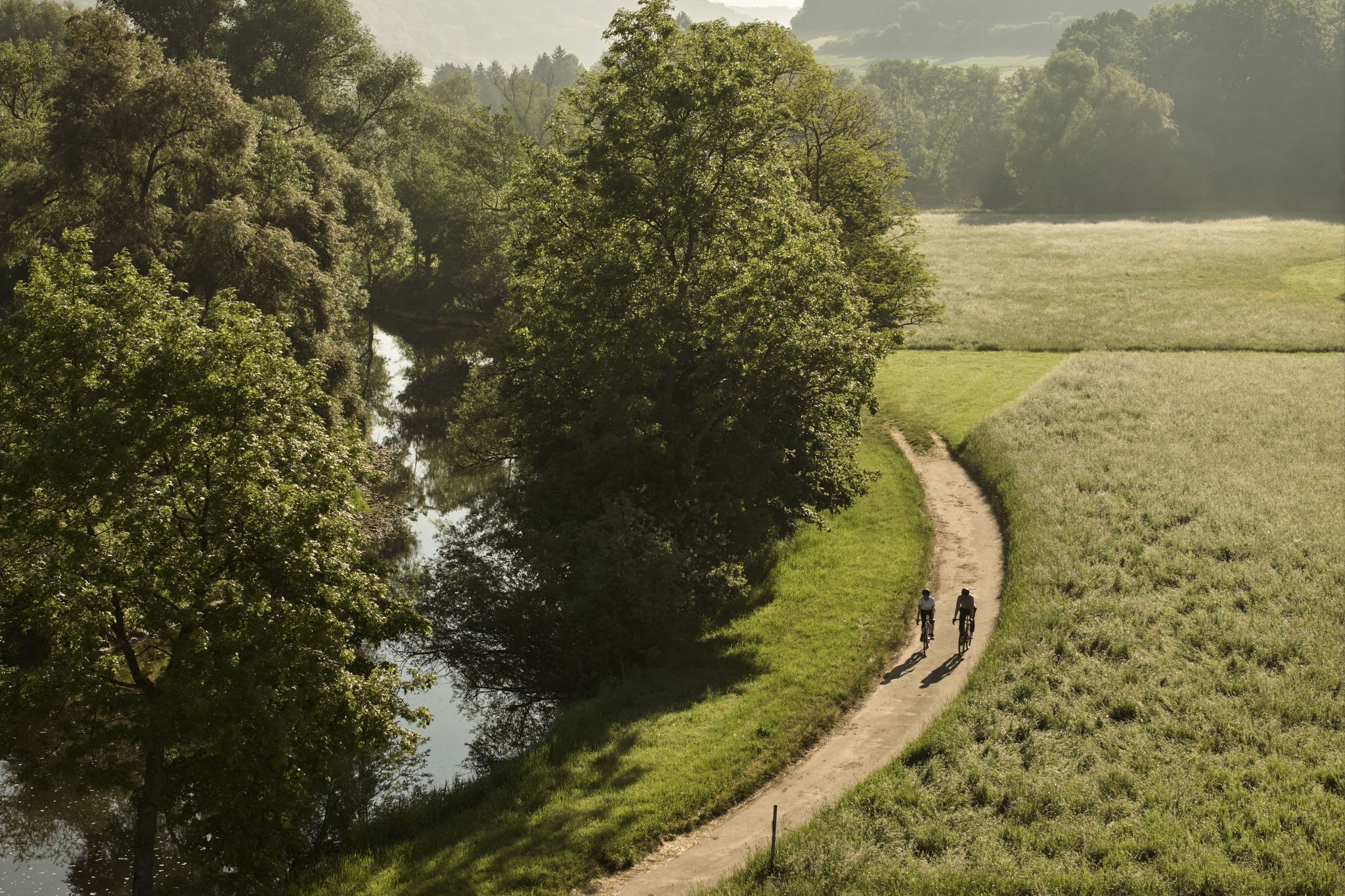
River delights & timber frames – riverside cycling in Süden ganz oben

Beautiful day Tours along the Tauber, Kocher, Jagst and Neckar rivers
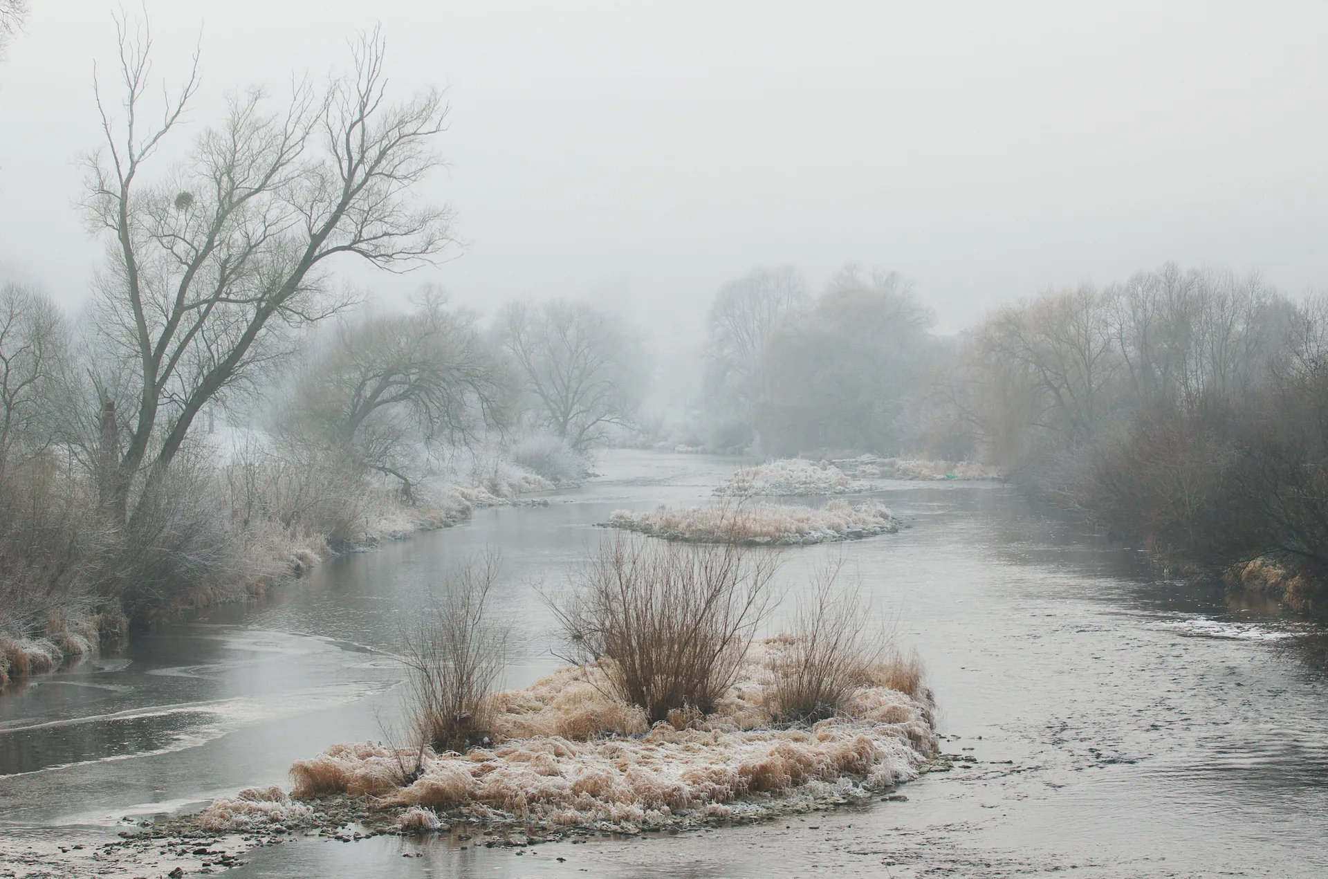
Achtsam durch den Winter – Stille erleben in Hohenlohe und Taubertal
Other adventures around Niedernhall


Tips from the Community

City wall and rampart in Hohenlohe
0
0

Nice place to stop and enjoy the view – a quiet, atmospheric stop between vineyard and landscape.
6
0
The Weinbaumuseum Ingelfinger Fass is a striking viewpoint and at the same time a small cultural highlight above Ingelfingen. The large, barrel-shaped building towers over the vineyards and offers a wide view into the Kochertal valley – a perfect place for a short break with a panorama.
4
0
A beautiful viewpoint above the Kocher valley, from which Niedernhall spreads out picturesquely below you. The roofs of the town, the surrounding vineyards, and the winding shape of the valley create a panorama that immediately catches the eye.
6
0

definitely worth a visit, the city gate is only a few meters off the bike path
0
0

Quite inconspicuous in the inner courtyard. You enter and think 'wow'.
1
0
From the viewpoint you can enjoy an impressive panoramic view over the Kocher Valley – with its picturesque river, half-timbered town and striking landscapes.
4
0
Frequently Asked Questions
How many bus-accessible hiking trails are there around Niedernhall?
There are over 70 hiking trails around Niedernhall that are easily accessible by bus, offering a wide range of experiences. These routes vary in difficulty, with 34 easy, 35 moderate, and 7 more challenging options to explore.
What kind of landscapes and terrain can I expect on bus-accessible hikes in Niedernhall?
Hiking around Niedernhall, you'll encounter diverse landscapes characteristic of the Swabian-Franconian Forest Nature Park. Expect picturesque rolling hills, expansive fields, and charming valleys. Many trails follow the idyllic Kocher River Valley, offering views of vineyards on sun-kissed steep slopes. You'll also find extensive forests, especially in the wooded valleys of the Kupfer and Zimmerbach rivers.
Are there any easy, family-friendly hikes accessible by bus in Niedernhall?
Yes, Niedernhall offers several family-friendly options. The region is known for trails like the 'WaldErlebnis' Nature Trail, which is educational and entertaining, guiding families through an idyllic forest to learn about local flora and fauna. For a shorter, easy hike, consider the Hermersberg Estate – Forsthaus Hermersberg loop from Niedernhall, which is just over 6 km long.
What are some popular circular hiking routes starting from a bus stop in Niedernhall?
Many routes in Niedernhall are circular, allowing you to start and end at the same bus stop. A popular choice is the Wine Hiking Trail Niedernhall, which highlights the region's viticulture and offers scenic views. Another option is the 'Through Kupfer- and Kocher valley' Trail, described as a varied and interesting circular route.
Are there any bus-accessible hikes that offer great viewpoints or historical landmarks?
Absolutely! The region is rich in both scenic viewpoints and historical sites. The Gäufer’s Vineyard Hut – Criesbach Saddle Viewpoint loop from Niedernhall is a challenging route that rewards you with expansive views. You can also explore the Lichteneck Castle Ruins, which can be part of a hike like the View of Niedernhall – Lichteneck Castle Ruins loop from Niedernhall. Additionally, the Kulturrundweg leads through Niedernhall's historic old town, passing sights like Niedernhall Castle and the town hall square.
What is the best time of year to go hiking from bus stations in Niedernhall?
The best seasons for hiking in Niedernhall are spring and autumn. During these times, the weather is mild, and nature displays vibrant colors – blooming flowers in spring and colorful leaves in autumn. The mild climate and mineral-rich shell limestone soils create ideal conditions for viticulture, making vineyard trails particularly beautiful during these seasons.
Can I bring my dog on these bus-accessible hiking trails?
Most hiking trails in the Niedernhall region are dog-friendly, allowing you to enjoy the natural beauty with your canine companion. However, it's always recommended to keep your dog on a leash, especially in nature reserves, near livestock, or in vineyard areas, and to be mindful of local regulations.
Are there any longer or more challenging bus-accessible hikes for experienced hikers?
Yes, for experienced hikers seeking a challenge, Niedernhall offers more demanding routes. The Würzburg Gate – Forchtenberg Castle Ruins loop from Niedernhall is a difficult, nearly 20 km route. The Hohenloher Höhenweg is another demanding option known for steep climbs and expansive views. The Georg-Fahrbach Trail, a long-distance path, also has stages in the area offering a more challenging experience through the Swabian-Franconian Forest.
What do other hikers enjoy most about hiking in Niedernhall?
The area is highly rated by the komoot community, with an average score of 4.6 stars from over 3,300 ratings. Reviewers often praise the diverse landscapes, the scenic views of the Kocher River Valley and vineyards, and the well-maintained network of trails that cater to various fitness levels. The accessibility by public transport is also a frequently highlighted positive aspect.
Are there opportunities for refreshments or food stops along bus-accessible routes?
Yes, many routes in the Niedernhall area offer opportunities for refreshments. Given the region's viticulture, you might find stops at local wineries or vineyard huts. The Beer Garden at Kocher Outdoor Pool is a highlight that could be incorporated into a hike. Additionally, the Kulturrundweg through Niedernhall's historic old town provides access to local eateries and cafes.
Most popular routes around Niedernhall
Most popular attractions around Niedernhall

Get inspired with the komoot mobile app


Explore more
Browse the best Hikes in other regions.
