The best hikes from bus stations around Mulfingen
4.7
(382)
1,445
hikers
109
hikes
Bus station hiking trails around Mulfingen navigate a landscape defined by the meandering Jagst River, rolling hills, and extensive forests. The region, part of Hohenlohe, features diverse terrain including scenic valleys and remnants of former vineyards. This natural setting provides varied experiences for hikers, with paths often following the river or ascending through woodlands.
Best bus station hiking trails around Mulfingen
- The most popular bus station hiking route is Buchenbach Castle – Heimhausen Village loop from Burg Buchenbach, a…
Last updated: June 27, 2026
4.8
(18)
60
hikers
Moderate hike. Good fitness required. Easily-accessible paths. Suitable for all skill levels.
4.7
(11)
47
hikers
Easy hike. Great for any fitness level. Easily-accessible paths. Suitable for all skill levels.

Sign up for free
4.6
(11)
62
hikers
Moderate hike. Good fitness required. Easily-accessible paths. Suitable for all skill levels.
5.0
(7)
36
hikers
Moderate hike. Good fitness required. Easily-accessible paths. Suitable for all skill levels.
4.2
(30)
88
hikers
10.0km
02:45
160m
160m
Moderate hike. Good fitness required. Easily-accessible paths. Suitable for all skill levels.
Get access to more routes and recommendations from other explorers.
Sign up for free
Already have an account?
Our route recommendations are based on thousands of hikes, rides, and runs completed by other people on komoot.
Start today with a free account
Your next adventure awaits.
Login or Signup
Other adventures around Mulfingen


Tips from the Community

Exceptionally beautiful place right on/above the Jagst canal. Good restaurant. Very courteous service.
1
0

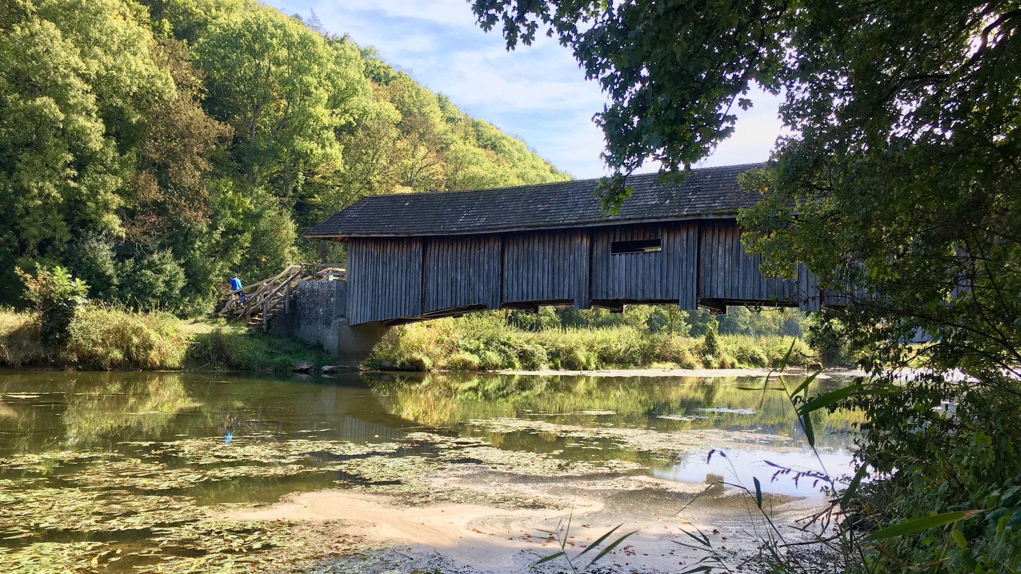
Beautiful bridge with great Rastplast!
1
0

Long trousers and sturdy shoes are recommended as the hiking trail is overgrown with stinging nettles in places and leads through narrow, overgrown paths.
0
0

A little tip for hiking groups visiting the grotto: The path in front of the grotto is designed with a kind of staircase. It's a great spot for a group photo. The background is incredibly beautiful.
0
0
Very nice spot under the willow arch with a view of Zaisenhausen
0
0
A very nice resting place. Here, under a willow arch, you can enjoy a view of the valley towards Zaisenhausen. If you're planning a break, this is the place to be :)
0
0

Yes it is idyllic
0
2
Beautiful courtyards and especially the grotto are worth a visit.
0
0
Frequently Asked Questions
How many bus station hiking trails are available in Mulfingen?
There are over 100 hiking trails accessible directly from bus stations around Mulfingen. This extensive network offers a wide variety of routes for all skill levels.
What is the best time of year to hike near Mulfingen bus stations?
Mulfingen offers beautiful hiking experiences throughout the year. Spring and autumn are particularly pleasant for their mild temperatures and vibrant scenery, with spring bringing blooming orchards and autumn showcasing colorful forests. Summer is ideal for waterside walks along the Jagst River, while winter can offer tranquil, snow-dusted landscapes, though some paths might be less accessible.
Are there easy hiking trails accessible from Mulfingen bus stations?
Yes, Mulfingen offers nearly 50 easy hiking routes that are perfect for a relaxed outing. A great option is the Buchenbach Castle – Heimhausen Village loop from Burg Buchenbach, which is just under 4 km long and features gentle elevation changes. Another easy choice is the Heimhausen Village – Bench with a view of the valley loop from Heimhausen.
Are there challenging hikes from Mulfingen bus stations?
While most routes are easy to moderate, there are a few more challenging options for experienced hikers. These routes often feature greater distances and more significant elevation changes, traversing the region's rolling hills and extensive forests. You can find a few difficult routes among the available trails.
What do other hikers enjoy most about hiking from Mulfingen bus stations?
The hiking trails around Mulfingen are highly rated by the komoot community, with an average score of 4.7 out of 5 stars from over 360 reviews. Hikers frequently praise the diverse terrain, including the serene Jagst Valley, tranquil forests, and picturesque rolling hills. The well-maintained paths and the blend of natural beauty with cultural landmarks are also often highlighted.
Are there circular walks available from Mulfingen bus stations?
Yes, many of the routes accessible from Mulfingen bus stations are circular, allowing you to start and end your hike at the same point. For example, the moderate Willow Arch at the Rest Area – View of Zaisenhausen loop from Mulfingen is a 12.6 km circular route offering scenic views.
What kind of natural landscapes can I expect to see on these trails?
Mulfingen's landscape is incredibly diverse. You'll encounter the meandering Jagst River carving out picturesque valleys, extensive forests, and rolling hills. Some trails also lead through former vineyards, offering unique cultural insights, and you might even discover juniper heathland with beautiful views over the Jagst valley.
Are there any interesting landmarks or attractions along the bus station hiking trails?
Absolutely! The trails often pass by significant natural and cultural landmarks. You might encounter the Lourdes Grotto, Zaisenhausen, which is the largest grotto complex in southern Germany. Other highlights include the Langenburg Castle Gardens, or the Hollow Oak Shrine. The region is also known for its 'Paths of Silence' (Pfade der Stille) which lead to meditative spots.
Can I find trails that follow the Jagst River?
Yes, the Jagst River is central to Mulfingen's natural beauty, and many paths follow its course. These trails offer serene waterside views and a chance to experience the diverse flora and fauna supported by the river's high water quality. The Parsonage in Unterregenbach – Unterregenbach Covered Bridge loop from Burg Buchenbach is a moderate option that includes sections along the river.
Are there any trails that offer views of historical sites or castles?
Yes, the region is rich in history. Many trails offer glimpses of historical sites or lead directly to them. For instance, the Unterregenbach Covered Bridge – Parsonage in Unterregenbach loop from Burg Buchenbach passes through areas with historical significance. You can also find highlights like AFD Treff (a castle) or the Bad Mergentheim Market Square nearby.
Most popular routes around Mulfingen
Most popular attractions around Mulfingen

Get inspired with the komoot mobile app


Explore more
Browse the best Hikes in other regions.
