The best hikes from bus stations around Ötisheim
4.5
(8695)
35,193
hikers
30
hikes
Hiking around Ötisheim offers diverse landscapes characterized by rolling hills, lush meadows, and dense forests, situated between the Black Forest and the Swabian Alb. The region features picturesque views of vineyards along the Enz River and is part of the "Land der 1000 Hügel." Hikers can explore the Stromberg-Heuchelberg Nature Park, which provides varied terrain for outdoor activities. The Enz River is a significant natural element, offering scenic views and contributing to the area's appeal for bus station hiking trails.
…Last updated: May 15, 2026
4.7
(23)
90
hikers
Moderate hike. Good fitness required. Easily-accessible paths. Suitable for all skill levels.
5.0
(8)
25
hikers
Easy hike. Great for any fitness level. Easily-accessible paths. Suitable for all skill levels.

Sign up for free
5.0
(1)
13
hikers
5.68km
01:29
40m
40m
Easy hike. Great for any fitness level. Easily-accessible paths. Suitable for all skill levels.
4.5
(4)
10
hikers
Moderate hike. Good fitness required. Easily-accessible paths. Suitable for all skill levels.
12
hikers
Easy hike. Great for any fitness level. Easily-accessible paths. Suitable for all skill levels.
Get access to more routes and recommendations from other explorers.
Sign up for free
Already have an account?
Our route recommendations are based on thousands of hikes, rides, and runs completed by other people on komoot.
Start today with a free account
Your next adventure awaits.
Login or Signup




Other adventures around Ötisheim

Tips from the Community

Listed well house dating from 1822
1
0

The Ötisheim Central Water Supply dates back to 1923. Today, the Ötisheim municipal utilities supply over 4,900 people with the highest quality drinking water.
2
0

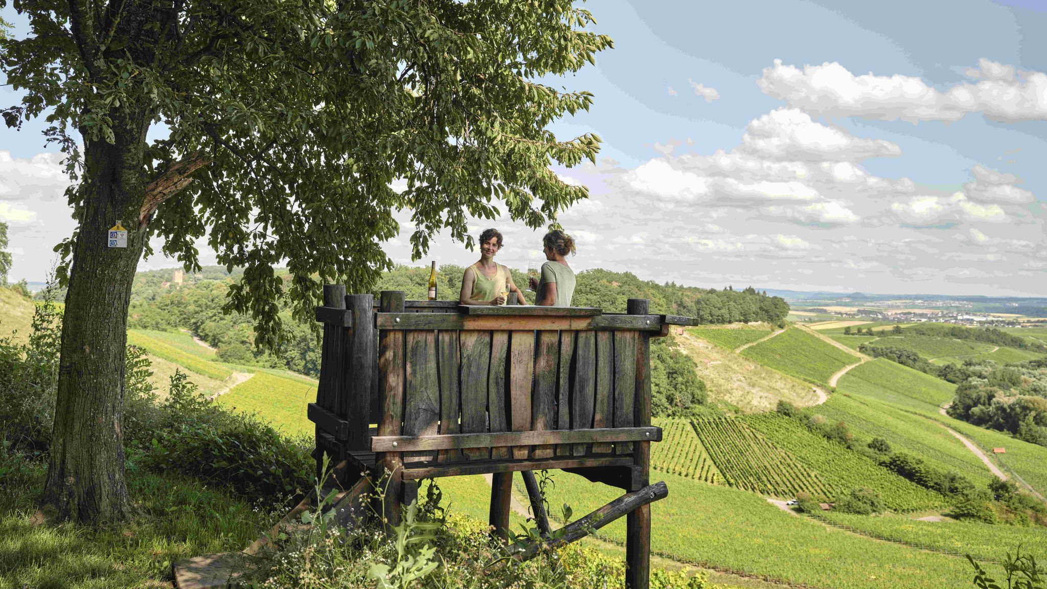
Viewpoint at the edge of the forest above the vineyards with a wide view towards Mühlacker and the Enz Valley in one direction and Ötisheim and the Northern Black Forest in the other.
7
0
A trench, still clearly visible as part of the Epping Line, runs across the forest. Since the trench was filled in at this point to make way for a forest path, one also has a good view of the cross-section of the defensive system.
6
0

On the main street in Ötisheim with the inscription 1756
2
0

Very nice section along the Eppinger Line.
0
0

www.waldenser.de Open every Sunday afternoon from 2:00 PM to 5:00 PM (except between December 15 and January 15). Admission is free for individuals. To help with the museum's upkeep and running costs, donations are requested at the entrance.
0
0
Schönenberg owes its origins to the Waldensians. Their leader Henri Arnaud settled in Schönenberg with a group in 1699 and built a small wooden church. He died in 1721, highly respected. In 1882 they were given permission to build a new church. The foundation stone was laid on May 31, 1883, and the inauguration took place on December 9 of the same year. The church was given the name: Henri Arnaud Church.
3
0
Frequently Asked Questions
How many bus station hiking trails are available in Ötisheim?
There are over 30 hiking routes in Ötisheim that are easily accessible from bus stations. These trails offer a variety of experiences, from leisurely strolls to more challenging excursions through the region's diverse landscapes.
What is the best time of year to hike from bus stations in Ötisheim?
The best times to visit Ötisheim for outdoor activities are spring and autumn. In spring, the fruit trees are in full bloom, offering beautiful scenery. Autumn provides a spectacular display of colors from the vineyards along the Enz River, making it an ideal season for hiking.
Are there easy hiking trails accessible by bus in Ötisheim?
Yes, Ötisheim offers many easy hiking trails accessible by bus. Out of the 30 available routes, 25 are classified as easy, making them suitable for beginners or those looking for a relaxed walk. An example is the Sauberg Chartaque Watchtower – Eppinger Line Trench loop from Mühlacker, which is an easy 5 km route.
Are there any circular walks starting from bus stations in Ötisheim?
Many of the bus-accessible hiking trails in Ötisheim are circular, allowing you to start and end your journey at the same point, often conveniently near a bus stop. For instance, the Sauberg Chartaque Watchtower – Eppinger Lines Forest Trail loop from Ötisheim is a moderate circular route offering varied scenery.
What kind of landscapes can I expect on bus-accessible hikes around Ötisheim?
Hikes around Ötisheim, accessible by bus, traverse a rich tapestry of landscapes. You'll encounter rolling hills, lush meadows, dense forests, and picturesque vineyards stretching along the Enz River. The area is part of the "Land der 1000 Hügel" (Land of 1000 Hills) and is near the Stromberg-Heuchelberg Nature Park, ensuring diverse natural beauty.
Are there family-friendly bus station hikes in Ötisheim?
Absolutely. Many easy routes are suitable for families. The View of Sauberg and the watchtower – Hill Sofa Ötisheim loop from Ötisheim is an easy 4.4 km option. Additionally, the region features the Barefoot Park Ötisheim, a 1.4 km circular route with over 20 experience stations through a deciduous forest, perfect for a family outing (open May to October).
Can I bring my dog on bus-accessible hiking trails in Ötisheim?
Most hiking trails in Ötisheim are dog-friendly, provided your dog is kept on a leash, especially in nature reserves or near livestock. It's always a good idea to carry water for your pet and check local signage for any specific restrictions.
What interesting landmarks or attractions can I see along bus station hiking trails?
Several bus-accessible trails lead past notable attractions. You can explore the unique Rock Gardens Mühlhausen, a nature reserve on the Enzschleife, or admire the charming Covered wooden bridge over the Enz. The historic Maulbronn Monastery, a UNESCO World Heritage Site, is also nearby and can be reached via short hikes or cycling tours.
Are there any viewpoints on bus station hikes in Ötisheim?
Yes, the region offers several scenic viewpoints. The "Dürrer Eichelberg Viewpoint" and the "Sauberg Chartaque Watchtower" are known for their panoramic vistas over the surrounding landscapes, including the vineyards and rolling hills. The Eppinger Lines Forest Trail – Sauberg Chartaque Watchtower loop from Ötisheim is a moderate route that includes the watchtower.
What do other hikers enjoy most about bus station trails in Ötisheim?
The bus-accessible trails in Ötisheim are highly rated by the komoot community, with an average score of 4.5 stars from over 8,400 ratings. Hikers often praise the diverse and picturesque landscapes, the well-maintained paths, and the convenience of public transport access, making it easy to explore the region's natural beauty.
Are there any trails that follow the Enz River?
Yes, the Enz River is a significant natural feature in the region, and several trails offer scenic views along its banks. You can enjoy picturesque views of vineyards stretching along the river, and some routes, like the Aize Outdoor Pool – Erlenbach Floodplain loop from Ötisheim, bring you close to the river and its floodplains.
Most popular routes around Ötisheim
Most popular attractions around Ötisheim

Get inspired with the komoot mobile app


Explore more
Browse the best Hikes in other regions.
