The best traffic-free bike rides around Feucht
4.5
(1631)
21,015
riders
99
rides
No traffic road cycling routes around Feucht are characterized by their proximity to the expansive Lorenzer Reichswald, a protected forest area offering diverse landscapes. The region features mostly well-paved cycle paths, suitable for road bikes, with a mix of rolling hills and relatively flat sections. Cyclists can expect moderate elevation changes, providing varied terrain for different fitness levels. The area integrates natural elements like the Gauchsbach stream and the historic Ludwig Canal into its scenic routes.
Best no traffic road…
Last updated: July 10, 2026
5.0
(1)
13
riders
Easy road ride. Great for any fitness level. Mostly well-paved surfaces and easy to ride.
8
riders
94.9km
04:07
580m
580m
Moderate road ride. Good fitness required. Some segments of this route may be unpaved and difficult to ride.

Sign up for free
4
riders
100km
04:21
740m
740m
Moderate road ride. Good fitness required. Some segments of this route may be unpaved and difficult to ride.
3
riders
Hard road ride. Very good fitness required. Some segments of this route may be unpaved and difficult to ride.
2
riders
Moderate road ride. Good fitness required. Mostly well-paved surfaces and easy to ride.
Get access to more routes and recommendations from other explorers.
Sign up for free
Already have an account?
Our route recommendations are based on thousands of hikes, rides, and runs completed by other people on komoot.
Start today with a free account
Your next adventure awaits.
Login or Signup
Popular around Feucht
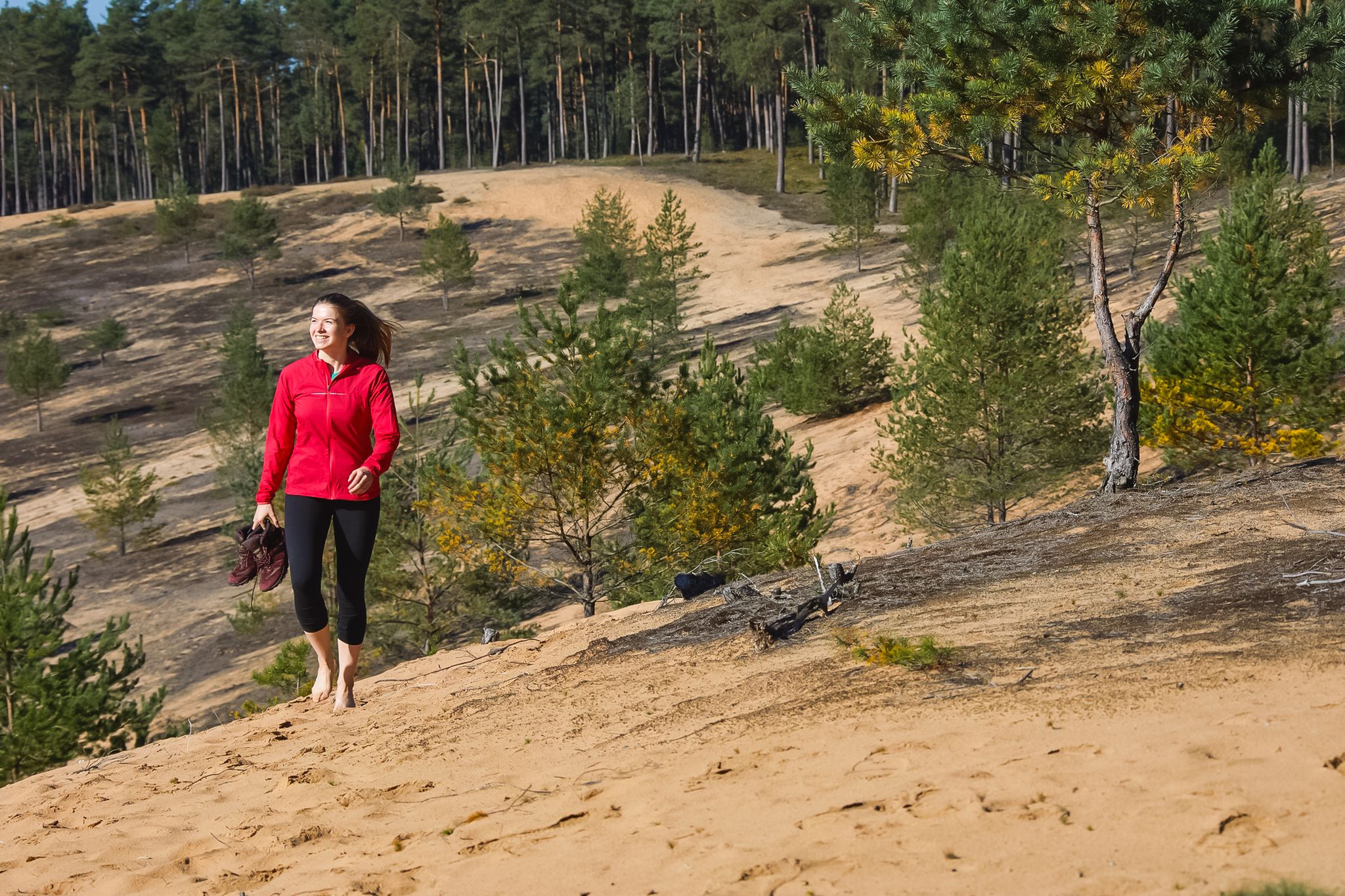
Hike the Dune Path in Central Germany – From sand dunes to forests
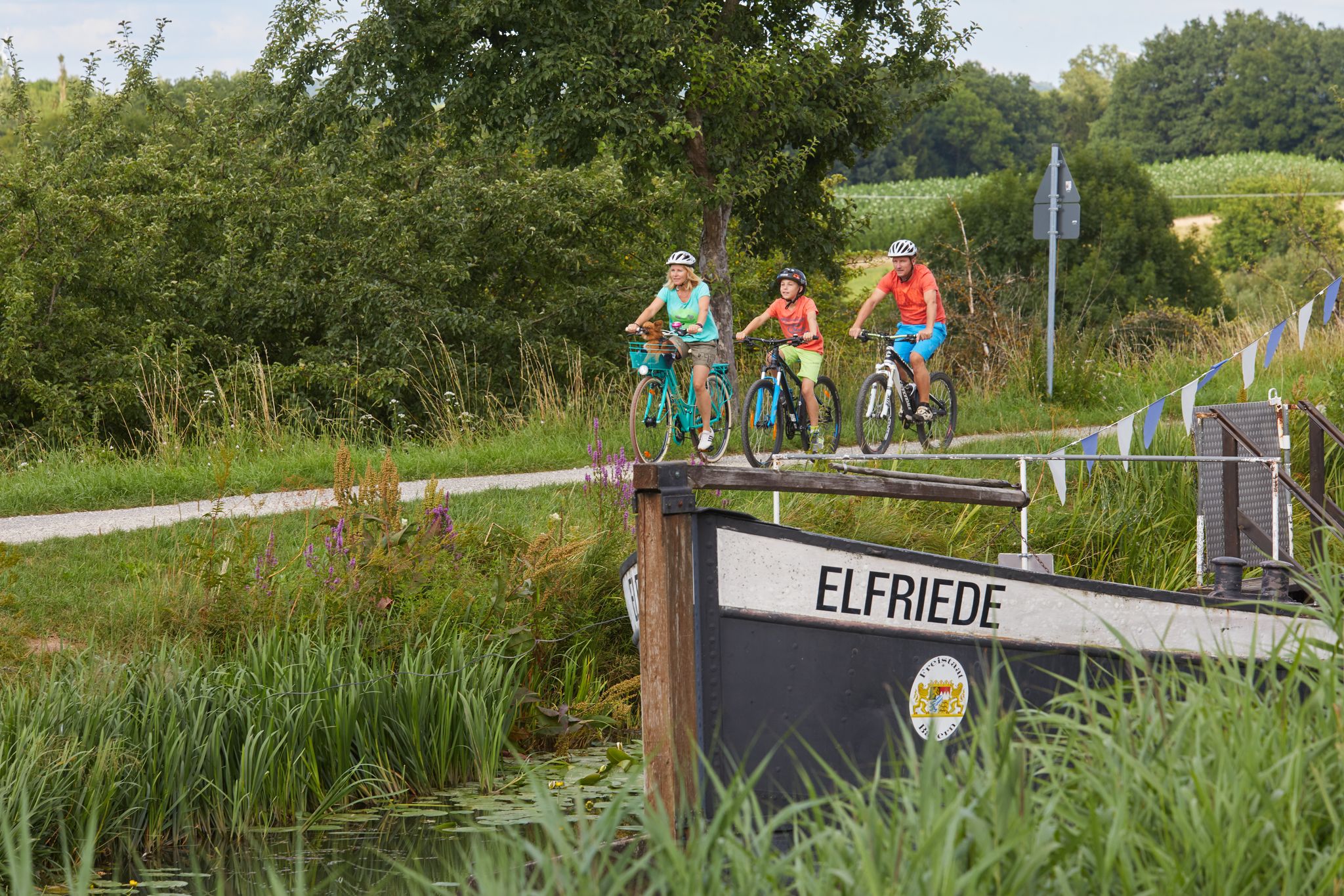
Varied family cycling routes in Nürnberger Land
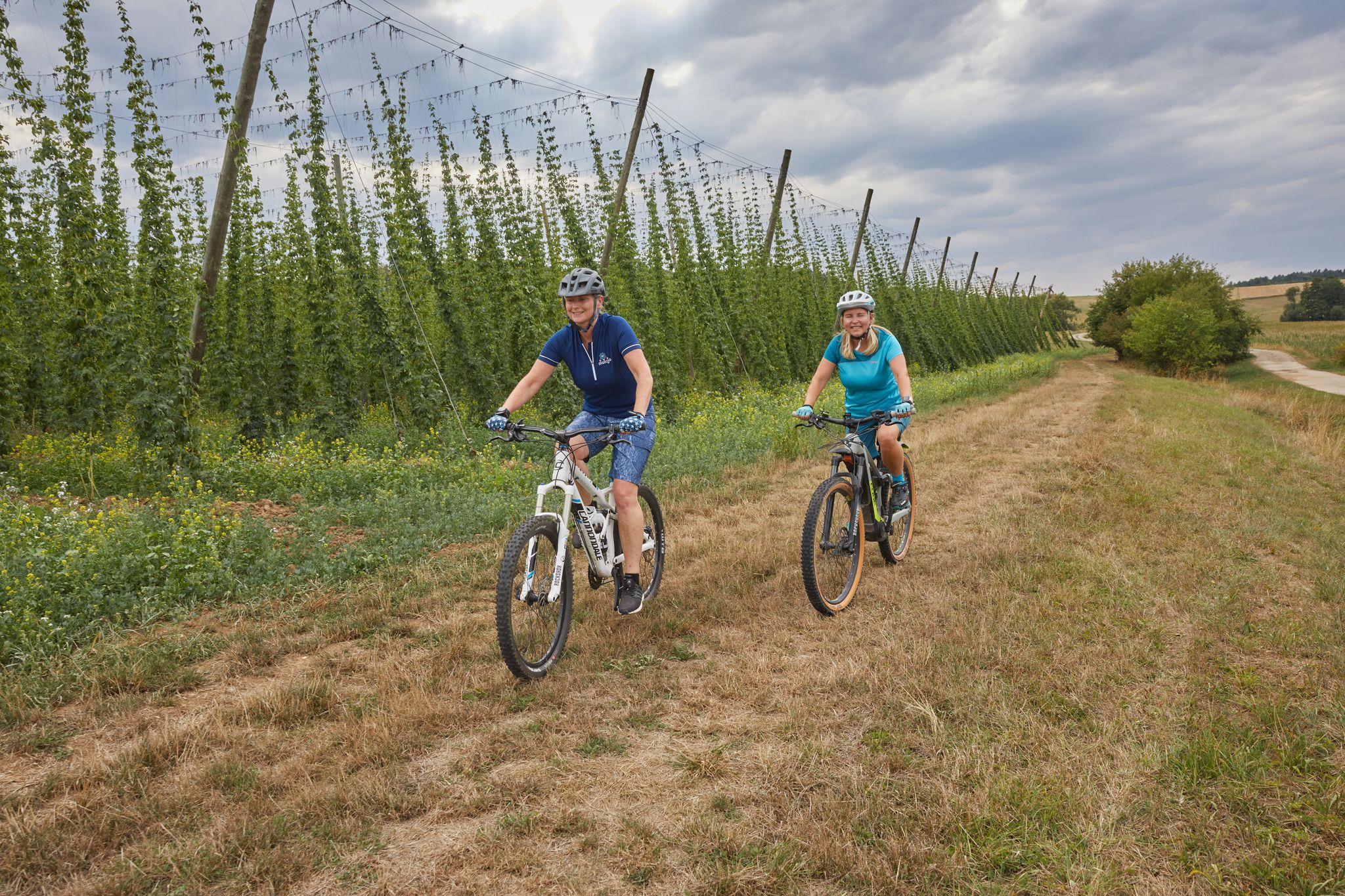
Explore the Nuremberg Land with all your senses – Sensory Cycle Path
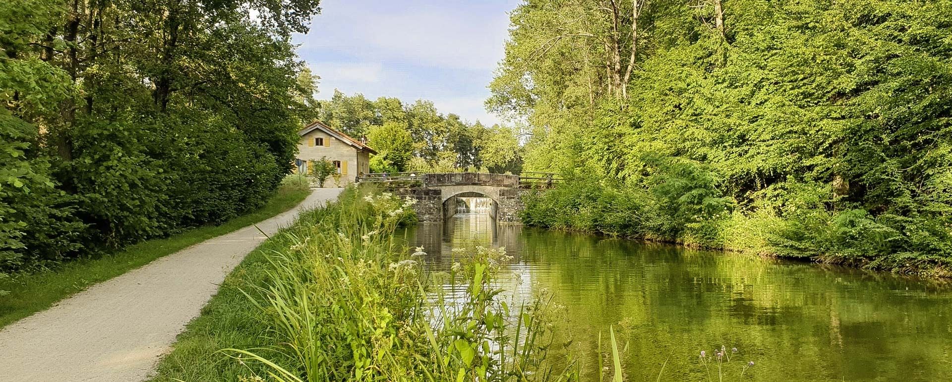
Gentle hills, rivers & forests – cycling in Germany’s Nuremberg Land
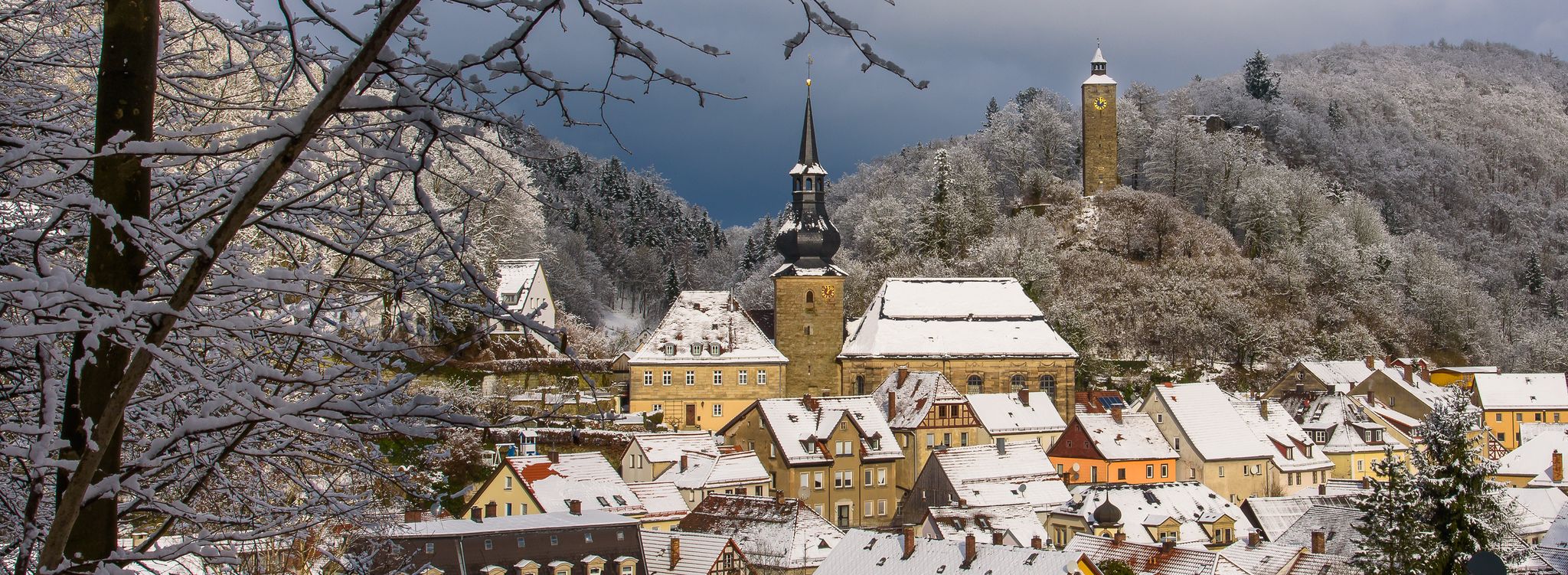
Get out into the fresh Nuremberg air – winter walks with VGN leisure tips
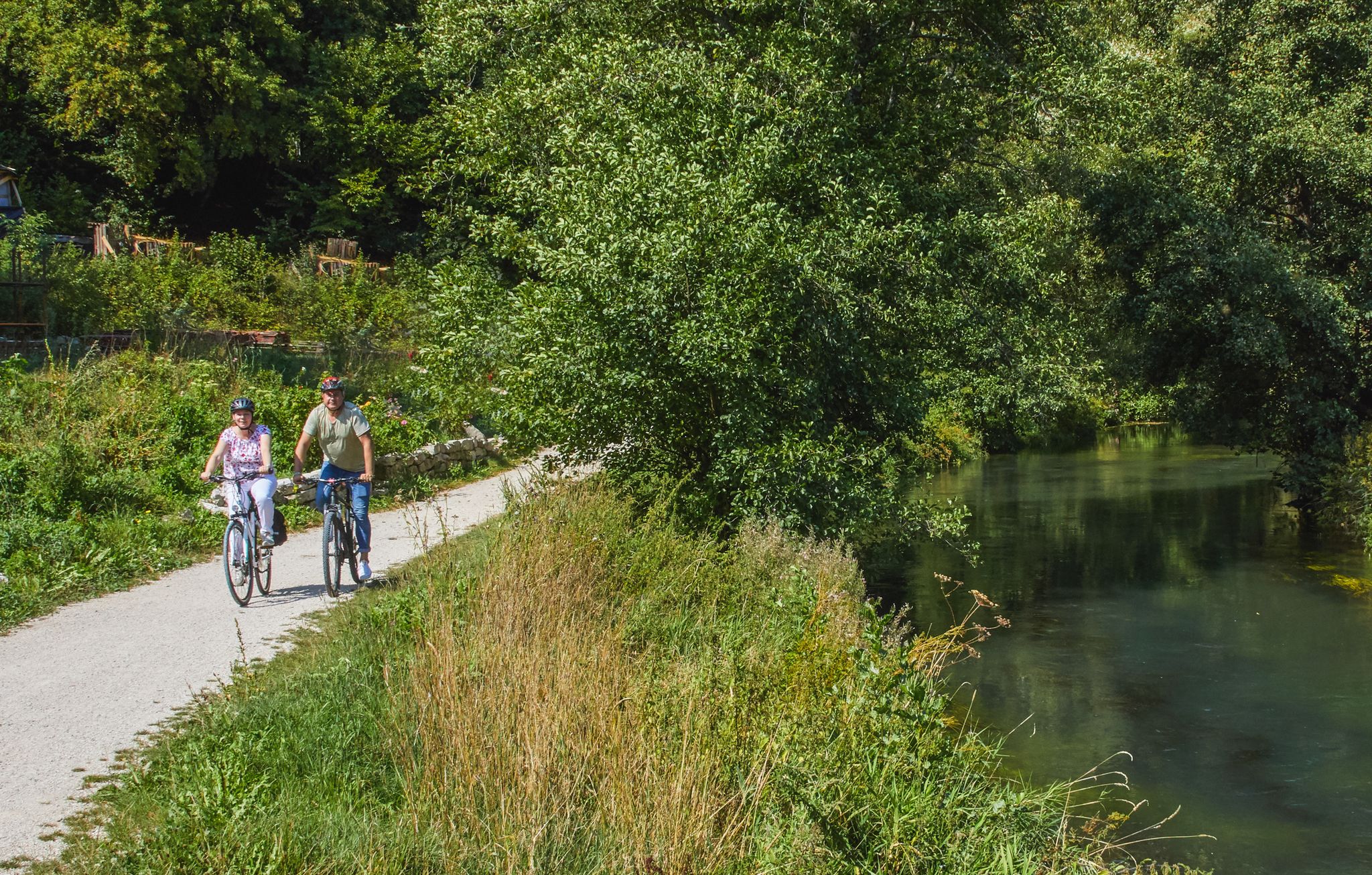
Rivers, forests, ancient castles - cycling in Nürnberger Land

Traffic-free bike rides around Feucht
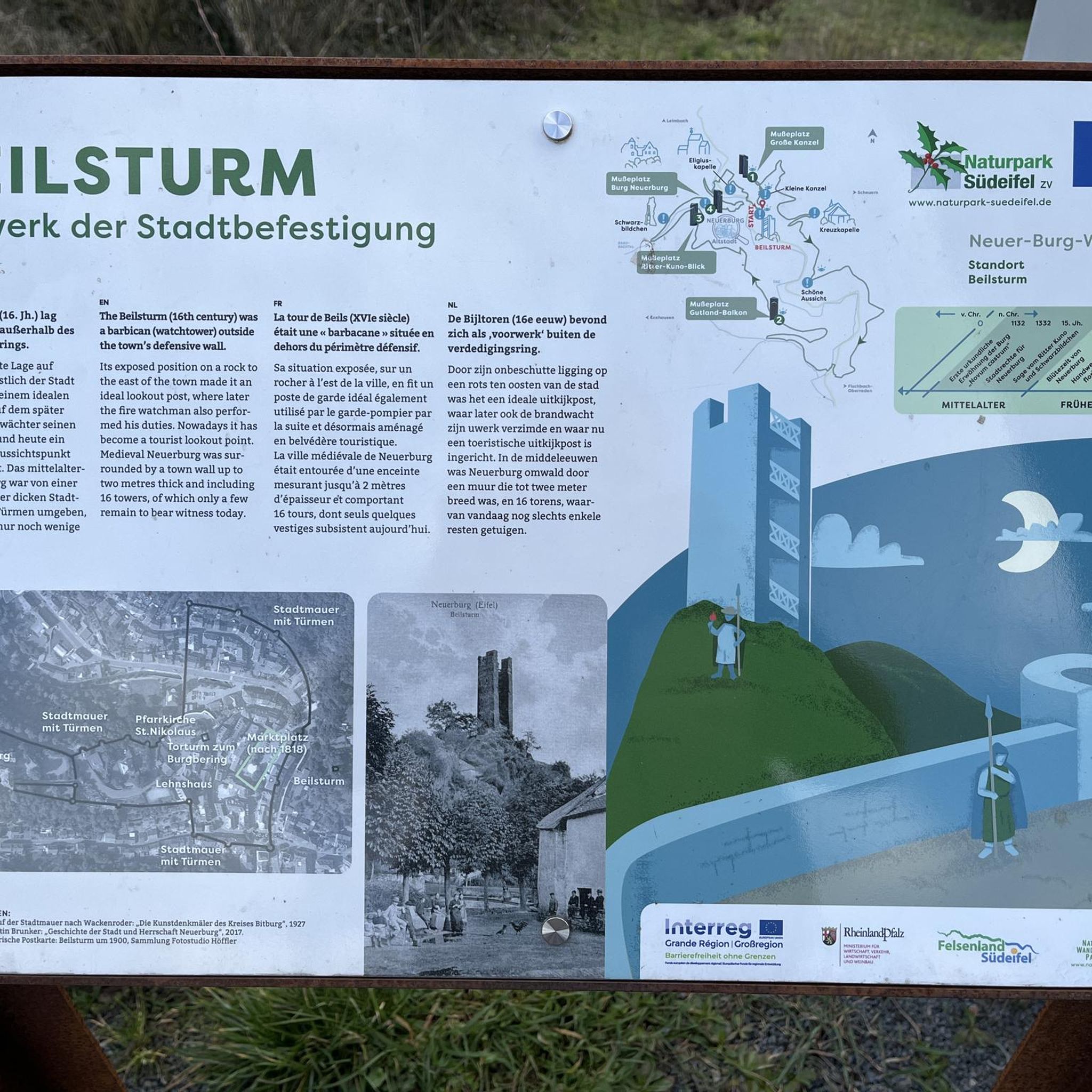
Traffic-free bike rides around Feucht
Other adventures around Feucht


Tips from the Community

Here you can cross the canal
0
0

Super view of the Main-Danube Canal
0
0

Church of the Assumption of Mary The church was originally dedicated to the Visitation of Mary and is now dedicated to the Assumption of Mary. The nave is stylistically dated to the late 13th century. The chancel likely dates from the first half of the 14th century. The elongated, plastered hall church, with a slightly recessed chancel, measures 54 meters in length and features stepped buttresses at the chancel. A gabled tower with a pointed spire on the west side is open at the bottom. The church is a single-nave structure with a large nuns' gallery and, below it, the burial vault (known as a crypt) for the founding families of Sulzbürg and Wolfstein. The design is simple, with high, bare walls and no paintings or sculptures to minimize distractions from prayer. By the mid-14th century, the church's clear tripartite division was complete: the nuns' church in the west, the lay church in the center, and the priests' church in the east. The nuns' primary duties consisted of choral prayer and work. It can therefore be assumed that the church and the monastic living quarters were the first buildings completed. Until the Reformation, almost all deceased members of the founding family were buried here, and the nuns prayed daily for their souls. Several gravestones from this period still exist. The nuns' choir stalls on the gallery have been preserved and are therefore unique in all of Europe. The Baroque altars that adorn the church were acquired around 1720 after all the paintings and altars were burned during the Reformation. The high altar was crafted by a carpenter named Ulrich Schäfer from Neumarkt; the sculptor of the figures is unknown. The altarpiece, "The Visitation of Mary," is by the Landshut painter Wolf Simon Groß. In the right side altarpiece, dating from the late 17th century, the Three Wise Men pay homage to the Christ Child, above which is a statue of the Archangel Michael with a flaming sword and scales. In the left side altar stands a statue of the Virgin Mary with the Christ Child at the center, flanked by the apostles Peter and Paul. Above, a guardian angel holds his hand over a child. On the north wall of the nave is a dynamic, life-size group of figures dating from 1762, depicting the crucifix with John Nepomuk, accompanied by a putto and an angel. Source: Excerpts from www.wikipedia.de / https://www.pfarrei-seligenporten.de
3
0
Seligenporten Monastery The monastery, dedicated to the Blessed Virgin Mary, was founded in 1242 by Gottfried the Elder of Sulzbürg and his wife Adelheid of Hohenfels as a nunnery. In 1247, the monastery, then called "Felix Porta" ("fortunate/blessed gate"), was incorporated into the Cistercian Order through the mediation of the Archbishop of Mainz, and this was confirmed in 1249 by Bishop Heinrich of Eichstätt. In 1299, King Albrecht granted the monastery lower jurisdiction. The monastery was endowed by donations from the citizens of Sulzbürg and later from Wolfstein, as well as from the local nobility, and also served as the burial place for the Wolfstein family. Over the course of its more than 300 years, the Cistercian nunnery had further founders and patrons. Around 1500, the monastery's holdings comprised 350 properties with 650 subjects in over 20 villages, who were liable for taxes. It held the patronage rights for seven parishes and two chaplaincies. In the second half of the 15th century, the Electors of the Palatinate began to bring the Upper Palatinate monasteries under their rule. These monasteries, all heavily indebted and in dire financial straits, were powerless to resist. In 1550, Anna von Kuedorf, the last abbess of the Cistercian convent of Seligenporten, was forced to accept the Protestant church order of the Palatine Elector Ottheinrich. With her death in 1576, Seligenporten, the last abbey in the Palatinate, finally passed into the possession of the sovereign. After the annexation of the Upper Palatinate by Elector Maximilian of Bavaria, it was recatholicized, and the monastery was re-established in 1625. In 1671, the monastery was transferred to the Salesian convent in Amberg. In the course of secularization in 1803, the buildings and properties passed into private hands. Today, the former monastery church is the parish church of Seligenporten. Most of the buildings were demolished. The remaining monastery buildings were taken over in 1930/31 by the expelled Cistercians of Sittich Abbey, belonging to the Mehrerau Congregation. The community of monks, now established in Seligenporten, numbered 16 members in 1963, but was dissolved again in 1967. The former abbey church was restored between 1976 and 1979. In 2003, the former brewhouse of the old monastery brewery was renovated, and a new microbrewery was established. Source: Excerpts from www.wikipedia.de
3
0

Idyllic little road between Mauk and Altenheideck. Slightly uphill from both directions, it almost feels like a mountain pass. The road is only one lane, so be careful of oncoming traffic.
0
0

Nice short training lap, almost only well-developed cycle paths
0
0
Frequently Asked Questions
How many no-traffic road cycling routes are available around Feucht?
There are 9 dedicated no-traffic road cycling routes around Feucht, offering a variety of experiences. These include 1 easy route, 7 moderate routes, and 1 difficult route, ensuring options for different fitness levels.
What kind of terrain can I expect on the no-traffic road cycling routes in Feucht?
The no-traffic road cycling routes in Feucht feature mostly well-paved paths, ideal for road bikes. You'll encounter a mix of rolling hills and relatively flat sections, with moderate elevation changes generally under 200 meters. Some longer routes, like the Seligenporten Monastery – Feucht <-> Ochenbruck cycle path loop, can have more significant climbs, reaching up to 745 meters of elevation gain.
Are there any family-friendly no-traffic road cycling routes in Feucht?
Yes, Feucht offers family-friendly options. The Old Town Hall Wendelstein – Wendelstein Old Town loop from Feucht is an easy route, spanning 17.4 km with minimal elevation gain, making it suitable for families looking for a relaxed ride away from traffic.
What natural features or landmarks can I see along the no-traffic road cycling routes?
Many routes traverse the expansive Lorenzer Reichswald, a protected forest area, offering beautiful natural scenery. You can also enjoy picturesque views of the Gauchsbach stream and the historic Ludwig Canal. For those interested in unique geological formations, nearby attractions include the Schwarzach Gorge (Schwarzachklamm) and various caves like Karl's Cave and Gustav Adolf Cave.
Are there any circular no-traffic road cycling routes around Feucht?
Yes, many of the no-traffic road cycling routes around Feucht are circular, allowing you to start and end at the same point. Examples include the Aurach Valley Ponds Road loop from Feucht and the Eichenhain loop from Feucht, providing convenient options for your ride.
What do other road cyclists enjoy most about the no-traffic routes in Feucht?
The no-traffic road cycling routes in Feucht are highly rated by the komoot community, with an average score of 4.46 out of 5 stars. Reviewers often praise the well-maintained, car-free paths, the scenic beauty of the Lorenzer Reichswald, and the variety of routes suitable for different skill levels.
Are there any long-distance no-traffic road cycling routes available?
Yes, for those seeking longer rides, Feucht offers several extensive no-traffic routes. The Aurach Valley Ponds Road loop from Feucht covers over 115 km, and the Seligenporten Monastery – Feucht <-> Ochenbruck cycle path loop is over 100 km, providing challenging and rewarding experiences.
Can I find cafes or pubs along the no-traffic cycling routes in Feucht?
While specific cafes are not listed for every route, the region around Feucht, especially in towns and villages along the routes, offers various opportunities for refreshments. Many routes pass through or near settlements where you can find places to stop for a break, a coffee, or a meal.
What is the best time of year for no-traffic road cycling in Feucht?
Feucht is generally suitable for road cycling throughout the warmer months, from spring to autumn. The well-paved paths make it enjoyable, and the forest areas provide pleasant shade during summer. Always check local weather conditions before heading out.
Are there any routes that feature historical elements?
Yes, the region's history is woven into its landscape. The Ludwig Canal, a historic waterway, is a prominent feature along some routes, offering a glimpse into the area's past. The Old Town Hall Wendelstein – Wendelstein Old Town loop from Feucht also takes you through areas with historical significance.
What is the most challenging no-traffic road cycling route in Feucht?
Among the no-traffic routes, the Seligenporten Monastery – Feucht <-> Ochenbruck cycle path loop is classified as difficult. It spans over 100 km and features the highest elevation gain of 745 meters, making it ideal for experienced road cyclists seeking a significant challenge.
Most popular routes around Feucht
Most popular attractions around Feucht

Get inspired with the komoot mobile app


Explore more
Browse the best Road cycling routes in other regions.
