The best hikes from bus stations around Gleinstätten
4.5
(1974)
11,197
hikers
28
hikes
Bus station hiking trails around Gleinstätten traverse a landscape characterized by rolling hills, lush green forests, and the scenic Sulm Valley. The region is situated at the foot of the South Styrian Wine Route, offering views of vineyards and access to the Sausal range of hills. Hikers can explore varied terrain, from river loops to paths leading through forested areas and past cultural landmarks.
Best bus station hiking trails around Gleinstätten
- The most popular bus station hiking route is St.…
Last updated: May 15, 2026
4.2
(9)
45
hikers
11.7km
03:26
300m
300m
Moderate hike. Good fitness required. Easily-accessible paths. Suitable for all skill levels.
4.7
(9)
28
hikers
15.1km
04:02
180m
180m
Moderate hike. Good fitness required. Easily-accessible paths. Suitable for all skill levels.

Sign up for free
3.0
(1)
15
hikers
4.71km
01:12
20m
20m
Easy hike. Great for any fitness level. Easily-accessible paths. Suitable for all skill levels.
3.0
(1)
11
hikers
13.1km
03:32
170m
170m
Moderate hike. Good fitness required. Easily-accessible paths. Suitable for all skill levels.
3.0
(1)
11
hikers
7.17km
01:51
30m
30m
Easy hike. Great for any fitness level. Easily-accessible paths. Suitable for all skill levels.
Get access to more routes and recommendations from other explorers.
Sign up for free
Already have an account?
Our route recommendations are based on thousands of hikes, rides, and runs completed by other people on komoot.
Start today with a free account
Your next adventure awaits.
Login or Signup
Popular around Gleinstätten
Other adventures around Gleinstätten

Tips from the Community

cozy rest stop right by the lake
0
0


A well-maintained campsite with a large number of long-term campers. The swimming pond is clean and equipped with an entrance, a lake, and a jetty. A cold shower is available. Cakes and delicious homemade stone-baked pizza are available in the pavilion.
0
0

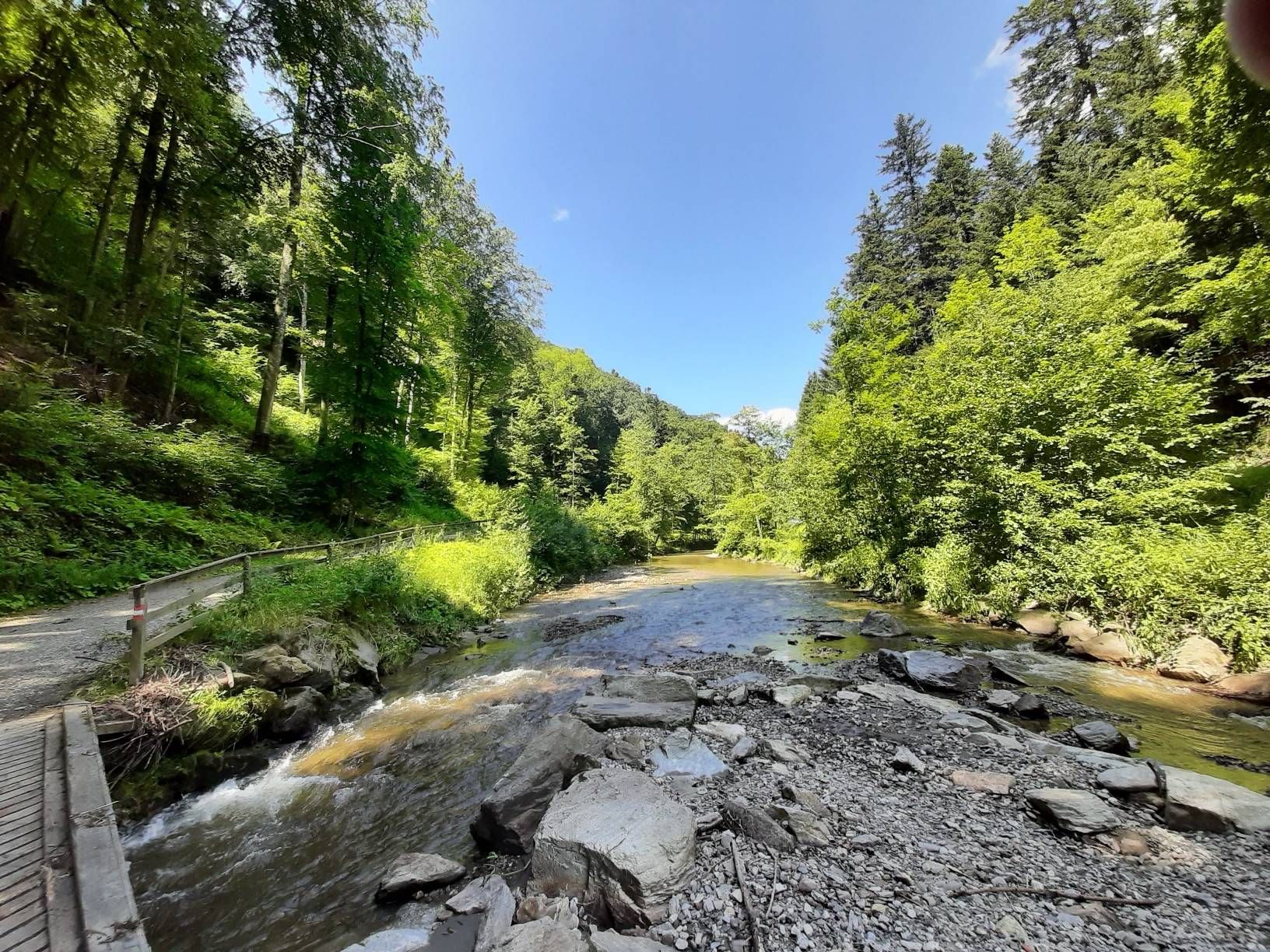
Here you will find beautiful little paths along the river
1
0

A cozy wine tavern with a great view and good food at very reasonable prices. The snack platter is highly recommended. The host is very friendly and also offers tips for further hiking.
0
0


Very good snack and friendly service
0
0
Frequently Asked Questions
How many bus-accessible hiking trails are available around Gleinstätten?
There are nearly 30 hiking trails around Gleinstätten that are easily accessible from bus stations. These routes offer a diverse range of experiences, with an even split of 14 easy and 14 moderate options, ensuring there's something for every fitness level.
What kind of landscapes can I expect on hikes accessible by bus in Gleinstätten?
Hikes from Gleinstätten's bus stations traverse a beautiful mix of rolling hills, lush green forests, and picturesque vineyards, especially those along the South Styrian Wine Route. Many routes also offer scenic views of the Sulm Valley and the Sulm River itself, providing a quintessential Styrian experience.
Are there any easy, family-friendly hikes accessible from Gleinstätten's bus stops?
Yes, Gleinstätten offers several easy routes perfect for families. A great option is the Weinland Camping Lake – Sulm River loop from Gleinstätten, which is just under 5 km long and features minimal elevation gain, making it suitable for a relaxed outing with children.
Can I find circular hiking routes that start and end at a bus station in Gleinstätten?
Absolutely. Many of the trails accessible by bus in Gleinstätten are circular, allowing you to start and finish your hike conveniently at the same bus stop. For example, the St. Theresa Chapel – View of the Sulm River loop from Gleinstätten is a moderate circular route offering stunning vistas.
What are some notable natural features or landmarks I can see on these bus-accessible trails?
The bus-accessible trails around Gleinstätten lead to several interesting natural features and landmarks. You can discover the beautiful Steinerne Wehr Sulm River Bath, the serene Annabründl Spring and Chapel, or the significant Confluence of the Lassnitz and the Sulm. Many routes also offer views of the Sausal range of hills and the Sulm Valley.
Are there any hikes from Gleinstätten bus stations that pass by lakes or rivers?
Yes, the Sulm River is a prominent feature in many local hikes. The Schloss Ottersbach – Sulm River loop from Gleinstätten is a great example, offering picturesque views along the river. You can also find routes that pass by the Gleinstätten Natural Swimming Lake and Campsite, perfect for a refreshing stop.
What do other hikers say about the bus-accessible trails in Gleinstätten?
The hiking trails around Gleinstätten are highly regarded by the komoot community, boasting an average rating of 4.5 out of 5 stars from nearly 2,000 reviews. Hikers frequently praise the well-maintained paths, the diverse scenery of vineyards and forests, and the convenience of accessing these routes via public transport.
Are there any longer, more challenging routes accessible from Gleinstätten's bus stops?
While there are no 'difficult' graded routes, several moderate options offer a good challenge. The Weinland Camping Lake – Kremserwirt Buschenschank loop from Gleinstätten is a moderate 13 km hike with over 170 meters of elevation gain, providing a longer and more strenuous experience.
Can I find places to eat or rest along the bus-accessible hiking trails?
Yes, the region is known for its culinary delights, especially along the South Styrian Wine Route. Many trails pass by traditional 'Buschenschanken' (wine taverns) and local eateries where you can enjoy regional specialties and refreshments. The region research mentions numerous viewpoints and refreshment stops along routes like the Gleinstättner Round.
What is the best time of year to hike the bus-accessible trails around Gleinstätten?
Gleinstätten is beautiful throughout the warmer months. Spring offers blooming vineyards and fresh greenery, while summer is ideal for enjoying the lakes and river. Autumn is particularly stunning with the changing colors of the vineyards and forests, making it a popular time for hiking and wine tasting.
Are there any historical sites or cultural points of interest along these trails?
Beyond natural beauty, some routes offer a journey through the region's past. The Burgstallkogel Hill, for instance, is significant for prehistoric hikes leading to ancient burial grounds. You might also encounter charming chapels like the St. Theresa Chapel amidst vineyards, blending cultural insights with impressive landscapes.
Most popular routes around Gleinstätten
Most popular attractions around Gleinstätten

Get inspired with the komoot mobile app


Explore more
Browse the best Hikes in other regions.
