The best walks and hikes around Gleinstätten
4.5
(2023)
11,287
hikers
43
hikes
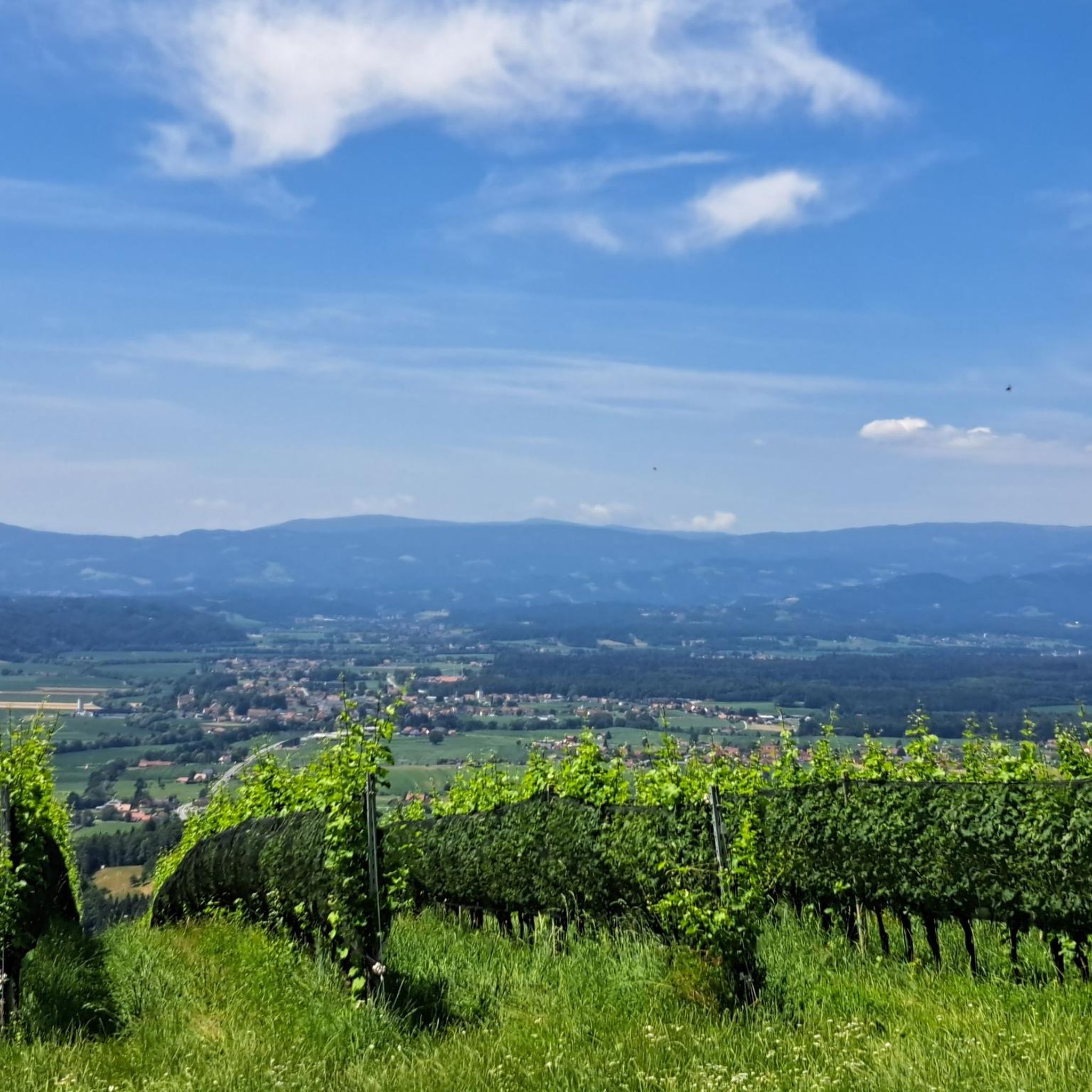
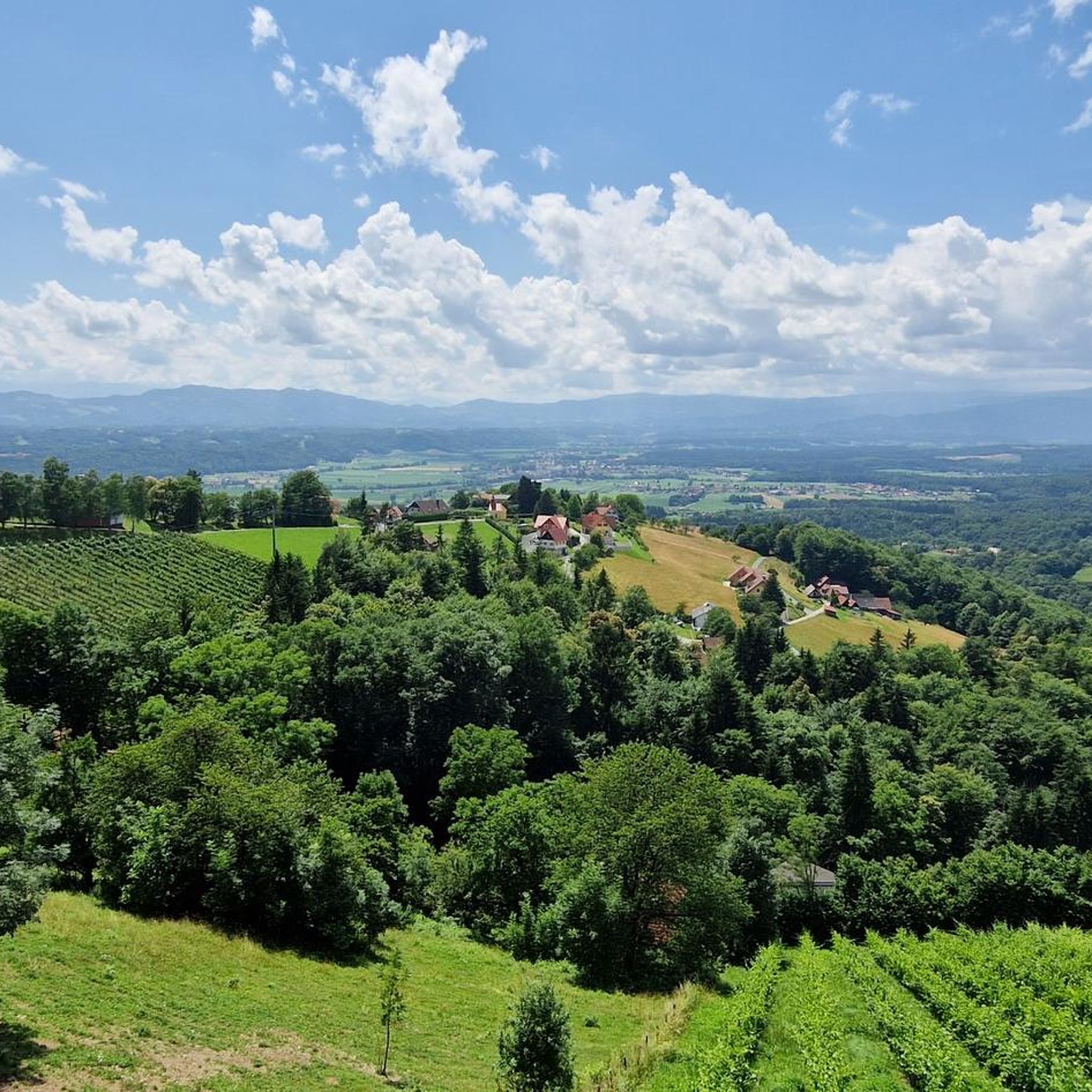
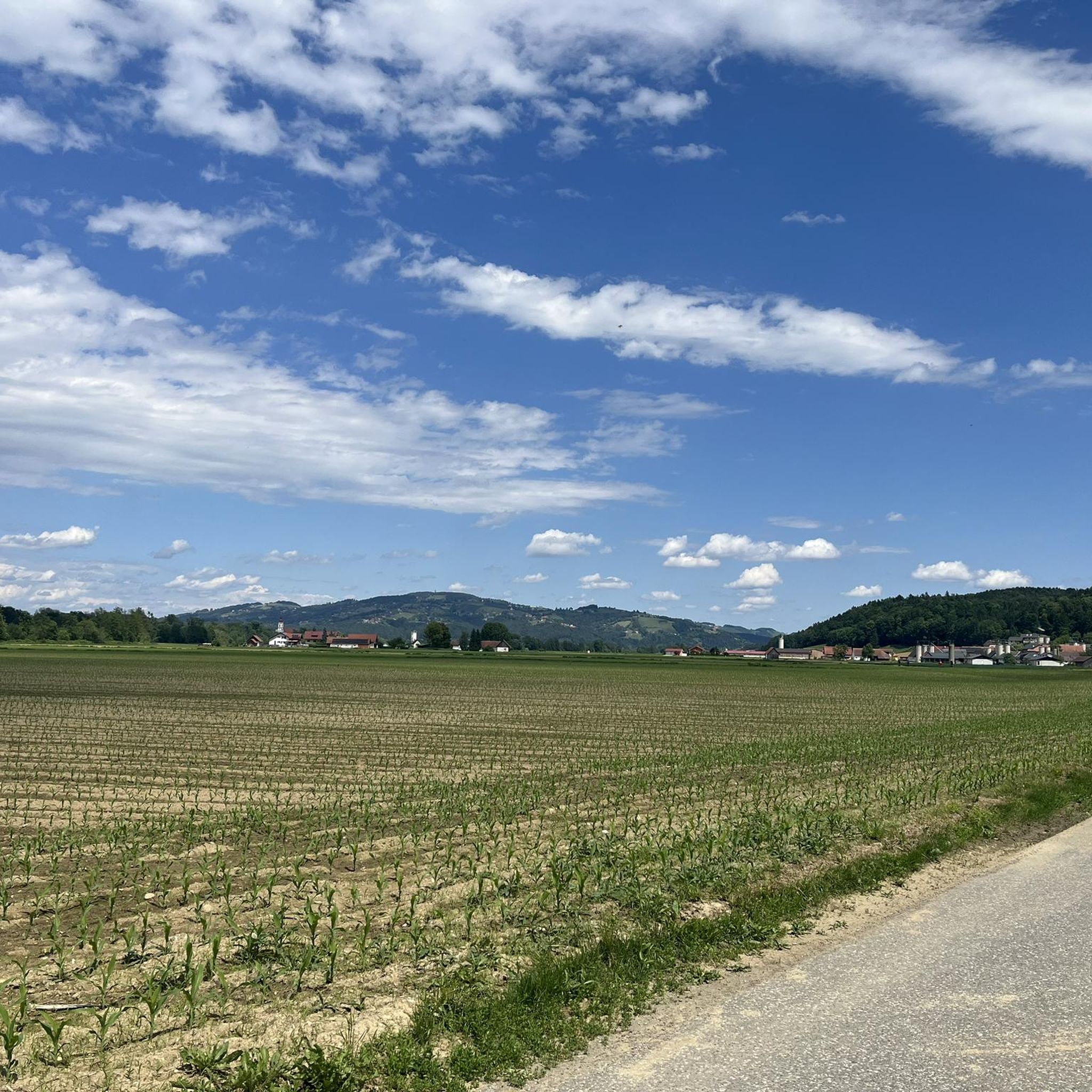
Hiking around Gleinstätten provides access to a varied landscape characterized by rolling hills, green forests, and the Sulm Valley. The region is situated at the foot of the South Styrian Wine Route, with trails winding through vineyards. The nearby Sausal range of hills offers elevated perspectives, and the area serves as a gateway to the Southern Styria Nature Park.
Best hiking trails around Gleinstätten
- The most popular hiking route is Demmerkogel Observation Tower – Largest Klapotetz loop from Demmerkogel-Südhänge, Wellinggraben…
Last updated: June 26, 2026
4.4
(20)
69
hikers
Moderate hike. Good fitness required. Easily-accessible paths. Suitable for all skill levels.
4.2
(9)
45
hikers
11.7km
03:26
300m
300m
Moderate hike. Good fitness required. Easily-accessible paths. Suitable for all skill levels.

Sign up for free
5.0
(4)
27
hikers
Moderate hike. Good fitness required. Mostly accessible paths. Sure-footedness required.
4.7
(9)
28
hikers
15.1km
04:02
180m
180m
Moderate hike. Good fitness required. Easily-accessible paths. Suitable for all skill levels.
3.0
(1)
15
hikers
4.71km
01:12
20m
20m
Easy hike. Great for any fitness level. Easily-accessible paths. Suitable for all skill levels.
Get access to more routes and recommendations from other explorers.
Sign up for free
Already have an account?
Our route recommendations are based on thousands of hikes, rides, and runs completed by other people on komoot.
Start today with a free account
Your next adventure awaits.
Login or Signup

Other adventures around Gleinstätten

Tips from the Community

cozy rest stop right by the lake
0
0


After two lookout towers on the Demmerkogel had already burned down, this magnificent lookout tower was opened in 2023, offering stunning views of the surrounding area and far into Slovenia. A drinks vending machine is located in a hut right next to the lookout tower. Drinking water dispensers and a restroom are located a few meters further down the access road, almost before the final steep section to the lookout tower.
0
0

At 23.8m it towers above the tallest trees and offers a wonderful panoramic view as far as Graz in the north or Riegersburg in the east
0
0

A well-maintained campsite with a large number of long-term campers. The swimming pond is clean and equipped with an entrance, a lake, and a jetty. A cold shower is available. Cakes and delicious homemade stone-baked pizza are available in the pavilion.
0
0

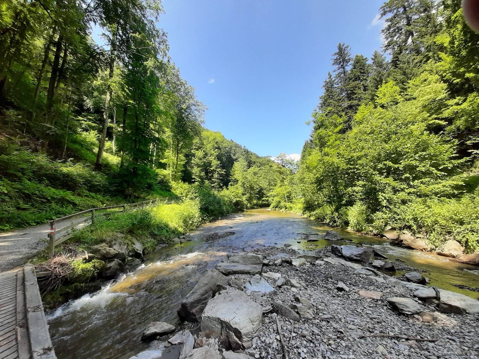
Here you will find beautiful little paths along the river
1
0


Frequently Asked Questions
How many hiking trails are available around Gleinstätten?
There are over 40 hiking trails in the Gleinstätten area, catering to various fitness levels. You'll find a good mix of easy and moderate routes, with 21 easy trails and 22 moderate options.
Are there any easy, family-friendly hikes in Gleinstätten?
Yes, Gleinstätten offers several easy routes suitable for families. The region's rolling hills and forests provide gentle paths. For a shorter, easy walk, consider the Weinland Camping Lake – Sulm River loop from Gleinstätten, which is under 5 km and takes about 1 hour 15 minutes.
Which trails offer the best views of the Sulm Valley and vineyards?
Many trails in Gleinstätten provide excellent views. The St. Theresa Chapel – View of the Sulm River loop from Gleinstätten is a moderate route that leads past the Theresienkapelle, offering splendid vistas of the Sulm River and surrounding vineyards. The Sausal range of hills also provides expansive views.
Are there circular hiking routes available in Gleinstätten?
Yes, many of the trails around Gleinstätten are circular. For example, the Demmerkogel Observation Tower – Largest Klapotetz loop is a moderate circular route that includes an observation tower and the traditional largest wind rattle. The Pistorfer Circular Trail, mentioned in regional research, also offers several variants with diverse scenery.
Can I hike with my dog in Gleinstätten?
Gleinstätten's natural landscapes, with rolling hills and forests, are generally welcoming for dogs. Most trails are suitable for well-behaved dogs on a leash. Always ensure you carry water for your pet and check local regulations for specific areas, especially near vineyards or protected natural areas.
What kind of natural attractions can I find along the hiking trails?
Along the trails, you can discover various natural attractions. Highlights include the Steinerne Wehr Sulm River Bath and the Confluence of the Lassnitz and the Sulm. Some routes also feature a butterfly meadow and a forest and wildlife nature trail, particularly within the Southern Styria Nature Park.
Are there any historical or cultural landmarks to see while hiking?
Yes, Gleinstätten offers a blend of nature and culture. You can visit the historic Renaissance Annabründl Spring and Chapel, or explore the 'Mythenreich' (realm of myths) at Gleinstätten Castle. Hikes over the Sausal hills may lead past the Theresienkapelle, and prehistoric burial grounds on Burgstallkogel hill add a historical element.
What is the best season for hiking in Gleinstätten?
The region is beautiful throughout the warmer months. Spring and autumn are particularly pleasant, with mild temperatures and vibrant colors in the vineyards and forests. Summer offers lush greenery, but be prepared for warmer weather. Winter hiking is also possible, though some trails might be less accessible depending on snow conditions.
Are there places to eat or rest along the hiking routes?
Yes, the region is known for its culinary delights. Many routes, especially those winding through the South Styrian Wine Route, pass by traditional wine taverns (Buschenschanken) and restaurants. You can find places like Heuriger Holzhüttn or Wutschnig-Legat Inn for refreshments and local specialties.
What do other hikers say about the trails in Gleinstätten?
The hiking trails in Gleinstätten are highly rated by the komoot community, with an average score of 4.4 stars from around 240 reviews. Hikers often praise the varied terrain, the beautiful vineyard landscapes, and the well-maintained paths that offer both natural beauty and cultural insights.
Are there any routes that pass by a natural swimming spot?
Yes, the area features a natural swimming pond, providing opportunities for relaxation. While not directly on every hiking route, some trails may lead you close to the Puschnig Pond or the Steinerne Wehr Sulm River Bath, offering a chance to cool off.
Are there any longer, more challenging hikes available?
While Gleinstätten primarily offers easy to moderate routes, some longer options exist. The Schloss Ottersbach – Sulm River loop from Gleinstätten is a moderate 15 km route. Regional research also mentions the St. Andrä - Höcher Round, which is a more challenging option extending for almost 18 km.
Most popular routes around Gleinstätten
Most popular attractions around Gleinstätten

Get inspired with the komoot mobile app


Explore more
Browse the best Hikes in other regions.
