The best hikes from bus stations around Angerberg
4.6
(12587)
59,707
hikers
11
hikes
Bus station hiking trails around Angerberg offer access to a region characterized by rolling hills, green meadows, and views of surrounding mountain peaks in Tyrol's Inn Valley. The area's diverse landscapes provide a variety of hiking experiences. Trails traverse valleys, mountain forests, and alpine meadows, with elevations starting around 650 meters.
Best bus station hiking trails around Angerberg
- The most popular bus station hiking route is Hundalmjoch Summit Cross – Vormittl Spring loop from Angerberg, a 6.7 miles (10.7…
Last updated: September 30, 2026
4.7
(7)
101
hikers
10.7km
05:38
1,020m
1,020m
Hard hike. Very good fitness required. Sure-footedness, sturdy shoes and alpine experience required.
4.5
(2)
10
hikers
9.12km
02:34
180m
180m
Moderate hike. Good fitness required. Easily-accessible paths. Suitable for all skill levels.

4.5
(2)
8
hikers
10.8km
03:04
220m
220m
Moderate hike. Good fitness required. Mostly accessible paths. Sure-footedness required.
5.0
(1)
6
hikers
8.65km
02:21
130m
130m
Moderate hike. Good fitness required. Easily-accessible paths. Suitable for all skill levels.
10
hikers
5.47km
01:27
50m
60m
Easy hike. Great for any fitness level. Easily-accessible paths. Suitable for all skill levels.
Get access to more routes and recommendations from other explorers.
Already have an account?
Our route recommendations are based on thousands of hikes, rides, and runs completed by other people on komoot.
Start today with a free account
Your next adventure awaits.
Popular around Angerberg
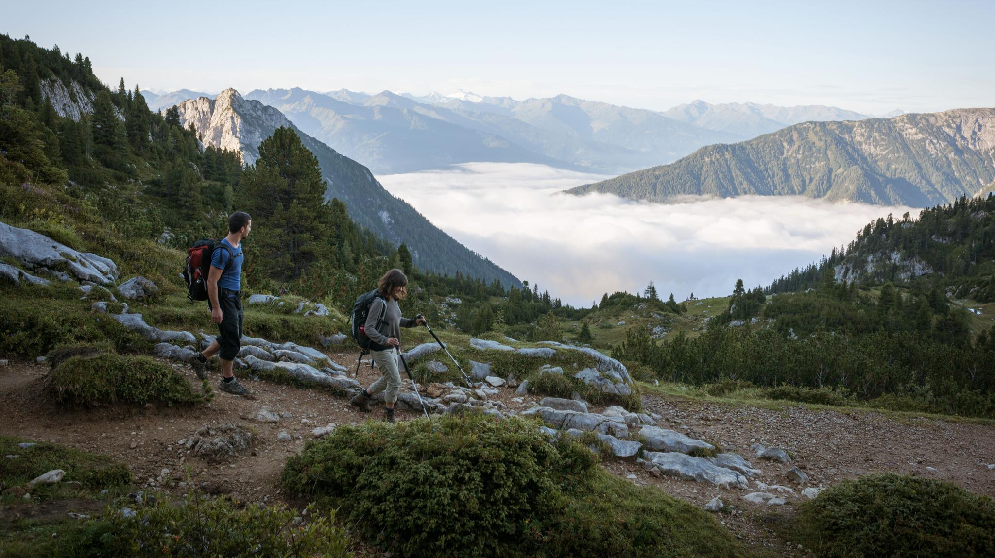
Eagle Walk – Majestic hiking along Tirol's trail
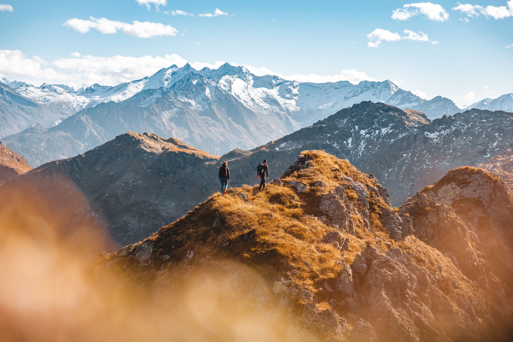
Autumn hiking gold in the Kitzbühel Alps
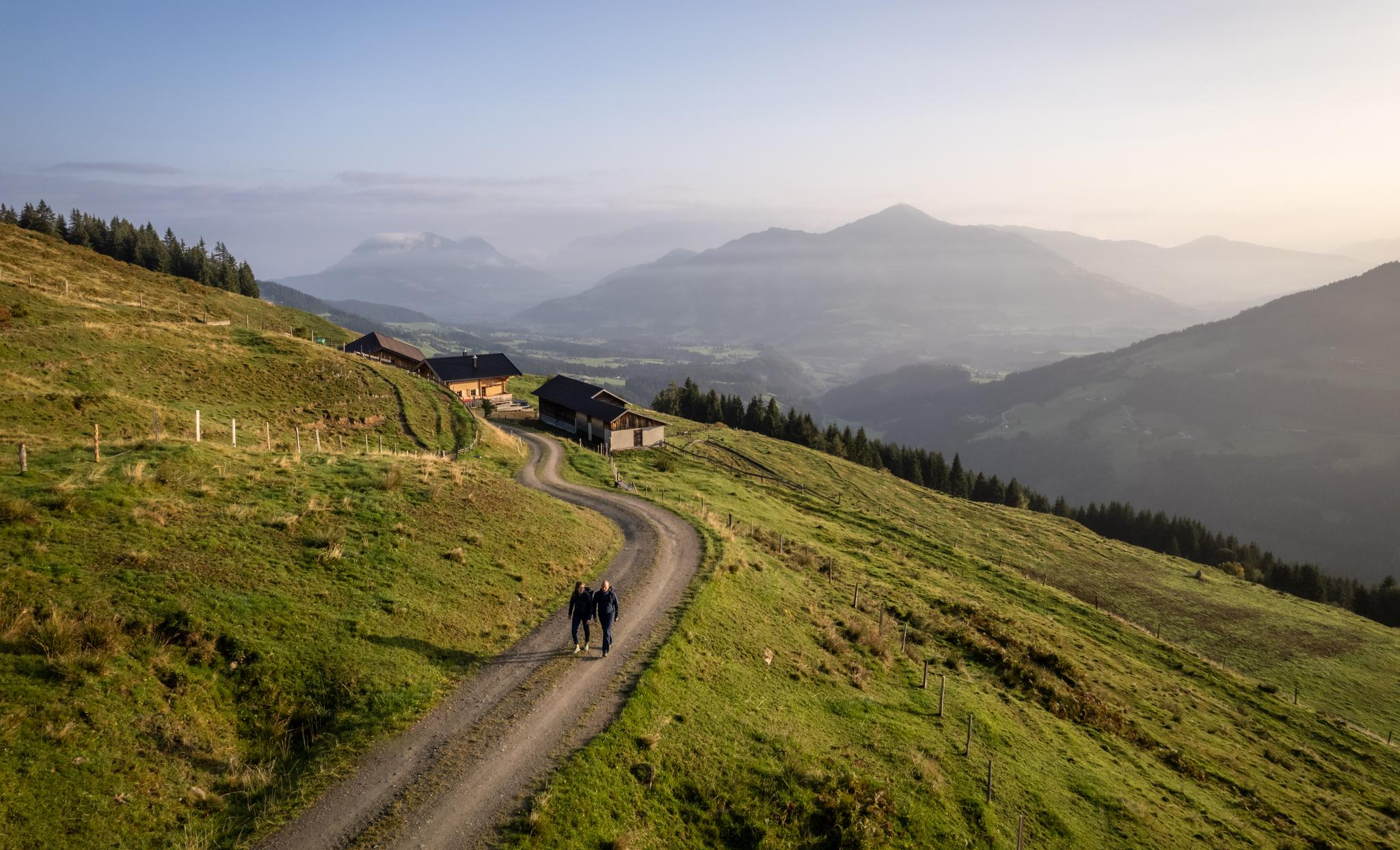
Varied and vibrant hiking in the Kitzbühel Alps

Autumn is hiking time – golden trails in the Hohe Salve region
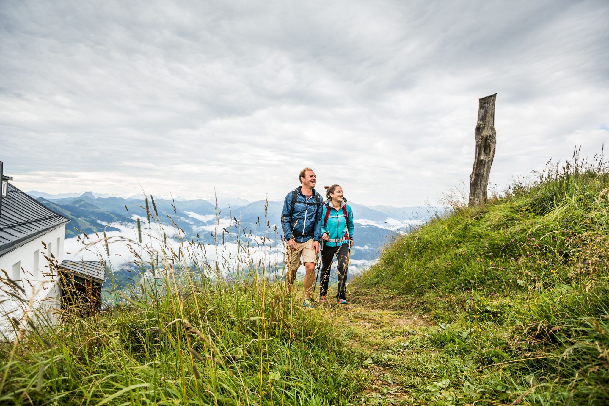
Gentle trails, breathtaking views — welcome at the Hohe Salve in Tyrol
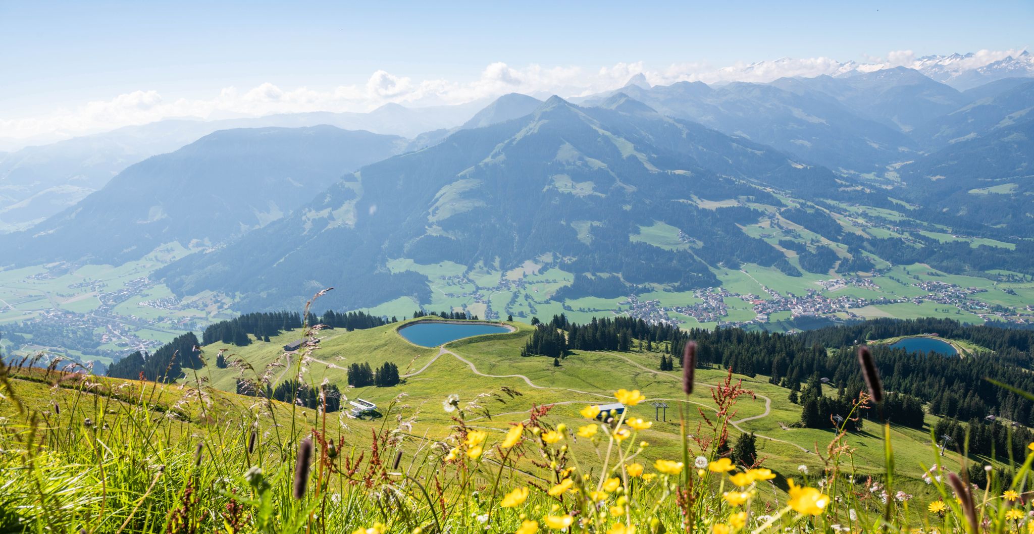
Hiking the Hohe Salve in Tyrol – Probably the best view in Austria
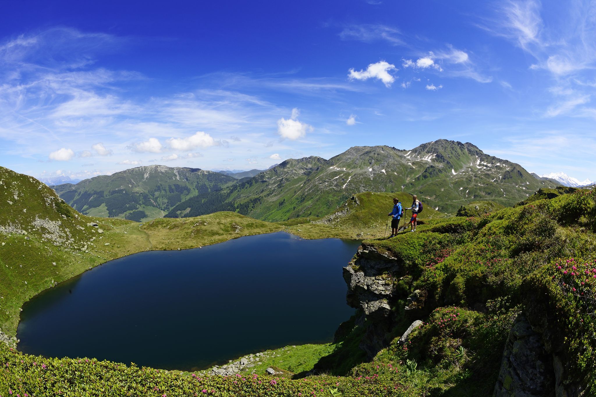
The most beautiful views of Tyrol — Hohe Salve
Other adventures around Angerberg


Tips from the Community

The small municipal area stretches above the Inn Valley (Inntal) east of Innsbruck, at the foot of the Brandenberg Alps. Situated at an altitude of 575 m, Mariastein, nestled in the vast forests along the Inn, is one of the most famous pilgrimage sites in Tyrol.
0
0

Beautiful landscape view around the two maple trees. Simply wonderful
2
0

Quite exceptional to see regular maples here. There are 8 known in Tyrol and are regularly measured and examined.
2
1

2 maple trees in the field.
3
0

Sensational mountain with panoramic views, from the Kaisergebirge to the Großglockner and Großvenediger :-)
1
0

Beautiful resting place, located directly by the stream.
0
0
2 beautiful maple trees in the middle of the field.
2
0

Fill up with drinking water for humans and dogs
1
0
Frequently Asked Questions
How many bus station hiking trails are available around Angerberg?
There are 12 bus-accessible hiking trails around Angerberg, offering a diverse range of experiences for all skill levels. These include 6 easy, 5 moderate, and 1 difficult route.
Are there easy bus-accessible hikes for beginners or families in Angerberg?
Yes, Angerberg offers 6 easy bus-accessible routes perfect for beginners or families. A great option is the Chapel in Austria loop from Angerberg, which is approximately 3 km long and takes less than an hour, offering a gentle introduction to the region's beauty.
What are some moderate bus-accessible hiking options with good views in Angerberg?
For moderate hikes with scenic views, consider the View of Buchacker – Chapel in Austria loop from Angerberg. This route is about 9.1 km long and takes around 2.5 hours, providing lovely vistas of the Buchacker area and the surrounding Inn Valley.
Are there any challenging bus-accessible hikes for experienced hikers?
Yes, for experienced hikers seeking a challenge, the Hundalmjoch Summit Cross – Vormittl Spring loop from Angerberg is an excellent choice. This difficult route spans over 10 km and involves significant elevation gain, leading to the rewarding views from the Hundalmjoch Summit Cross.
What kind of natural attractions can I see along bus-accessible hiking trails in Angerberg?
Angerberg's bus-accessible trails offer access to impressive natural features. You can explore the stunning Kundler Gorge, known for its unique rock formations, or hike towards the Pendling Summit Cross for panoramic mountain views. The region also features rolling hills, green meadows, and diverse forest landscapes.
Are there any circular bus-accessible routes around Angerberg?
Many of the bus-accessible routes around Angerberg are circular, allowing you to start and end at the same point without needing to retrace your steps. Examples include the Chapel in Austria – Two Maple Trees in Mariastein loop from Angerberg and the View of Buchacker – Wayside Shrine loop from Angerberg.
What is the best time of year for bus-accessible hiking in Angerberg?
The best time for bus-accessible hiking in Angerberg is generally between spring and autumn. During these seasons, the weather is mild, and nature is in full bloom, offering ideal conditions for exploring the diverse landscapes and enjoying the panoramic views.
What do other hikers enjoy most about bus-accessible hiking in Angerberg?
The bus-accessible trails in Angerberg are highly rated by the komoot community, with an average score of 4.6 stars from over 11,000 ratings. Reviewers often praise the region's diverse scenery, well-maintained paths, and the accessibility of stunning viewpoints and natural attractions directly from public transport stops.
Are there any mountain huts or places to rest along the bus-accessible trails?
Yes, some trails lead past cozy mountain huts where you can rest and enjoy refreshments. For example, the area around Angerberg provides access to huts like the Pendlinghaus, which offers phenomenal panoramas of Kufstein and the Kaiser Mountains, and the Mariandl Alm.
Can I find trails with viewpoints accessible by bus in Angerberg?
Absolutely. Angerberg is known for its spectacular viewpoints. Many bus-accessible trails offer stunning vistas of the Inn Valley and surrounding mountain peaks. The Pendling Summit Cross is a prime example, rewarding hikers with expansive views of Kufstein and the Kaiser Mountains.
Most popular routes around Angerberg
Most popular attractions around Angerberg

Get inspired with the komoot mobile app


Explore more
Browse the best Hikes in other regions.
