The best hikes from bus stations around Schmirn
4.6
(15779)
80,098
hikers
21
hikes
Bus station hiking trails around Schmirn are set within the dramatic alpine scenery where the Tuxer Alps and Zillertal Alps converge. The region is characterized by majestic peaks, diverse valleys, and the presence of glaciers and serene lakes. Hikers can explore a landscape composed of high mountain terrain, framed by striking summits and dotted with traditional settlements.
Best bus station hiking trails around Schmirn
- The most popular bus station hiking route is Frauenwand (2,541 m) – Tuxerjoch loop from Ladins…
Last updated: June 27, 2026
5.0
(20)
81
hikers
16.8km
06:04
940m
940m
Hard hike. Very good fitness required. Sure-footedness, sturdy shoes and alpine experience required.
4.8
(16)
92
hikers
14.7km
04:52
720m
720m
Moderate hike. Good fitness required. Mostly accessible paths. Sure-footedness required.

Sign up for free
4.2
(5)
57
hikers
4.30km
01:26
220m
220m
Easy hike. Great for any fitness level. Easily-accessible paths. Suitable for all skill levels.
5.0
(3)
40
hikers
9.17km
03:06
470m
470m
Moderate hike. Good fitness required. Easily-accessible paths. Suitable for all skill levels.
4.5
(4)
22
hikers
9.14km
03:25
470m
470m
Hard hike. Good fitness required. Sure-footedness, sturdy shoes and alpine experience required.
Get access to more routes and recommendations from other explorers.
Sign up for free
Already have an account?
Our route recommendations are based on thousands of hikes, rides, and runs completed by other people on komoot.
Start today with a free account
Your next adventure awaits.
Login or Signup
Popular around Schmirn
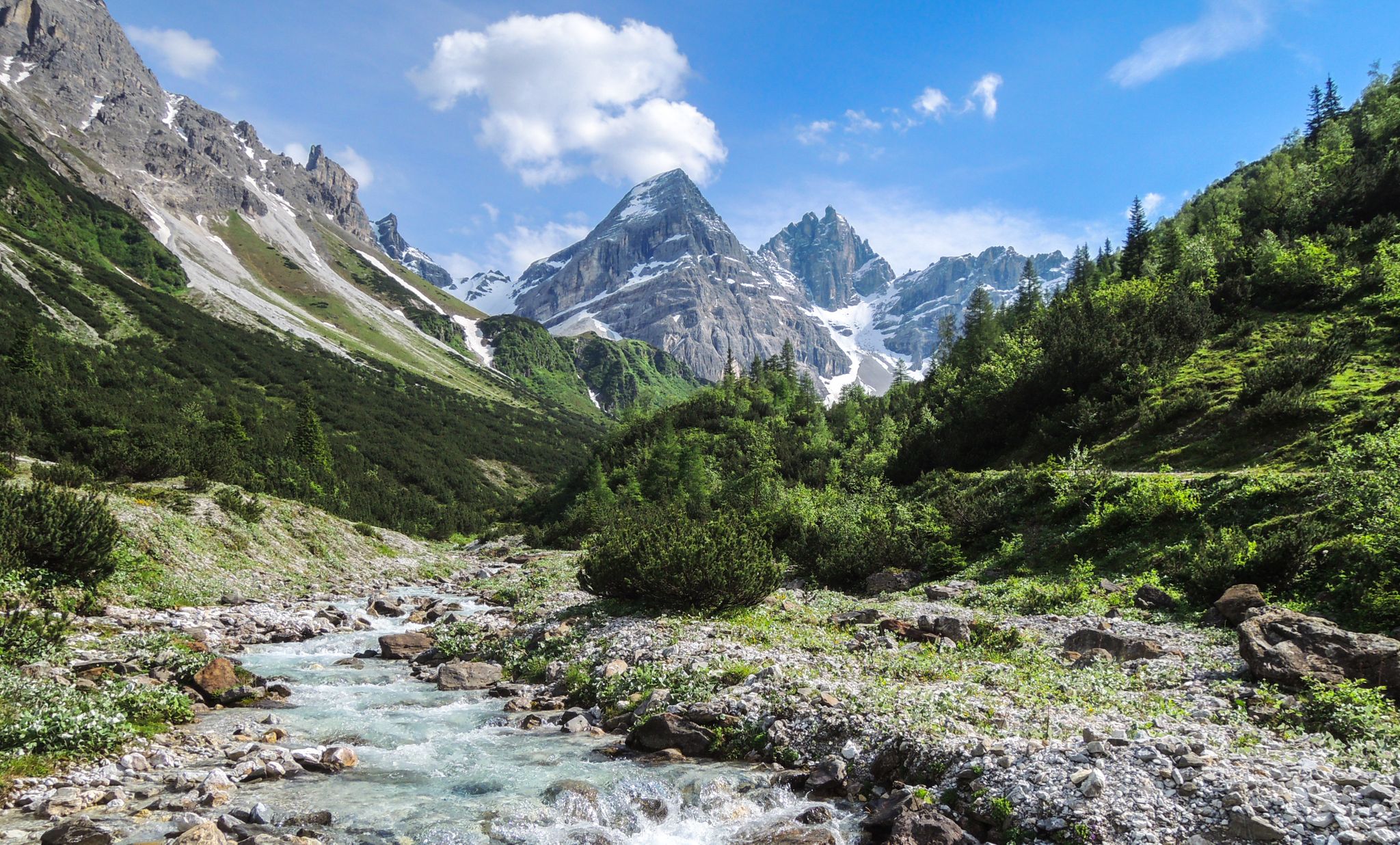
A journey of discovery in Tyrol – hidden places in the Wipptal Valley
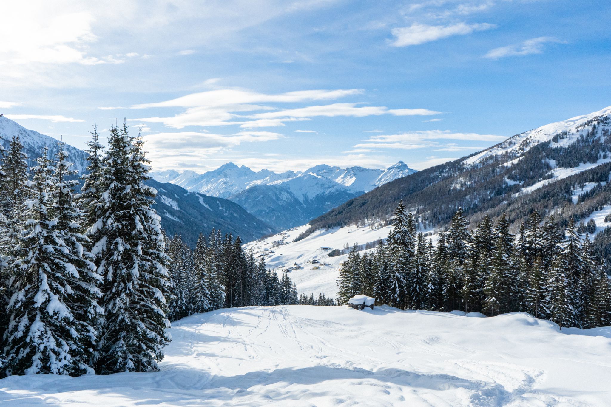
Your winter in Austria’s Wipptal Valley: 10 tips for adventuring in the snow
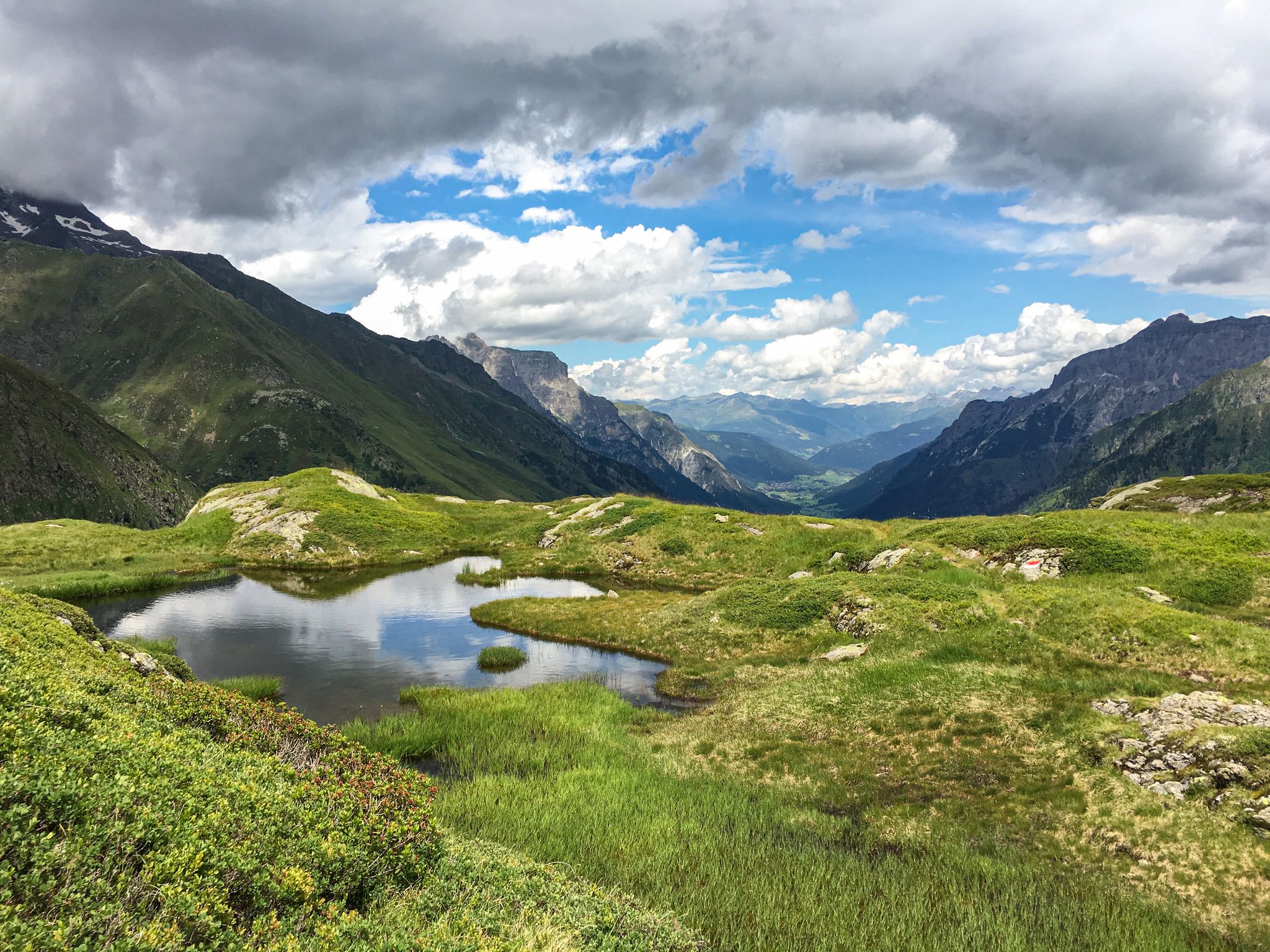
Lonely lakes and thundering waterfalls – magical places in the Wipp Valley

Fünf kulinarische Alm- und Hüttenwanderungen im Wipptal
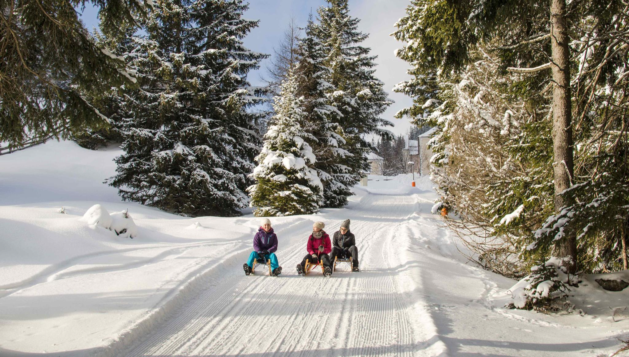
Rodelspaß und urige Hütten – Winterzauber Wipptal
Other adventures around Schmirn

Tips from the Community


Beautiful views of the Tuxbach spring area from the Frauenwand
0
0

You can eat delicious food there
0
0

In summer, self-service drinks are available at the alpine hut. The cash register for drinks and donations is on the wall inside the hut. 🙂 A beautiful little hike. Also easy to manage with a small child. Be careful, though, on the steep slopes towards the stream. Always let your child walk towards the mountain, not the slope. ❣️
0
0

Simply magnificent! A different, fantastic view at every point.
0
0

A beautiful mountain lake for snowmaking
1
0
Great roast pork and a Zillertal wheat beer
0
0

From here, the tedious but worthwhile ascent to the Kaserer Nordgrat and then on to the Kleiner Kaserer begins. 🥾⛰️
0
0
Frequently Asked Questions
How many bus-accessible hiking trails are available in Schmirn?
There are over 20 hiking trails around Schmirn that are easily accessible from bus stations, offering a variety of experiences for all skill levels.
Are there easy hiking trails accessible by bus in Schmirn?
Yes, Schmirn offers several easy hiking trails that are perfect for a relaxed outing. For example, the Kluppental – Alpine Cabins in the Kluppe loop from Ladins is an easy option, taking you through picturesque landscapes with minimal elevation gain.
What is the best time of year for bus-accessible hiking in Schmirn?
The best time for hiking in Schmirn is generally during summer, when the weather is mild and the alpine flowers are in full bloom, adding vibrant colors to the trails. Autumn also offers spectacular displays of color in the surrounding forests, making it another excellent season for a visit.
Are there any circular hiking routes from bus stations in Schmirn?
Yes, many of the bus-accessible trails in Schmirn are circular, allowing you to start and end at the same point. The Tuxerjoch with Snowmaking Pond – Alpengasthof Kasern loop from Ladins is a moderate circular route offering stunning views and a chance to visit a historic alpine guesthouse.
What kind of natural attractions can I see along the bus station hiking trails?
Schmirn's bus-accessible trails lead to diverse natural attractions. You can encounter majestic peaks like the Olperer massif, serene alpine lakes such as the Ramsgrubner See, and numerous waterfalls, especially in areas like the Gschnitztal. The region is also known for its beautiful alpine flora, with an Alpine flower garden showcasing various herbs and vibrant blooms.
Are there any dog-friendly hiking routes from bus stations in Schmirn?
Many trails in Schmirn are suitable for hiking with dogs, provided they are kept on a leash and you adhere to local regulations regarding livestock and wildlife. The Hohe Warte Summit – Wildlahnerbach loop from Schmirn is a moderate route that offers open spaces and natural beauty for you and your canine companion to enjoy.
What do other hikers enjoy most about hiking in Schmirn?
The komoot community highly rates hiking in Schmirn, with an average score of 4.6 stars from over 16,000 ratings. Hikers often praise the dramatic alpine scenery, the sense of peace in the 'lonely and wild' valleys, and the well-maintained trails that lead to impressive summits and natural features like the Ramsgrubner See.
Are there any challenging bus-accessible hikes for experienced mountaineers?
Absolutely. For experienced hikers seeking a challenge, Schmirn offers demanding routes accessible by bus. The Frauenwand (2,541 m) – Tuxerjoch loop from Ladins is a difficult trail that provides significant elevation gain and breathtaking panoramic views of the Tux Alps.
Can I find places to eat or rest along the bus-accessible hiking trails?
Yes, some routes feature traditional alpine guesthouses or huts where you can rest and enjoy local refreshments. The Alpengasthof Kasern, for instance, is a historically significant family-run establishment that can be reached on routes like the Tuxerjoch with Snowmaking Pond – Alpengasthof Kasern loop from Ladins.
Are there any cultural or historical points of interest near the bus-accessible trails?
Beyond the natural beauty, you can discover cultural gems. The 'Kalte Herberge' pilgrimage church is accessible via a leisurely hiking trail, offering a glimpse into the region's history and spirituality. Additionally, the Alpine Flower Garden in Toldern features a 'Schnapsgartl' (Schnapps Garden) as an added attraction.
What kind of views can I expect on the bus-accessible hikes in Schmirn?
The bus-accessible hikes in Schmirn offer spectacular views of the surrounding Tuxer and Zillertal Alps. You can expect panoramic vistas of majestic peaks like the Hohe Warte and the formidable Olperer massif, as well as sweeping views of the narrow Schmirn valley, traditional settlements, and distant glaciers like the Hintertux Glacier.
Most popular routes around Schmirn
Most popular attractions around Schmirn

Get inspired with the komoot mobile app


Explore more
Browse the best Hikes in other regions.
