The best hikes from bus stations around Sibratsgfäll
4.6
(44748)
204,350
hikers
22
hikes
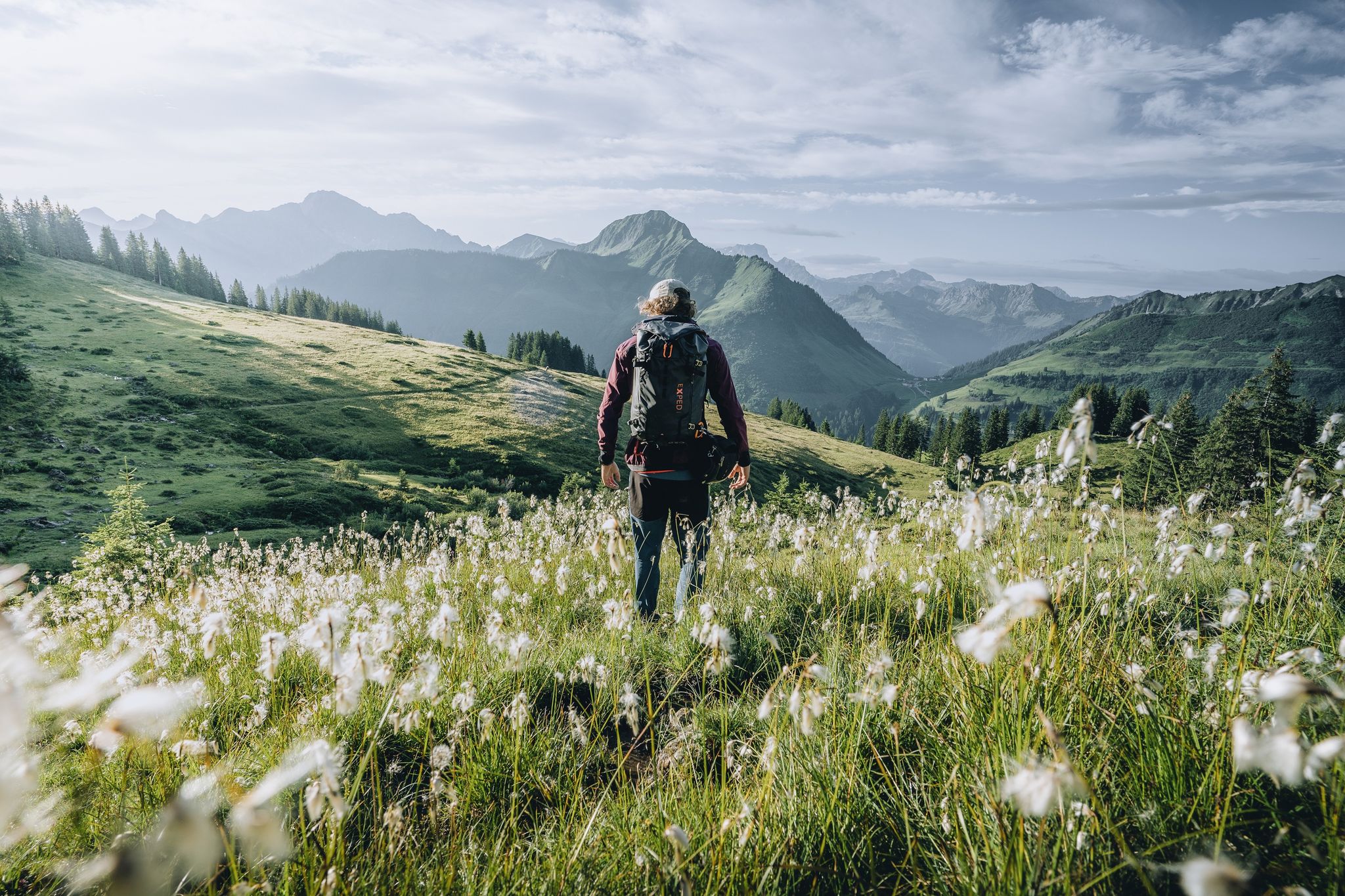
Bus station hiking trails around Sibratsgfäll are set in a picturesque village at 930 meters elevation, nestled in a quiet valley within Austria's Bregenz district. The area is encircled by mountains such as the Gottesackerwände, Hoher Ifen, Diedamskopf, and Winterstaude. This region, part of the Nagelfluhkette Nature Park, features green meadows, wooded valleys, and alpine pastures. The terrain includes diverse trails, from gentle paths to more challenging mountain ascents.
Best bus station hiking trails around Sibratsgfäll
- The most popular bus…
Last updated: June 27, 2026
4.7
(130)
532
hikers
9.38km
03:12
480m
480m
Moderate hike. Good fitness required. Easily-accessible paths. Suitable for all skill levels.
4.6
(28)
127
hikers
3.26km
00:58
100m
100m
Easy hike. Great for any fitness level. Easily-accessible paths. Suitable for all skill levels.

Sign up for free
4.7
(26)
62
hikers
13.1km
03:52
390m
390m
Moderate hike. Good fitness required. Easily-accessible paths. Suitable for all skill levels.
4.7
(18)
105
hikers
5.48km
02:05
370m
370m
Moderate hike. Good fitness required. Easily-accessible paths. Suitable for all skill levels.
4.8
(13)
43
hikers
21.4km
06:41
800m
800m
Hard hike. Very good fitness required. Easily-accessible paths. Suitable for all skill levels.
Get access to more routes and recommendations from other explorers.
Sign up for free
Already have an account?
Our route recommendations are based on thousands of hikes, rides, and runs completed by other people on komoot.
Start today with a free account
Your next adventure awaits.
Login or Signup

Other adventures around Sibratsgfäll


Tips from the Community

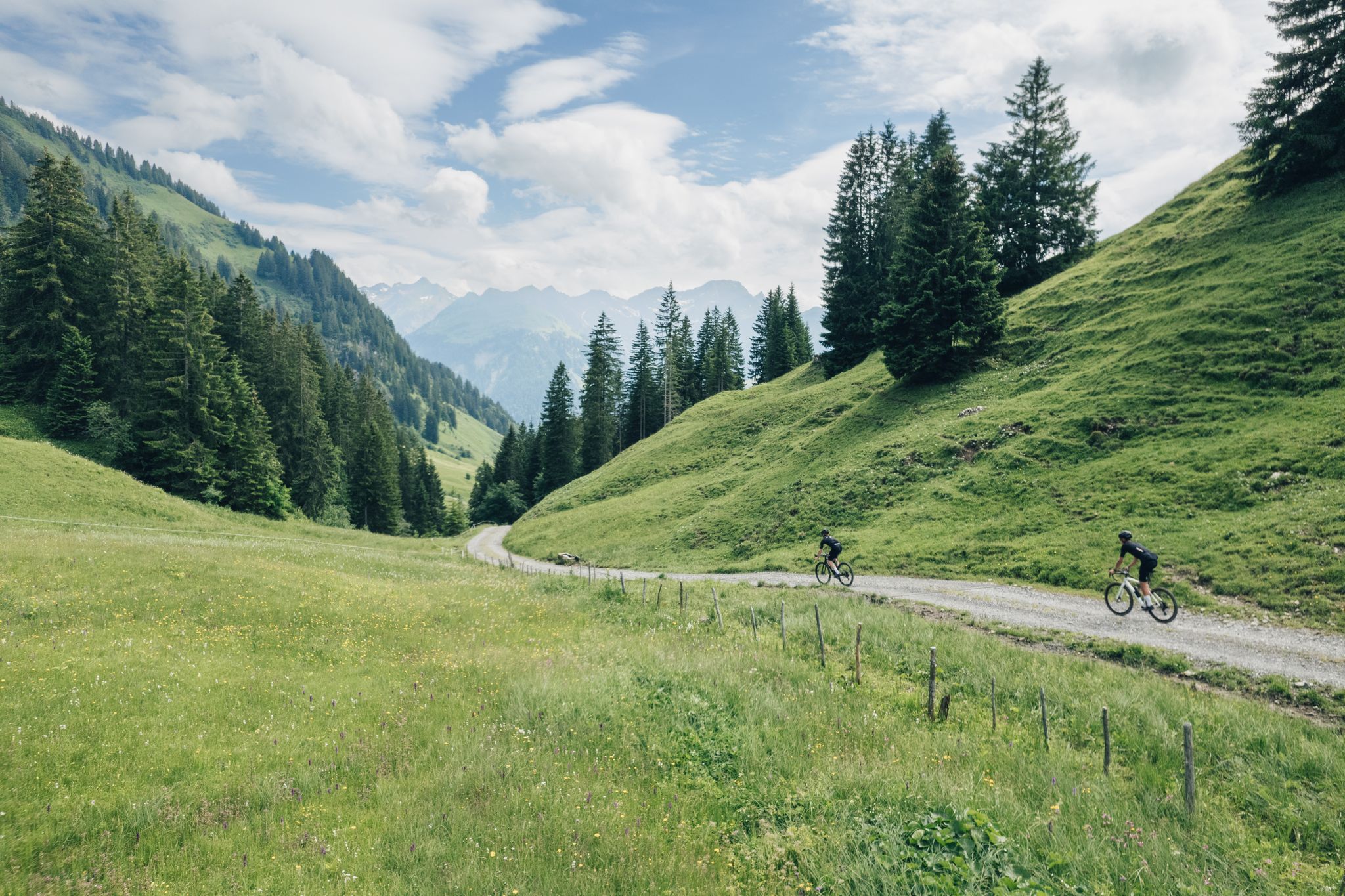
Around Sibratsgfäll great gravel routes !
2
0

The bridge is very risky, I don't know if everyone dares to cross it
0
0

Great viewpoint that is easily accessible.
2
0
Easily accessible summit with great views.
5
0

It's just beautiful here 🤗
0
0
It's just beautiful here 🤗
0
0

Super great view, very nice paths for hiking
0
0

Even though there are parking spaces on the plateau, LEAVE YOUR VEHICLE PARK! Bus line 831 runs from Bezau bus station up and down here every hour, comfortably and toll-free. It couldn't be more convenient!
1
0
Frequently Asked Questions
How many bus-accessible hiking trails are available around Sibratsgfäll?
There are over 20 hiking routes around Sibratsgfäll that are easily accessible from bus stations. These trails offer a variety of experiences, from leisurely strolls to more challenging mountain ascents, all starting conveniently close to public transport stops.
What is the typical difficulty level of hikes starting from Sibratsgfäll bus stops?
The trails around Sibratsgfäll cater to a wide range of abilities. You'll find 11 easy routes perfect for a relaxed outing, 10 moderate trails for those seeking a bit more challenge, and 1 difficult route for experienced hikers looking for a demanding adventure. This variety ensures there's something for everyone.
Are there family-friendly hiking options accessible by bus in Sibratsgfäll?
Yes, Sibratsgfäll offers several excellent family-friendly hikes. A great option is the Sibratsgfäll – Tobel Circular Trail, which provides an engaging experience through a continuous forest with interactive stations like "Quellwasser" (Spring Water) and "Baumklang" (Tree Sound). Many of the 11 easy routes are also suitable for families.
What kind of natural attractions can I expect to see on these bus-accessible trails?
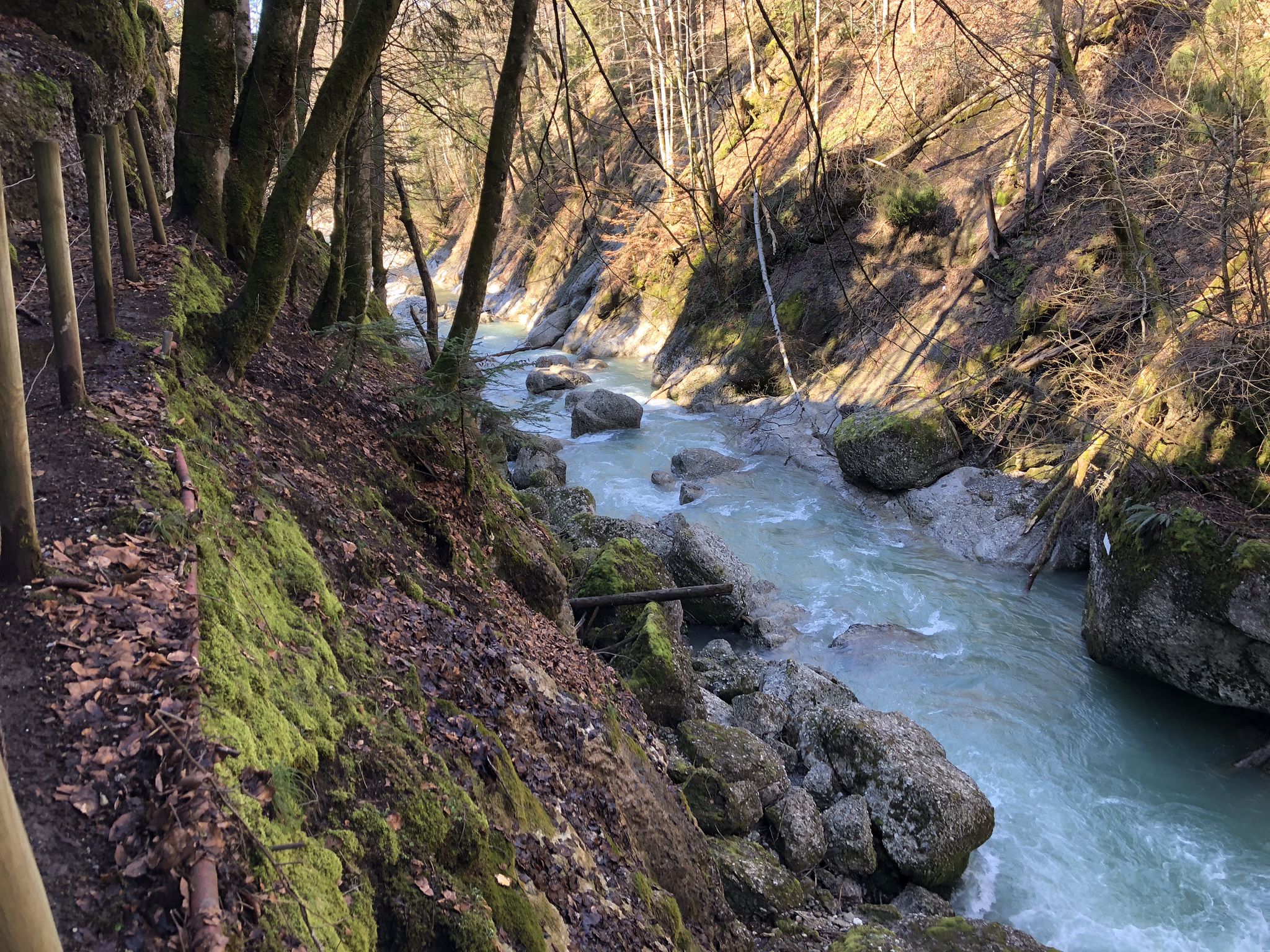
Sibratsgfäll is rich in natural beauty. You can explore the unique landscape of the Nagelfluhkette Nature Park. Trails often lead through green meadows, past majestic mountains, and into wooded valleys. Keep an eye out for highlights like the Buchenegger Waterfalls or the impressive Natural Bridge Over the Schwarzwasserbach, both accessible via nearby routes.
Are there any circular hiking routes that start and end at a bus station?
Absolutely! Many of the trails are designed as circular routes for convenience. For instance, the Sibratsgfäll – Tobel Circular Trail is a perfect example, allowing you to return to your starting point without needing additional transport. Another option is the Krähenberg Chapel – Subersach Gorge Waterfall loop, offering a longer circular journey.
When is the best time of year to go hiking in Sibratsgfäll?
The best time for hiking in Sibratsgfäll is generally from late spring to early autumn (May to October). June is particularly beautiful for witnessing alpine rose blossoms on higher trails like those leading to Burgl Hut. The summer months offer lush green landscapes and pleasant temperatures, while autumn brings stunning fall colors. Always check local weather conditions before heading out.
Can I bring my dog on the hiking trails around Sibratsgfäll?
Many trails in the Sibratsgfäll region are dog-friendly, allowing you to enjoy the beautiful scenery with your canine companion. However, it's always recommended to keep your dog on a leash, especially in nature protection areas, near livestock, or in crowded sections. Please also remember to clean up after your pet.
What are some notable viewpoints or panoramic spots accessible from bus stations?
Sibratsgfäll is surrounded by majestic mountains, offering numerous stunning viewpoints. The sunset hike to the Renkknie is particularly renowned for its panoramic views, especially of the Balderschwangertal to the north. Higher elevations like the Ifenmulde High Valley also provide breathtaking vistas.
Are there any unique geological features or landmarks to explore?
Yes, the region offers fascinating geological insights. The Moor Trail near the village entrance leads to an idyllic natural moor with moor baths and a Kneipp area. Additionally, the Georunde Rindberg cultural and natural trail highlights the impact of a past mountain ridge landslide, featuring unique sights like "Felber's Wonky House" which slid 18 meters downhill.
What do other hikers say about the bus-accessible trails in Sibratsgfäll?
The bus-accessible trails around Sibratsgfäll are highly rated by the komoot community, with an average score of 4.6 stars. Hikers frequently praise the diverse natural features, the well-maintained paths, and the convenience of starting directly from public transport stops. Many appreciate the serene backdrop of green meadows and majestic mountains.
Are there any longer or more challenging routes for experienced hikers?
For experienced hikers seeking a greater challenge, the region offers more demanding routes. The Sibratsgfäll – Subersach Gorge Waterfall loop is a difficult, longer option that takes you through varied terrain and offers significant elevation changes, providing a rewarding experience for those looking for an extensive day hike.
Most popular routes around Sibratsgfäll
Most popular attractions around Sibratsgfäll

Get inspired with the komoot mobile app


Explore more
Browse the best Hikes in other regions.
