The best hikes from bus stations around Turnau
4.5
(2325)
19,843
hikers
38
hikes
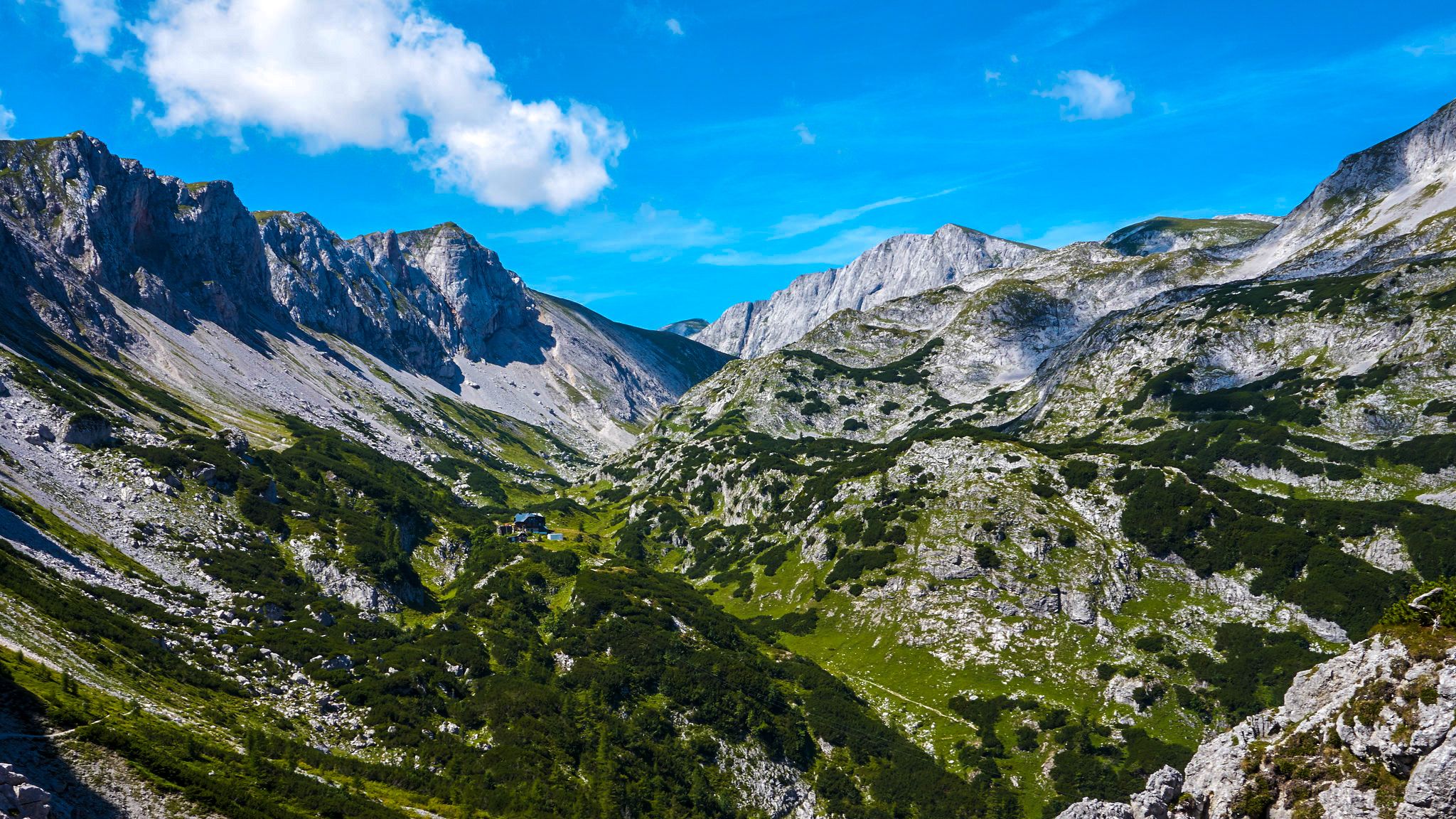
Hiking around Turnau, nestled in the Vienna Alps, presents a varied landscape characterized by rolling hills, lush meadows, and dense forests. The region features picturesque valleys like the Mürz, alongside more challenging mountain massifs such as the Hohe Veitsch and Hochschwab. This area provides a range of physical features suitable for different hiking experiences.
Best bus station hiking trails around Turnau
- The most popular bus station hiking route is Karlkögerl – Göriacher Alm loop from Seebergsattel, a 6.4 miles…
Last updated: June 27, 2026
4.6
(25)
191
hikers
10.2km
03:24
480m
480m
Moderate hike. Good fitness required. Easily-accessible paths. Suitable for all skill levels.
4.9
(9)
77
hikers
25.4km
11:14
1,540m
1,540m
Hard hike. Very good fitness required. Sure-footedness, sturdy shoes and alpine experience required.

Sign up for free
4.7
(22)
87
hikers
9.74km
02:58
330m
330m
Moderate hike. Good fitness required. Easily-accessible paths. Suitable for all skill levels.
5.0
(1)
30
hikers
14.6km
05:26
900m
900m
Hard hike. Very good fitness required. Mostly accessible paths. Sure-footedness required.
5.0
(1)
26
hikers
19.6km
08:38
1,190m
1,190m
Hard hike. Very good fitness required. Sure-footedness, sturdy shoes and alpine experience required.
Get access to more routes and recommendations from other explorers.
Sign up for free
Already have an account?
Our route recommendations are based on thousands of hikes, rides, and runs completed by other people on komoot.
Start today with a free account
Your next adventure awaits.
Login or Signup

Other adventures around Turnau


Tips from the Community

is on the way from Seewiesen to Franzosenkreuz
0
0
scenically beautiful section before the fork
0
0
shortly before the Voitstaler Hütte
0
0
The ibexes are lying in the middle of the hiking trail
0
0
nice, rustic hut with the same landlord
0
0

Highland cattle are being seen more and more frequently in the area.
3
0

You can stop here for a quick bite. I would eat at the Osteralm beforehand.
0
0
This is an ideal starting point for a multi-day Veitsch tour. Check out my tours.
0
0
Frequently Asked Questions
How many bus station hiking trails are available around Turnau?
There are over 35 hiking trails around Turnau that are easily accessible from bus stations, offering a wide range of experiences for all skill levels. These include 13 easy, 16 moderate, and 10 difficult routes.
What is the best time of year to go hiking from bus stations in Turnau?
The best seasons for hiking in Turnau are spring, summer, and autumn. During these times, nature is in full splendor, offering optimal conditions for outdoor pursuits. The region's tranquility and seclusion are particularly enjoyable when the weather is mild.
Are there easy hiking trails accessible by bus in Turnau?
Yes, Turnau offers several easy hiking trails accessible by bus. For example, the region features well-marked, family-friendly routes like the one leading to the "Kaskaden" waterfall. Many trails are suitable for leisurely walks along the Mürz valley or around serene lakes like the Schüsserlbrunnsee.
Can I find circular hiking routes that start and end at a bus station in Turnau?
Absolutely. Many routes in Turnau are designed as loops, allowing you to start and finish at the same point, often conveniently located near a bus stop. An example is the Turnau Town Square – View of Turnau loop from Turnau, which offers a moderate hike starting directly from Turnau.
Are there any hikes from bus stations in Turnau that feature waterfalls or gorges?
Yes, the Turnau region is known for its impressive natural water features. The "Kaskaden" waterfall is a rewarding destination for a well-marked, family-friendly route. For a more challenging adventure, the Bärenschützklamm is an impressive gorge featuring a thundering waterfall, steep rock faces, and bubbling waters, though access to the gorge itself might require a short walk from the nearest bus stop.
What kind of natural features and landscapes can I expect on bus-accessible hikes in Turnau?
Hikes around Turnau accessible by bus offer a diverse range of landscapes. You can expect to traverse rolling hills, lush green meadows, dense forests, and picturesque valleys along the Mürz river. Some routes also provide breathtaking views of mountain massifs like the Hohe Veitsch and Hochschwab, and you might encounter idyllic lakes such as the Schüsserlbrunnsee.
Are there family-friendly hiking trails accessible by bus in Turnau?
Yes, Turnau is an excellent destination for family-friendly hikes accessible by bus. Many trails are well-marked and suitable for families with children, offering gentle gradients and engaging natural surroundings. The route to the "Kaskaden" waterfall is a popular choice for families.
Are dogs allowed on the hiking trails around Turnau that are accessible by bus?
Generally, dogs are welcome on hiking trails in the Turnau region, provided they are kept on a leash and owners adhere to local regulations, especially in nature protection areas or near grazing livestock. Always check specific trail signs for any restrictions. Remember to bring water for your dog, especially on longer routes.
What do other hikers enjoy the most about hiking in Turnau?
The Turnau region is highly rated by the komoot community, with an average score of 4.56 stars. Reviewers often praise the diverse landscapes, from serene valleys to challenging mountain views, and the tranquility that allows for a true escape from everyday stresses. The accessibility of trails via public transport is also frequently highlighted as a major benefit.
Are there any challenging mountain hikes accessible by bus in Turnau?
For experienced hikers seeking a challenge, Turnau offers demanding mountain climbs accessible by bus. Routes like the Turnau Town Square – Hochanger Summit loop from Turnau provide significant elevation gain and panoramic views. The region also connects to extensive mountain routes in the Hochschwab massif, some requiring endurance and alpine experience.
What landmarks or viewpoints can I discover on bus-accessible hikes in Turnau?
On bus-accessible hikes around Turnau, you can discover various landmarks and enjoy stunning viewpoints. Highlights include the Hochschwab Summit, the Hohe Veitsch summit cross, and the Fölzstein Summit Cross, all offering spectacular panoramic views. You might also pass by the Häuslalm Mountain Hut, a great spot for a break.
Are there any long-distance hiking trails in Turnau that can be accessed from a bus station?
Yes, Turnau is a significant point for long-distance hikers. The region features sections of the North-South Trail and the Northern Alpine Trail. It also connects to routes like the Carinthian Mariazellerweg. You can access these extensive networks from various bus stations, allowing for multi-day adventures or shorter sections.
Most popular routes around Turnau
Most popular attractions around Turnau

Get inspired with the komoot mobile app


Explore more
Browse the best Hikes in other regions.
