The best hikes from bus stations around Martigny
4.6
(6586)
75,383
hikers
154
hikes
Bus station hiking trails around Martigny are located in the canton of Valais, Switzerland, offering diverse landscapes for outdoor activities. The region is characterized by the expansive Rhône Valley, with views extending towards the Mont Blanc massif. Deep gorges carved by glacial meltwater, such as the Trient Gorge, and terraced vineyards define much of the terrain. This area provides a mix of alpine environments and valley walks.
Best bus station hiking trails around Martigny
- The most popular bus station hiking…
Last updated: October 10, 2026
4.6
(83)
613
hikers
9.93km
03:10
400m
400m
Moderate hike. Good fitness required. Easily-accessible paths. Suitable for all skill levels.
4.6
(72)
597
hikers
9.59km
03:11
470m
470m
Moderate hike. Good fitness required. Easily-accessible paths. Suitable for all skill levels.

4.8
(42)
604
hikers
7.44km
02:12
170m
170m
Moderate hike. Good fitness required. Mostly accessible paths. Sure-footedness required.
4.8
(19)
254
hikers
8.04km
02:45
380m
370m
Moderate hike. Good fitness required. Mostly accessible paths. Sure-footedness required.
4.5
(20)
122
hikers
2.61km
01:19
240m
240m
Moderate hike. Great for any fitness level. Mostly accessible paths. Sure-footedness required.
Get access to more routes and recommendations from other explorers.
Already have an account?
Our route recommendations are based on thousands of hikes, rides, and runs completed by other people on komoot.
Start today with a free account
Your next adventure awaits.
Popular around Martigny

Hikes from bus stations in Forêt Des Champs
Hikes from bus stations around Lac des Vaux

Hikes from bus stations around Lac Supérieur de Fully
Walker's Haute Route – The ultimate alpine adventure

Alpine Passes Trail in Switzerland – 34 stages of pure mountain fun
The sacred waters of the Valais - Le Chemin des Bisses
Endless mountain panoramas – themed hikes in Switzerland’s Valais
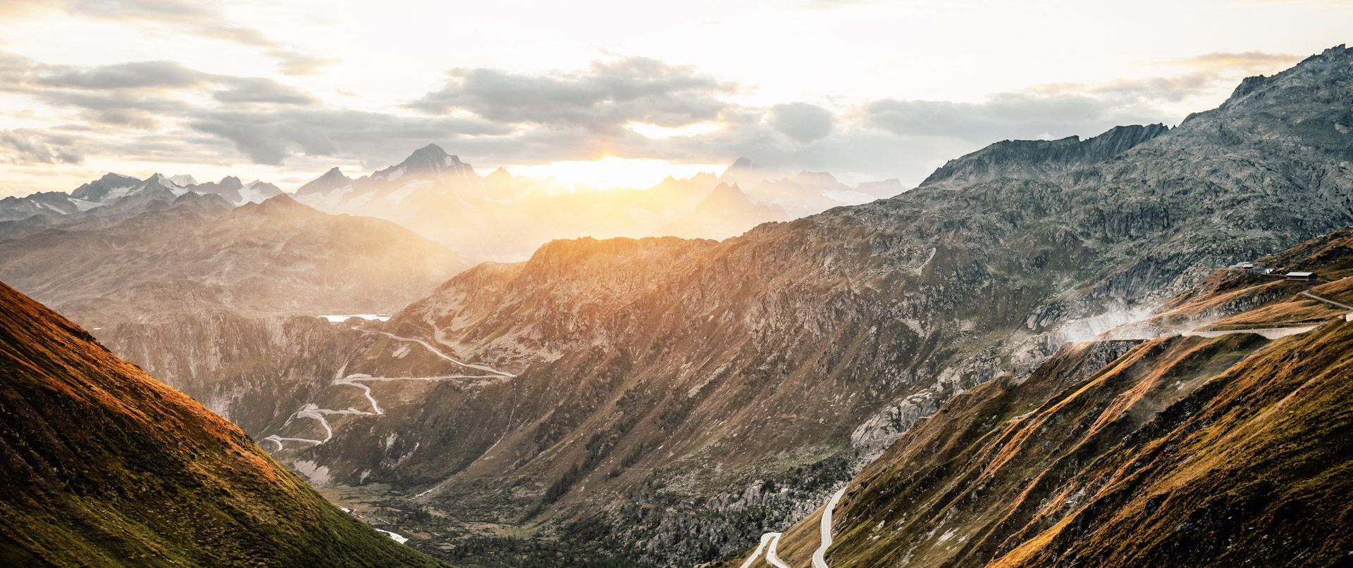
The Rhone Route – from glaciers to Lake Geneva
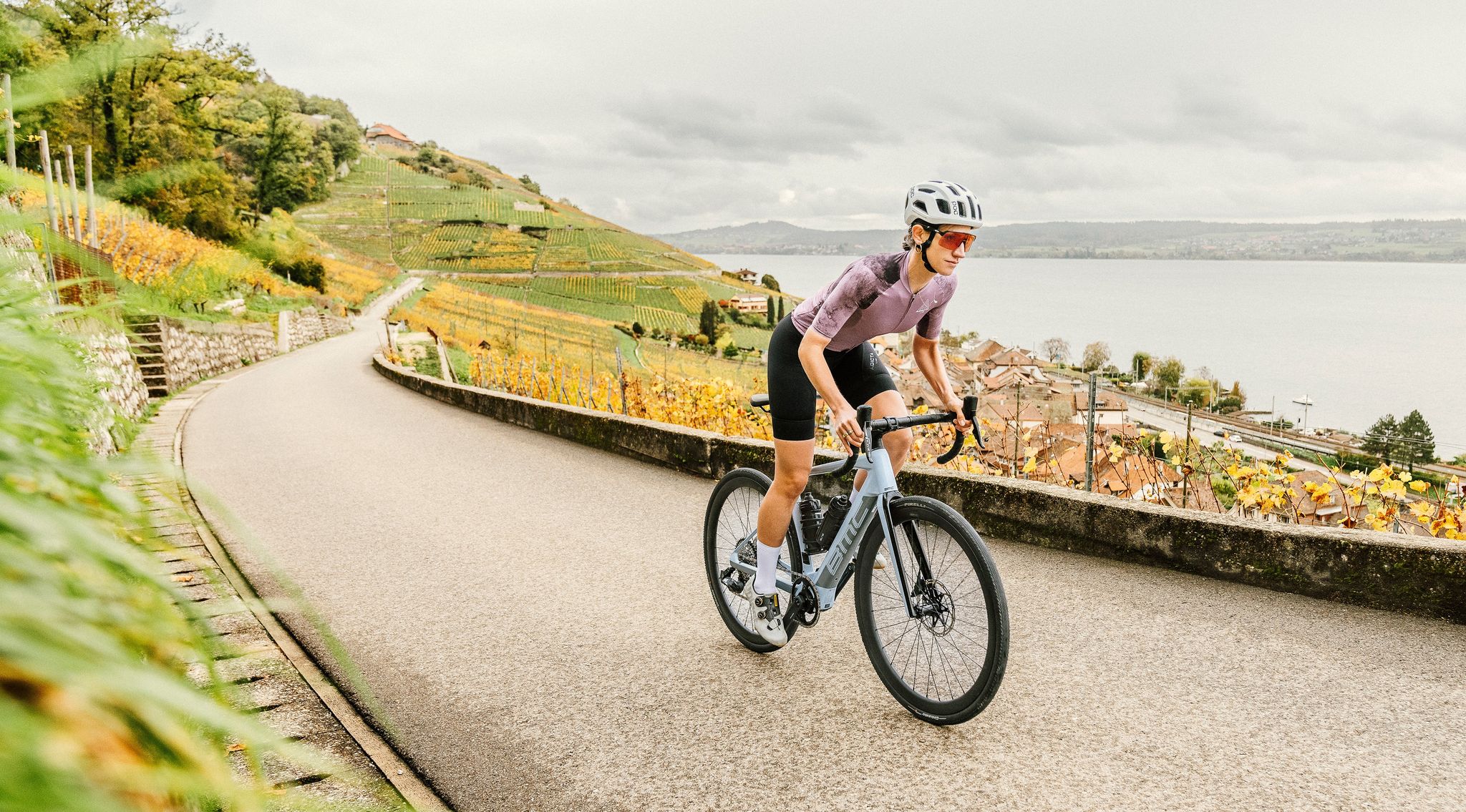
100% Women: on smooth asphalt above the clouds
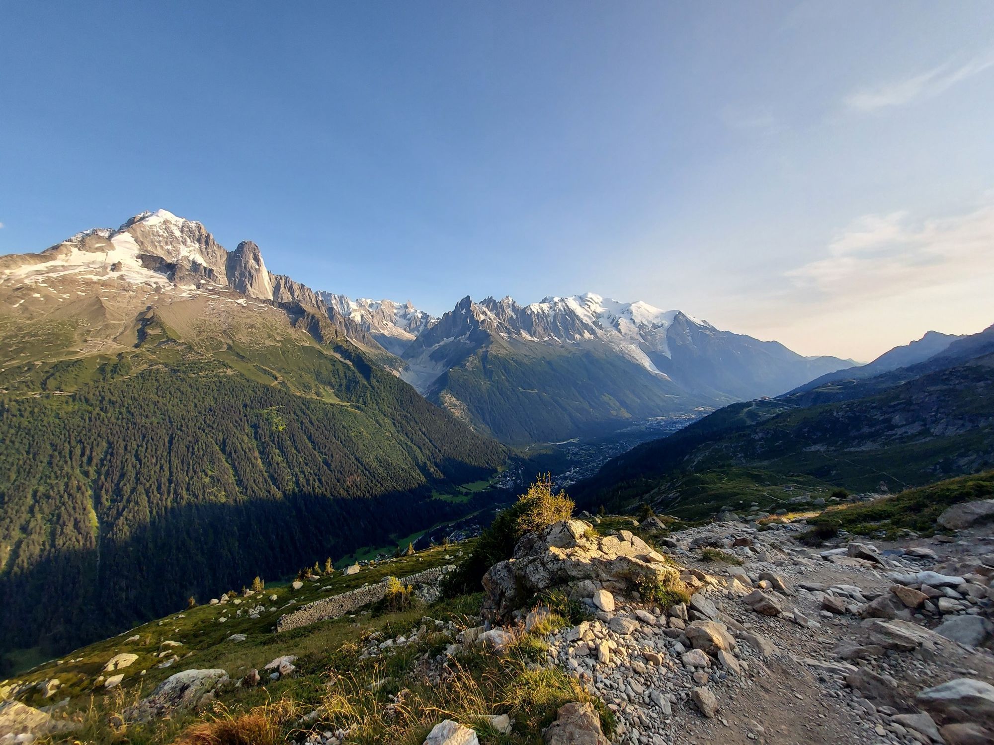
Three days, three countries – running the iconic CCC
Other adventures around Martigny


Tips from the Community

Spectacular suspension bridge, at lofty heights
0
0

Magnificent view and thrilling climb in the tower
0
0
Beautiful place, very well designed mountain refreshment bar, welcoming staff, good food!
1
0

Beautiful flower meadows. Lots of yellow gentian plants. Nice hosts. Delicious homemade blueberry cake
1
0

Very high suspension bridge, you should not be afraid of heights.
1
0
Very high suspension bridge, it holds...
2
1
Frequently Asked Questions
How many bus station hiking trails are available around Martigny?
There are over 150 hiking routes accessible from bus stations around Martigny, offering a wide range of options for all skill levels. This includes approximately 40 difficult, 70 moderate, and 40 easy trails.
Are there any family-friendly hikes accessible by bus in Martigny?
Yes, Martigny offers several family-friendly trails accessible by bus. The region is known for its gentle walks and trails suitable for most hikers. For example, the Sentier des Adonis is a 7-kilometer family-friendly trail, perfect for observing wildflowers in spring. While specific bus-accessible family routes aren't detailed here, many of the easy and moderate trails are suitable for families.
Can I find circular hiking routes starting from bus stations?
Absolutely. Many routes around Martigny are designed as loops, allowing you to start and end at the same bus station. An example of a moderate circular route is the View of Leytron – Saillon Old Town loop from Leytron, covering about 10 kilometers. Another option is the Col de la Forclaz (Valais) – Bisse du Trient loop from Trient, which is around 7.4 kilometers.
Are there any hikes that feature waterfalls or gorges accessible by bus?
Yes, the Martigny region is rich in dramatic gorges and waterfalls. You can explore the Gorges du Durnand Waterfalls, known for its impressive cascades and wooden footbridges. Another option is the Tête-Noire Tunnel – Gorges de la Vièze Waterfall loop from Finhaut, which is a moderate 2.6 km hike. The Pissevache Waterfall and Trient Gorge are also notable natural features in the area.
What kind of natural features or viewpoints can I expect on these bus-accessible trails?
The trails offer diverse scenery, from the expansive views over the Rhône Valley and vineyard terraces to glimpses of the Mont Blanc Massif. Many routes provide stunning panoramas. The Col de la Forclaz (Valais) is a popular starting point for hikes with extensive views. You might also encounter the vibrant adonis flowers blooming between March and May on specific trails.
Are there any dog-friendly trails accessible by bus around Martigny?
Many hiking trails in the Martigny region are dog-friendly, allowing you to enjoy the outdoors with your canine companion. It's always recommended to keep dogs on a leash, especially in nature reserves or near livestock. While specific dog-friendly bus routes aren't listed, the general accessibility of trails by public transport means many options are available for you and your dog.
What is the best time of year to hike these bus-accessible trails?
The Martigny region offers great hiking opportunities throughout the year. Spring (March-May) is ideal for seeing adonis flowers and lush landscapes. Summer provides warm weather for higher-altitude treks. Autumn is beautiful with changing foliage, especially along the vineyard trails like the Chemin du vignoble. Some lower-altitude trails may also be suitable for winter walks, depending on snow conditions.
What do other hikers enjoy most about hiking in Martigny?
The area is highly rated by the komoot community, with an average score of 4.63 stars from over 5,300 ratings. Reviewers often praise the diverse landscapes, from vineyard terraces to dramatic gorges, and the stunning panoramic views of the Rhône Valley and distant Alps. The excellent public transport connectivity to trailheads is also frequently highlighted.
Are there any historical landmarks or points of interest along the bus station hiking trails?
Yes, several trails pass by or lead to interesting landmarks. The medieval Batiaz Castle overlooks Martigny and offers 360-degree panoramic views. The Farinet Footbridge is another notable attraction spanning a deep ravine. You might also encounter traditional wine villages like Plan Cerisier with its charming chalets.
Can I combine a hike with a visit to a vineyard or wine-related experience?
Absolutely. The steep slopes above Martigny are covered in terraced vineyards, and many trails weave through them. The Chemin du vignoble (Wine Trail) is a 74-kilometer route that specifically winds through vineyards between Leuk and Martigny, offering beautiful scenery and opportunities to experience the region's wine culture. While this is a longer trail, sections of it are accessible by bus.
Most popular routes around Martigny
Most popular attractions around Martigny

Get inspired with the komoot mobile app


Didn’t find what you were looking for?
Check out more Hikes throughout Martigny below and find the perfect route in your destination.
Explore more
Browse the best Hikes in other regions.
