The best hikes from bus stations around Schröcken
4.6
(26192)
123,714
hikers
44
hikes
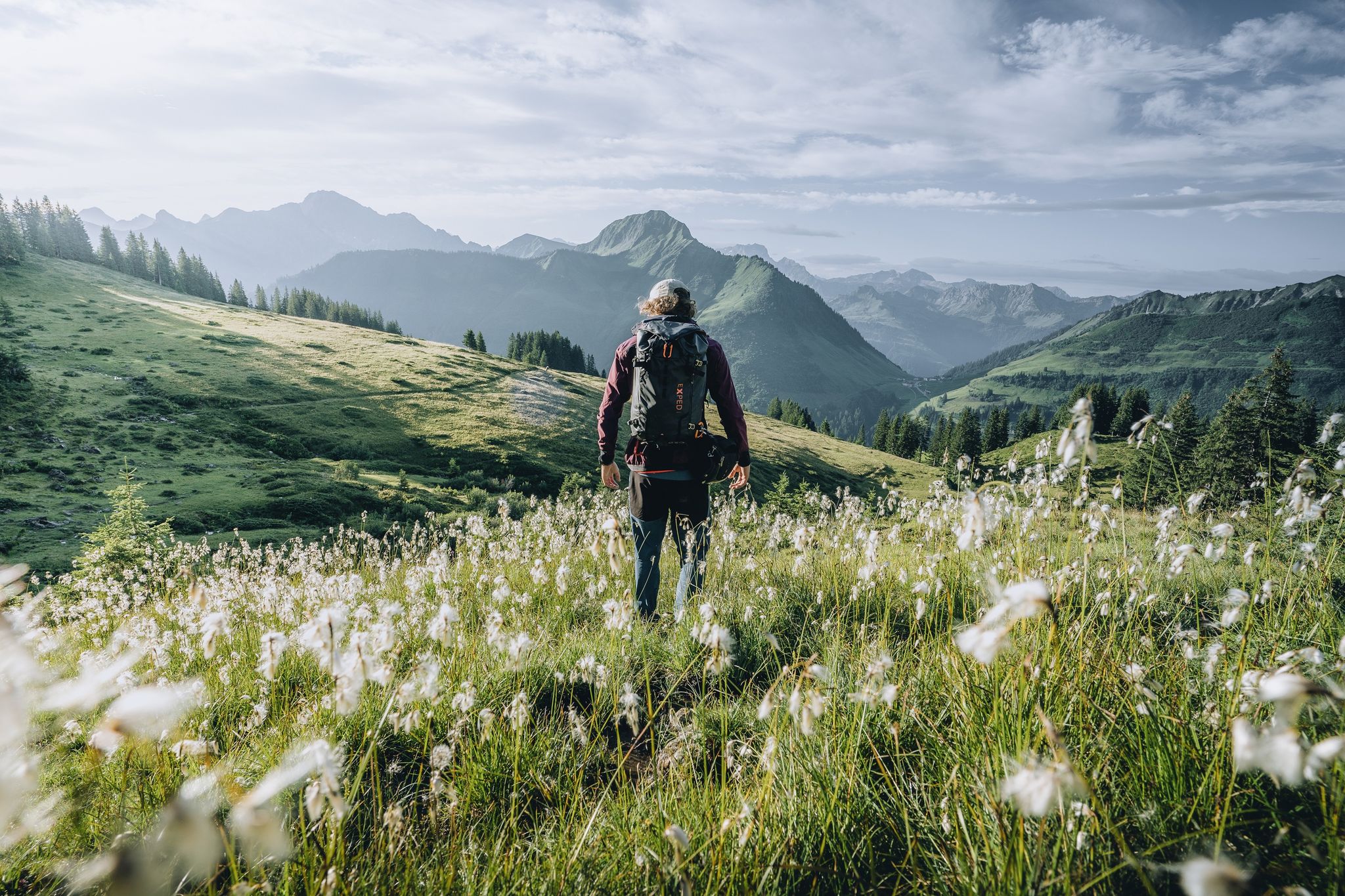
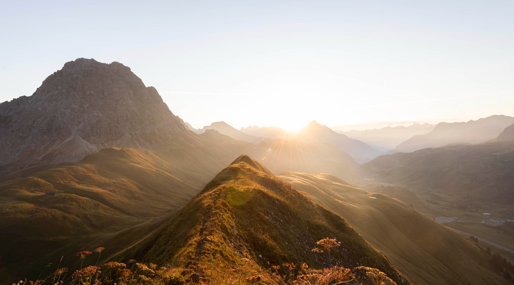
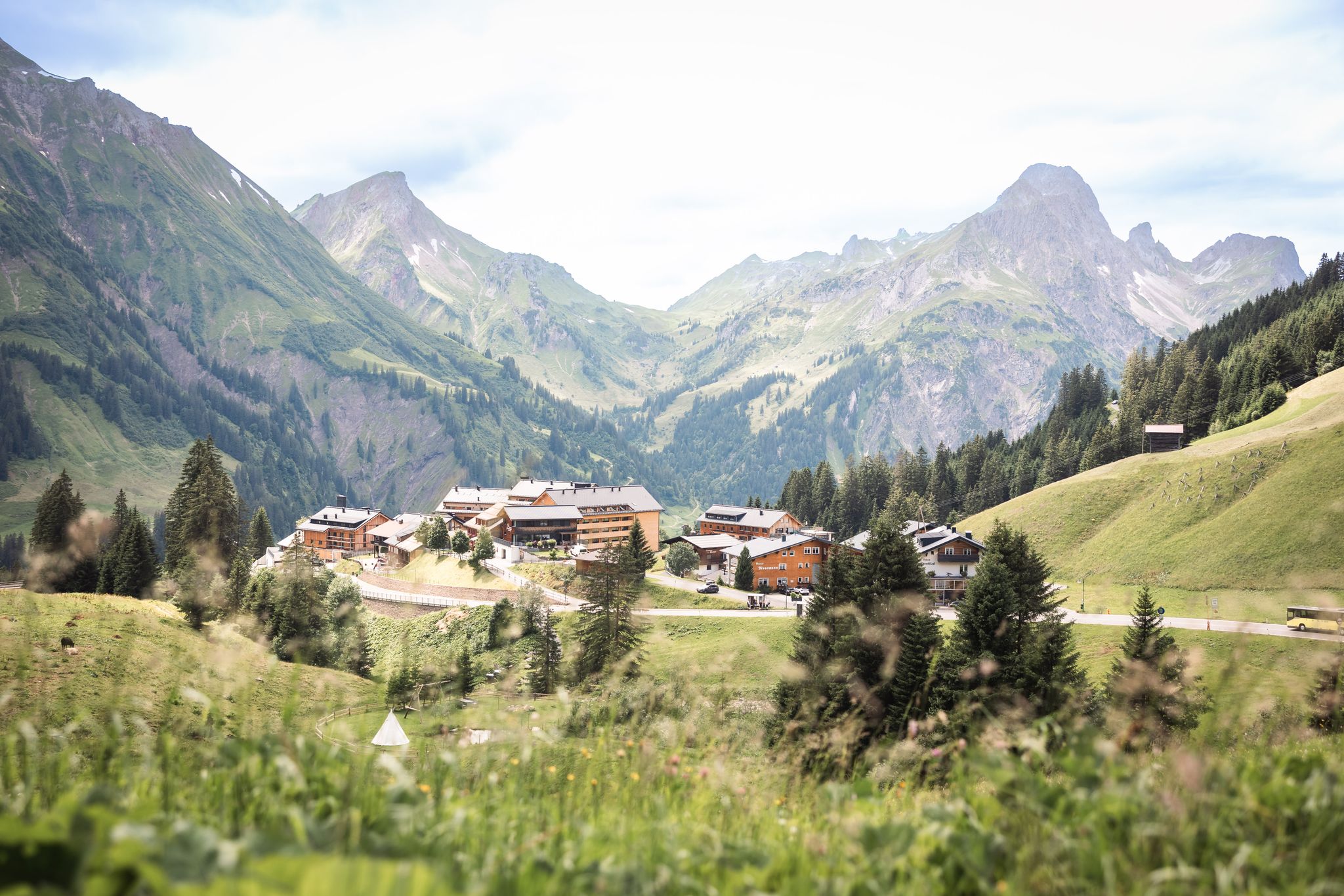
Bus station hiking trails around Schröcken are set within the diverse alpine landscapes of Vorarlberg, Austria. The region is characterized by majestic Allgäu, Lechtal, Bregenzerwald, and Lechquellen mountains, featuring lush alpine meadows, dense mountain forests, and an impressive cirque. Crystal-clear mountain lakes like Körbersee, Kalbelesee, and Butzensee are prominent features, alongside the untamed Lech River. Schröcken itself is a high-altitude settlement with elevations ranging from 1,150 meters to 1,660 meters.
Best bus station hiking trails around Schröcken
- The most popular…
Last updated: June 30, 2026
4.6
(30)
236
hikers
16.4km
10:49
1,370m
1,370m
Hard hike. Very good fitness required. Sure-footedness, sturdy shoes and alpine experience required.
4.9
(34)
197
hikers
16.2km
07:11
1,050m
1,040m
Hard hike. Very good fitness required. Sure-footedness, sturdy shoes and alpine experience required.

Sign up for free
5.0
(6)
20
hikers
11.2km
03:44
680m
110m
Moderate hike. Good fitness required. Mostly accessible paths. Sure-footedness required.
4.8
(38)
179
hikers
12.5km
05:22
780m
780m
Hard hike. Very good fitness required. Sure-footedness, sturdy shoes and alpine experience required.
4.7
(65)
319
hikers
10.5km
03:15
400m
400m
Moderate hike. Good fitness required. Easily-accessible paths. Suitable for all skill levels.
Get access to more routes and recommendations from other explorers.
Sign up for free
Already have an account?
Our route recommendations are based on thousands of hikes, rides, and runs completed by other people on komoot.
Start today with a free account
Your next adventure awaits.
Login or Signup
Other adventures around Schröcken


Tips from the Community

A comfortable bench with a breathtaking view of Lake Körber and the surrounding peaks – ideal for a longer panoramic break. Here you can sit down, enjoy the peace and quiet, and let the postcard-perfect scene work its magic right before your eyes. Perfect for a photo, a sip from your water bottle, and a few minutes of doing absolutely nothing.
6
0
Lake Körbersee lies idyllically nestled between alpine meadows and striking peaks, revealing itself in winter as a tranquil, snow-covered landscape. Instead of reflections in the water, snow, ice, and the surrounding white slopes dominate the scene. It's ideal for a peaceful winter hike with postcard-perfect panoramas and plenty of fresh mountain air.
5
0
From up here, Lake Körbersee lies at your feet, framed by lush alpine meadows and the surrounding peaks. On a calm day, the mountain scenery is reflected in the water, creating a picture-perfect postcard panorama. A perfect spot for a short break, a few photos, and a deep breath.
5
0
From here you have a wonderful view down onto the Kalbelesee, in which the surrounding slopes are reflected in the right light. Behind it, the striking Biberkopf (2,599 meters) rises above the valley, creating a truly high-alpine backdrop. A perfect panorama and photo stop on your tour at the Hochtannbergpass.
5
0
Lake Kalbele is idyllically situated on the Hochtannberg Pass and, in calm weather, reflects the surrounding peaks. A beautiful spot for a short break right by the road, ideal as a photo stop or starting point for hikes around Warth-Schröcken.
5
0

Easy route, but fun and very interesting from a landscape point of view
2
0

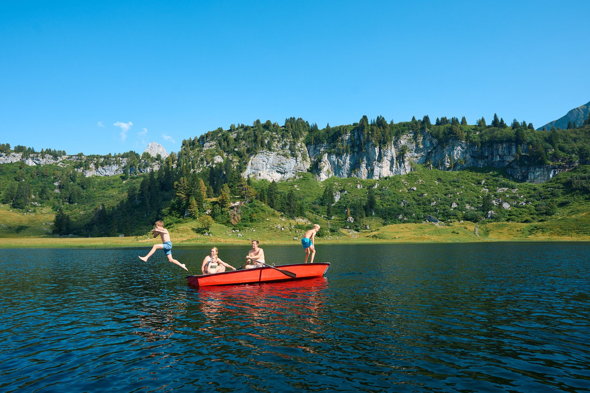
A wonderfully clear mountain lake that offers refreshment, especially on warm to hot hiking days. If you undertake the circular tour to the Braunarlspitze counter-clockwise, you can treat yourself to some cooling or simply a quiet moment of relaxation after several hours of hiking. The water is easily accessible from all sides, so you can spread out well and find your own quiet spot. The stones in the shore area are quite sharp. Those who want to dip more than just their feet in the water might therefore consider packing a pair of light "beach/swim shoes". The water is typically cold for a mountain lake, even on very hot summer days. However, I saw an "hardened" person swimming in it for 2 minutes.
1
0
An alpine hut located directly on the hiking trail, just two kilometers from Schröcken, with a very friendly hostess. A very welcome first stop at the end of a round tour to the Braunarlspitze or Mohnenfluh. There are various drinks and small snacks such as bacon or cheese bread, Landjäger (sausage) or a whole snack platter. You have a beautiful view into the valley and the surrounding area. The various free-roaming animals, such as particularly peculiar-looking chickens, rabbits, and guinea pigs, were a special eye-catcher during the break.
0
0
Frequently Asked Questions
How many bus-accessible hiking trails are there around Schröcken?
Schröcken offers a wide selection of bus-accessible hiking trails. You can explore over 40 routes that start conveniently from bus stations, catering to various skill levels.
Are there easy bus-accessible hikes suitable for beginners in Schröcken?
Yes, Schröcken has several easy bus-accessible hikes perfect for beginners. For a moderate option that offers stunning views without extreme difficulty, consider the View of Körbersee loop from Schröcken, which takes you to the picturesque Körbersee.
Can I find circular hiking routes starting from bus stops in Schröcken?
Absolutely. Many of the bus-accessible trails in Schröcken are designed as circular routes, allowing you to start and end your hike at the same bus stop. An excellent example is the Höferspitze – View of the Großer Widderstein loop from Schröcken, offering panoramic vistas.
What is the best season for bus station hikes in Schröcken?
The best seasons for hiking in Schröcken are spring, summer, and autumn. Each offers unique charm, from blossoming landscapes in spring, refreshing mountain air in summer, to vibrant foliage in autumn. Winter also offers opportunities for snowshoeing or winter walking, though specific bus routes might vary.
Are there any long-distance hiking options accessible from Schröcken bus stations?
Yes, the renowned Lechweg trail, which follows the wild Lech River, passes through the Schröcken region. While not a single bus-accessible route in itself, sections of this long-distance path can be accessed from various bus stops, allowing for diverse and unforgettable nature experiences.
Are the bus-accessible trails in Schröcken family-friendly?
Schröcken is very family-friendly. Beyond general trails, the region features engaging themed paths like the Murmele adventure trail, designed to entertain children. Many routes offer gentle gradients and opportunities for breaks at scenic spots or mountain huts.
What kind of scenic viewpoints can I expect on bus-accessible hikes in Schröcken?
Schröcken's bus-accessible hikes offer breathtaking views of the Allgäu, Lechtal, and Lechquellen mountains. You can expect vistas of prominent peaks like the Juppenspitze, Mohnenfluh, and Braunarlspitze. The Walmendingerhorn Viewing Platform is also a notable highlight in the wider region.
Are there any notable natural attractions or landmarks along these routes?
Absolutely. Many trails lead to stunning natural features. The picturesque Körbersee, once named Austria's most beautiful place, is a highlight. Other refreshing lakes like Kalbelesee and Butzensee are also accessible. You might also encounter the wild Lech River and various mountain peaks such as Walmendinger Horn.
Are dogs allowed on the bus-accessible hiking trails in Schröcken?
Generally, dogs are welcome on hiking trails in Schröcken, provided they are kept on a leash, especially in areas with grazing livestock or wildlife. It's always advisable to check specific trail regulations or local signage, but most paths are dog-friendly.
What do other hikers enjoy the most about hiking in Schröcken?
The area is highly rated by the komoot community, with an average score of 4.66 stars. Reviewers often praise the diverse and stunning alpine landscapes, the crystal-clear mountain lakes, and the well-maintained trails that cater to all abilities, making it a truly rewarding experience.
Are there mountain huts or cafes accessible from bus stops for refreshments?
Yes, the region has several mountain huts and cafes that can be reached from bus-accessible trails. These provide excellent opportunities for a break and refreshments. Notable huts include the Schwarzwasser Hut, Rear Gemstel Alp, and Bärgunt Hut, offering local delicacies and stunning views.
What should I wear for bus station hikes in Schröcken?
Given the alpine environment, it's essential to wear appropriate hiking gear. This includes sturdy hiking boots, layered clothing suitable for changing weather conditions, rain protection, and sun protection. Always carry enough water and snacks, and consider trekking poles for steeper sections.
Most popular routes around Schröcken
Most popular attractions around Schröcken

Get inspired with the komoot mobile app


Explore more
Browse the best Hikes in other regions.
