The best traffic-free bike rides around Mieming
4.2
(154)
6,647
riders
5
rides
Road cycling around Mieming offers diverse terrain across the sunny Mieming Plateau, situated at 800 to 1,000 meters above sea level. This elevated region features a mix of flat stretches, meadows, and forests, providing varied riding conditions. The plateau is encircled by the Mieminger Kette and Wetterstein Mountains, which contribute to both gentle gradients and more challenging alpine ascents. Riders can also enjoy views overlooking the Inn Valley during various routes.
Best no traffic road cycling routes around Mieming
- The…
Last updated: June 27, 2026
1.0
(1)
58
riders
19.7km
01:42
1,010m
1,010m
Hard road ride. Very good fitness required. Mostly well-paved surfaces and easy to ride.
4.5
(2)
60
riders
47.0km
02:56
1,230m
1,230m
Hard road ride. Very good fitness required. Mostly well-paved surfaces and easy to ride.

Sign up for free
30
riders
Moderate road ride. Good fitness required. Some segments of this route may be unpaved and difficult to ride.
4.3
(6)
71
riders
18.7km
00:52
190m
190m
Moderate road ride. Great for any fitness level. Some segments of this route may be unpaved and difficult to ride.
5.0
(1)
19
riders
Moderate road ride. Good fitness required. Mostly well-paved surfaces and easy to ride.
Our route recommendations are based on thousands of hikes, rides, and runs completed by other people on komoot.
Start today with a free account
Your next adventure awaits.
Login or Signup
Popular around Mieming
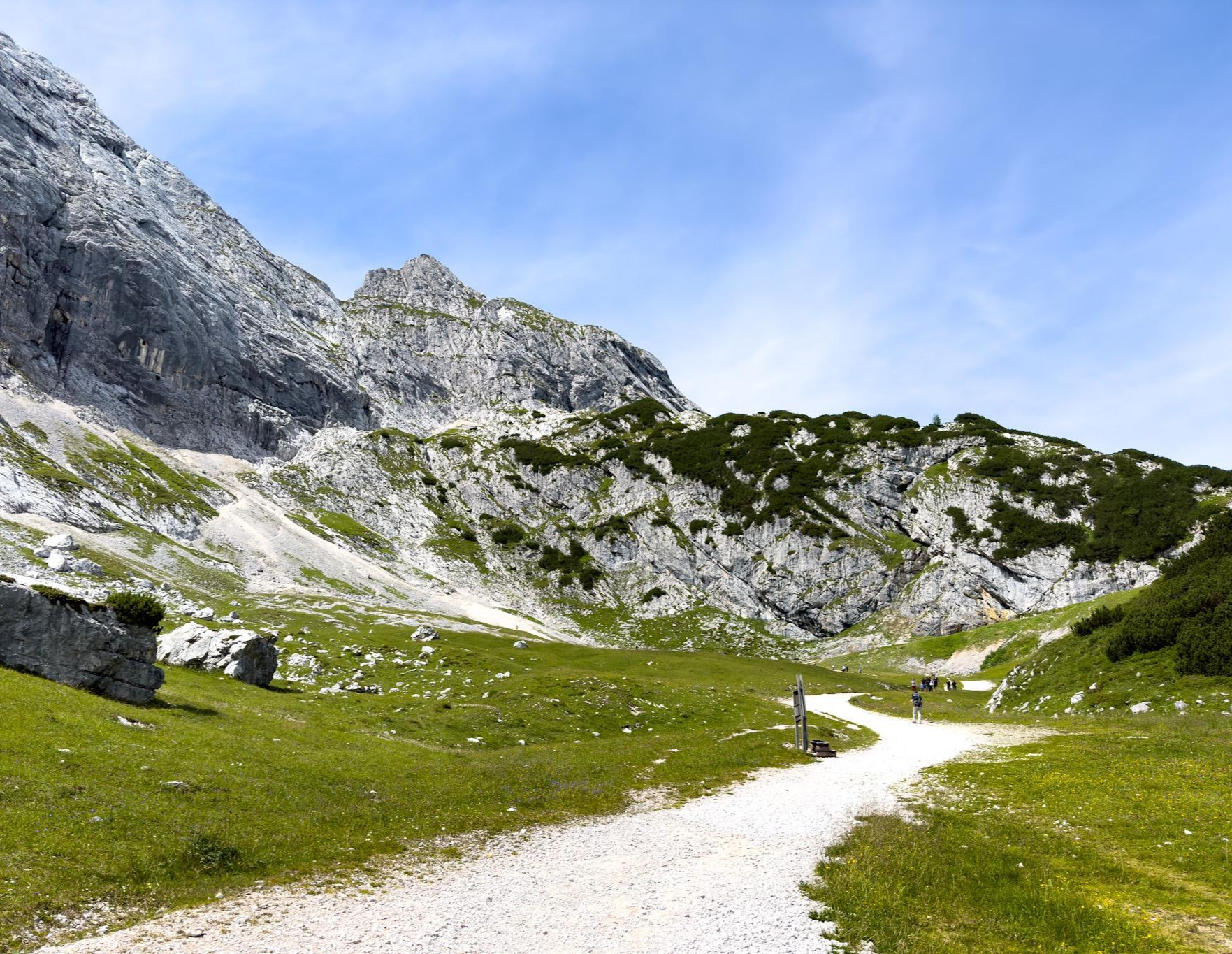
Zugspitz Ultratrail – experience Germany's highest mountain over 3 days

L1 from Garmisch to Brescia – Far from the classic Alpine crossings
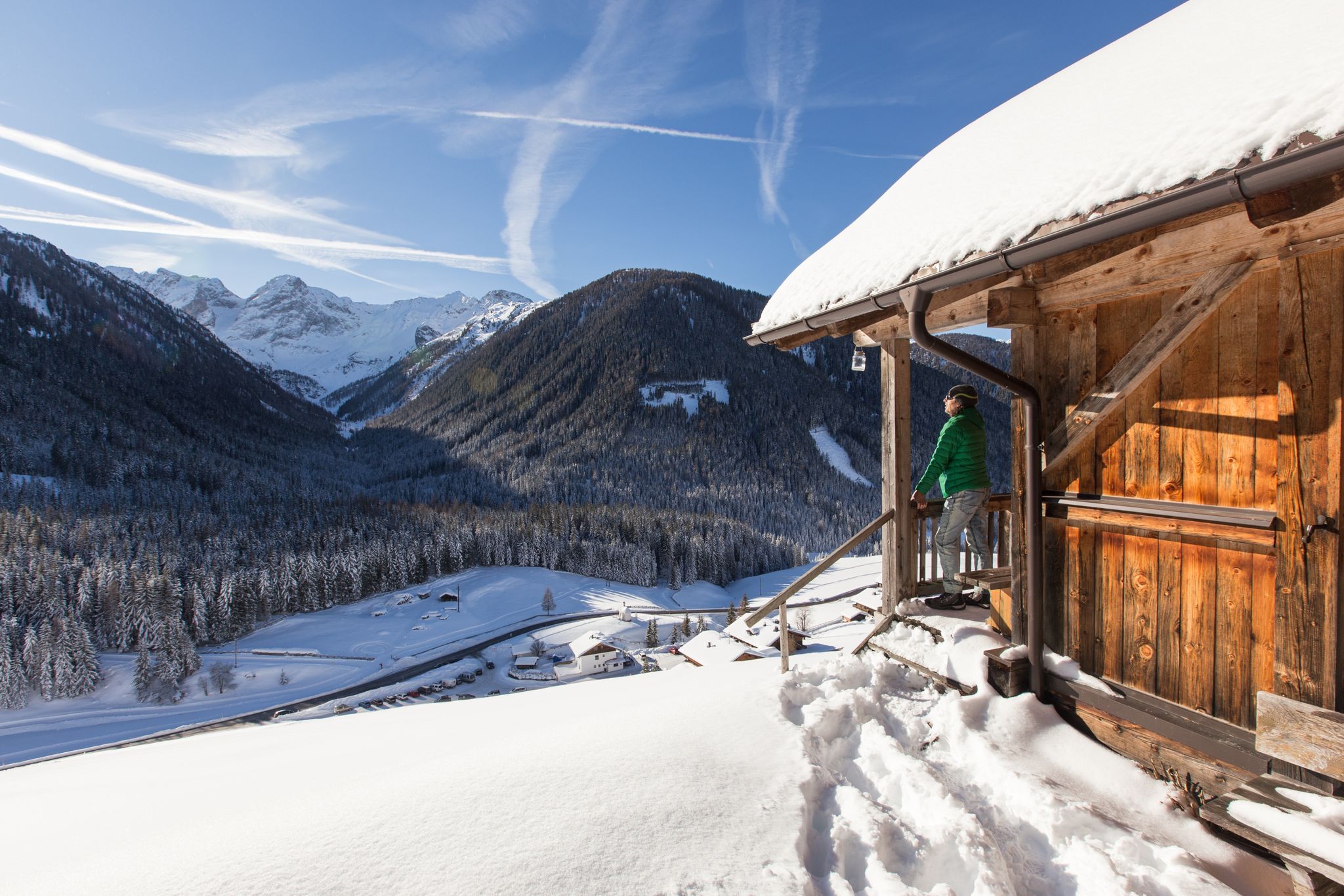
Winter highlights in Tyrol for everyone's taste
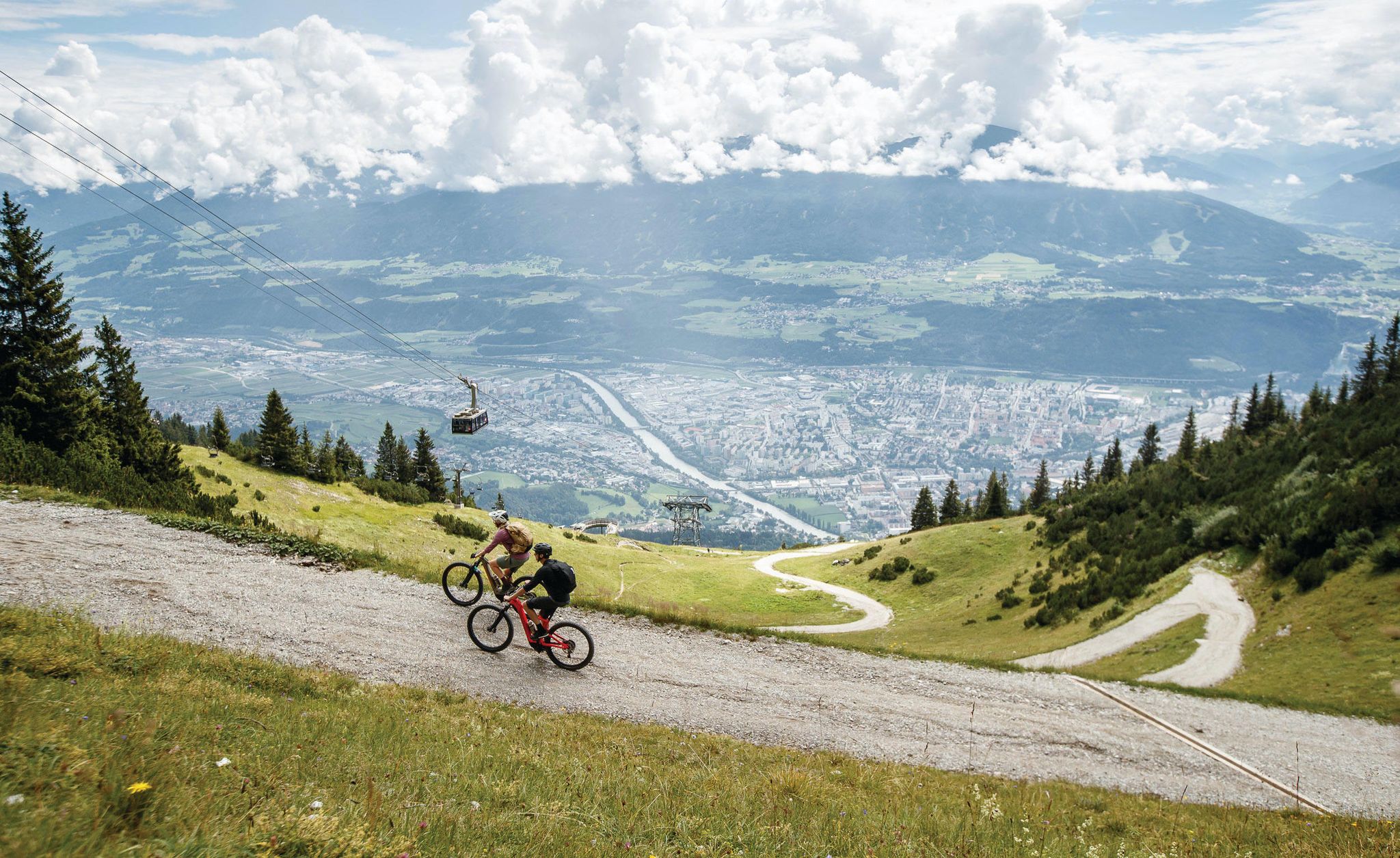
Get out of the city, get on the trail — welcome to Innsbruck!
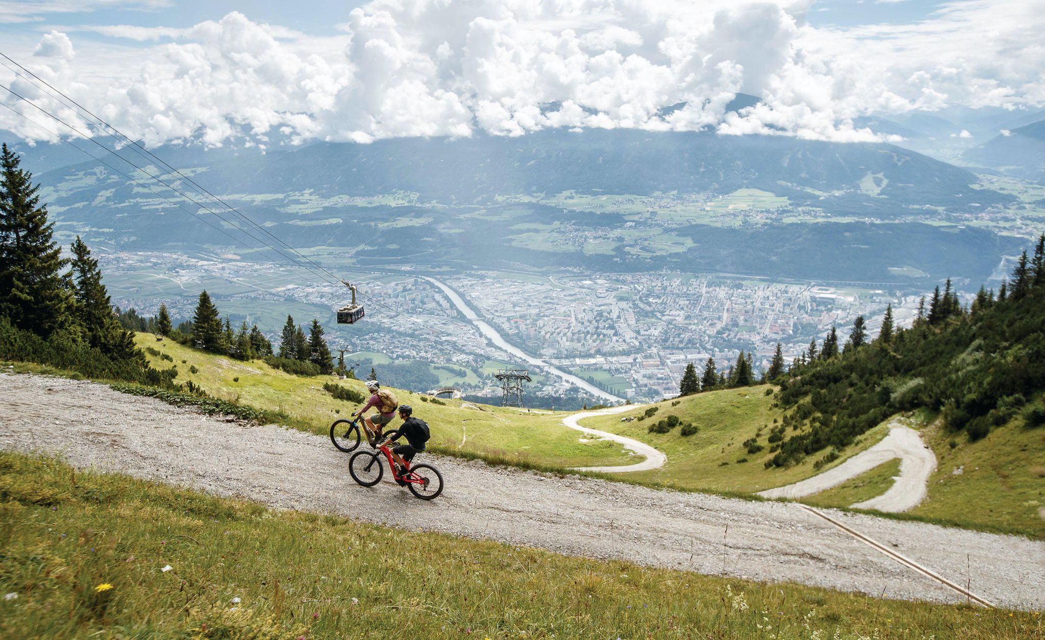
Dream trails as far as your tires will take you — biking in Innsbruck!
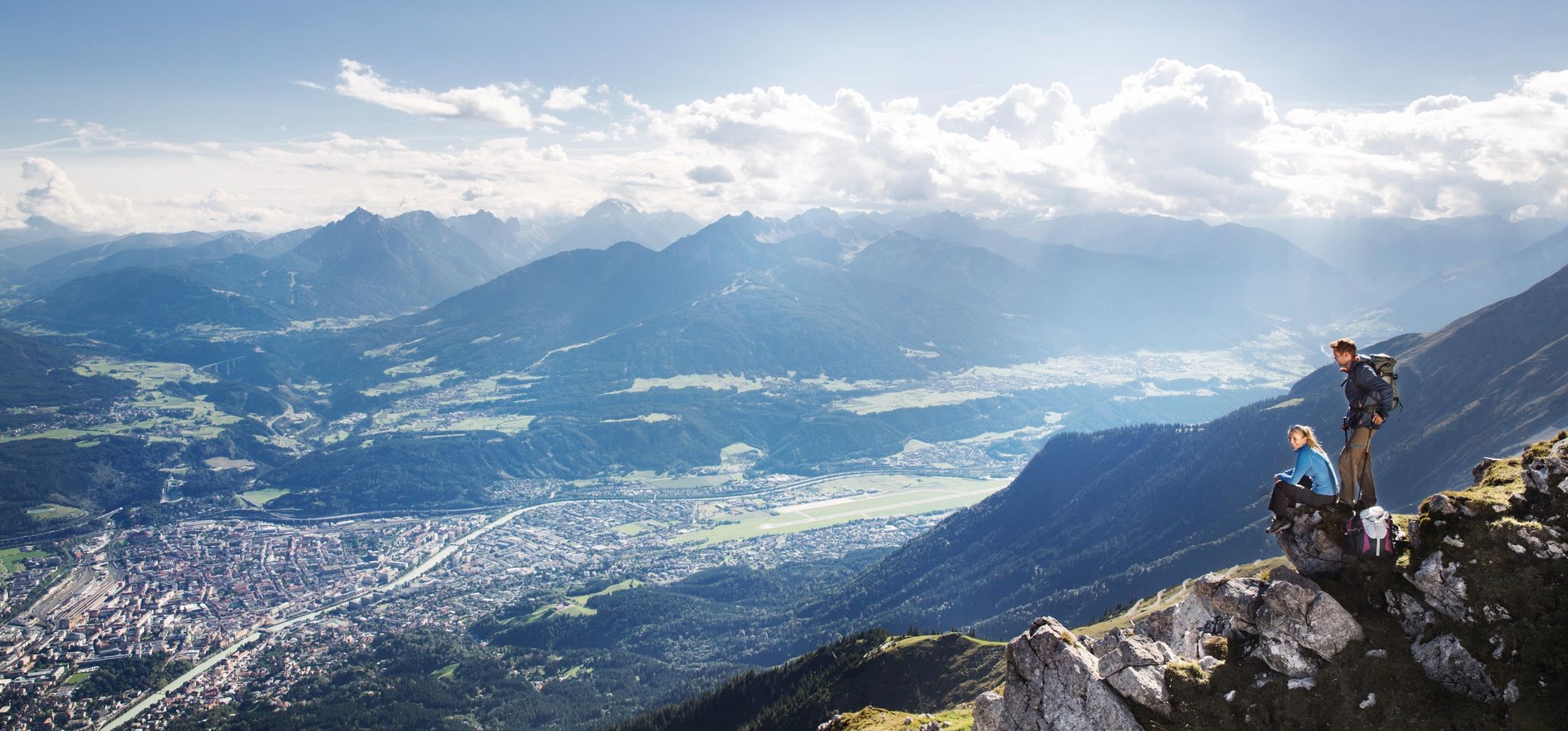
Leaving the city & up into the mountains – hiking around Innsbruck
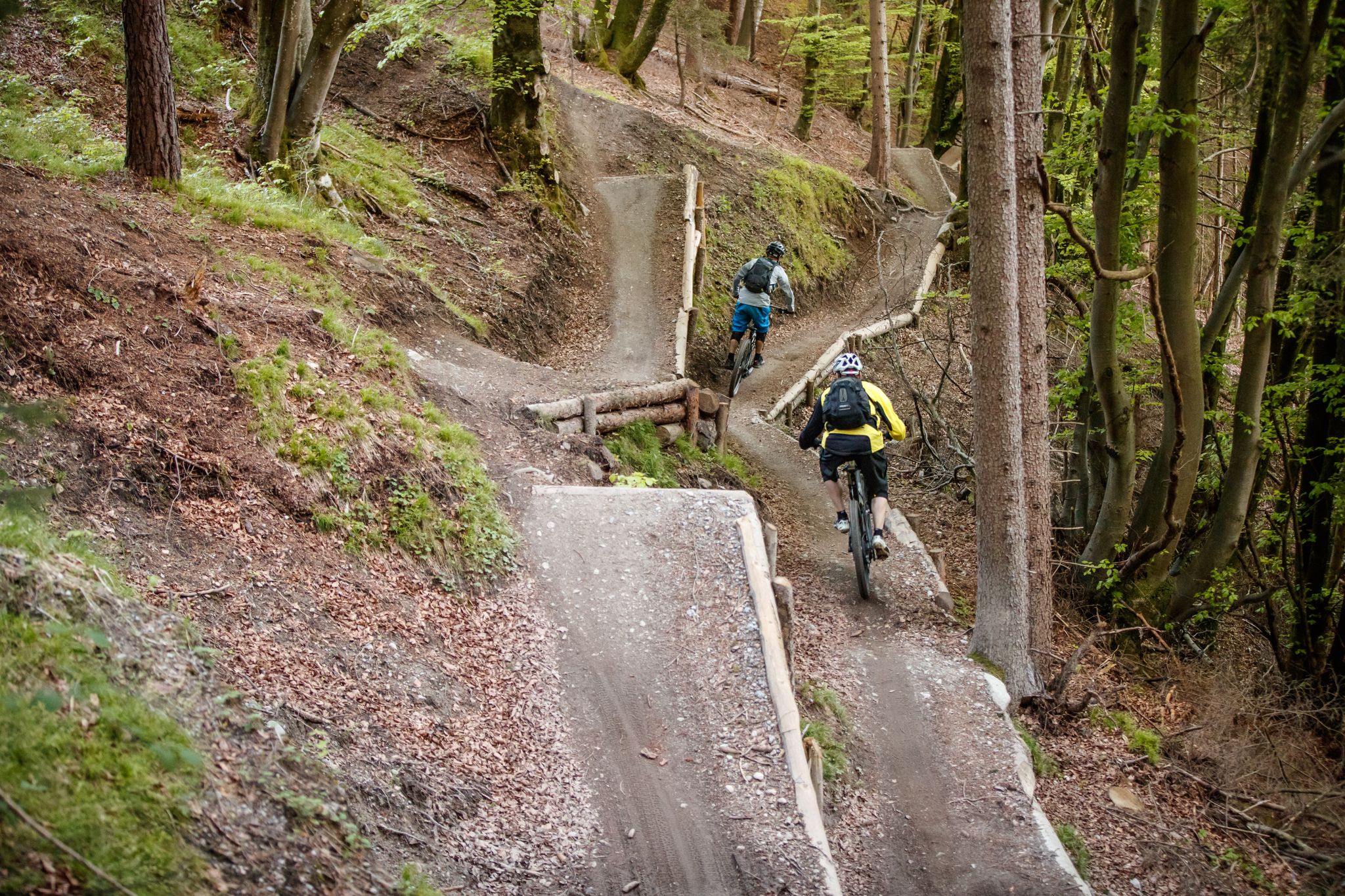
Get out of the city, get on the trail — welcome to Innsbruck!
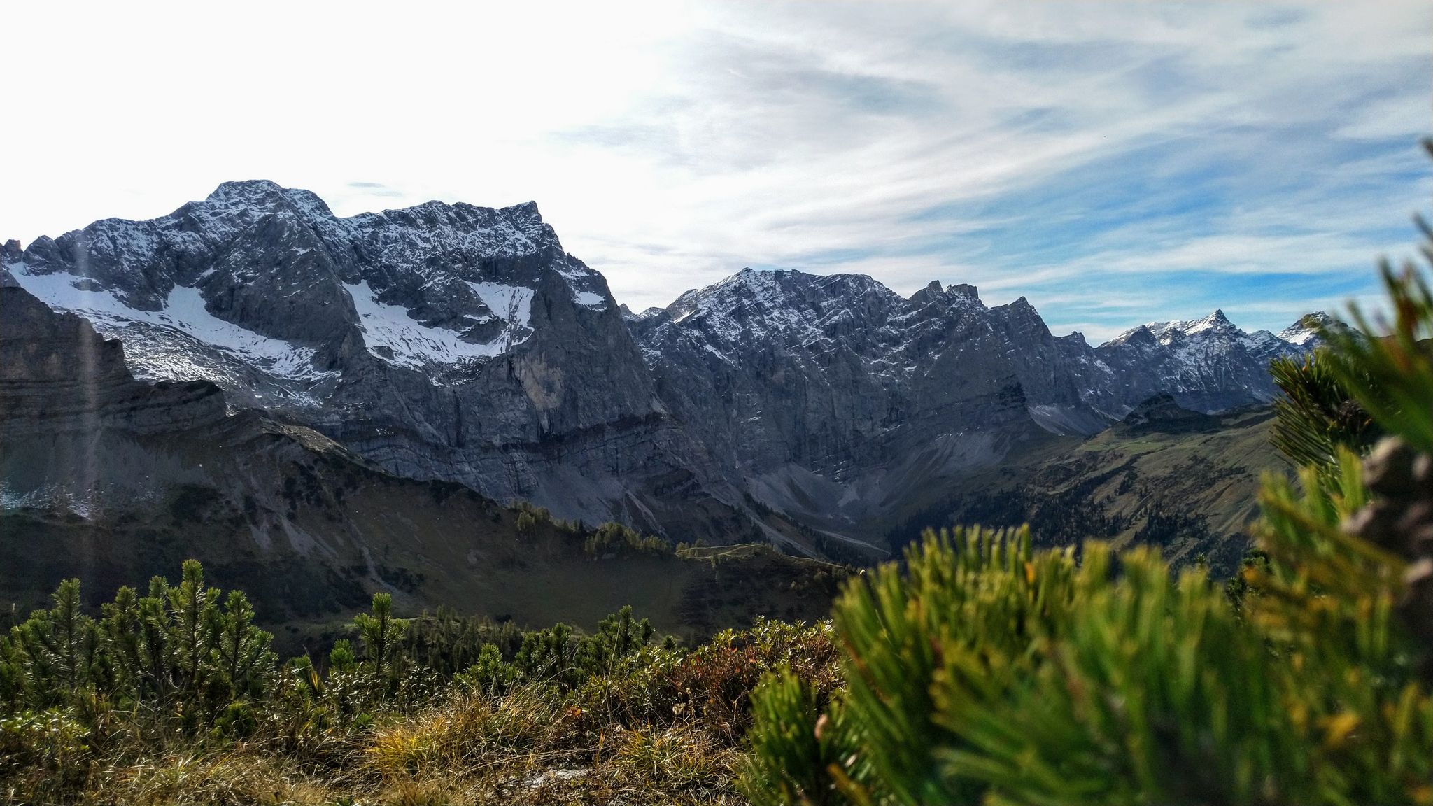
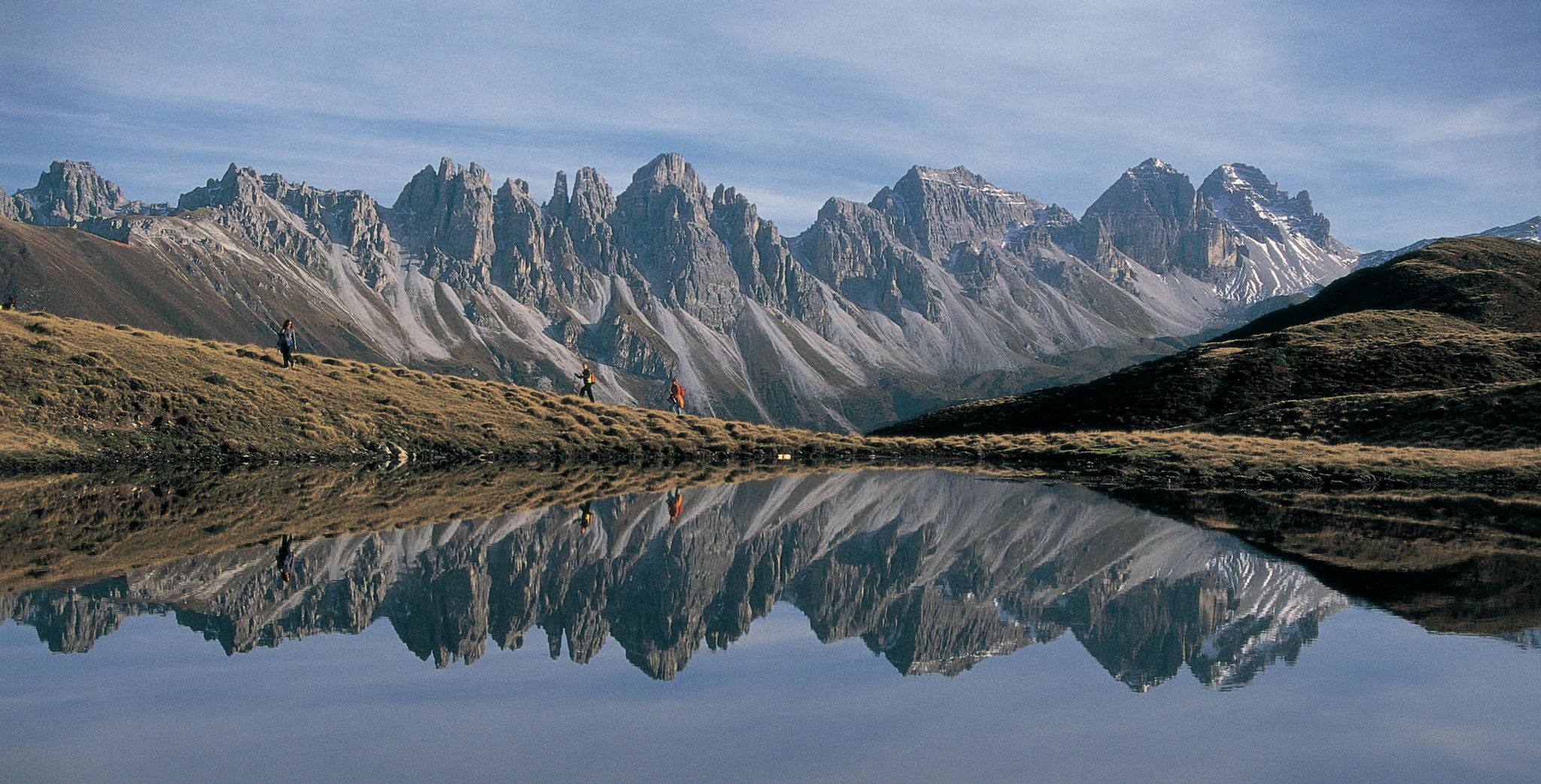
Karwendel & Wetterstein – hut-to-hut in the land of climbing pioneers
De stad uit, de bergen in – Wandelen rond Innsbruck
Traffic-free bike rides around Mieming
Other adventures around Mieming


Tips from the Community

Once you've seen the Zugspitze, it's hard to escape its fascination! From our home, near Landsberg, we can see the Zugspitze almost from the kitchen window! If we walk a few hundred meters to the edge of the village, the Alpine panorama appears.. The Zugspitze has even made it to the headboard of our Swiss pine bed, I transferred the panorama with carbon paper and burned it in with a pyrography tool.
0
0

The Large Olympic Ski Jump on the Gudiberg in Garmisch-Partenkirchen was built in 1933 and gained international recognition at the 1936 Winter Olympics. Since then, it has been modernized several times, most recently in 2007 into a state-of-the-art facility with a 125-meter K-point and HS142, where a new hill record of 145 meters was set in 2025. Every year, it hosts the traditional New Year's ski jumping event of the Four Hills Tournament, which attracts tens of thousands of spectators. The Olympic site is freely accessible year-round and can also be visited on guided tours. It is also easily accessible via the network of cycle paths around Garmisch-Partenkirchen, making a visit to the impressive ski jump an ideal combination with a bike ride.
1
0


There are places to stop for refreshments in the village of Ochsengarten or further up in the village of Kühtai. You don't have to go all the way back down to Oetz.
0
0

There is a small zip line and flying fox at the ski jump.
1
0

History of the Cistercian Monastery of Stams The Cistercian Monastery of Stams was founded in 1272 by Count Meinhard II of Gorizia-Tyrol as a burial place for the Tyrolean princes in memory of the last Hohenstaufen dynasty, Conradin, and settled a year later. The monastery's Baroque and Rococo furnishings date from between 1650 and 1750. A monastery school has been documented since the 17th century. The monastery was dissolved in 1807 and re-established in 1816 under Emperor Francis I. In 1938, the foundation was dissolved again by the Nazi regime. A new beginning was made in 1945. Monks from the Cistercian monastery of Stična (Parakeet) in Slovenia made a significant contribution to the abbey's revival. Text / Source: MEDIA OFFICE OF THE RELIGIOUS ORDER ORDERS AUSTRIA, Vienna https://www.ordensgemeinschaften.at/portal/ordensgemeinschaften/ordenswiki/address/589.html#:~:text=The Cistercian monastery of Stams was founded in 1272 by Count Meinhard and dates back to the period between 1650 and 1750.
18
1
Frequently Asked Questions
How many traffic-free road cycling routes are available in Mieming?
There are 5 dedicated traffic-free road cycling routes around Mieming featured in this guide. These routes offer a variety of experiences, from easy rides to more challenging ascents, all designed to keep you away from heavy vehicle traffic.
What is the best time of year for traffic-free road cycling in Mieming?
Mieming, known as Tyrol's 'sun terrace,' enjoys over 2,000 hours of sunshine annually, making it ideal for cycling. The best time is generally from late spring to early autumn (May to October), when the weather is mild, and the larch meadows are particularly beautiful. Summer conditions are excellent for exploring the plateau and surrounding mountains.
Are there easy, traffic-free road cycling routes suitable for beginners in Mieming?
Yes, Mieming offers easy, traffic-free road cycling routes perfect for beginners. For instance, the region features routes like the 'Cycle & Savour' route on the Mieming Plateau, designed for leisurely cyclists to enjoy local delicacies amidst scenic landscapes. This guide includes 1 easy route to get you started.
Are there challenging, car-free road cycling routes for experienced cyclists?
Absolutely. For experienced cyclists seeking a challenge, Mieming provides several demanding, car-free options. This guide features 2 difficult routes, such as the Sattele Pass (1690 m) – Haminger Berg Saddle Summit loop from Haiming, which includes significant elevation gains and offers rewarding views of the Mieminger Kette and Wetterstein Mountains.
Are there family-friendly no-traffic road cycling routes in Mieming?
While specific 'family-friendly' routes are not explicitly categorized, the easier, traffic-free routes on the Mieming Plateau are generally suitable for families. These paths often feature flat stretches through meadows and forests, providing a safe and enjoyable environment for all ages. Look for routes with lower elevation gain and shorter distances.
What kind of landscapes can I expect on traffic-free road cycling routes around Mieming?
You can expect diverse and stunning landscapes. Routes traverse the sunny Mieming Plateau, offering a mix of flat meadows, forests, and picturesque villages. You'll also enjoy dramatic backdrops of the Mieminger Kette and Wetterstein Mountains, with many routes providing beautiful views overlooking the Inn Valley.
Can I connect to other major cycling routes from Mieming's traffic-free paths?
Yes, Mieming's cycling network offers excellent connectivity. Many routes, such as the Mieming Cycle Route (R4/R23), seamlessly link to broader regional routes like the Inntal Cycle Route and the historic Via Claudia Augusta. This allows for longer tours and exploration of the wider Tyrol region.
Where can I park my car when starting a traffic-free road cycling route in Mieming?
Mieming is well-equipped for cyclists, and many starting points for routes, especially in villages like Telfs or Haiming, offer designated parking areas. It's advisable to check the specific route details on Komoot for recommended parking locations near the trailhead.
Is public transport accessible near the traffic-free road cycling routes?
Yes, public transport options are available in the Mieming region, connecting various villages and towns. This can be useful for reaching starting points or returning from longer routes. Check local bus schedules for connections to areas like Telfs, which often serve as hubs for cycling routes.
Are there cafes or places to stop for refreshments along the no-traffic routes?
Yes, many routes, particularly those designed for leisure, pass through villages or near farm-gate vendors and guesthouses. The 'Cycle & Savour' route, for example, specifically highlights stops where you can enjoy local delicacies and refreshments, making for a pleasant break during your ride.
What scenic viewpoints or natural attractions can I see along the traffic-free road cycling routes?
The Mieming area is rich in natural beauty. While cycling, you might encounter stunning vistas like the View of Lake Eibsee or the View of the Eibsee Islands. Other notable natural monuments in the vicinity include the impressive Höllental Gorge and the serene Lake Seebensee, offering picturesque stops.
What do other road cyclists enjoy the most about road cycling in Mieming?
The Mieming region is highly rated by the Komoot community, with an average score of 4.2 stars from 139 ratings. Reviewers often praise the stunning mountain backdrops, the sunny Mieming Plateau, and the comprehensive array of cycling routes that cater to all skill levels, especially the quiet, traffic-free sections.
Most popular attractions around Mieming

Get inspired with the komoot mobile app


Explore more
Browse the best Road cycling routes in other regions.
