The best hikes from bus stations around Mayrhofen
4.6
(45491)
210,833
hikers
97
hikes
Bus station hiking trails around Mayrhofen offer access to the diverse landscapes of the Zillertal Alps, characterized by high alpine terrain, deep valleys, and numerous glaciers. The region features altitudes ranging from 3,280 feet (1,000 m) to over 11,500 feet (3,500 m), with steep rocky faces and extensive trail networks. Hikers can explore pristine alpine meadows, turquoise lakes, and impressive waterfalls, all accessible via public transport.
Best bus station hiking trails around Mayrhofen
- The most popular bus station hiking route…
Last updated: September 30, 2026
4.8
(957)
3,817
hikers
Moderate hike. Good fitness required. Easily-accessible paths. Suitable for all skill levels.
4.8
(357)
1,807
hikers
Moderate hike. Good fitness required. Easily-accessible paths. Suitable for all skill levels.

4.8
(302)
940
hikers
9.28km
03:10
380m
380m
Moderate hike. Good fitness required. Mostly accessible paths. Sure-footedness required.
4.7
(182)
779
hikers
10.8km
03:24
420m
420m
Moderate hike. Good fitness required. Easily-accessible paths. Suitable for all skill levels.
4.8
(251)
1,052
hikers
6.42km
03:12
480m
480m
Hard hike. Good fitness required. Sure-footedness, sturdy shoes and alpine experience required.
Get access to more routes and recommendations from other explorers.
Already have an account?
Our route recommendations are based on thousands of hikes, rides, and runs completed by other people on komoot.
Start today with a free account
Your next adventure awaits.
Popular around Mayrhofen
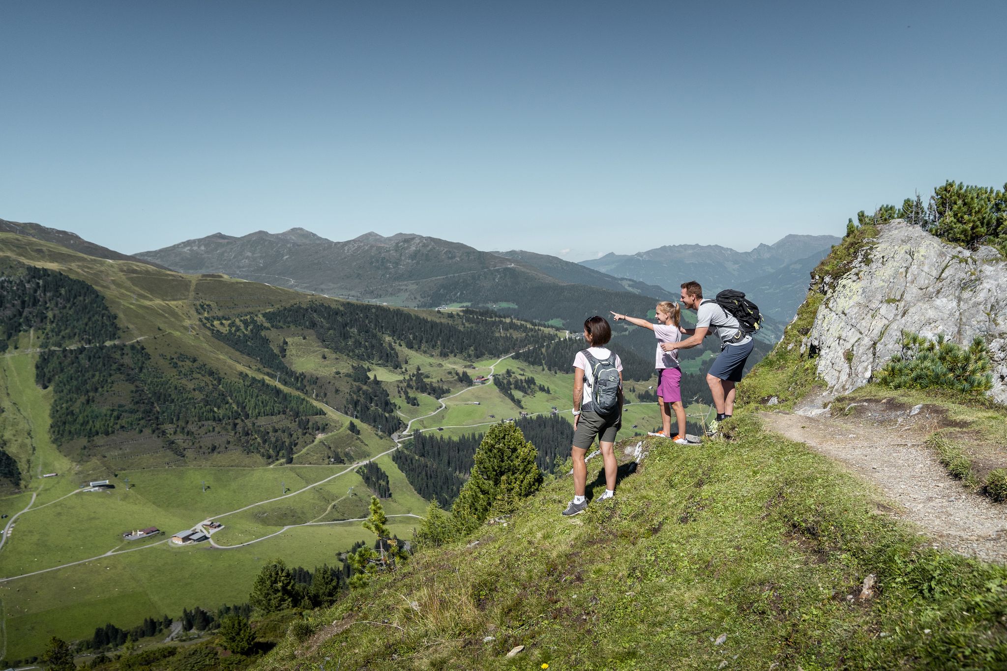
Don’t rush – easy hikes in the Zillertal
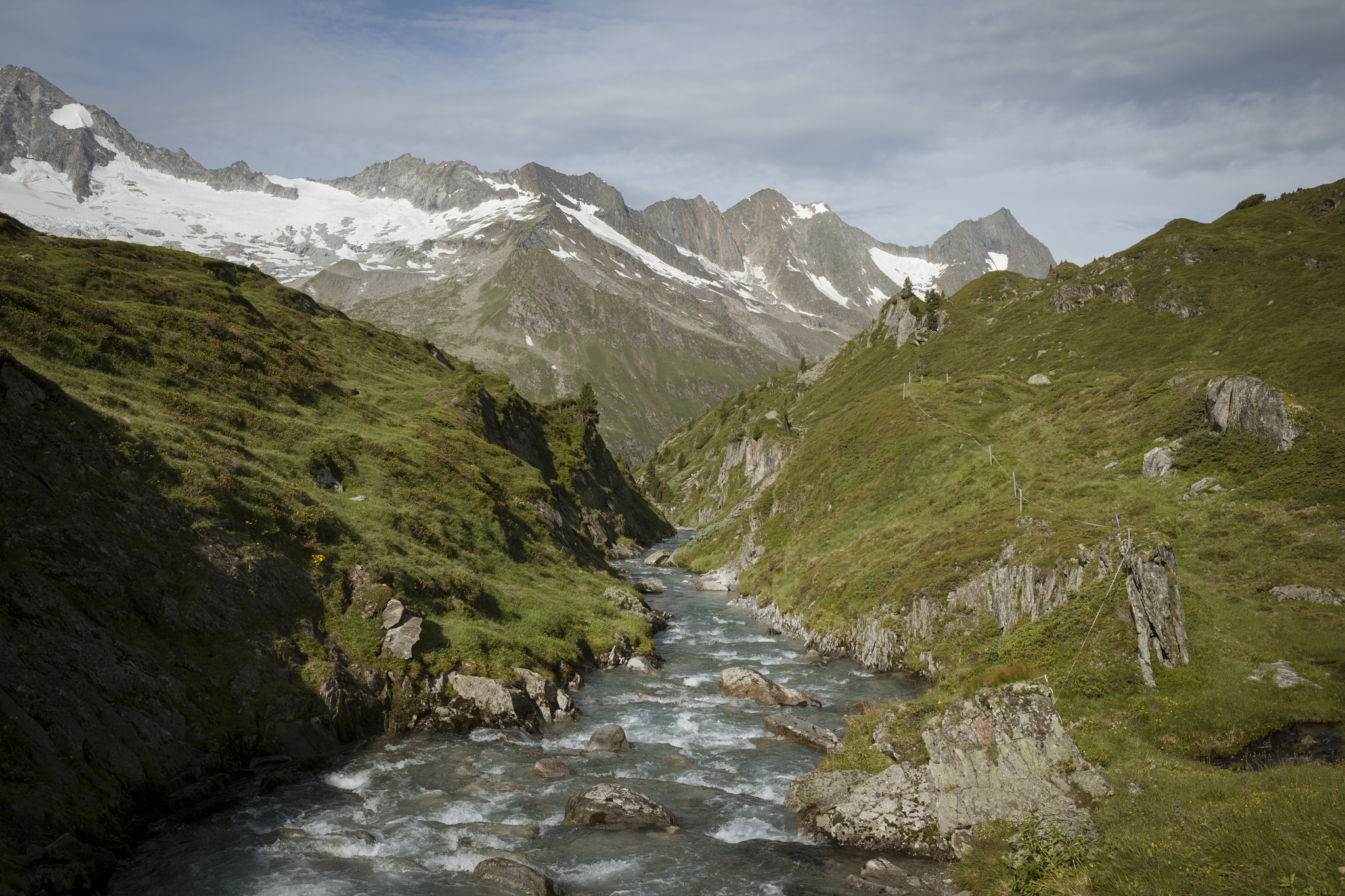
To the majestic Zillertaler Alps on the Berlin High Trail – Great Walks
Discover the Zillertal Valley in Austria on eight varied walks

An alpine adventure – from east to west through Austria
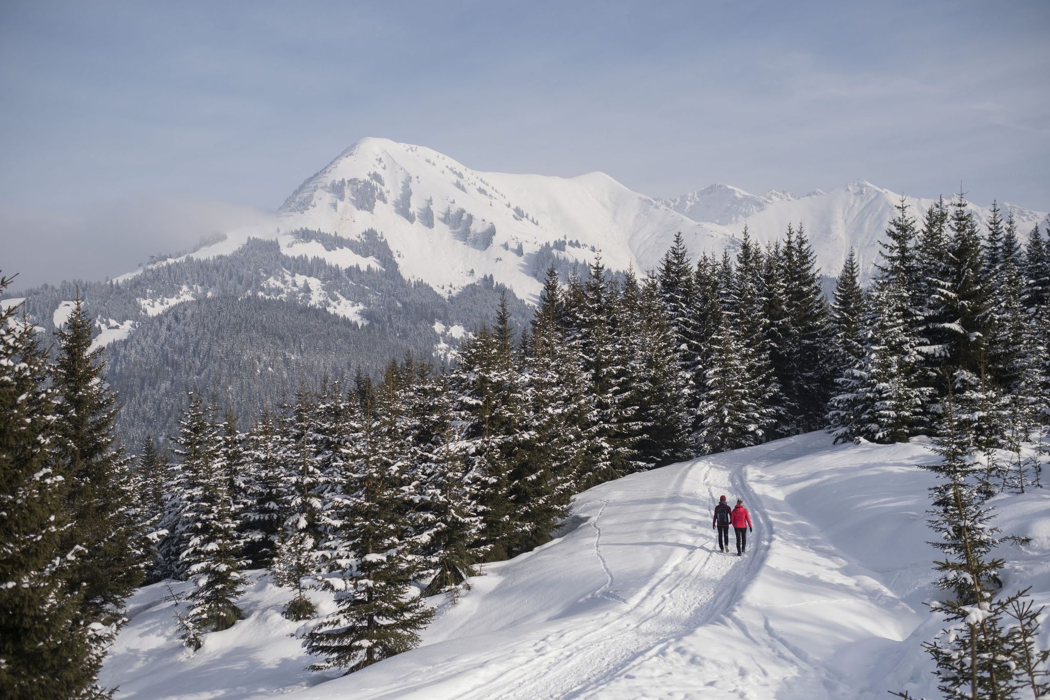
The 10 most beautiful winter hikes in Tyrol – snow guaranteed
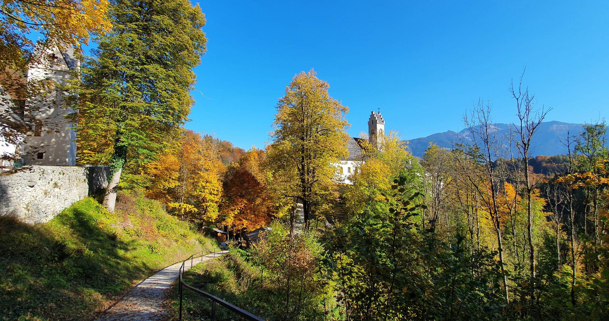
Vibrant colours and epic views – autumn in the Inn and Ziller valleys
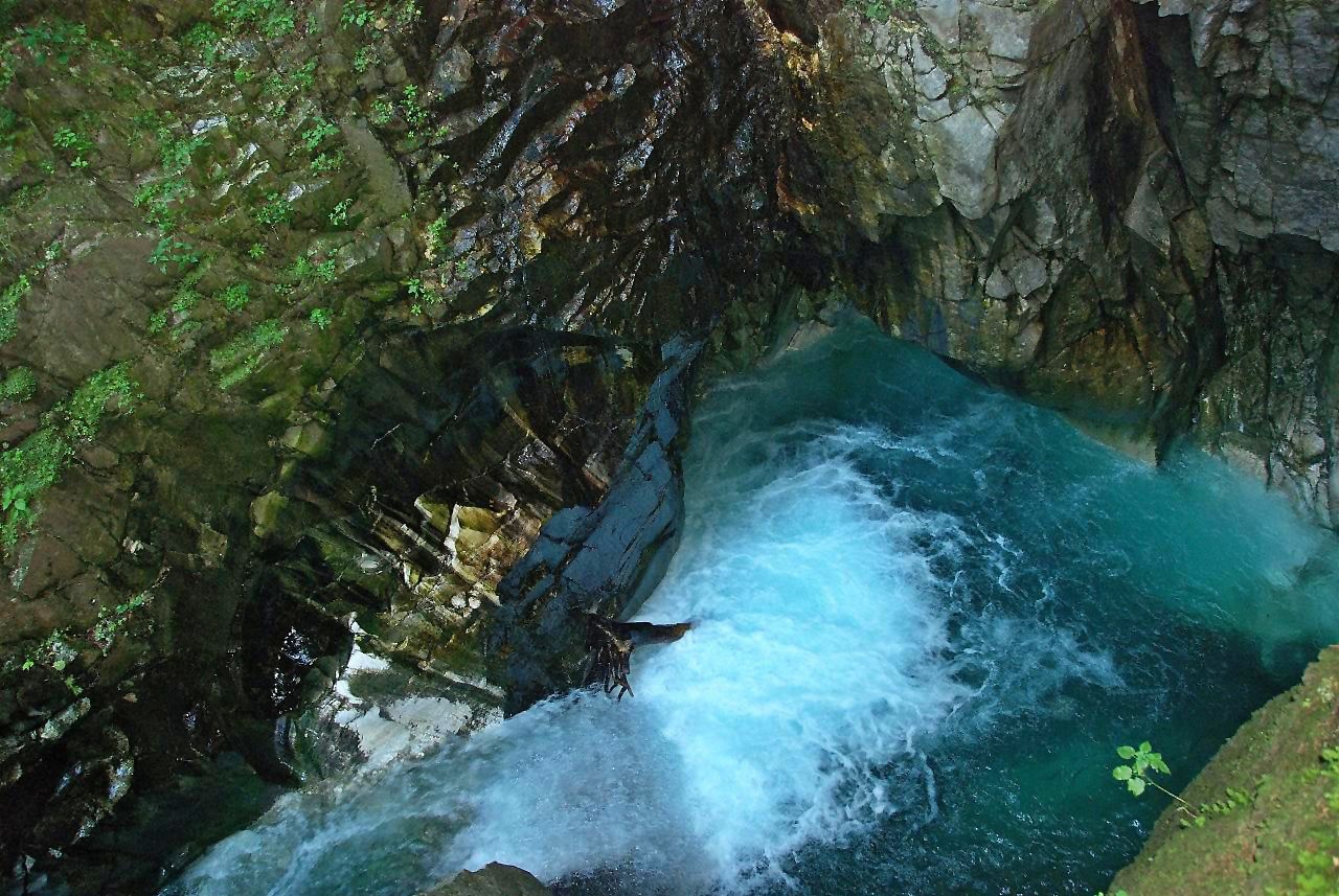
Die schönsten Klammen Tirols
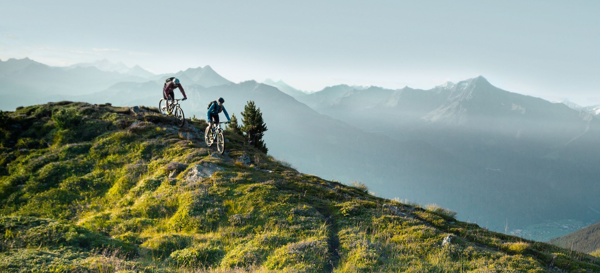
Feine Trails vor herrlicher Kulisse – mit dem MTB im Zillertal
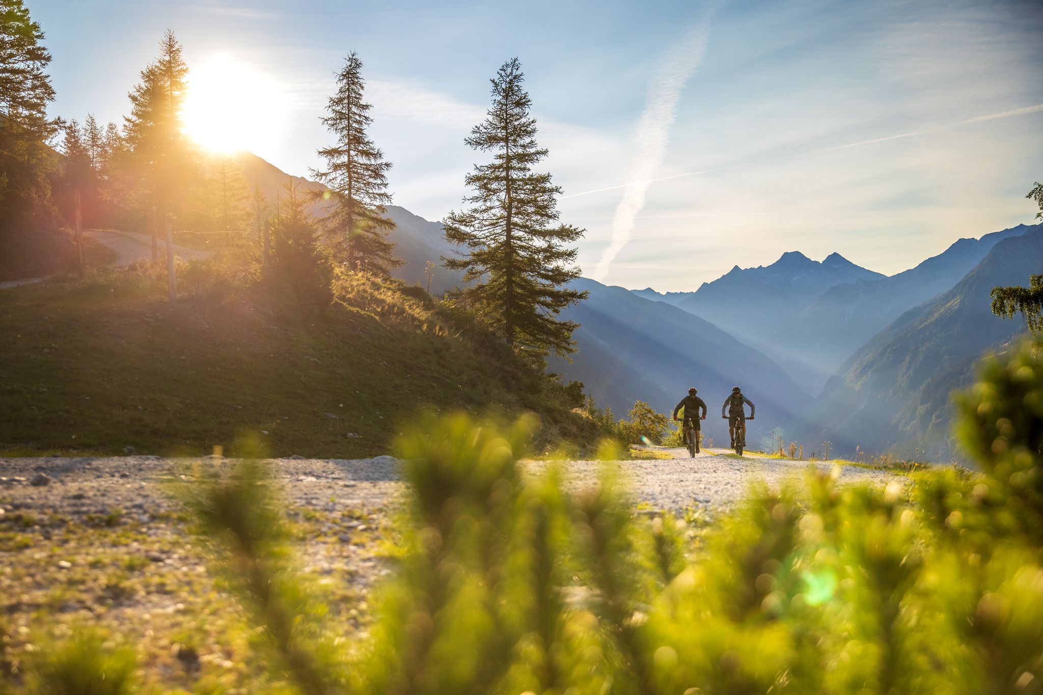
Bike & Hike im Zillertal
Other adventures around Mayrhofen


Tips from the Community

We started our hike in Finkenberg on the Leonhard Stock Trail like a leisurely stroll. However, the trail becomes more difficult later on.
0
0
The small waterfall that comes along the way from Finkenberg to Mayrhofen is also beautiful.
0
0
A lovely spot to linger. Even a larger group can rest here, spread out over several areas.
0
0
This stunning natural spectacle is definitely worth seeing. The waterfall alone is worth the trip.
1
0

Great location, friendly staff, and good regional cuisine. Perfect for a hiking break. 🌿
0
0
The valley is beautifully tranquil, with clear streams, green alpine meadows, and an impressive mountain backdrop. I was particularly impressed by the area around the Tristenbachalm – pure nature and true relaxation. A place to breathe deeply and enjoy! 💧🏔️💚
0
0

Very nice hike from Mayrhofen to the waterfall.
5
0

Nice tour, but it must not be cloudy.
0
0
Frequently Asked Questions
How many bus-accessible hiking trails are there around Mayrhofen?
Mayrhofen offers a vast network of bus-accessible hiking trails. Our guide features nearly 100 routes that can be reached conveniently by public transport, catering to various difficulty levels and preferences.
What makes Mayrhofen an ideal destination for bus station hiking trails?
Mayrhofen, nestled in the Zillertal Valley, is exceptional due to its extensive public transport network, including buses and cable cars, which provide easy access to a wide range of trails. This allows hikers to explore the stunning Zillertal Alps High Mountain Nature Park, from leisurely valley strolls to challenging high-alpine routes, without needing a car.
Are there easy or family-friendly bus-accessible hikes in Mayrhofen?
Yes, Mayrhofen offers many easy and family-friendly options. The Ahorn Plateau, accessible via the Ahornbahn cable car (which can be reached by bus), features trails like the AlbertAdler Adventure Trail. For a moderate option, consider the Zemmbach Gorge – View of Mayrhofen loop from Mayrhofen, which offers scenic views and is easily reachable from the Mayrhofen bus station.
Can I find circular hiking routes that start and end at a bus station?
Absolutely. Many routes in Mayrhofen are designed as circular walks, making them perfect for bus-accessible adventures. An example is the The wild and romantic Stilluptal – Schlegeis Waterfall loop from Grüne Wand Hütte, which provides a beautiful round trip through diverse landscapes.
Are there any bus-accessible hikes that feature waterfalls?
Yes, the region is rich in picturesque waterfalls. You can explore routes that lead to stunning cascades like the Schrauben Waterfall or the Schleier Waterfall. The Waterfall – Max Hut loop from Ginzling is a more challenging option that directly incorporates a waterfall experience and is accessible by bus to Ginzling.
What kind of natural features and landmarks can I expect to see on these trails?
Mayrhofen's bus-accessible trails lead through diverse landscapes within the Zillertal Alps High Mountain Nature Park. You can encounter impressive glacial landscapes, pristine alpine meadows, and stunning reservoirs like the Zillergrundl and Schlegeis. Highlights include the Hintertux Glacier (a prominent nearby attraction), and various caves such as the Nature Ice Palace at Hintertux Glacier.
Are there options for more challenging or difficult bus-accessible hikes?
For experienced hikers, Mayrhofen offers demanding routes that are still reachable by bus. The Stillupklamm Gorge – Stillup Gorge loop from Mayrhofen is a challenging hike with significant elevation changes. Many high-alpine routes, including sections of the multi-day Berlin High Trail, can be accessed via bus connections to their starting points.
What is the best time of year for bus station hiking in Mayrhofen?
The best time for hiking in Mayrhofen is typically between June and October. During this period, high trails are generally clear of snow, and alpine flowers are in full bloom. September is often recommended for milder weather and fewer crowds, offering ideal conditions for exploring the bus-accessible routes.
Are there mountain huts or cafes along bus-accessible hiking trails for refreshments?
Yes, the Mayrhofen region is dotted with numerous mountain huts and alpine pastures that offer refreshments and often stunning views. Many bus-accessible trails lead past or directly to these huts, such as the Plauener Hütte or Olpererhütte, providing perfect spots for a break. The Floitenbach – View into the Floite loop from Ginzling, for example, offers opportunities for breaks in a scenic setting.
What do other hikers say about the bus-accessible trails in Mayrhofen?
The bus-accessible trails in Mayrhofen are highly rated by the komoot community, with an average score of 4.56 stars from over 39,000 ratings. Reviewers often praise the stunning alpine views, the convenience of public transport access, and the well-maintained paths that cater to all skill levels.
Most popular routes around Mayrhofen
Most popular attractions around Mayrhofen

Get inspired with the komoot mobile app


Explore more
Browse the best Hikes in other regions.
