The best hikes from bus stations around Warstein
4.6
(4790)
17,412
hikers
367
hikes
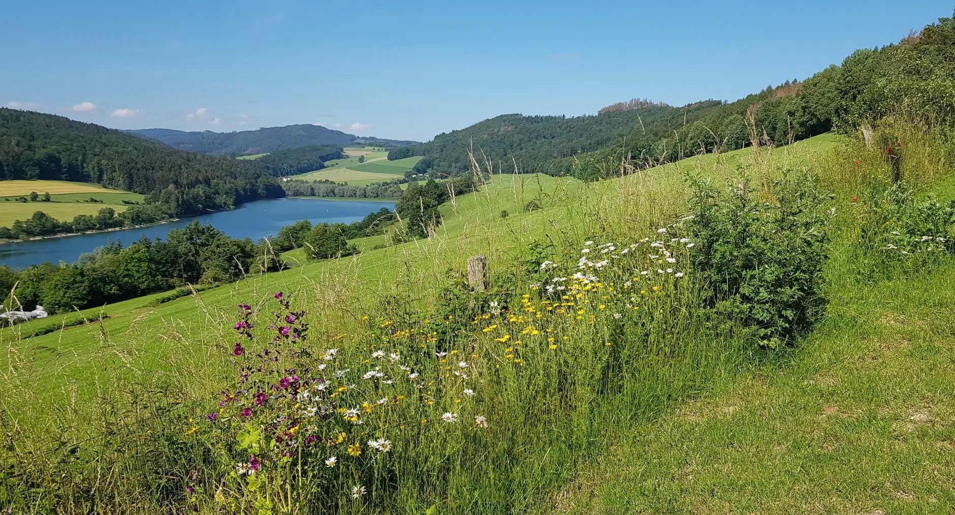
Bus station hiking trails around Warstein offer access to the diverse landscapes of the Sauerland region, including the extensive Arnsberg Forest Nature Park. The area is characterized by vast forest coverage, forested mountain ranges, and the renaturalized floodplain of the Möhnetal. Elevations reach up to 581 meters, with features like the Haarstrang mountain range to the north and numerous valleys. This natural environment provides varied terrain for hiking directly from public transport hubs.
Best bus station hiking trails around Warstein
…Last updated: September 30, 2026
4.7
(65)
195
hikers
14.1km
03:57
280m
280m
Moderate hike. Good fitness required. Easily-accessible paths. Suitable for all skill levels.
4.7
(64)
186
hikers
18.3km
05:11
400m
400m
Hard hike. Very good fitness required. Easily-accessible paths. Suitable for all skill levels.

4.5
(44)
165
hikers
7.57km
02:06
130m
130m
Moderate hike. Good fitness required. Easily-accessible paths. Suitable for all skill levels.
4.7
(45)
117
hikers
11.5km
03:11
200m
200m
Moderate hike. Good fitness required. Easily-accessible paths. Suitable for all skill levels.
4.6
(37)
113
hikers
18.4km
05:11
380m
380m
Hard hike. Very good fitness required. Easily-accessible paths. Suitable for all skill levels.
Get access to more routes and recommendations from other explorers.
Already have an account?
Our route recommendations are based on thousands of hikes, rides, and runs completed by other people on komoot.
Start today with a free account
Your next adventure awaits.

Other adventures around Warstein


Tips from the Community

An insect hotel is really useful and interesting. But unfortunately, most of them - like this one - are poorly constructed. The holes in the wood slices must come from the bark side and not, as is so often the case, from the cut side. This way, the wood fibers damage the delicate wings of the wild bees... A shame... Well-intentioned, poorly executed.
0
0

One sees the success of this idea from year to year.
0
0

The Warsteiner Tor in the Hirschberg district of Warstein does not refer to a historical stone building, but rather to a striking waymarker, a wooden arch on the popular Sauerland-Waldroute.
1
0
Incidentally, wood was a strictly necessary raw material for iron production. Only with charcoal was it possible in early times and the Middle Ages to reach the temperature of at least 1,200 degrees Celsius required for melting ore. The production of iron consumed vast amounts of wood. To produce one ton of iron, the charcoal obtained from 15-20 trees was used. Gradually, more wood was processed into charcoal than could regrow in the forest. Thus, the Kahlenberg, which is wooded again today, became the bare mountain.
1
0


You don't see a historic gang saw every day anymore; it's a real highlight.
2
0

Frequently Asked Questions
How many bus station hiking trails are available around Warstein?
There are over 370 hiking trails around Warstein that are accessible from bus stations, offering a wide variety of options for all skill levels.
What kind of landscapes can I expect on bus-accessible hikes in Warstein?
Warstein is nestled within the Arnsberg Forest Nature Park, so you can expect extensive mixed forests, rolling hills, and picturesque valleys. Many routes also feature the renaturalized floodplain landscape of the Möhnetal and views of the Haarstrang mountains.
Are there any family-friendly hiking trails accessible by bus in Warstein?
Yes, the Bilstein Cave – Bilsteintal Wildlife Park loop from Hirschberg is a great moderate option. The Bilsteintal itself is a significant attraction for families, featuring a fascinating cave system and a wildlife park. Many other easier routes are also suitable for families.
What are some notable landmarks or viewpoints I can reach on these trails?
You can explore several impressive sights. The Skywalk Möhne Valley – View of Allagen loop from Allagen offers breathtaking views over the Möhnetal. Another highlight is the Lörmecketurm, which provides expansive views across the Sauerland and can be incorporated into longer hikes like the Bilstein Cave – View of the Lörmecke Tower loop from Hirschberg.
Are there any dog-friendly hiking routes accessible by bus?
Many trails in the Arnsberg Forest Nature Park are dog-friendly, provided your dog is kept on a leash, especially in wildlife-rich areas. The extensive forest paths offer plenty of space for you and your canine companion. Always check local signage for specific restrictions.
What is the best time of year to go hiking from Warstein's bus stations?
The best seasons for hiking in Warstein are spring and autumn. During these times, the natural scenery is at its most vibrant with blooming flowers or colorful foliage, and the climate is generally mild and pleasant for outdoor activities.
Can I find challenging hikes accessible by bus?
Absolutely. For experienced hikers seeking a challenge, routes like the View of Warstein – Hirschberg Village loop from Warsteiner Brauerei offer significant elevation gain and longer distances. Warstein has 19 difficult routes accessible by bus, with the highest elevation reaching 581 meters at Stimm Stamm.
Are there any circular hiking routes available from bus stops?
Yes, many of the trails are designed as circular routes, allowing you to start and end your hike at the same bus stop. For example, the Bilsteintal Wildlife Park – Hirschberg Village loop from Hirschberg is a popular circular option.
What do other hikers say about the trails around Warstein?
The hiking trails around Warstein are highly rated by the komoot community, with an average score of 4.6 out of 5 stars from nearly 4,000 ratings. Hikers often praise the diverse natural landscapes, the well-maintained paths, and the tranquility of the Arnsberg Forest.
Are there opportunities for wildlife spotting on these hikes?
Given that Warstein is situated within the Arnsberg Forest Nature Park, there are ample opportunities for wildlife spotting. The Bilsteintal area, in particular, features a dedicated wildlife park (Hunting Lodge Sankt Meinolf is nearby) and the surrounding forests are home to various native species. Early mornings or late afternoons are often the best times to observe animals.
Are there places to eat or drink near the bus-accessible trailheads?
Yes, several routes pass by or start near establishments where you can grab a bite or a refreshing drink. For instance, the area around Hirschberg and Allagen offers options. The Schinkenwirt and Schürmann Forest Inn are examples of places where you might find refreshments.
Most popular routes around Warstein
Most popular attractions around Warstein

Get inspired with the komoot mobile app


Explore more
Browse the best Hikes in other regions.
