The best hikes from bus stations around Landkreis Sonneberg
4.6
(5462)
19,498
hikers
554
hikes
Bus station hiking trails around Landkreis Sonneberg offer access to a diverse landscape in southern Thuringia, Germany. The region is characterized by sections of the Thuringian Forest, the Thuringian Slate Mountains, and the Franconian Forest, providing extensive woodlands and varied topography. Hikers can explore gentle hills, deep valleys, and rocky areas, including the historic Green Belt. This varied terrain supports a wide range of hiking options.
Best bus station hiking trails around Landkreis Sonneberg
- The most popular bus station hiking…
Last updated: June 27, 2026
4.2
(37)
121
hikers
8.05km
02:10
100m
100m
Moderate hike. Good fitness required. Easily-accessible paths. Suitable for all skill levels.
4.2
(23)
73
hikers
18.0km
05:03
240m
490m
Hard hike. Very good fitness required. Easily-accessible paths. Suitable for all skill levels.

Sign up for free
4.6
(5)
17
hikers
Easy hike. Great for any fitness level. Easily-accessible paths. Suitable for all skill levels.
4.8
(101)
359
hikers
8.27km
02:26
210m
210m
Moderate hike. Good fitness required. Mostly accessible paths. Sure-footedness required.
4.8
(138)
500
hikers
20.8km
05:36
240m
240m
Hard hike. Very good fitness required. Mostly accessible paths. Sure-footedness required.
Get access to more routes and recommendations from other explorers.
Sign up for free
Already have an account?
Our route recommendations are based on thousands of hikes, rides, and runs completed by other people on komoot.
Start today with a free account
Your next adventure awaits.
Login or Signup
Popular around Landkreis Sonneberg
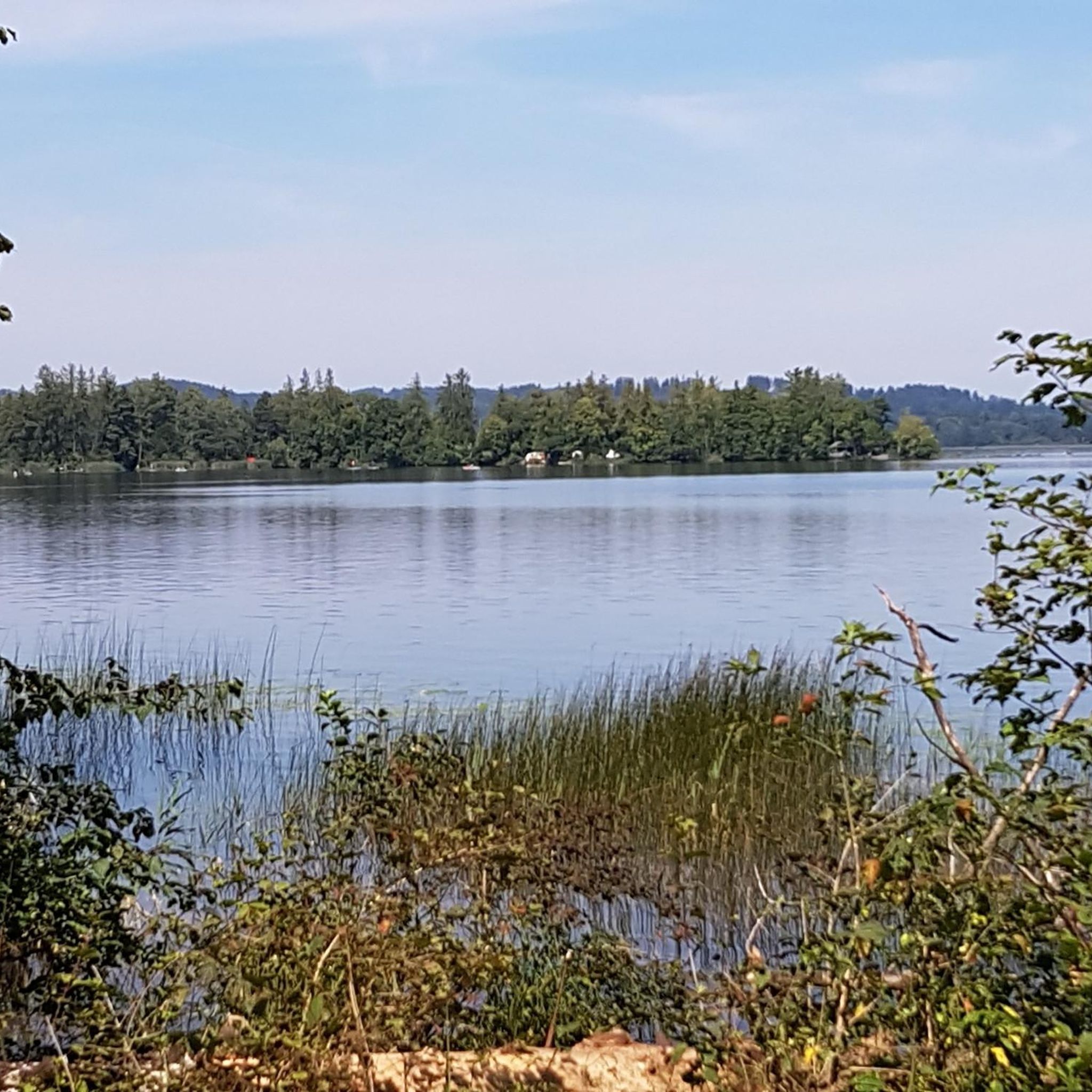
Hikes from bus stations in Wurzelbergfarmde
Hikes from bus stations around Neuhaus am Rennweg
Hikes from bus stations around Stausee Scheibe-Alsbach

Hikes from bus stations around Schalkau
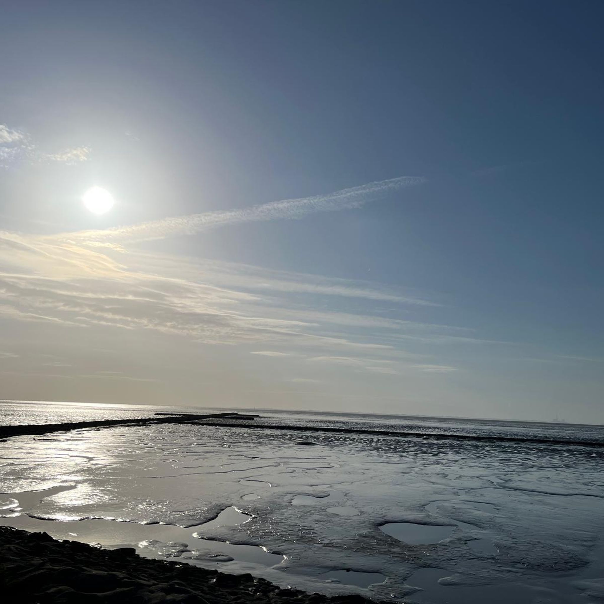
Hikes from bus stations around Lauscha
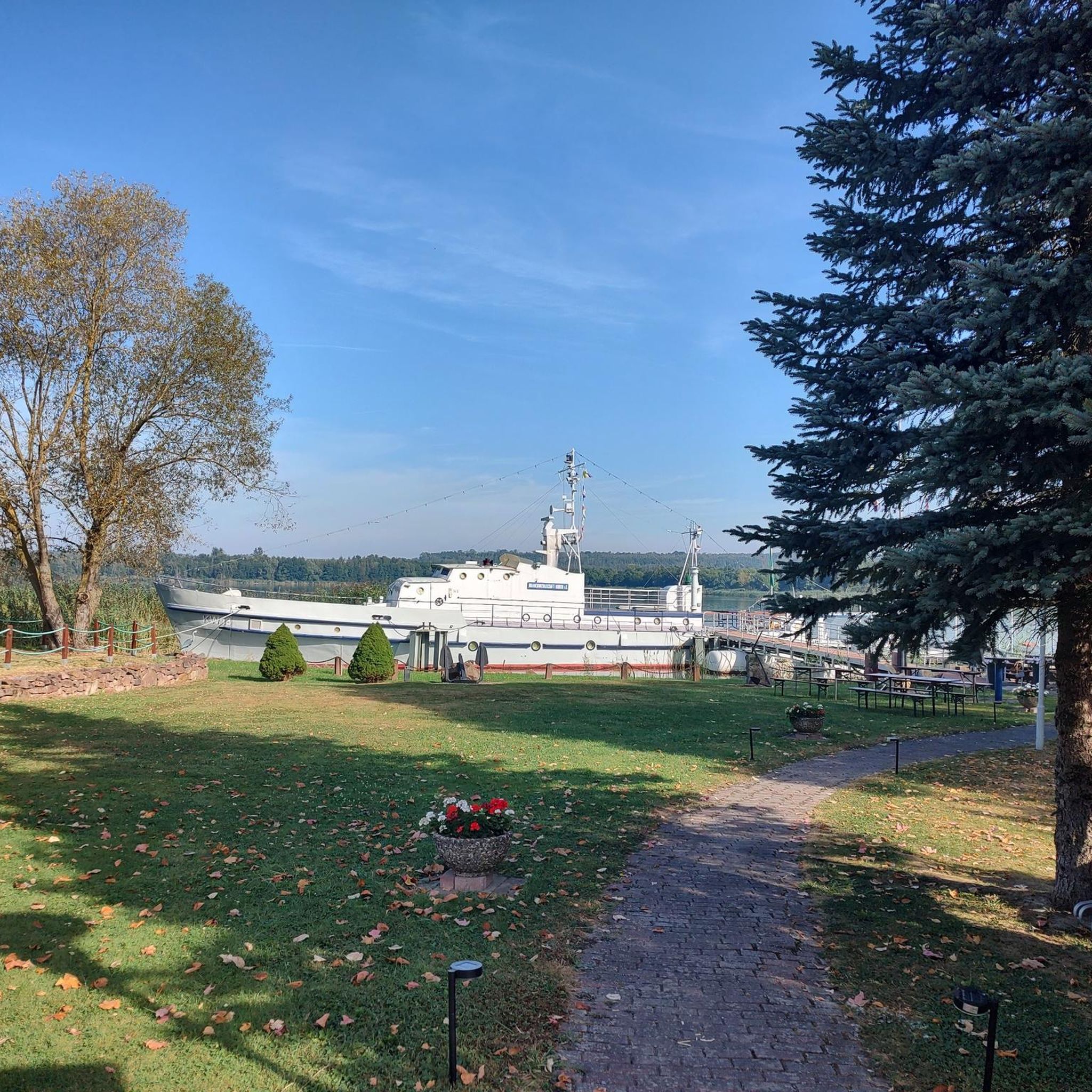
Hikes from bus stations around Frankenblick

Hikes from bus stations around Neuhaus-Schierschnitz
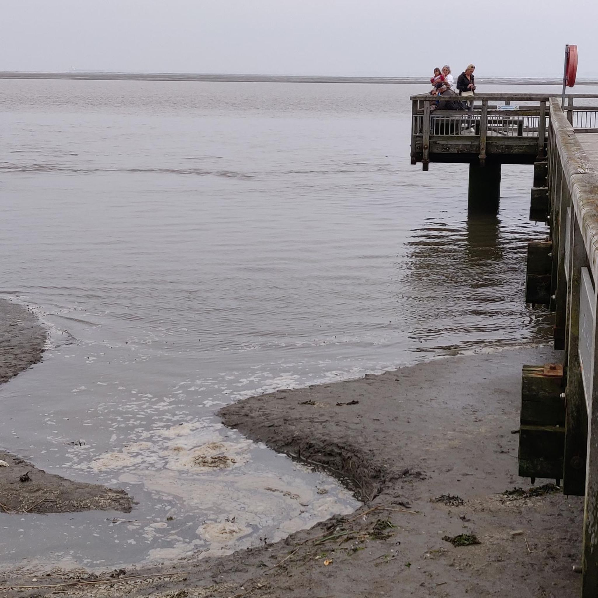
Hikes from bus stations around Judenbach

Hikes from bus stations around Goldisthal

Hikes from bus stations around Föritz
Other adventures around Landkreis Sonneberg


Tips from the Community

Many boundary stones line the path
0
0

A visit is always worthwhile!
0
0

Rennsteig, Werra-Burgen-Steig... or just hike. 😁
0
0

The Sandberg is a hill near Steinheid and part of the Kammweg trail that runs through the region. From here, you can enjoy magnificent views and explore the surrounding area.
0
0

A whole series of boundary stones stand along the Rennsteig.
0
0

The Thuringian Forest is simply beautiful 😊.
0
0

You are welcome to stop here
0
0
Frequently Asked Questions
How many bus station hiking trails are available in Landkreis Sonneberg?
Landkreis Sonneberg offers a vast network of over 550 hiking trails accessible directly from bus stations. This includes more than 270 easy routes, over 250 moderate options, and around 20 challenging trails, ensuring there's something for every hiker.
Are there any easy, family-friendly hikes accessible by bus in Landkreis Sonneberg?
Yes, the region is well-suited for families. An excellent easy option is the Nature Park Trail "Bergwiesen- und Moorlehrpfad" in Friedrichshöhe, which is just over 2 km long and focuses on mountain meadows and moors. The region also features attractions like the Meuselbrunn Fairytale Forest, offering engaging paths for younger hikers.
Can I find circular hiking routes that start and end at a bus station?
Absolutely. Many routes in Landkreis Sonneberg are designed as circular walks, making them perfect for public transport users. For example, the moderate Rundwanderung „Waldlehrpfad Saarberg“ im Thüringer Wald is an 8 km loop, and the Schwarza Spring – Scheibe-Alsbach Reservoir loop from Steinheid is another great moderate circular option.
What kind of natural features and viewpoints can I expect to see on these trails?
The trails often lead through the dense woodlands of the Thuringian Forest, Thuringian Slate Mountains, and Franconian Forest. You can discover natural springs like the Schwarza Spring, and enjoy panoramic views from elevated points such as the Blessberg Observation Tower or the Fellberg summit.
Are there any longer, more challenging bus-accessible hikes in the region?
Yes, for experienced hikers, there are more demanding routes. The Lauschaer Glasbläserpfad is a challenging 18 km trail that explores the region's glassblowing heritage. Another difficult option is the Werra Spring Fehrenbach – Werra Spring Hut loop from Siegmundsburg, spanning over 20 km.
What historical or cultural points of interest can I find along bus station trails?
Many trails offer a glimpse into the region's history. You can hike along sections of the historic Green Belt, which follows the former inner-German border. Themed trails like the Stylus path Steinach explore historical slate mining areas, and the Lauschaer Glasbläserpfad highlights the glassblowing tradition. You might also encounter historical markers like the Three-current brick.
Are the bus station hiking trails in Landkreis Sonneberg dog-friendly?
Most hiking trails in Landkreis Sonneberg are dog-friendly, provided dogs are kept on a leash, especially in nature reserves and near wildlife. It's always a good idea to bring water for your dog and check local regulations for specific areas.
What do other hikers say about the trails in Landkreis Sonneberg?
The komoot community highly rates the hiking experience in Landkreis Sonneberg, with an average score of 4.7 out of 5 stars from over 5,100 ratings. Hikers often praise the diverse landscapes, the well-maintained paths through dense forests, and the accessibility of many routes via public transport.
Are there any castles or ruins accessible near the bus station hiking routes?
Yes, the region has several historical sites. While hiking, you might find yourself near impressive structures like the Schaumburg Castle Ruins or the Rauenstein Castle Ruins, offering a historical detour to your outdoor adventure.
What is the best season for bus station hikes in Landkreis Sonneberg?
Landkreis Sonneberg offers hiking opportunities year-round. Spring and autumn provide pleasant temperatures and vibrant colors, while summer is ideal for longer excursions. Even in winter, the region transforms into a snowy landscape, with some trails suitable for winter walks, though conditions should always be checked beforehand.
Are there places to rest or get refreshments along the trails?
Yes, many routes pass by huts or resting places. For instance, the Eisfelder Resting Place is a known spot. Larger peaks like the Blessberg and Fellberg also feature hostels or 'Baude' (like the Fellbergbaude) that serve as hubs for hikers, offering refreshments and a place to rest.
Most popular routes around Landkreis Sonneberg
Most popular attractions around Landkreis Sonneberg

Get inspired with the komoot mobile app


Didn’t find what you were looking for?
Check out more Hikes throughout Landkreis Sonneberg below and find the perfect route in your destination.
Explore more
Browse the best Hikes in other regions.
