The best hikes from bus stations around Rheinbach
4.5
(3665)
15,438
hikers
296
hikes
Bus station hiking trails around Rheinbach offer access to diverse landscapes in the Rhein-Sieg district of Germany. The region features rolling hills, extensive nature reserves like the Rheinbacher Wald, and proximity to the Eifel mountains. Hikers can explore dense forests, small streams, and historical sites, with routes ranging from gentle paths to more challenging ascents.
Best bus station hiking trails around Rheinbach
- The most popular bus station hiking route is Nature Park Rhineland | Rheinbacher-Forest-Round - Hikes in Rhein-Sieg-District,…
Last updated: August 20, 2026
4.6
(122)
438
hikers
Moderate hike. Good fitness required. Mostly accessible paths. Sure-footedness required.
4.7
(174)
604
hikers
11.8km
03:12
160m
160m
Moderate hike. Good fitness required. Easily-accessible paths. Suitable for all skill levels.

Sign up for free
4.7
(75)
226
hikers
6.85km
01:52
100m
100m
Easy hike. Great for any fitness level. Easily-accessible paths. Suitable for all skill levels.
4.7
(65)
172
hikers
6.33km
01:42
80m
80m
Easy hike. Great for any fitness level. Easily-accessible paths. Suitable for all skill levels.
4.4
(36)
161
hikers
8.28km
02:17
140m
140m
Moderate hike. Good fitness required. Easily-accessible paths. Suitable for all skill levels.
Get access to more routes and recommendations from other explorers.
Sign up for free
Already have an account?
Our route recommendations are based on thousands of hikes, rides, and runs completed by other people on komoot.
Start today with a free account
Your next adventure awaits.
Login or Signup
Popular around Rheinbach
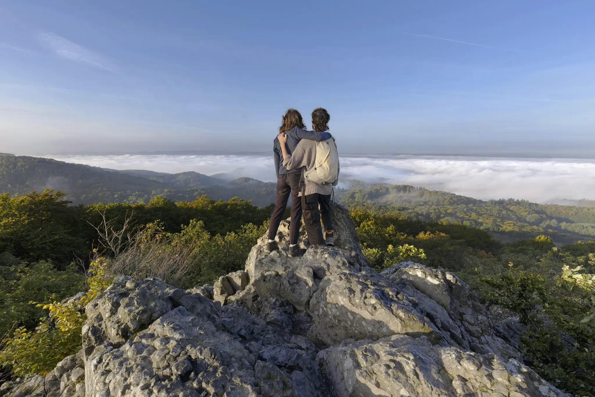
I'm getting outside! – eight adventurous hikes on the Rhine and Sieg
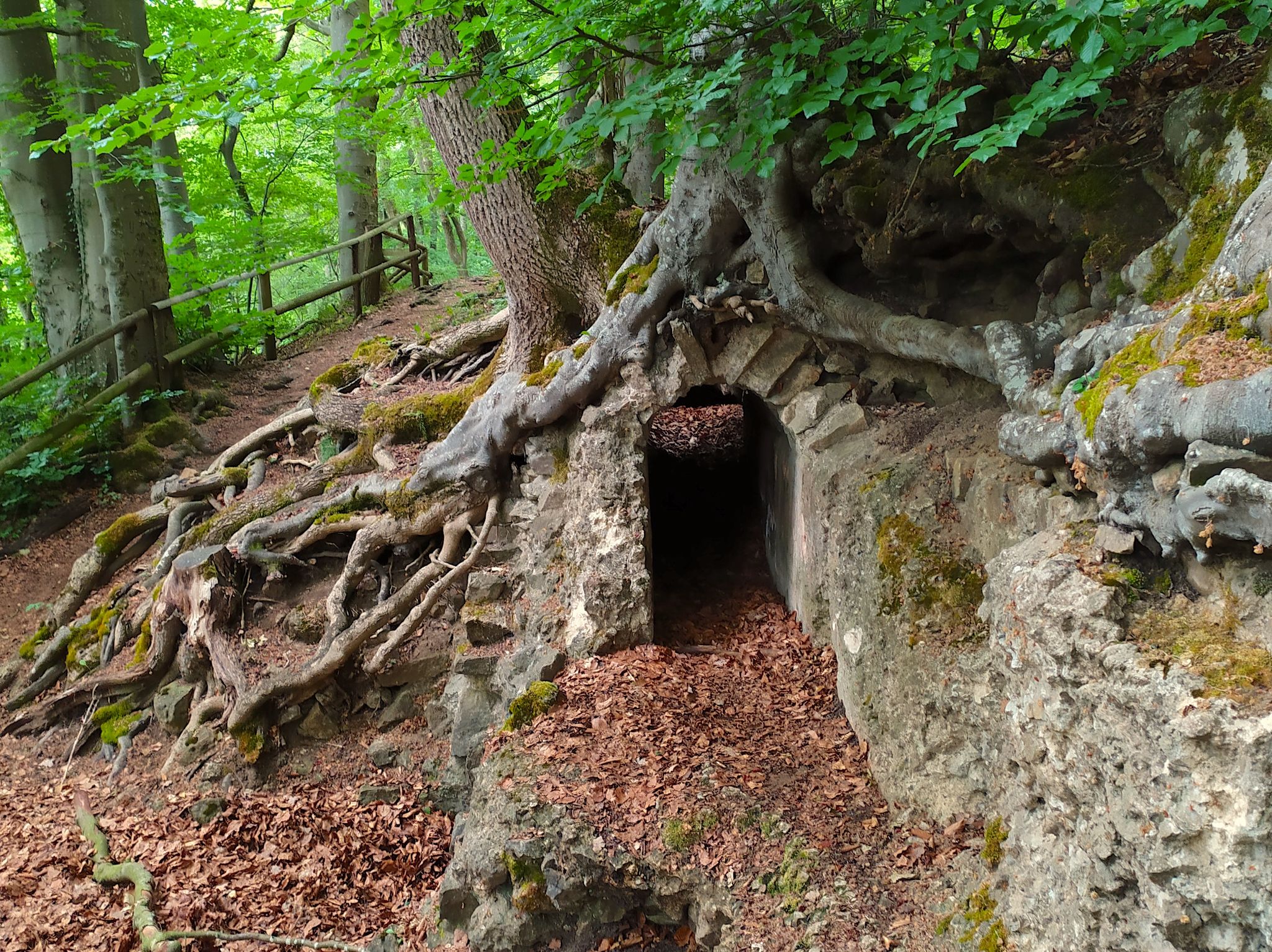
Hike from Cologne to the Eifel – Roman Canal Trail
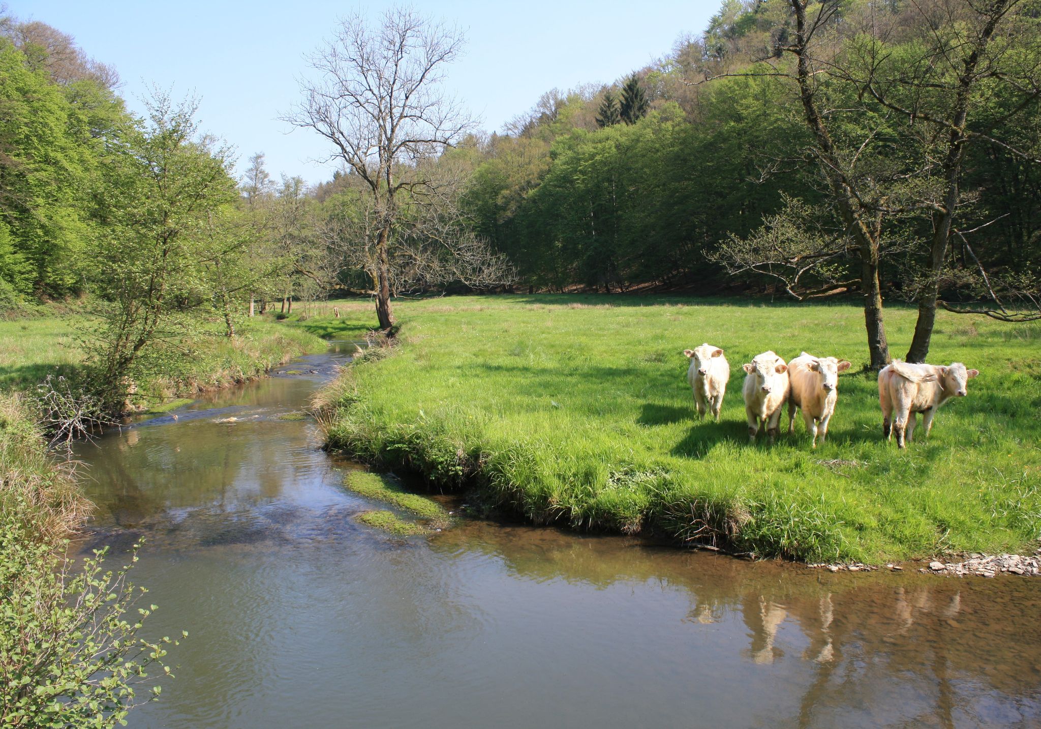
Nature and culture in beautiful landscapes – hikes on the Rhine and Sieg
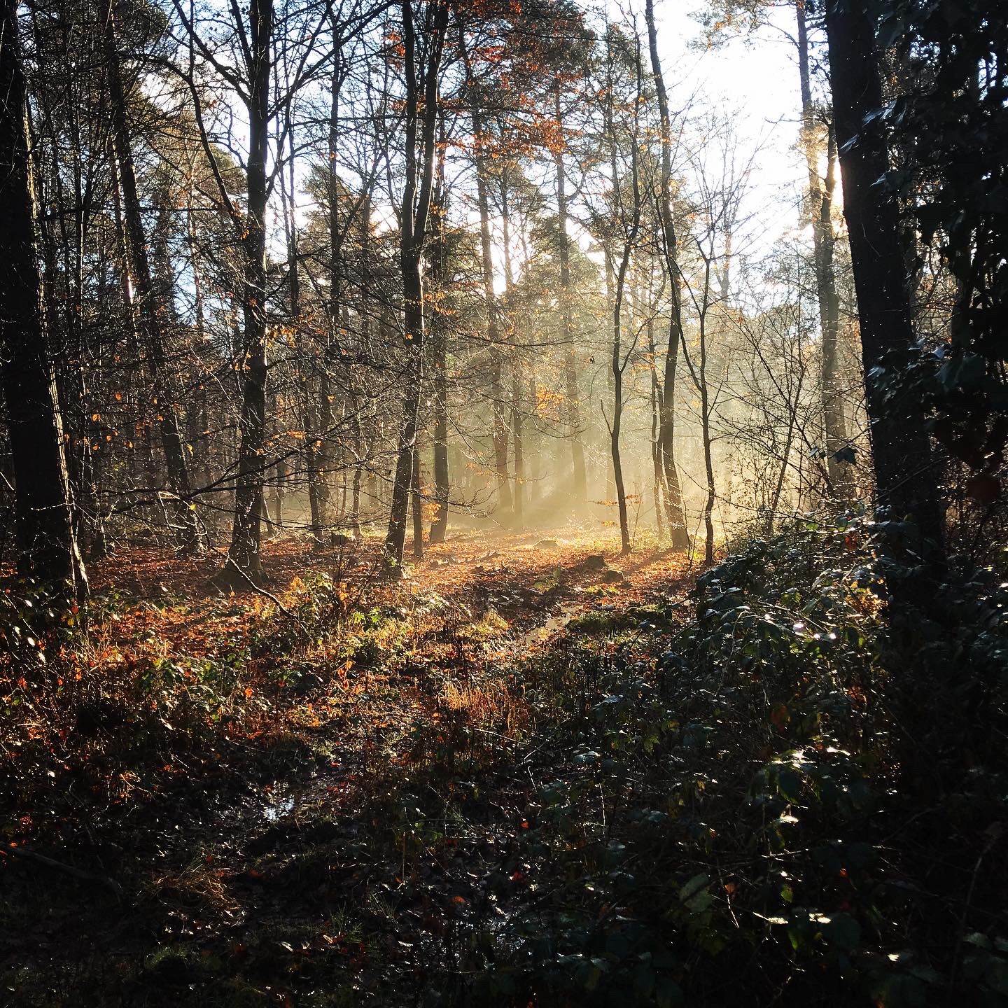
Naturpark Rheinland - Our most beautiful hiking trails
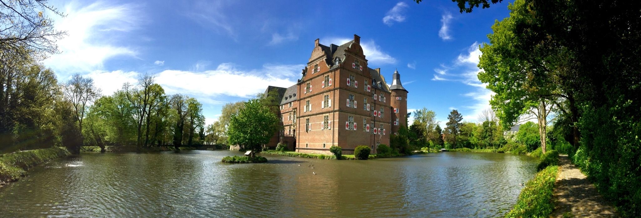
Wasserburgen-Route — A ride through Germany's Castle Country from the Rhine to the Eifel and back
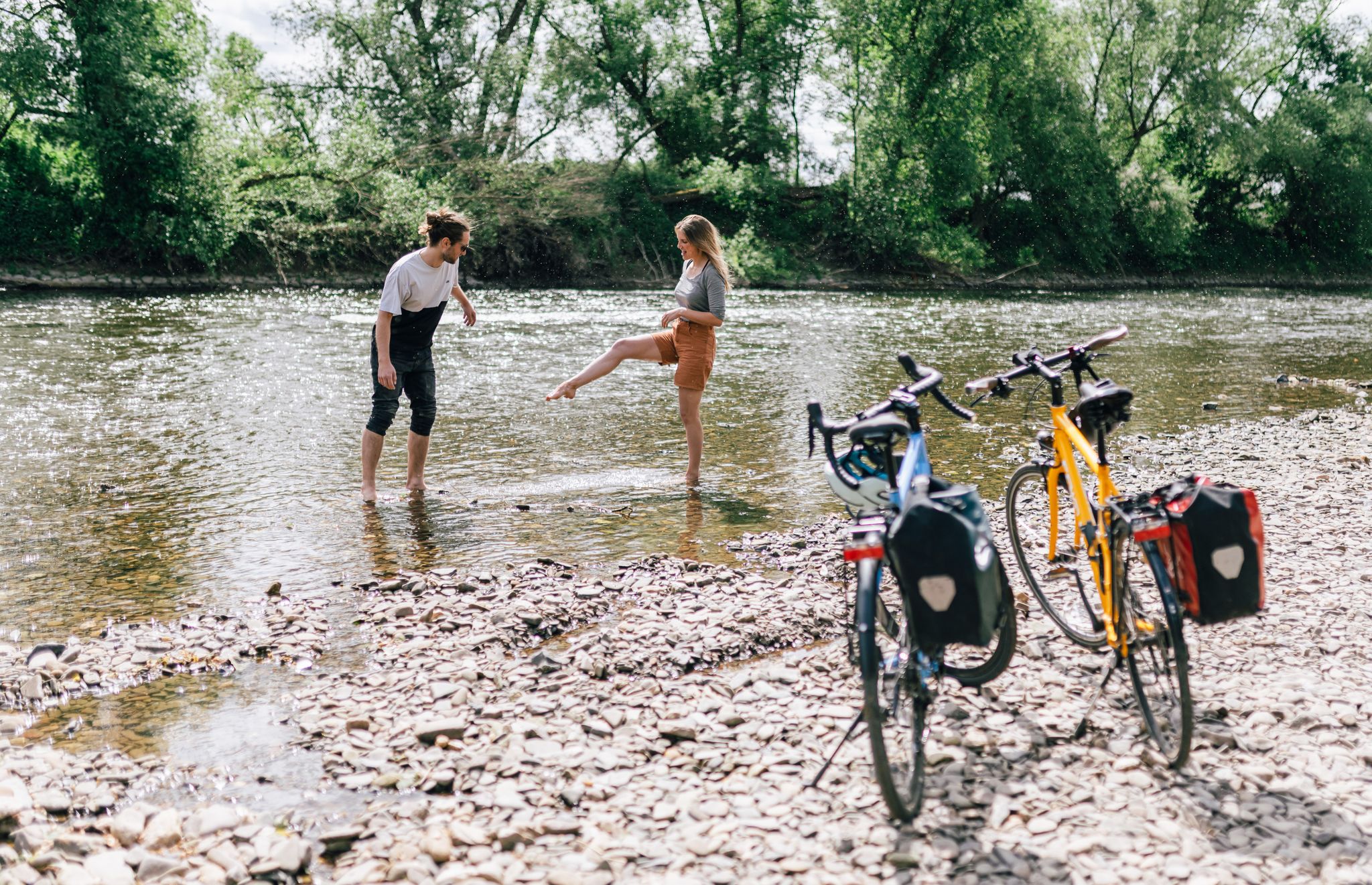
Close to water – cycling in the Rhineland cycling region
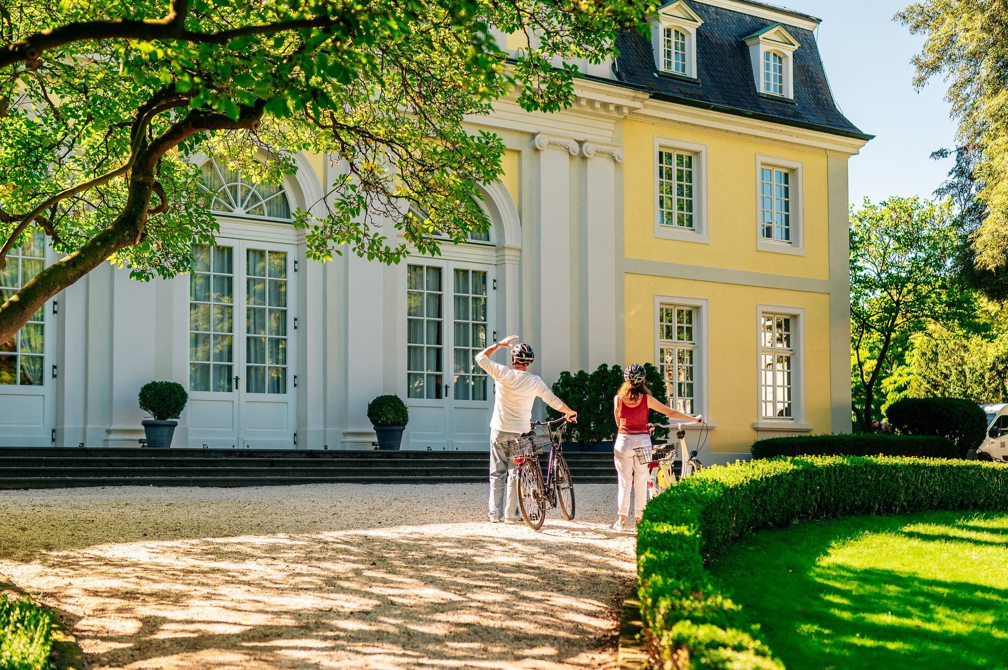
History in the Rhineland – cycling in the Rhineland cycling region
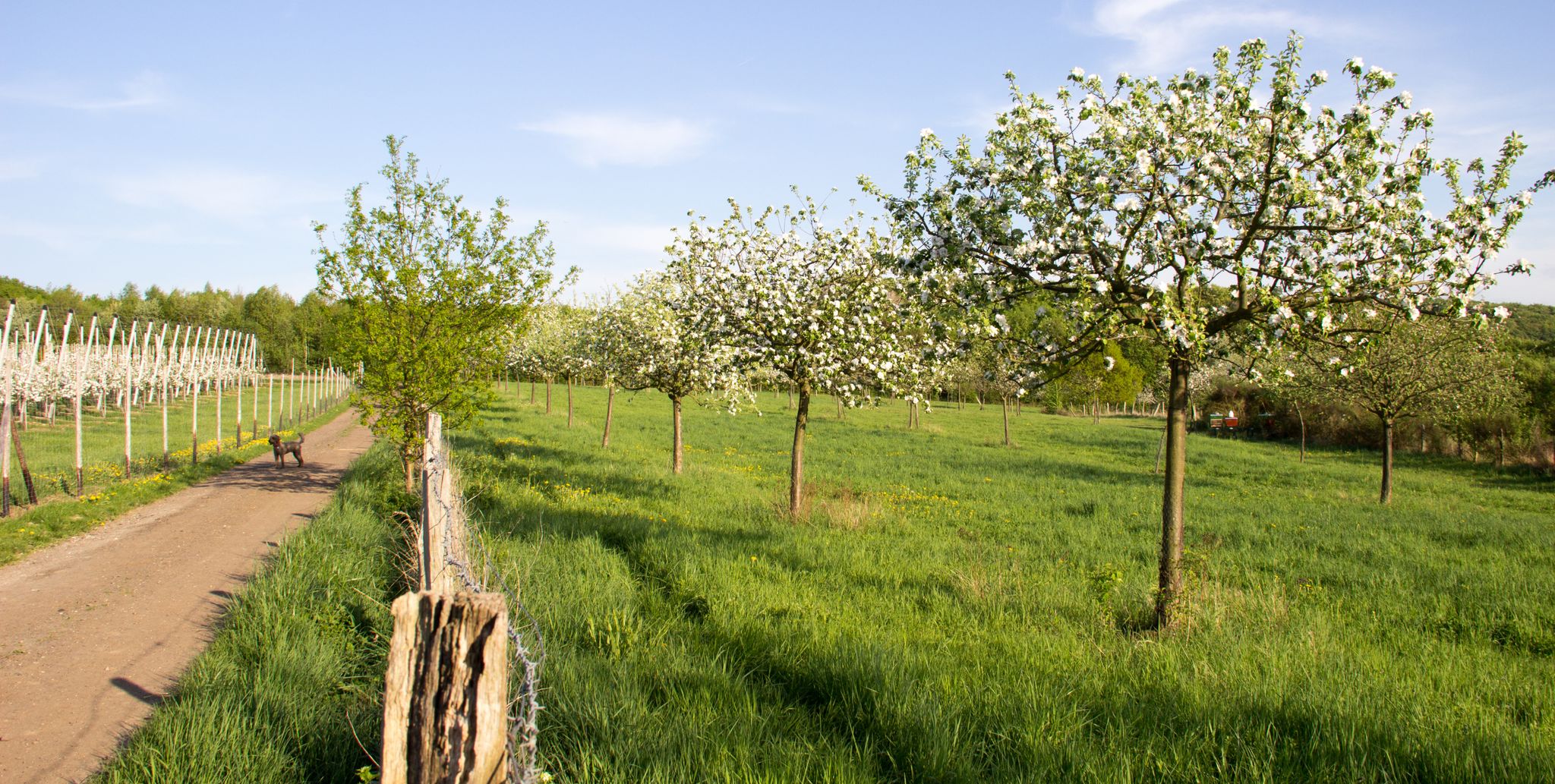
Im Zeichen des Apfels – Die Rheinische Apfelroute
Other adventures around Rheinbach


Tips from the Community

Yes, it's useful—or, if you prefer that word, practical—to know a hiking parking lot as a starting point for your tour, or to find it here in the komoot system when planning. However, I personally imagine something more beautiful as a true "highlight" that would actually deserve the name, especially since the forest chapel located here, which is worth seeing, is listed as a standalone highlight in the komoot system. See =>> https://www.komoot.com/de-de/highlight/180096
7
0

Well located hiking car park in front of the pretty village of Hilberath
0
0

Also suitable for sledding in winter.
0
0

Barn cafe in Hilberat, large selection of cakes.
0
0

From and around the Tomburg: a magnificent view of a diverse settlement, culture, and landscape area, from the Ville and Börden landscape in the west, across the 'Middle Rhine Gate', where the Rhine Valley widens, to the Siebengebirge on the horizon, and further into the Wachtberg region with Landskron Castle in the south. 😎👌
0
0
"...The Eulenbach, together with the Gräbbach, is a 12.3 km long, orographically left tributary of the Swist River in North Rhine-Westphalia, Germany. The stream flows entirely within the Rhein-Sieg district, within Rheinbach and the Swist Valley..." FURTHER INFORMATION: https://de.wikipedia.org/wiki/Eulenbach_(Swist)
1
0

The ride through the apple orchards is a pleasure at any time.
0
0

As the attentive user joetobn has already noticed, the location of the bridge is unfortunately not displayed correctly on the map. I have added a map section showing the correct location as an additional photo. This is too far from the incorrect marker. I have already asked Komoot to correct the location.
1
0
Frequently Asked Questions
How many bus station hiking trails are available around Rheinbach?
There are over 260 hiking trails around Rheinbach that are easily accessible from bus stations. This includes a wide variety of routes, with 176 classified as easy, 79 as moderate, and 6 as difficult, ensuring options for all fitness levels.
Are there any easy, family-friendly hikes accessible by bus in Rheinbach?
Yes, Rheinbach offers many easy routes suitable for families. For example, the Café in the Old Barn – Café in the Old Barn loop from Hilberath is an easy 7 km hike. The region also features the "Forest & Water" educational forest trail, which is great for interactive learning about local flora and fauna.
What kind of landscapes can I expect on bus-accessible hikes near Rheinbach?
Hikes near Rheinbach, accessible by bus, offer diverse landscapes. You'll find extensive forests like the Rheinbacher Wald Nature Reserve, rolling hills, and proximity to the Eifel region. Many trails follow idyllic streams, and some even lead through areas with volcanic remnants, such as the volcano trail around Stenzelberg near Flerzheim.
Are there circular hiking routes starting from Rheinbach bus stations?
Yes, many routes are designed as circular walks, allowing you to start and end at the same bus station. A popular moderate option is the Nature Park Rhineland | Rheinbacher-Forest-Round, which takes you through the beautiful Rheinbacher Forest.
What historical or natural attractions can I see along these bus station trails?
Many trails incorporate fascinating historical and natural attractions. You can discover the Devil's Hole, explore the Maibachklamm Wooden Pathways and Bridges, or visit the Tomburg Castle Ruins. The Roman Canal Trail (Römerkanal-Wanderweg) also offers a journey through history, following relics of a Roman aqueduct.
Are the bus station hiking trails in Rheinbach dog-friendly?
Generally, the natural areas around Rheinbach are welcoming to dogs. Many forest paths and open trails are suitable for walks with your canine companion. However, it's always recommended to keep dogs on a leash, especially in nature reserves or near wildlife, and to check specific trail regulations if available.
When is the best time of year to go hiking near Rheinbach using public transport?
The region is beautiful year-round. Spring is ideal for fresh green foliage and blooming flowers, while autumn offers stunning leaf colors and opportunities to taste local wines in the Ahr Valley. Even winter can be charming for a quiet walk, though some paths might be muddy or icy.
What do other hikers say about the bus-accessible trails in Rheinbach?
The komoot community highly rates the hiking experience around Rheinbach, with an average score of 4.5 out of 5 stars from over 2,900 ratings. Hikers often praise the quiet woodlands, well-maintained paths, and the variety of routes that cater to different preferences and fitness levels.
Are there any trails that lead to scenic viewpoints or offer panoramic views?
Yes, the region boasts numerous viewpoints. The nearby Ahr Valley, for instance, has vantage points like Altenahrer Eck with stunning views. The Saffenburg Castle Ruins also offer magnificent views over the Ahr valley and its vineyards, accessible via a scenic path.
Can I find trails that include water features like ponds or streams?
Absolutely. Many routes in Rheinbach feature beautiful water elements. The Forstweiher – Katharinen Pond loop from NSG Stiefelsbach und Zufluesse is an easy option that takes you past ponds. You'll also encounter numerous small streams, such as the Eulenbach stream and the Vischelbach Valley, adding to the tranquil hiking experience.
Are there any moderate difficulty trails that start from a bus station?
Yes, there are several moderate trails. The Old Ponds – Tomburg Castle Ruins loop from Rheinbach is a popular moderate hike, approximately 11.8 km long, offering a good balance of challenge and scenic beauty. Another moderate option is the Thomas Spring – Hackesiefen Pond loop from Rheinbach.
Most popular routes around Rheinbach
Most popular attractions around Rheinbach

Get inspired with the komoot mobile app


Explore more
Browse the best Hikes in other regions.
