The best hikes from bus stations around Meiningen
4.6
(1162)
4,270
hikers
206
hikes
Bus station hiking trails around Meiningen offer access to diverse landscapes at the edge of the Thuringian Forest and the Rhön Biosphere Reserve. The region features a mix of dense woodlands, river valleys like the Werra, and the unique volcanic formations of the Rhön Mountains. Trails often lead through areas characterized by Muschelkalk cliffs and offer views of hills such as the Dolmar.
Best bus station hiking trails around Meiningen
- The most popular bus station hiking route is Bildstein Stone Marker – View from the Diezhäuschen loop from Meiningen, a 3.9 miles (6.3 km) trail that takes 1 hour 51 minutes to complete, offering views from the Diezhäuschen.
- Another top favourite among local hikers is English Garden (Meiningen) – Meiningen Arch Bridge loop from Meiningen, a moderate 4.9 miles (7.9 km) path. This route traverses the English Garden and follows the Werra River.
- Local hikers also love the Meiningen Arch Bridge – View from the Diezhäuschen loop from Meiningen, a 3.6 miles (5.8 km) trail leading through varied terrain, often completed in about 1 hour 51 minutes.
- Hiking around Meiningen is defined by its proximity to the Thuringian Forest, the volcanic landscapes of the Rhön, and the scenic Werra Valley. The network offers options for different ability levels, from easy strolls to more challenging ascents.
- The routes in Meiningen are highly rated by the komoot community with an average score of 4.6 stars from more than 700 reviews. More than 3000 hikers have used komoot to explore Meiningen's varied terrain.
Last updated: August 6, 2026
4.5
(11)
59
hikers
6.35km
01:51
150m
150m
Moderate hike. Great for any fitness level. Mostly accessible paths. Sure-footedness required.
4.9
(10)
44
hikers
Moderate hike. Good fitness required. Easily-accessible paths. Suitable for all skill levels.

Sign up for free
4.5
(4)
25
hikers
11.2km
03:10
230m
230m
Moderate hike. Good fitness required. Easily-accessible paths. Suitable for all skill levels.
4.0
(3)
21
hikers
6.81km
01:51
100m
100m
Easy hike. Great for any fitness level. Easily-accessible paths. Suitable for all skill levels.
4.7
(6)
21
hikers
8.13km
02:16
150m
150m
Moderate hike. Good fitness required. Easily-accessible paths. Suitable for all skill levels.
Get access to more routes and recommendations from other explorers.
Sign up for free
Already have an account?
Our route recommendations are based on thousands of hikes, rides, and runs completed by other people on komoot.
Start today with a free account
Your next adventure awaits.
Login or Signup
Popular around Meiningen
From the Celts to the modern world – Celtic Experience Trail
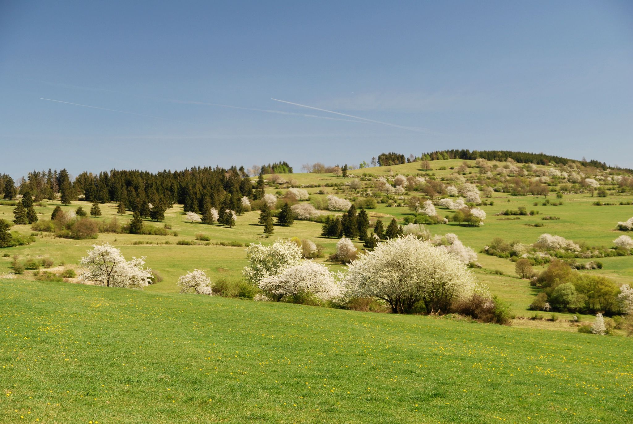
Extra tours North - excellent premium hiking trails of Rhön
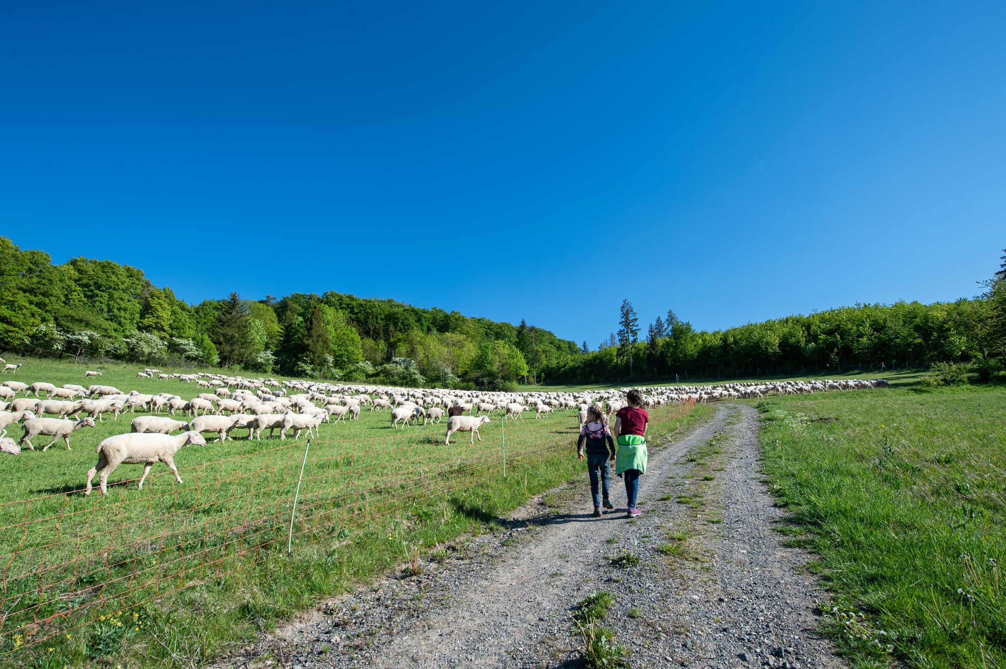
Family paths - on the way with kids in the Rhön
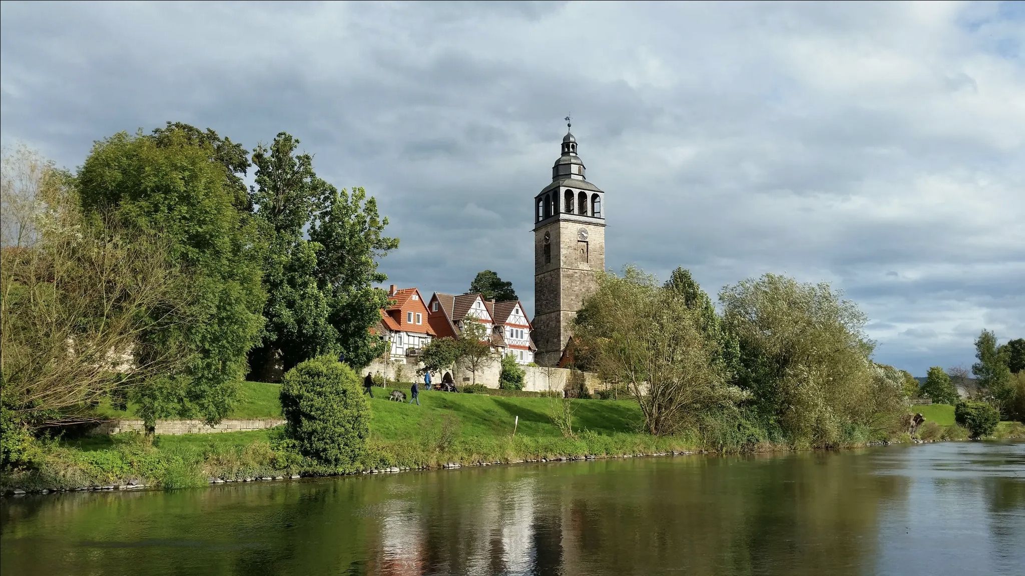
Werra-Burgen-Steig trail – castles and forests in 3 states
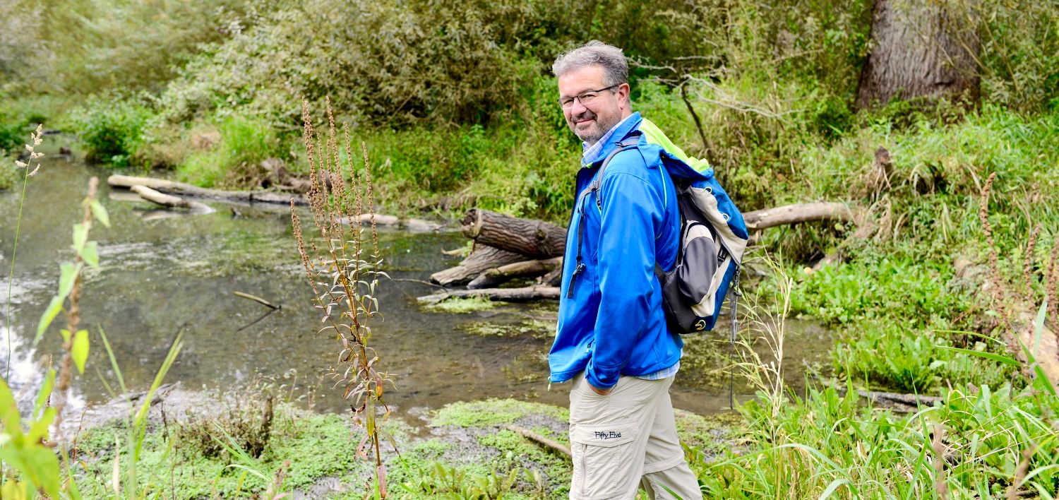
NATOUR-GUIDE — experience living rivers
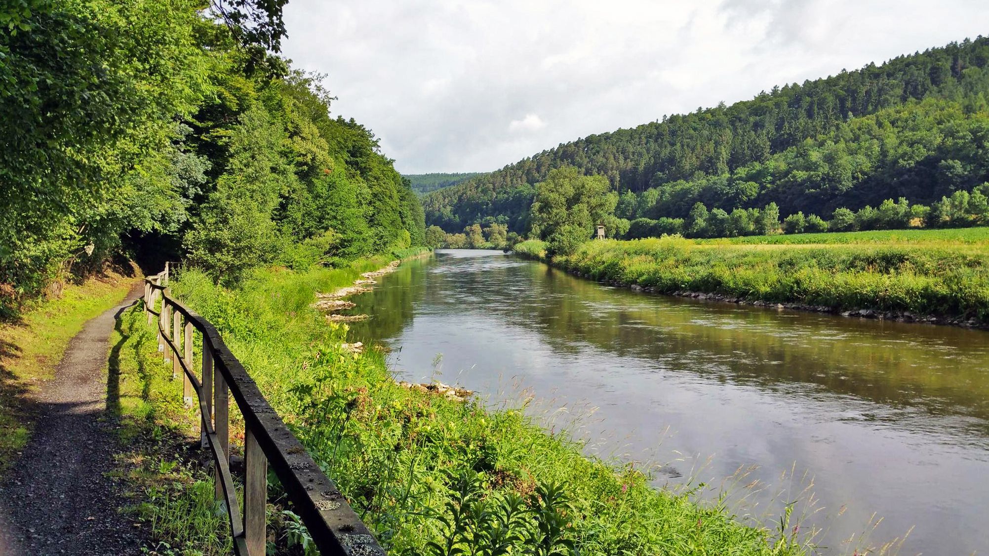
Werratal cycle path — 6 stages along the Werra to the Fulda
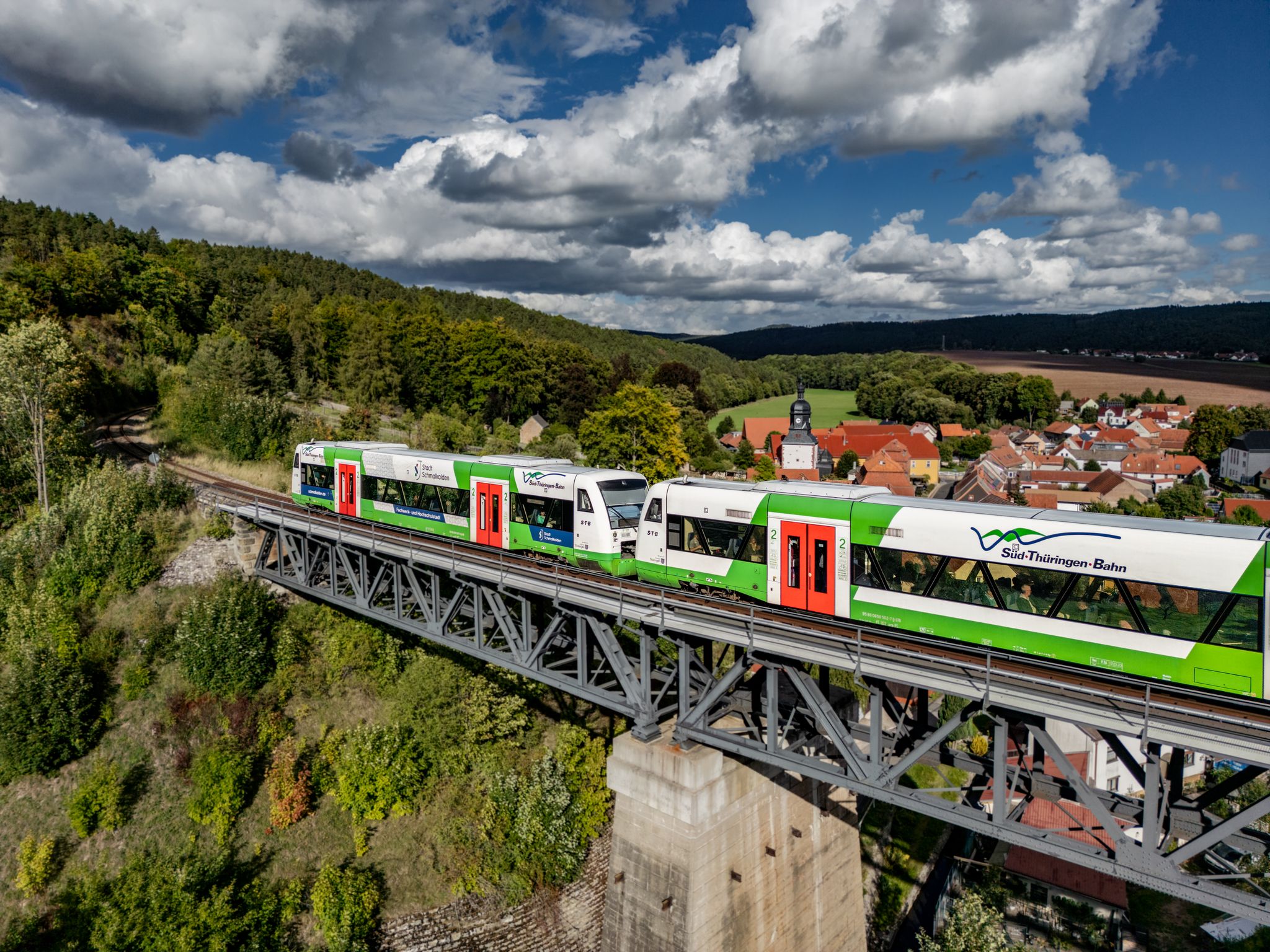
Zwischen Werra und Wartburg – Wandern mit der Süd•Thüringen•Bahn
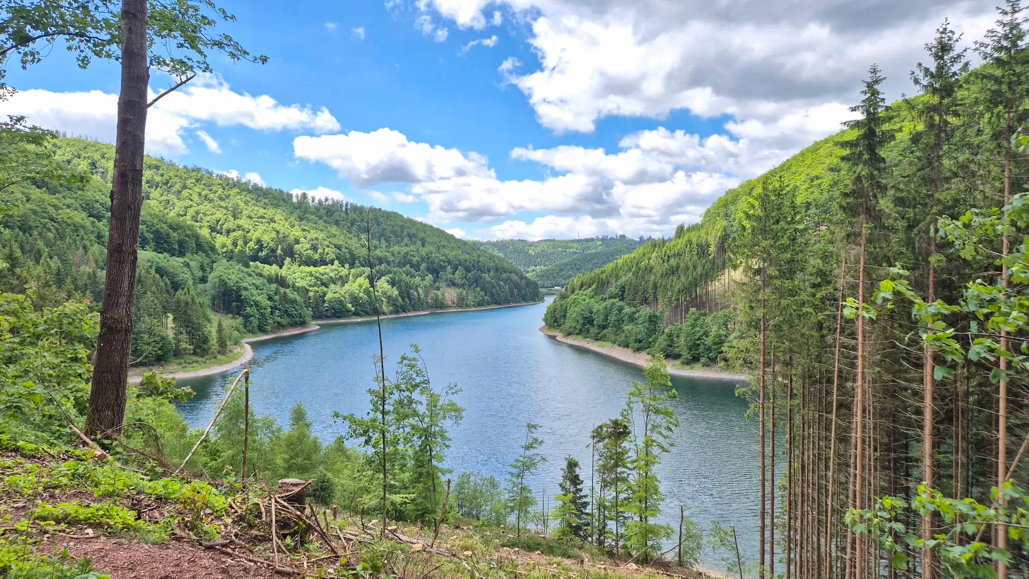
Zwischen Bergen und Flüssen – Gravel-Abenteuer in Mitteldeutschland
Other adventures around Meiningen


Tips from the Community

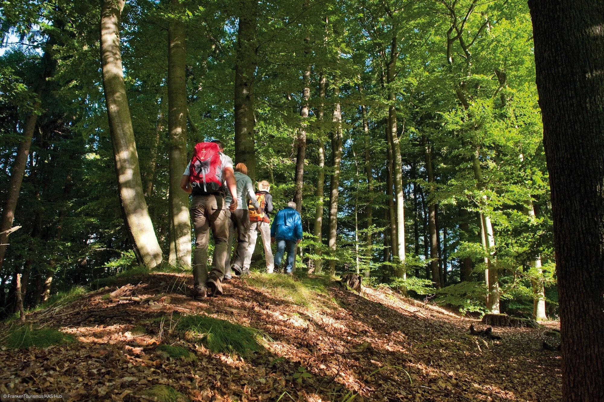
Just a walk through the forest
0
0
Nice for hiking and relaxing
0
0

Ducal Crypt Chapel in the English Garden in Meiningen
0
0

The Meiningen Goose Man. Several similar versions of this figure exist in Germany. In the Meiningen Goose Man, the geese are facing sideways. The fountain was originally located on Henneberger Straße and was later moved to its current location.
2
0

The highlight is the wheels in the facade.
0
0
It's great that such places still exist!
0
0

Construction of the twin-towered St. Mary's Church, which dominates the cityscape, began during the Ottonian period. As the oldest surviving building in the city, it combines several architectural styles, resulting from a 1,000-year-old, eventful history. The town church forms the focal point of Meiningen's historic old town and stands on the south side of the market square. With its towers and nave, it towers above the surrounding buildings, which consist of half-timbered houses from the 17th and 18th centuries and neoclassical town houses from the 19th century. Near the north side of the nave is the "Heinrichsbrunnen" (Henry Fountain), featuring a statue of Emperor Henry II. According to tradition, Henry II initiated the construction of the church after his coronation as king during his visit to Meiningen in early January 1003. Source: Wikipedia
7
1
Frequently Asked Questions
How many bus station hiking trails are available around Meiningen?
There are over 200 hiking routes around Meiningen that are easily accessible from bus stations. These trails cater to various fitness levels, with a good mix of easy and moderate options.
What do other hikers enjoy most about the bus-accessible trails in Meiningen?
The komoot community highly rates the trails around Meiningen, with an average score of 4.6 stars from over 790 ratings. Hikers often praise the diverse landscapes, from the lush Thuringian Forest to the open views of the Rhön, and the convenience of starting directly from bus stops.
Are there any easy or beginner-friendly bus-accessible hikes in Meiningen?
Yes, Meiningen offers many easy hikes perfect for beginners or those looking for a relaxed stroll. An excellent option is the Kahle Emma Viewpoint – View of Meiningen loop from Parkfriedhof, which is an easy 6.9 km route with gentle elevation changes, offering lovely views.
Can I find circular hiking routes that start and end at a bus station?
Absolutely. Many of the bus-accessible routes around Meiningen are circular, allowing you to return to your starting point without needing additional transport. For example, the Bildstein Stone Marker – View from the Diezhäuschen loop from Meiningen is a moderate 6.3 km circular hike offering scenic vistas.
What kind of natural landscapes can I expect to see on these trails?
The region around Meiningen offers a rich variety of landscapes. You'll encounter the dense, green Thuringian Forest, the unique volcanic features of the Rhön Mountains, and picturesque stretches along the Werra Valley. Trails also lead to viewpoints like the Diezhäuschen, offering panoramic views of the city and surrounding nature.
Are there any historical or cultural landmarks along the bus-accessible hiking trails?
Yes, Meiningen's trails often weave through areas rich in history and culture. You might pass by sites like the "Ritterlöcher" or the pre-Christian cult site "Geltmauer." Within Meiningen itself, the English Garden provides a tranquil setting, and routes like the English Garden (Meiningen) – Meiningen Arch Bridge loop from Meiningen allow you to explore these urban green spaces and historical bridges like the Meiningen Arch Bridge.
What are some notable viewpoints accessible by bus-friendly hikes?
Several trails lead to stunning viewpoints. The Diezhäuschen is a popular spot offering excellent panoramas of Meiningen. The Meiningen Arch Bridge – View from the Diezhäuschen loop from Meiningen is a moderate 5.8 km route that takes you to this scenic outlook.
Are there any castles or ruins I can visit near the bus station trails?
Yes, the region is dotted with historical structures. While not directly on every bus-accessible trail, you can find highlights like the Kirchenburg Walldorf, Habichtsburg Ruins, and Henneburg Castle Ruins in the broader Meiningen area. Some bus routes might connect you closer to these fascinating sites.
What is the best time of year to go hiking from bus stations in Meiningen?
Meiningen offers great hiking opportunities year-round. Spring brings blooming nature, summer provides lush green forests, and autumn showcases vibrant foliage. Even winter can be beautiful for hiking, especially in the Thuringian Forest, though some trails might require appropriate gear for snow or ice.
Are there any specific bus lines that are particularly useful for accessing hiking trailheads?
While specific bus line numbers can vary, the local public transport network in Meiningen is designed to connect the town with surrounding villages and natural areas. It's advisable to check the current bus schedules for routes heading towards areas like the Thuringian Forest, the Rhön foothills, or specific local mountains like Dolmar, as these often have stops conveniently located near trail entrances.
Can I find trails that offer views of the Werra River?
Yes, the Werra River winds through the landscape, and several routes offer picturesque views along its banks. The "Outer Ring Trail" for instance, crosses the Werra Valley. You can also find highlights like the Werratal Cycle Path which runs alongside the river, providing easy walking opportunities.
Most popular routes around Meiningen
Most popular attractions around Meiningen

Get inspired with the komoot mobile app


Explore more
Browse the best Hikes in other regions.
